Elevation of Argusville, ND, USA
Location: United States > North Dakota > Cass County >
Longitude: -96.934527
Latitude: 47.0521927
Elevation: 270m / 886feet
Barometric Pressure: 98KPa
Elevation Map:
Satellite Map:
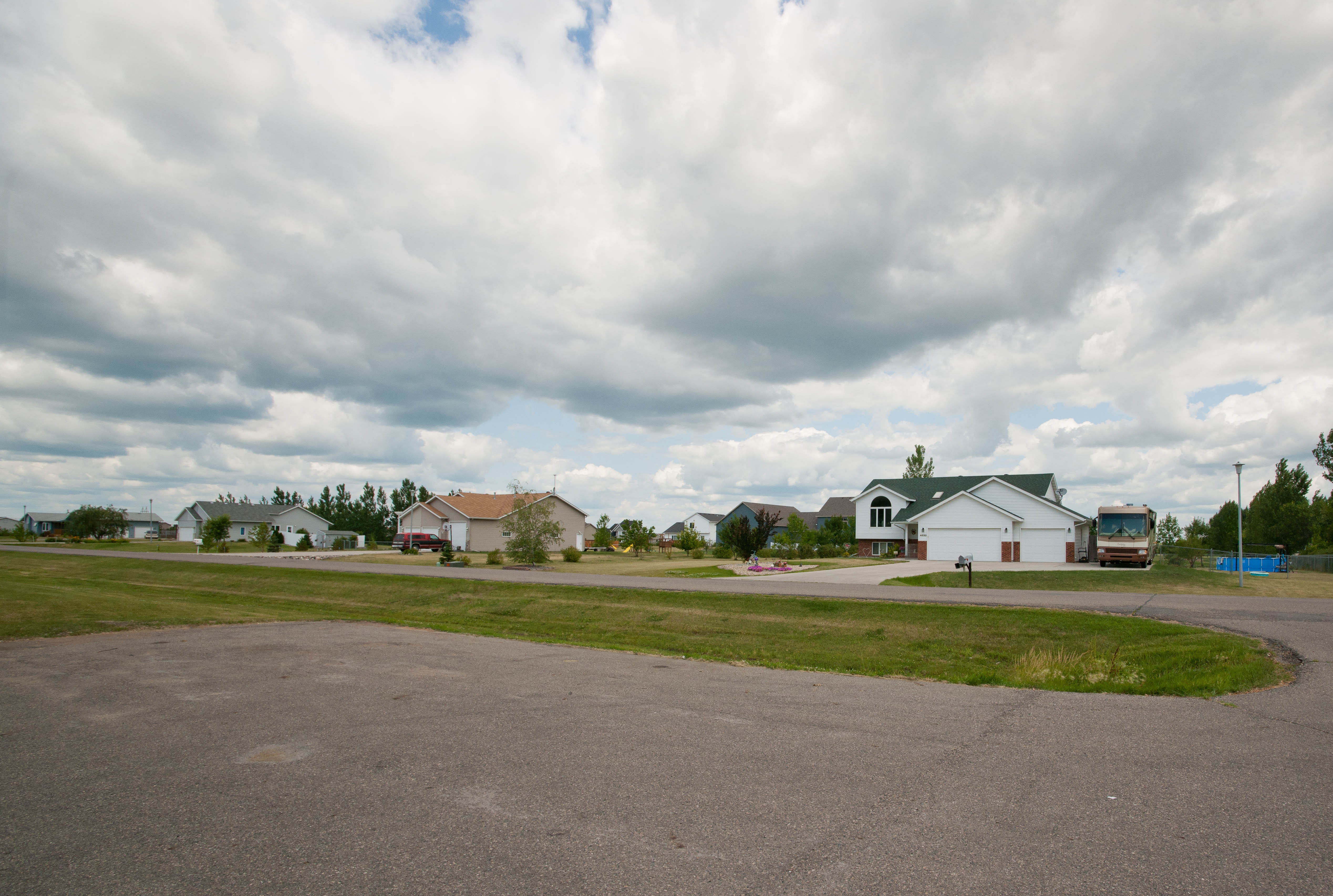
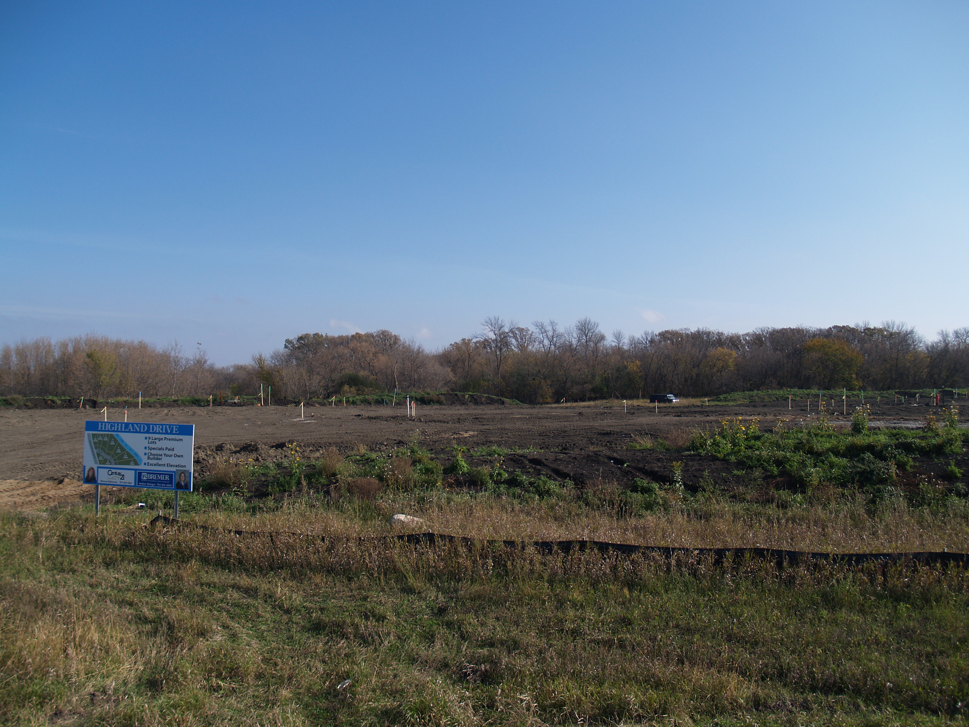
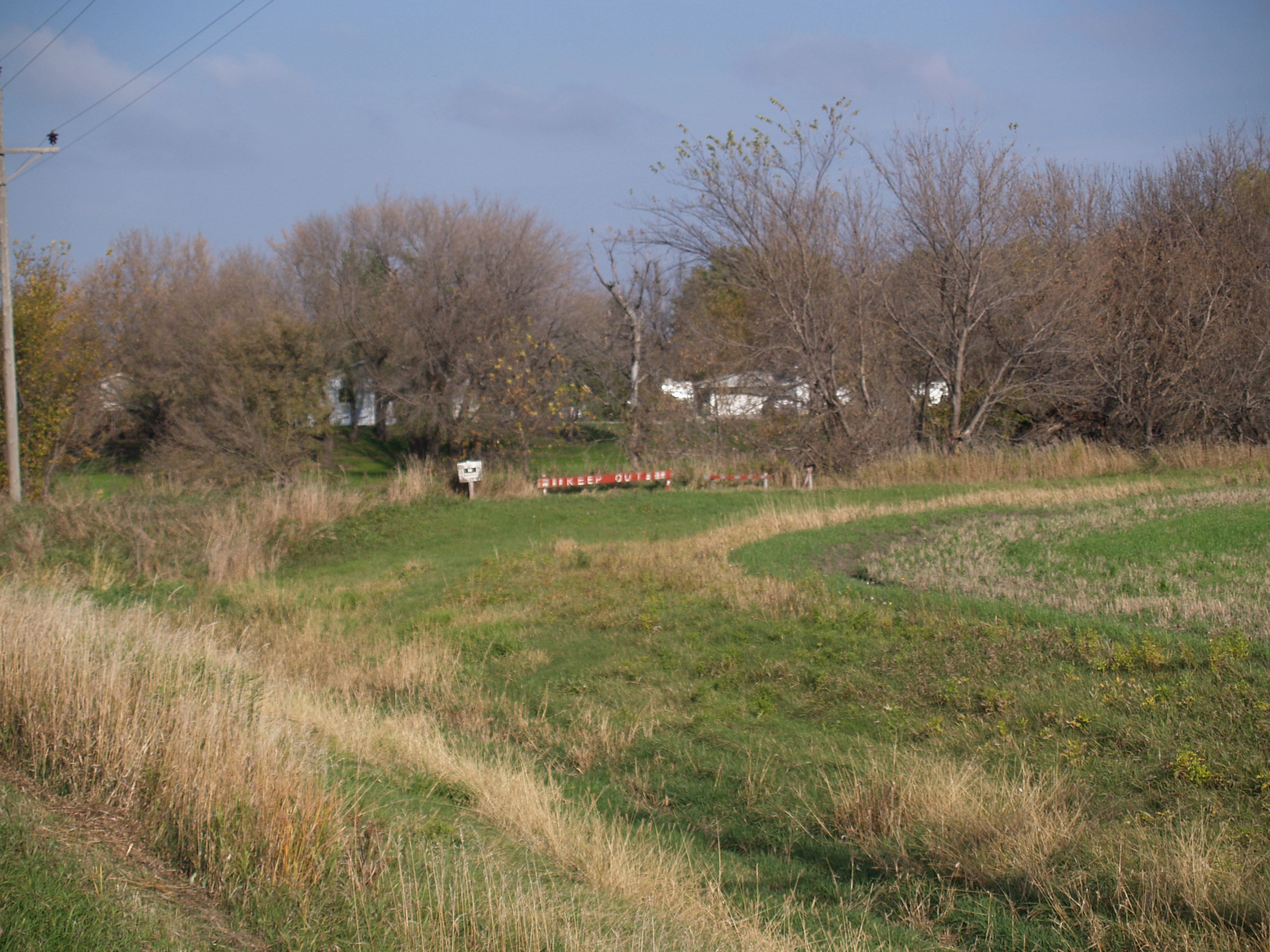
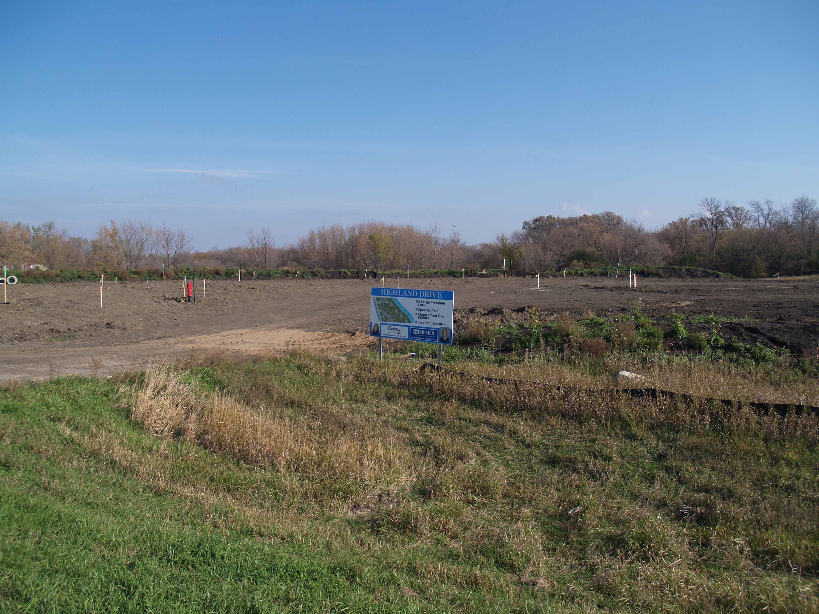
Related Photos:
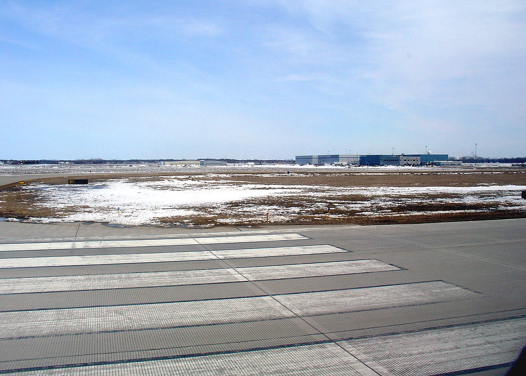
Ready for takeoff from Fargo, 28 March 2008
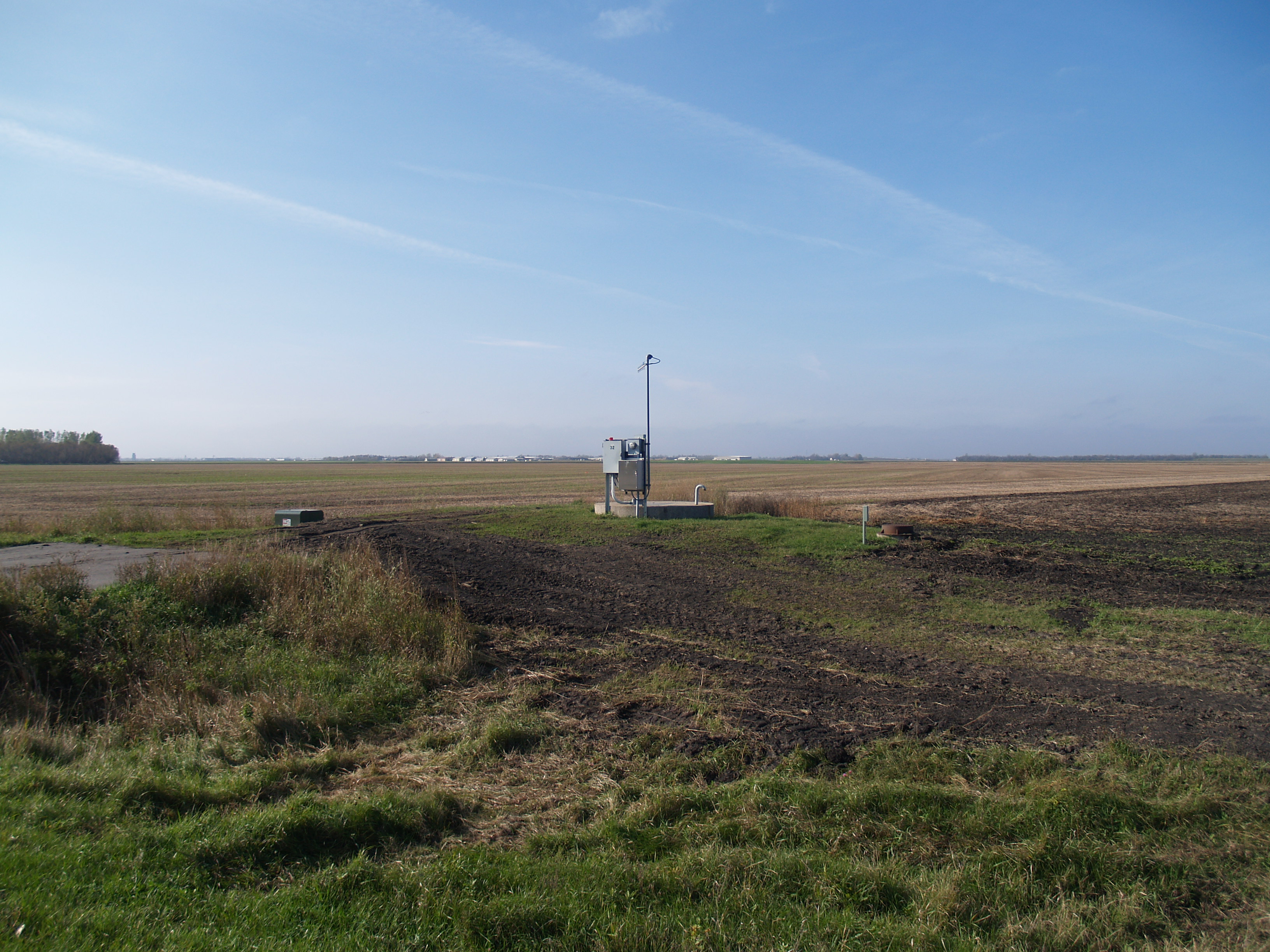
North River, North Dakota

Memories of A Past Morning
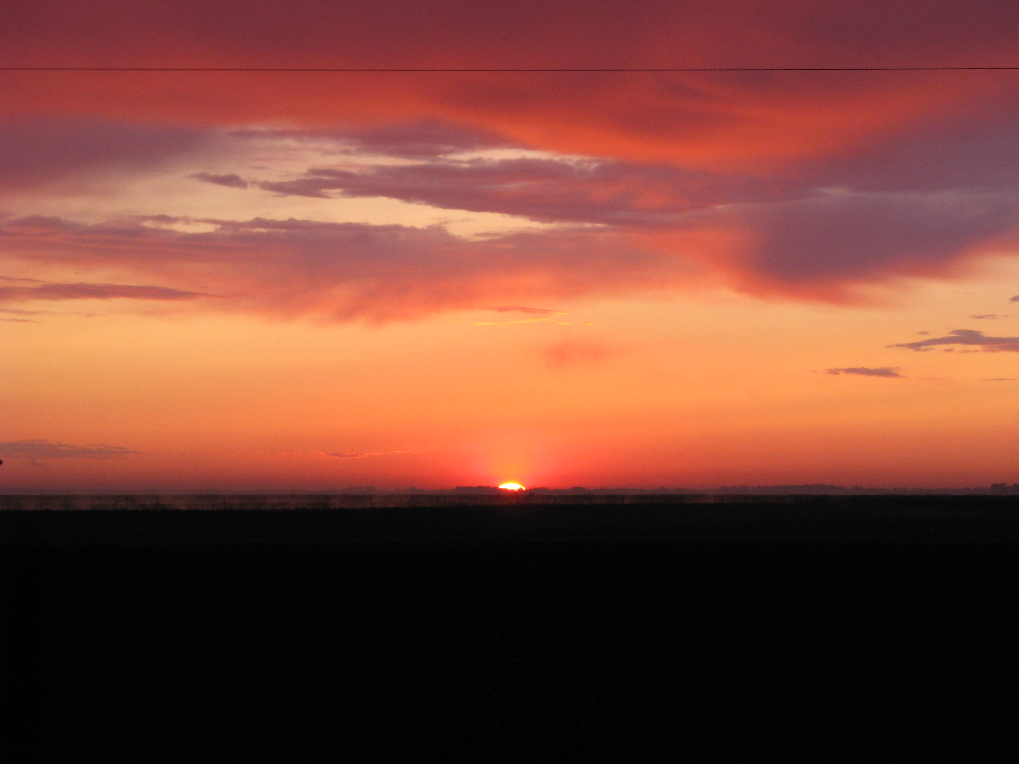
North Dakota sunrise
Pinkham, North Dakota
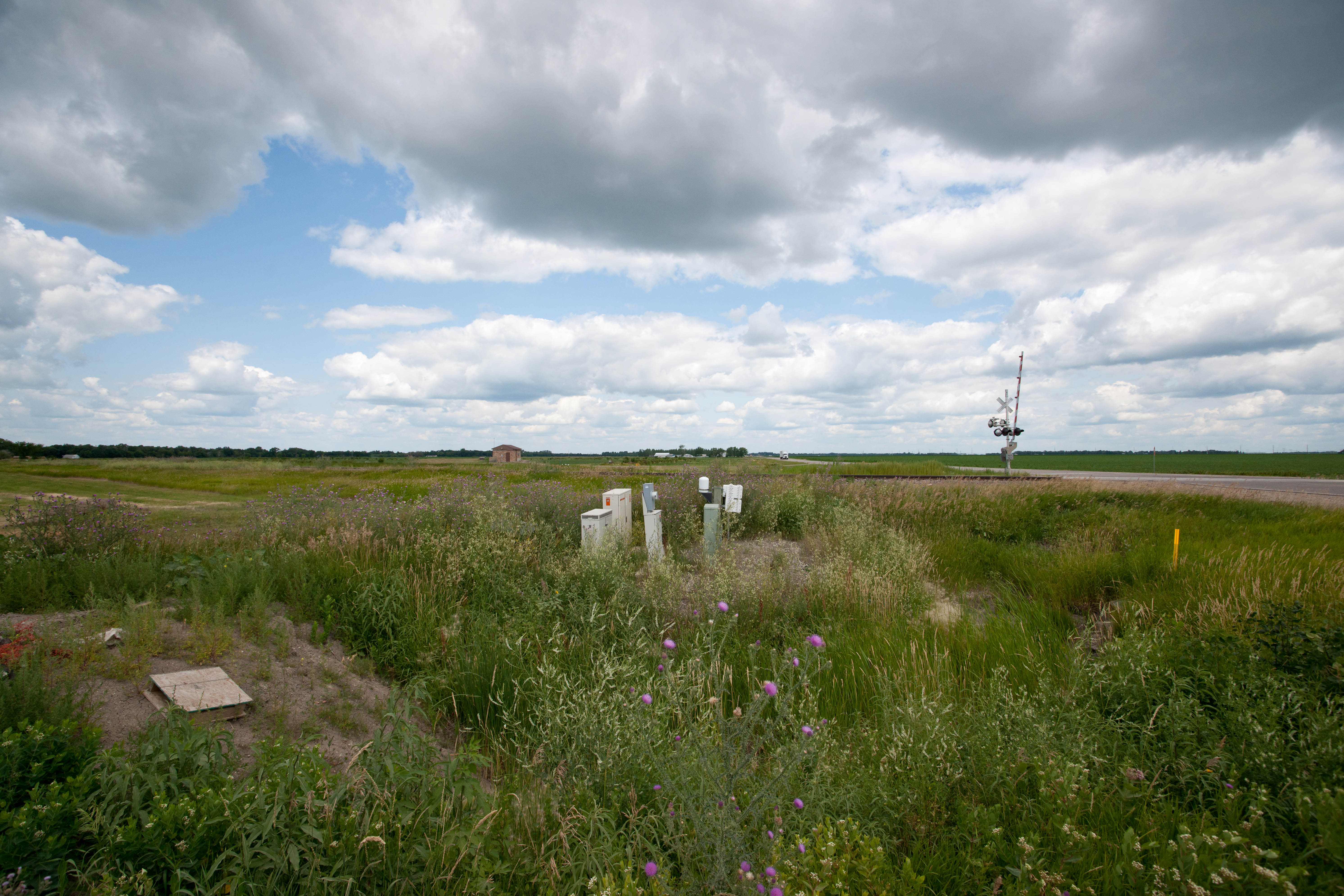
Reile's Acres, North Dakota
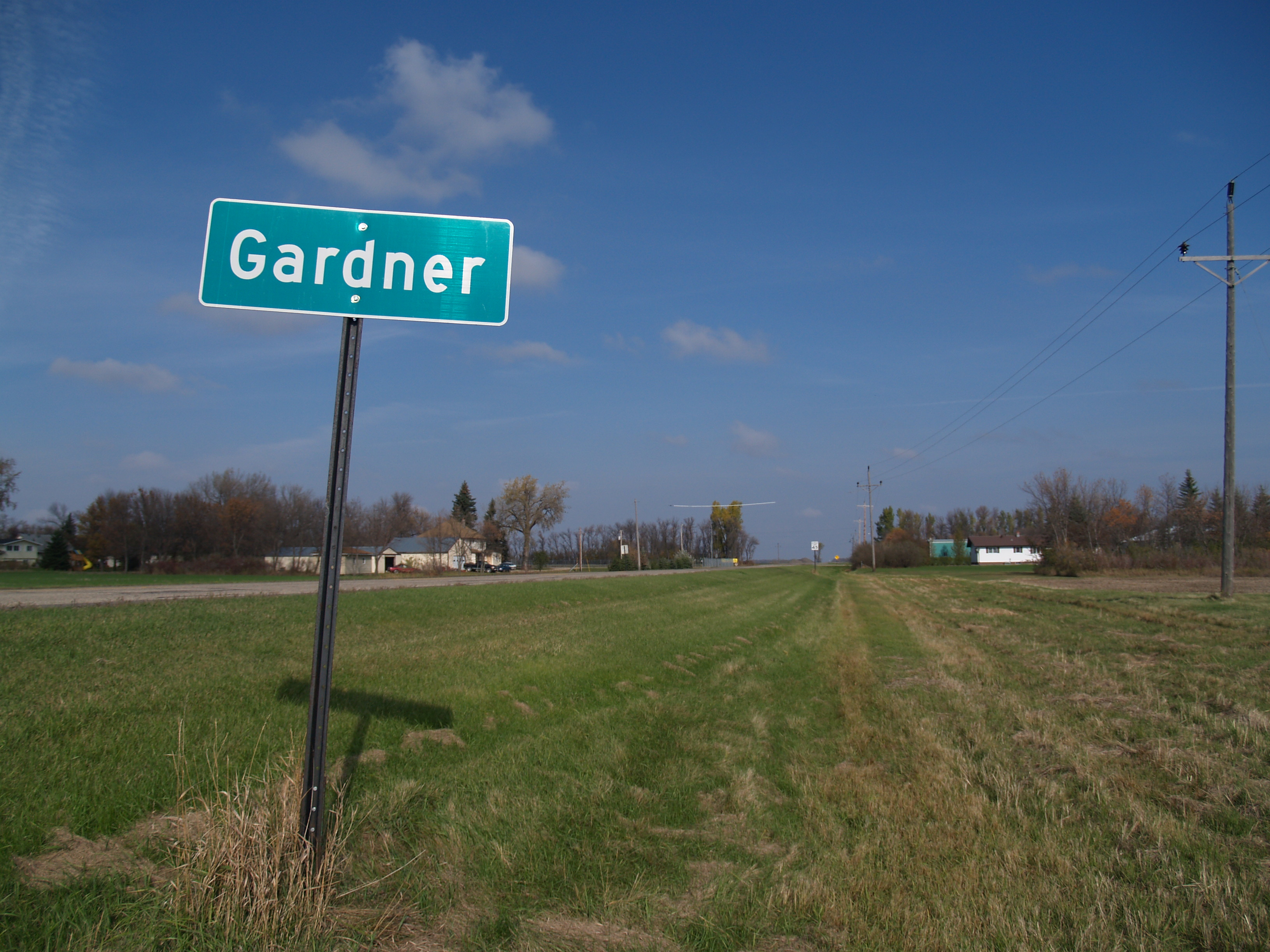
Gardner, North Dakota

Reile's Acres, North Dakota
Reile's Acres, North Dakota
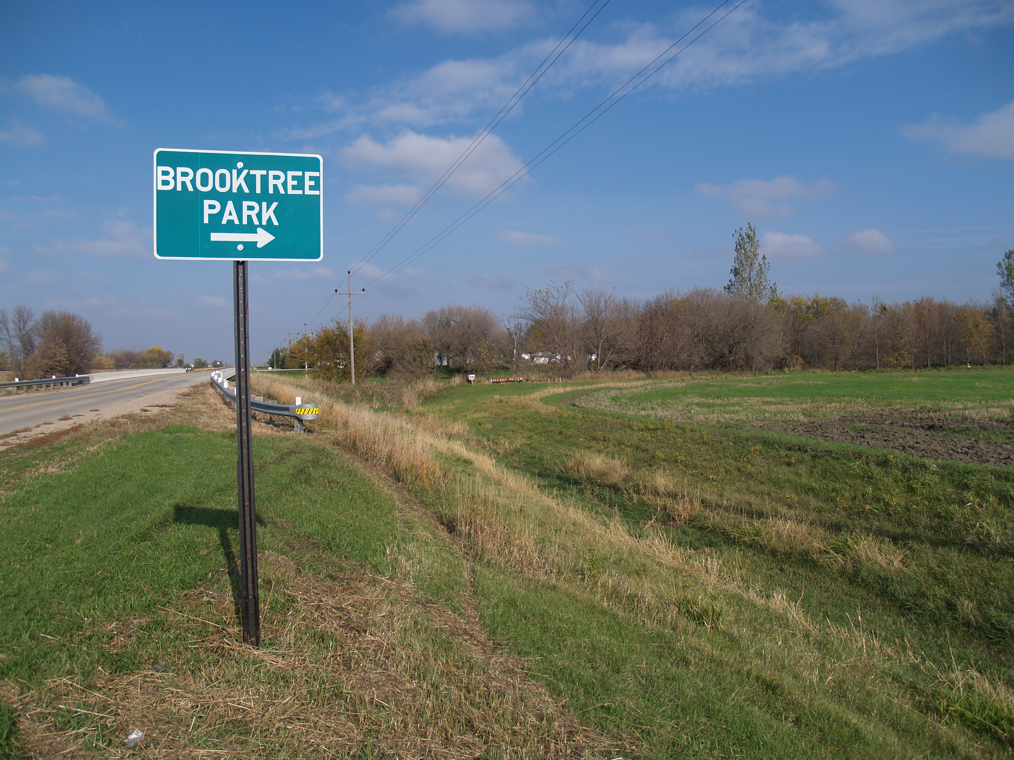
Brooktree Park, North Dakota
North River, North Dakota
Brooktree Park, North Dakota
North River, North Dakota
Topographic Map of Argusville, ND, USA
Find elevation by address:

Places near Argusville, ND, USA:
107 Drake Ave
837 Leonards Way
802 Sugar Dr
Front St, Gardner, ND, USA
Raymond
Prosper
Noble
Georgetown
1/2 Ave SE, Gardner, ND, USA
638 5th St Ct Nw
355 7th St Nw
365 6th St Nw
295 6th St Nw
1262 Main Ave W
650 2nd Ave Nw
West Fargo
1st St, West Fargo, ND, USA
Barnes
1220 Monte Carlo Dr
1801 23rd Ave N
Recent Searches:
- Elevation of Congressional Dr, Stevensville, MD, USA
- Elevation of Bellview Rd, McLean, VA, USA
- Elevation of Stage Island Rd, Chatham, MA, USA
- Elevation of Shibuya Scramble Crossing, 21 Udagawacho, Shibuya City, Tokyo -, Japan
- Elevation of Jadagoniai, Kaunas District Municipality, Lithuania
- Elevation of Pagonija rock, Kranto 7-oji g. 8"N, Kaunas, Lithuania
- Elevation of Co Rd 87, Jamestown, CO, USA
- Elevation of Tenjo, Cundinamarca, Colombia
- Elevation of Côte-des-Neiges, Montreal, QC H4A 3J6, Canada
- Elevation of Bobcat Dr, Helena, MT, USA