Elevation of Main Ave W, West Fargo, ND, USA
Location: United States > North Dakota > Cass County > West Fargo >
Longitude: -96.924266
Latitude: 46.8781422
Elevation: 274m / 899feet
Barometric Pressure: 98KPa
Elevation Map:
Satellite Map:
Related Photos:

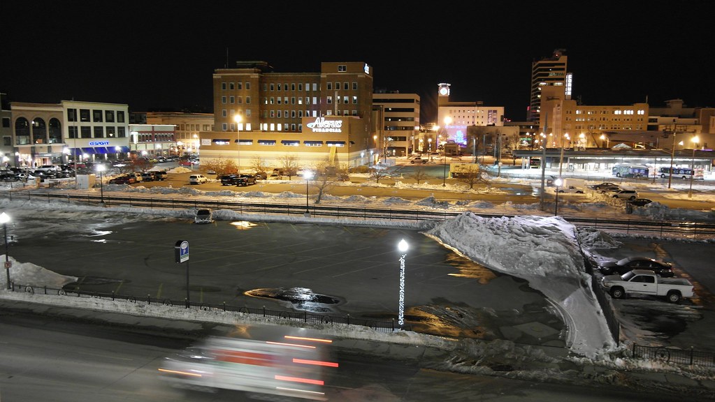
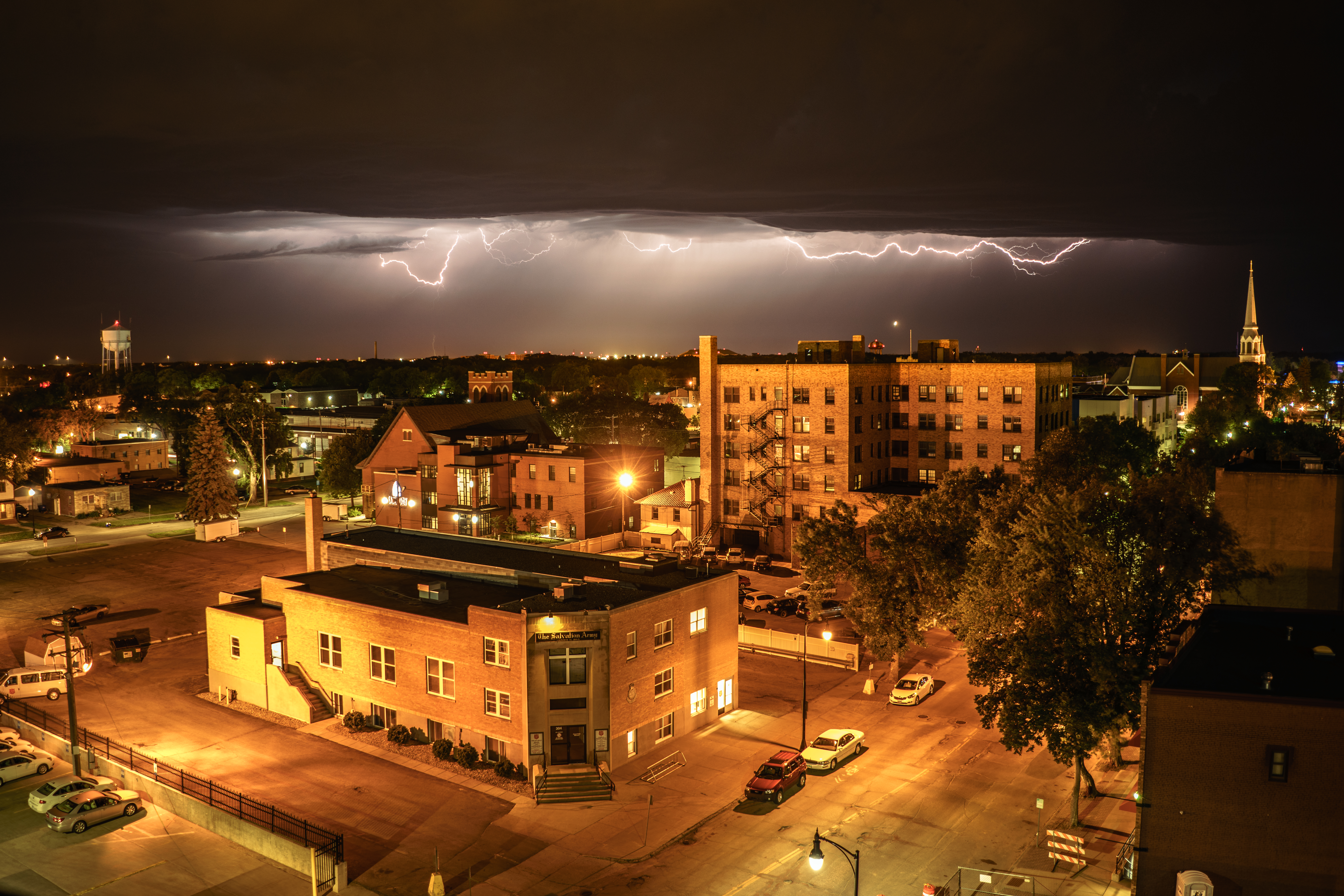
Heart of the City
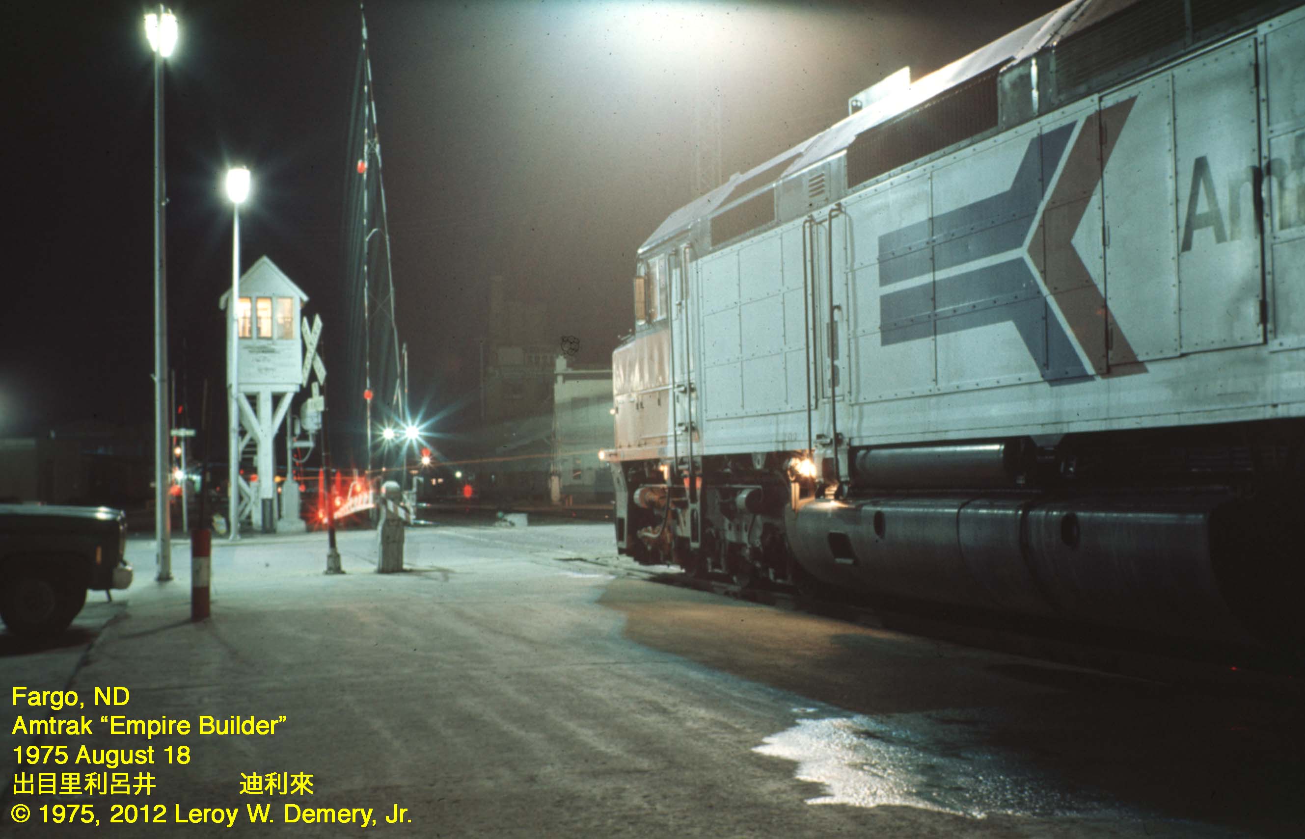
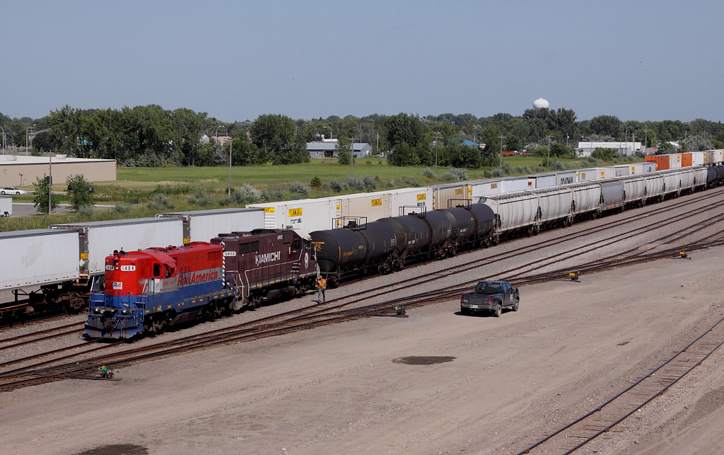
Westbound "Empire Builder" - 2, Fargo, ND, 1975

Prairie Dog
From Above

365-086

View from above
20130429-NRCS-LSC-0349

20130429-NRCS-LSC-0354
20130429-NRCS-LSC-0345

Southwest View

365-050

P-51 Mustang at the Air Museum
20130429-NRCS-LSC-0343
Last Shot of the OTVR
Safe From a Distance

Island Park gazebo, autumn (Fargo, North Dakota)

calm winters day at the library

Then and now

365-119

DSC_8652 (Copy)

365-116

Island Park Gazebo, winter (Fargo, North Dakota)

In a cold winter cemetery

Lindenwood rays

Raphanus sativus
13-IMG_6553
01-IMG_6398

Remaining Tall after the storms pass.

Memories of A Past Morning
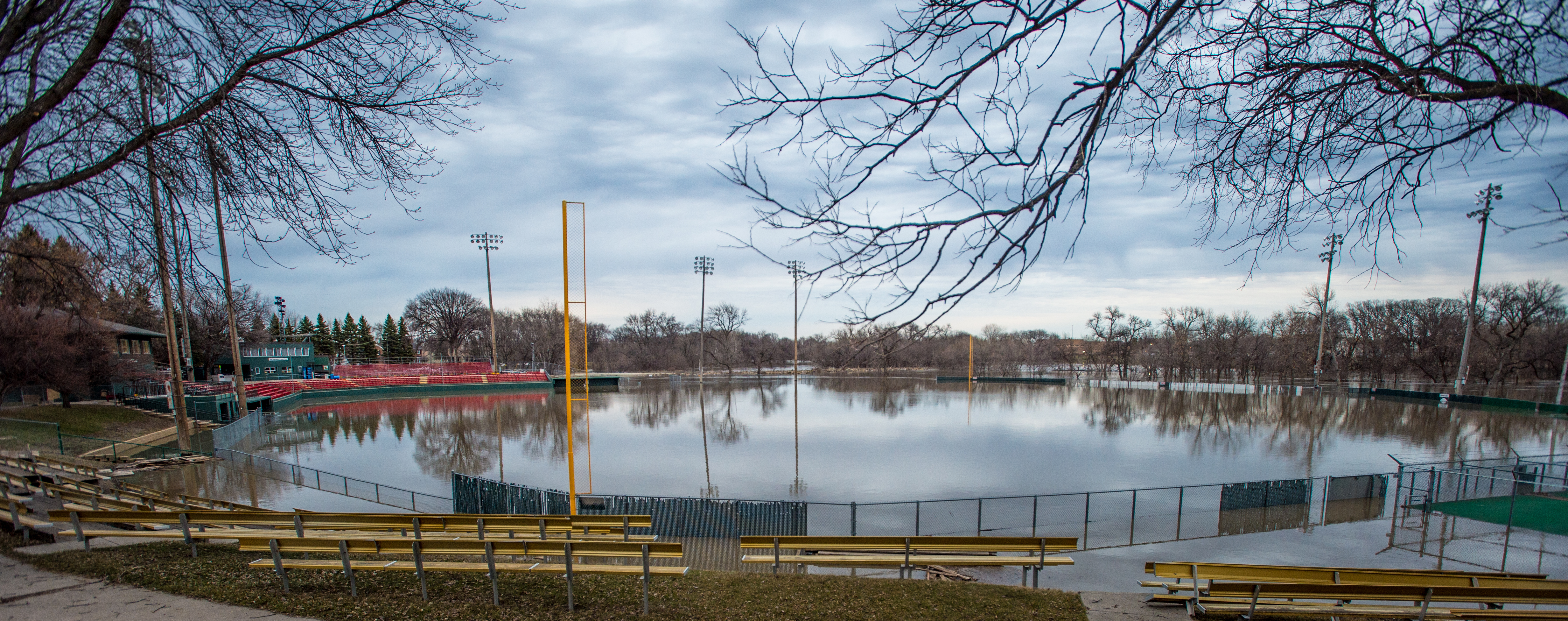
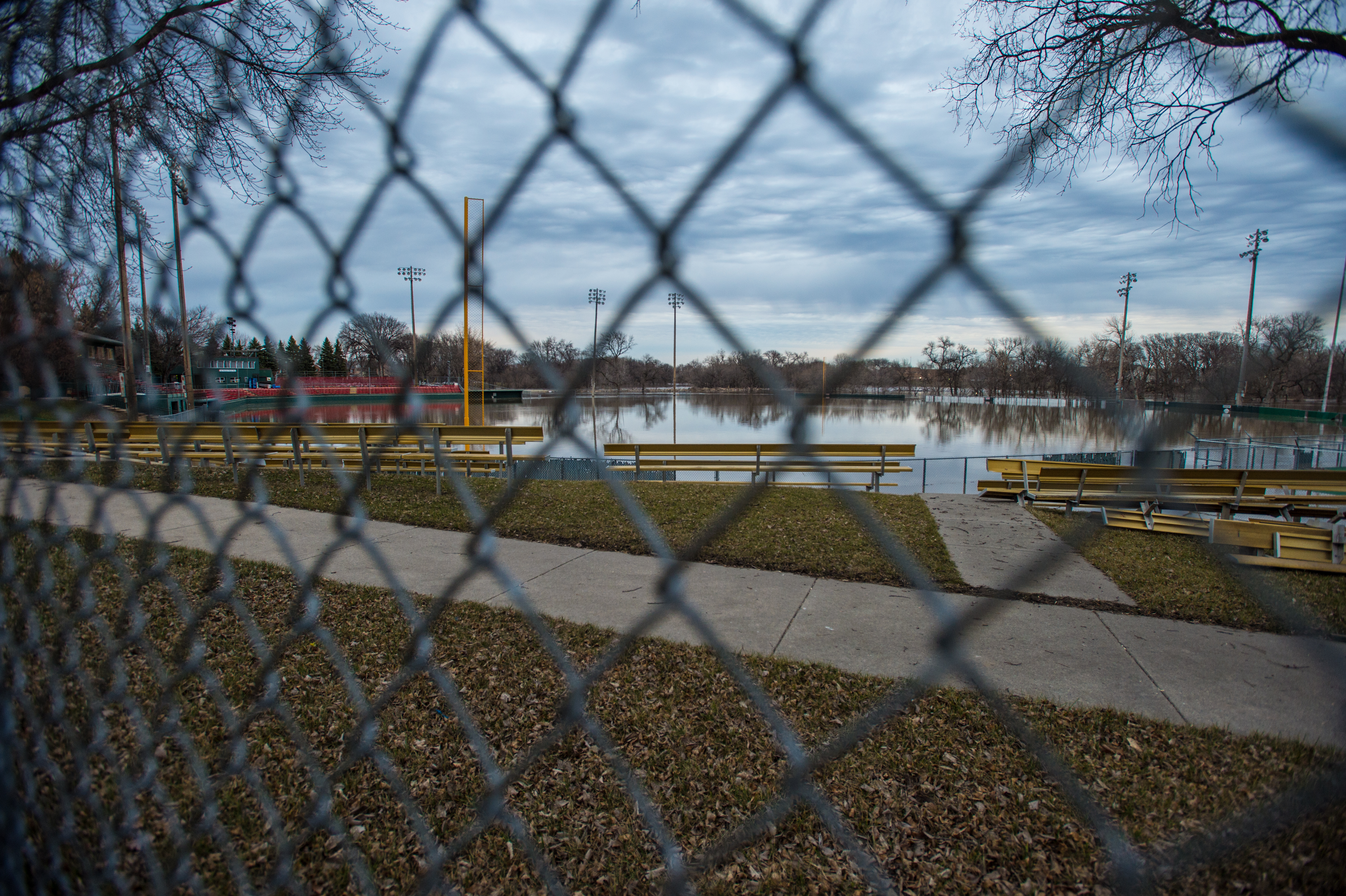
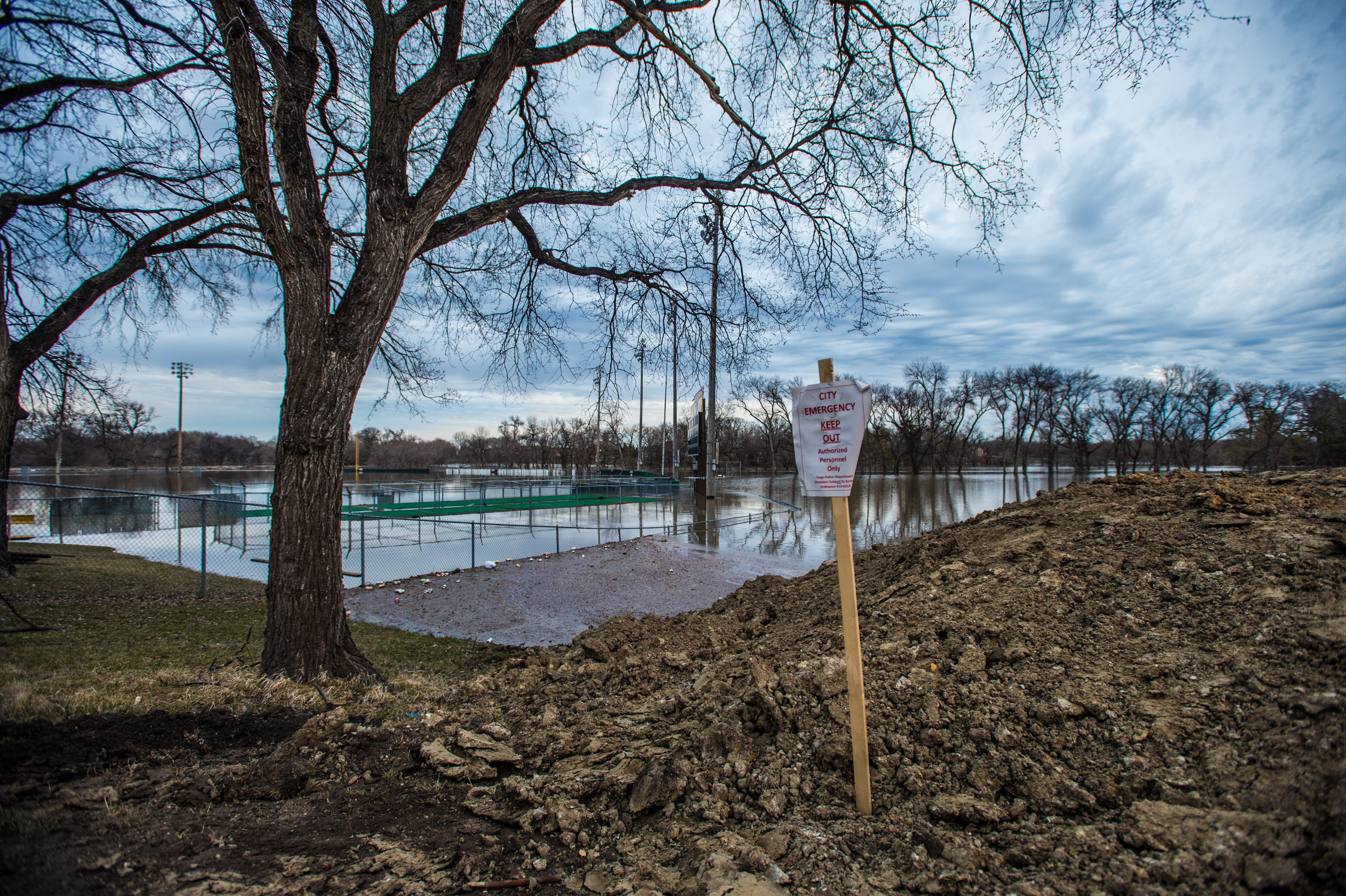
Fargo flood panorama, April 6, 2006--Main Ave bridge

Red River of the North

It's complicated
05-IMG_6434
lindenwood park small

Island Park | P7049494-1-2

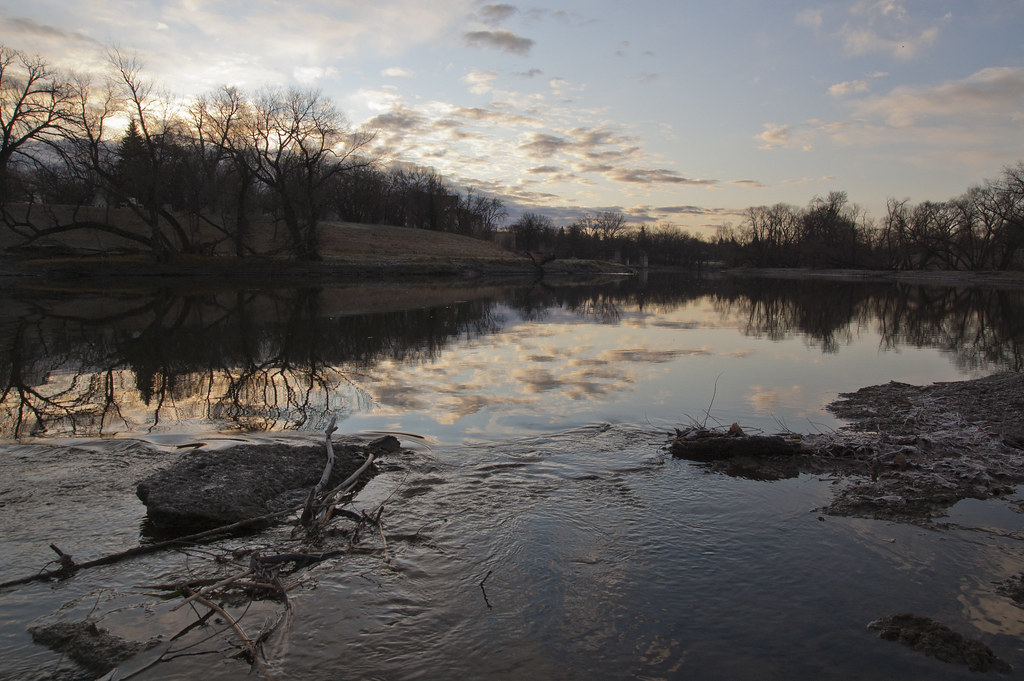
Red River at Main Avenue

Strake Vortices
Red River sunrise
Iron Spirits exhibit
Doubling the Dike 10
Topographic Map of Main Ave W, West Fargo, ND, USA
Find elevation by address:

Places near Main Ave W, West Fargo, ND, USA:
Barnes
355 7th St Nw
650 2nd Ave Nw
295 6th St Nw
365 6th St Nw
638 5th St Ct Nw
1st St, West Fargo, ND, USA
West Fargo
Bluestem Drive
3806 3rd St E
1005 45th St S
3820 7th St E
Village West
Mapleton
2840 Calico Dr S
2840 Calico Dr S
415 38th St S
7329 61st Ave Sw
Anderson Park
34th Street South & Westrac Drive
Recent Searches:
- Elevation of 24 Oakland Rd #, Scotland, ON N0E 1R0, Canada
- Elevation of Deep Gap Farm Rd E, Mill Spring, NC, USA
- Elevation of Dog Leg Dr, Minden, NV, USA
- Elevation of Dog Leg Dr, Minden, NV, USA
- Elevation of Kambingan Sa Pansol Atbp., Purok 7 Pansol, Candaba, Pampanga, Philippines
- Elevation of Pinewood Dr, New Bern, NC, USA
- Elevation of Mountain View, CA, USA
- Elevation of Foligno, Province of Perugia, Italy
- Elevation of Blauwestad, Netherlands
- Elevation of Bella Terra Blvd, Estero, FL, USA