Elevation of Raven, VA, USA
Location: United States > Virginia > Tazewell County > Northwestern >
Longitude: -81.855119
Latitude: 37.0870571
Elevation: 584m / 1916feet
Barometric Pressure: 94KPa
Elevation Map:
Satellite Map:
Related Photos:

Brought to You By The Letter 'S'
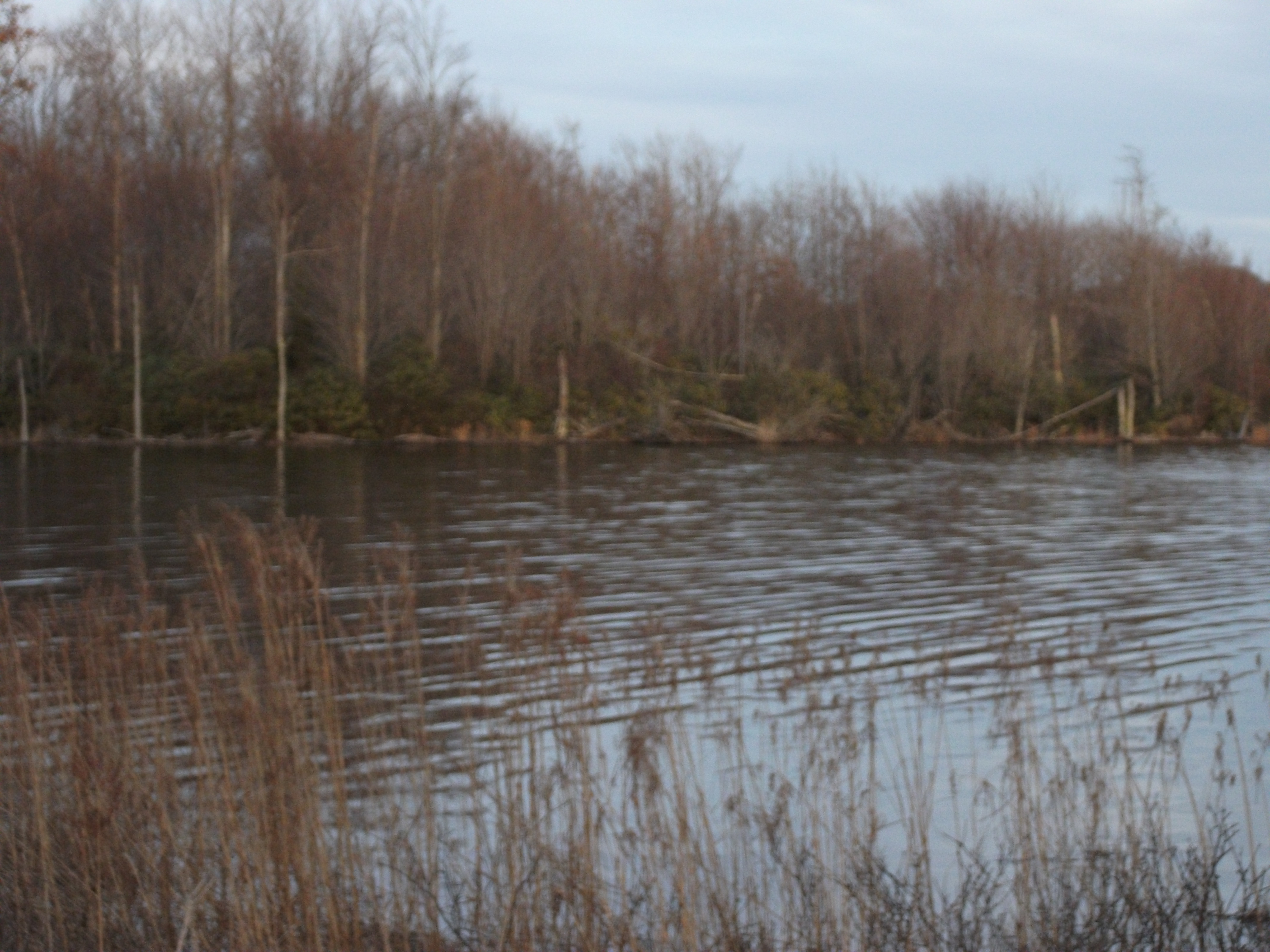
Laurel Bed Lake
Virginia Creeper, VA
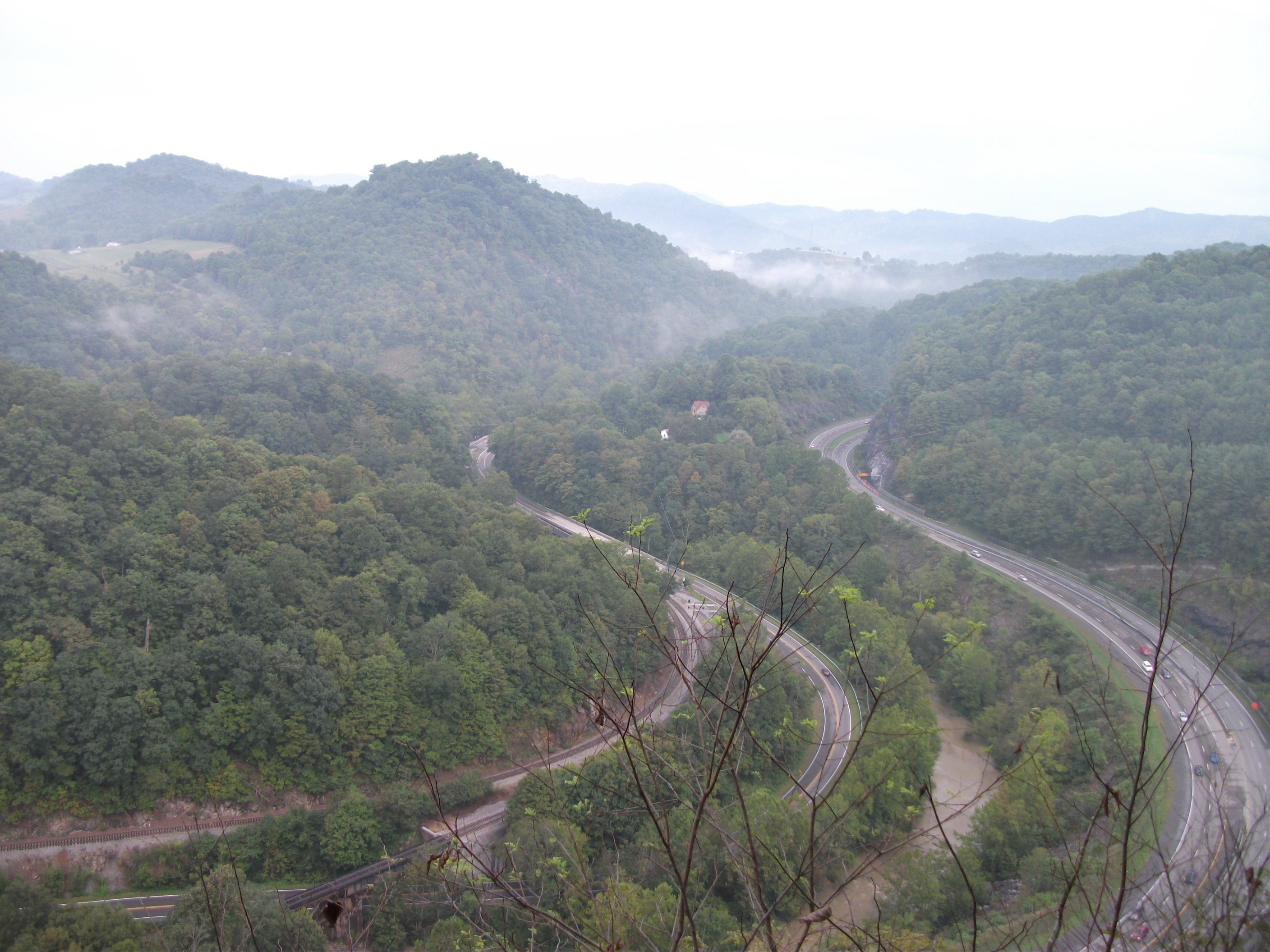
THE COVE
THE COVE
THE COVE
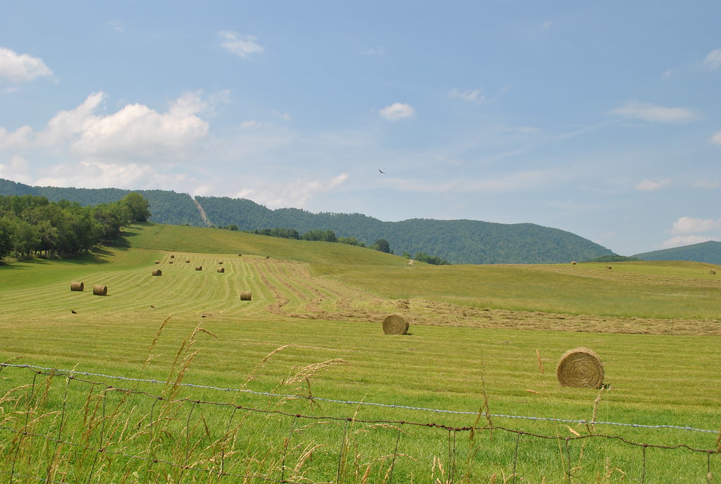
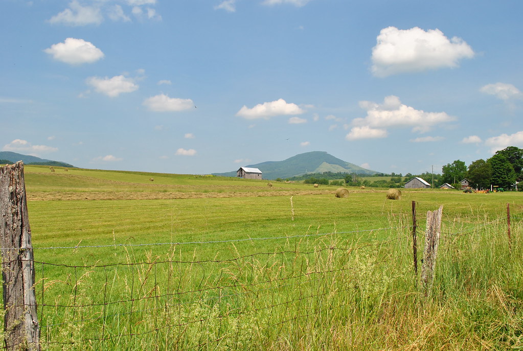
Cedar Bluff Overlook

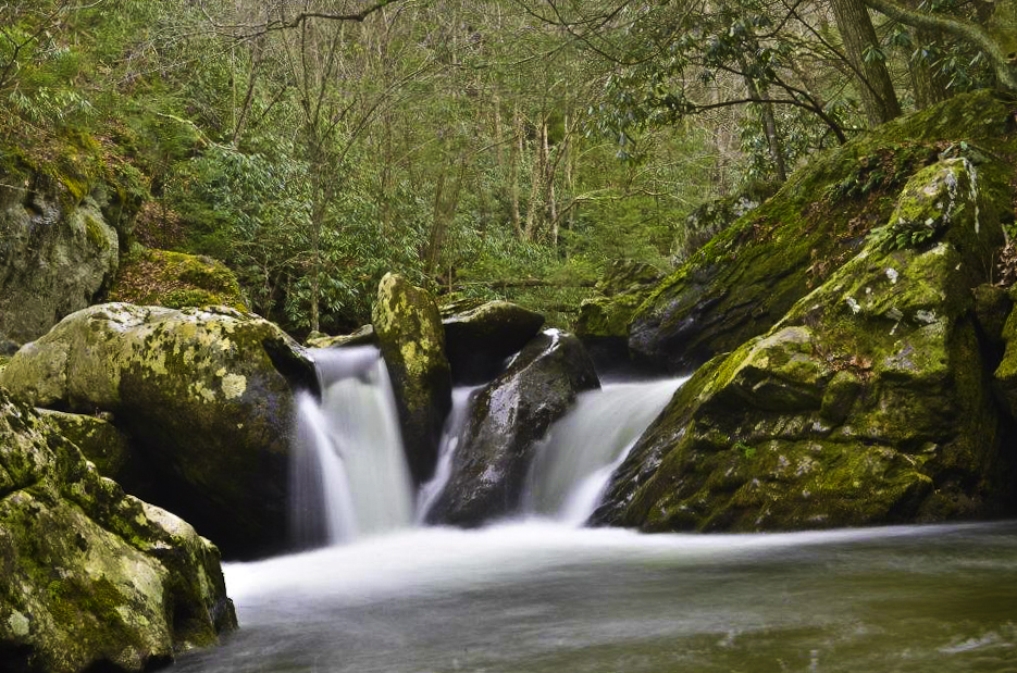
Laurel Bed Lake dam

RICHLANDS HIGH SCHOOL
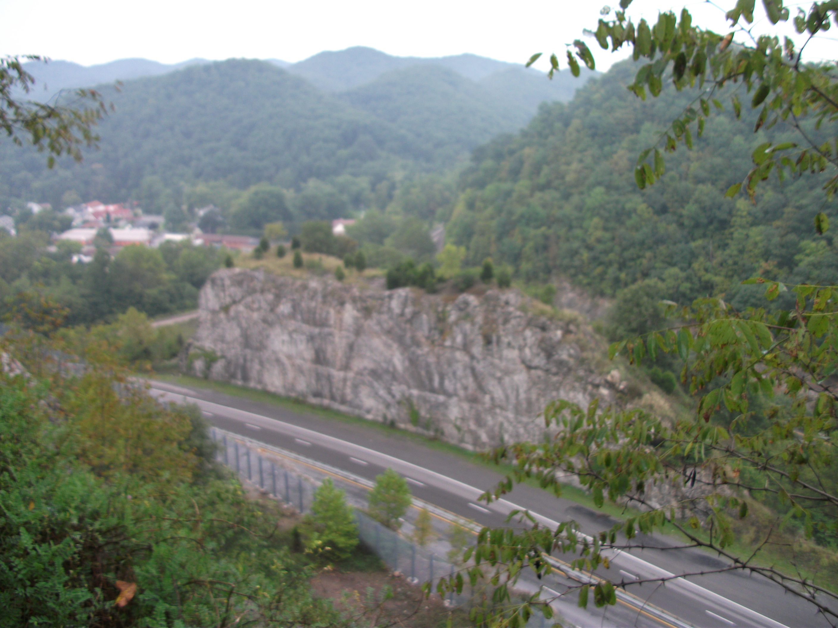
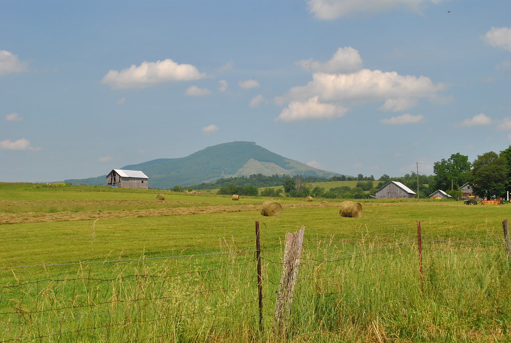
Cedar Bluff Overlook
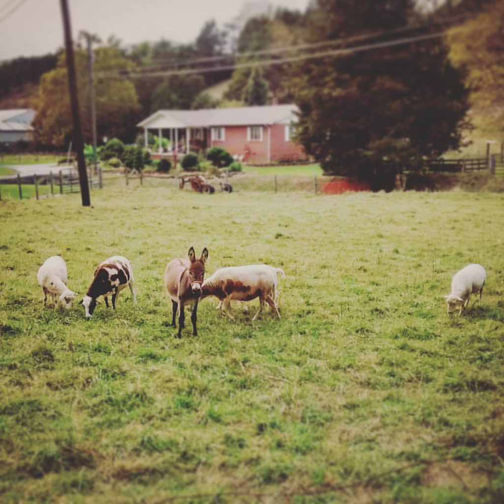
My job neighbors. #swva #appalachia #virginia #rurallife #farmanimals #sheep #donkey #tazewellcounty #baaa #autumn #october #cute
Topographic Map of Raven, VA, USA
Find elevation by address:

Places in Raven, VA, USA:
Places near Raven, VA, USA:
K And L Inc
Westmont Rd, Raven, VA, USA
541 Plantation Dr
Elkins Branch Road
Swords Creek, VA, USA
Country Farms Road
510 North St
Cedar Bluff, VA, USA
224 Old Kentucky Turnpike
224 Old Kentucky Turnpike
359 Music Fest Rd
Parkway St, Cedar Bluff, VA, USA
Cedar Bluff
Western
196 Goodwin Dr
Governor George C Peery Hwy, Pounding Mill, VA, USA
Claypool Hill
4463 Mountain Rd
State Route 738 & Pleasant Valley Road
1869 Midway Rd
Recent Searches:
- Elevation of Sattva Horizon, 4JC6+G9P, Vinayak Nagar, Kattigenahalli, Bengaluru, Karnataka, India
- Elevation of Great Brook Sports, Gold Star Hwy, Groton, CT, USA
- Elevation of 10 Mountain Laurels Dr, Nashua, NH, USA
- Elevation of 16 Gilboa Ln, Nashua, NH, USA
- Elevation of Laurel Rd, Townsend, TN, USA
- Elevation of 3 Nestling Wood Dr, Long Valley, NJ, USA
- Elevation of Ilungu, Tanzania
- Elevation of Yellow Springs Road, Yellow Springs Rd, Chester Springs, PA, USA
- Elevation of Rēzekne Municipality, Latvia
- Elevation of Plikpūrmaļi, Vērēmi Parish, Rēzekne Municipality, LV-, Latvia