Elevation of K and L Inc, State Rd #A, Raven, VA, USA
Location: United States > Virginia > Tazewell County > Northwestern > Raven >
Longitude: -81.86093
Latitude: 37.0875799
Elevation: 617m / 2024feet
Barometric Pressure: 94KPa
Elevation Map:
Satellite Map:
Related Photos:

Whitewood VA Drone

Brought to You By The Letter 'S'

Laurel Bed Lake

Laurel Bed Lake dam

Cedar Bluff Overlook

Cedar Bluff Overlook

Virginia Creeper, VA

RICHLANDS HIGH SCHOOL

NS 7662 East

NS 7662 East

NS 7662 East
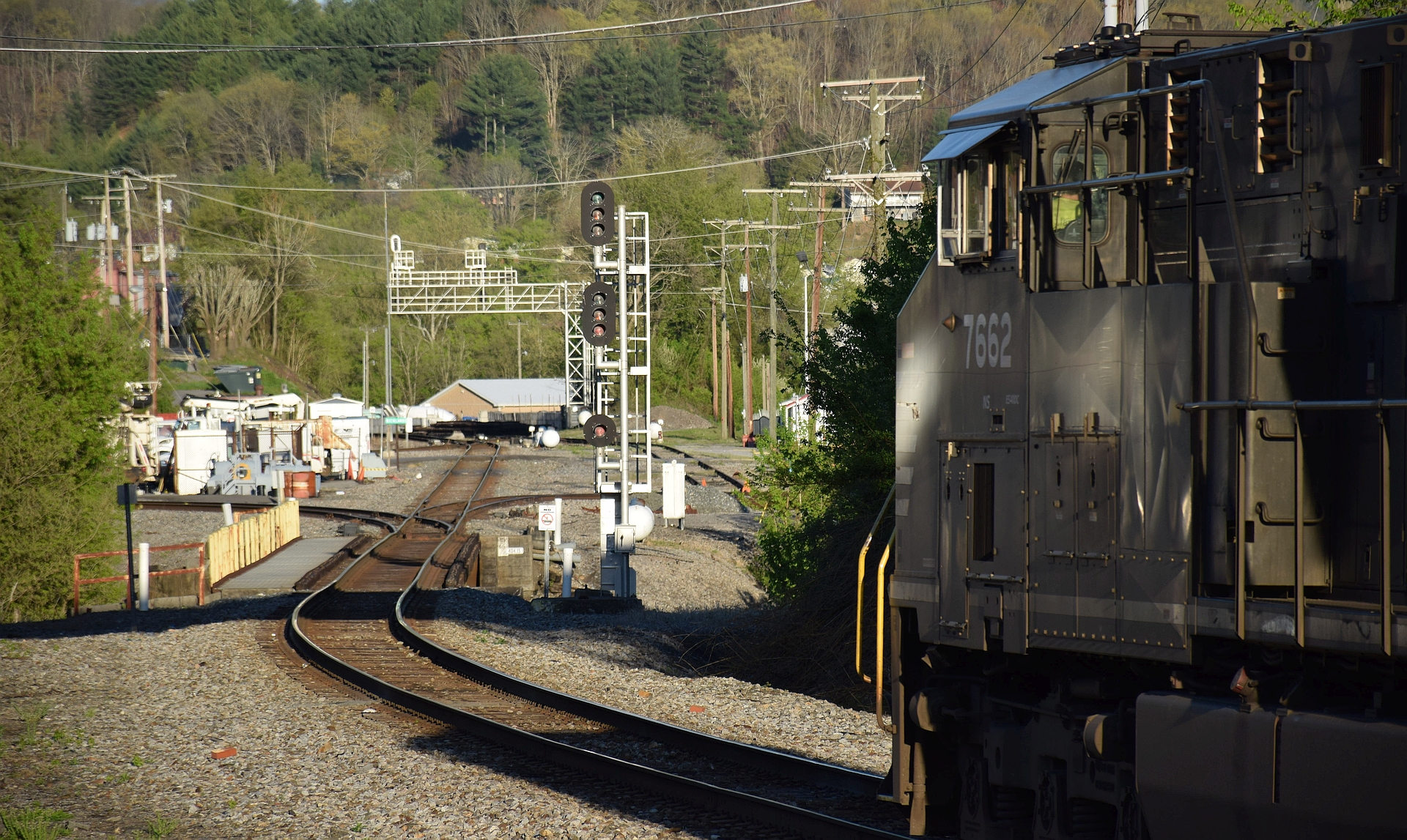
NS 7662 East
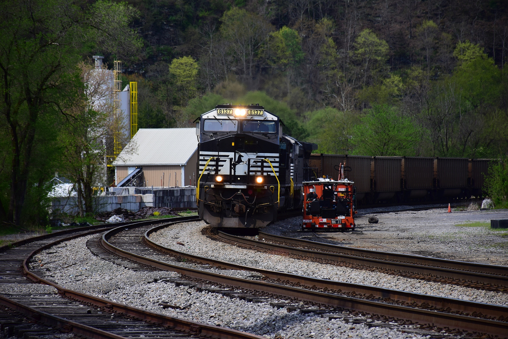
NS 8137 East

NS 8137 East

Buchanan Co., VA

Southern 4501 at Crossing
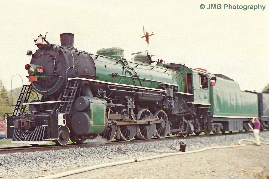
Southern 4501

Richlands VA Selective Color

Norfolk & Western 239 - 521220

Norfolk & Western 239 - 521220

Norfolk & Western 239 - 521220

Norfolk & Western 515153 MW

Norfolk & Western 515153 MW

Norfolk & Western 515153 MW

Richlands, Virginia

NS 9819 + 9578 West

NS 9623 + NS 4000 + NS 8021 East

NS 9623 + NS 4000 + NS 8021 East
Topographic Map of K and L Inc, State Rd #A, Raven, VA, USA
Find elevation by address:

Places near K and L Inc, State Rd #A, Raven, VA, USA:
Westmont Rd, Raven, VA, USA
Raven
Elkins Branch Road
541 Plantation Dr
Swords Creek, VA, USA
Country Farms Road
510 North St
Cedar Bluff, VA, USA
359 Music Fest Rd
224 Old Kentucky Turnpike
224 Old Kentucky Turnpike
Parkway St, Cedar Bluff, VA, USA
Cedar Bluff
Western
196 Goodwin Dr
4463 Mountain Rd
Governor George C Peery Hwy, Pounding Mill, VA, USA
Claypool Hill
State Route 738 & Pleasant Valley Road
1869 Midway Rd
Recent Searches:
- Elevation of W Granada St, Tampa, FL, USA
- Elevation of Pykes Down, Ivybridge PL21 0BY, UK
- Elevation of Jalan Senandin, Lutong, Miri, Sarawak, Malaysia
- Elevation of Bilohirs'k
- Elevation of 30 Oak Lawn Dr, Barkhamsted, CT, USA
- Elevation of Luther Road, Luther Rd, Auburn, CA, USA
- Elevation of Unnamed Road, Respublika Severnaya Osetiya — Alaniya, Russia
- Elevation of Verkhny Fiagdon, North Ossetia–Alania Republic, Russia
- Elevation of F. Viola Hiway, San Rafael, Bulacan, Philippines
- Elevation of Herbage Dr, Gulfport, MS, USA