Elevation of Ranch Drive, Ranch Dr, California, USA
Location: United States > California > Santa Clara County > Milpitas >
Longitude: -121.92209
Latitude: 37.4326625
Elevation: 4m / 13feet
Barometric Pressure: 101KPa
Elevation Map:
Satellite Map:
Related Photos:
An expresso and a cognac please!
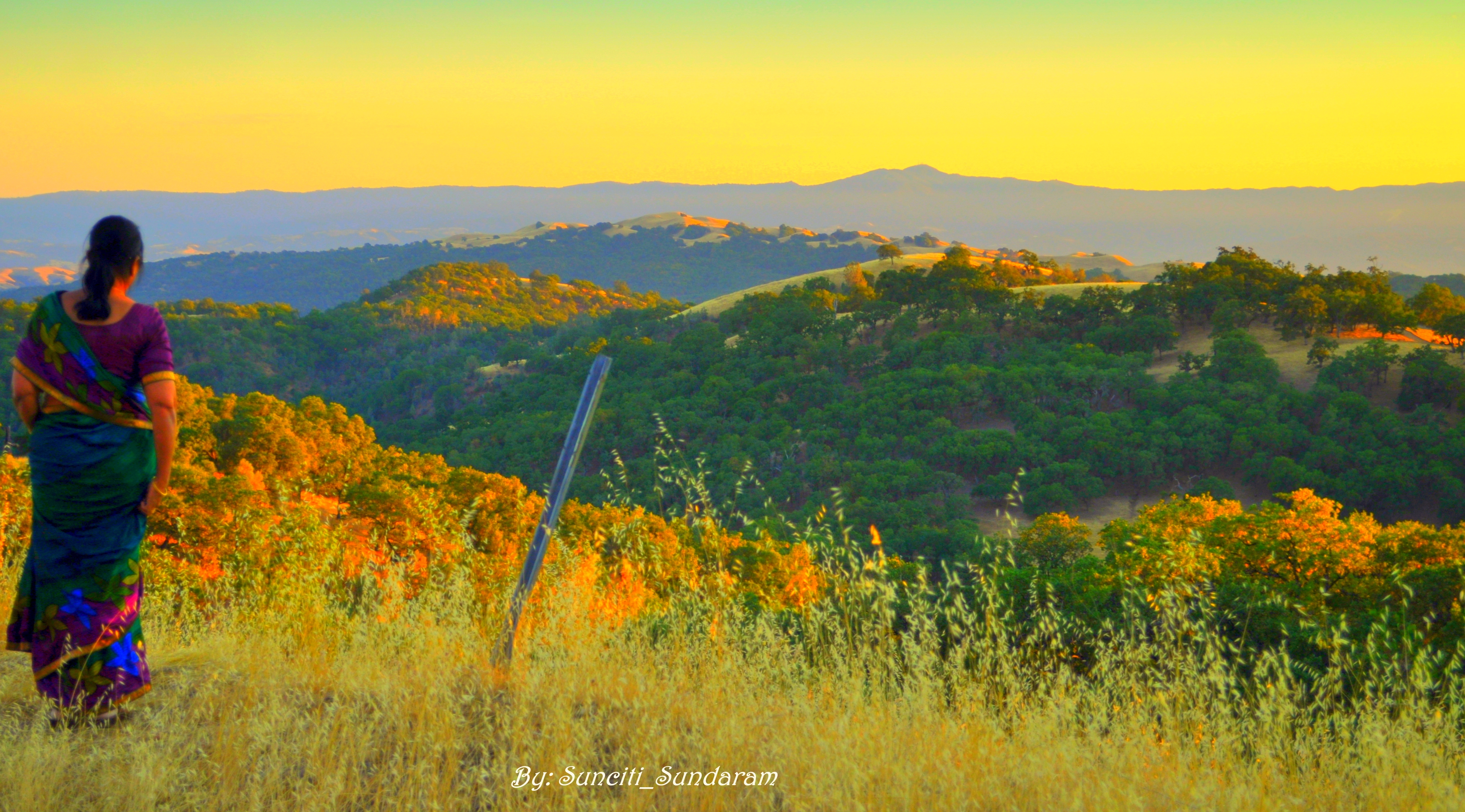
Panoramic View From A Perfect View Point...

IMG_1380 Let Me Feed You, Honey.

IMG_3580 Black-Crowned Night Heron

IMG_5922 Forster's Tern Hovering, Mountain View Shoreline Park, California
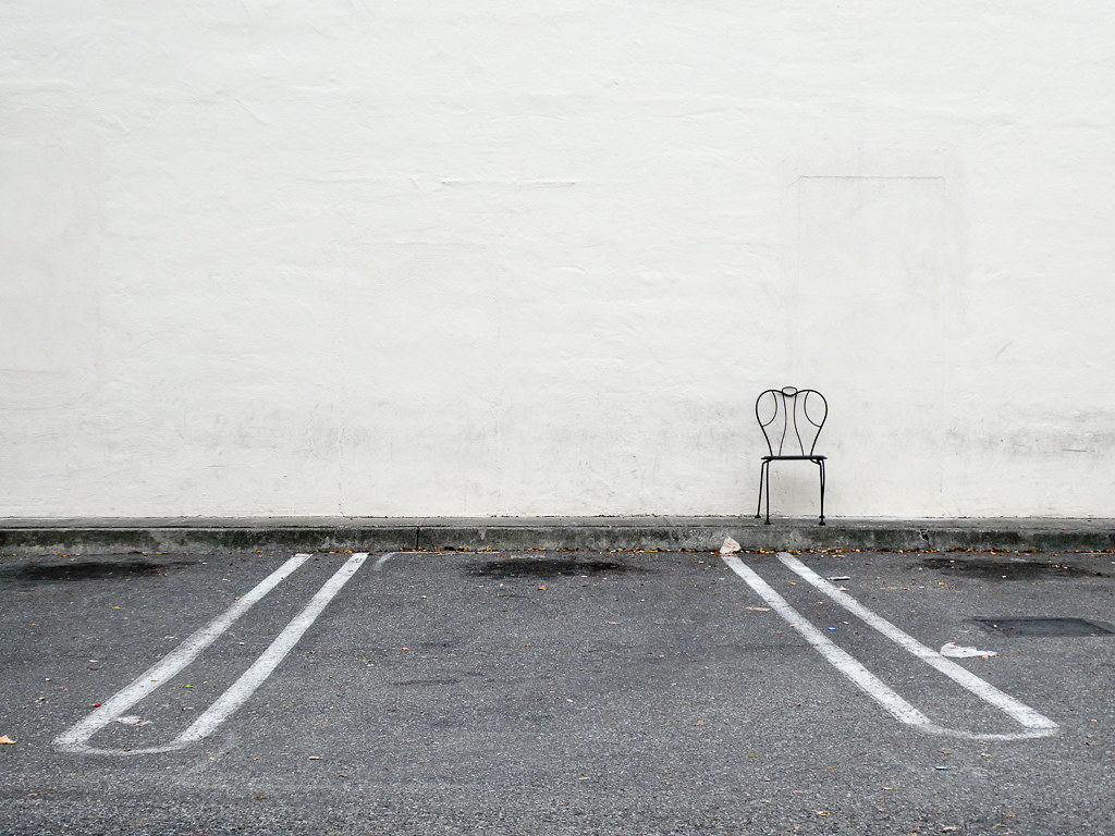
Lone Chair

IMG_0173 Here I Come! Mountain View Shoreline Park, CA

The Shire 1.0

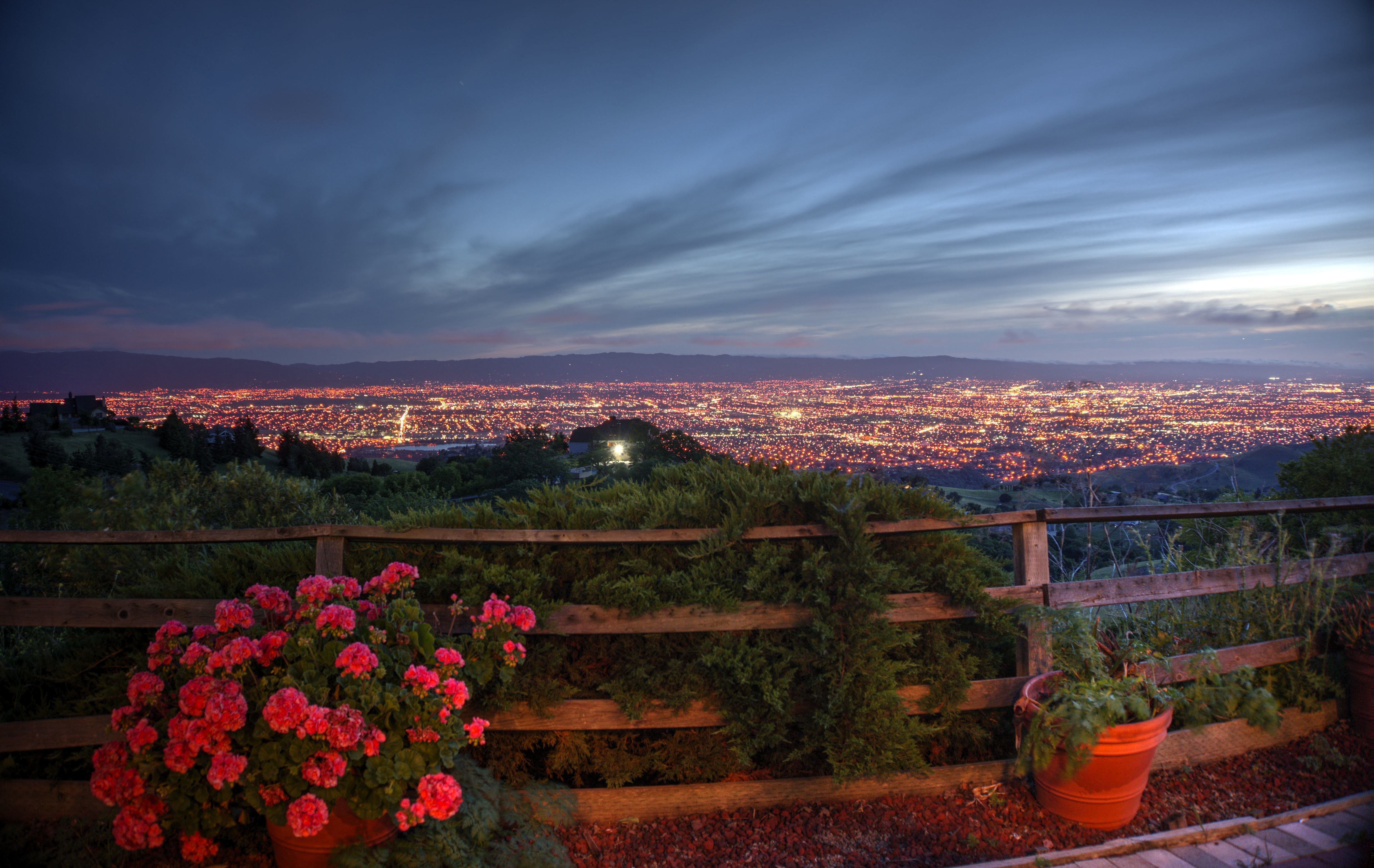
Night falls over the Silicon Valley

Barn Swallow (immature)

Marbled Godwit
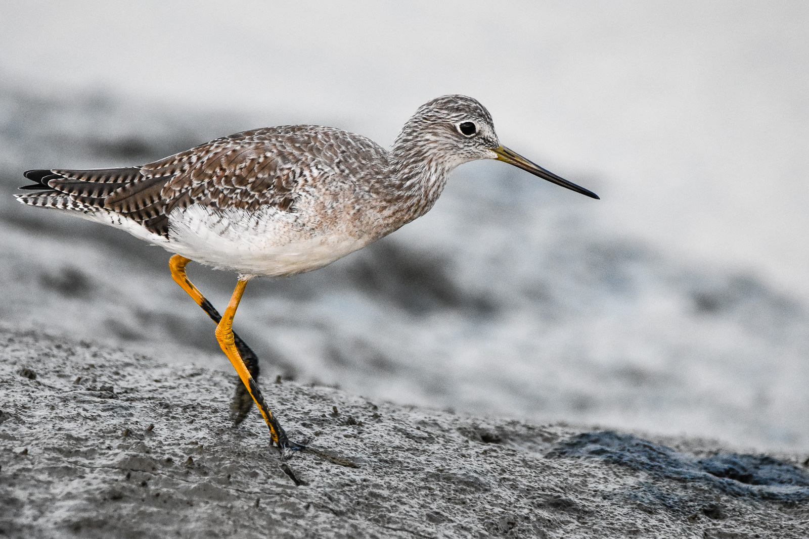
Greater Yellowlegs
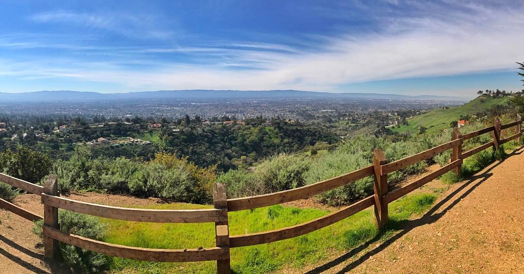
View from Maguire Peaks

Geese (HSS)

Inching Along

Color On Weathered Grey
Long Walks on Short Piers
Perfect view?

Wire Hooks
Shadow Bike
Fish On

Door of opportunities :)

Stop. Look. Enjoy.

Calaveras Road
Scattered Showers
Back to the future

mY first HDR
Goodbye blue sky
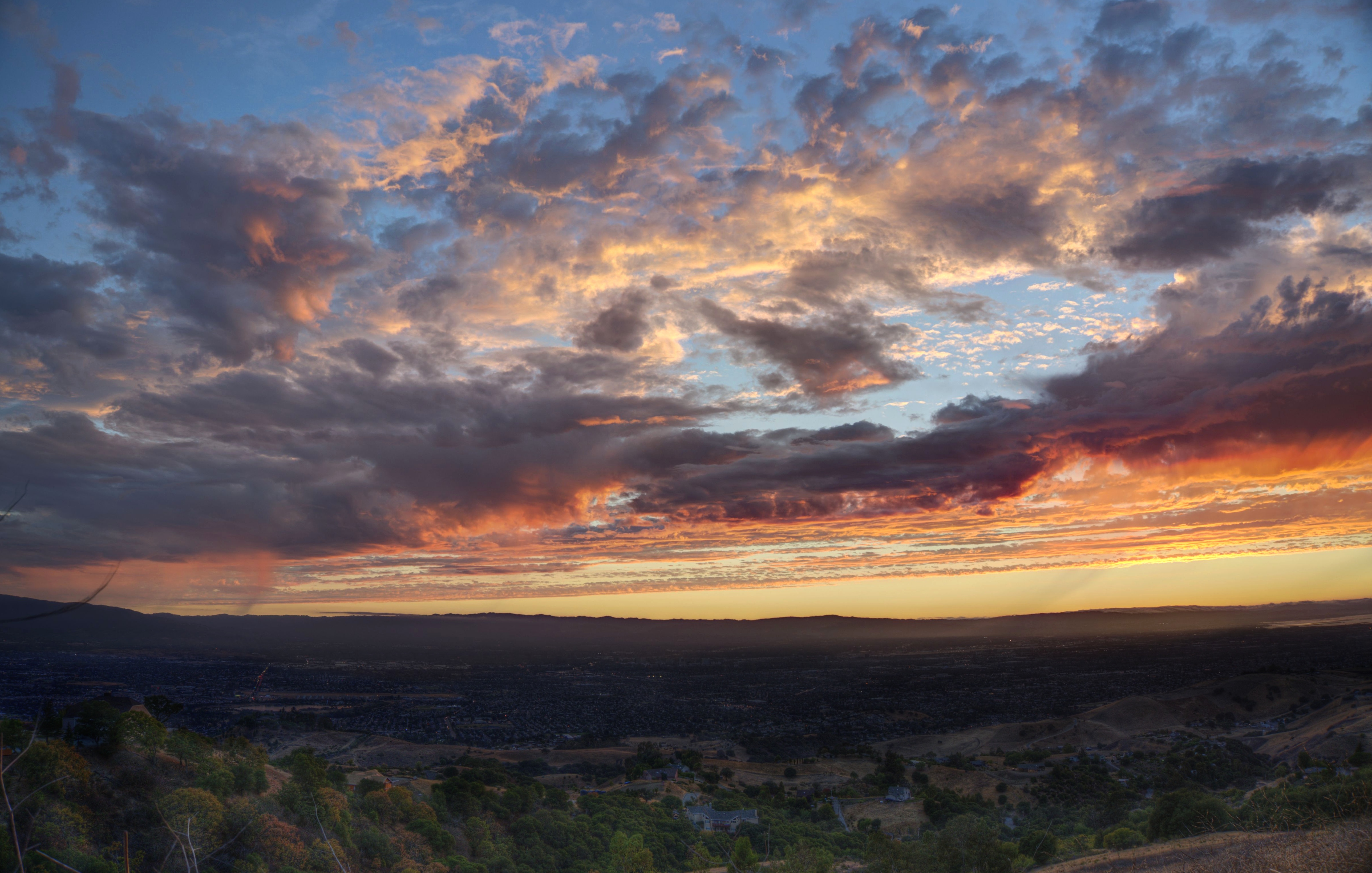
Silicon Valley sky on fire
Don Edwards Preserve, Newark California
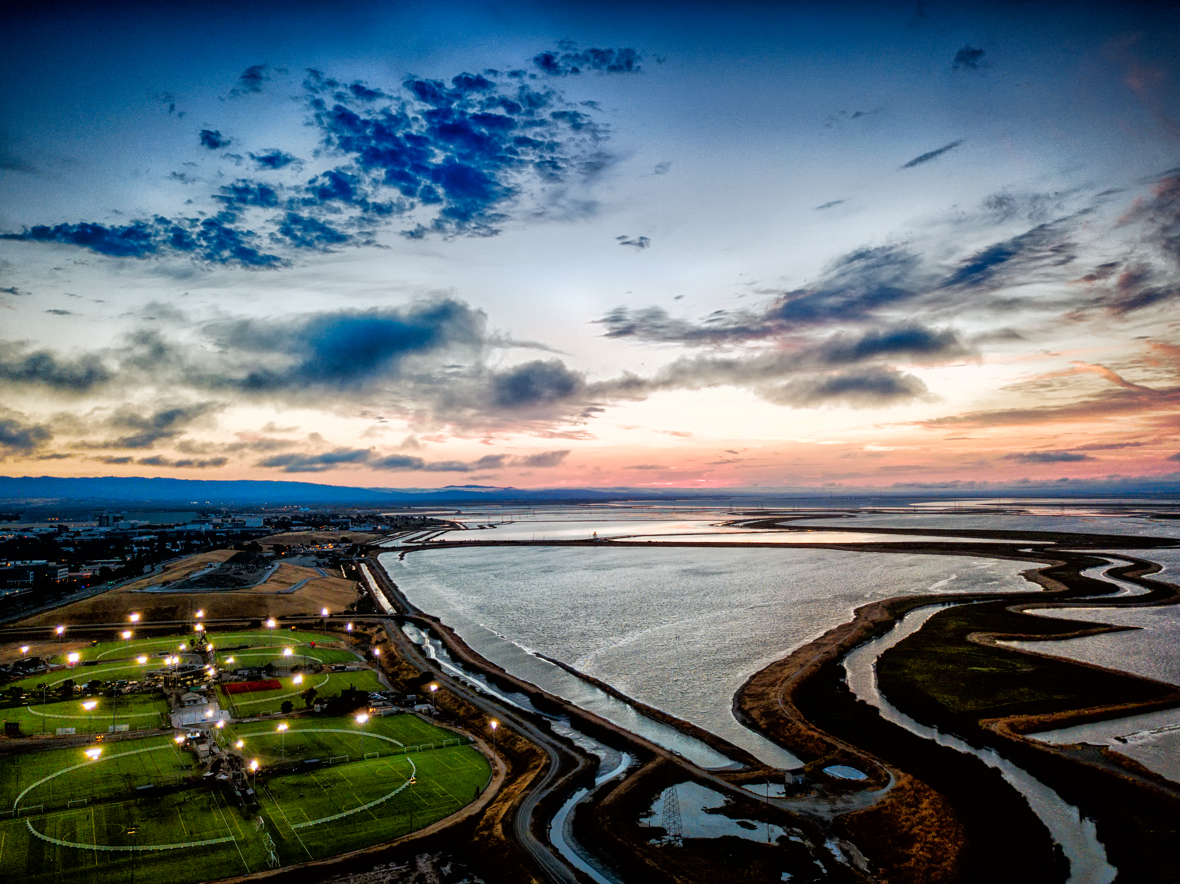
Twin Creeks Sports Complex at dusk

Great Long, Slow Day on the LG Creek Trail. The #408 has the best weather in the Bay Area #TeamRunTheBay #RunLocal #GetOnnit #nikeplus
Finally a nice weather in weekend
Yesterday afternoon stroll.
Sunol Spring Hillside No.01

Shade and reflections

30km run done. So Hungry....

Green Pastors
Those are mountains coming up through cloud cover

Alviso Blue Hour
Topographic Map of Ranch Drive, Ranch Dr, California, USA
Find elevation by address:

Places near Ranch Drive, Ranch Dr, California, USA:
Starbucks
244 Smithwood St
485 Glenmoor Cir
200 Casper St
210 Butler St
969 Mente Linda Loop
540 Alder Dr
Milpitas
240 Summerfield Dr
534 Dundee Ave
Sycamore Drive
1228 Moonlight Way
402 Belshaw Dr
Spindrift Dr, San Jose, CA, USA
355 River Oaks Pkwy
Great Mall Drive
130 Descanso Dr
1456 S Main St
80 Rose Orchard Way
39 Rio Robles E
Recent Searches:
- Elevation of SW 57th Ave, Portland, OR, USA
- Elevation of Crocker Dr, Vacaville, CA, USA
- Elevation of Pu Ngaol Community Meeting Hall, HWHM+3X7, Krong Saen Monourom, Cambodia
- Elevation of Royal Ontario Museum, Queens Park, Toronto, ON M5S 2C6, Canada
- Elevation of Groblershoop, South Africa
- Elevation of Power Generation Enterprises | Industrial Diesel Generators, Oak Ave, Canyon Country, CA, USA
- Elevation of Chesaw Rd, Oroville, WA, USA
- Elevation of N, Mt Pleasant, UT, USA
- Elevation of 6 Rue Jules Ferry, Beausoleil, France
- Elevation of Sattva Horizon, 4JC6+G9P, Vinayak Nagar, Kattigenahalli, Bengaluru, Karnataka, India