Elevation of Milpitas, CA, USA
Location: United States > California > Santa Clara County >
Longitude: -121.89957
Latitude: 37.4323341
Elevation: 7m / 23feet
Barometric Pressure: 101KPa
Elevation Map:
Satellite Map:
Related Photos:

Explosions of Light
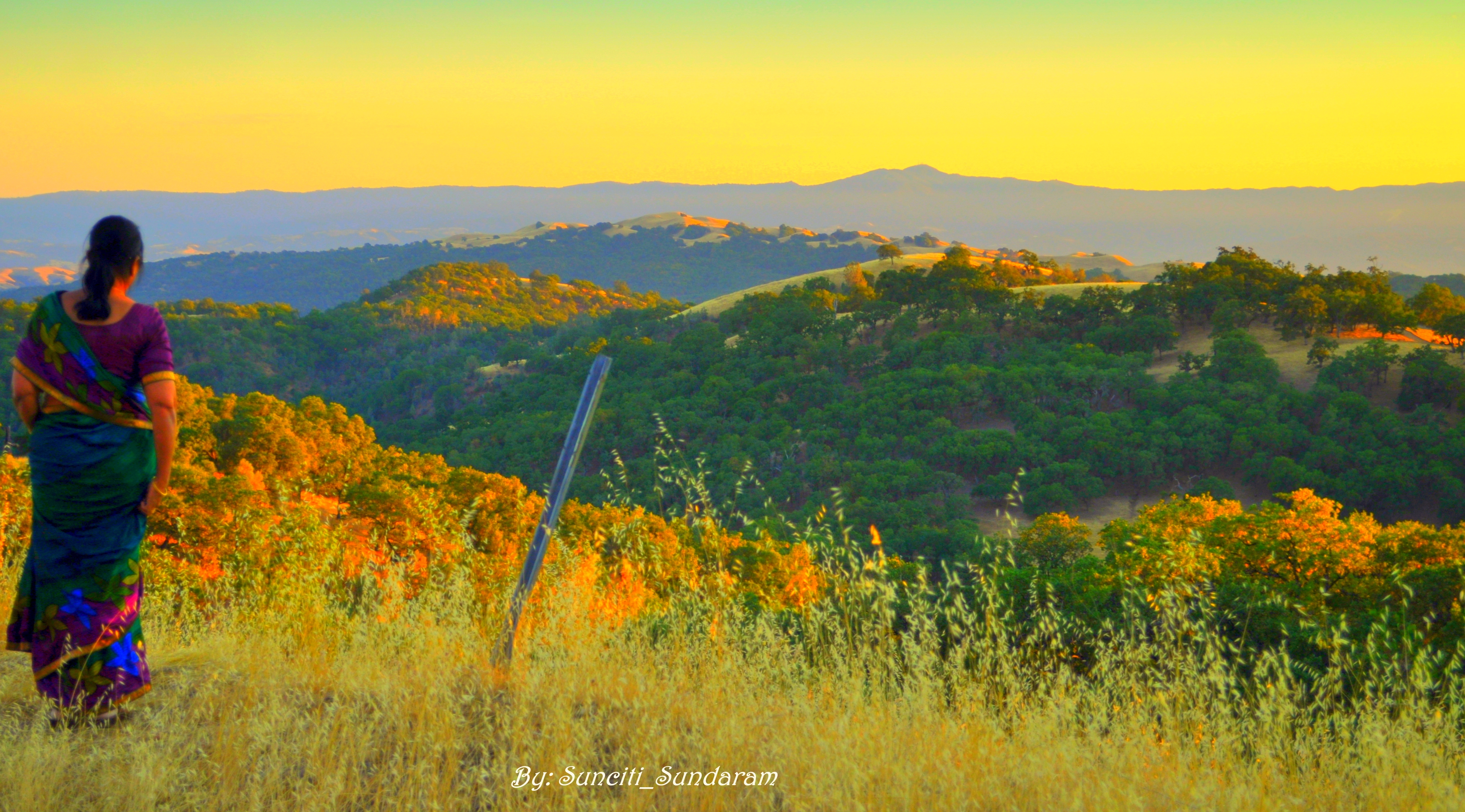
Panoramic View From A Perfect View Point...

Stop. Look. Enjoy.
Is this the world we created...?

The great gig in the sky

An expresso and a cognac please!
He-Who-Must-Not-Be-Named lives in a mansion high above a sea of lava

after the incursion

Air Force One above downtown Sunnyvale, California

Magical Sparkles

mY first HDR

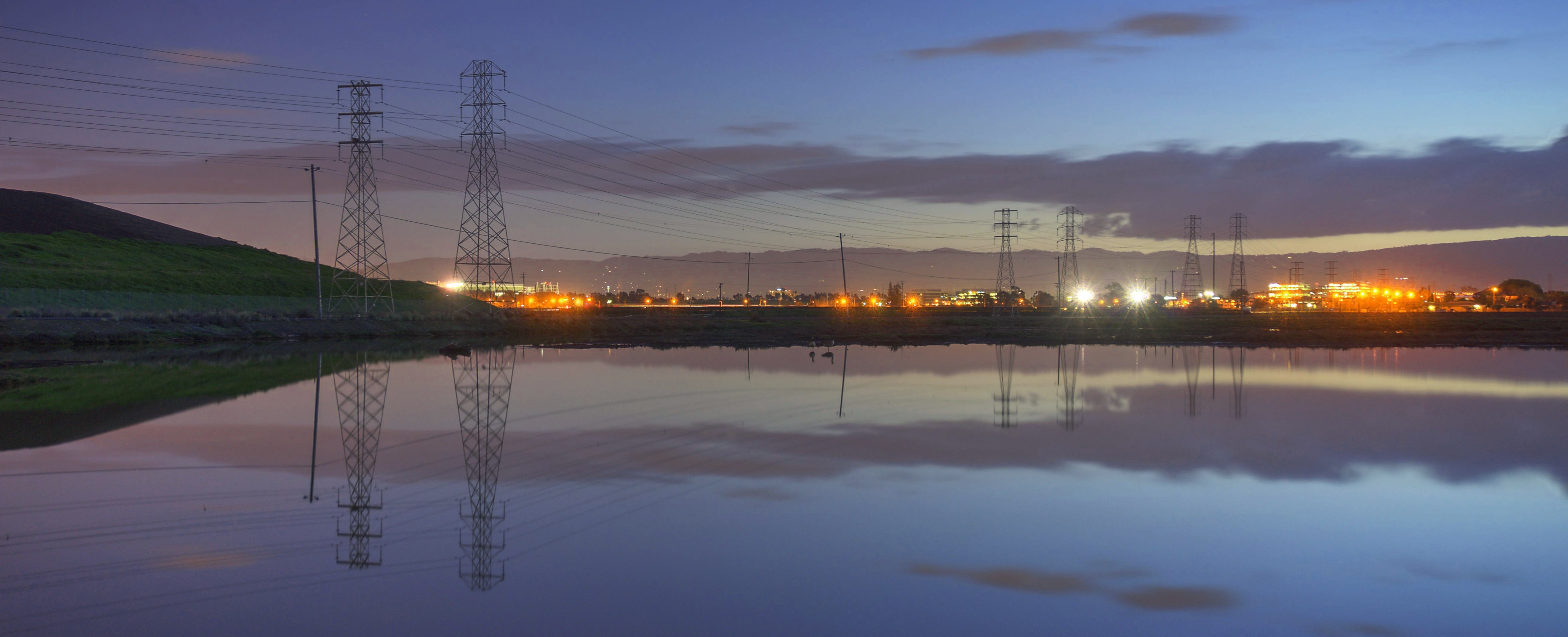
Alviso Blue Hour
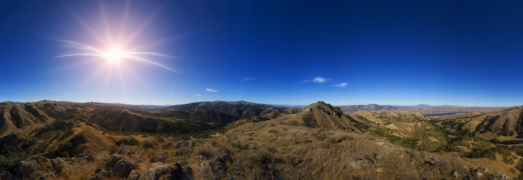
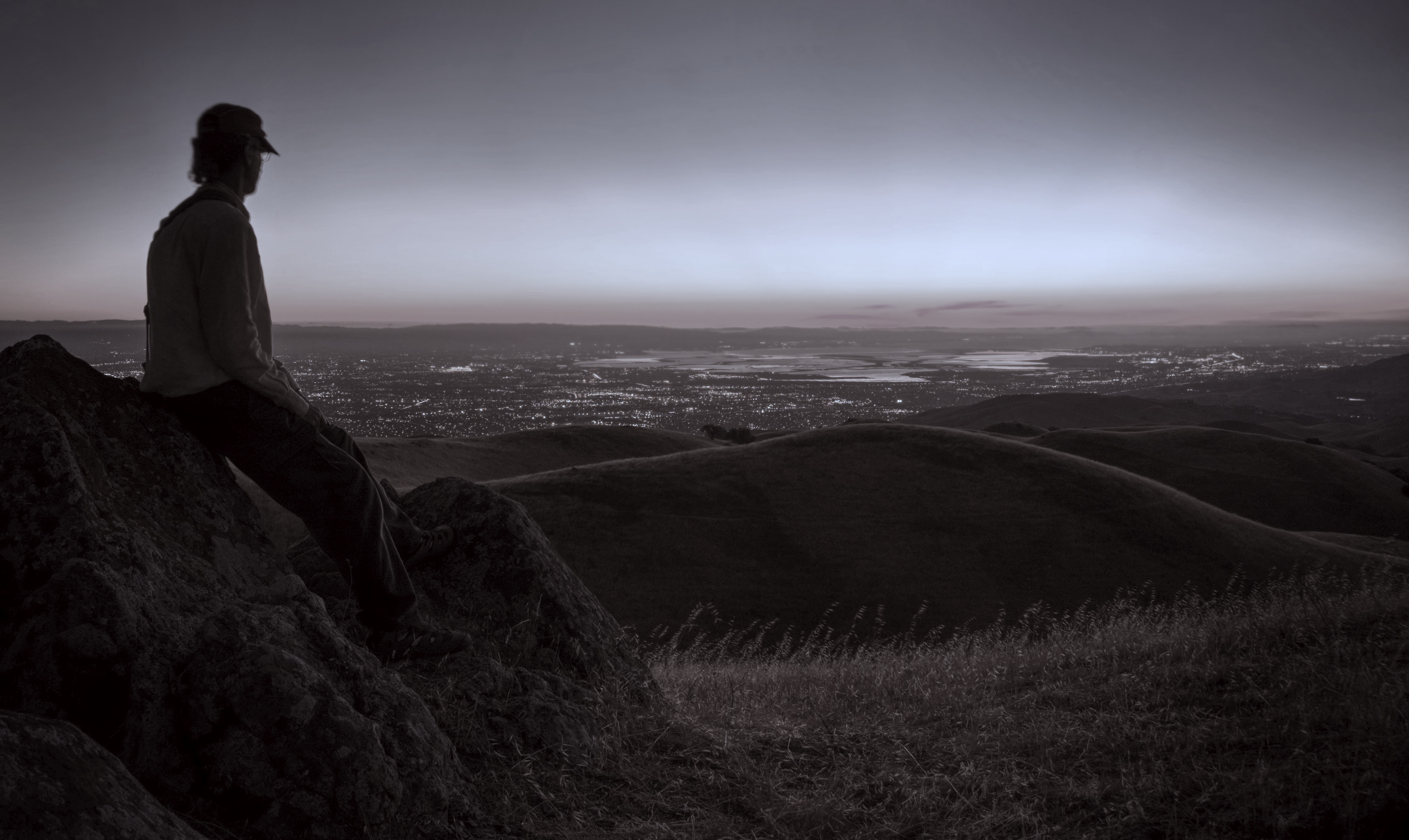
View from Maguire Peaks

Santana Row
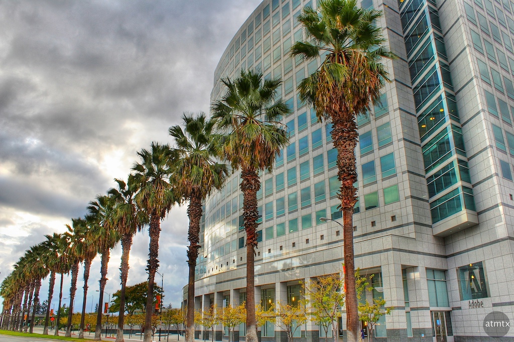
Adobe HQ
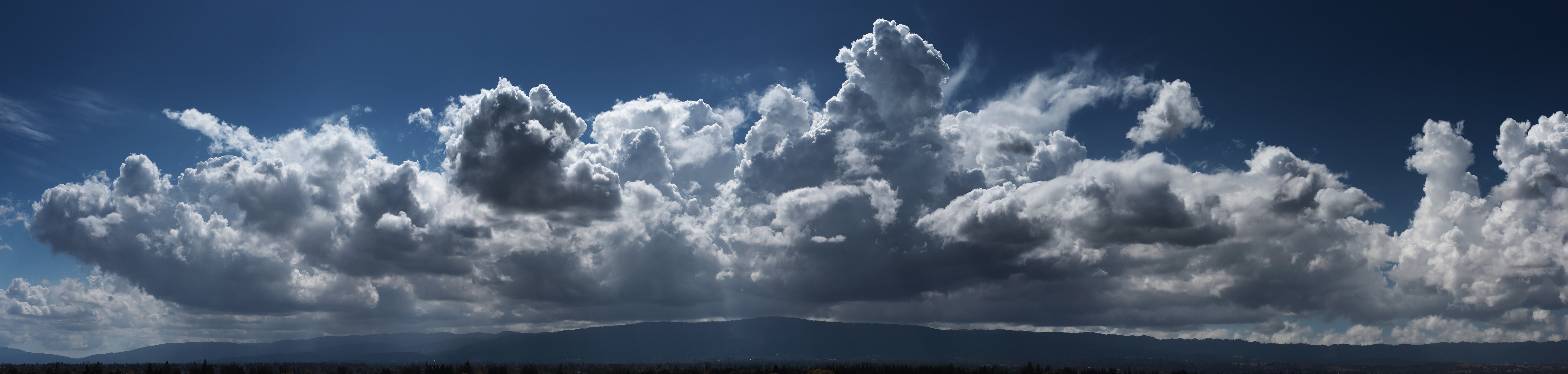
South Bay Clouds
Forget the year

DSC_2919.JPG

GARDEN.JPG

Life is beautiful

Two Two 5

Green Pastors

Calaveras Road
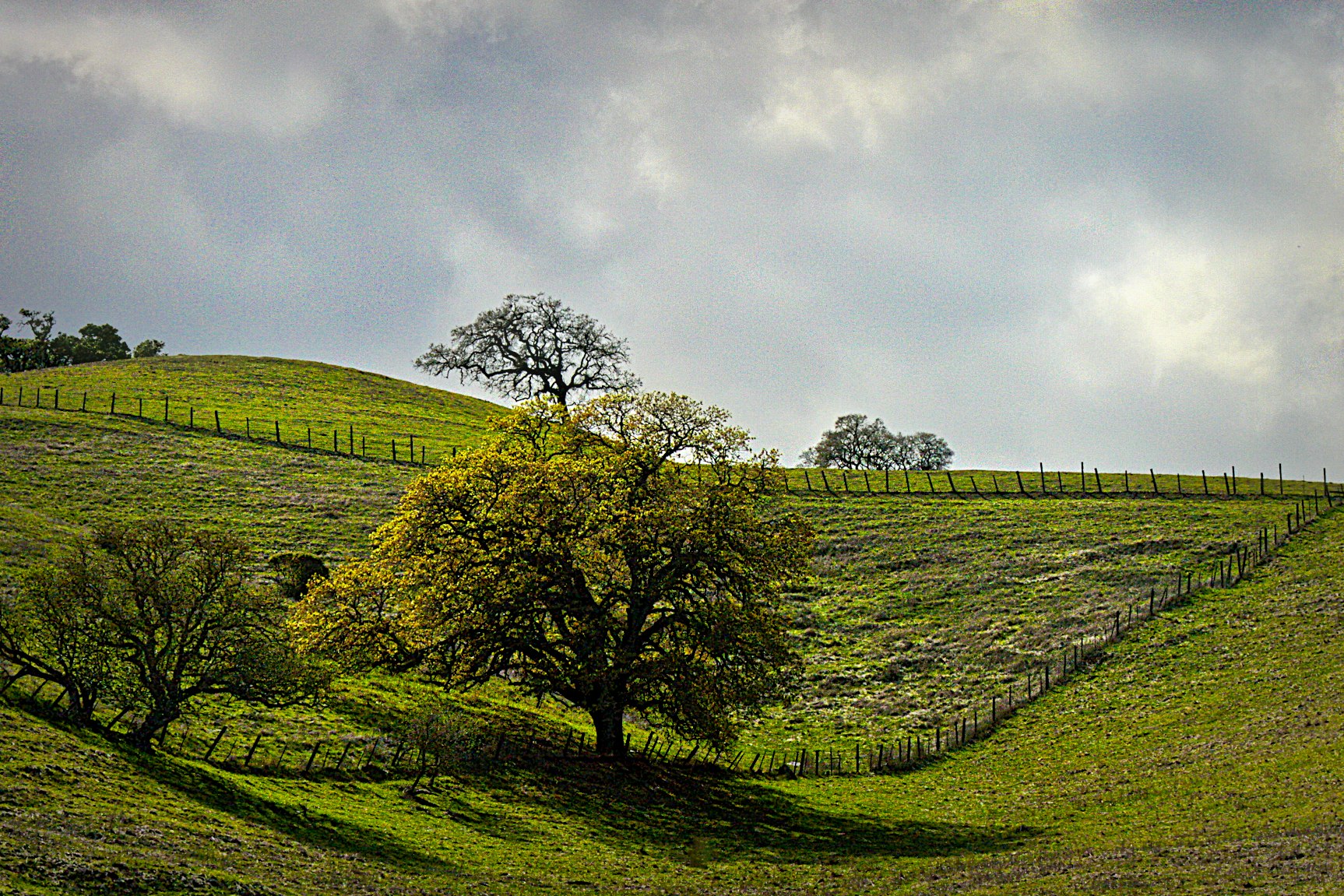
Sunol Spring Hillside No.01
I'm beginning to wonder why I kept passing up this EB park. What a gem! #EBRPD #SunolRegionalWilderness #Sunol

Door of opportunities :)

Scattered Showers

Tree 2
Calaveras Hills
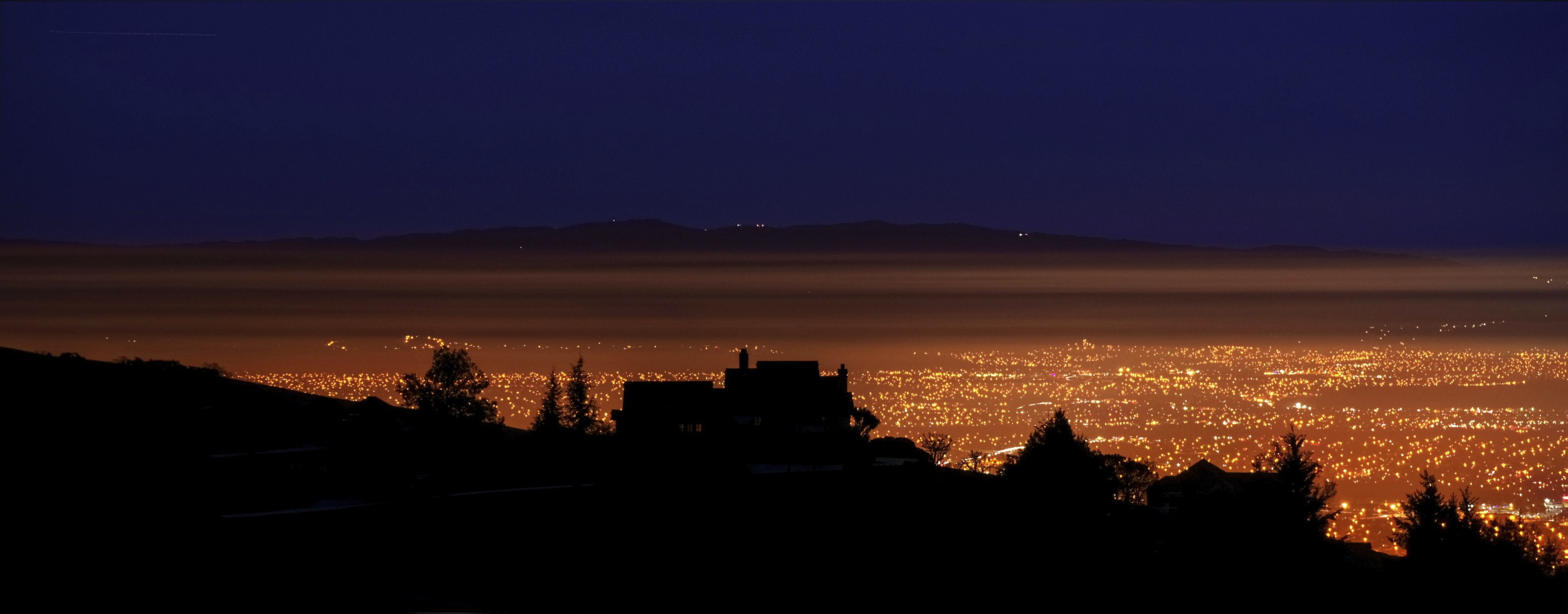
SF Bay
Spotted Hercules on my mud run at Alum Rock. #ToTheTop

There is something about nature that makes me feel happy.

Easy way down
Morning Run by Bay Trail.

~~Alviso Twilight #2~~
The Beamer

The Road

windy Grass
Topographic Map of Milpitas, CA, USA
Find elevation by address:

Places in Milpitas, CA, USA:
Places near Milpitas, CA, USA:
402 Belshaw Dr
534 Dundee Ave
210 Butler St
200 Casper St
969 Mente Linda Loop
244 Smithwood St
1335 Canton Dr
Great Mall Drive
240 Summerfield Dr
485 Glenmoor Cir
Starbucks
Ranch Drive
831 Montague Expy
775 Montague Expy
1456 S Main St
1228 Moonlight Way
540 Alder Dr
1728 Lee Way
1638 Mt Rainier Ave
1577 David Ln
Recent Searches:
- Elevation of Zimmer Trail, Pennsylvania, USA
- Elevation of 87 Kilmartin Ave, Bristol, CT, USA
- Elevation of Honghe National Nature Reserve, QP95+PJP, Tongjiang, Heilongjiang, Jiamusi, Heilongjiang, China
- Elevation of Hercules Dr, Colorado Springs, CO, USA
- Elevation of Szlak pieszy czarny, Poland
- Elevation of Griffing Blvd, Biscayne Park, FL, USA
- Elevation of Kreuzburger Weg 13, Düsseldorf, Germany
- Elevation of Gateway Blvd SE, Canton, OH, USA
- Elevation of East W.T. Harris Boulevard, E W.T. Harris Blvd, Charlotte, NC, USA
- Elevation of West Sugar Creek, Charlotte, NC, USA