Elevation of Glenmoor Cir, Milpitas, CA, USA
Location: United States > California > Santa Clara County > Milpitas >
Longitude: -121.91758
Latitude: 37.4411553
Elevation: 4m / 13feet
Barometric Pressure: 101KPa
Elevation Map:
Satellite Map:
Related Photos:

IMG_1380 Let Me Feed You, Honey.

What a cute kid :)
The dark lord lives in a mansion high above a sea of lava
An expresso and a cognac please!

Bicycle Seat

IMG_1868 Forster's Tern, Mountain View Shoreline Park, CA

Alviso Blue Hour
View from Maguire Peaks

The last supper

IMG_8736 Snowy Egret
Cracked Earth

Golden View

Dawn Hikers - Mission Peak
IC's | PC310040

Night falls over the Silicon Valley
The Voyeur
Panoramic View From A Perfect View Point...

IMG_7836.jpg

IMG_7898.jpg

IMG_7839.jpg

IMG_5922 Forster's Tern Hovering, Mountain View Shoreline Park, California

Door of opportunities :)

Stop. Look. Enjoy.
Sun after rain

Easy way down

Geese (HSS)
Disappearing Act
~~Alviso Twilight #2~~
I wish I could see where you're going.

Calaveras Road

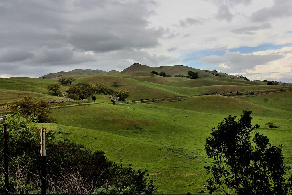
Green Pastors
Sunol Spring Hillside No.01

Good weather! #Fremont #sanfrancisco #Cloud #California #usa #trip #travel
I'm beginning to wonder why I kept passing up this EB park. What a gem! #EBRPD #SunolRegionalWilderness #Sunol
Clouds Over Mission Peak
Scattered Showers
Central Park
Calaveras Hills

Shade and reflections
Topographic Map of Glenmoor Cir, Milpitas, CA, USA
Find elevation by address:

Places near Glenmoor Cir, Milpitas, CA, USA:
244 Smithwood St
Ranch Drive
200 Casper St
210 Butler St
Starbucks
534 Dundee Ave
Milpitas
969 Mente Linda Loop
402 Belshaw Dr
240 Summerfield Dr
540 Alder Dr
1228 Moonlight Way
Sycamore Drive
Great Mall Drive
1456 S Main St
Spindrift Dr, San Jose, CA, USA
1335 Canton Dr
355 River Oaks Pkwy
1728 Lee Way
130 Descanso Dr
Recent Searches:
- Elevation of 7 Waterfall Way, Tomball, TX, USA
- Elevation of SW 57th Ave, Portland, OR, USA
- Elevation of Crocker Dr, Vacaville, CA, USA
- Elevation of Pu Ngaol Community Meeting Hall, HWHM+3X7, Krong Saen Monourom, Cambodia
- Elevation of Royal Ontario Museum, Queens Park, Toronto, ON M5S 2C6, Canada
- Elevation of Groblershoop, South Africa
- Elevation of Power Generation Enterprises | Industrial Diesel Generators, Oak Ave, Canyon Country, CA, USA
- Elevation of Chesaw Rd, Oroville, WA, USA
- Elevation of N, Mt Pleasant, UT, USA
- Elevation of 6 Rue Jules Ferry, Beausoleil, France