Elevation of Ranch Creek Rd, Cool, CA, USA
Location: United States > California > El Dorado County > Cool >
Longitude: -121.00918
Latitude: 38.8783776
Elevation: 462m / 1516feet
Barometric Pressure: 96KPa
Elevation Map:
Satellite Map:
Related Photos:

Quarry Wall Under Forest Moonlight
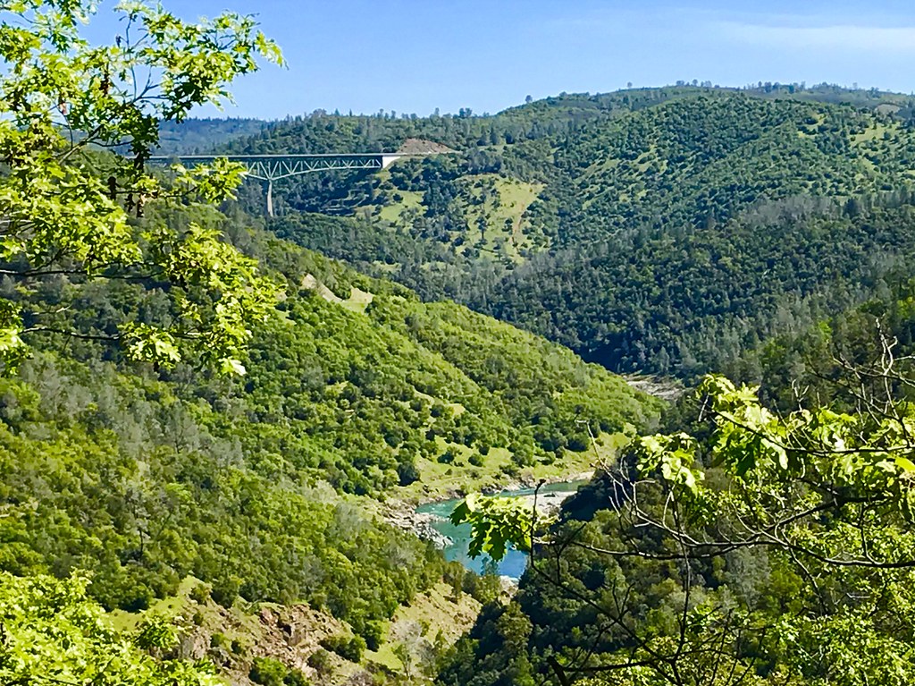
North Fork of American River
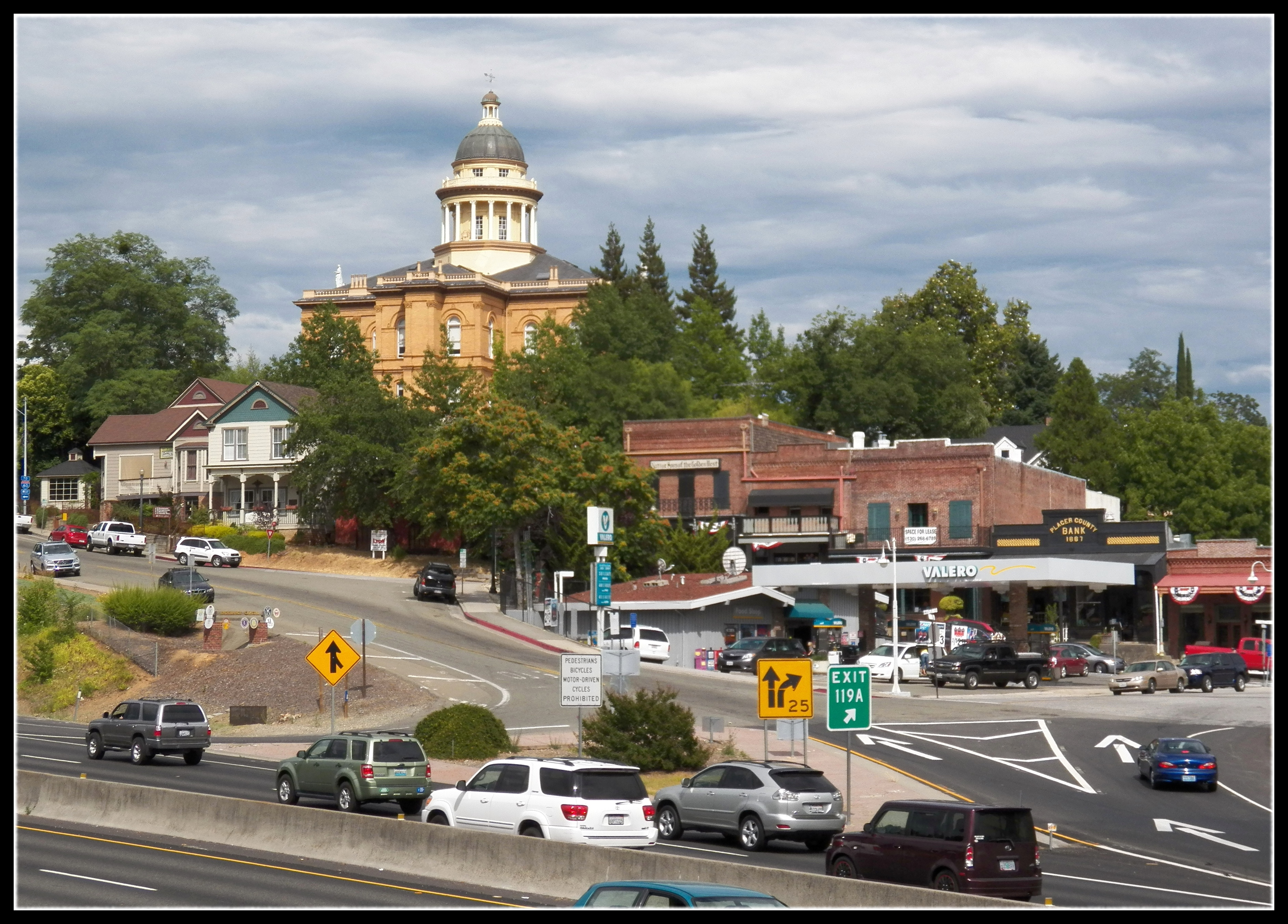
Central Auburn
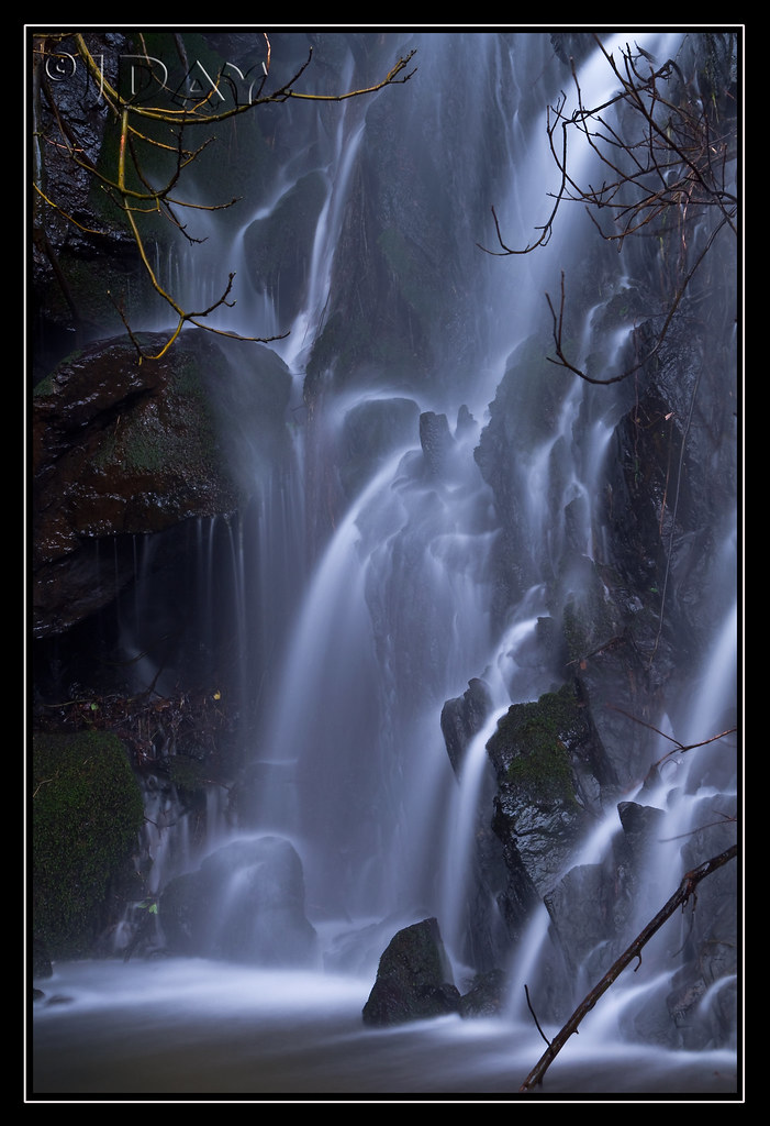
Grotto of the Falls
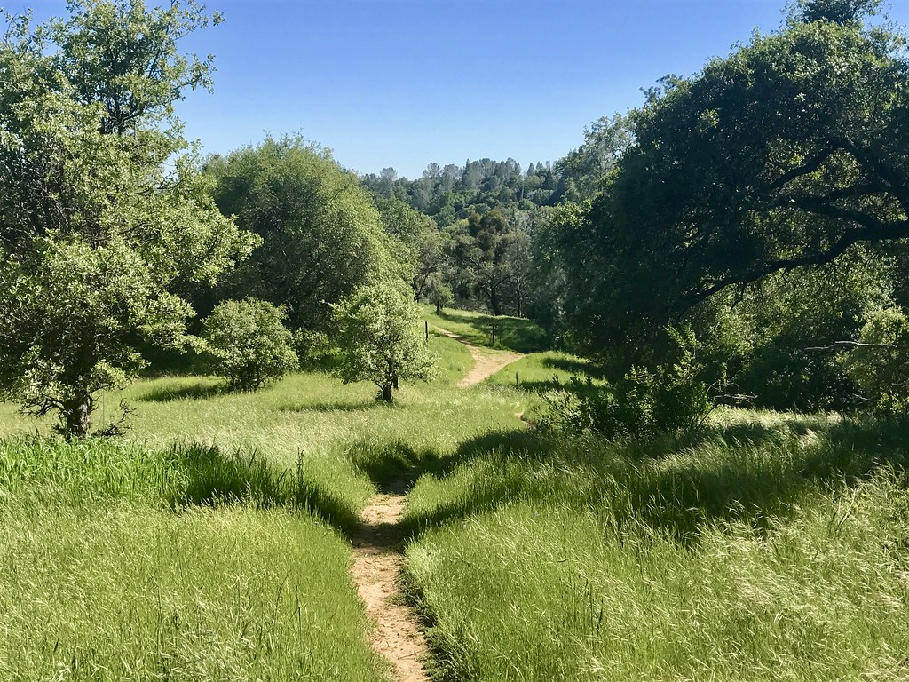
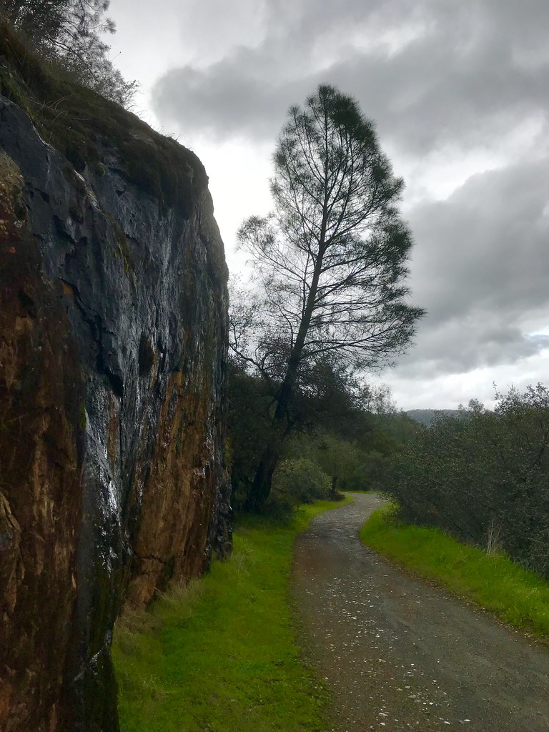
Trail View
Full Sized Moon and Story 6479

Day 932: Auburn_9446d

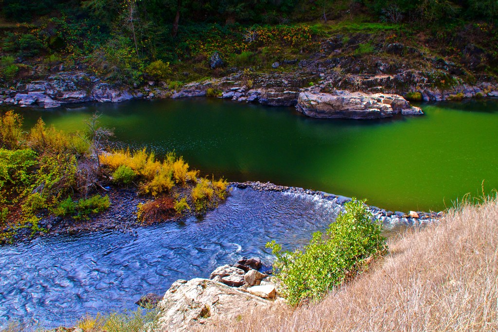
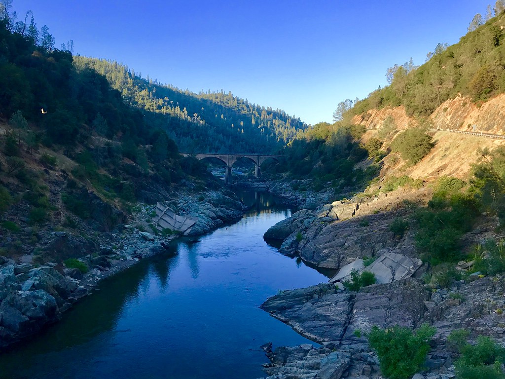
North Fork American River
Green. Blue. Good book. Good view. Perfect weather. #california #sunshine #view #peace #quiet
Day 925: Auburn_9181d
Exterior Rear
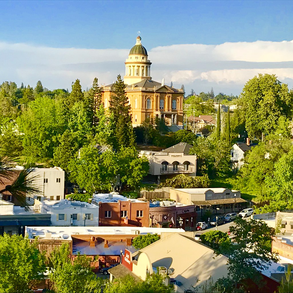
Courthouse View
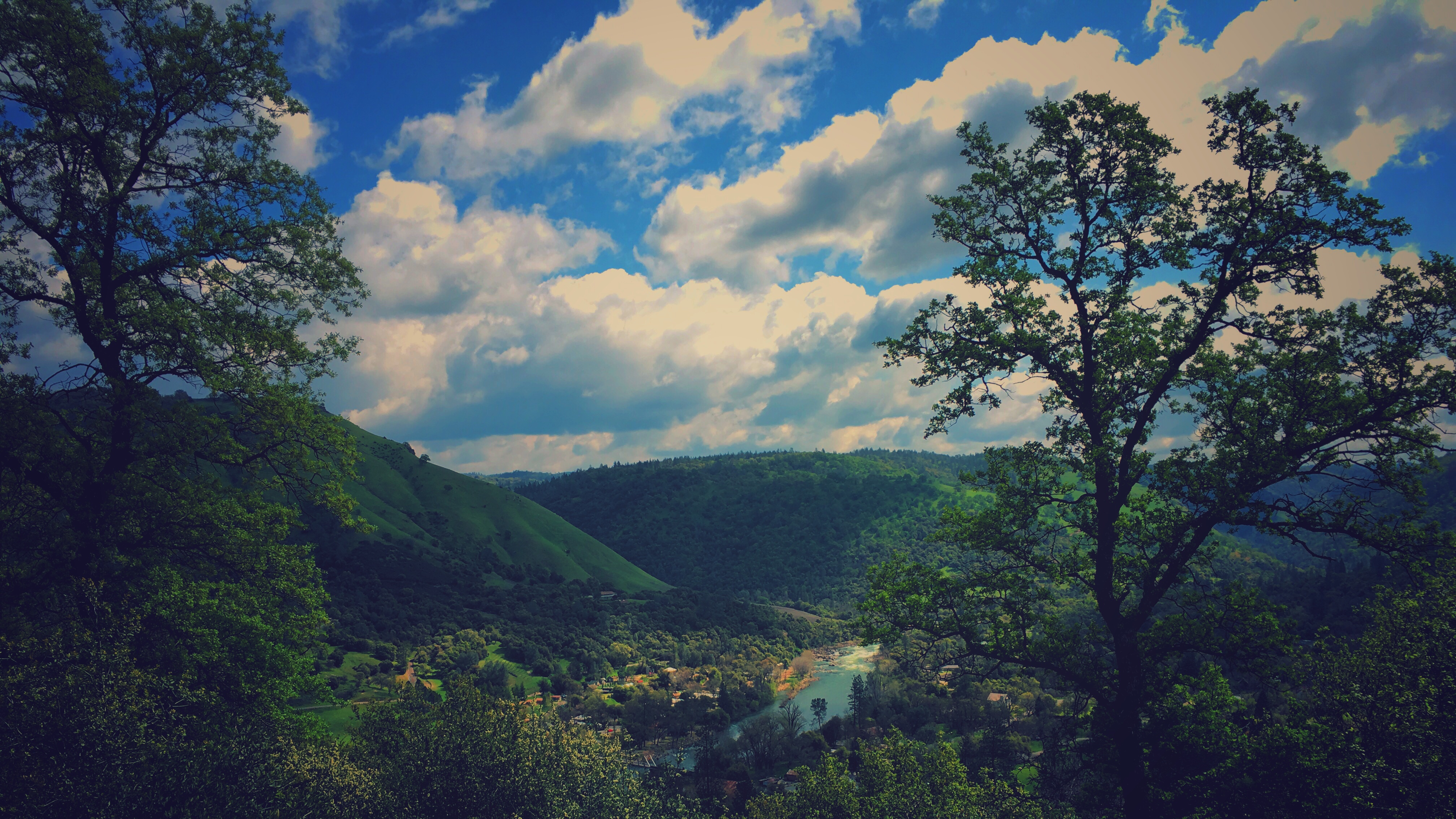
Canyon View Preserve
From the Gold Country

Best rear view ever

The Auburn Courthouse
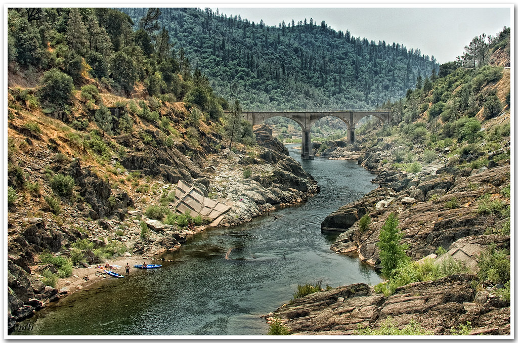
View towards east abutment
Upstream View
Paralleling tracks

Couple-2059
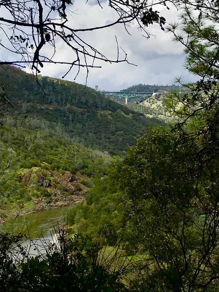
Canyon View
No Hands Bridge

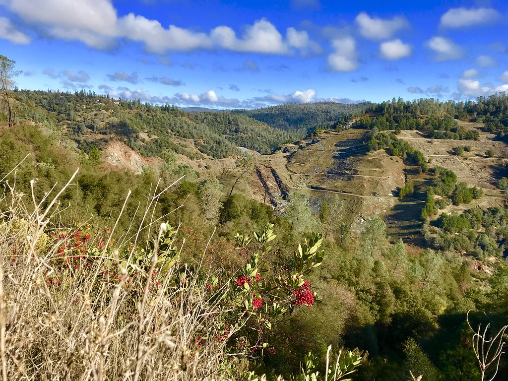
Cool Quarry

Sunset @ Folsom Lake
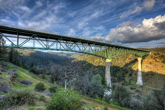
Forresthill Bridge
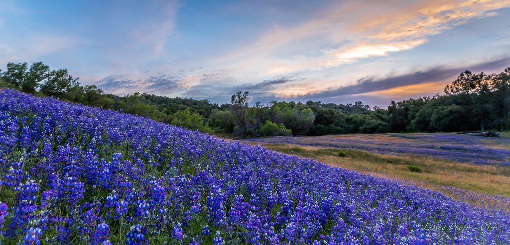
Purple Delight
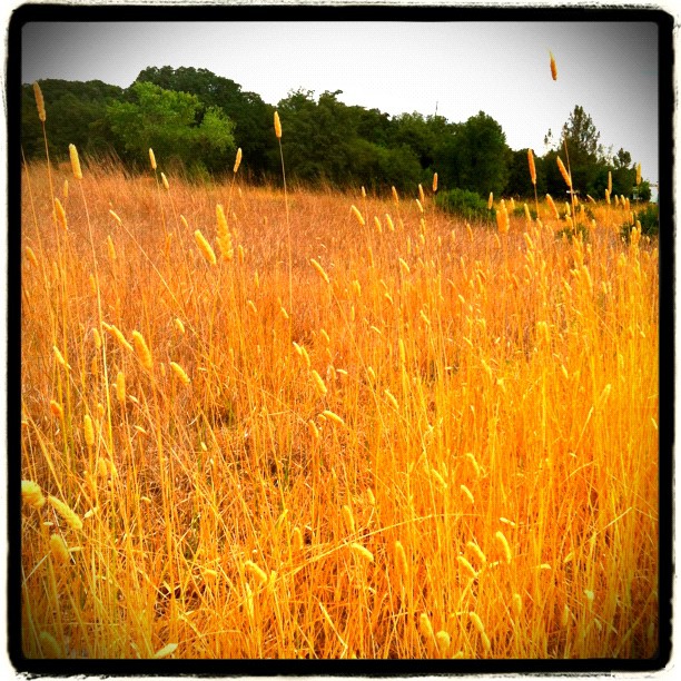
Amber waves
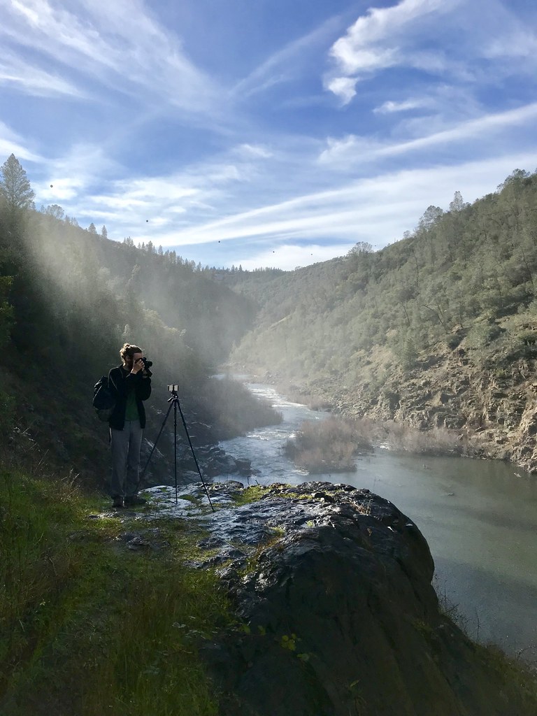
North Fork Photo Op
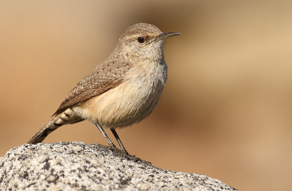
Rock Wren
Morning on the American
Foresthill Bridge
finding gold in the valley of Coloma
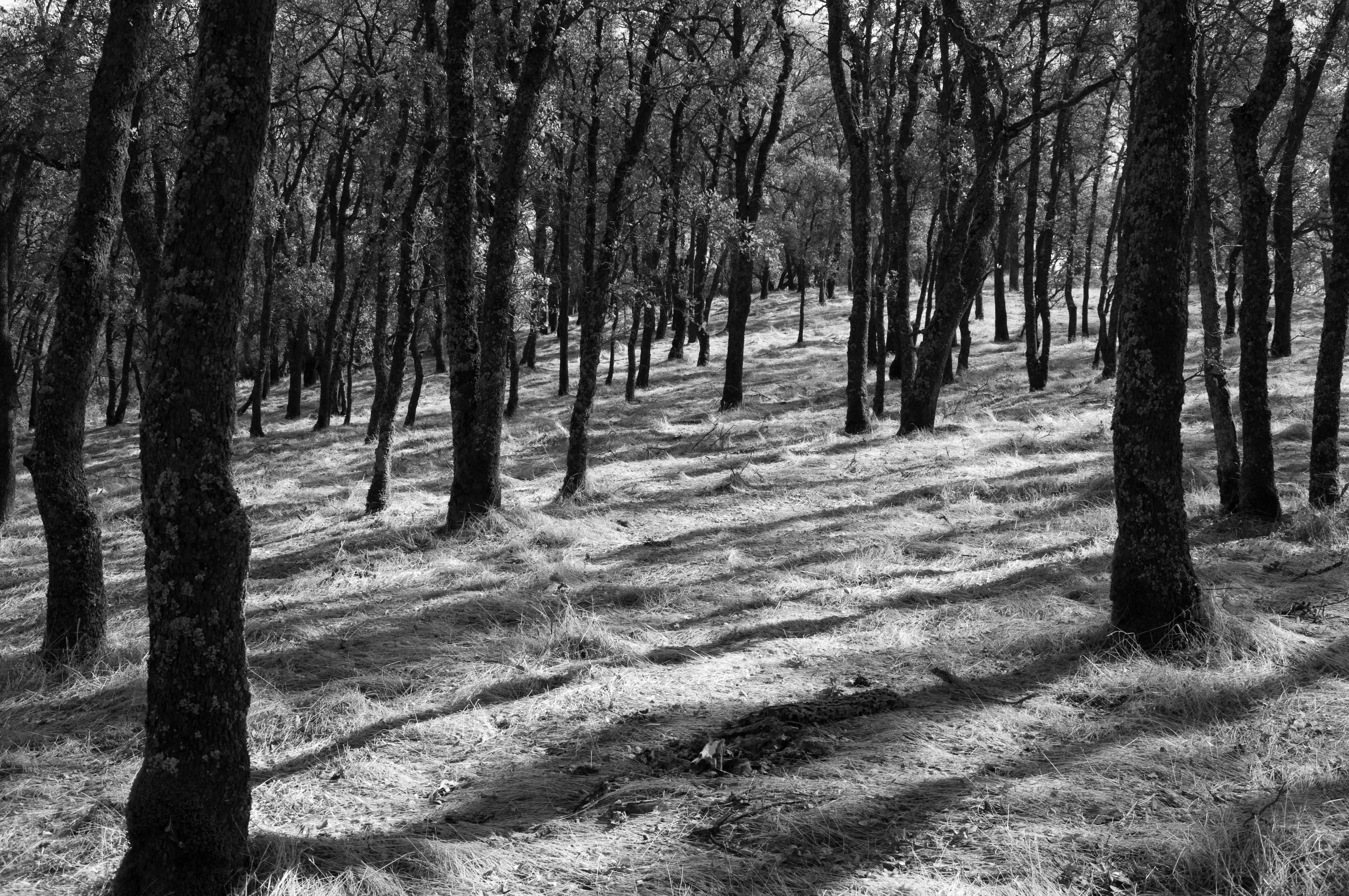
Trees on a hill
Trail Tree
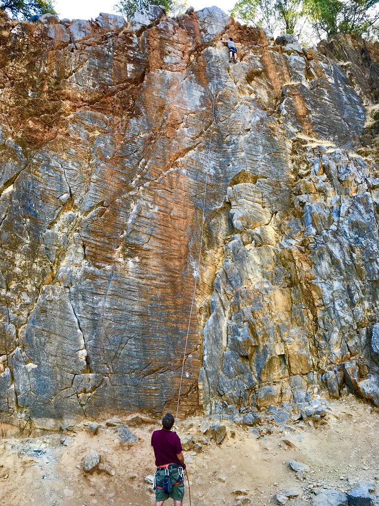
On Belay

Blue Breakthrough
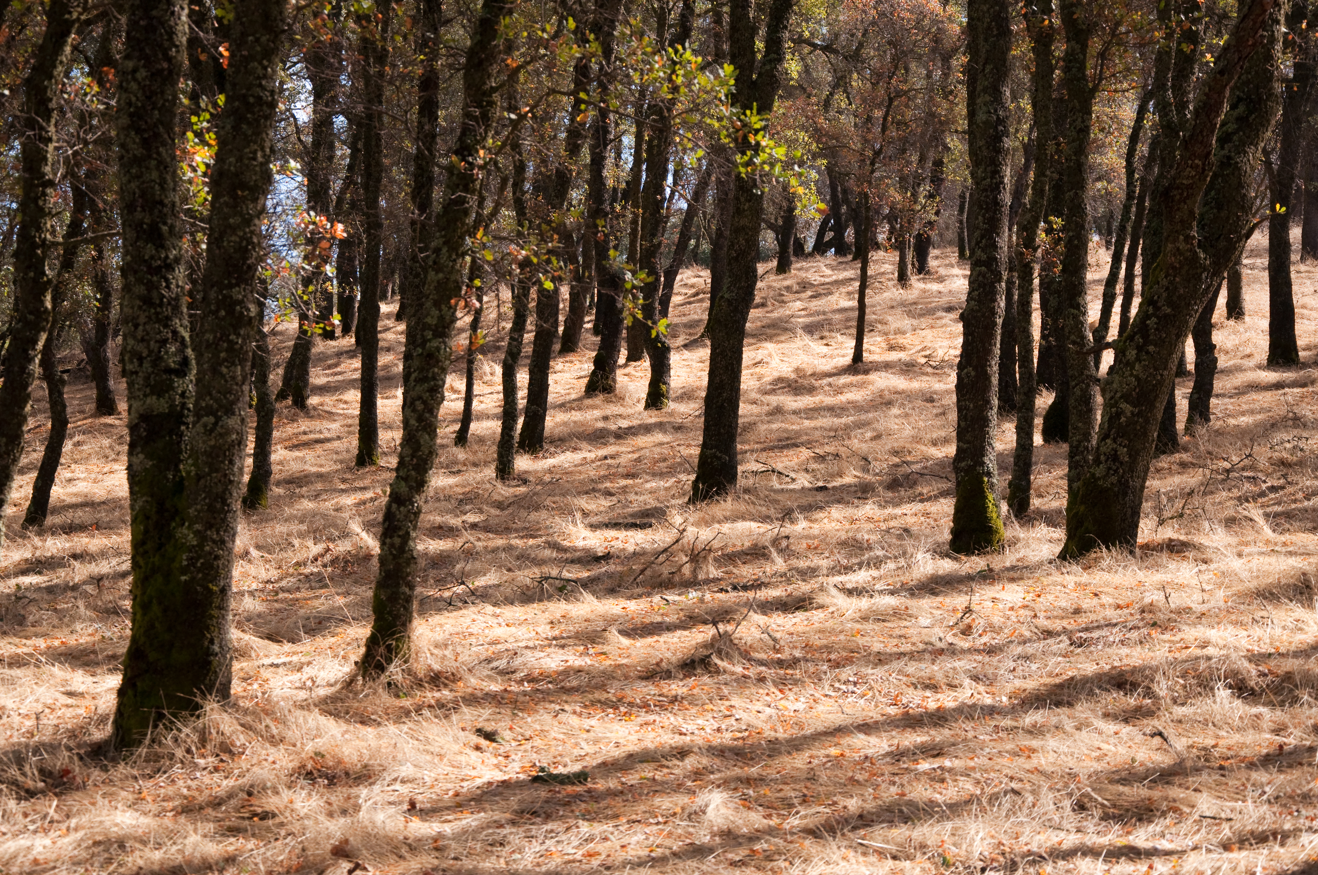
Trees on a hill
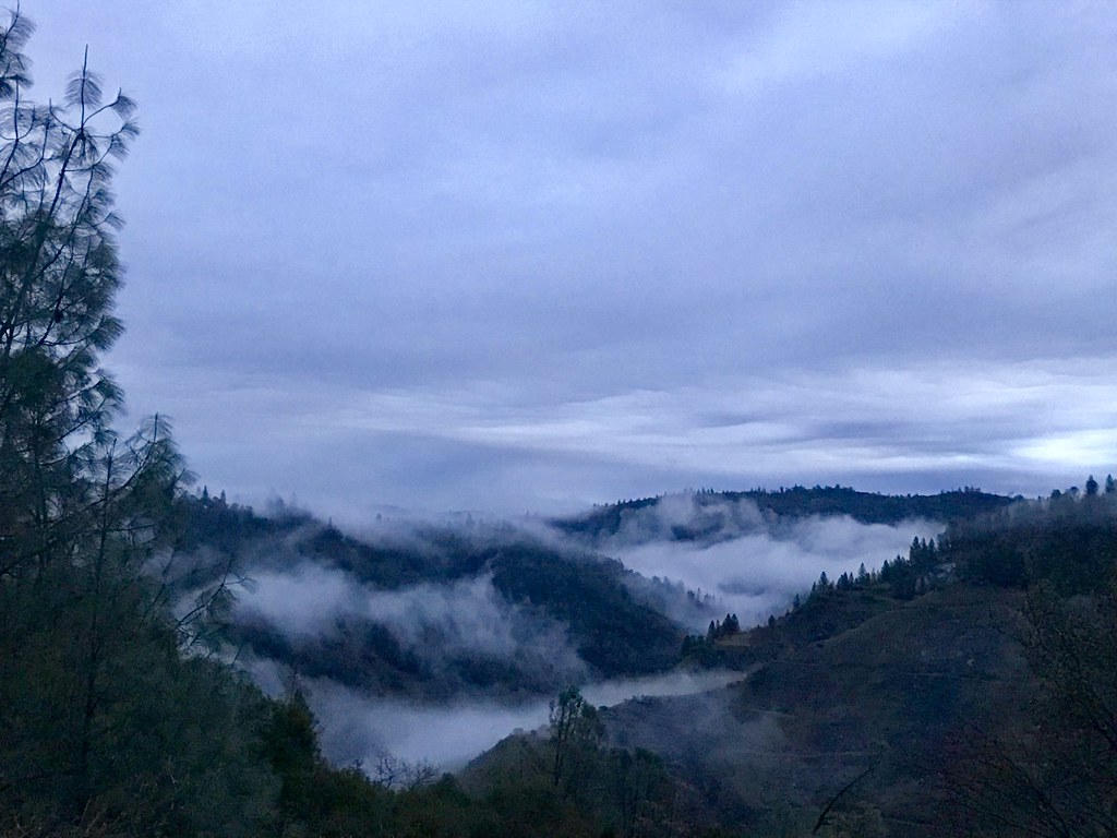
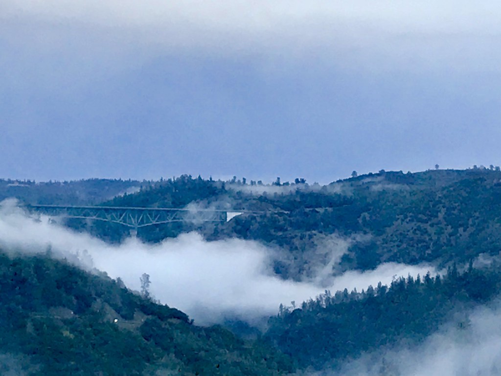
Canyon Clouds

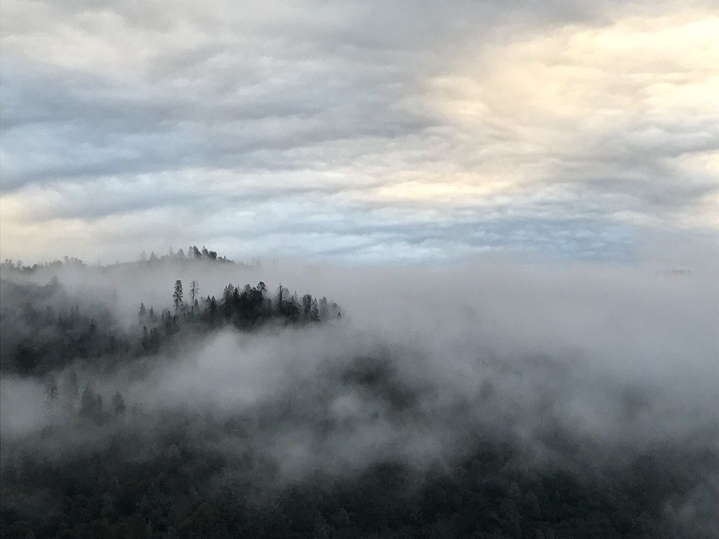
moss and mist

Canyon Clouds
Pines Peaking Through
Topographic Map of Ranch Creek Rd, Cool, CA, USA
Find elevation by address:

Places near Ranch Creek Rd, Cool, CA, USA:
Cool
1575 Indian Rock Rd
Cool, CA, USA
4786 Meadowview Acres Ct
Talking Pines Court
1780 Indian Rock Rd
3871 Catecroft Ln
2418 Westville Trail
2600 Otter Trail
2640 Otter Trail
2111 Double O Mine Ct
2111 Double O Mine Trail
1111 Ca-193
2081 Balloon Ridge Trail
398 Robie Dr
1940 Tegra Rd
120 Traverse St
232 Foresthill Ave
10125 Snowy Owl Way
2121 Hidden Gold Trail
Recent Searches:
- Elevation of Estates Loop, Priest River, ID, USA
- Elevation of Woodland Oak Pl, Thousand Oaks, CA, USA
- Elevation of Brownsdale Rd, Renfrew, PA, USA
- Elevation of Corcoran Ln, Suffolk, VA, USA
- Elevation of Mamala II, Sariaya, Quezon, Philippines
- Elevation of Sarangdanda, Nepal
- Elevation of 7 Waterfall Way, Tomball, TX, USA
- Elevation of SW 57th Ave, Portland, OR, USA
- Elevation of Crocker Dr, Vacaville, CA, USA
- Elevation of Pu Ngaol Community Meeting Hall, HWHM+3X7, Krong Saen Monourom, Cambodia