Elevation of CA-, Greenwood, CA, USA

Location: United States > California > El Dorado County > Cool >

Longitude: -120.96890

Latitude: 38.8980771

Elevation: 495m / 1624feet

Barometric Pressure: 96KPa

Elevation Map:

elevation map of CA-, Greenwood, CA, USA

Satellite Map:

Satellite map of CA-, Greenwood, CA, USA

Related Photos:

california ca black true mystery night cat dark interestingness scary dangerous darkness topv999 auburn eerie safety explore story mysterious account puma sierranevada topv9999 cougar inky 28135mm mountainlion frightening placercounty sierranevadamountains stalked top500 interestingness304 i500 monsterquest
Stalked by a Mountain Lion
california county sea moon mountain mountains 20d true northerncalifornia night canon fun bay photo site funny lion tranquility luna nasa landing story telescope photograph crater valley planet puma bays apollo lunar gibbous base placer seas mountainlion celestial placercounty stellarvue familygetty
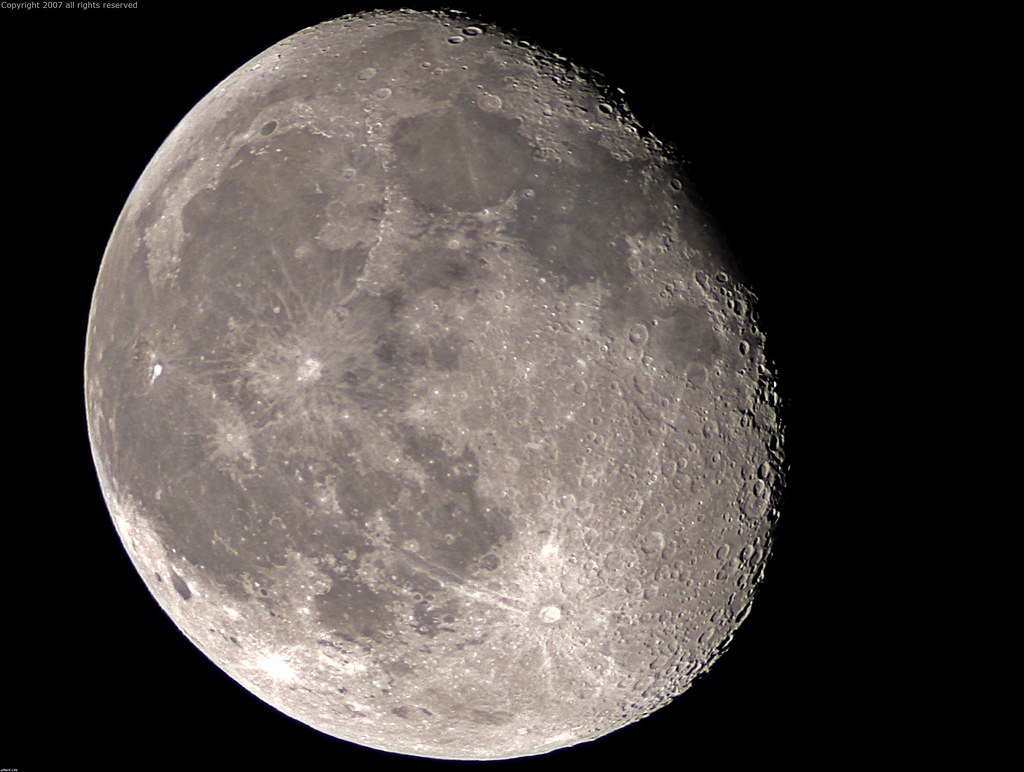
Full Sized Moon and Story 6479
dive diving american river north fork kid kids jumping jump water stream rock rocks boulders cold freezing hot day cooling off clone action sports extreme cloning photoshop sequence summer fun play acting activity vacation canon 50d photo photograph multiplicity sport
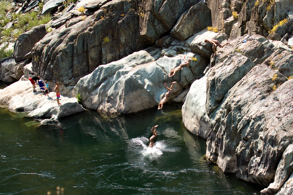
Summer Insanity 2737
california railroad house tree brick abandoned window stone canon hotel photo cool oak stage ghost steps landmark eerie haunted spooky photograph restore historical restoration boarded 1860 bayley 50d
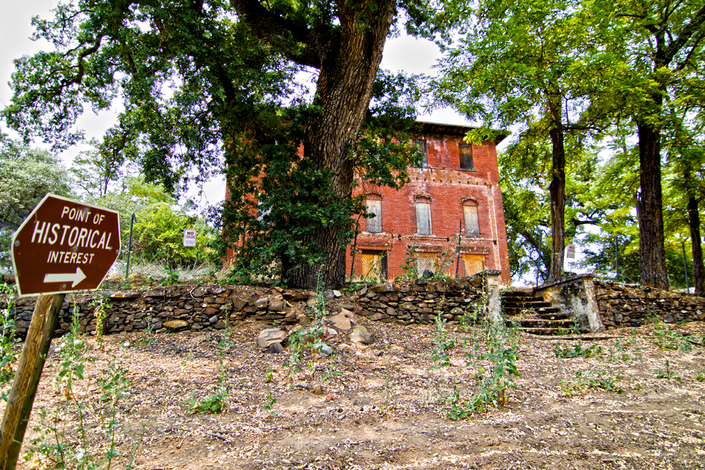
The Old Bayley House 2674
canyonviewpreserve auburn auburnca placerlandtrust sierrafoothills
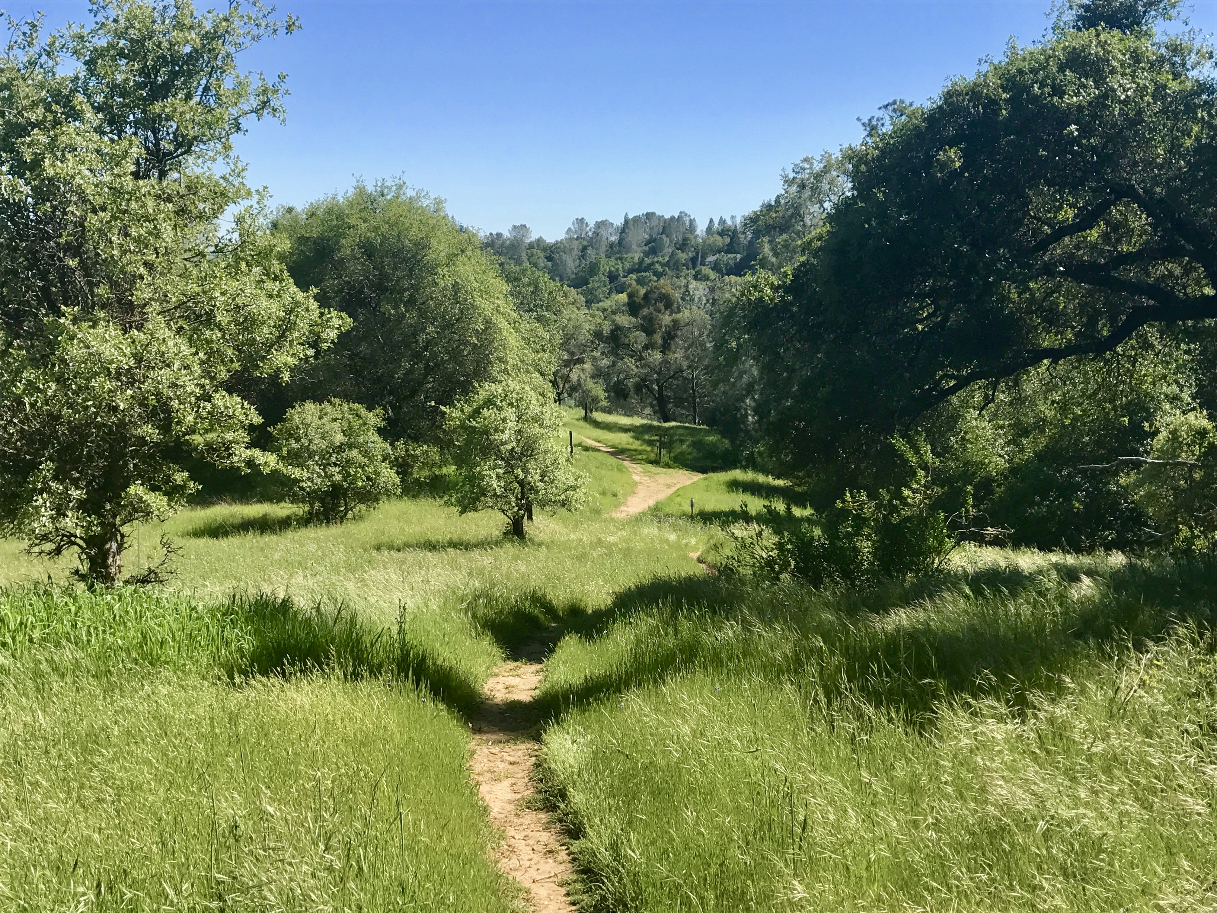
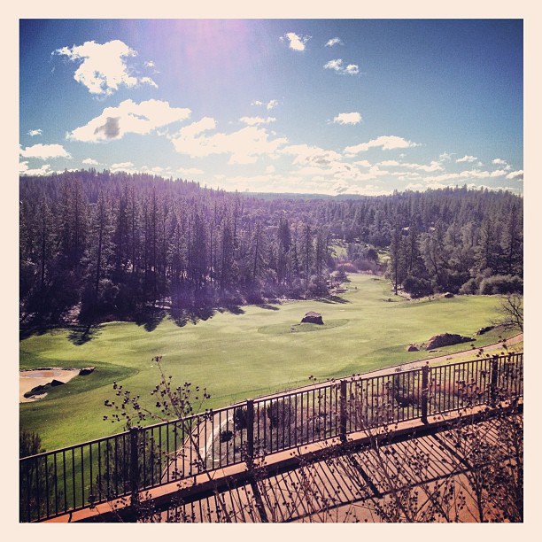
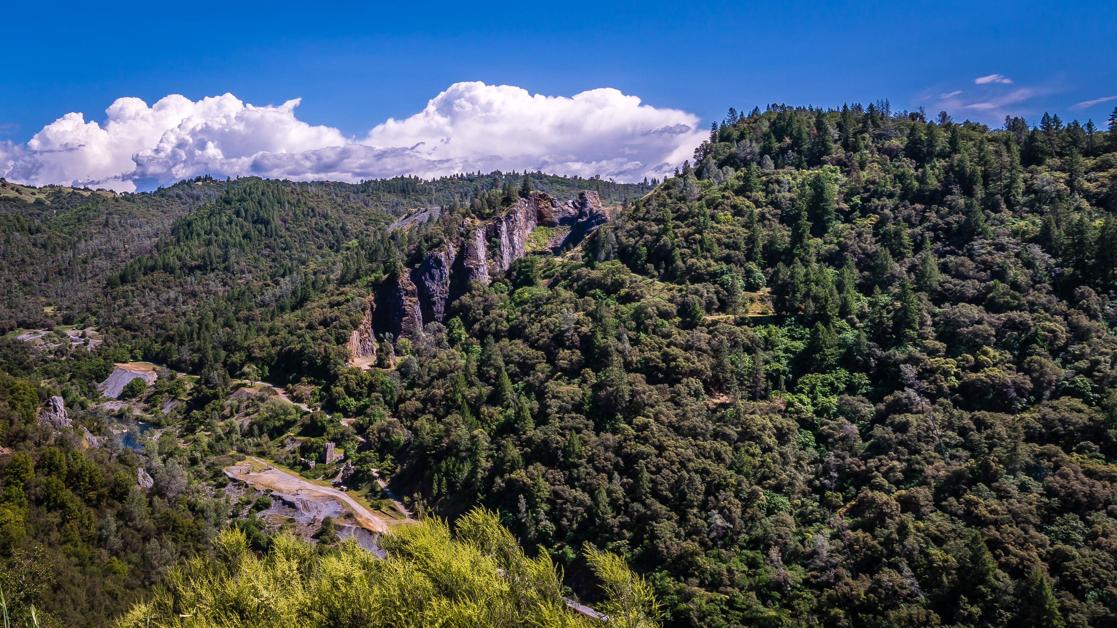
Canyon View Preserve
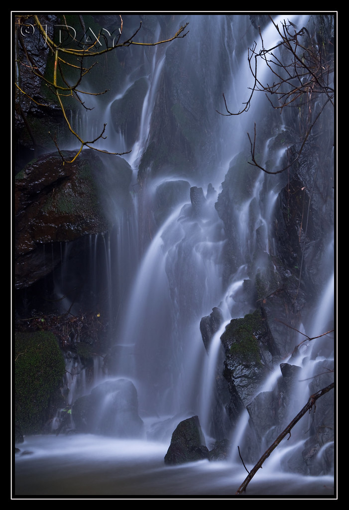
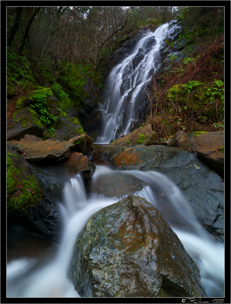
ca usa water rock moss auburn falls trail february 2010 americanriver sierranevadafoothills auburnsra blackholeofcalcuttafalls
Grotto of the Falls
california history 20d canon photo cityscape auburn historic photograph courthouse sacramento hdr placercounty supershot familygetty
Historic Auburn HDR 4115
instagramapp square squareformat iphoneography uploaded:by=instagram
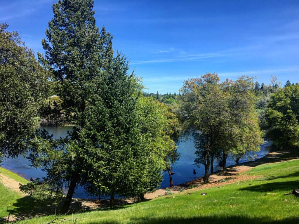
Green. Blue. Good book. Good view. Perfect weather. #california #sunshine #view #peace #quiet
ca building sunrise court project day auburn 1000 932
Day 932: Auburn_9446d
california landscape applegate coth abigfave impressedbeauty diamondclassphotographer flickrdiamond ef1635mmf28liiusm nejmantowicz dragondaggerphoto flickrclassique salonpolski
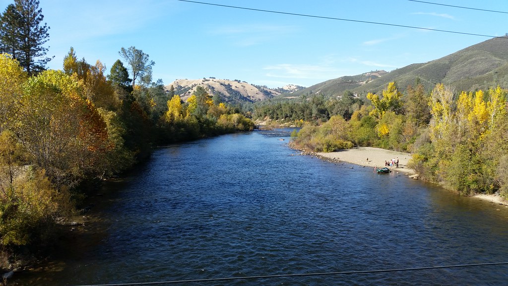
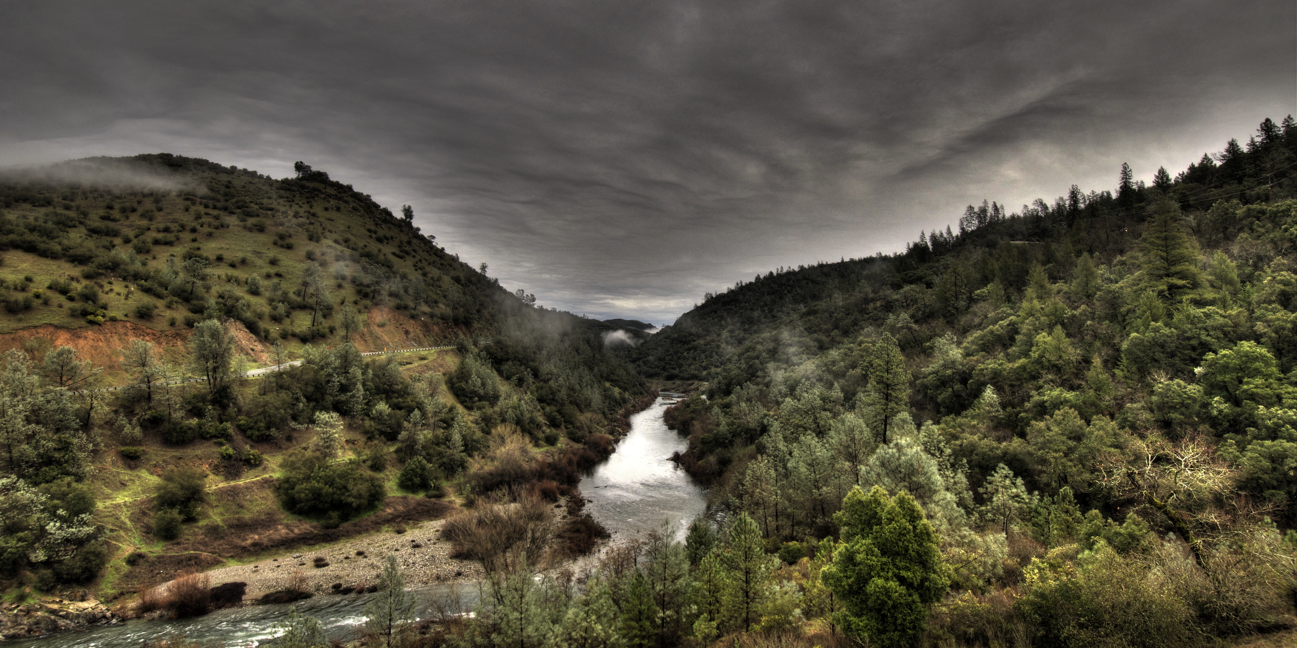
North Fork American River
ca house court project day auburn 1000 925
Day 925: Auburn_9181d
square squareformat iphoneography instagramapp uploaded:by=instagram foursquare:venue=4bad502bf964a5201e453be3
Best rear view ever
california auburn americanriver greatphotographers flickraward nejmantowicz clarkshole
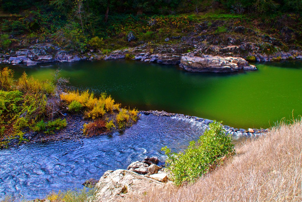
North Fork of American River
Paralleling tracks
california trees sky usa tree clouds buildings artistic grunge structures places auburn hdr scenicshots artisticinterpretations
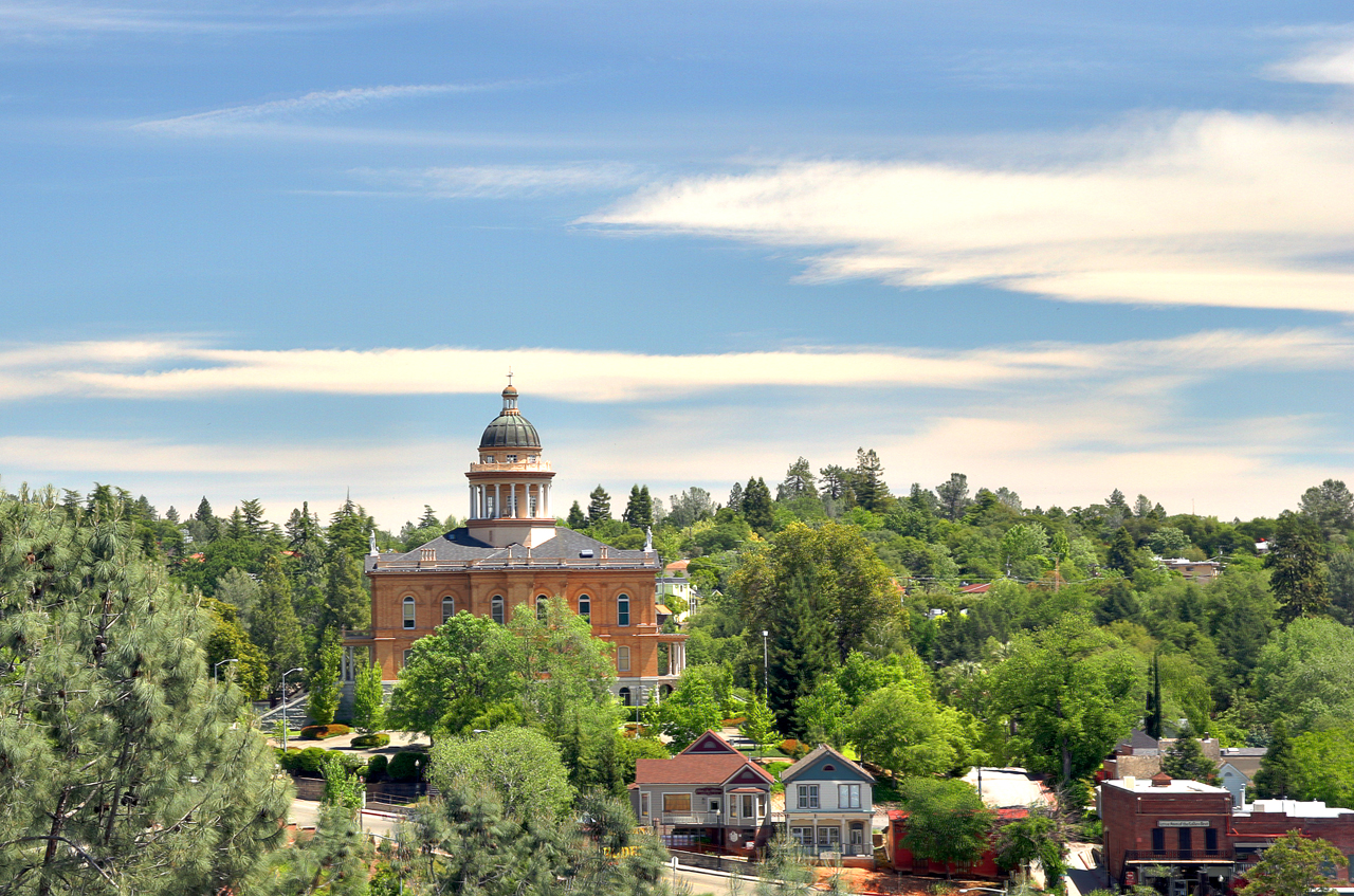
Historic Placer County Courthouse
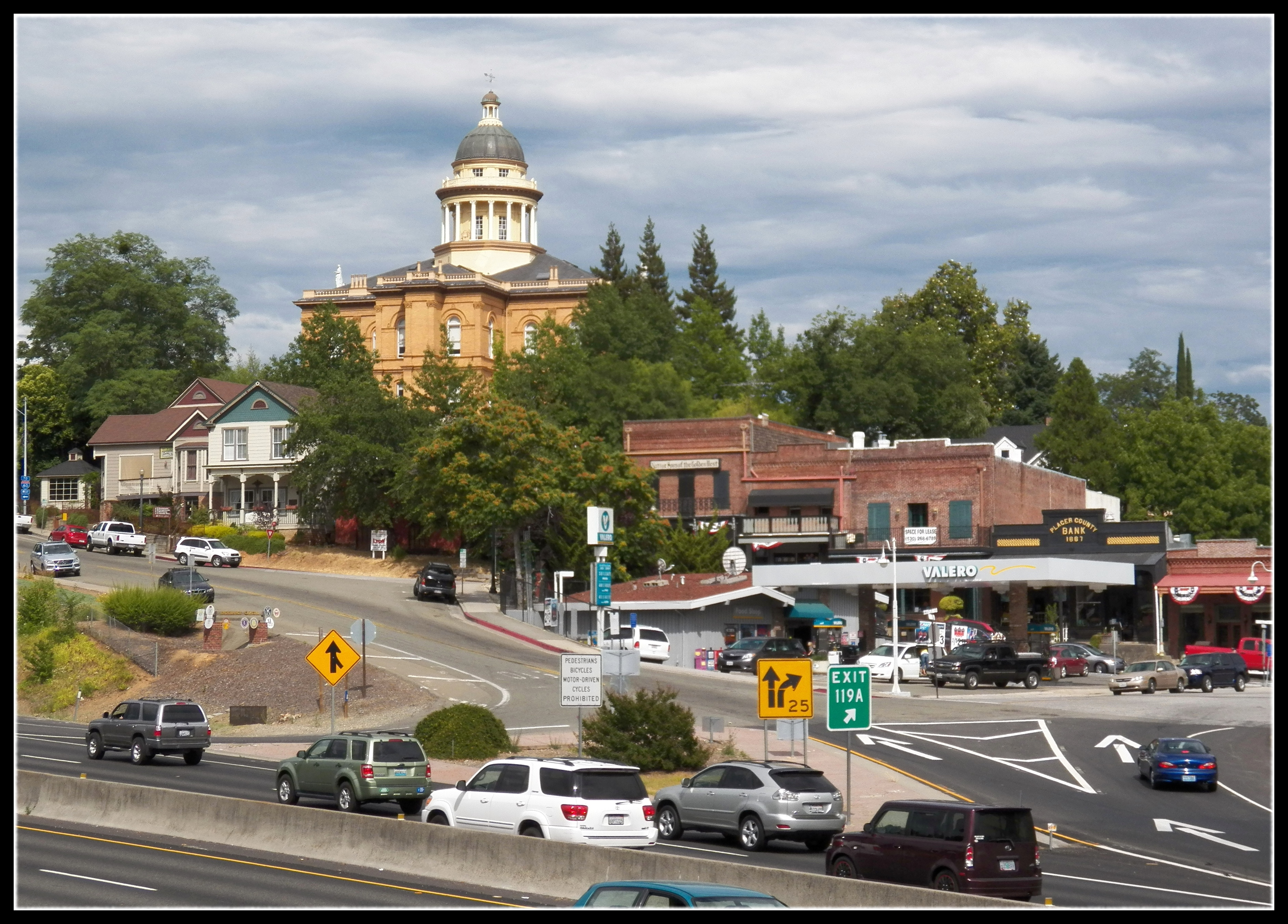
california county travel house america court gold highway downtown united country auburn rush courthouse interstate states roadside 80 placer
Central Auburn
california old 3 cars ford car antique auburn courthouse hdr fords goldcountry exp photomatix sfchronicle96hrs
The Auburn Courthouse
The view from Agard
california statue train auburn mines hdr miner placercounty goldcountry photomatix 3exp sfchronicle96hrs
From the Gold Country
railroad bridge mountain 20d forest canon river concrete photo stream famous hill canyon photograph sacramento foresthill nohands placercounty americanriver quarries casch familygetty
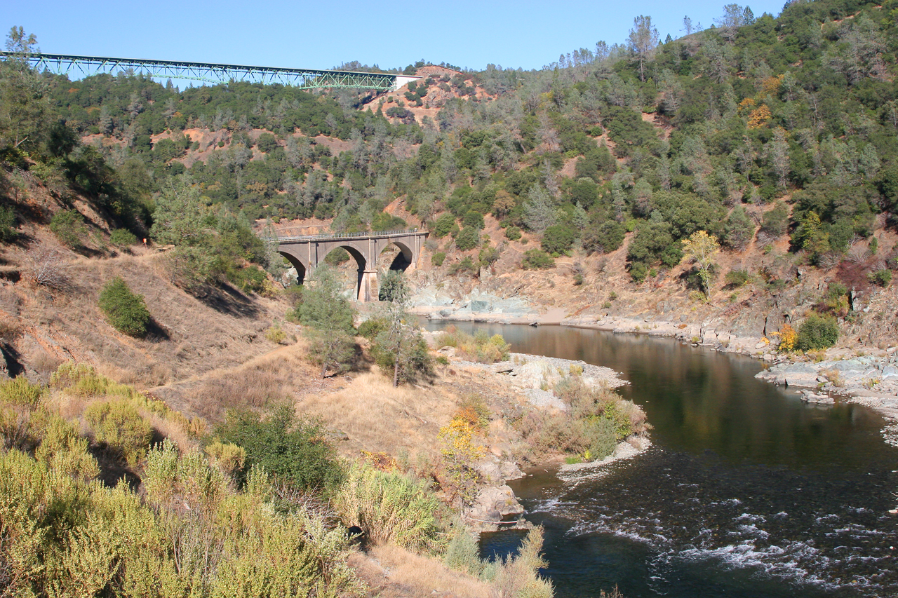
Two Famous Bridges 0935
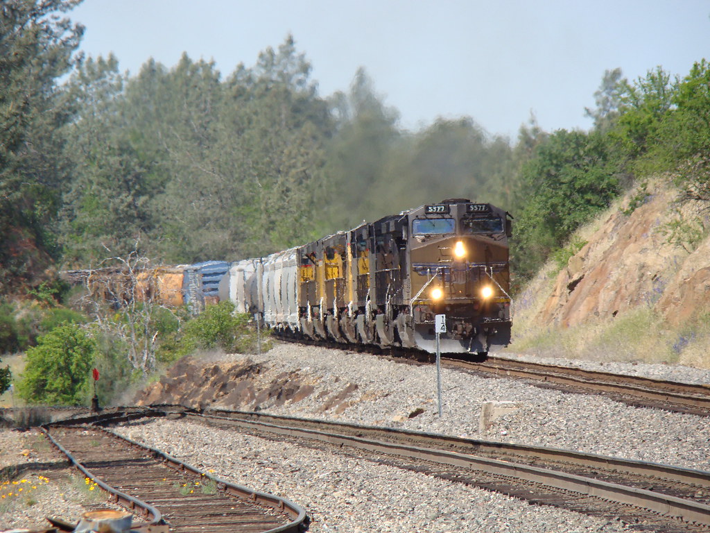
california railroad up train newcastle sp unionpacific locomotive ge freight southernpacific uprr emd sd70ace c45accte
UP 5577 East
california coloma
finding gold in the valley of Coloma
Donner Pass, CA
northerncalifornia landscape nikon d800
Foresthill Bridge
california norcal placercounty hwy49 commute cows pasture spring green
Sunny day
california ca bridge tower water forest river movie landscape geotagged steel hill topv999 structures bridges engineering auburn location structure rivers xxx topv9999 base basejumping engineer foresthill span 28135mm confluence footings stunt spans northfork highest americanriver tallest facts goldcountry discoverychannel foundations reshoot civilengineering foresthillbridge middlefork landscapephotography basejump steeltruss californiagoldcountry landscapephotos auburndam basejumpers stuntjunkies
Foresthill Bridge Over the North Fork of the American River
instagramapp square squareformat iphoneography uploaded:by=instagram
Sometimes you get off the bike and take a hike around the lake... #lakeview #california #perfectday #hiking #trails #homestate #hearthealth #cardio #hikecalifornia #sunshine #peace #quiet #reflection
square squareformat iphoneography instagramapp uploaded:by=instagram foursquare:venue=4b6b07aff964a520d2ed2be3
Amber waves
northerncalifornia spring hiking eldoradocounty californa auburnstaterecreationarea
Spring in California
california bridge river interestingness explore 16 placercounty americanriver goldcountry nohandsbridge sfchronicle96hrs
No Hands Bridge
california longexposure motion fern water rock waterfall moss movement wideangle auburn landmark olympus e3 ultrawide placercounty zd nd8 ndgrad p121f olympuse3 918mm
Black Hole of Calcutta
American River
ranch northerncalifornia coloma eldoradocounty highway49 ranchland canong11 lightroom4 topazsw
Forty Acres and a Mule
california
051015_23_Lake Clementine Dam, CA
california thanksgiving ca bridge autumn reflection fall pool river puddle hands no auburn pools norcal nohands americanriver nohandsbridge
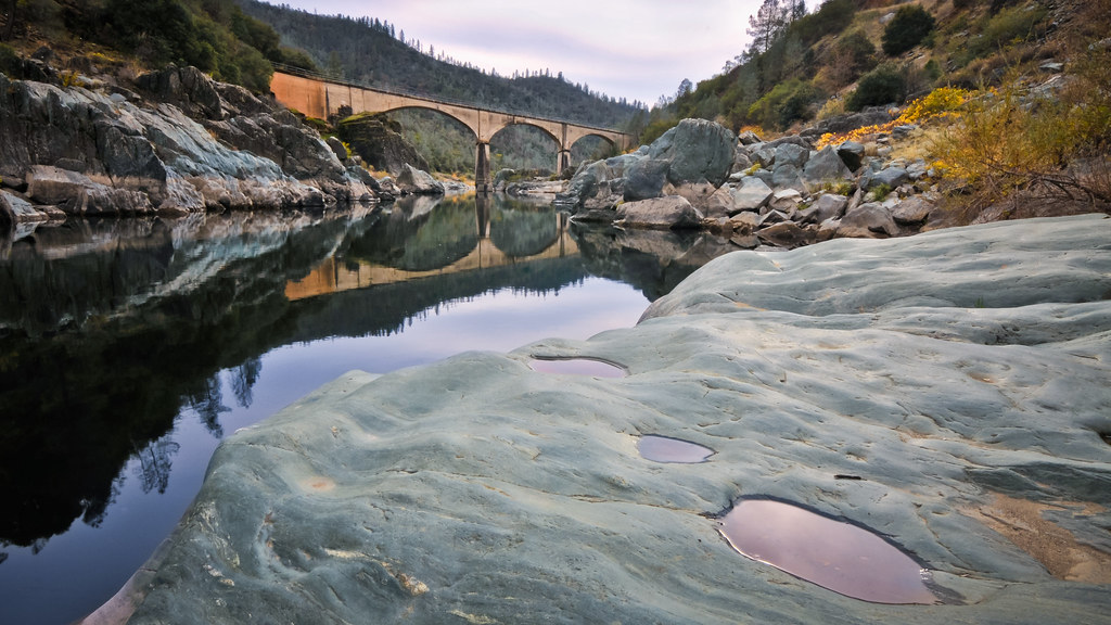
No Hands Bridge - Auburn, CA
Morning on the river.
square sierra squareformat iphoneography instagramapp uploaded:by=instagram foursquare:venue=4bbcee67a0a0c9b6a2ff1a0f
It's going to be a great day
No Hands Bridge
ca landscape cool hdr americanriver
Middle Fork tonemapped
california northerncalifornia landscape nikon d800 cloudsstormssunsetssunrises
_ADS3092.jpg