Elevation of Otter Trail, Cool, CA, USA

Location: United States > California > El Dorado County > Cool >

Longitude: -120.98418

Latitude: 38.902215

Elevation: 493m / 1617feet

Barometric Pressure: 96KPa

Elevation Map:

elevation map of Otter Trail, Cool, CA, USA

Satellite Map:

Satellite map of Otter Trail, Cool, CA, USA

Related Photos:

hff happyfencefriday fence twinpines california
HFF Hillside Fence
california history 20d canon photo cityscape auburn historic photograph courthouse sacramento hdr placercounty supershot familygetty
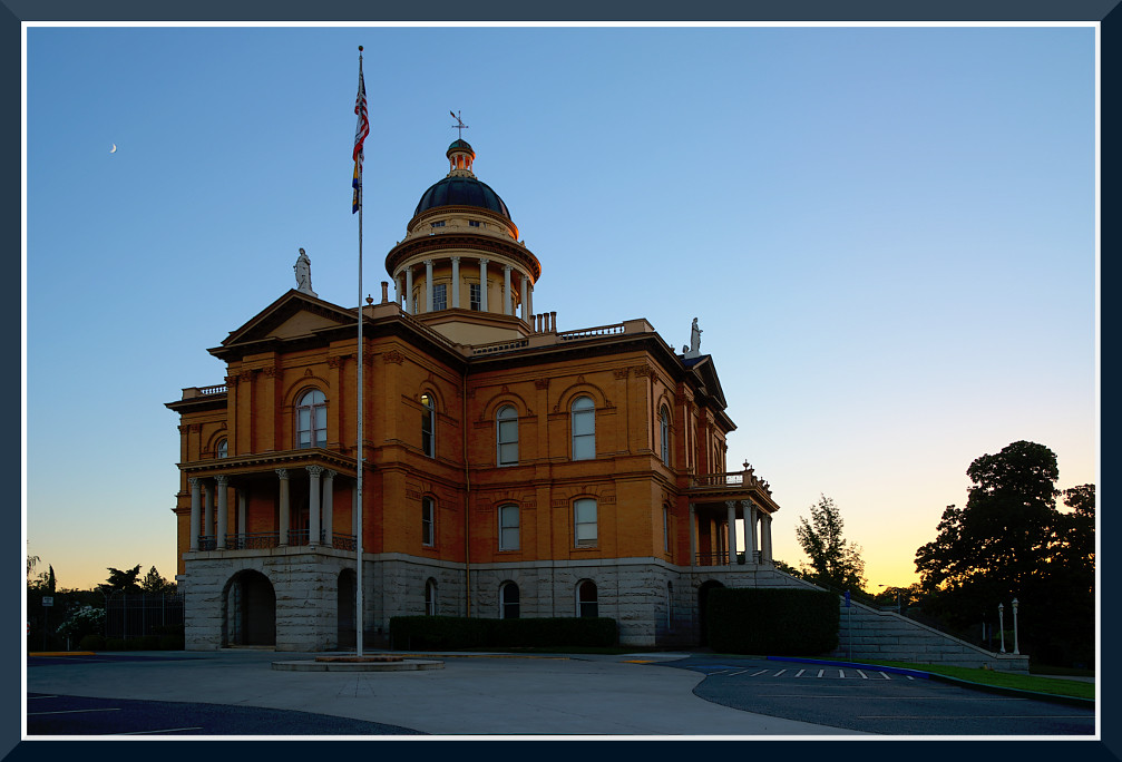
Historic Auburn HDR 4115
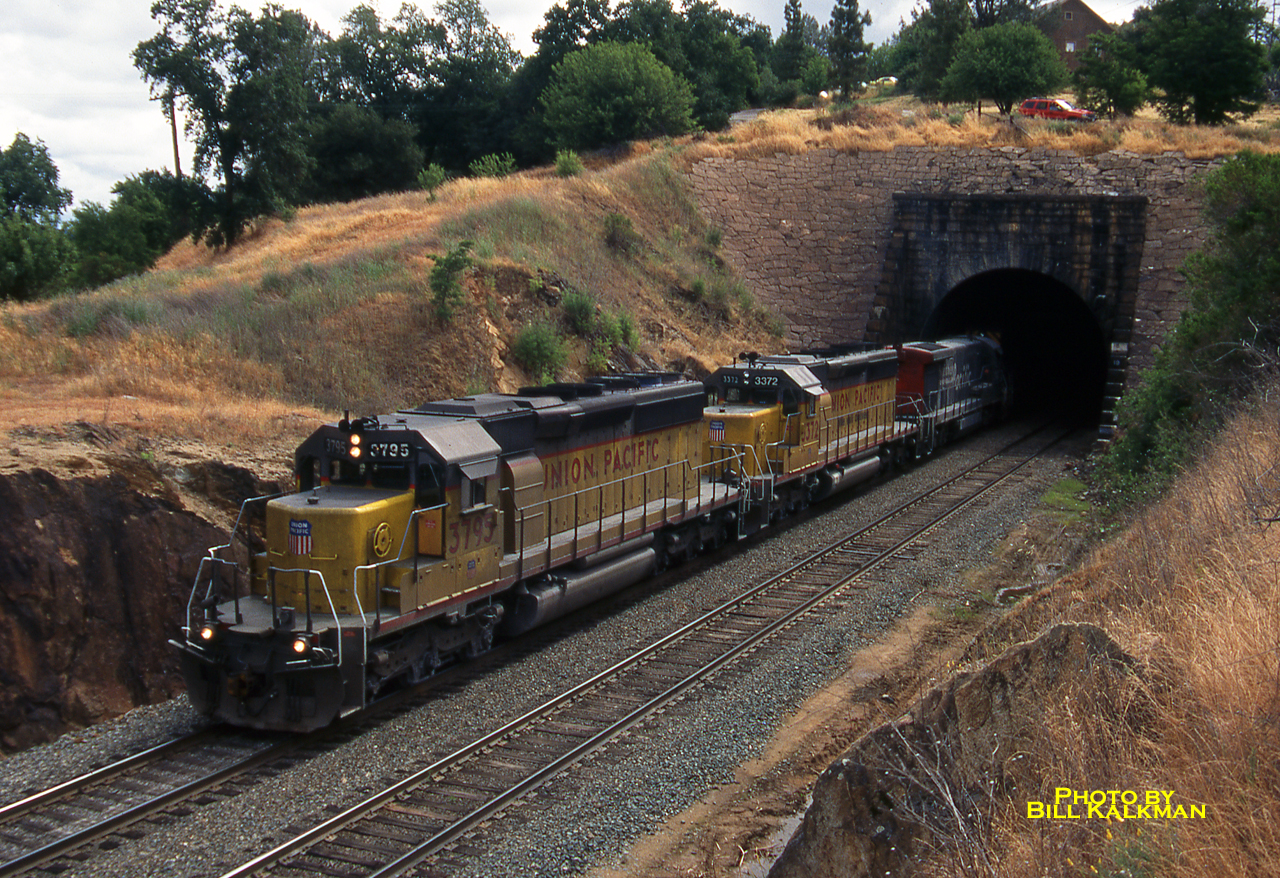
1999 06-03 1007-1 UP SD40-2-3795 W/B Newcastle, CA
darkhorsegolfcourse nevadacounty fosp passerellaunalaschcensis muddybill foxsparrow
Fox Sparrow
california county sea moon mountain mountains 20d true northerncalifornia night canon fun bay photo site funny lion tranquility luna nasa landing story telescope photograph crater valley planet puma bays apollo lunar gibbous base placer seas mountainlion celestial placercounty stellarvue familygetty
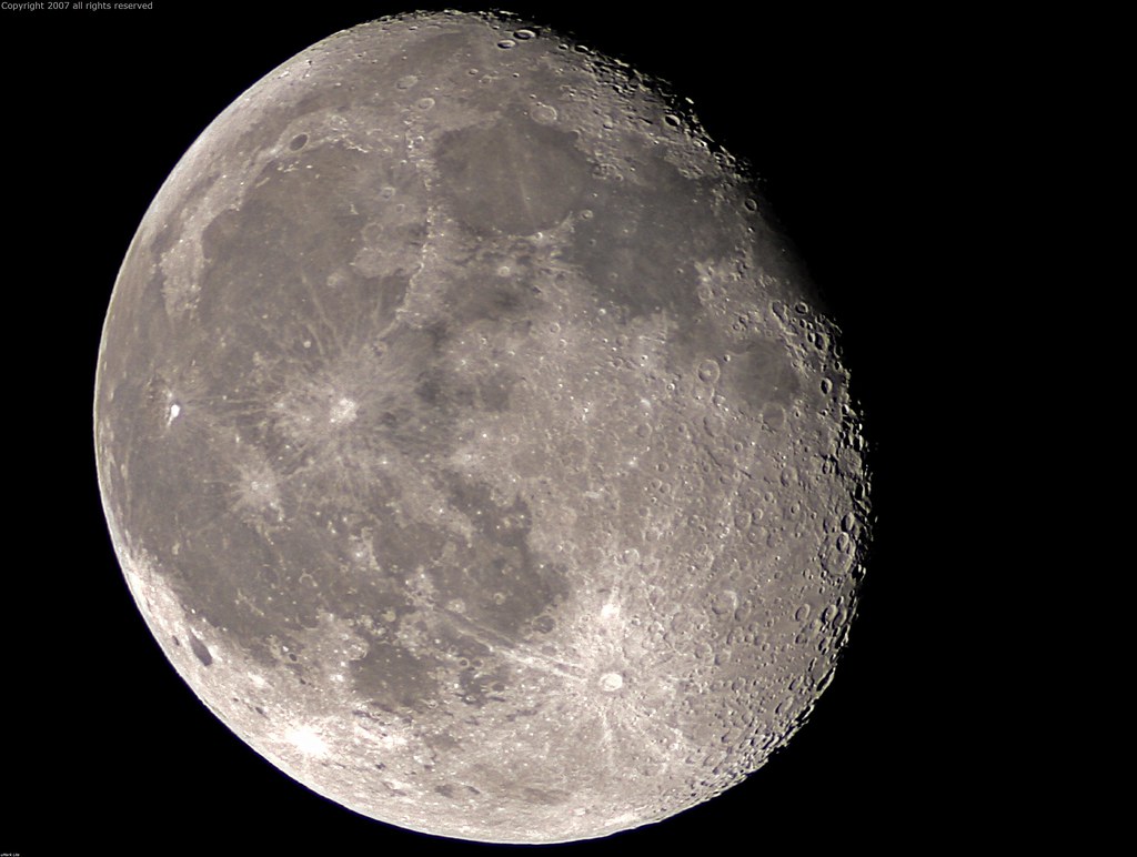
Full Sized Moon and Story 6479
california auburn americanriver greatphotographers flickraward nejmantowicz clarkshole
North Fork of American River
ca building sunrise court project day auburn 1000 932
Day 932: Auburn_9446d
ca house court project day auburn 1000 925
Day 925: Auburn_9181d
2020 amtraktrip california usa highwaypatrol policecar
2020-092914
california railroad house tree brick abandoned window stone canon hotel photo cool oak stage ghost steps landmark eerie haunted spooky photograph restore historical restoration boarded 1860 bayley 50d
The Old Bayley House 2674
aerialview aerialphotography landscape river sacramento sacramentophotography eldoradohills california unitedstates us
Sacramento River, CA
aerialview aerialphotography landscape river sacramento sacramentophotography eldoradohills california unitedstates us
Sacramento River, CA
california vintage auburn poolview dualview
Ivy Motel - Auburn, California
nature california placercounty auburn snow
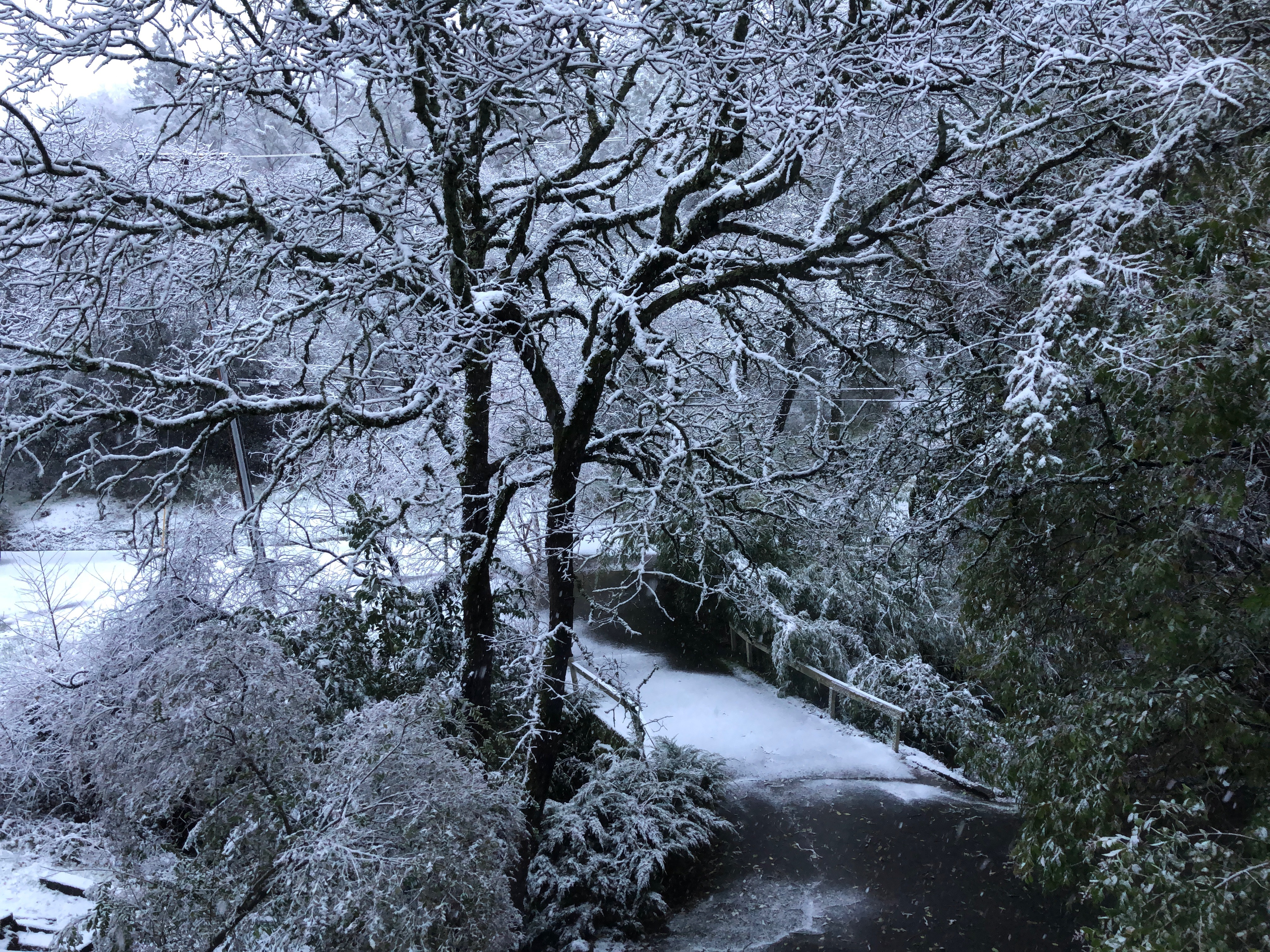
Snow on the ground, Auburn, Placer County, California
ca usa water rock moss auburn falls trail february 2010 americanriver sierranevadafoothills auburnsra blackholeofcalcuttafalls
Grotto of the Falls
auburn dji outdoor phantom4pro sacramento aerial airialview dreyerpicturescom drone river water california unitedstates us
Clementine Dam - California
auburn dji outdoor phantom4pro sacramento aerial dreyerpicturescom drone river water california unitedstates us view clementine storm weather
Clementine Dam - California
auburn dji outdoor phantom4pro sacramento aerial airialview dreyerpicturescom drone river water california unitedstates us
Clementine Dam - California
1928fordtrimotorairplane
IMG_2729 Inside the 1928 Ford Tri-motor
auburn dji outdoor phantom4pro sacramento aerial airialview dreyerpicturescom drone river water
American River - Forest Hill, CA
california landscape applegate coth abigfave impressedbeauty diamondclassphotographer flickrdiamond ef1635mmf28liiusm nejmantowicz dragondaggerphoto flickrclassique salonpolski
North Fork American River
americanriversouthfork california americanriver landscape autumn coloma reflections topazstudio lightroom6 canonef24105mmf4lisusm eldoradocounty waterreflections fall canon5dmarkiii sierranevadafoothills
Still Waters
fallcolor california landscape canon5dmarkiii lightroom6 canonef24105mmf4lisusm eldoradocounty autumn fall autumncolor topazstudio
Autumn Impressions
derelict california weatherbeaten abandoned landscape rustyandcrusty sierranevadafoothills rustycrusty canonef24105mmf4lisusm placercounty canon5dmarkiii topazstudio lightroom6 abandonedtractor auburn abandonedhomestead
40 Acres and a Mule
americanriver autumn canonef24105mmf4lisusm landscape bridge coloma sierranevadafoothills autumncolors lightroom6 topazstudio eldoradocounty california fall canon5dmarkiii colomabridge
Coloma Bridge
americanriver california landscape sierranevadafoothills eldoradocounty autumncolors lightroom6 autumn topazstudio canonef24105mmf4lisusm fall canon5dmarkiii coloma americanriversouthfork marshallgolddiscoverystatehistoricpark
Where Gold Was Found
california landscape sierranevadafoothills lightroom6 autumn topazstudio canonef24105mmf4lisusm fall canon5dmarkiii cronanranch eldoradocounty
A Crooked Mile (HFF)
greenwoodcreekriveraccess greenwoodcreek southforkamericanriver river creek eldoradocounty goldcountry water california ca usa lotus trail nature landscape hill mountain
Greenwood Creek River Access
colomaschoolhouse coloma schoolhouse california ca usa building eldoradocounty fence house landscape town countryside goldcountry
Coloma Schoolhouse
fallcolor autumn marshallgolddiscoverystatehistoricpark sierranevadafoothills coloma california canonef24105mmf4lisusm lightroom6 canon5dmarkiii eldoradocounty topazstudio fall autumncolor landscape
Spreading Out (HFF)
california ca cool house goldcountry usa unitedstates grass landscape town
A cool house in Cool, California
northerncalifornia landscape nikon d800
Foresthill Bridge
ranch northerncalifornia coloma eldoradocounty highway49 ranchland canong11 lightroom4 topazsw
Forty Acres and a Mule
winter northerncalifornia coloma eldoradocounty sierranevadafoothills canon7d americanriversouthfork canon1585mmusmis lightroom4 topazsw
A Winter Morning Along the South Fork of the American River
velvia landscape filmsimulation fuji jpgedit xt3 barn fujifilm auburn
DSCF0370.jpg
velvia landscape filmsimulation fuji jpgedit xt3 barn fujifilm auburn
DSCF0376.jpg
california northerncalifornia landscape nikon d800 cloudsstormssunsetssunrises
_ADS3092.jpg
auburn dji outdoor phantom4pro sacramento aerial airialview dreyerpicturescom drone river water california unitedstates us
Clementine Dam - California
california road county street old trip travel trees people usa white house snow tree tourism home nature sign rural canon way landscape wooden highway day driving post image scenic roadtrip scene tourist clean direction lane 7d roadsign welcome narrow cloudscape placer colfax f4l 24105mm
Welcome Lane 6765