Elevation of Rabbit Trail Rd, Leoma, TN, USA
Location: United States > Tennessee > Lawrence County > Leoma >
Longitude: -87.330105
Latitude: 35.078833
Elevation: 284m / 932feet
Barometric Pressure: 98KPa
Elevation Map:
Satellite Map:
Related Photos:

Sunday Sunrise. Well, soon after sunrise.

Swinging Bridge over East Fork Sugar Creek

Minor Hill, TN

Minor Hill, TN

Good Morning, Sun!
CFG_20100409_-13.jpg

Minor Hill, Tennessee

Genetically modified and government subsidized, but still makes for a good photo.

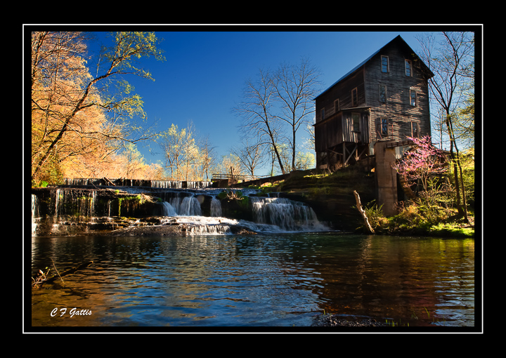
The new Lawrenceburg waterworks

Retreating Storm Clouds

A Sunday Sunrise

Breaking Foggie Daylight

After Time

Lexington, Al
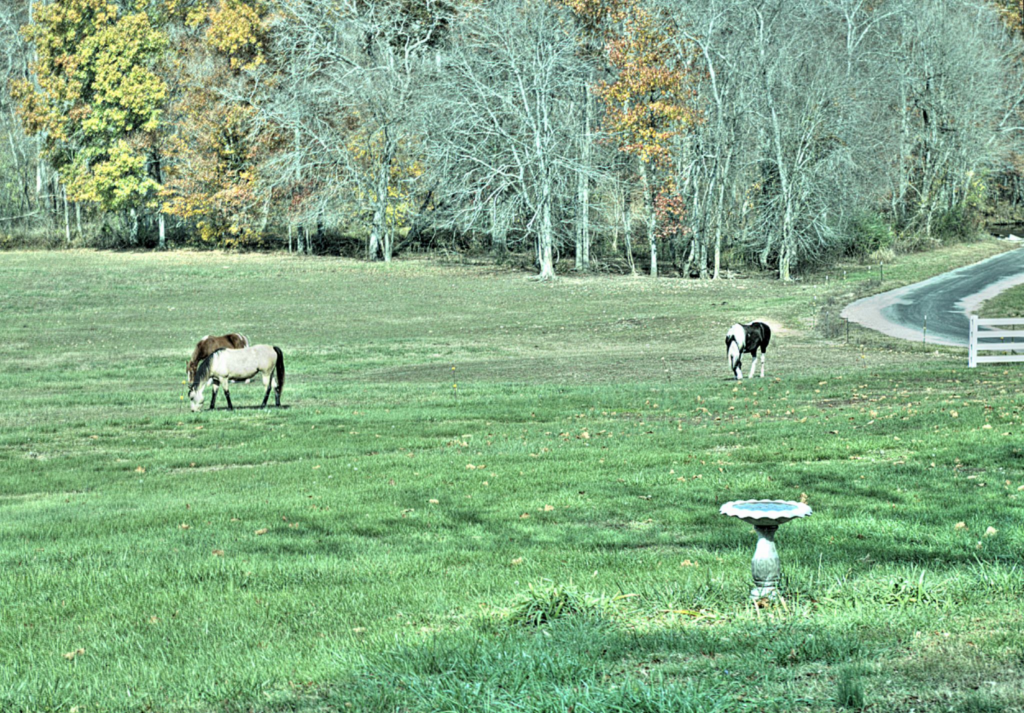
God's Creatures

God's Creatures

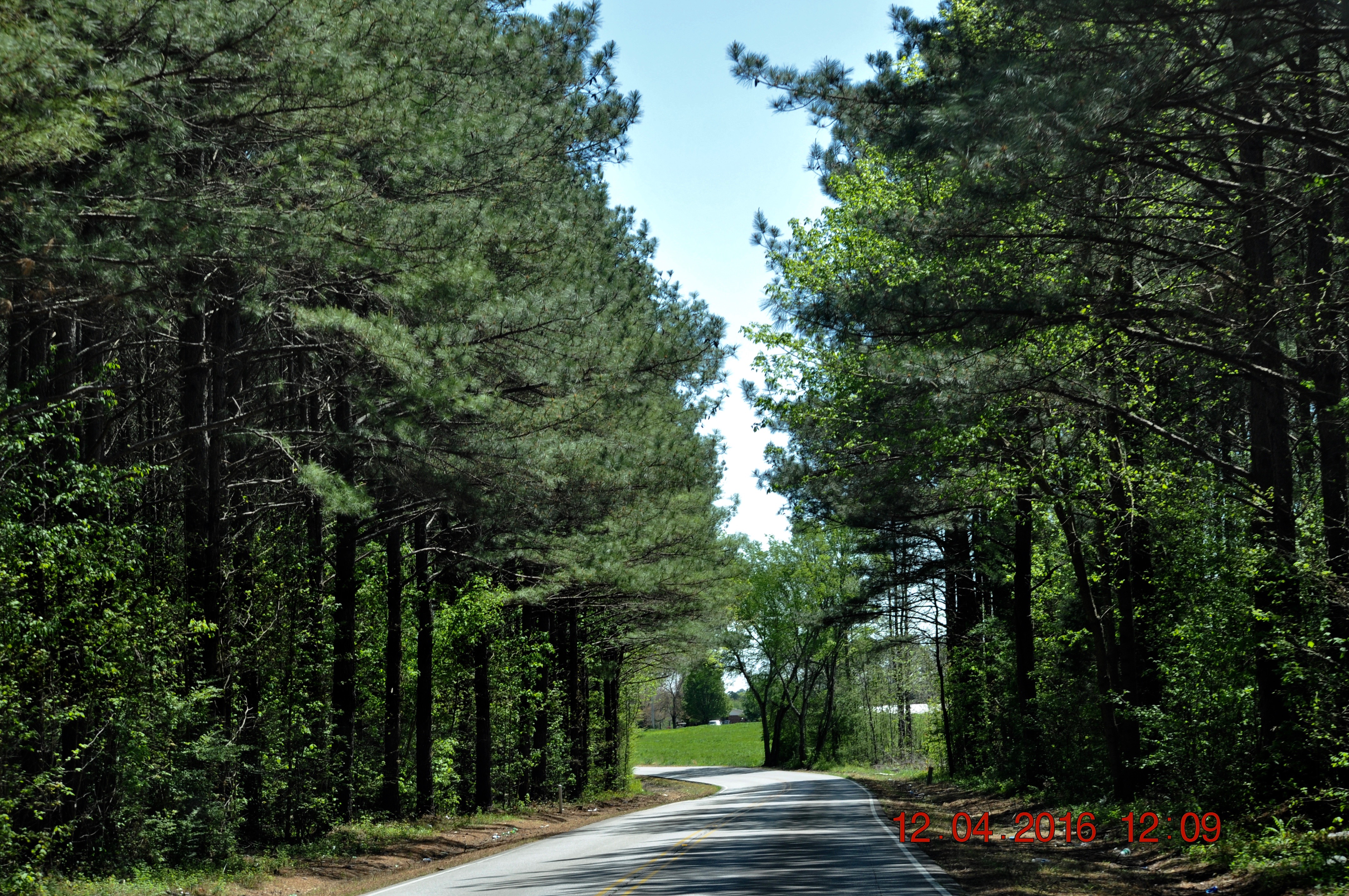
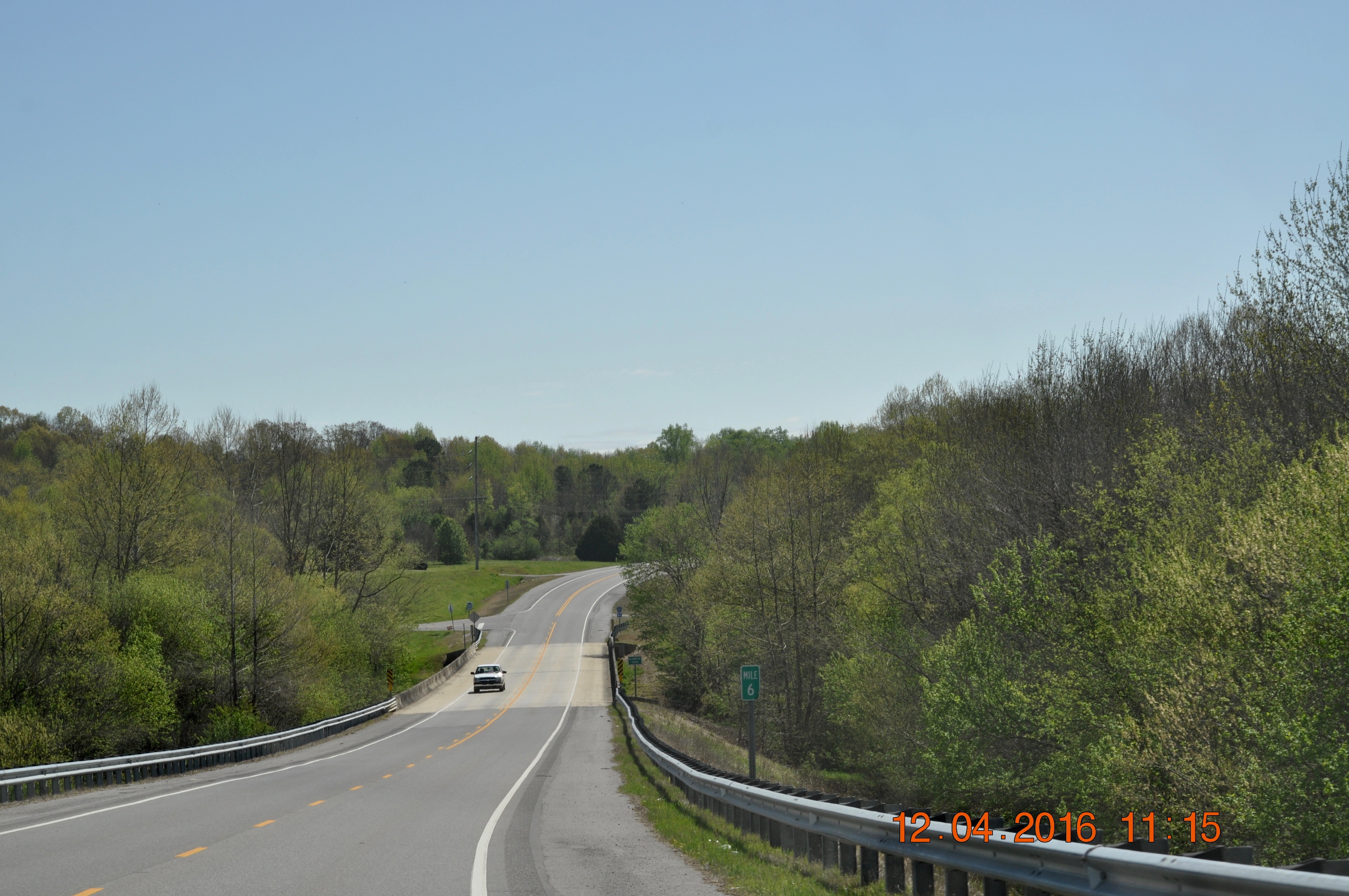
Traveling Hwy 64

Traveling East on hwy 64 toward Elkmont Al
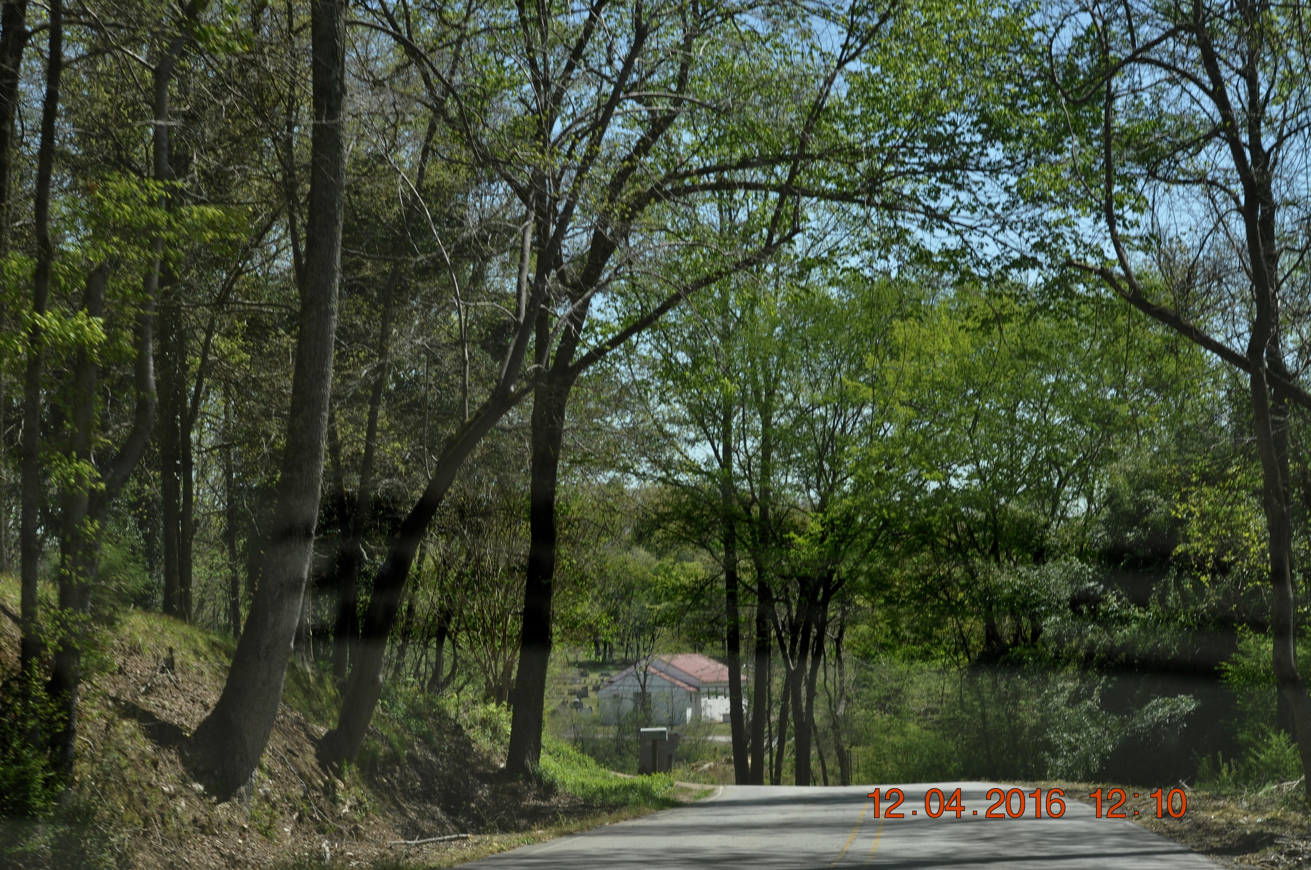
Traveling Hwy 89 toward Elkmont Al
Traveling Hwy 89 toward Elkmont Al
Traveling East on hwy 64 toward Elkmont Al
Topographic Map of Rabbit Trail Rd, Leoma, TN, USA
Find elevation by address:

Places near Rabbit Trail Rd, Leoma, TN, USA:
Mockerson Rd, Leoma, TN, USA
9 Killen Branch Rd, Loretto, TN, USA
355 Old Florence Pulaski Rd
100 Concord Rd
Co Rd 89, Lexington, AL, USA
Loretto
Peach Rd, Minor Hill, TN, USA
Old Mill Rd, Lexington, AL, USA
Lexington
Anderson
191 Mt Nebo Rd
Co Rd, Killen, AL, USA
Mount Nebo
Westpoint
Co Rd 33, Killen, AL, USA
Co Rd 47, Florence, AL, USA
Co Rd, Rogersville, AL, USA
10358 Co Rd 92
AL-, Rogersville, AL, USA
Elgin
Recent Searches:
- Elevation of 4 Vale Rd, Sheffield S3 9QX, UK
- Elevation of Keene Point Drive, Keene Point Dr, Grant, AL, USA
- Elevation of State St, Zanesville, OH, USA
- Elevation of Austin Stone Dr, Haslet, TX, USA
- Elevation of Bydgoszcz, Poland
- Elevation of Bydgoszcz, Poland
- Elevation of Calais Dr, Del Mar, CA, USA
- Elevation of Placer Mine Ln, West Jordan, UT, USA
- Elevation of E 63rd St, New York, NY, USA
- Elevation of Elk City, OK, USA