Elevation of Co Rd 89, Lexington, AL, USA
Location: United States > Alabama > Lauderdale County > Lexington >
Longitude: -87.300141
Latitude: 34.973995
Elevation: 242m / 794feet
Barometric Pressure: 98KPa
Elevation Map:
Satellite Map:
Related Photos:

Sunset on the Tennessee River

Working on First Creek Bridge with sun in face

Swinging Bridge over East Fork Sugar Creek

Minor Hill, TN

Minor Hill, TN

Alabama Sunset (Lexington, AL)

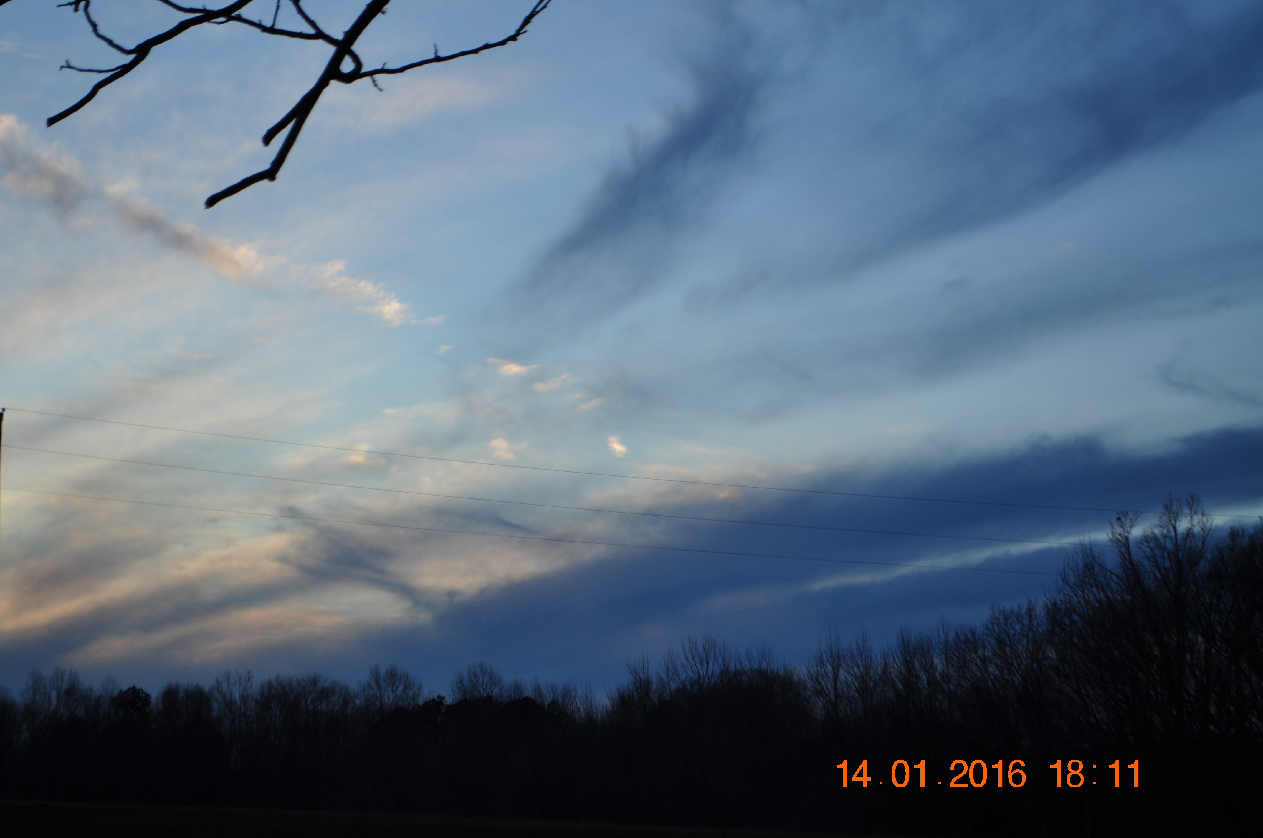
Sunset & dark clouds

Minor Hill, Tennessee

2016 January 6, Sunrise, Jets, Clouds

Genetically modified and government subsidized, but still makes for a good photo.
2016 January 6, Sunrise, Jets, Clouds

V Formation

Alabama Sunset (Lexington, AL)

Rural Alabama Sunset

Sunset in Alabama the Beautiful.
2016 January 6, Sunrise, Jets, Clouds

Lexington, Al

Horses grazing
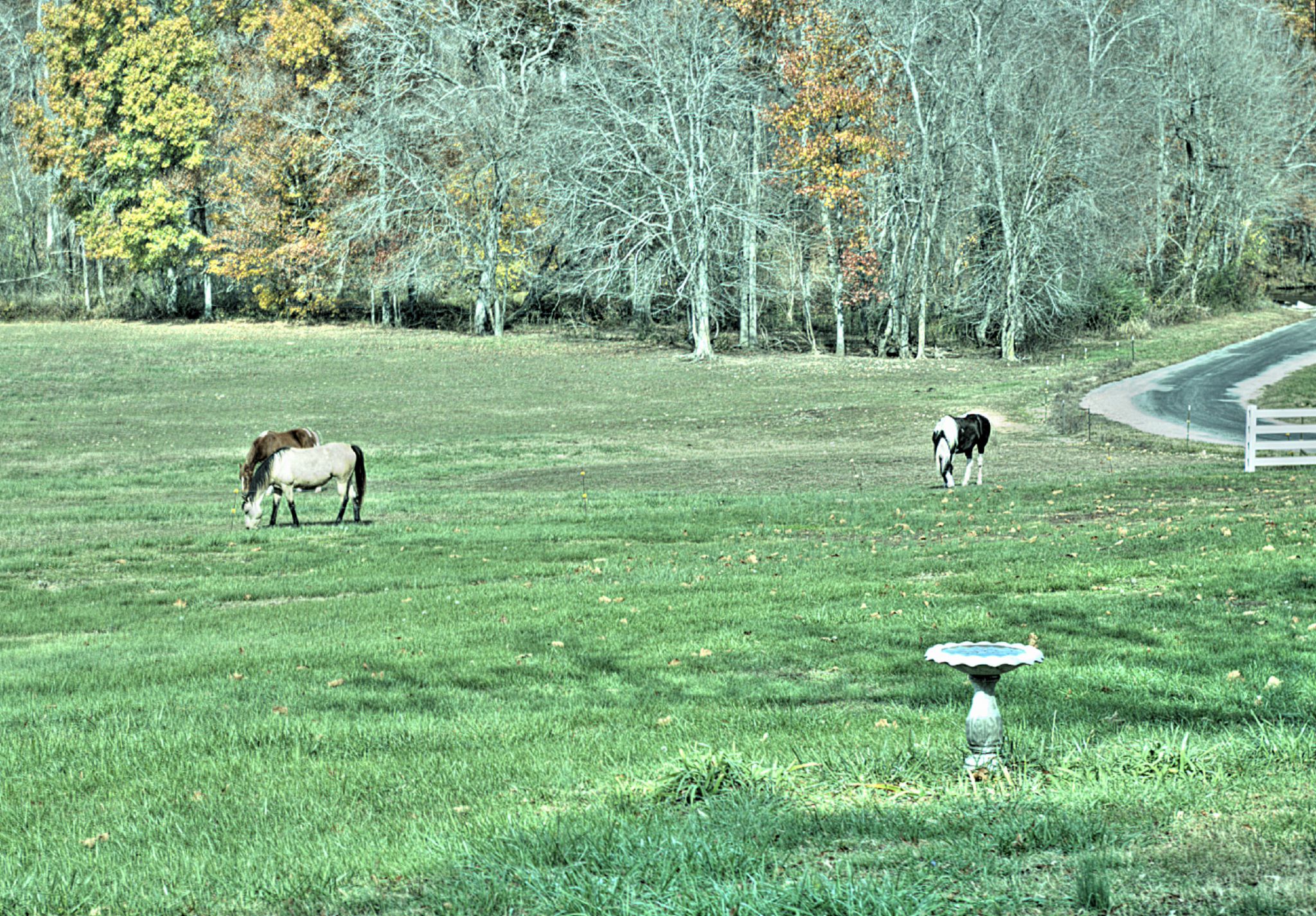
God's Creatures

God's Creatures

Traveling Hwy 64
Topographic Map of Co Rd 89, Lexington, AL, USA
Find elevation by address:

Places near Co Rd 89, Lexington, AL, USA:
Anderson
Lexington
Old Mill Rd, Lexington, AL, USA
10358 Co Rd 92
Co Rd, Rogersville, AL, USA
115 Rose St
Rogersville
21 Co Rd 567
Co Rd 33, Killen, AL, USA
Bradford Court
AL-, Rogersville, AL, USA
Elgin
627 Tipton Rd
Co Rd, Rogersville, AL, USA
County Road 570
US-72, Killen, AL, USA
Co Rd, Rogersville, AL, USA
20 Co Rd, Killen, AL, USA
216 Meraki Way
Co Rd 47, Florence, AL, USA
Recent Searches:
- Elevation of Spaceport America, Co Rd A, Truth or Consequences, NM, USA
- Elevation of Warwick, RI, USA
- Elevation of Fern Rd, Whitmore, CA, USA
- Elevation of 62 Abbey St, Marshfield, MA, USA
- Elevation of Fernwood, Bradenton, FL, USA
- Elevation of Felindre, Swansea SA5 7LU, UK
- Elevation of Leyte Industrial Development Estate, Isabel, Leyte, Philippines
- Elevation of W Granada St, Tampa, FL, USA
- Elevation of Pykes Down, Ivybridge PL21 0BY, UK
- Elevation of Jalan Senandin, Lutong, Miri, Sarawak, Malaysia