Elevation of Lexington, AL, USA
Location: United States > Alabama > Lauderdale County >
Longitude: -87.371131
Latitude: 34.96925
Elevation: 234m / 768feet
Barometric Pressure: 99KPa
Elevation Map:
Satellite Map:
Related Photos:
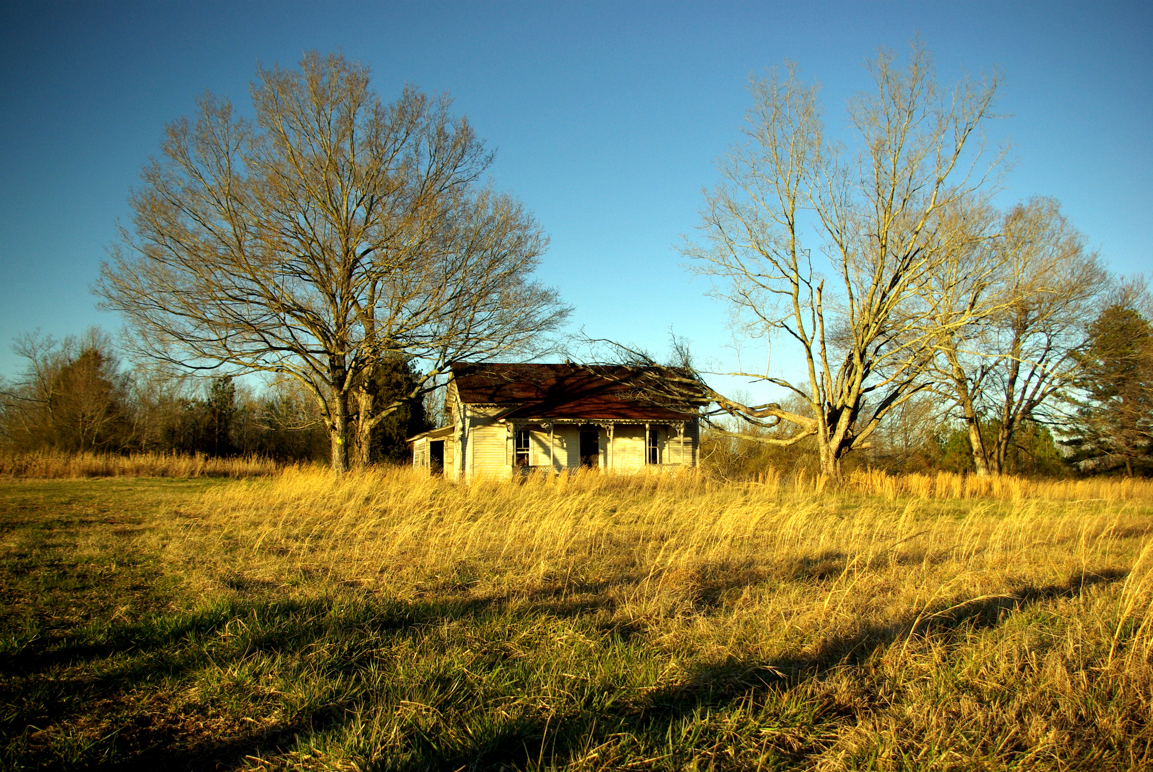
Minor Hill, TN
Minor Hill, TN

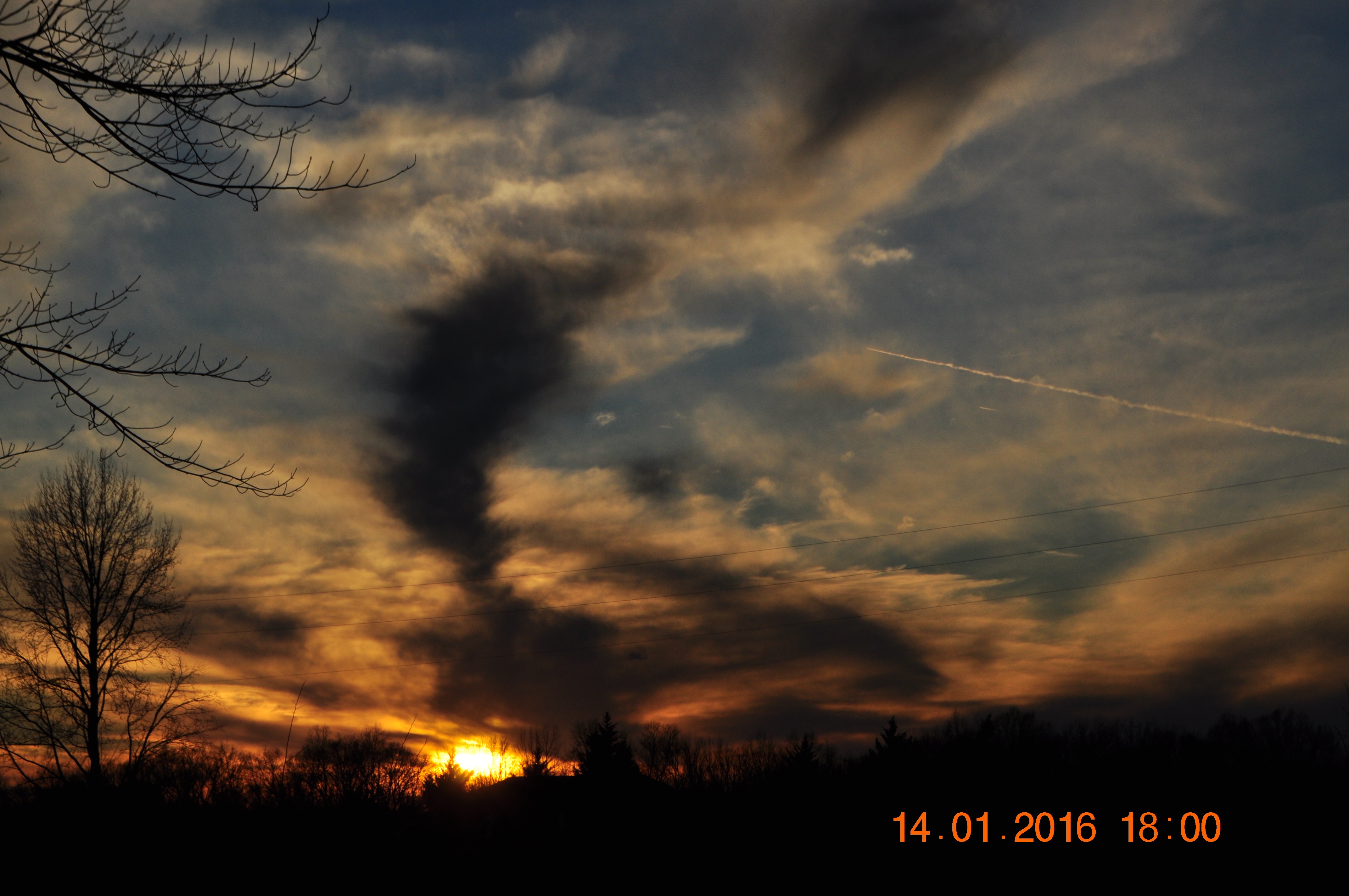
Alabama Sunset (Lexington, AL)

Good Morning, Sun!
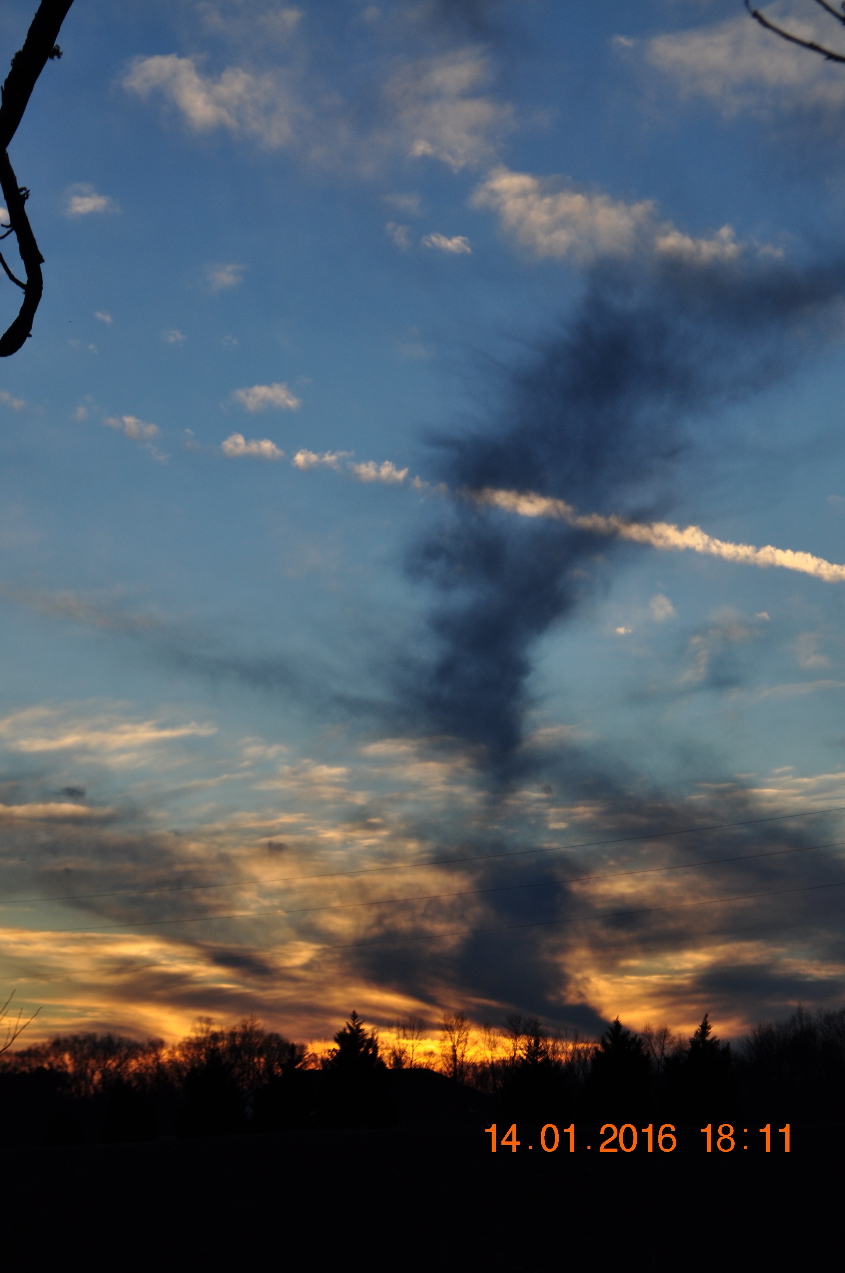
Sunset & dark clouds
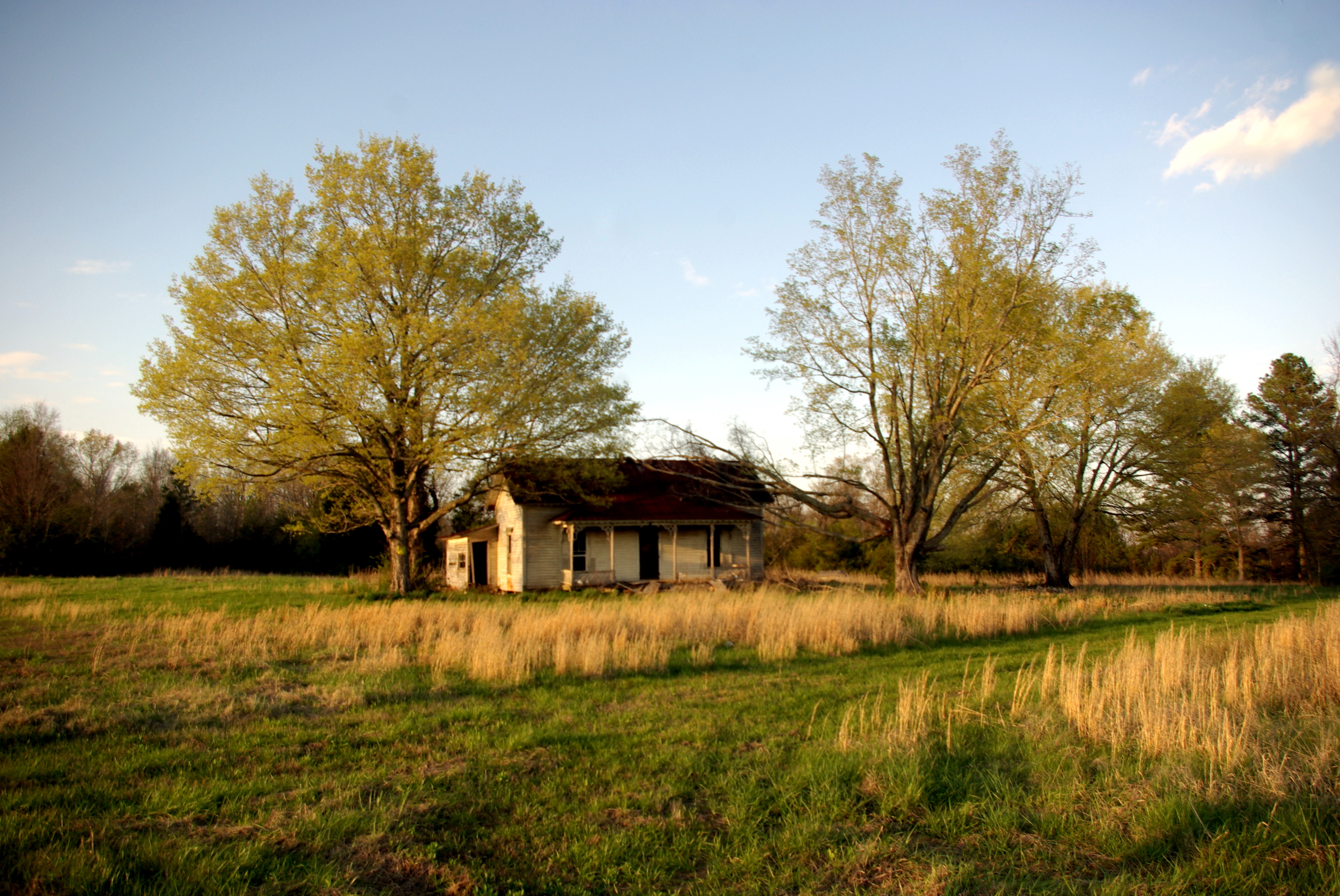
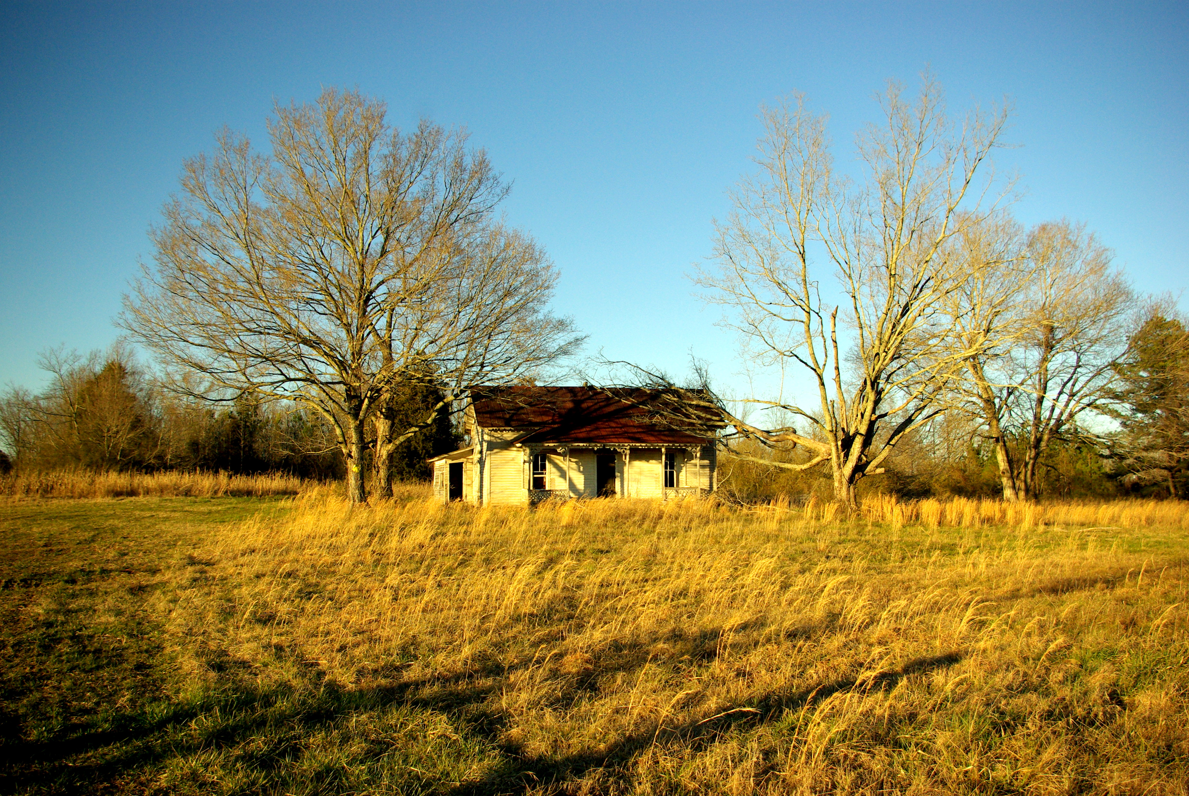
Minor Hill, Tennessee
2016 January 6, Sunrise, Jets, Clouds
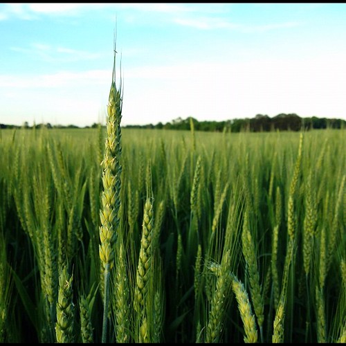
Genetically modified and government subsidized, but still makes for a good photo.
2016 January 6, Sunrise, Jets, Clouds

Retreating Storm Clouds

Sunday Sunrise. Well, soon after sunrise.

V Formation

Alabama Sunset (Lexington, AL)

Sunset on the Tennessee River

2016 January 6 Sunrise, Clouds, Jets

2015 December 28 Sunrise

Storm clouds moving thru while the sun is trying to peek through

A Sunday Sunrise

2016 January 6 Sunrise, Clouds, Jets
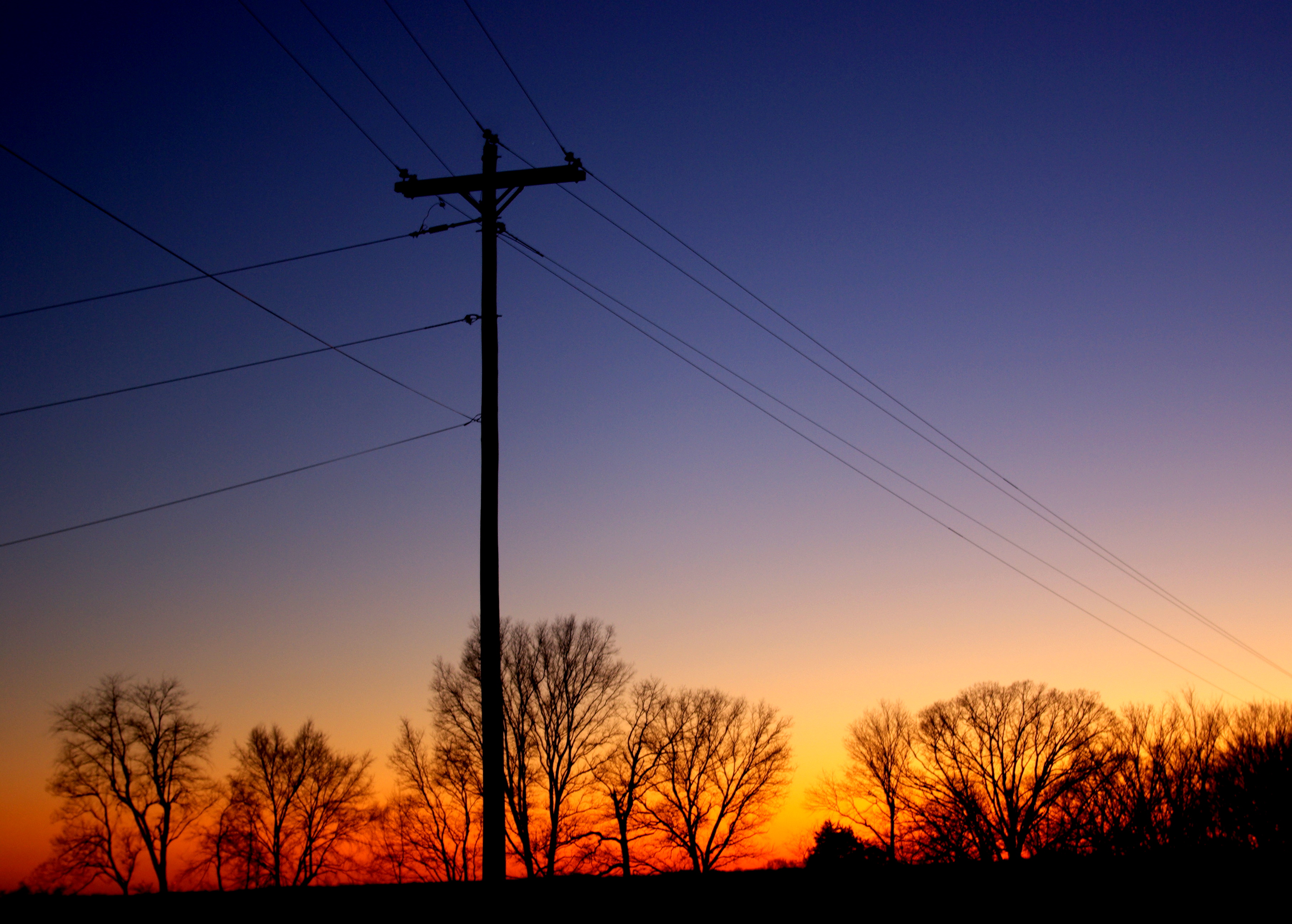
Rural Alabama Sunset

Storm clouds moving thru while the sun is trying to peek through
Topographic Map of Lexington, AL, USA
Find elevation by address:

Places in Lexington, AL, USA:
Places near Lexington, AL, USA:
Old Mill Rd, Lexington, AL, USA
Co Rd 89, Lexington, AL, USA
Co Rd 33, Killen, AL, USA
Co Rd, Rogersville, AL, USA
Anderson
AL-, Rogersville, AL, USA
Elgin
US-72, Killen, AL, USA
Co Rd 47, Florence, AL, USA
216 Meraki Way
115 Rose St
10358 Co Rd 92
20 Co Rd, Killen, AL, USA
Co Rd, Rogersville, AL, USA
Rogersville
Bradford Court
21 Co Rd 567
627 Tipton Rd
Lauderdale County, Killen, AL, USA
J C Mauldin Hwy, Killen, AL, USA
Recent Searches:
- Elevation of Elwyn Dr, Roanoke Rapids, NC, USA
- Elevation of Congressional Dr, Stevensville, MD, USA
- Elevation of Bellview Rd, McLean, VA, USA
- Elevation of Stage Island Rd, Chatham, MA, USA
- Elevation of Shibuya Scramble Crossing, 21 Udagawacho, Shibuya City, Tokyo -, Japan
- Elevation of Jadagoniai, Kaunas District Municipality, Lithuania
- Elevation of Pagonija rock, Kranto 7-oji g. 8"N, Kaunas, Lithuania
- Elevation of Co Rd 87, Jamestown, CO, USA
- Elevation of Tenjo, Cundinamarca, Colombia
- Elevation of Côte-des-Neiges, Montreal, QC H4A 3J6, Canada