Elevation of Rabbit Ridge, Bee Branch, AR, USA
Location: United States > Arkansas > Van Buren County > Barnett Township >
Longitude: -92.459732
Latitude: 35.399044
Elevation: 198m / 650feet
Barometric Pressure: 99KPa
Elevation Map:
Satellite Map:
Related Photos:
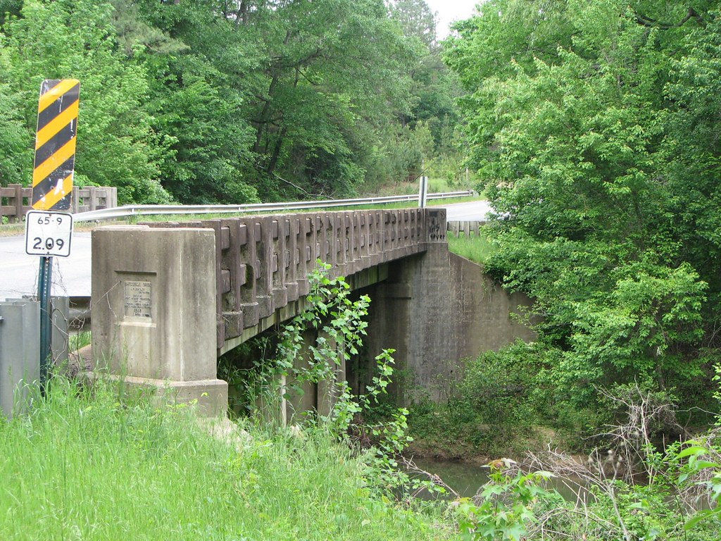
Batesville Creek-Side View

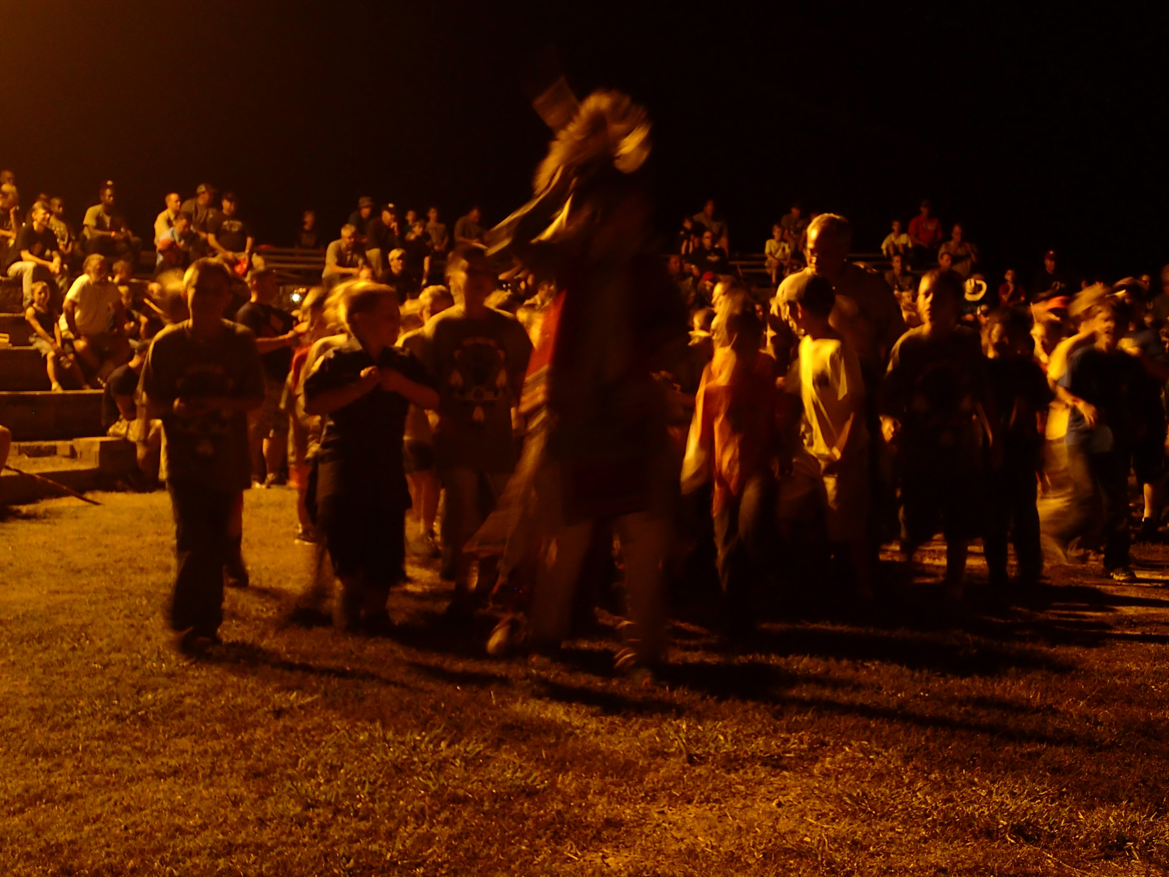
Herd Approaching

Arkansas Sunset
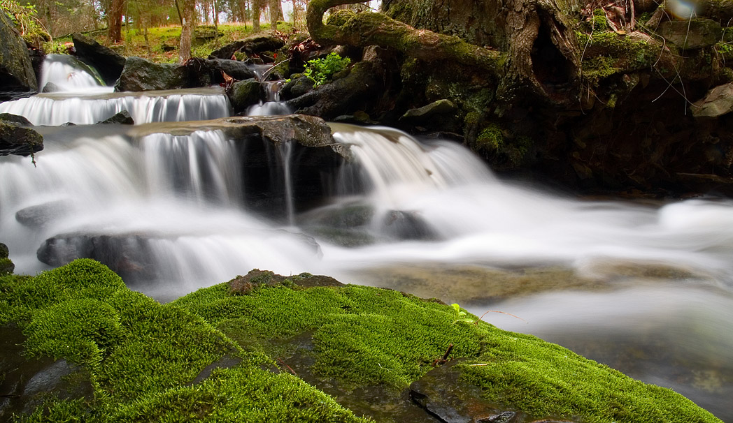
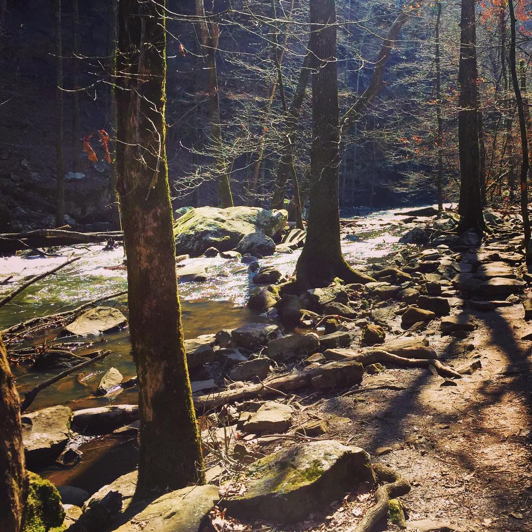
mossy creek

2013-10-13 at 08-29-44.jpg
Southern Ozark Landscape (Conway County, Arkansas)
Center Ridge, Arkansas
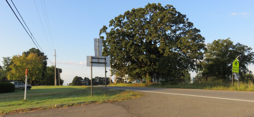
Center Ridge, Arkansas
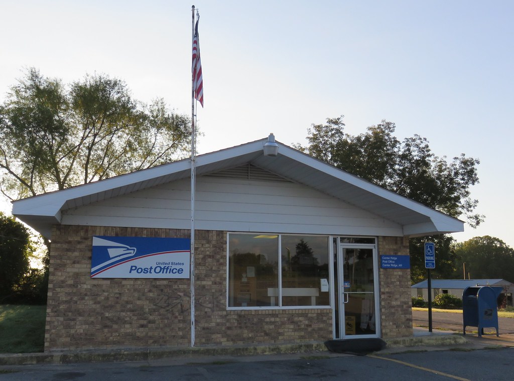
Post Office 72027 (Center Ridge, Arkansas)
#cedar #creek on #petitjean #mountain #statepark
2013-10-13 at 10-55-34.jpg
2013-10-13 at 10-55-04.jpg
2013-10-13 at 10-53-03.jpg

2013-10-13 at 08-29-37.jpg
2013-10-13 at 07-35-02.jpg
2013-10-13 at 07-34-47.jpg
2013-10-13 at 07-16-54.jpg
2013-10-12 at 20-32-05.jpg
2013-10-12 at 20-03-07.jpg

2013-10-12 at 19-58-32.jpg
2013-10-12 at 19-58-15.jpg
2013-10-12 at 19-54-45.jpg
2013-10-12 at 19-54-40.jpg
Topographic Map of Rabbit Ridge, Bee Branch, AR, USA
Find elevation by address:

Places near Rabbit Ridge, Bee Branch, AR, USA:
Barnett Township
Walker Township
2013 Ranch Rd
Damascus
Bradley Township
43 Leonard Loop, Damascus, AR, USA
Bee Branch
Hwy 65 S, Bee Branch, AR, USA
51 Batesville Mountain Rd
Julie Hills Drive
49 Batesville Mountain Rd
177 Norcliff Rd
1437 Co Rd 24
AR-, Damascus, AR, USA
Batesville Mountain Road
Batesville Mountain Road
AR-92, Bee Branch, AR, USA
Cargile Township
Cadron Township
147 Old Texas Rd
Recent Searches:
- Elevation of Groblershoop, South Africa
- Elevation of Power Generation Enterprises | Industrial Diesel Generators, Oak Ave, Canyon Country, CA, USA
- Elevation of Chesaw Rd, Oroville, WA, USA
- Elevation of N, Mt Pleasant, UT, USA
- Elevation of 6 Rue Jules Ferry, Beausoleil, France
- Elevation of Sattva Horizon, 4JC6+G9P, Vinayak Nagar, Kattigenahalli, Bengaluru, Karnataka, India
- Elevation of Great Brook Sports, Gold Star Hwy, Groton, CT, USA
- Elevation of 10 Mountain Laurels Dr, Nashua, NH, USA
- Elevation of 16 Gilboa Ln, Nashua, NH, USA
- Elevation of Laurel Rd, Townsend, TN, USA