Elevation of Barnett Township, AR, USA
Location: United States > Arkansas > Van Buren County >
Longitude: -92.410990
Latitude: 35.3994356
Elevation: 177m / 581feet
Barometric Pressure: 99KPa
Elevation Map:
Satellite Map:
Related Photos:
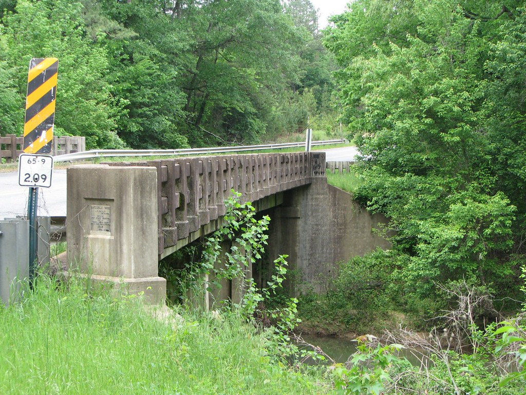
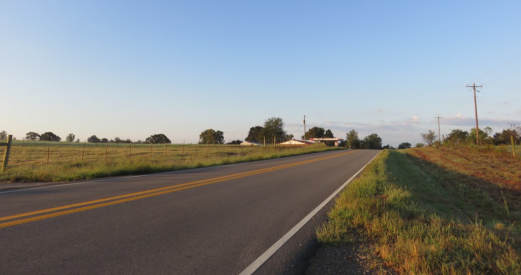
Batesville Creek-Side View
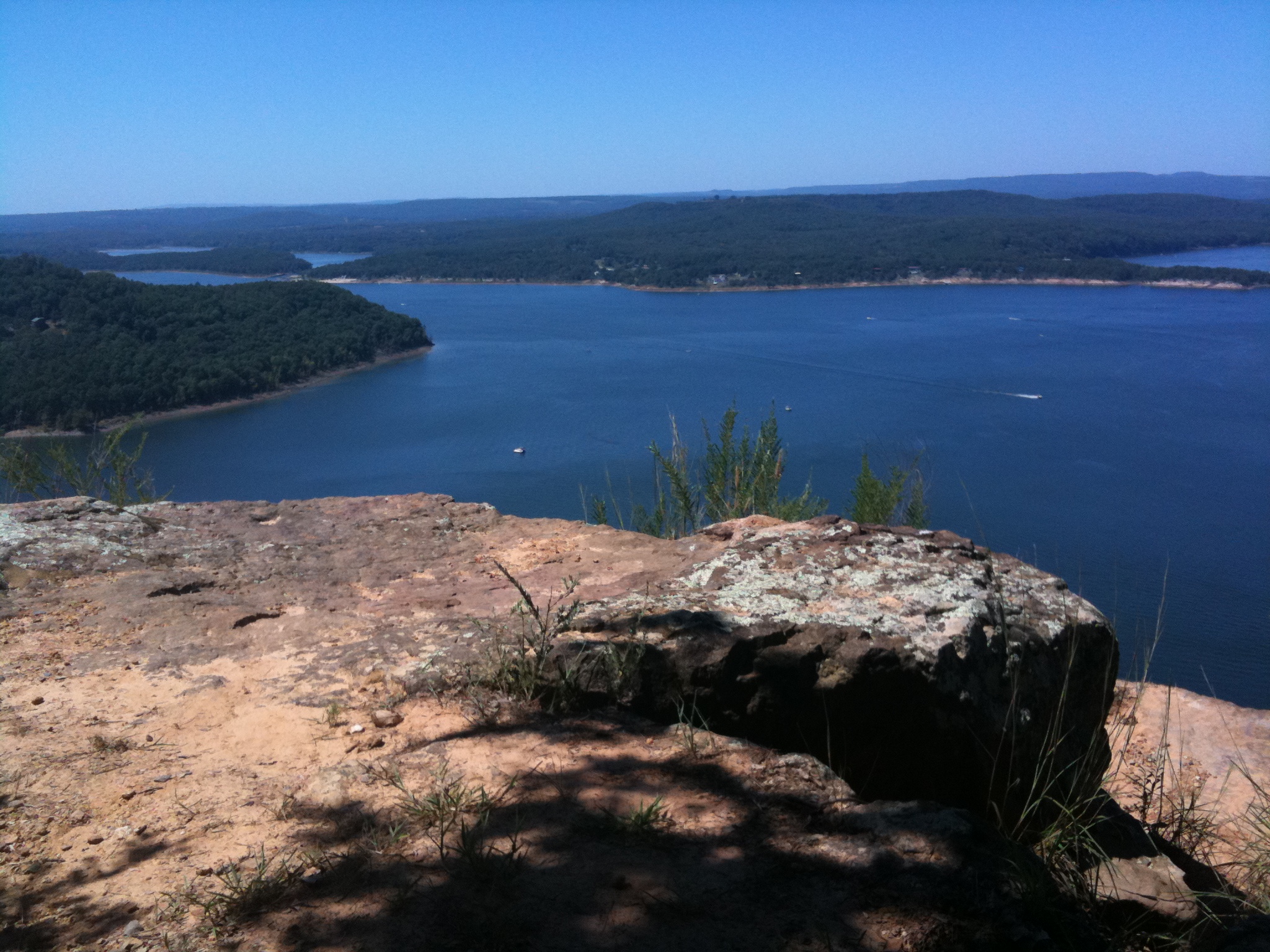
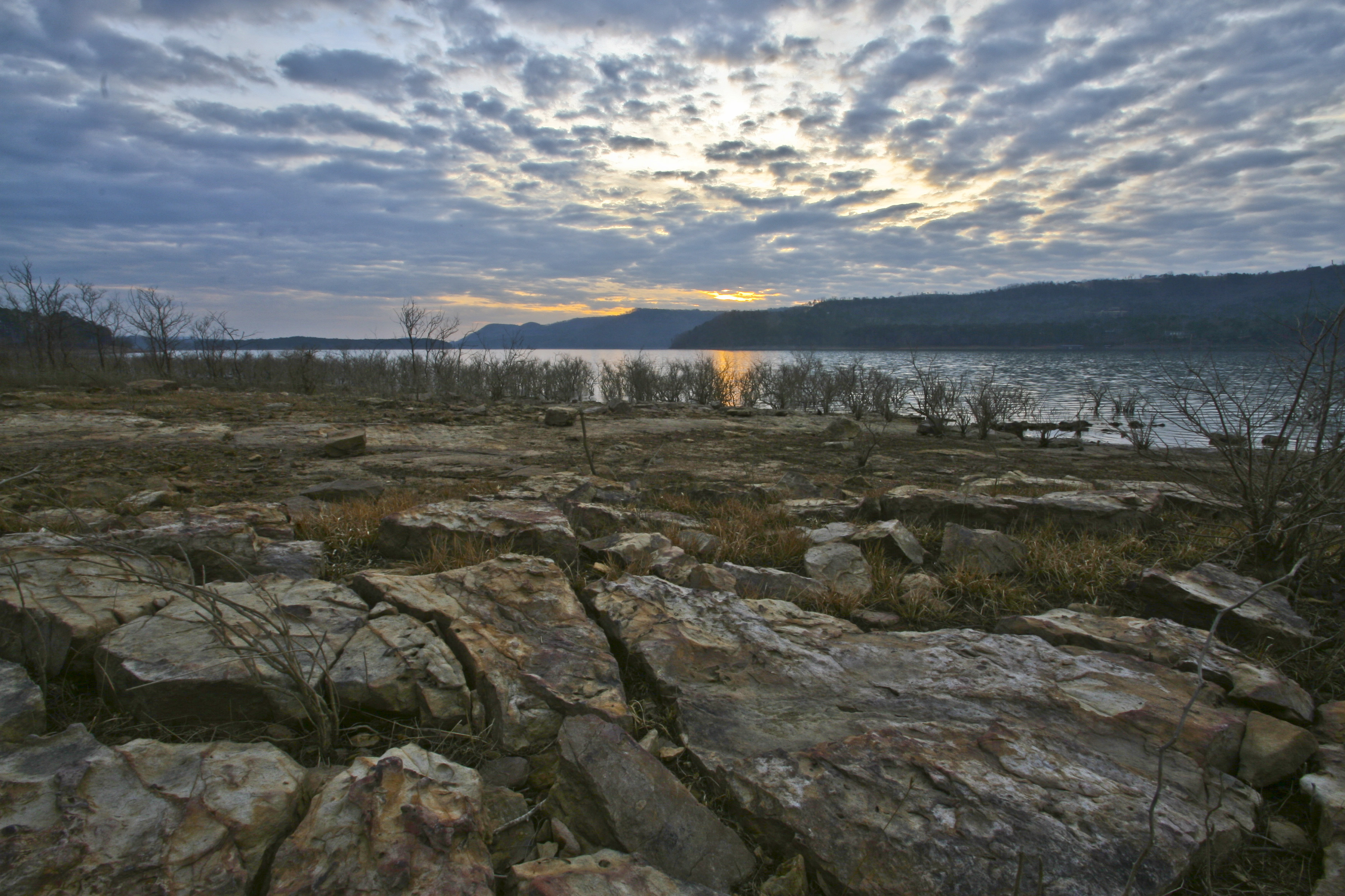
Greer's Ferry Lake
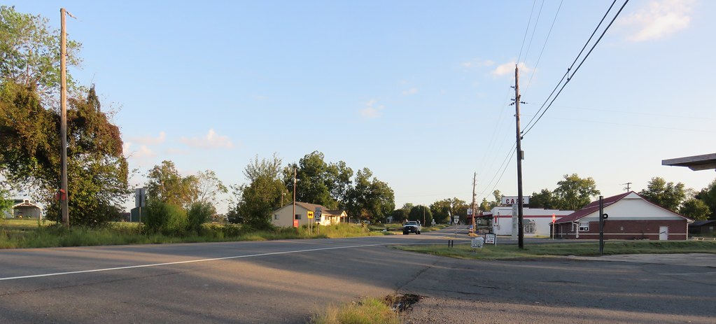
aaajh444 023
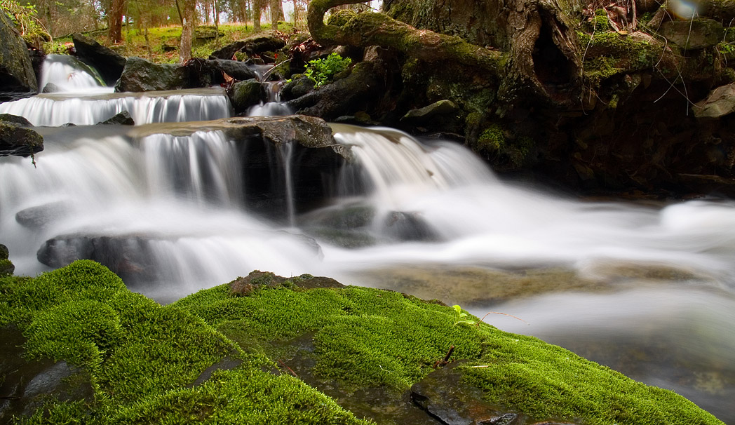
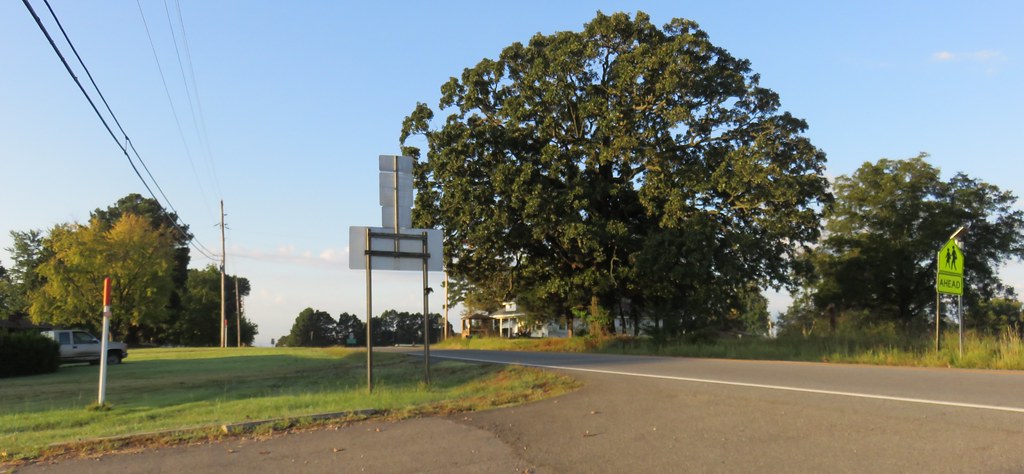
mossy creek
Southern Ozark Landscape (Conway County, Arkansas)

Herd Approaching

Arkansas Sunset

2013-10-13 at 08-29-44.jpg
Center Ridge, Arkansas
Center Ridge, Arkansas
Choctaw Rec Area Sunrise
Topographic Map of Barnett Township, AR, USA
Find elevation by address:

Places in Barnett Township, AR, USA:
Places near Barnett Township, AR, USA:
Damascus
Bradley Township
Rabbit Ridge, Bee Branch, AR, USA
Bee Branch
Hwy 65 S, Bee Branch, AR, USA
2013 Ranch Rd
Walker Township
51 Batesville Mountain Rd
Julie Hills Drive
49 Batesville Mountain Rd
AR-, Damascus, AR, USA
43 Leonard Loop, Damascus, AR, USA
Batesville Mountain Road
Batesville Mountain Road
1437 Co Rd 24
AR-92, Bee Branch, AR, USA
177 Norcliff Rd
Cargile Township
Cadron Township
147 Old Texas Rd
Recent Searches:
- Elevation of Elwyn Dr, Roanoke Rapids, NC, USA
- Elevation of Congressional Dr, Stevensville, MD, USA
- Elevation of Bellview Rd, McLean, VA, USA
- Elevation of Stage Island Rd, Chatham, MA, USA
- Elevation of Shibuya Scramble Crossing, 21 Udagawacho, Shibuya City, Tokyo -, Japan
- Elevation of Jadagoniai, Kaunas District Municipality, Lithuania
- Elevation of Pagonija rock, Kranto 7-oji g. 8"N, Kaunas, Lithuania
- Elevation of Co Rd 87, Jamestown, CO, USA
- Elevation of Tenjo, Cundinamarca, Colombia
- Elevation of Côte-des-Neiges, Montreal, QC H4A 3J6, Canada