Elevation of Cadron Township, AR, USA
Location: United States > Arkansas > Van Buren County >
Longitude: -92.282738
Latitude: 35.4347898
Elevation: 246m / 807feet
Barometric Pressure: 98KPa
Elevation Map:
Satellite Map:
Related Photos:

View from the lake house
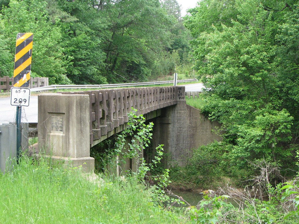
Batesville Creek-Side View

Herd Approaching

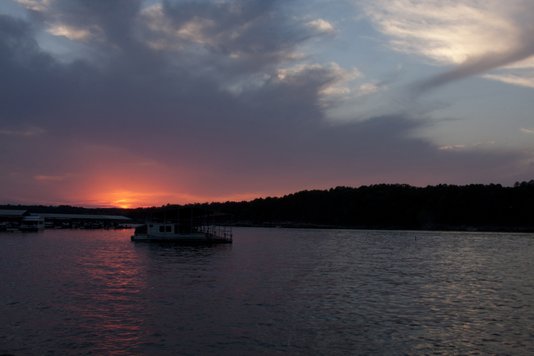
Arkansas Sunset
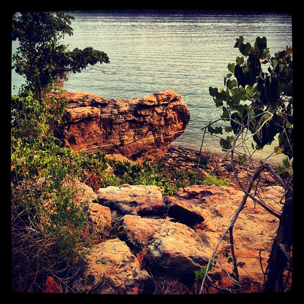
Greer's Ferry Lake Shoreline

Fairfield Bay Marina
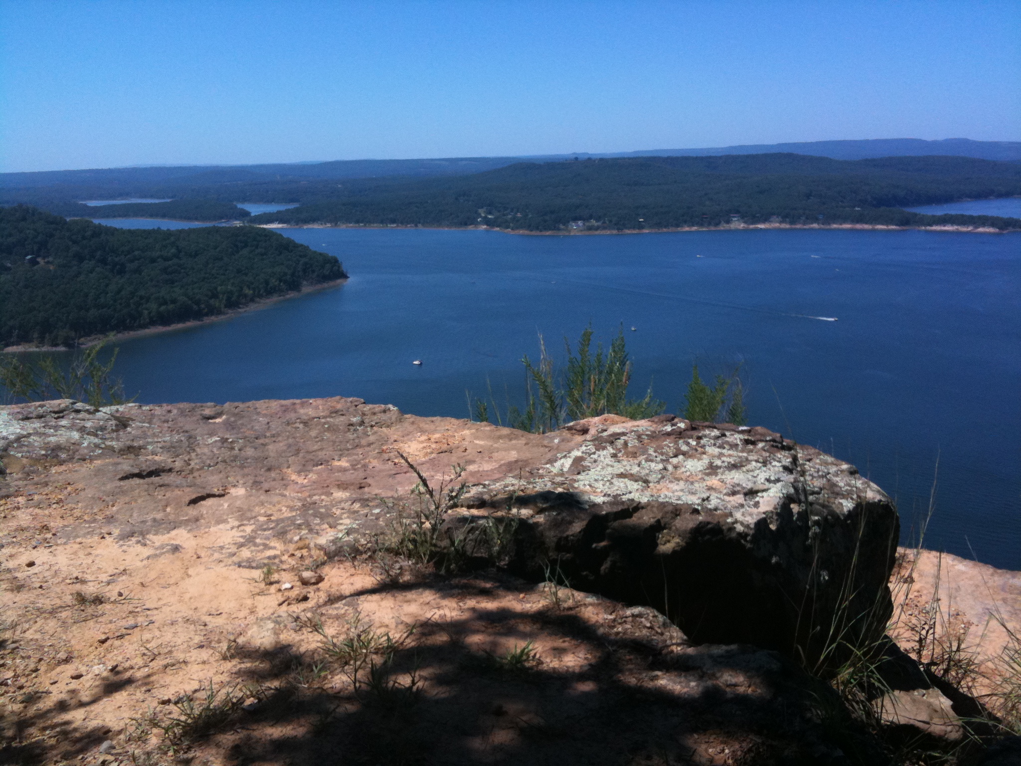
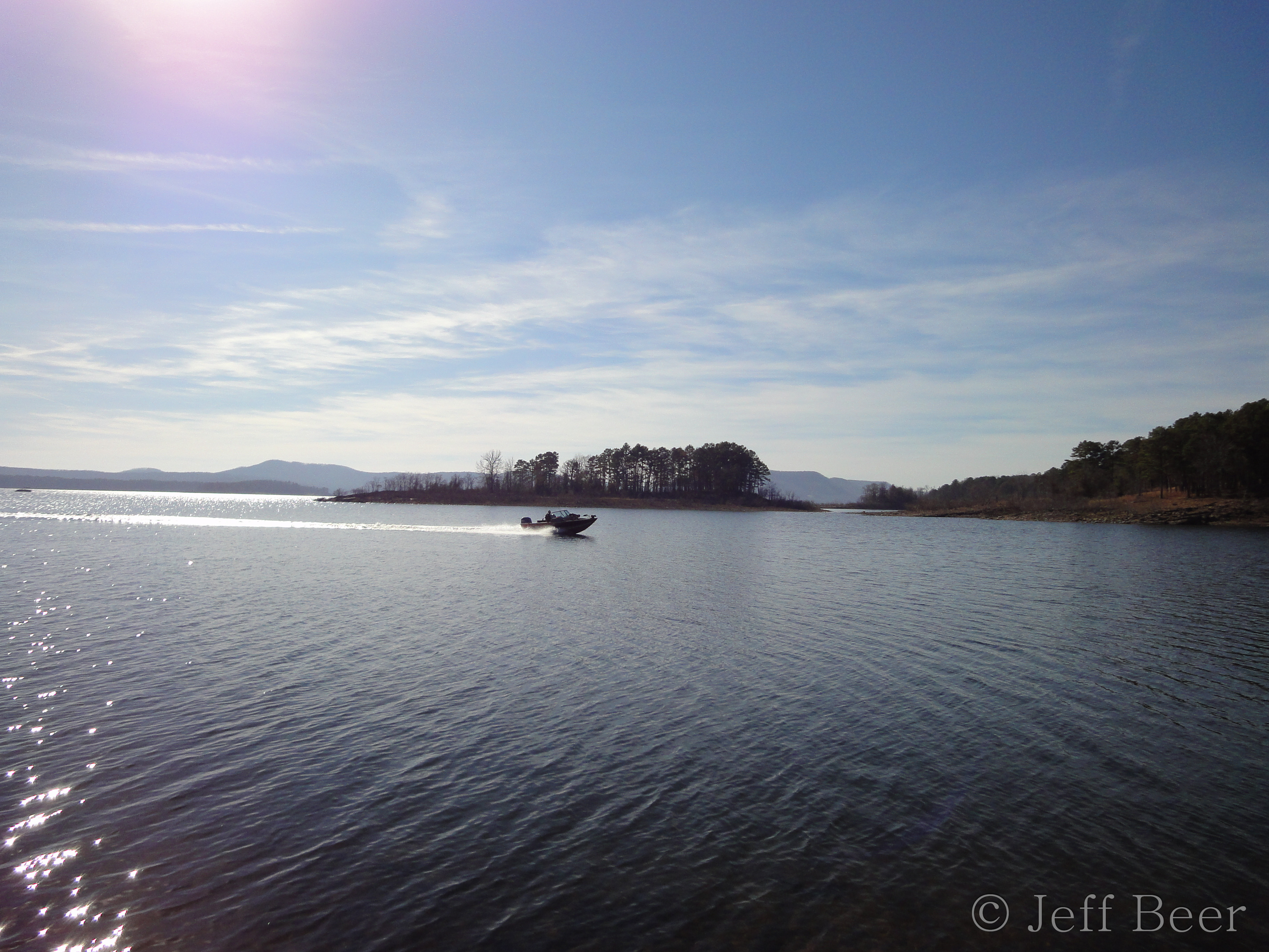
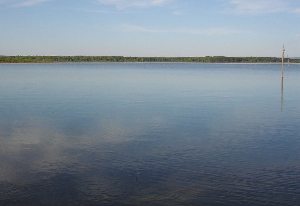
Greer's Ferry Lake
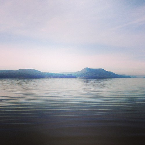
This weekend we took a ferry out on the lake to an mountain/island. It was a perfect opportunity for #whpfoggy
aaajh444 023
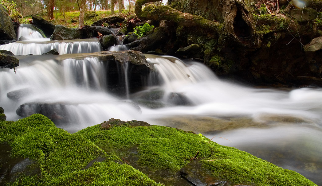
mossy creek
Greers Ferry Lake Arkansas (8 of 14).jpg
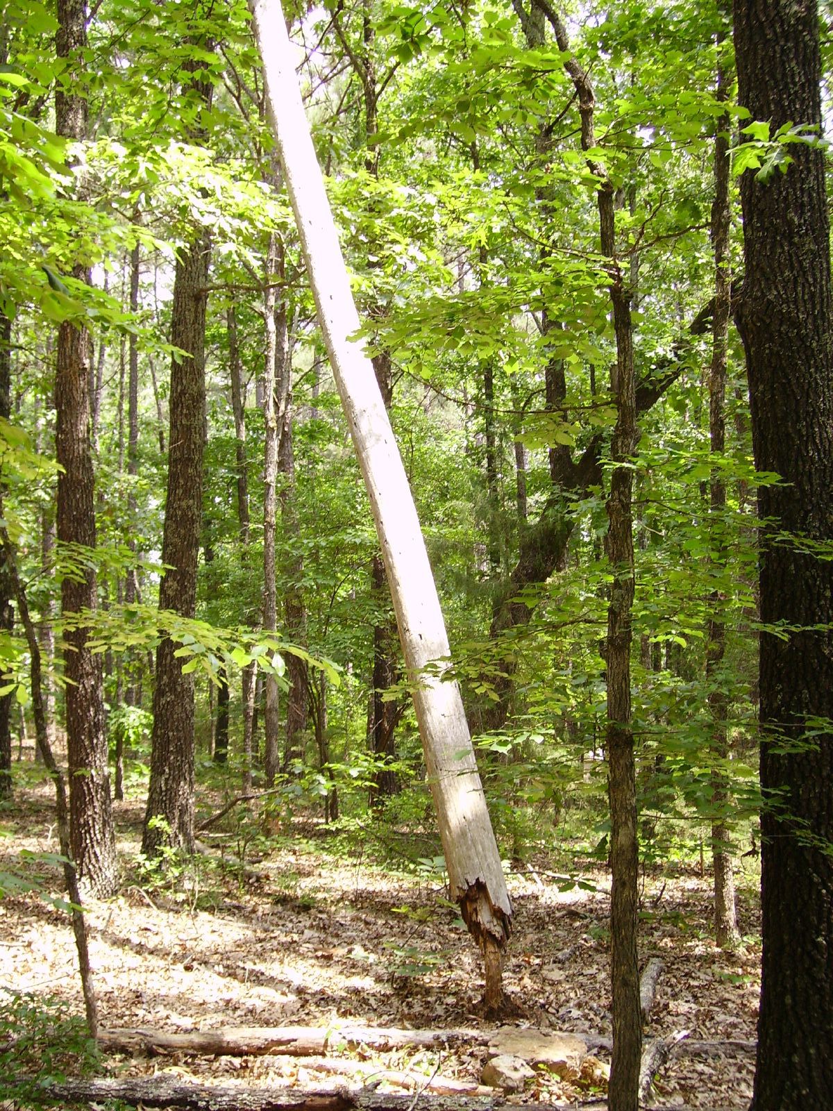
Strange tree
A Silent Evening @ Heber Springs, Arkansas
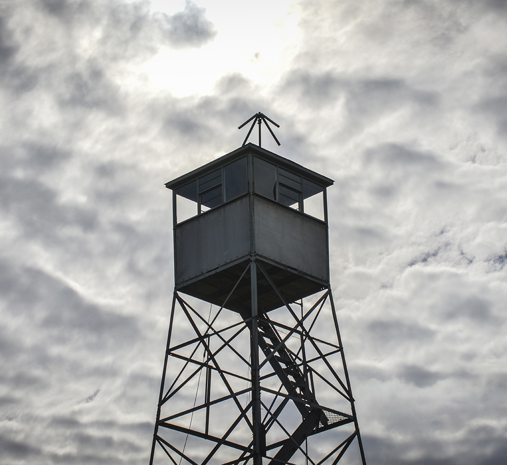
optimum conditions
Topographic Map of Cadron Township, AR, USA
Find elevation by address:

Places in Cadron Township, AR, USA:
Places near Cadron Township, AR, USA:
AR-, Quitman, AR, USA
Cargile Township
AR-92, Bee Branch, AR, USA
AR-, Damascus, AR, USA
Quitman
Center Post Township
Pryor Mountain Drive Circle
147 Old Texas Rd
49 Cedar Hill Dr
2930 Edgemont Rd
Batesville Mountain Road
Batesville Mountain Road
Julie Hills Drive
Hwy 65 S, Bee Branch, AR, USA
Bee Branch
South Cadron Township
1437 Co Rd 24
Bradley Township
1295 Cove Creek Rd
30 Mockingbird Ln
Recent Searches:
- Elevation of Elwyn Dr, Roanoke Rapids, NC, USA
- Elevation of Congressional Dr, Stevensville, MD, USA
- Elevation of Bellview Rd, McLean, VA, USA
- Elevation of Stage Island Rd, Chatham, MA, USA
- Elevation of Shibuya Scramble Crossing, 21 Udagawacho, Shibuya City, Tokyo -, Japan
- Elevation of Jadagoniai, Kaunas District Municipality, Lithuania
- Elevation of Pagonija rock, Kranto 7-oji g. 8"N, Kaunas, Lithuania
- Elevation of Co Rd 87, Jamestown, CO, USA
- Elevation of Tenjo, Cundinamarca, Colombia
- Elevation of Côte-des-Neiges, Montreal, QC H4A 3J6, Canada