Elevation of Räka, 93 Voxnabruk, Sweden
Location: Sweden > Gavleborg County > Räka >
Longitude: 15.4817216
Latitude: 61.3942107
Elevation: 202m / 663feet
Barometric Pressure: 99KPa
Elevation Map:
Satellite Map:
Related Photos:

Morning mood

Welcome!

Alva Olá

Betul ay

Emil Stensson

Besökare Samtidigt

Fadi sarkis

Besökare Samtidigt

Zinoviev Ivan

Helena lepistö

Iroshan premalal
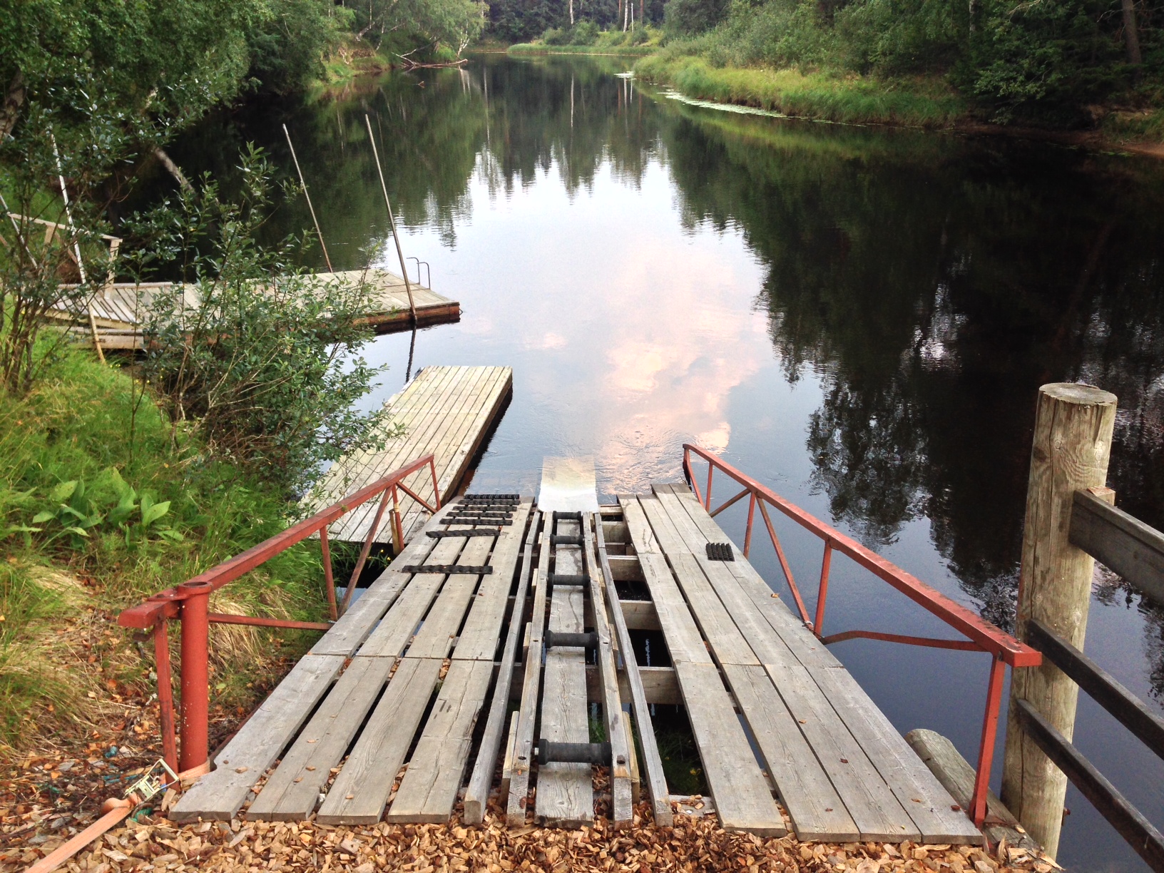
Kanu ramp

Fredrik & Caroline
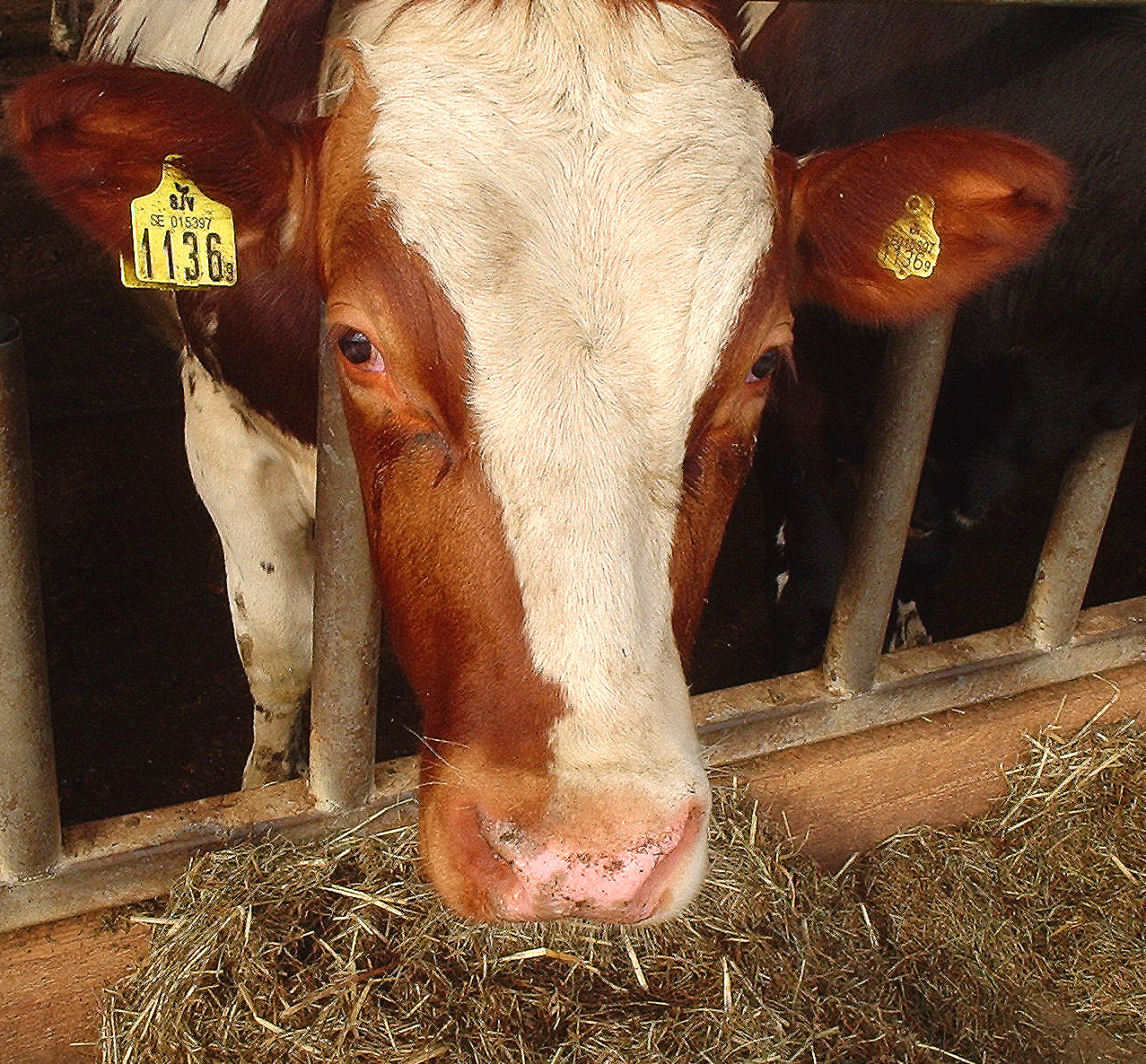
Kossa mu

Tagetes Pelare
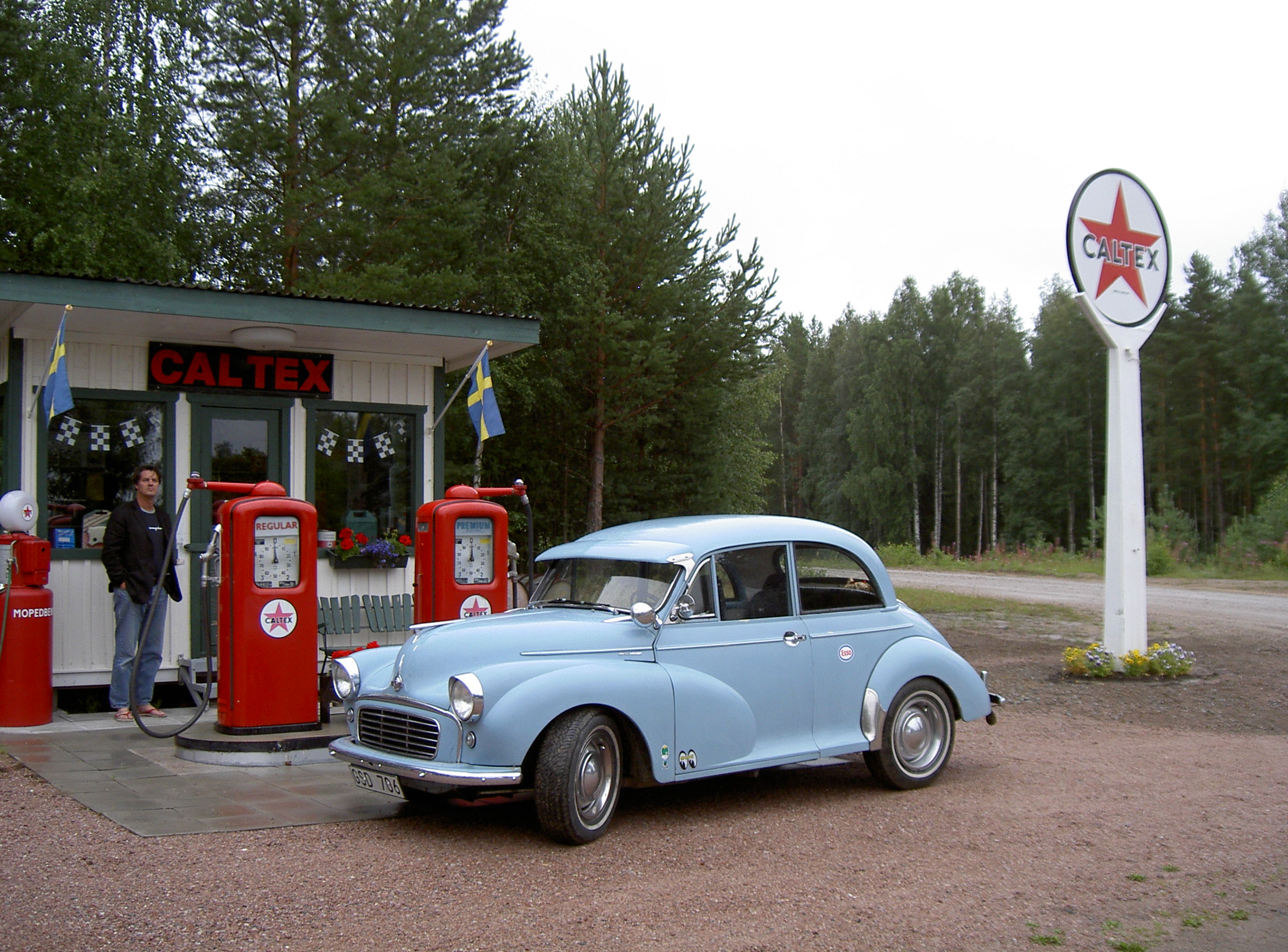
My Morris -57 at a newly upbuilded Caltex petrolstation of the 50´s
Topographic Map of Räka, 93 Voxnabruk, Sweden
Find elevation by address:

Places near Räka, 93 Voxnabruk, Sweden:
Räka
Voxnabruk
Ovanåker
Ovanåker Sv
FLÄTSBO, 95 Viksjöfors, Sweden
Rättvik S
Lekvägen 2, 41 Färila, Sweden
Alfta
Falun Nv
Gavleborg County
Falun N
LINDSBERG 19, 91 Falun, Sweden
Ljusdal
12d
Falun V
Järvsö
Finnfara
Slätta-korsarvet
ÖNSBACKEN 90, 94 Falun, Sweden
Falun 5, 94 Falun, Sweden
Recent Searches:
- Elevation of 72-31 Metropolitan Ave, Middle Village, NY, USA
- Elevation of 76 Metropolitan Ave, Brooklyn, NY, USA
- Elevation of Alisal Rd, Solvang, CA, USA
- Elevation of Vista Blvd, Sparks, NV, USA
- Elevation of 15th Ave SE, St. Petersburg, FL, USA
- Elevation of Beall Road, Beall Rd, Florida, USA
- Elevation of Leguwa, Nepal
- Elevation of County Rd, Enterprise, AL, USA
- Elevation of Kolchuginsky District, Vladimir Oblast, Russia
- Elevation of Shustino, Vladimir Oblast, Russia