Elevation of Lekvägen 2, 41 Färila, Sweden
Location: Sweden > Gavleborg County > Ljusdal V >
Longitude: 15.8438933
Latitude: 61.7979421
Elevation: 175m / 574feet
Barometric Pressure: 99KPa
Elevation Map:
Satellite Map:
Related Photos:
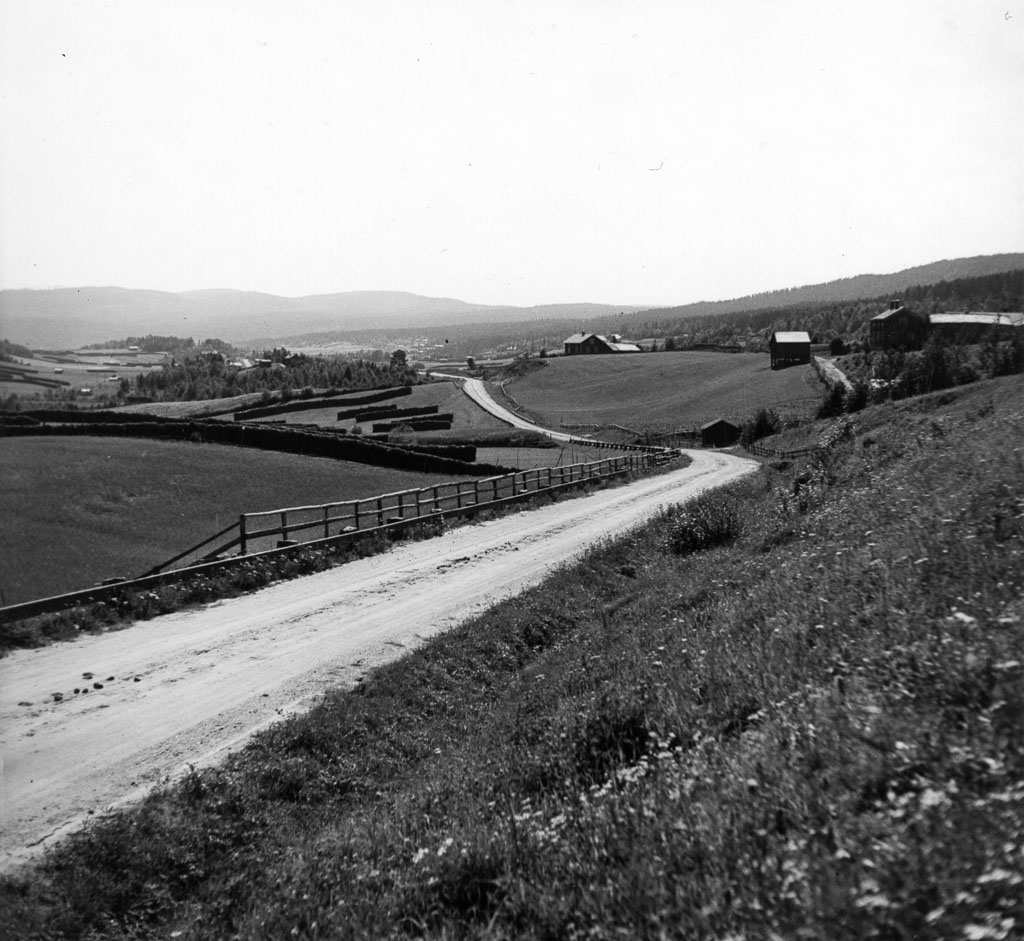
Åsbo 1937
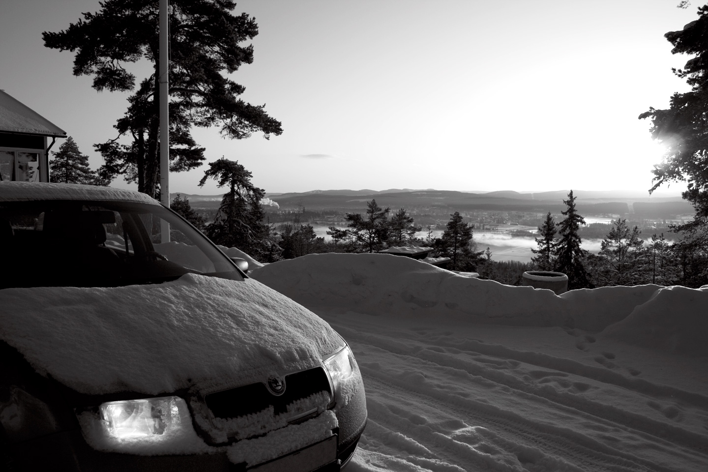
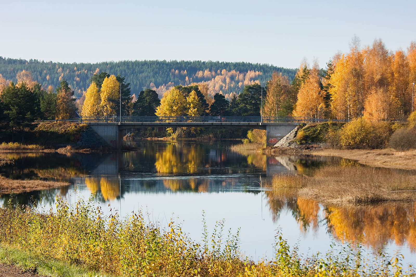
View over Ljusdal
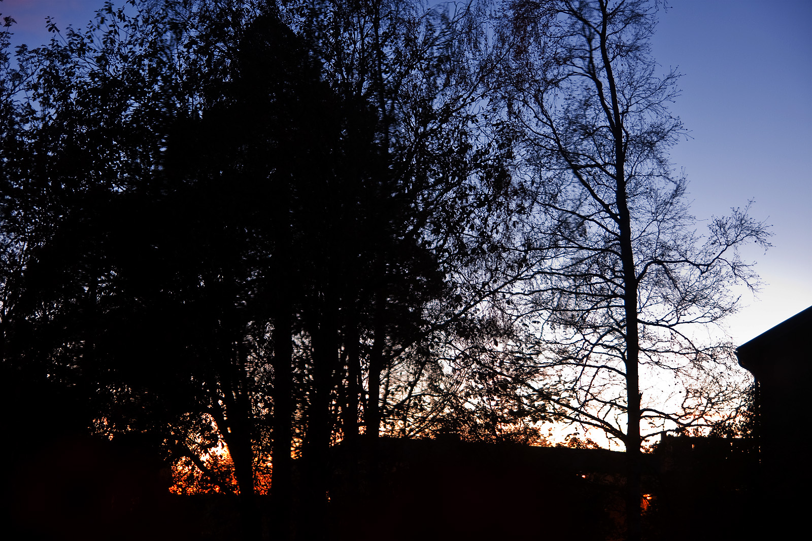
October evening
Åsbo 1937
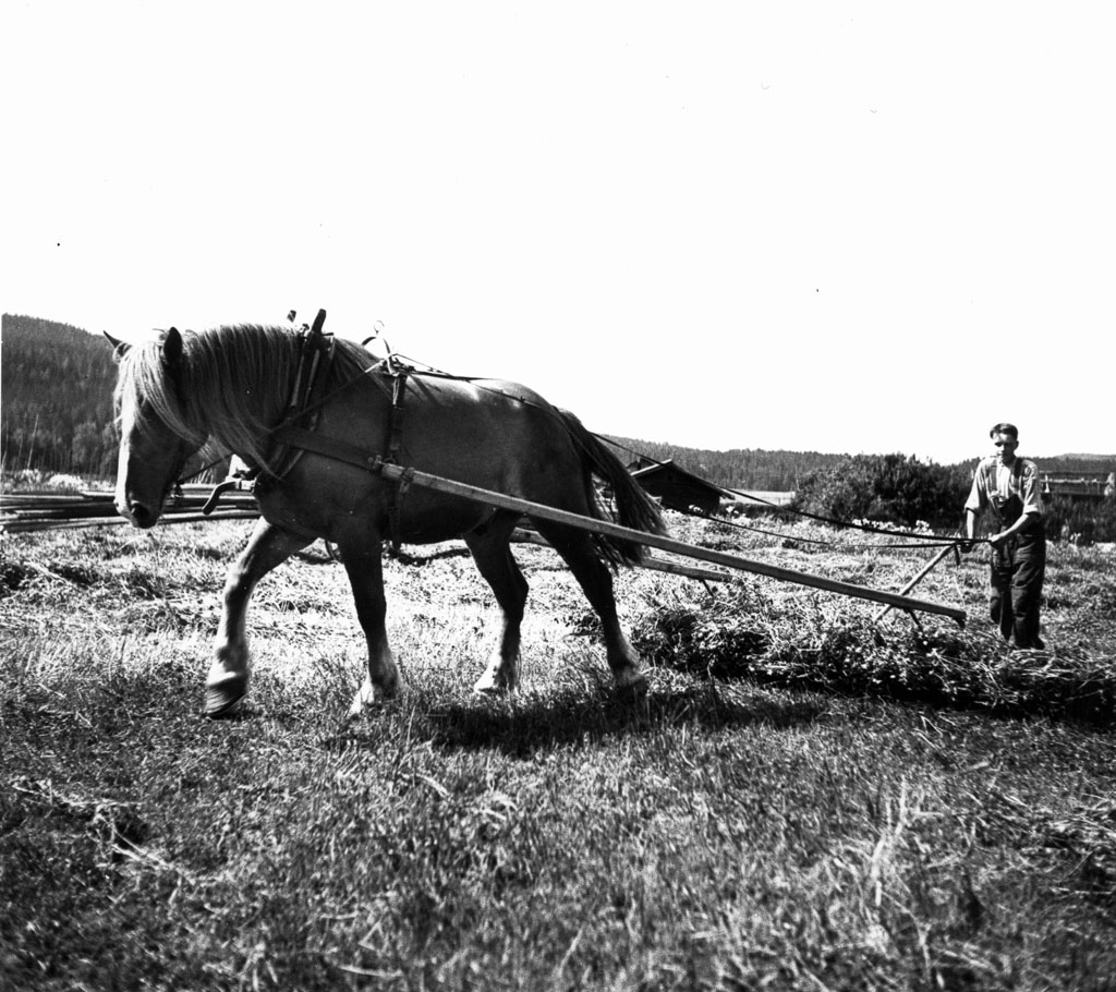
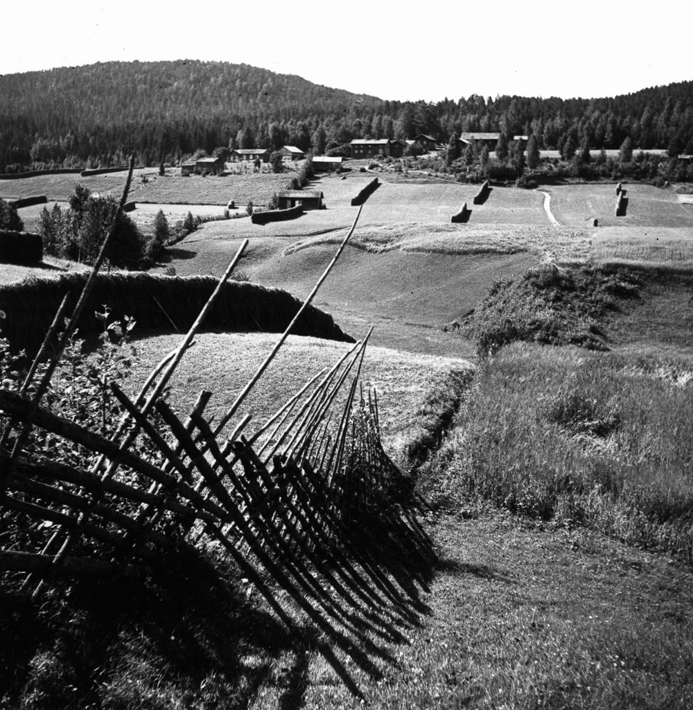
Höräfsning | Hay raking 1937
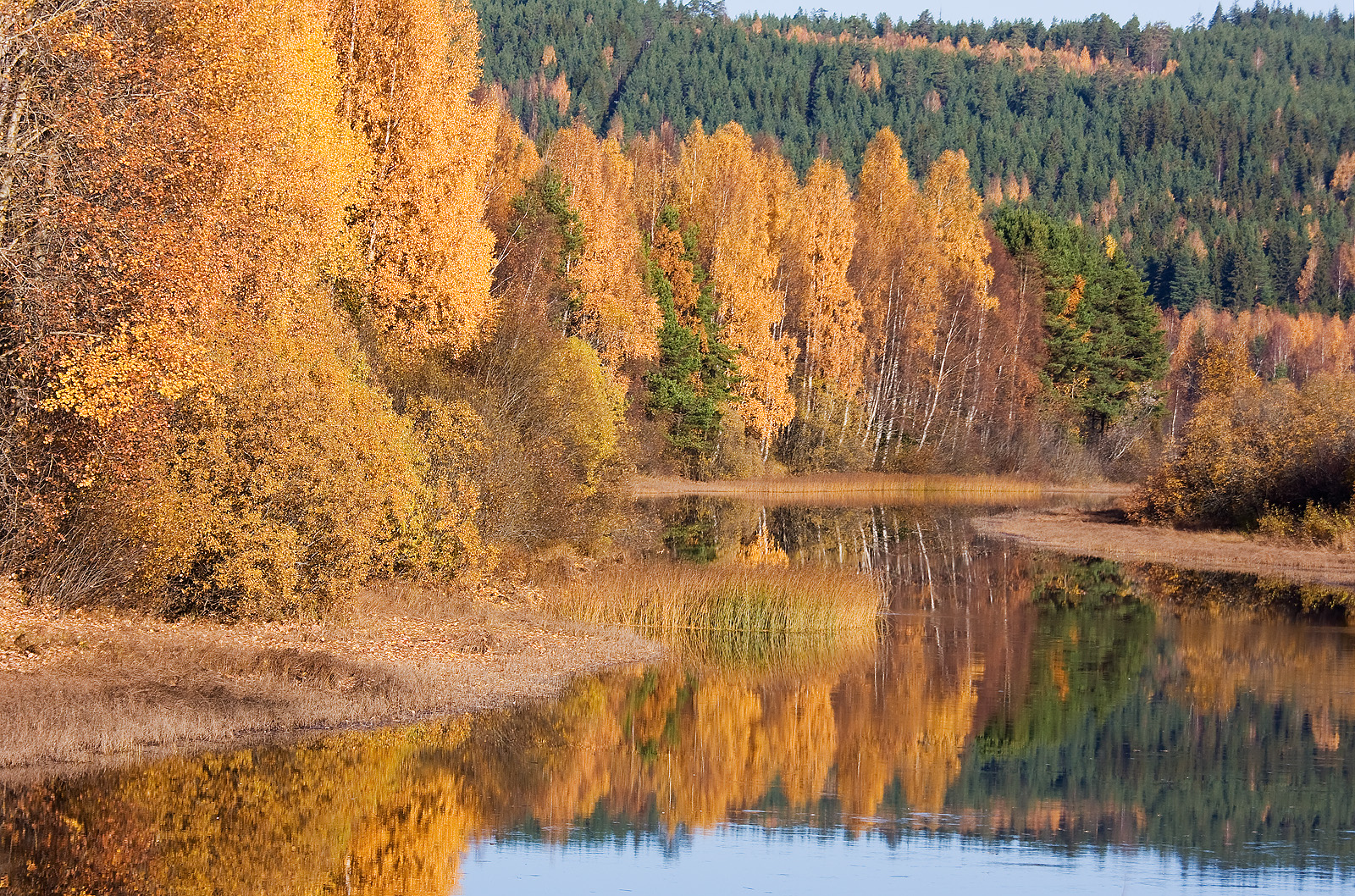
Nore Creek
Nore Creek

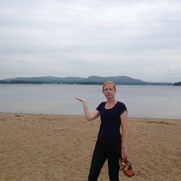
Linnéa's first bath 2011
Det här är norrländska berg
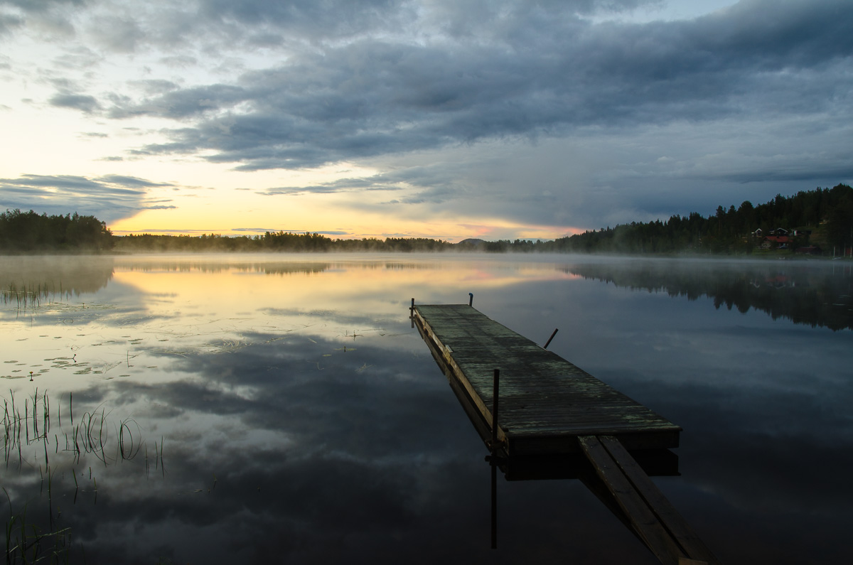
Stillness 2
Topographic Map of Lekvägen 2, 41 Färila, Sweden
Find elevation by address:

Places near Lekvägen 2, 41 Färila, Sweden:
Ljusdal
12d
Järvsö
Ovanåker
Alfta
Räka
Räka, 93 Voxnabruk, Sweden
Voxnabruk
Ovanåker Sv
Gavleborg County
FLÄTSBO, 95 Viksjöfors, Sweden
Finnfara
SVALA, 60 Delsbo, Sweden
Bollnäs
OVANÅKER 33, 60 Delsbo, Sweden
Rättvik S
HÅLSJÖ, 64 Näsviken, Sweden
Falun N
Vedavägen 13, 64 Näsviken, Sweden
GAMMELFÄBODEN 27, 23 Svärdsjö, Sweden
Recent Searches:
- Elevation of Fern Rd, Whitmore, CA, USA
- Elevation of 62 Abbey St, Marshfield, MA, USA
- Elevation of Fernwood, Bradenton, FL, USA
- Elevation of Felindre, Swansea SA5 7LU, UK
- Elevation of Leyte Industrial Development Estate, Isabel, Leyte, Philippines
- Elevation of W Granada St, Tampa, FL, USA
- Elevation of Pykes Down, Ivybridge PL21 0BY, UK
- Elevation of Jalan Senandin, Lutong, Miri, Sarawak, Malaysia
- Elevation of Bilohirs'k
- Elevation of 30 Oak Lawn Dr, Barkhamsted, CT, USA