Elevation of 30 Alfta, Sweden
Location: Sweden > Gavleborg County > Ovanåker >
Longitude: 16.0604207
Latitude: 61.3444468
Elevation: 94m / 308feet
Barometric Pressure: 100KPa
Elevation Map:
Satellite Map:
Related Photos:
View from an SJ window
You can see it all
View close to Bollnäs

Träd i sen höstskrud - Trees in late autumn colours

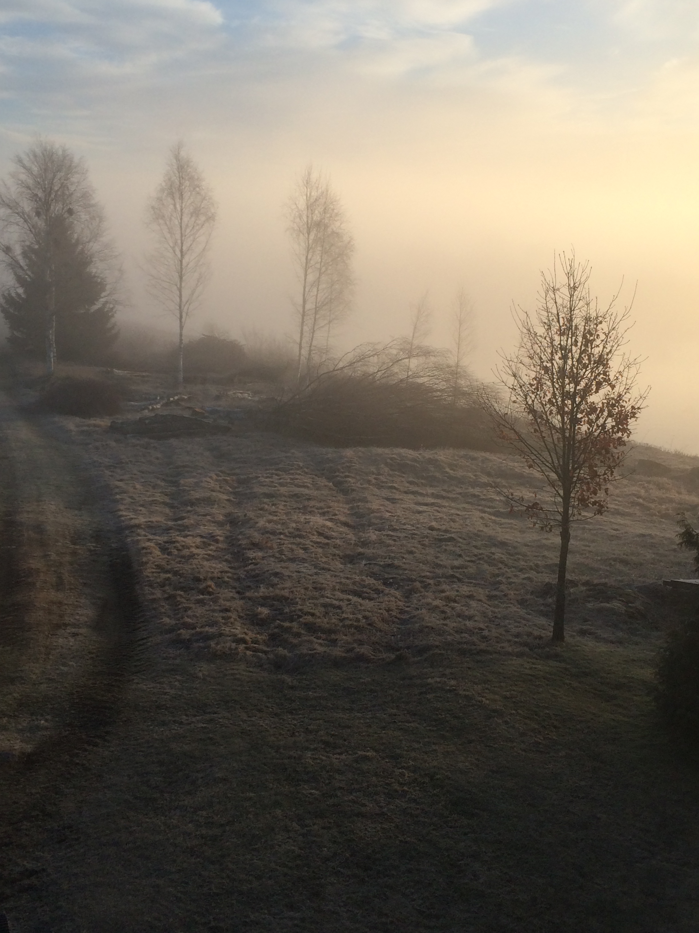
Birches in backlight
Old railway
2014-04-19 06.17.16

2014-07-30 20.10.56

Vårvinter
Topographic Map of 30 Alfta, Sweden
Find elevation by address:

Places near 30 Alfta, Sweden:
Gavleborg County
Finnfara
Bollnäs
Ovanåker
Ovanåker Sv
FLÄTSBO, 95 Viksjöfors, Sweden
Järvsö
12d
Ljusdal
Lekvägen 2, 41 Färila, Sweden
Voxnabruk
Falun N
GAMMELFÄBODEN 27, 23 Svärdsjö, Sweden
Räka
Ockelbo V
Räka, 93 Voxnabruk, Sweden
Ockelbo Nv
26c
Sendbergsvägen 8, 94 Ockelbo, Sweden
ULFTORP, 91 Jädraås, Sweden
Recent Searches:
- Elevation of Woolwine, VA, USA
- Elevation of Lumagwas Diversified Farmers Multi-Purpose Cooperative, Lumagwas, Adtuyon, RV32+MH7, Pangantucan, Bukidnon, Philippines
- Elevation of Homestead Ridge, New Braunfels, TX, USA
- Elevation of Orchard Road, Orchard Rd, Marlborough, NY, USA
- Elevation of 12 Hutchinson Woods Dr, Fletcher, NC, USA
- Elevation of Holloway Ave, San Francisco, CA, USA
- Elevation of Norfolk, NY, USA
- Elevation of - San Marcos Pass Rd, Santa Barbara, CA, USA
- Elevation of th Pl SE, Issaquah, WA, USA
- Elevation of 82- D Rd, Captain Cook, HI, USA