Elevation of Quillen Ridge Rd, Mouth of Wilson, VA, USA

Location: United States > Virginia > Grayson County > Wilson Creek > Mouth Of Wilson >

Longitude: -81.452647

Latitude: 36.603279

Elevation: 1007m / 3304feet

Barometric Pressure: 90KPa

Elevation Map:

elevation map of Quillen Ridge Rd, Mouth of Wilson, VA, USA

Satellite Map:

Satellite map of Quillen Ridge Rd, Mouth of Wilson, VA, USA

Related Photos:

virginia graysoncounty virginiamountains mountainviews countryroads fencesgates fallcolor backlit cloudyskies october2016 may 2016 canon24704l
Signs of Fall - HFF
abandoned minolta samsung swva rokkor graysoncounty primelens minoltamd mouthofwilson rokkorx nx30 minoltamdwrokkorx24mmf28 samsungnx30
Forgotten House in the Hills
chfstew virginia vagraysoncounty appalachiantrail hiking landscape panorama
Appalachian NST on Whitetop Mountain, VA (2)
abandoned samsung wideangle oldhouse swva graysoncounty primelens mouthofwilson rokinon nx30 samsungnx30 rokinon12mmf20 rokinon12mmf20ncscs
Old New River House
red blueridgemountains southwestvirginia virginiaviews graysonhighlandsstatepark nikon28300 mountrogersrecreationarea michaelspeed nikond750
Two Hikers taking in the Grayson County view.
Wilburn Ridge Sunrise
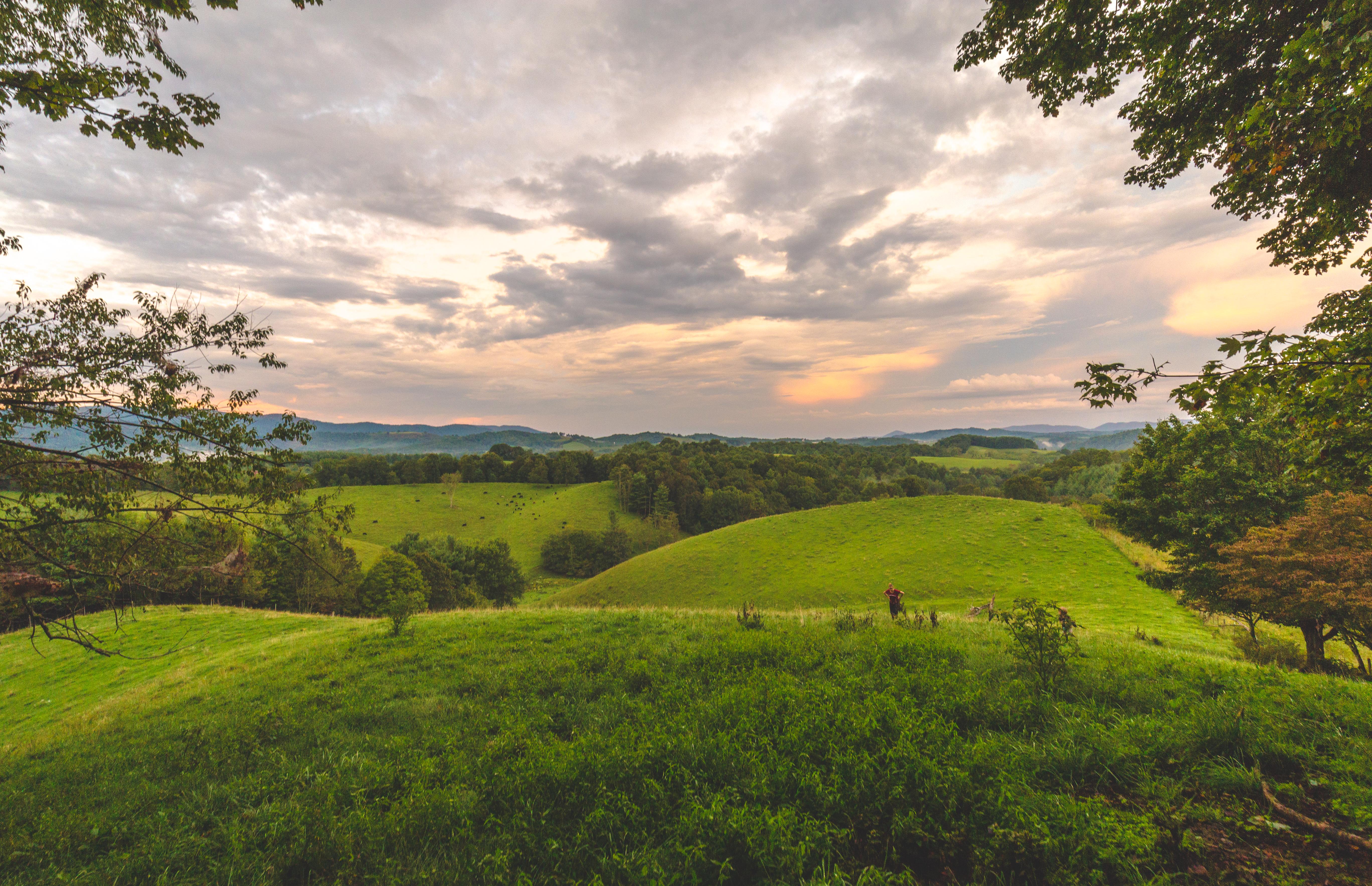
virginia samsung swva graysoncounty mouthofwilson nx30 samsungnx30 samsungnx50200mmf45–6
Virginia Hills
virginia yorkshireterrier appalachiantrail graysonhighlandsstatepark wilburnridge mountrogersrecreationarea dogsthathike
Appalachian Yorkie
sunset mountains virginia whitetop scenicviews mountrogers jeffersonnationalforest
Sunset on White Top
fog landscape virginia highlands nikon day hikingtrail appalachianmountains scenicview graysonhighlands graysoncounty 18300mm graysonhighlandsstatepark virginiastateparks graysoncountyvirginia nikond5000 skyemarthaler
Morning in the Grayson Highlands
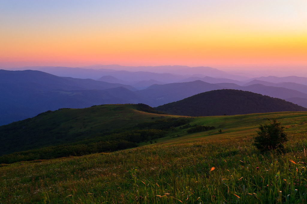
Sunset Over Mt Rogers
statepark park summer landscape virginia unitedstates parks dailyphoto stateparks graysonhighlands graysoncounty jeffersonnationalforest mouthofwilson graysonhighlandsstatepark virginiastateparks graysoncountyvirginia pauldiming sugarlandsoverlook mouthofwilsonvirginia
Mountain View @ Grayson Highlands State Park - Mouth of Wilson, VA
virginia may 2007 graysoncounty mtrogers graysonhighlandstatepark
Grayson Highlands
pauldiming smythcounty landscape highlands highcountrymeadow mtrogersnra blueridgehighlands washingtoncounty meadow dailyphoto whitetopmountain summer graysoncountyvirginia mouthofwilsonvirginia smythcountyvirginia washingtoncountyvirginia southwestvirginia virginia balds graysoncounty mtrogersnationalrecreationarea d7000 nationalrecreationarea whitetopfolkfestival mouthofwilson troutdale unitedstates us
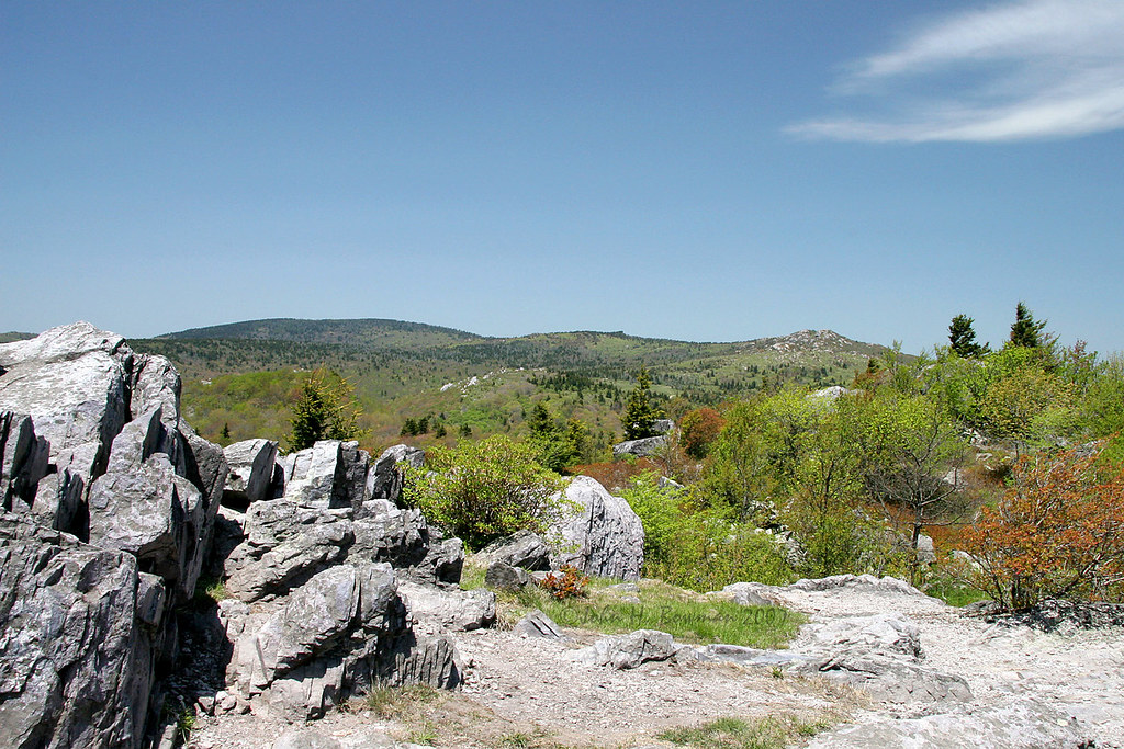
View Toward Buzzard Rocks from Whitetop Mountain - Mt. Rogers, NRA, Whitetop, VA
Wilburn Ridge Pano
Wilburn Ridge Trail
Morning on Wilburn Ridge
chfstew virginia vawashingtoncounty appalachiantrail hiking mountain landscape panorama
Buzzard Rock, Appalachian NST, VA (3)
appalaciantrail backpacking canoneos7dmkii fairwood fall graysonhighlandsstateparkva hiking landscape mountrogersnationalrecreationarea mouthofwilson tamronaf1750mmf28spxrdiiivc usa unitedstates virginia wilburnridge geo:lat=3665116833 geo:lon=8151647667 geotagged outdoors geo:country=unitedstates camera:model=canoneos7dmarkii camera:make=canon exif:isospeed=160 geo:lon=81516476666667 exif:focallength=33mm geo:city=mouthofwilson geo:lat=36651168333333 exif:aperture=ƒ10 exif:lens=1750mm exif:model=canoneos7dmarkii geo:location=fairwood geo:state=virginia exif:make=canon
Views on Wilburn Ridge
Grayson Highlands Sunset
Mobile Home
mouthofwilson virginia unitedstates us graysonhighlandsstatepark canon canon6dmarkii
A little color...Sugarlands Overlook, Grayson Highlands State Park [Explored]
mouthofwilson virginia unitedstates us graysonhighlandsstatepark landscape christmastreefarm fraserfir rural hdr 3exp
Christmas Tree Farms...
landscape fence jeffersonnationalforest mountrogersnationalrecreation virginia usa hff oldfirstpeaktrail ferns canonm100 canonefm18150 barbedwire
HFF! Fence from Old First Peak Trail
nikon wet water waterfall tripod long exposure dark low lowlight outdoos outside nature gayson highlands va virginia natural cabin creek stream woods forrest beautiful light aperture hike forest river grass rock sky tree landscape d 750 d750 nikor 2470 vr leaves fall color fog mist misty old abandoned
Cabin on Cabin Creek
park virginia highlands state gimp olympus trail grayson appalachian em1
Grayson Highlands
autumn color fall foliage sugarland graysonhighlandsstatepark
Sugarland Overlook - Grayson Highlands State Park
mouthofwilson virginia unitedstates us pony feralpony graysonhighlandsstatepark appalachiantrail hike fall autumn horse canon canon6dmarkii canon6d2 canon6dmkii canon70300usm
Pony at Grayson Highlands State Park, Virginia
Wilburn Ridge Sunset
red graysoncounty graysonhighlandsstatepark foggysunset virginiastateparks rhododendronbloom mountrogersrecreationarea bestvirginiahikes
Foggy Wilburn
graysonhighlandsstatepark virginia nature
Massey Gap Landscape
mouthofwilson virginia unitedstates us graysoncounty sunset swva canon eos canoneos6d 1635mm canonef1635mmf4lisusm canonef1635mm
Virginia Hills Sunset
autumn fall creek virginia rocks stream nps nationalparkservice nationalrecreationarea mountrogers graysoncounty
Fox Creek