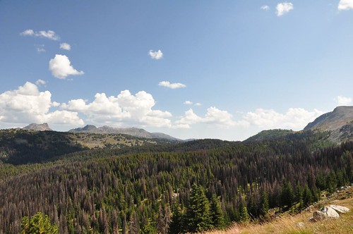
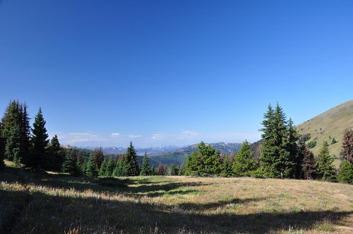
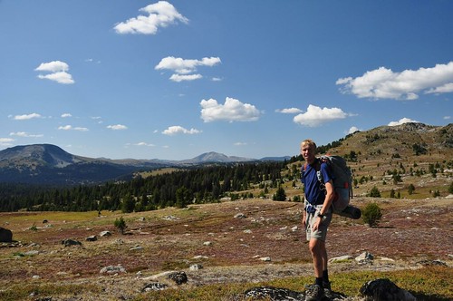
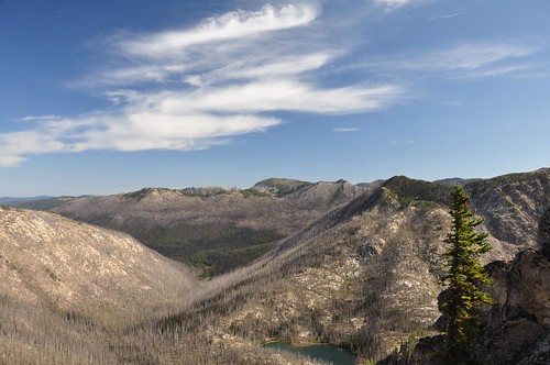
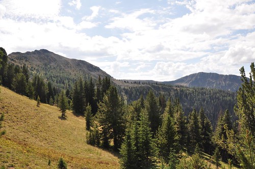
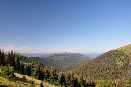
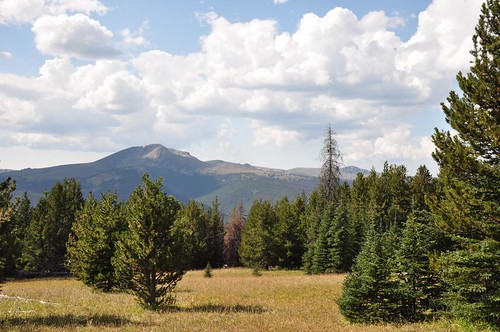
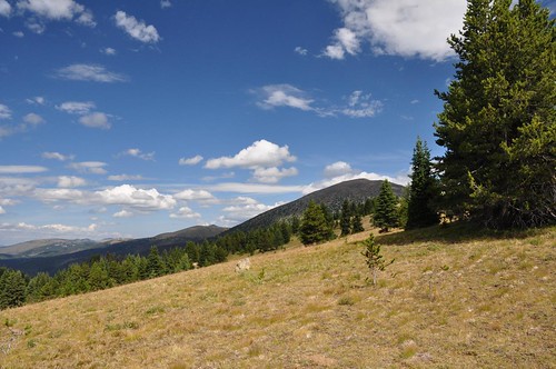
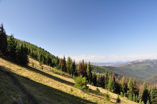
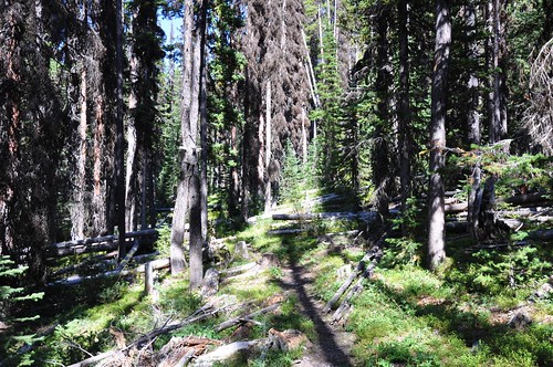
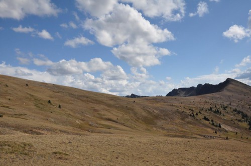
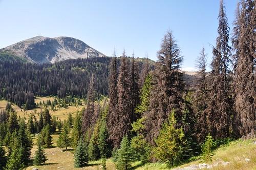
Elevation of Quartz Mountain, Washington, USA
Location: United States > Washington > Okanogan County >
Longitude: -120.42427
Latitude: 48.9565309
Elevation: 2229m / 7313feet
Barometric Pressure: 77KPa
Related Photos:
Topographic Map of Quartz Mountain, Washington, USA
Find elevation by address:

Places near Quartz Mountain, Washington, USA:
Sheep Mountain
Sheep N3
Dollar Watch Mountain
Island Mountain
Two Point Mountain West
Many Trails Peak
Rampart Ridge North
Okanogan National Forest
Flat Top Mountain
Rampart Ridge
Ptarmigan Peak
Van Peak
Lost Peak
Pass Butte
Dot Mountain
Freds Mountain
Mount Lago
Border Ridge
Placer Mountain
Blackcap Mountain
Recent Searches:
- Elevation of Corso Fratelli Cairoli, 35, Macerata MC, Italy
- Elevation of Tallevast Rd, Sarasota, FL, USA
- Elevation of 4th St E, Sonoma, CA, USA
- Elevation of Black Hollow Rd, Pennsdale, PA, USA
- Elevation of Oakland Ave, Williamsport, PA, USA
- Elevation of Pedrógão Grande, Portugal
- Elevation of Klee Dr, Martinsburg, WV, USA
- Elevation of Via Roma, Pieranica CR, Italy
- Elevation of Tavkvetili Mountain, Georgia
- Elevation of Hartfords Bluff Cir, Mt Pleasant, SC, USA
