Elevation of Placer Mountain, Okanagan-Similkameen H, BC V0X, Canada
Location: Canada > British Columbia > Princeton >
Longitude: -120.41805
Latitude: 49.1402777
Elevation: 2193m / 7195feet
Barometric Pressure: 78KPa
Elevation Map:
Satellite Map:
Related Photos:
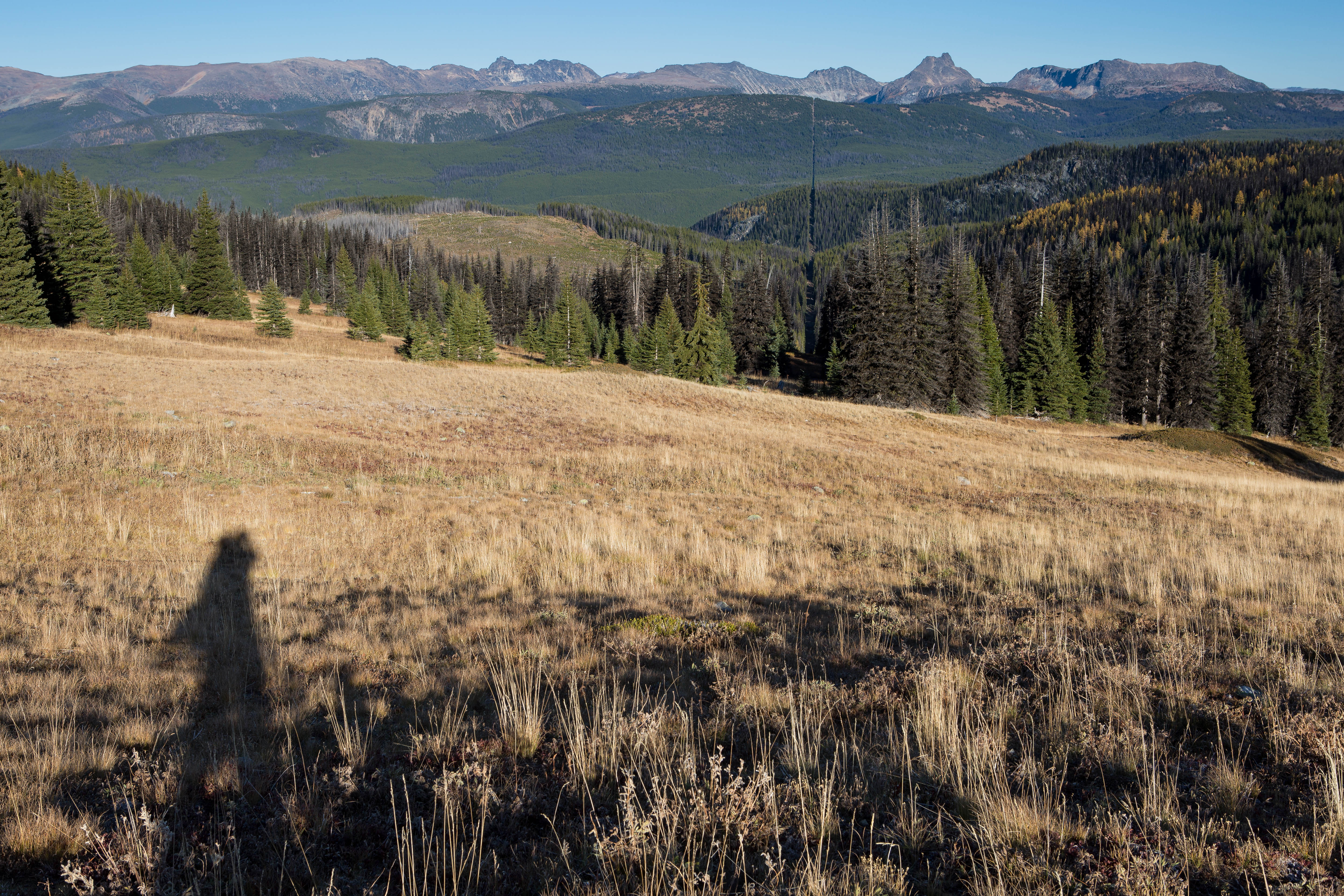
View from my lunchspot today...
Mountain Weather

|| || / |
BACK TO THE LAND
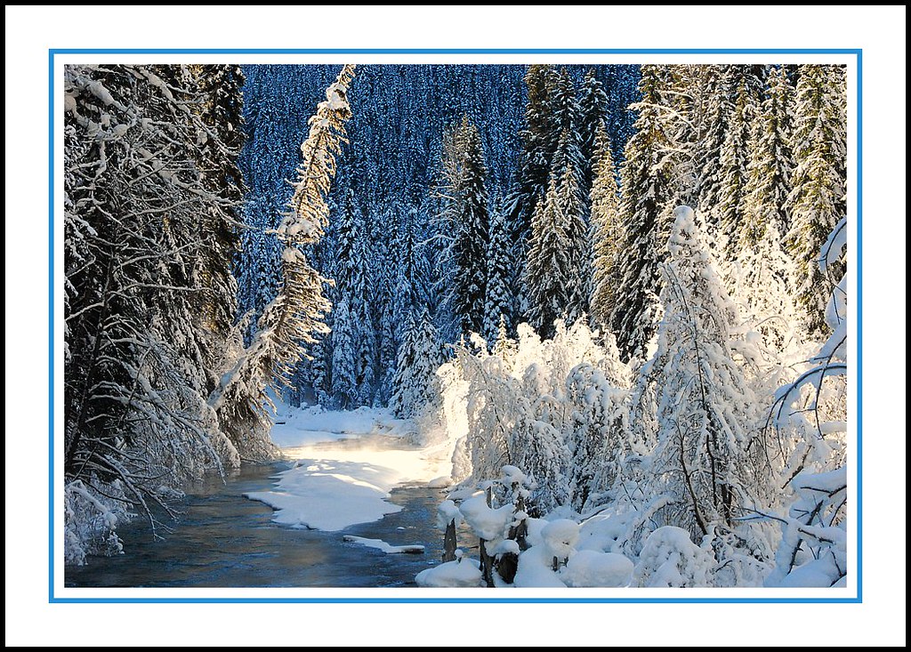
Mop Top
Fresh Tracks

Golden Orb
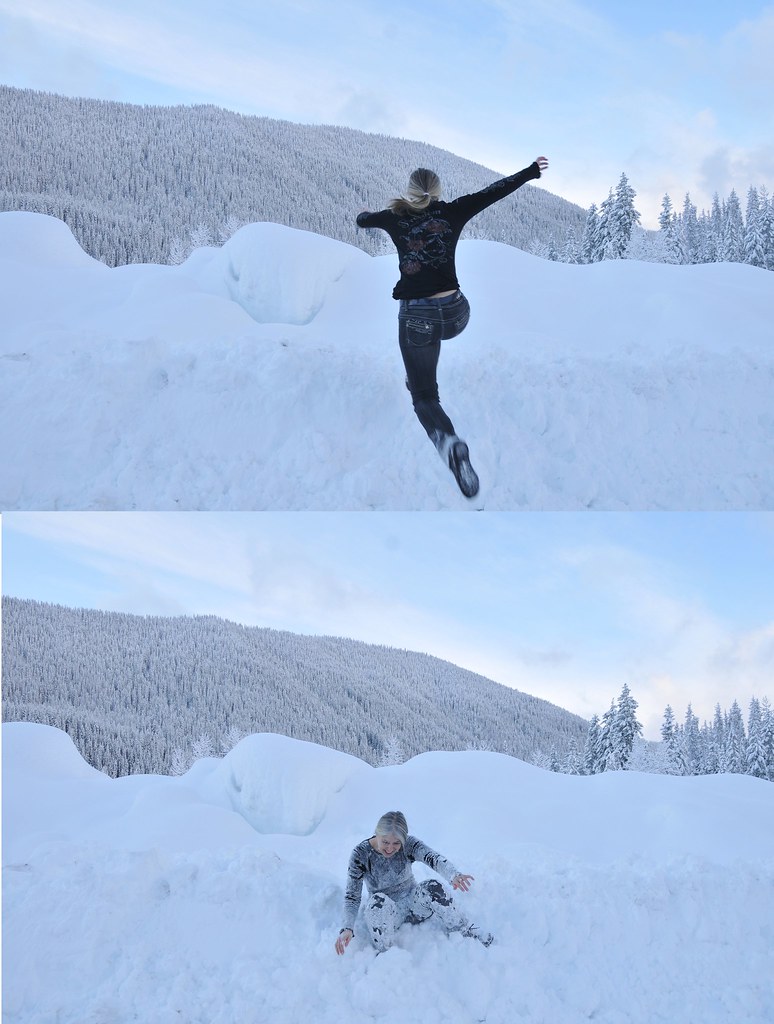
Bad Idea before/after
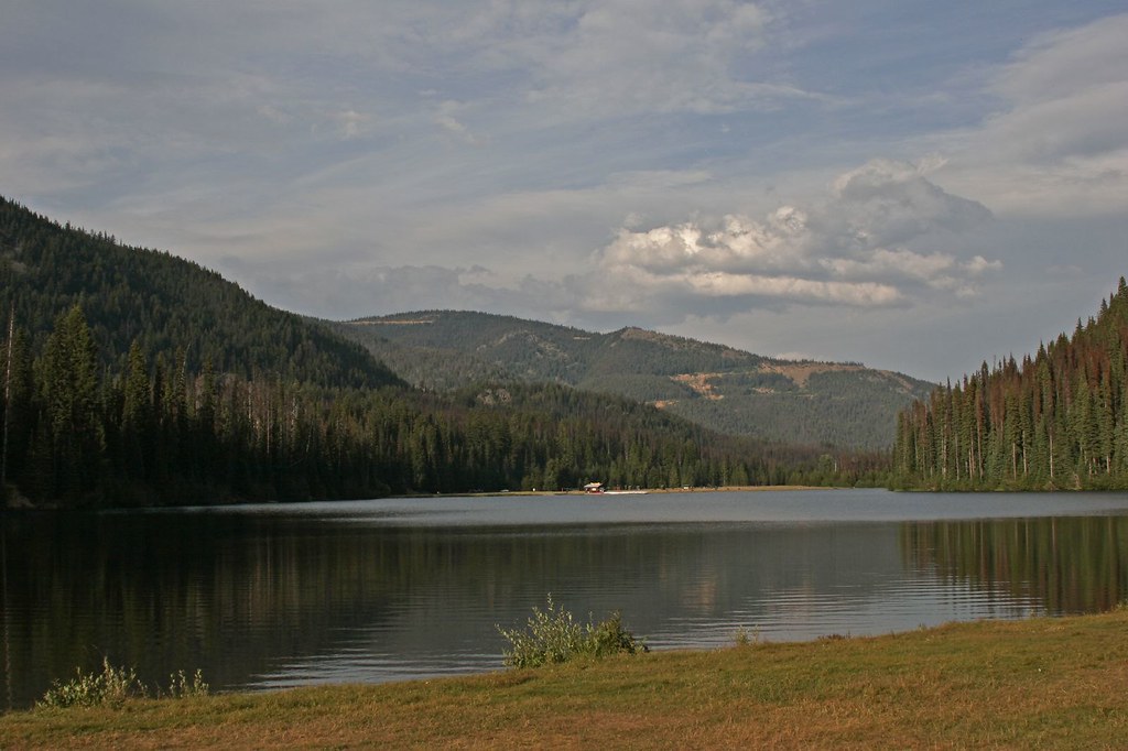
Lightning Lake 1
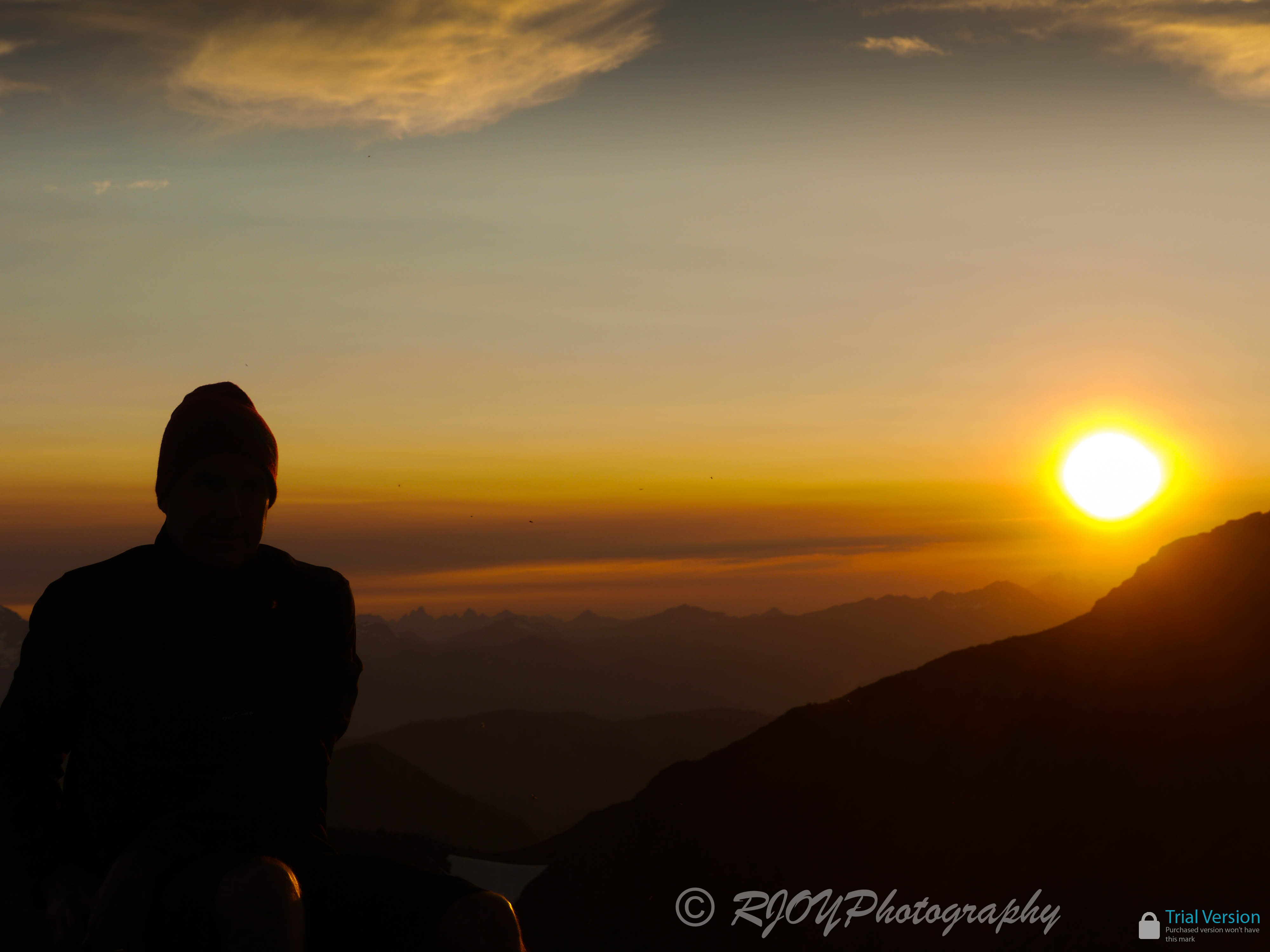
Summiting Frosty
On the line
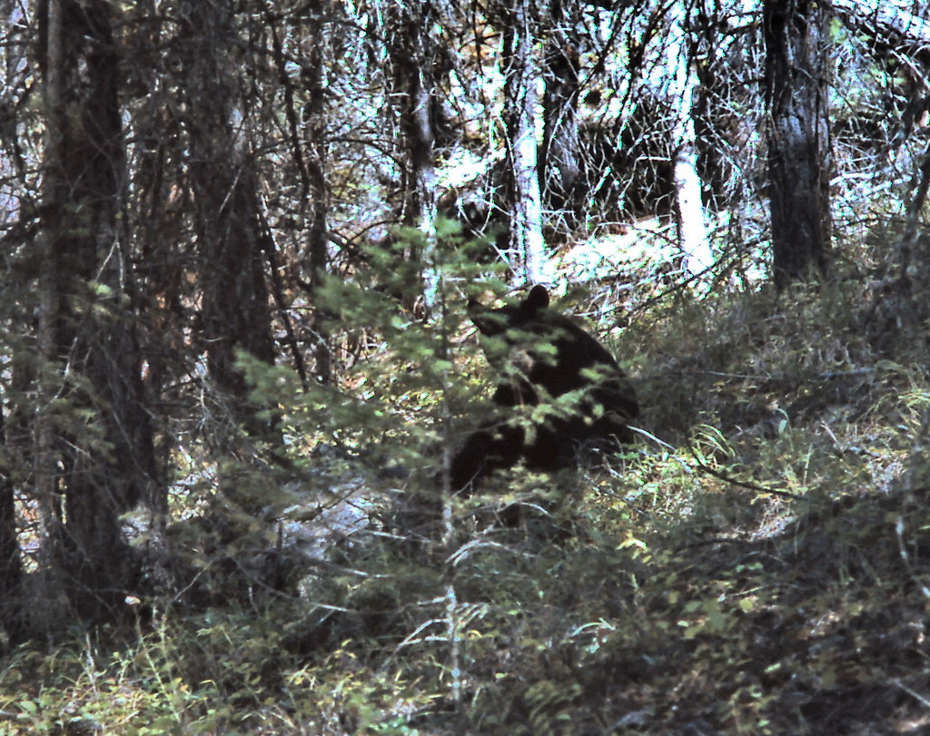
gm_11419 Manning Park Bear, BC 1994
Lightning Lake 6
Topographic Map of Placer Mountain, Okanagan-Similkameen H, BC V0X, Canada
Find elevation by address:

Places near Placer Mountain, Okanagan-Similkameen H, BC V0X, Canada:
Flat Top Mountain
Sheep N3
Sheep Mountain
Quartz Mountain
Eastgate
Red Mountain
Quiniscoe Mountain
Pyramid Mountain
Border Ridge
Cathedral Lakes
Two Point Mountain West
Chuwanten Mountain
Dollar Watch Mountain
Island Mountain
Orthodox Mountain
Van Peak
Grimface Mountain
Ashnola River Road
The Deacon
Kandahar Peak
Recent Searches:
- Elevation of Corso Fratelli Cairoli, 35, Macerata MC, Italy
- Elevation of Tallevast Rd, Sarasota, FL, USA
- Elevation of 4th St E, Sonoma, CA, USA
- Elevation of Black Hollow Rd, Pennsdale, PA, USA
- Elevation of Oakland Ave, Williamsport, PA, USA
- Elevation of Pedrógão Grande, Portugal
- Elevation of Klee Dr, Martinsburg, WV, USA
- Elevation of Via Roma, Pieranica CR, Italy
- Elevation of Tavkvetili Mountain, Georgia
- Elevation of Hartfords Bluff Cir, Mt Pleasant, SC, USA