Elevation of Okanogan National Forest, Okanogan County, WA, United States
Location: United States > Washington > Okanogan County >
Longitude: -120.33211
Latitude: 48.8775437
Elevation: 2007m / 6585feet
Barometric Pressure: 79KPa
Elevation Map:
Satellite Map:
Related Photos:
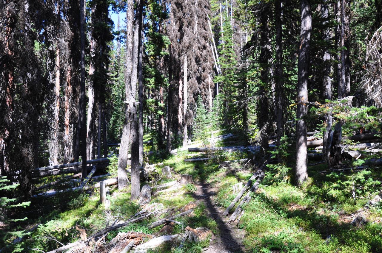
Showing view of trail, pretty easy to find/follow and maintained pretty well
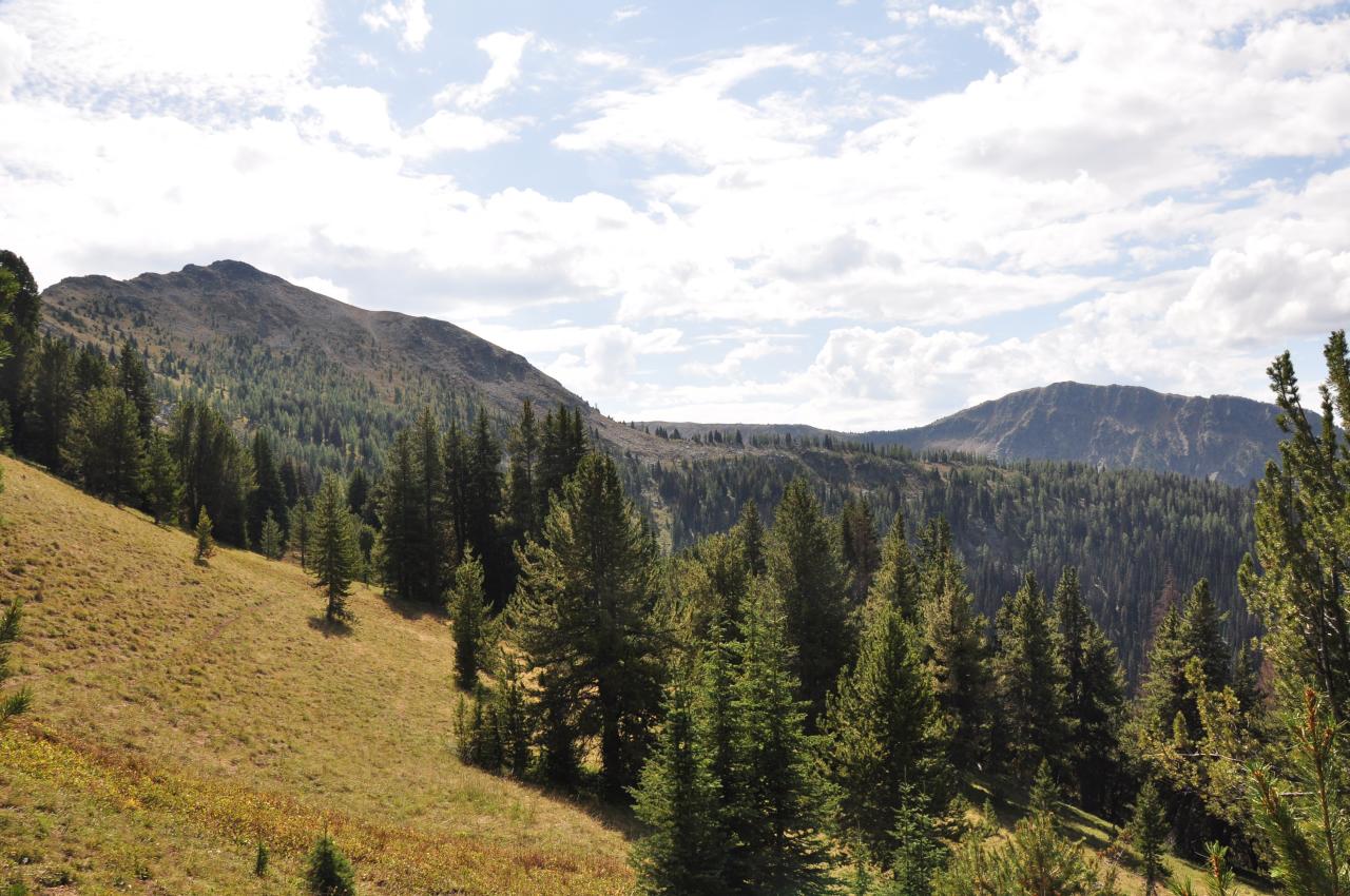
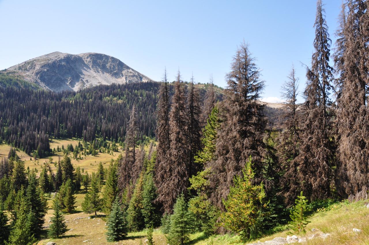
View towards bald mountain, cathedrals, path Im going to bushwack
Birds eye view
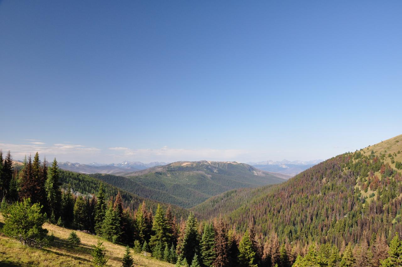
View from trail looking back east over trail I just travelled

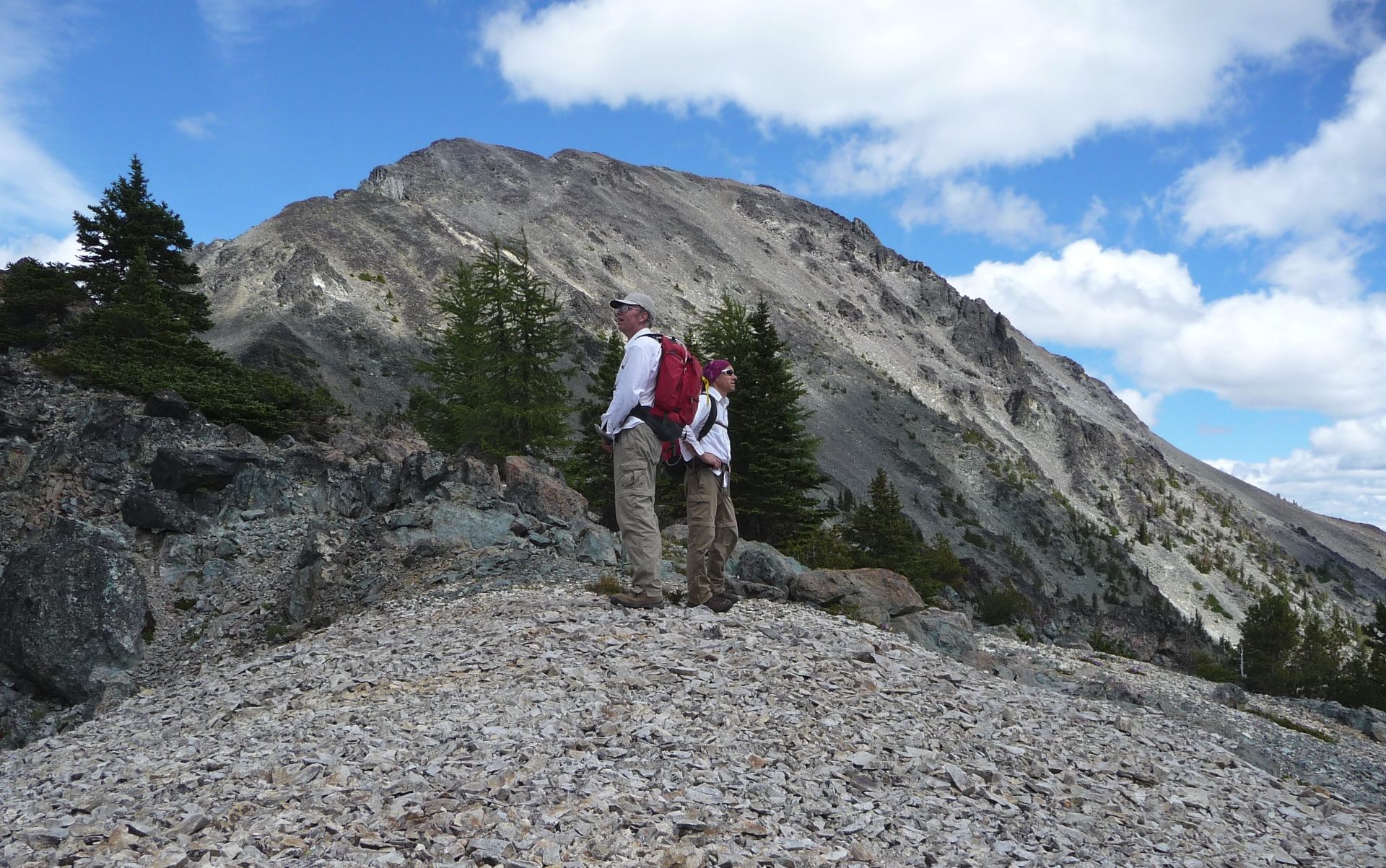
Backside of sheep mountian on trail with great views
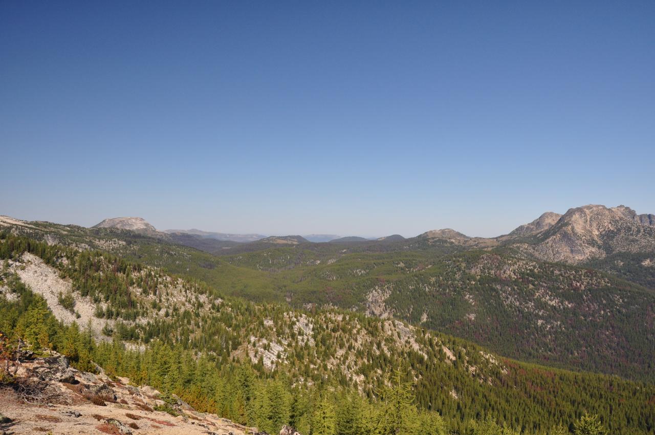
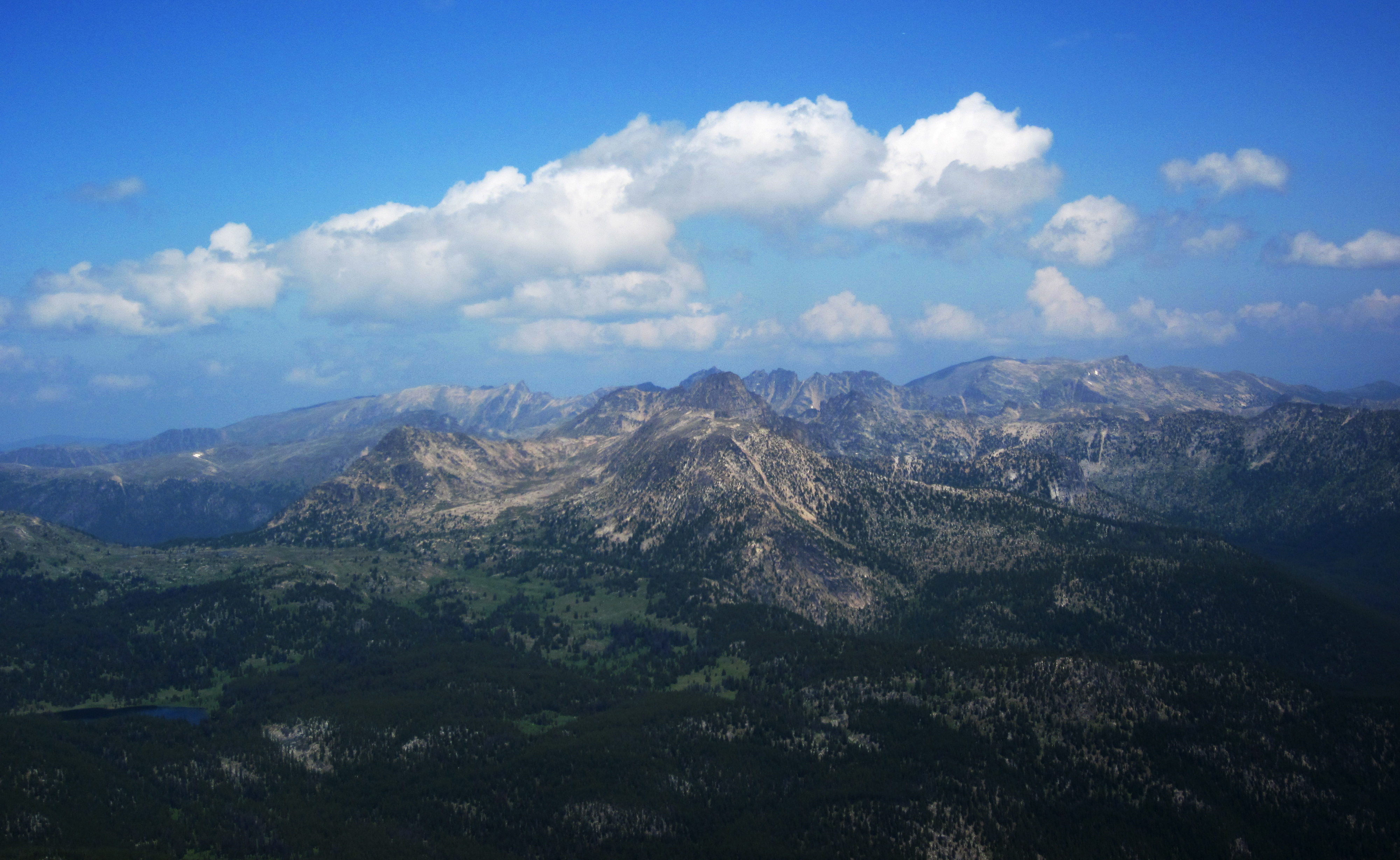
West and Big Craggy
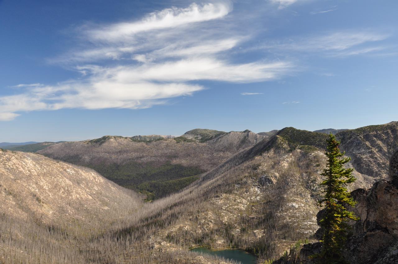
View north from summit
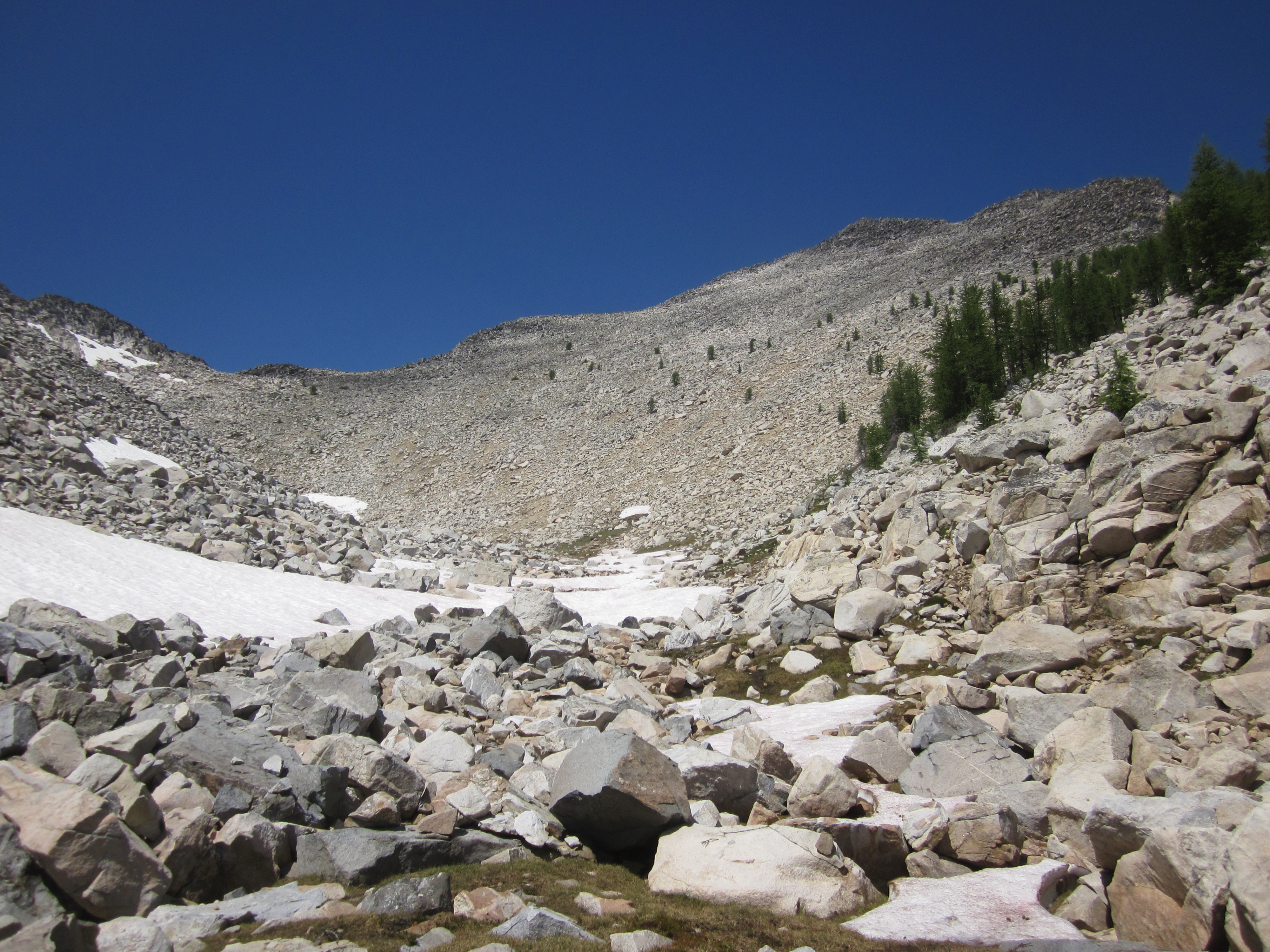
View up to the summit

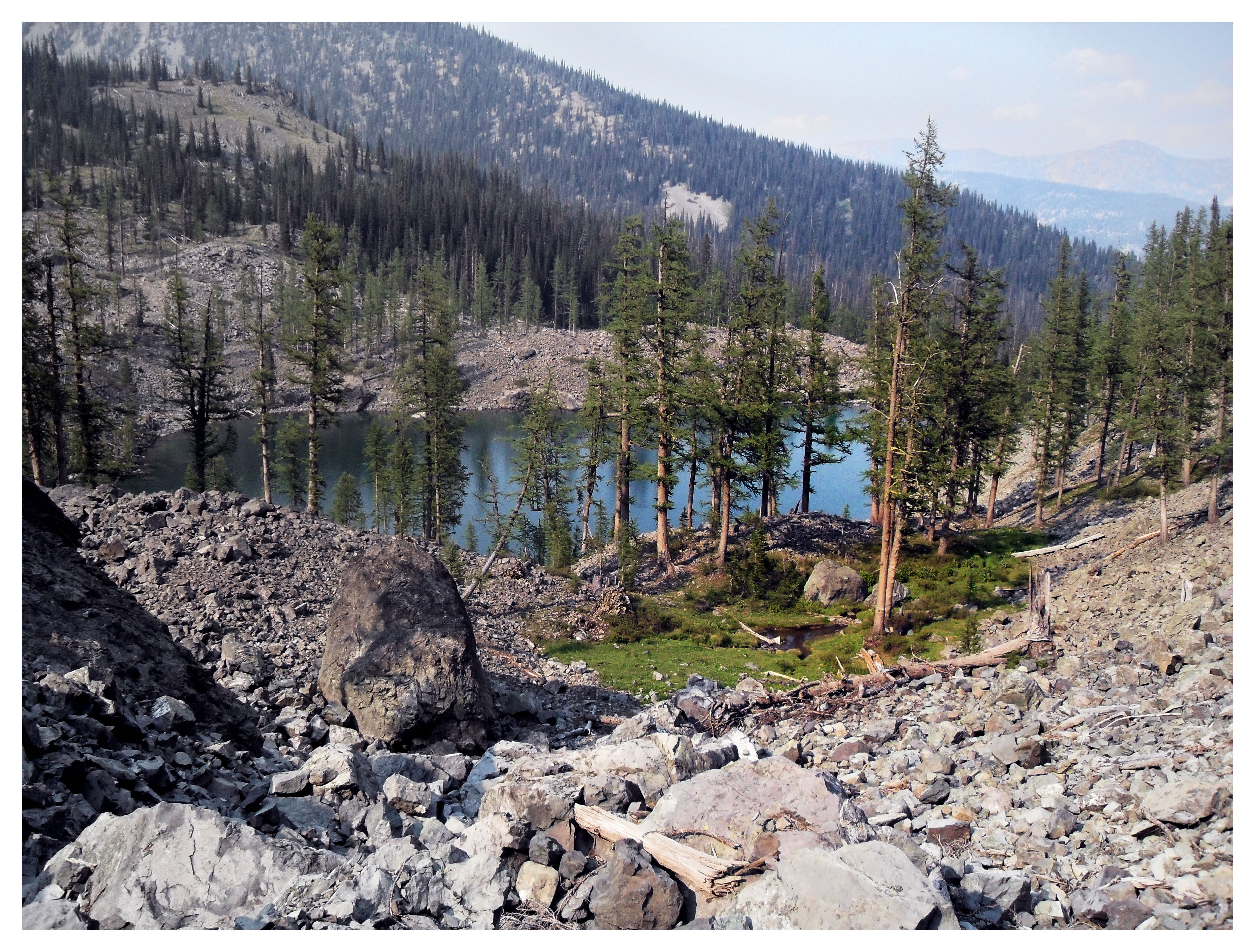
View near Remmel lake/Cathedral lake
Dawn Lake and Ashnola Creek/River valley
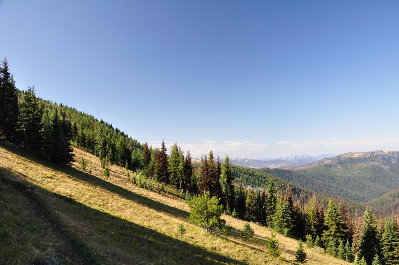
Views along trail
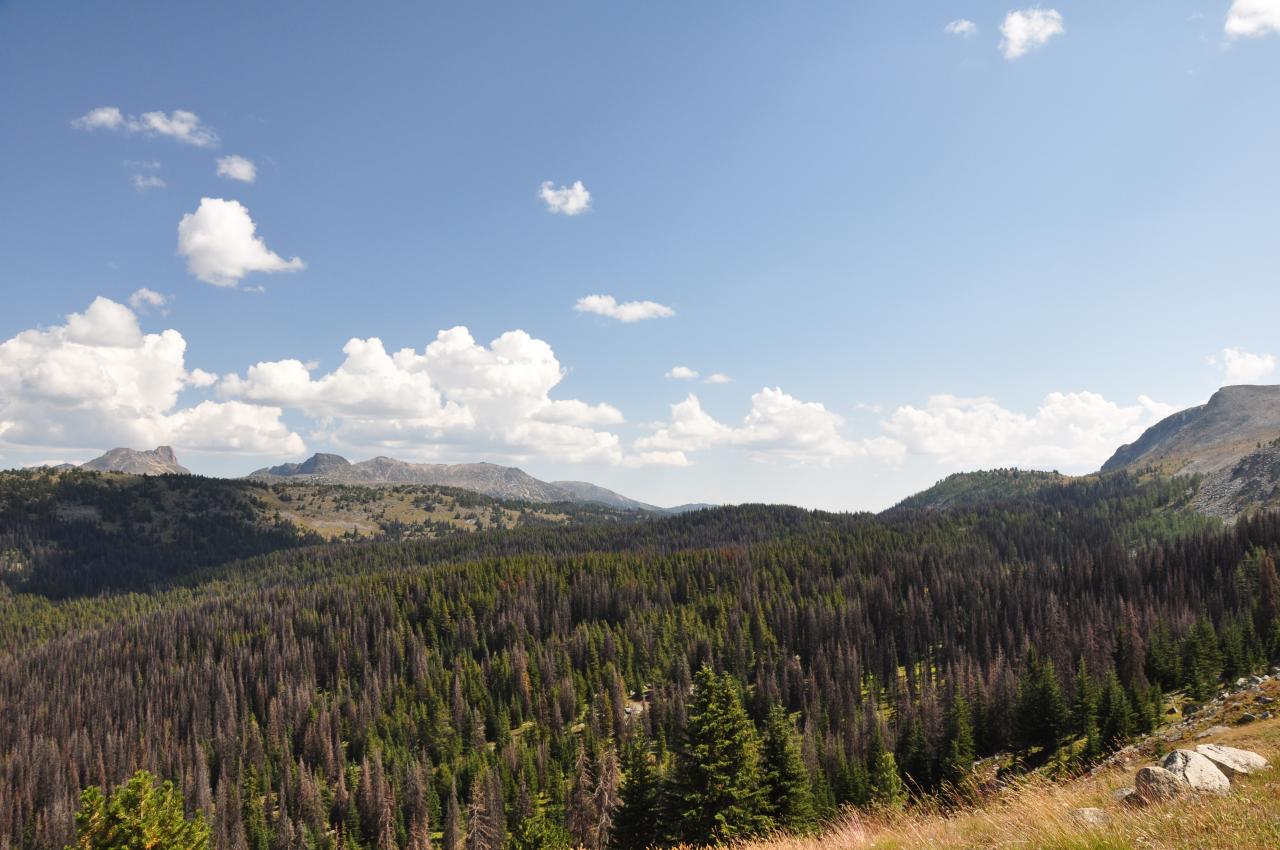
More great views looking west from Sheep mountain

View from 533 looking west towards sheep mountain

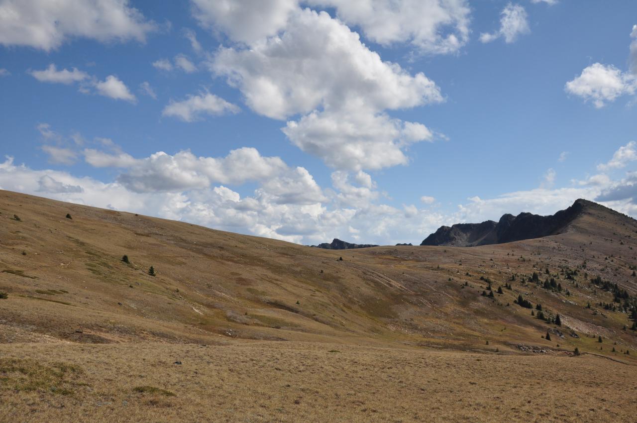
Views from Sand Back ridge/trail to whistler pass
Backside of Sheep mountain on trail with great views
Headed into Corral lake, view of meadows and panorama is amazing
Headed up on boundary trail 533 over bald mountain, great meadows and views
Topographic Map of Okanogan National Forest, Okanogan County, WA, United States
Find elevation by address:

Places near Okanogan National Forest, Okanogan County, WA, United States:
Two Point Mountain West
Van Peak
Dollar Watch Mountain
Freds Mountain
Peepsight Mountain
Andrew Peak
Rampart Ridge North
Sheep Mountain
Rampart Ridge
Quartz Mountain
Island Mountain
Preston Ridge
Many Trails Peak
Border Ridge
Lost Peak
Remmel Mountain
Sheep N3
Remmel Lake
Remmel Creek
Pass Butte
Recent Searches:
- Elevation of Corso Fratelli Cairoli, 35, Macerata MC, Italy
- Elevation of Tallevast Rd, Sarasota, FL, USA
- Elevation of 4th St E, Sonoma, CA, USA
- Elevation of Black Hollow Rd, Pennsdale, PA, USA
- Elevation of Oakland Ave, Williamsport, PA, USA
- Elevation of Pedrógão Grande, Portugal
- Elevation of Klee Dr, Martinsburg, WV, USA
- Elevation of Via Roma, Pieranica CR, Italy
- Elevation of Tavkvetili Mountain, Georgia
- Elevation of Hartfords Bluff Cir, Mt Pleasant, SC, USA