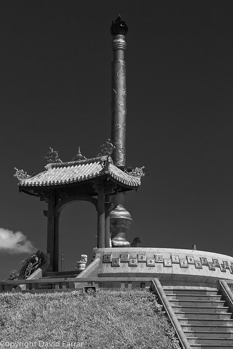
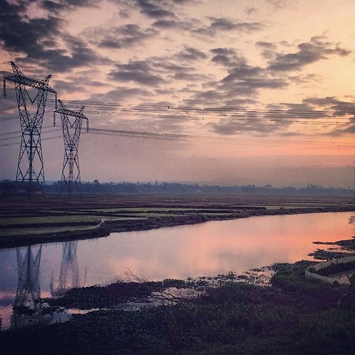
Elevation of Quảng Trị, Quảng Trị Province, Vietnam
Location: Vietnam > Quảng Trị Province >
Longitude: 107.185467
Latitude: 16.7403074
Elevation: 11m / 36feet
Barometric Pressure: 101KPa
Related Photos:
Topographic Map of Quảng Trị, Quảng Trị Province, Vietnam
Find elevation by address:

Places near Quảng Trị, Quảng Trị Province, Vietnam:
Đông Hà
Cam Lộ District
Quảng Trị Province
Phong Điền
Công Ty Cổ Phần Chăn Nuôi C.p Việt Nam - Chi Nhánh đông Lạnh Thừa Thiên Huế
Phong Điền District
Đa Krông
Tà Long
Phong Hải
Tây Lộc
Tiệm Tiện Tăng Bua Các Loại Bằng Máy Tự Động Sự
Huế
Thua Thien Hue
144 Phạm Văn Đồng
Thành Phố Huế
Laguna Lăng Cô Golf Club
Hòa Ninh
Hòa Ninh
Bà Nà Hills Resort
Ba Na Hills Đà Nẵng
Recent Searches:
- Elevation of Lampiasi St, Sarasota, FL, USA
- Elevation of Elwyn Dr, Roanoke Rapids, NC, USA
- Elevation of Congressional Dr, Stevensville, MD, USA
- Elevation of Bellview Rd, McLean, VA, USA
- Elevation of Stage Island Rd, Chatham, MA, USA
- Elevation of Shibuya Scramble Crossing, 21 Udagawacho, Shibuya City, Tokyo -, Japan
- Elevation of Jadagoniai, Kaunas District Municipality, Lithuania
- Elevation of Pagonija rock, Kranto 7-oji g. 8"N, Kaunas, Lithuania
- Elevation of Co Rd 87, Jamestown, CO, USA
- Elevation of Tenjo, Cundinamarca, Colombia


