Elevation of Cam Lộ District, Quảng Trị Province, Vietnam
Location: Vietnam > Quảng Trị Province >
Longitude: 106.983086
Latitude: 16.783695
Elevation: 24m / 79feet
Barometric Pressure: 101KPa
Elevation Map:
Satellite Map:
Related Photos:
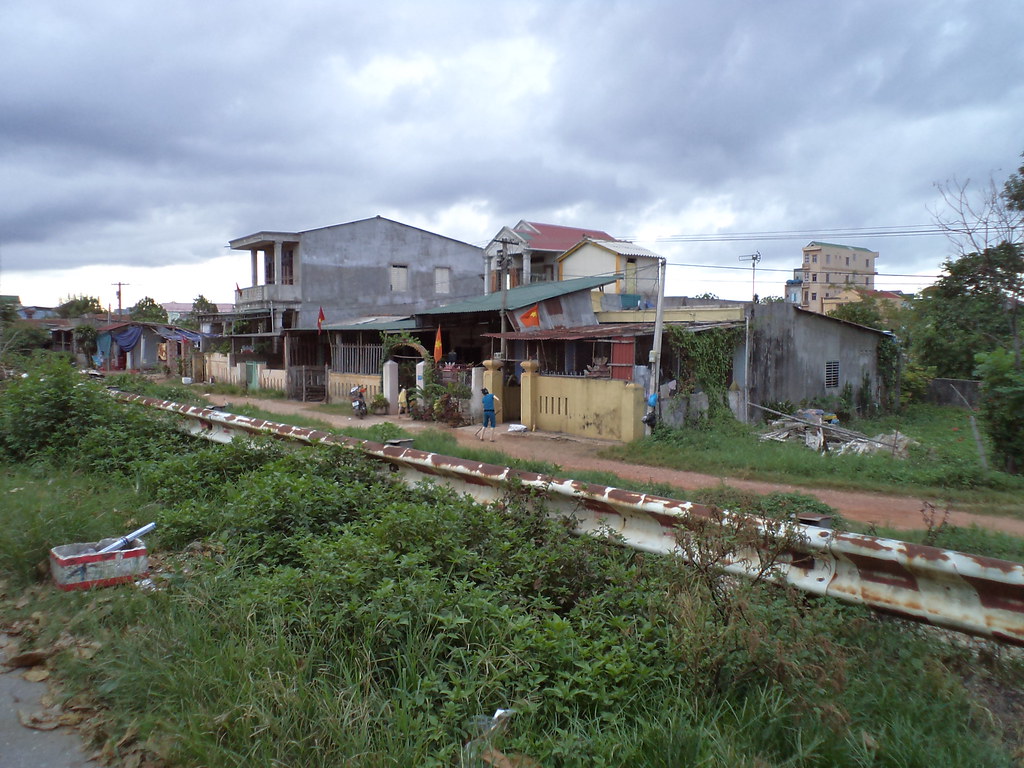
DSC03972 The Neighbors
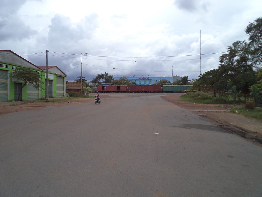
DSC03974 Ga Dông Ha
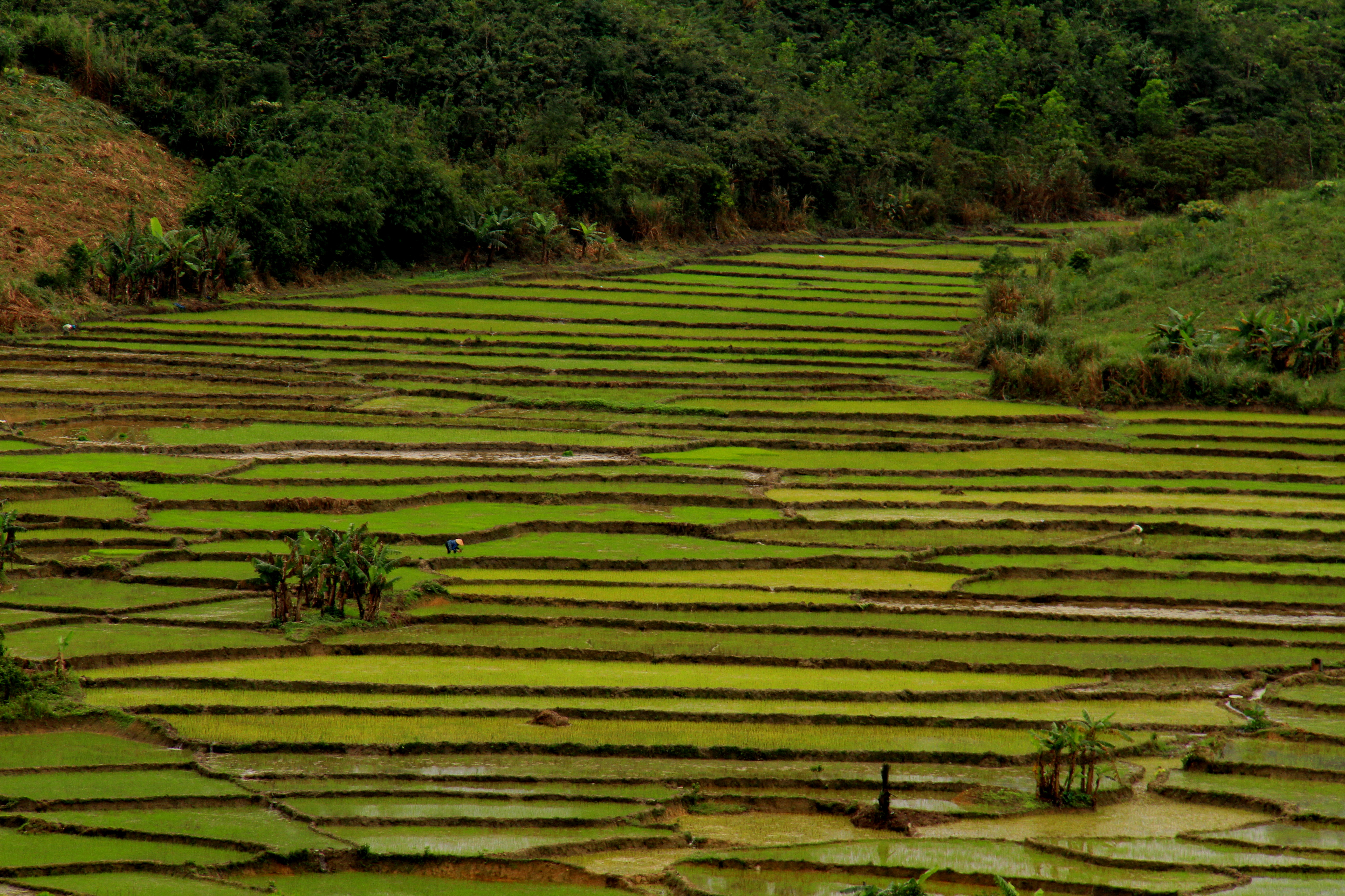
Rice Paddies
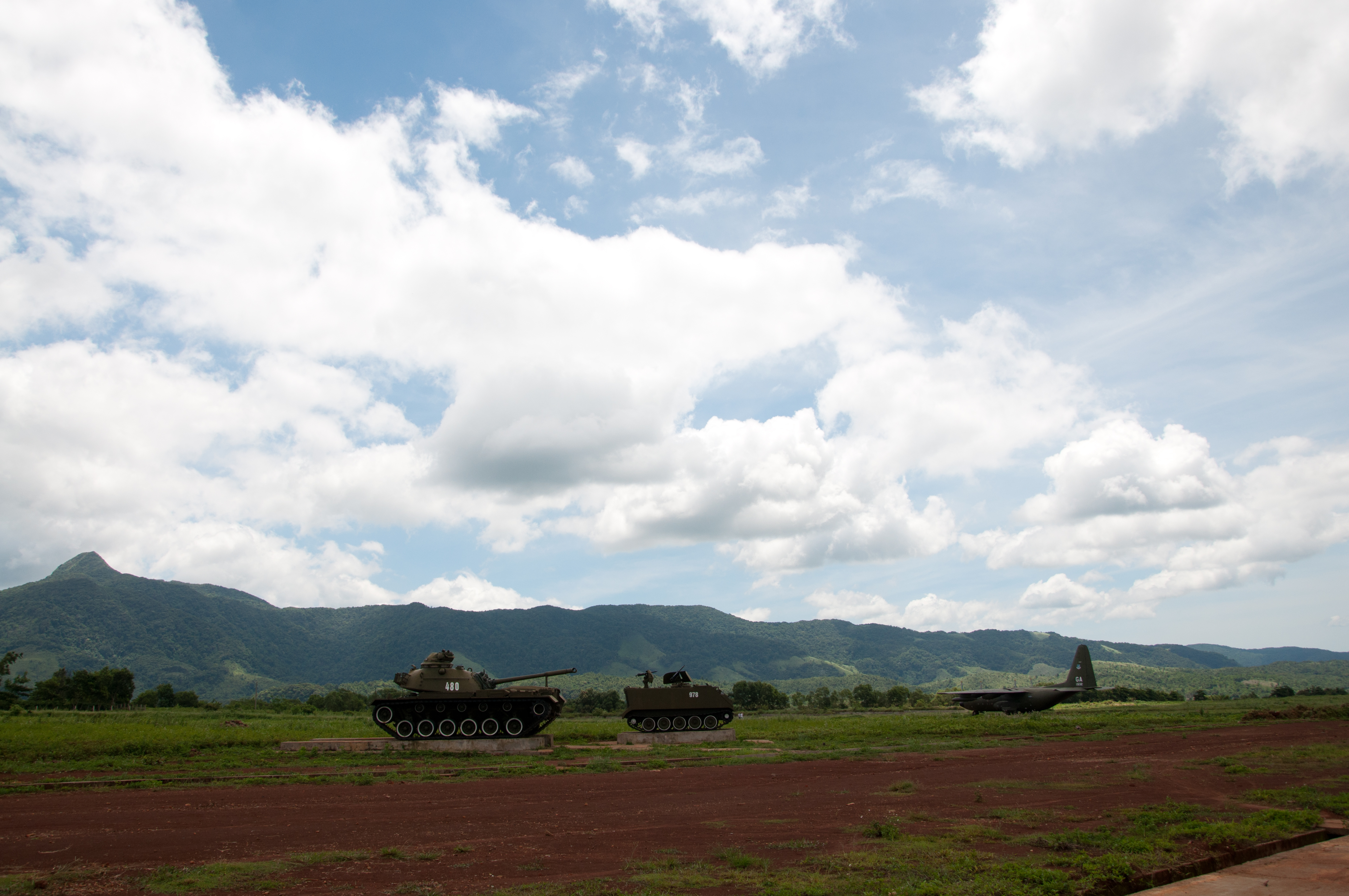
Oude US-legerbasis
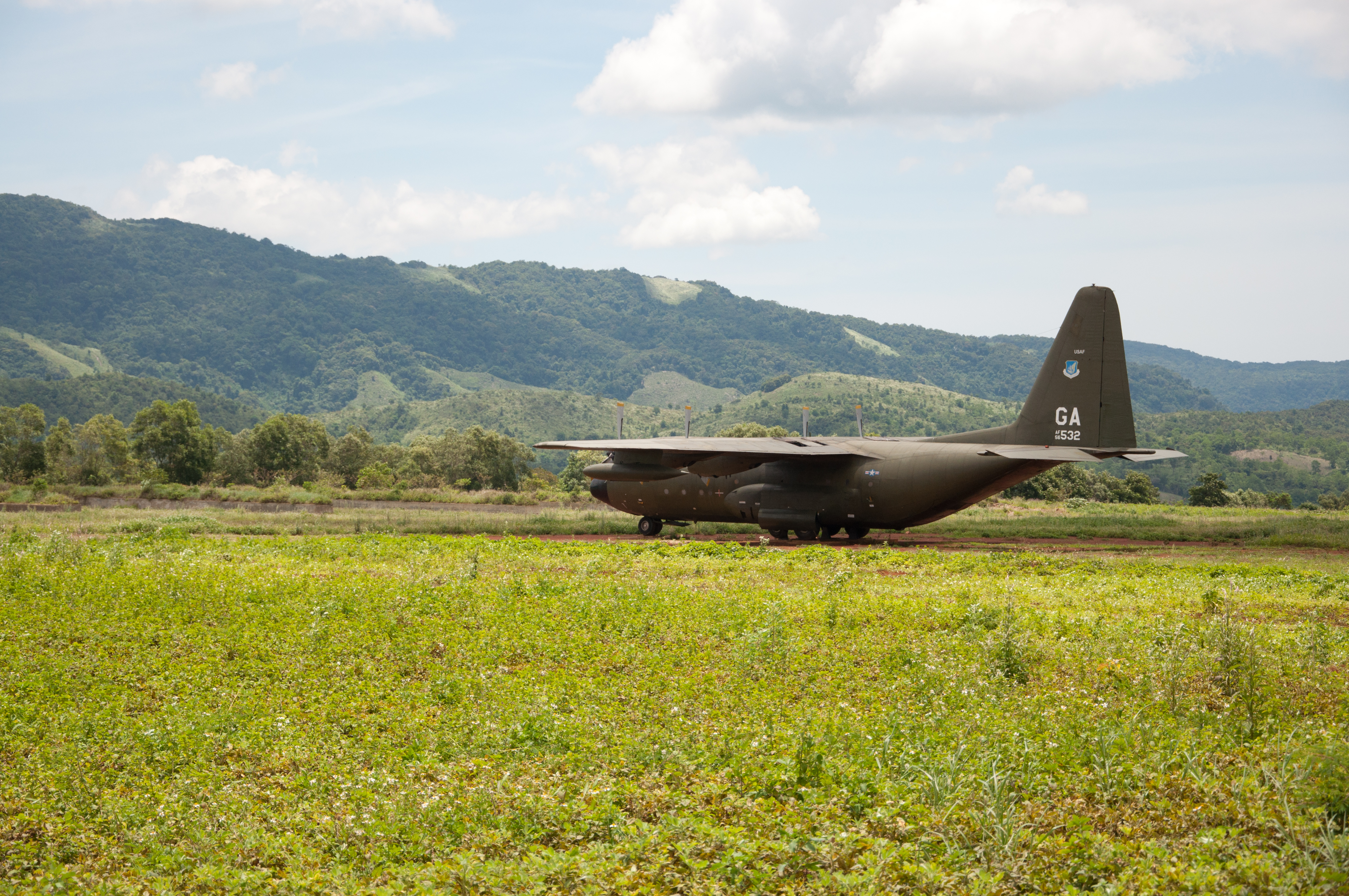
Oude US-legerbasis
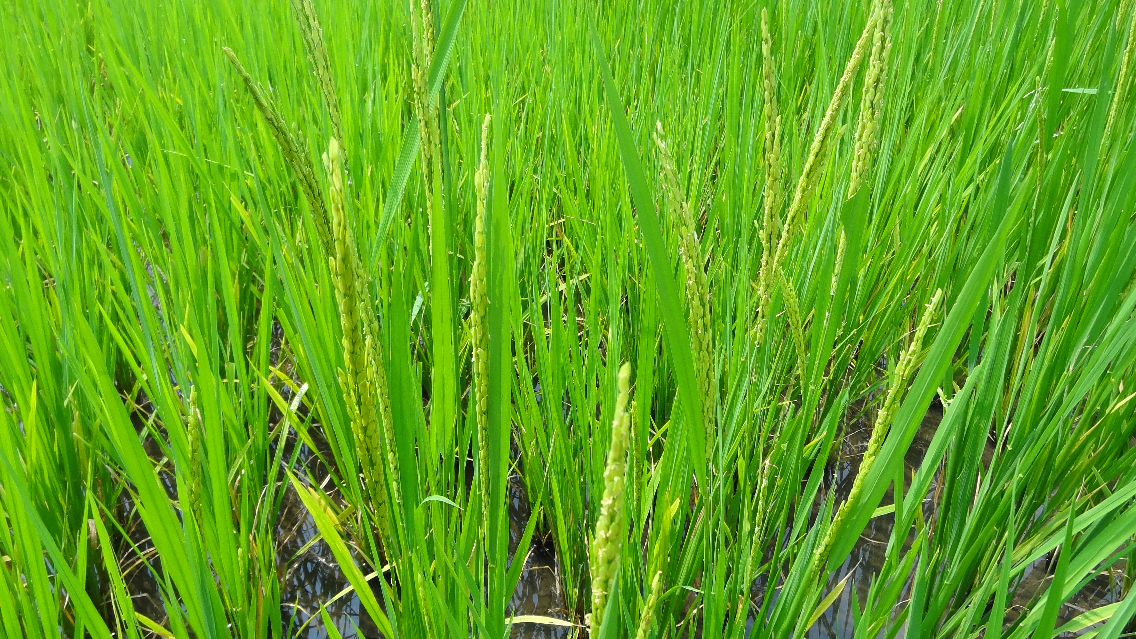
Close-Up of Rice on Plants Near Hue, Central Vietnam
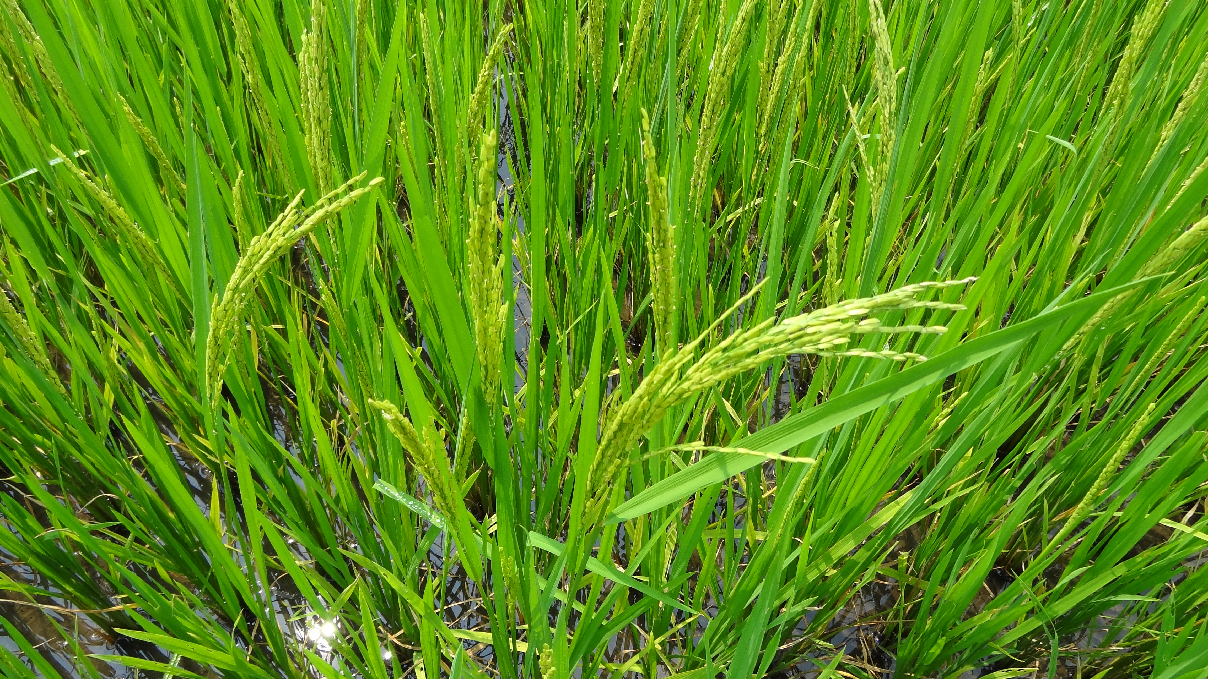
Close-Up of Rice Plants, Central Vietnam

Sunset at the Countryside ...

The Rockpile
R0058826.JPG
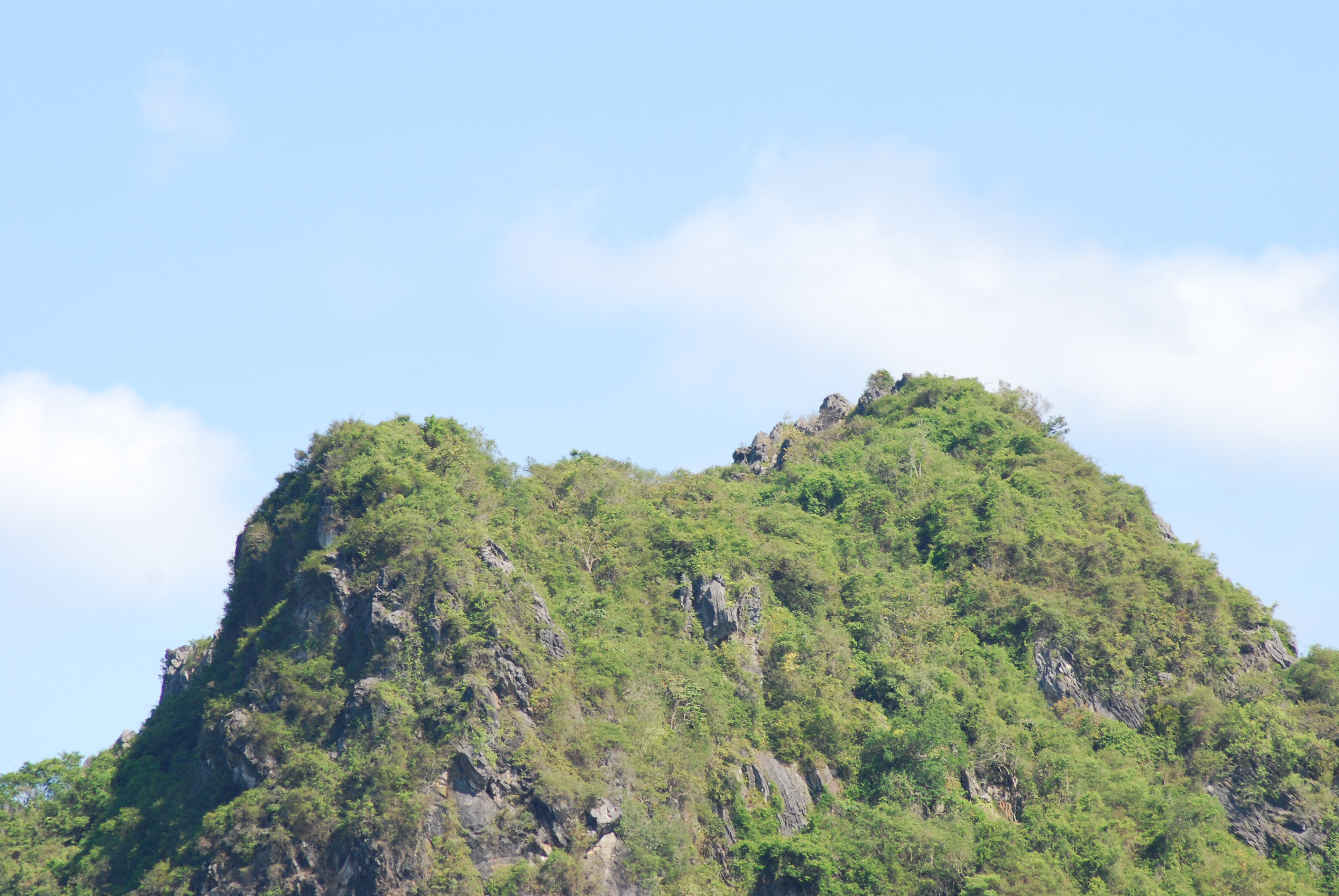
The Rockpile
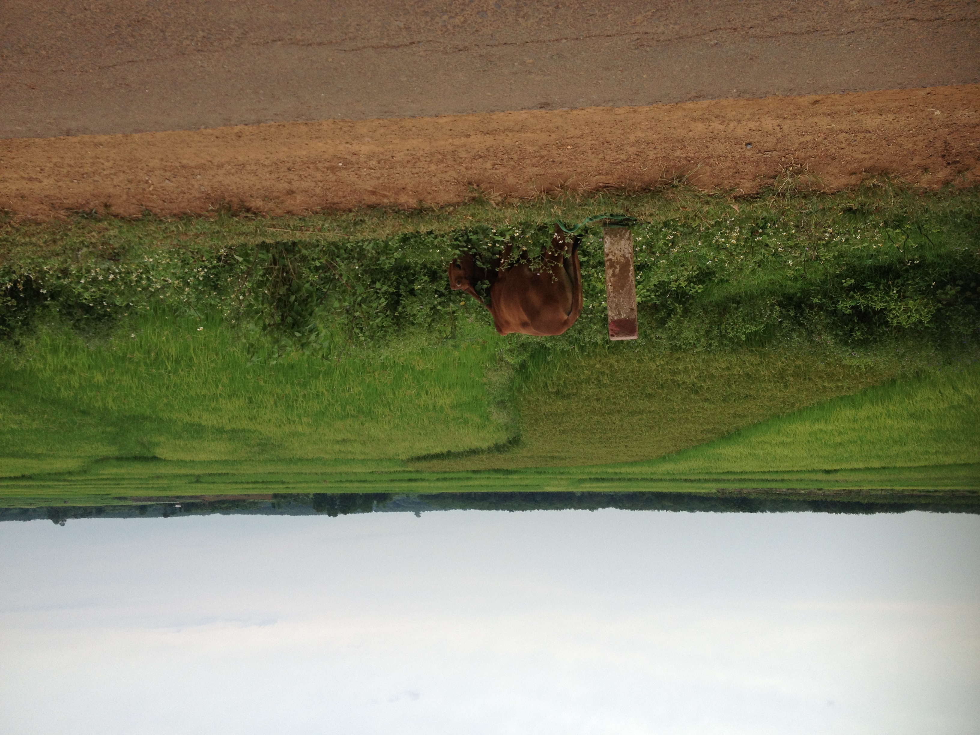
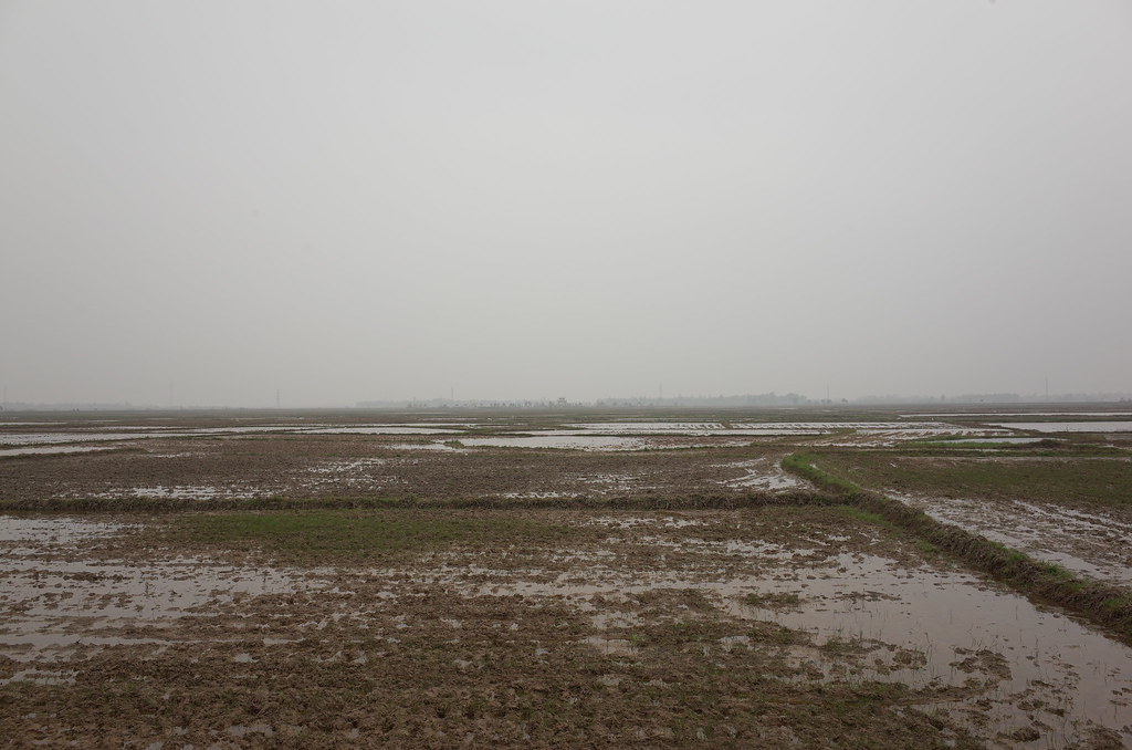
Rice fields
Chuyến phượt cuối thời Sinh Viên | Vĩnh Linh 1 - 4 - 2018

[repost] hoàng hôn...
Topographic Map of Cam Lộ District, Quảng Trị Province, Vietnam
Find elevation by address:

Places near Cam Lộ District, Quảng Trị Province, Vietnam:
Quảng Trị Province
Đông Hà
Quảng Trị
Tà Long
Đa Krông
Phong Điền
Phong Điền District
Công Ty Cổ Phần Chăn Nuôi C.p Việt Nam - Chi Nhánh đông Lạnh Thừa Thiên Huế
Phong Hải
Tây Lộc
Tiệm Tiện Tăng Bua Các Loại Bằng Máy Tự Động Sự
Huế
Thua Thien Hue
144 Phạm Văn Đồng
Thành Phố Huế
Laguna Lăng Cô Golf Club
Sekong Province
Hòa Ninh
Hòa Ninh
Bà Nà Hills Resort
Recent Searches:
- Elevation of Elwyn Dr, Roanoke Rapids, NC, USA
- Elevation of Congressional Dr, Stevensville, MD, USA
- Elevation of Bellview Rd, McLean, VA, USA
- Elevation of Stage Island Rd, Chatham, MA, USA
- Elevation of Shibuya Scramble Crossing, 21 Udagawacho, Shibuya City, Tokyo -, Japan
- Elevation of Jadagoniai, Kaunas District Municipality, Lithuania
- Elevation of Pagonija rock, Kranto 7-oji g. 8"N, Kaunas, Lithuania
- Elevation of Co Rd 87, Jamestown, CO, USA
- Elevation of Tenjo, Cundinamarca, Colombia
- Elevation of Côte-des-Neiges, Montreal, QC H4A 3J6, Canada