Elevation of Phong Điền, Phong Điền District, Thua Thien Hue, Vietnam
Location: Vietnam > Thua Thien Hue > Phong Điền District >
Longitude: 107.367143
Latitude: 16.5745189
Elevation: 6m / 20feet
Barometric Pressure: 101KPa
Elevation Map:
Satellite Map:
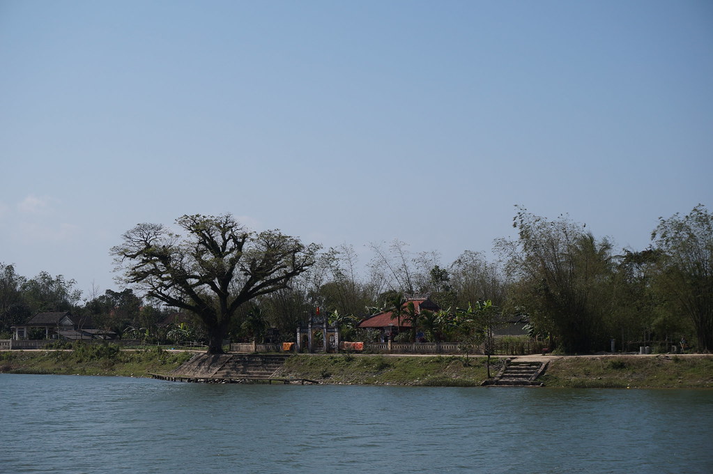
Related Photos:

Women transplanting rice; Thua Thien-Hue Province, Vietnam

the vietnamese conical hat

Image acquired by Sentinel-2B on 2019 February 15 at 3:33 UTC. Centre coordinates: 16.67 N, 107.39 E.

Vietnams Landschaft

2013-06-22_12h27m18s
DSC01810.JPG

Sen Quế Lâm - Huế

Sen Quế Lâm - Huế

DSC00586.JPG

DSC00532.JPG

DSC00529.JPG

DSC00585.JPG

DSC00577.JPG
Topographic Map of Phong Điền, Phong Điền District, Thua Thien Hue, Vietnam
Find elevation by address:

Places near Phong Điền, Phong Điền District, Thua Thien Hue, Vietnam:
Công Ty Cổ Phần Chăn Nuôi C.p Việt Nam - Chi Nhánh đông Lạnh Thừa Thiên Huế
Phong Điền District
Phong Hải
Tây Lộc
Tiệm Tiện Tăng Bua Các Loại Bằng Máy Tự Động Sự
Huế
Quảng Trị
Thua Thien Hue
Thành Phố Huế
144 Phạm Văn Đồng
Đông Hà
Đa Krông
Tà Long
Cam Lộ District
Quảng Trị Province
Laguna Lăng Cô Golf Club
Hòa Ninh
Hòa Ninh
Bà Nà Hills Resort
Ba Na Hills Đà Nẵng
Recent Searches:
- Elevation of Leguwa, Nepal
- Elevation of County Rd, Enterprise, AL, USA
- Elevation of Kolchuginsky District, Vladimir Oblast, Russia
- Elevation of Shustino, Vladimir Oblast, Russia
- Elevation of Lampiasi St, Sarasota, FL, USA
- Elevation of Elwyn Dr, Roanoke Rapids, NC, USA
- Elevation of Congressional Dr, Stevensville, MD, USA
- Elevation of Bellview Rd, McLean, VA, USA
- Elevation of Stage Island Rd, Chatham, MA, USA
- Elevation of Shibuya Scramble Crossing, 21 Udagawacho, Shibuya City, Tokyo -, Japan