Elevation of Poway, CA, USA
Location: United States > California > San Diego County >
Longitude: -117.03586
Latitude: 32.9628232
Elevation: 155m / 509feet
Barometric Pressure: 99KPa
Elevation Map:
Satellite Map:
Related Photos:
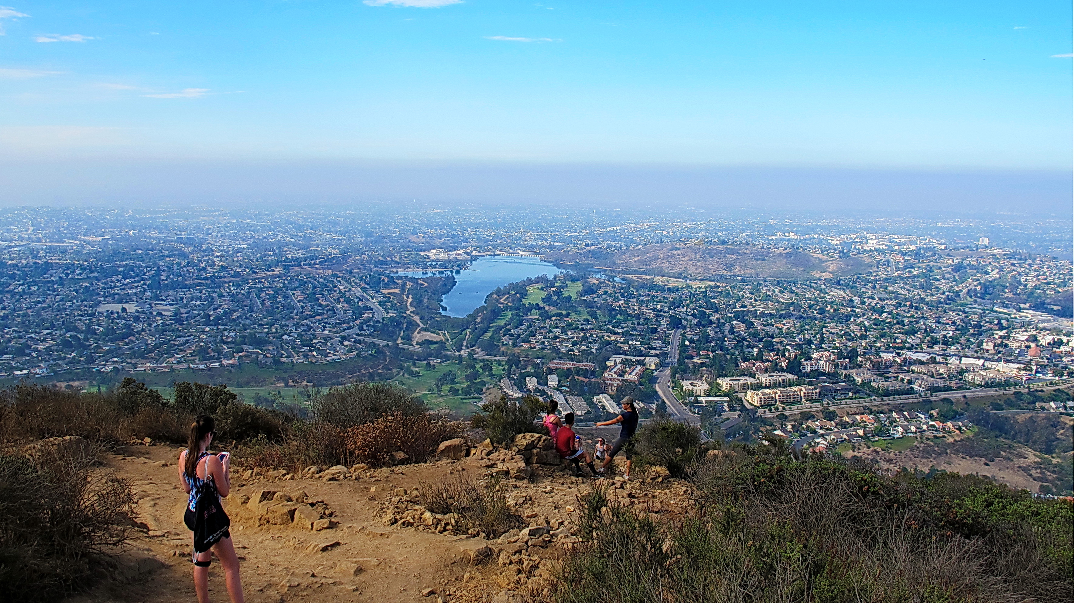
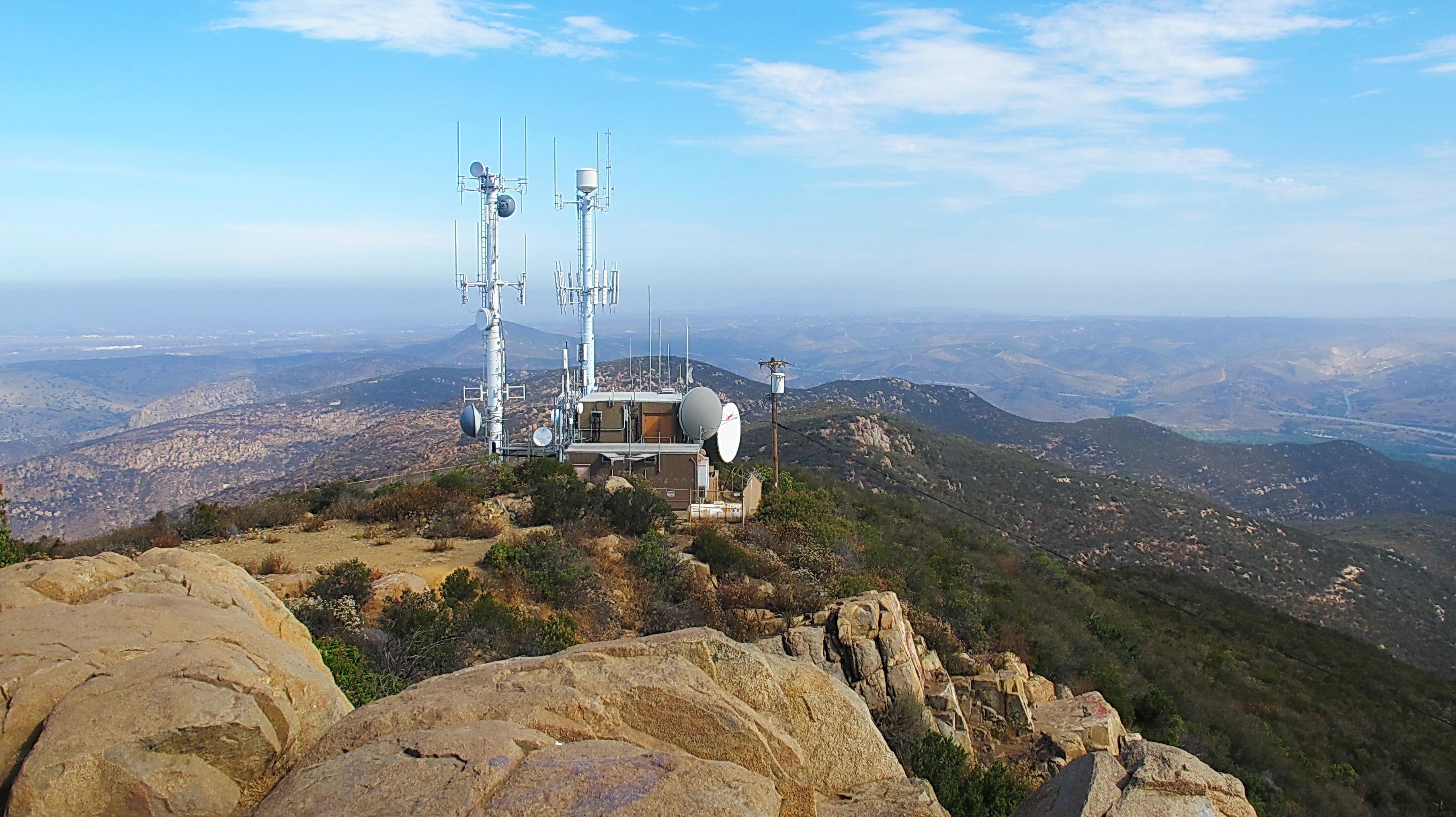
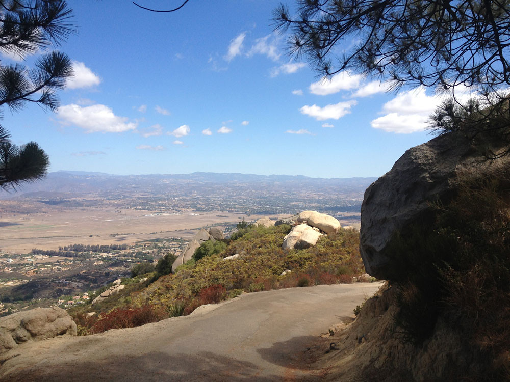
Cowles Mountain Summit looking south

Lake Hodges

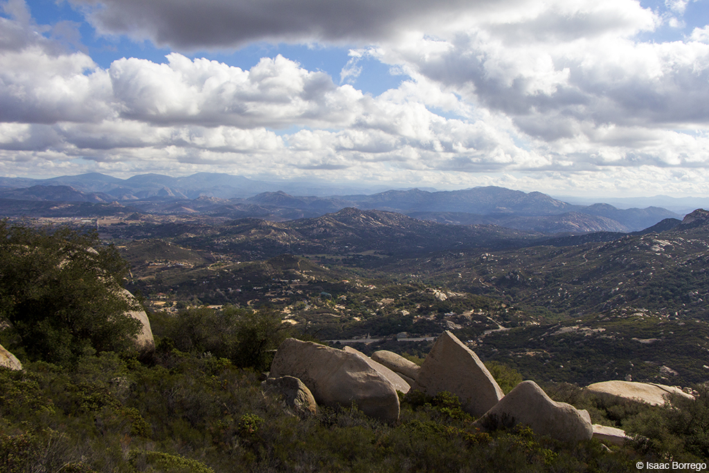
Rocks and suburban San Diego County. View from the top of Blue Rock Mountain.

Rocks and suburban San Diego County. View from the top of Blue Rock Mountain.

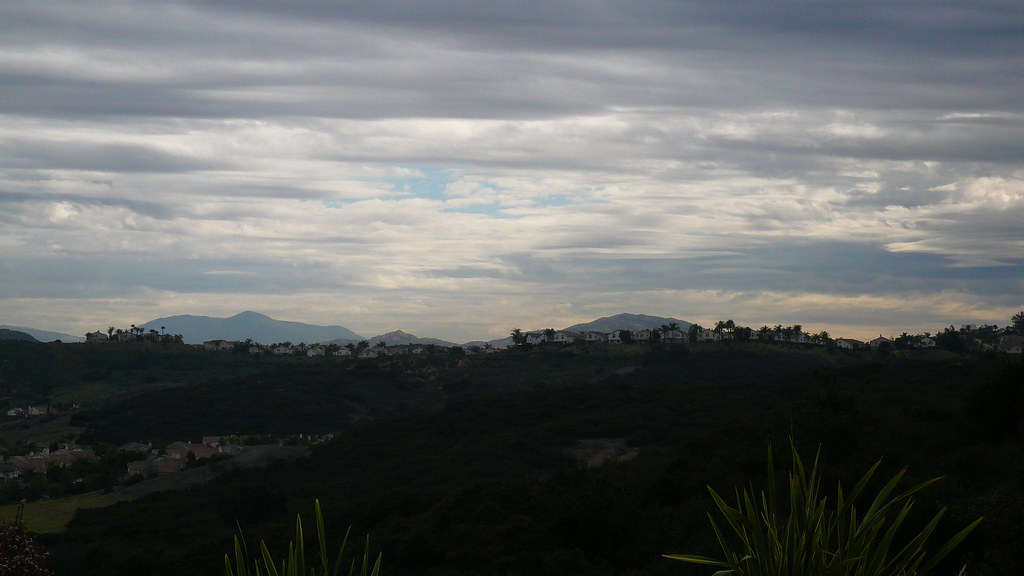
cloudy morning...

Balloon areal view between Del Mar & Rancho Santafe-CA
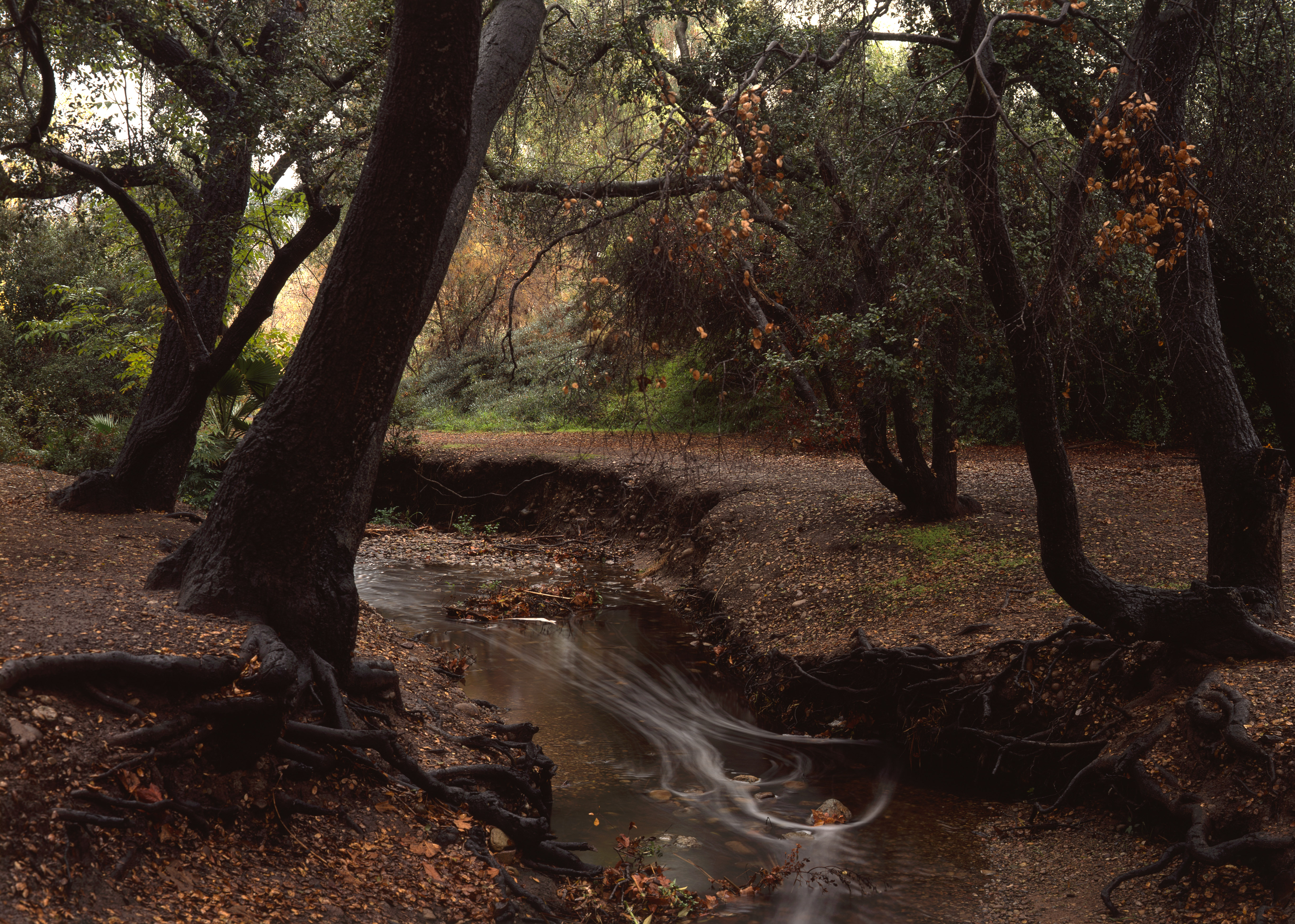
poway creeks - bette bendixen
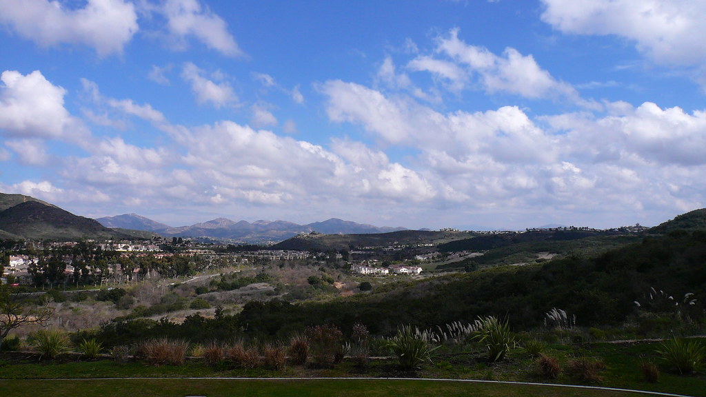
Southern California Hills
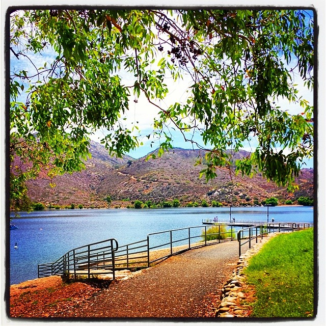
Lake Poway #lakepoway #poway #sd#sandiego #California #beautiful #laje #water #nature #landscape #view#hills
View to north from Cowles Summit - San Diego
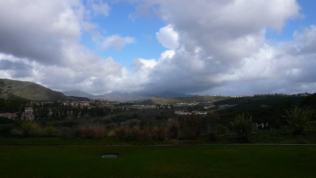
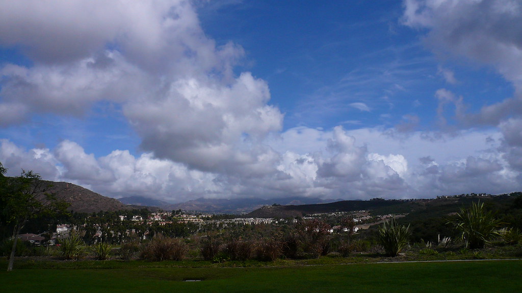
Afternoon Clouds - 2/9/09
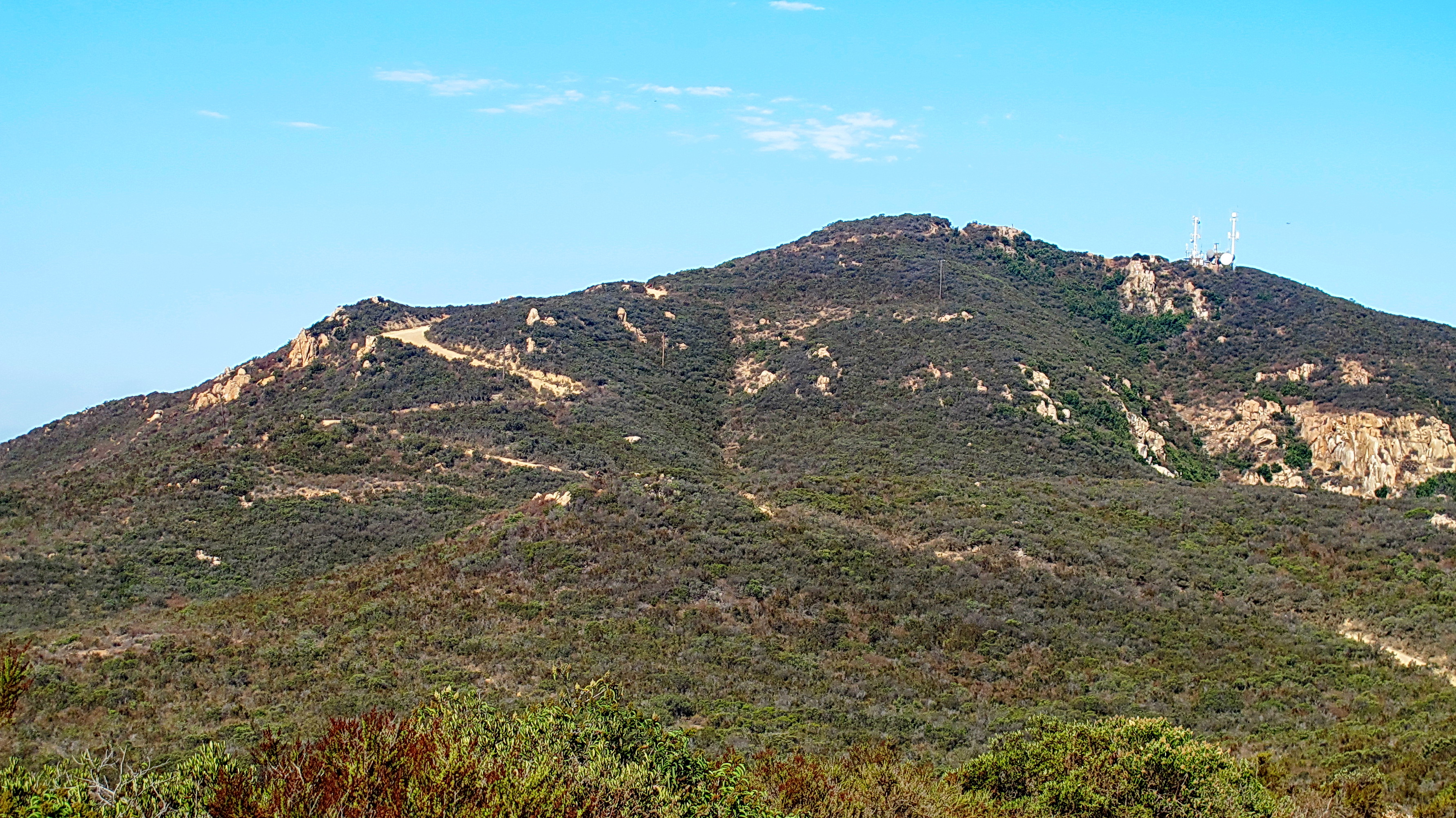
North approach to Cowles Mountan
Afternoon View - 2/6/09
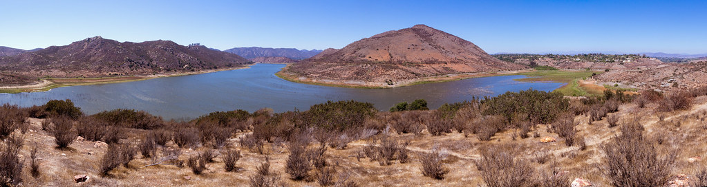
Panorama View of Lake Hodges
Afternoon View - 2/5/09
Mid Morning View - 1/21/09
Mount Woodson View

Reflections In An Enchanted Lake - Infrared
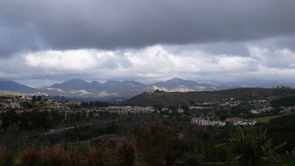
Afternoon view 11/4/08

View Northeast

Late afternoon view 12/18/08
Topographic Map of Poway, CA, USA
Find elevation by address:

Places in Poway, CA, USA:
Old Poway
Community Road
Conley Street
Pepper Tree Ln, Poway, CA, USA
Silver Lake Drive
Iron Mountain Trail
Markar Road
Silverset Street
Places near Poway, CA, USA:
13711 Somerset Rd
13409 Midland Rd
13513 Melissa Ln
13887 Olive Mill Way
14020 Mazatlan Way
Old Poway
13454 Pequot Dr
Kentfield Dr, Poway, CA, USA
14533 Poway Mesa Ct
13165 Triumph Dr
Silver Lake Drive
Silverset Street
15015 Derringer Rd
15015 Derringer Rd
15015 Derringer Rd
13614 Frame Rd
13371 Summit Cir
14869 Sunrise Dr
14533 Rutledge Square
Recent Searches:
- Elevation of Corso Fratelli Cairoli, 35, Macerata MC, Italy
- Elevation of Tallevast Rd, Sarasota, FL, USA
- Elevation of 4th St E, Sonoma, CA, USA
- Elevation of Black Hollow Rd, Pennsdale, PA, USA
- Elevation of Oakland Ave, Williamsport, PA, USA
- Elevation of Pedrógão Grande, Portugal
- Elevation of Klee Dr, Martinsburg, WV, USA
- Elevation of Via Roma, Pieranica CR, Italy
- Elevation of Tavkvetili Mountain, Georgia
- Elevation of Hartfords Bluff Cir, Mt Pleasant, SC, USA