Elevation of Pequot Dr, Poway, CA, USA
Location: United States > California > San Diego County > Poway >
Longitude: -117.04752
Latitude: 32.9616404
Elevation: 217m / 712feet
Barometric Pressure: 99KPa
Elevation Map:
Satellite Map:
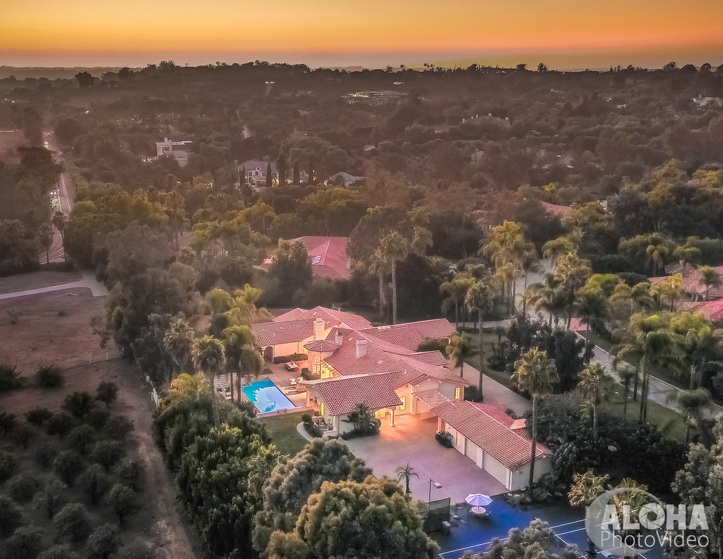
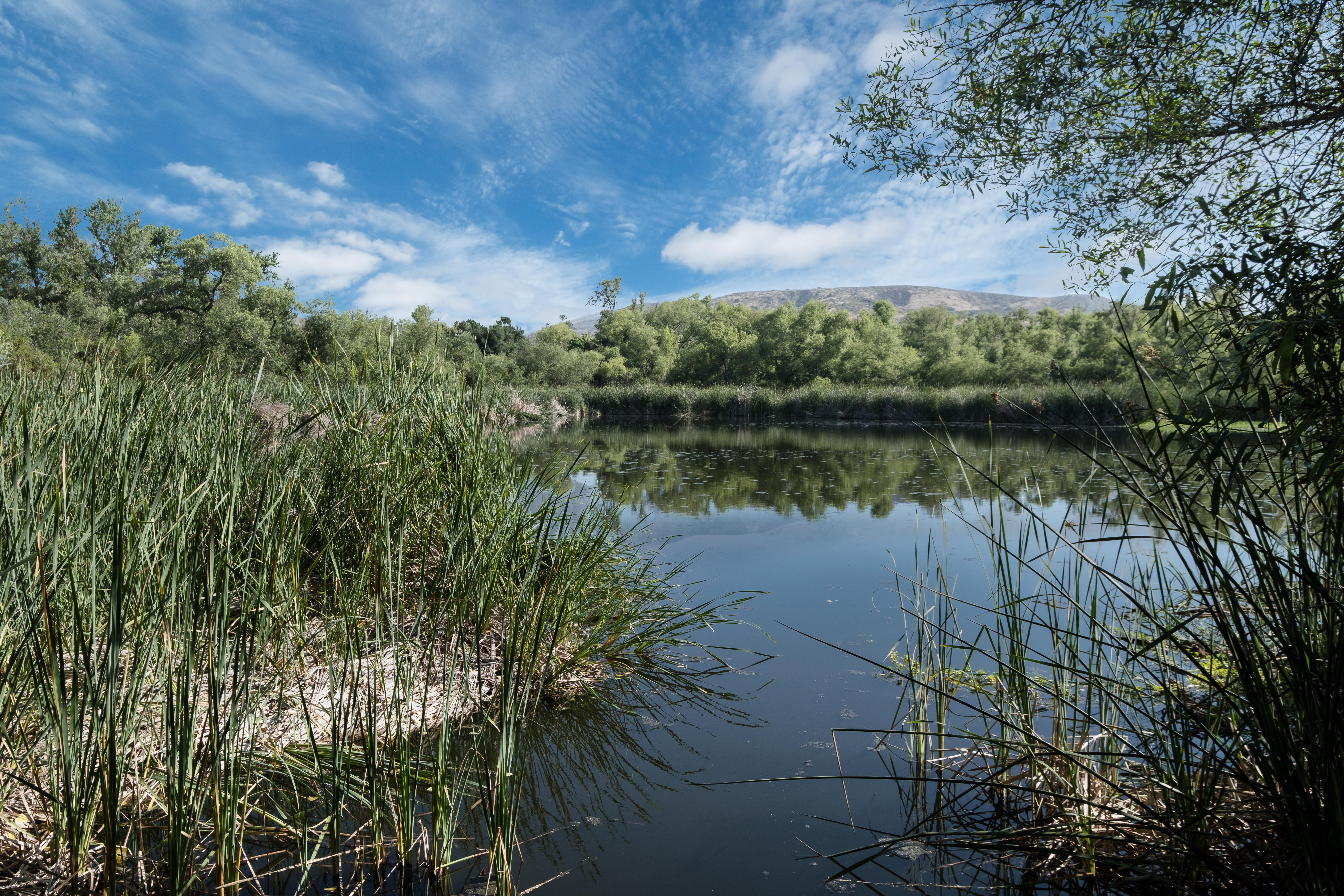
Related Photos:

Lake Hodges

Peeking through an opening between two big rocks.

Color and Textures

Fuzzy Flowers and Anna’s Hummingbird

Juvenile Black-chinned Hummingbird Full Frontal with Flash in Ramona, California on September 11, 2018

View from Blue Rock. Looking south.

Green with a Bit of Envy

Freshly Picked

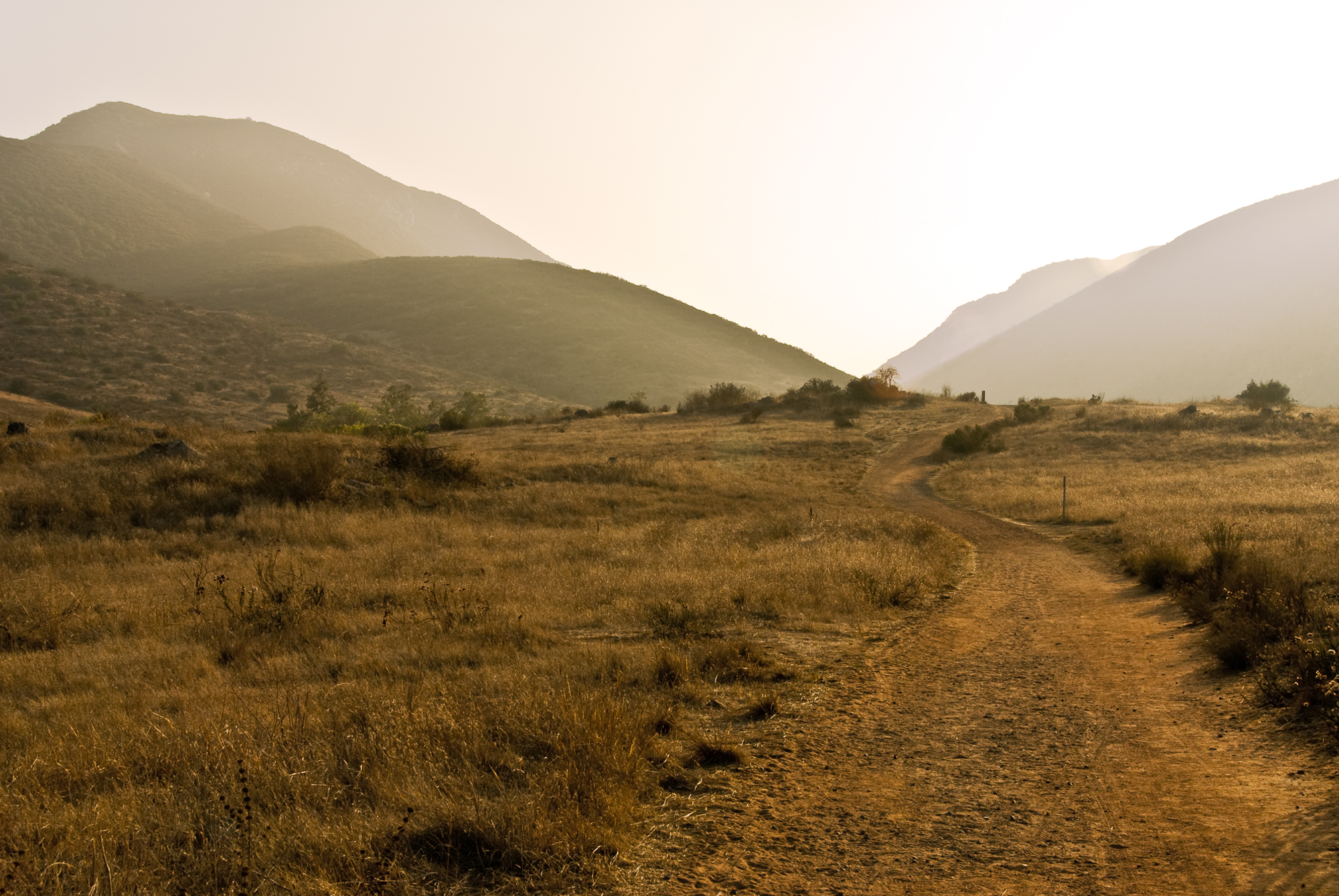
Trail or Traffic

Santee Lakes on the Winter Solstice With Sun Flare - Infrared

Rocks atop a mountain at night.

Paper Kite

another View

Another view from the top of the mountain.

Female Annas Hummer On A Mission

Looking For Food

Balloon areal view between Del Mar & Rancho Santafe-CA

CH-53

Poway Lake

cloudy morning...

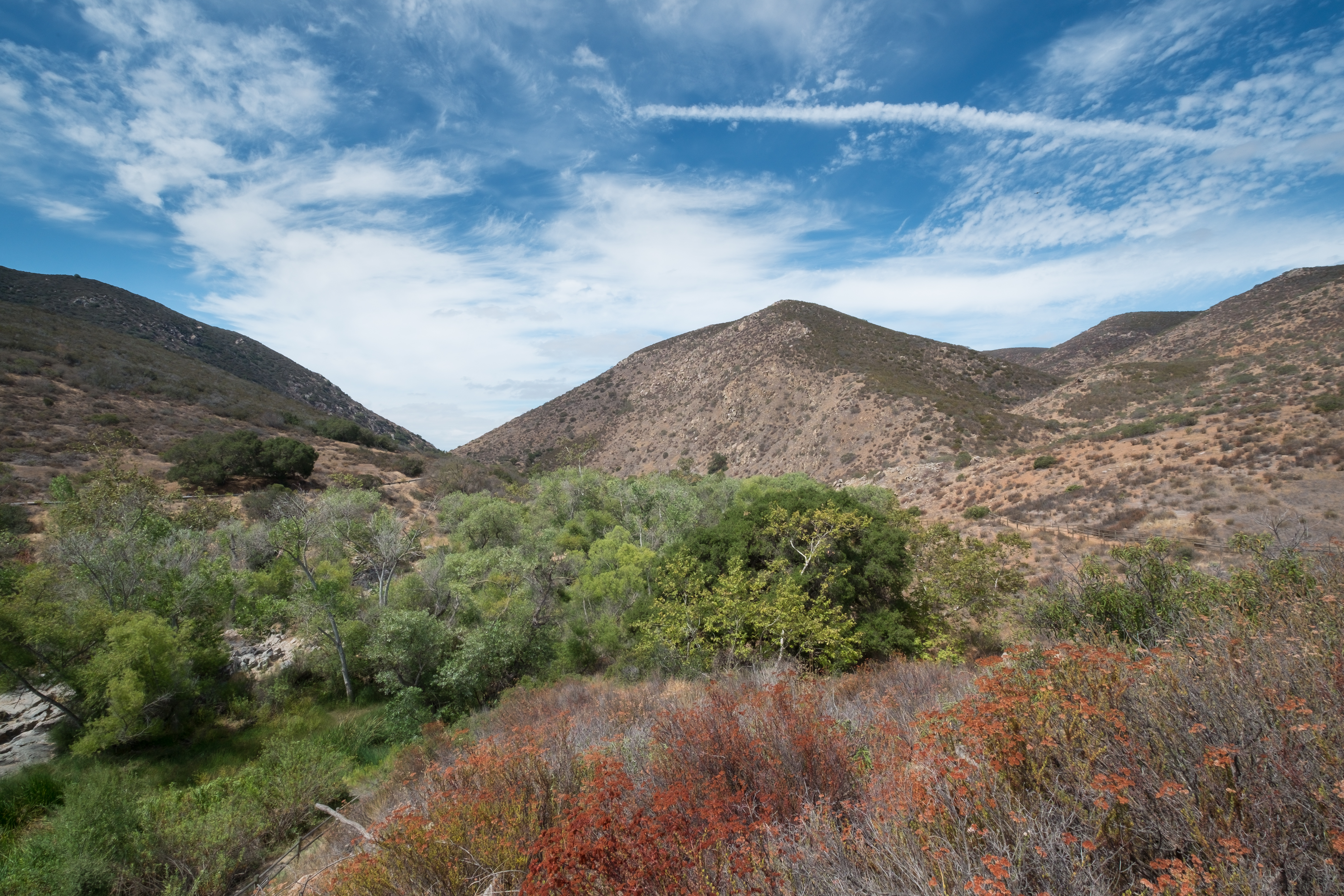
Mount Fortuna Summit
Dame I'm good... Photo by ME!! #Wine #tasting

Tree Reflections At Santee Lakes
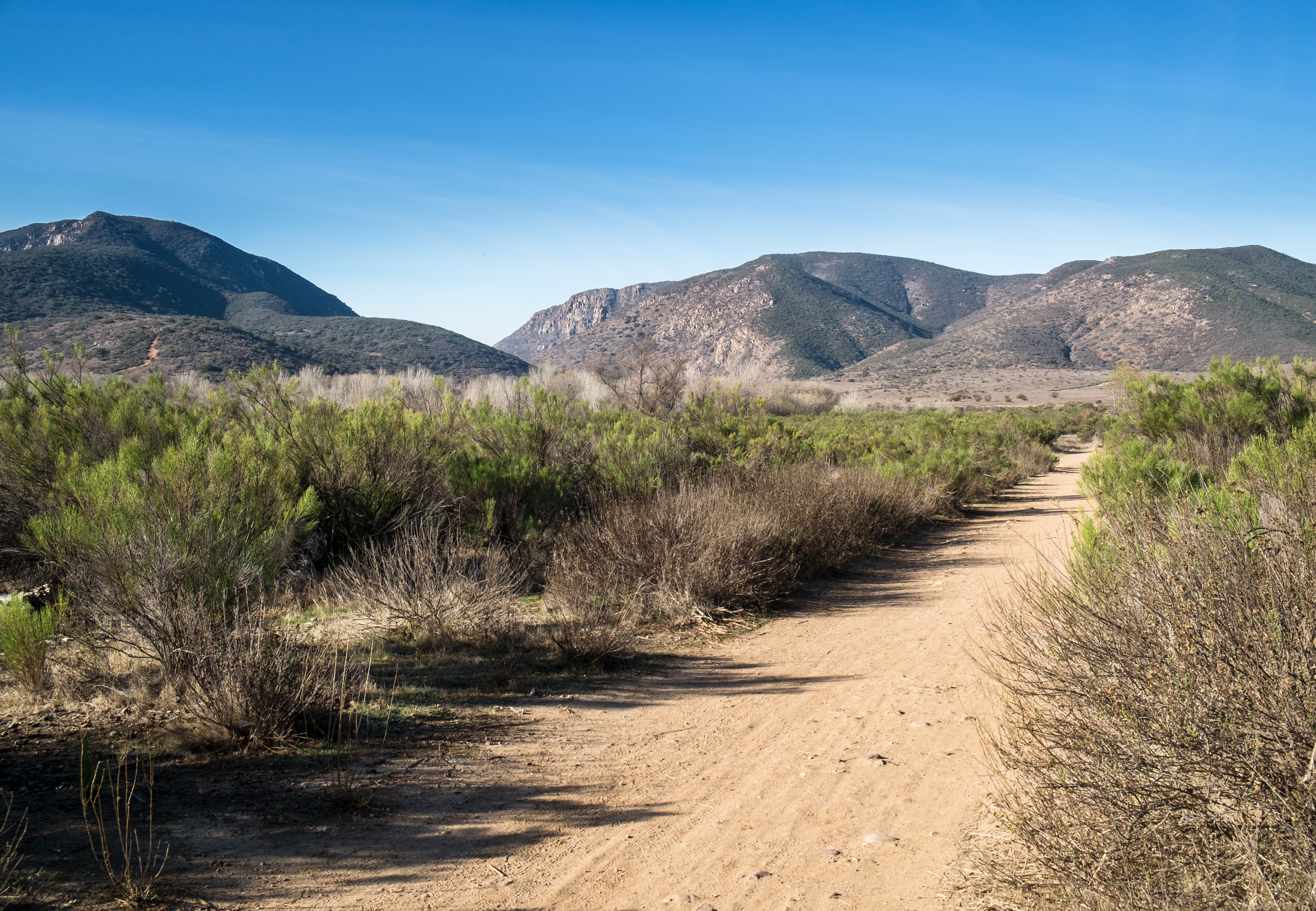
Visitor Center Loop Trail - Mission Trails Park
Sunset on the Watchman
Visitor Center Loop Trail - Mission Trails Park
PEDB20090217-023-Edit.jpg
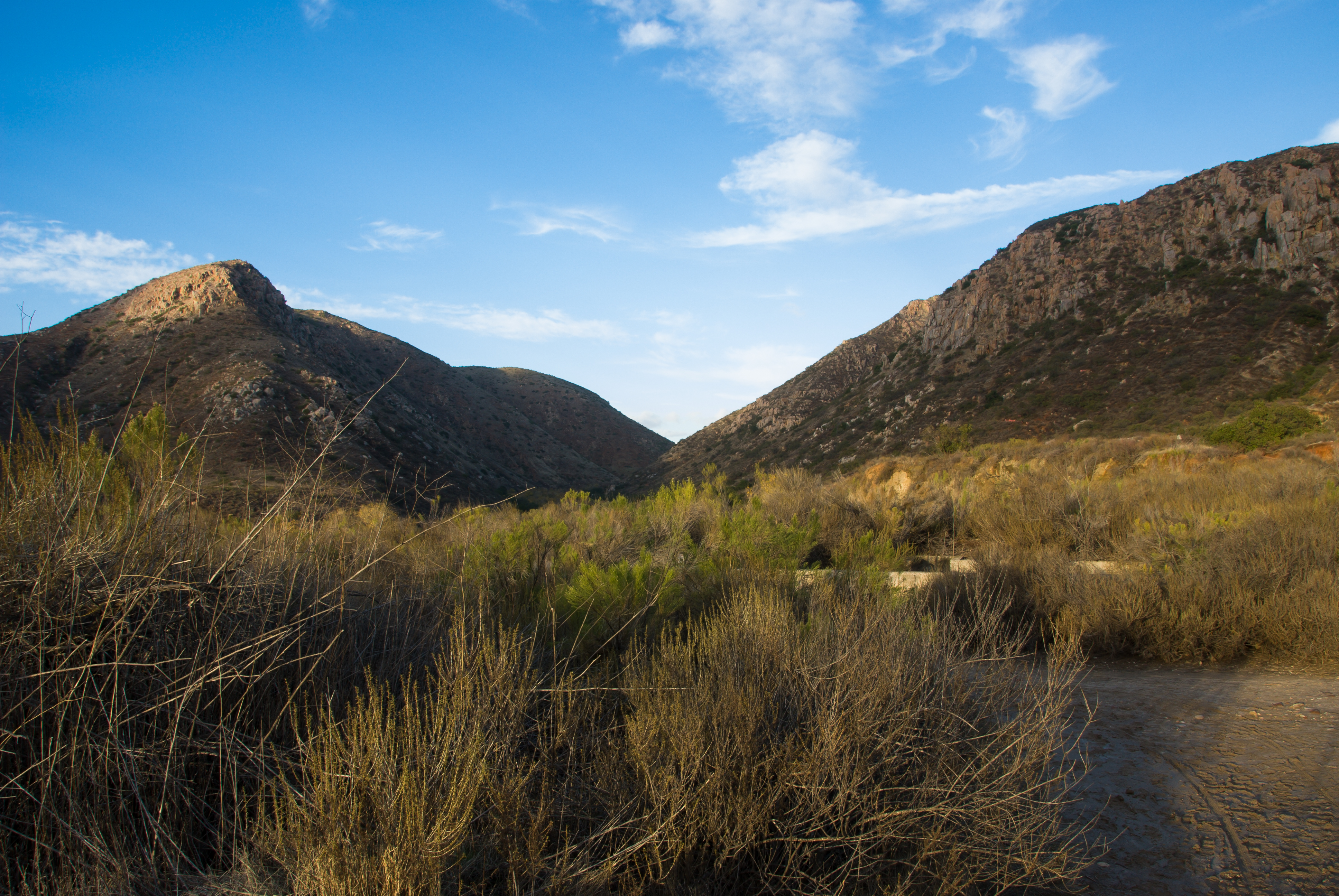
Visitor Center Loop Trail - Mission Trails Park
Oak Canyon Trail - Mission Trails Park

PEDB20130514-004.jpg
PEDB20140211-007.jpg

Sun rays through the fog

Yosemite Valley

PEDB20140411-029.jpg
PEDB20071102-013-Edit-Edit.jpg
PEDB20130402-036.jpg
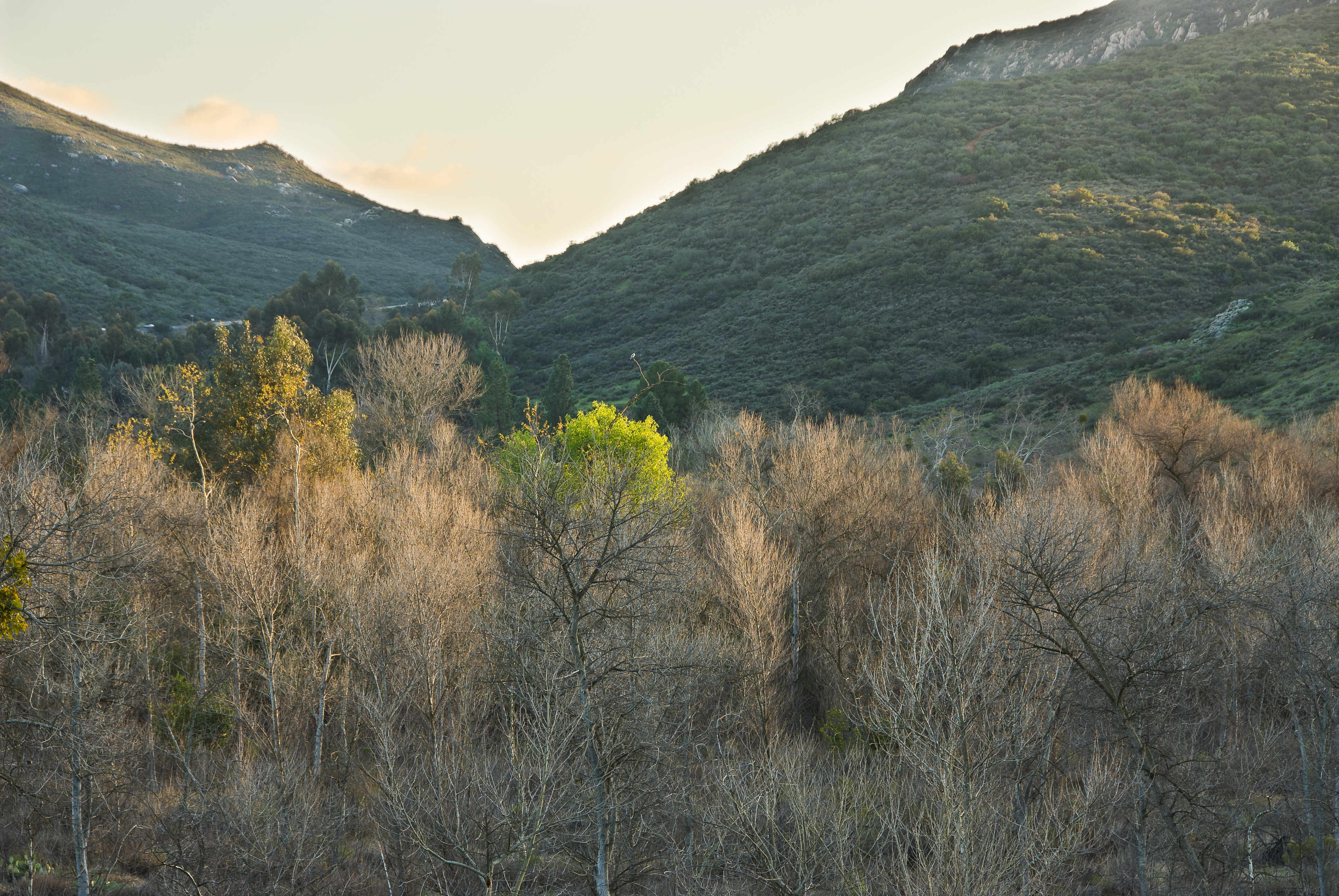
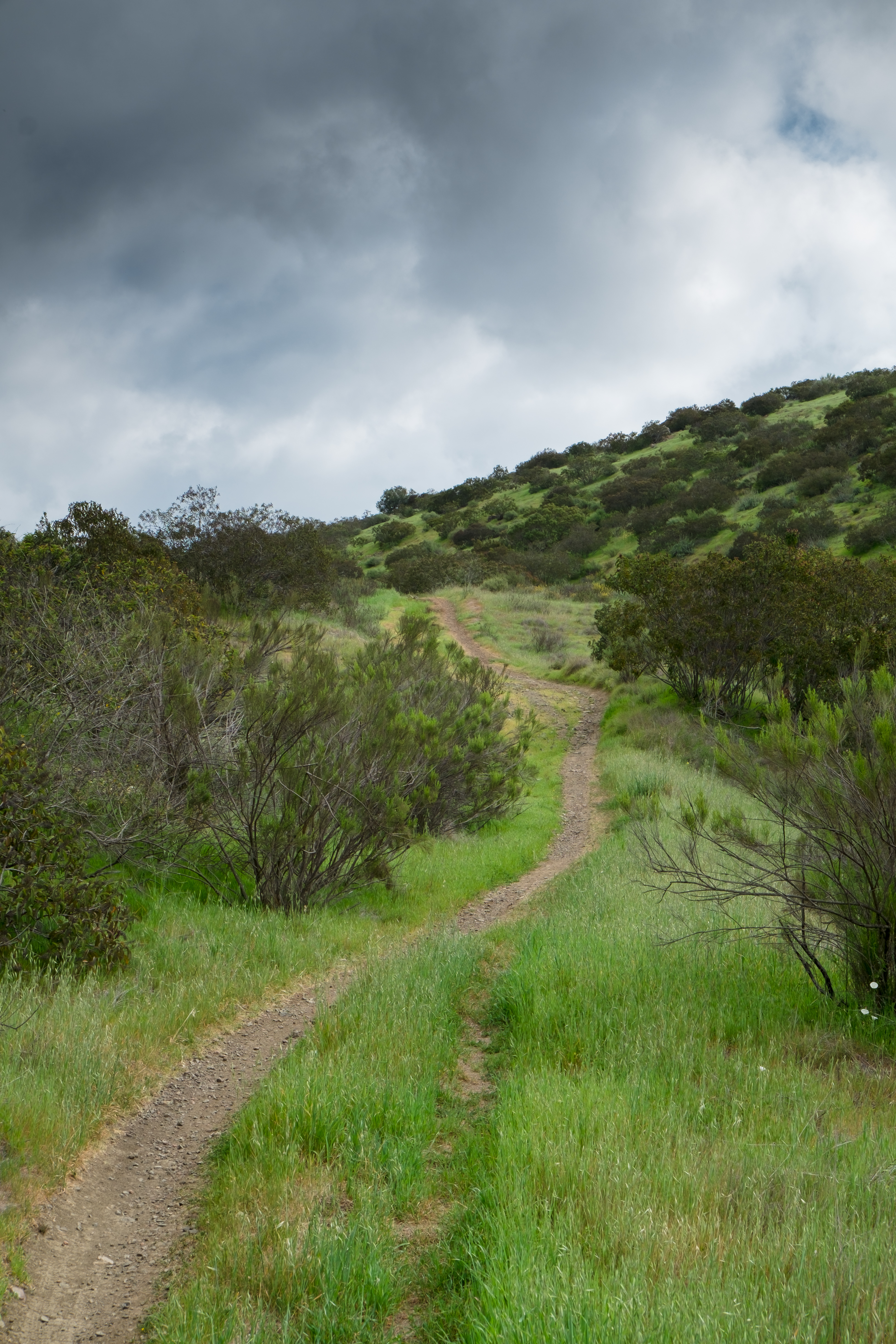
Oak Canyon Trail - Mission Trails Park

PEDB20130306-026.jpg
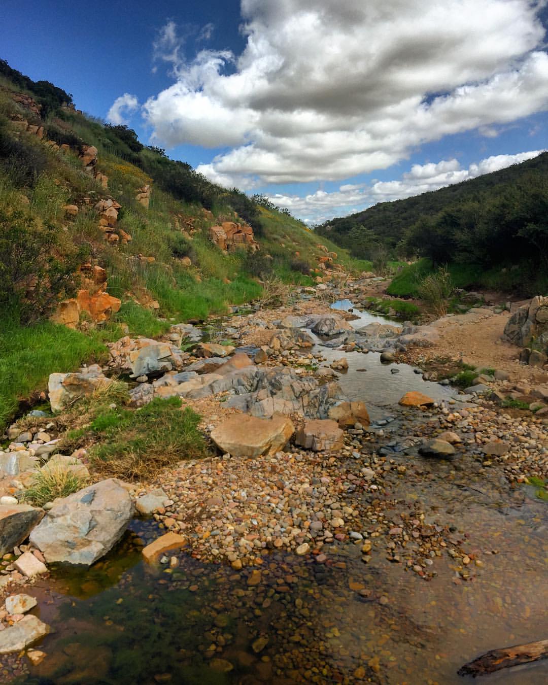
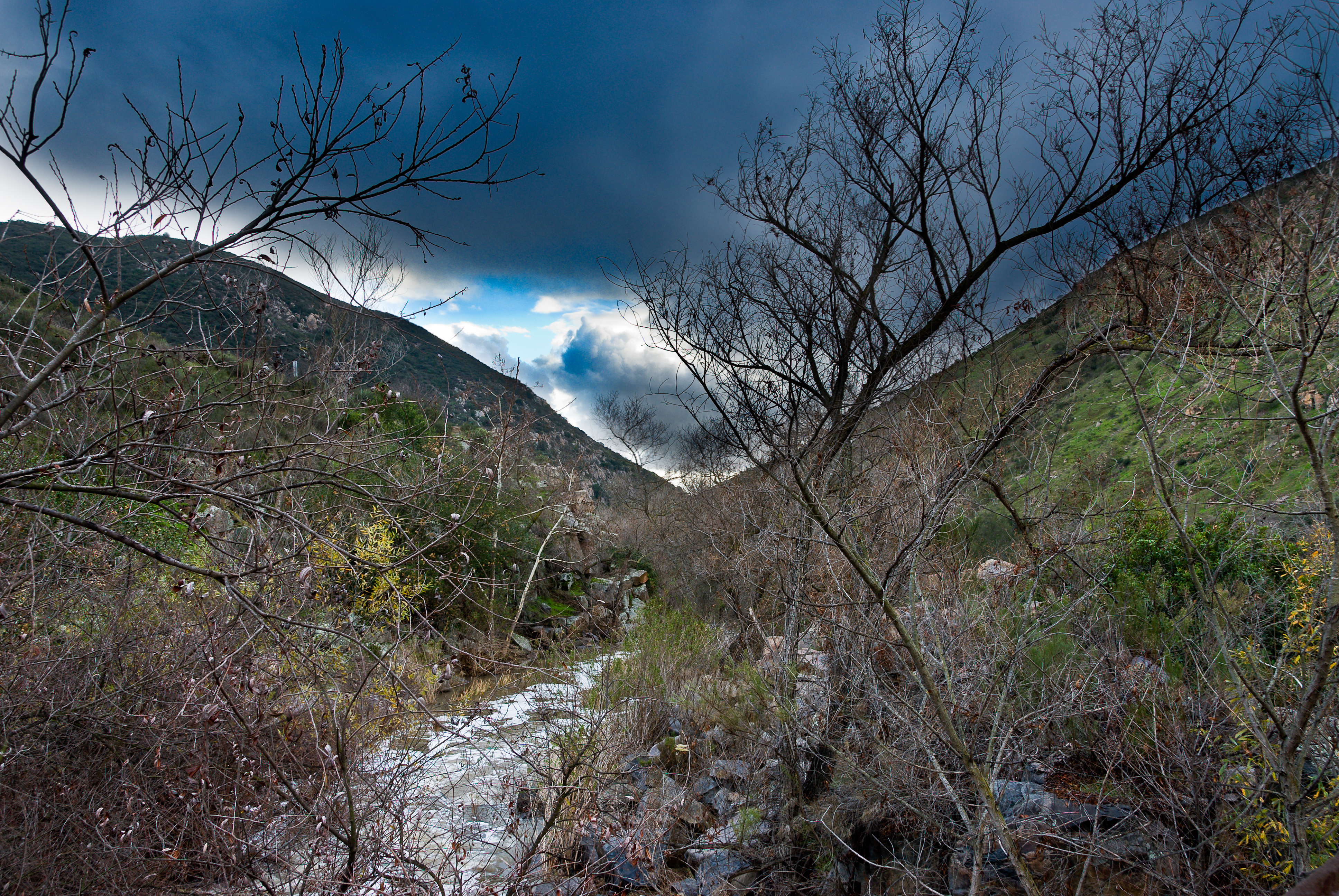
Water along Oak Canyon.
PREV_RanchoLaCima-2
PEDB20160503-024-2.jpg

PEDB20160115-063.jpg
Topographic Map of Pequot Dr, Poway, CA, USA
Find elevation by address:

Places near Pequot Dr, Poway, CA, USA:
13887 Olive Mill Way
14020 Mazatlan Way
Silver Lake Drive
Poway
13409 Midland Rd
13614 Frame Rd
13711 Somerset Rd
13513 Melissa Ln
Old Poway
14533 Poway Mesa Ct
13165 Triumph Dr
Silverset Street
Kentfield Dr, Poway, CA, USA
14869 Sunrise Dr
14533 Rutledge Square
15015 Derringer Rd
15015 Derringer Rd
15015 Derringer Rd
13371 Summit Cir
Recent Searches:
- Elevation of Gateway Blvd SE, Canton, OH, USA
- Elevation of East W.T. Harris Boulevard, E W.T. Harris Blvd, Charlotte, NC, USA
- Elevation of West Sugar Creek, Charlotte, NC, USA
- Elevation of Wayland, NY, USA
- Elevation of Steadfast Ct, Daphne, AL, USA
- Elevation of Lagasgasan, X+CQH, Tiaong, Quezon, Philippines
- Elevation of Rojo Ct, Atascadero, CA, USA
- Elevation of Flagstaff Drive, Flagstaff Dr, North Carolina, USA
- Elevation of Avery Ln, Lakeland, FL, USA
- Elevation of Woolwine, VA, USA