Elevation of Somerset Rd, Poway, CA, USA
Location: United States > California > San Diego County > Poway > Old Poway >
Longitude: -117.03283
Latitude: 32.96454
Elevation: 161m / 528feet
Barometric Pressure: 99KPa
Elevation Map:
Satellite Map:
Related Photos:

Santee Lakes on the Winter Solstice With Sun Flare - Infrared

Mega Cloud

Saturday In The Park - Infrared

Rocks atop a mountain at night.
Oak Creek Running Across Oak Creek Drive IR

another View

Paper Kite

Trees Of Santee Lakes On A Morning With Clouds

Lake Hodges

Balloon areal view between Del Mar & Rancho Santafe-CA

cloudy morning...

CH-53

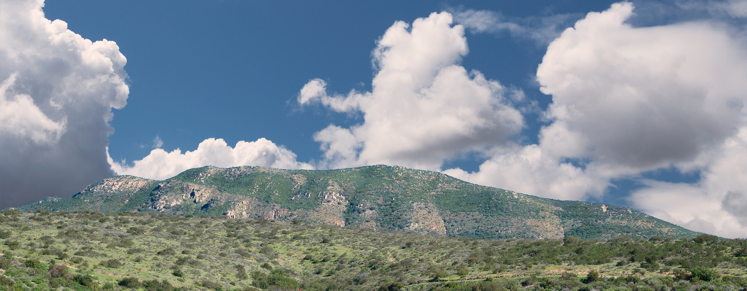
Mount Fortuna Summit

Clouds from Work on 8/25/08-My favorite of the bunch
Another panoramic view from atop Blue Rock in Santee

Color and Textures

Family Time

Mulberry Leaf Patterns
Full-on Double Rainbow Sunset iPhone Panorama

Peeking through an opening between two big rocks.

Headed For A Sugar Fix
PEDB20120703-057-Edit.jpg
PEDB20130306-026.jpg

PEDB20090217-010-Edit.jpg
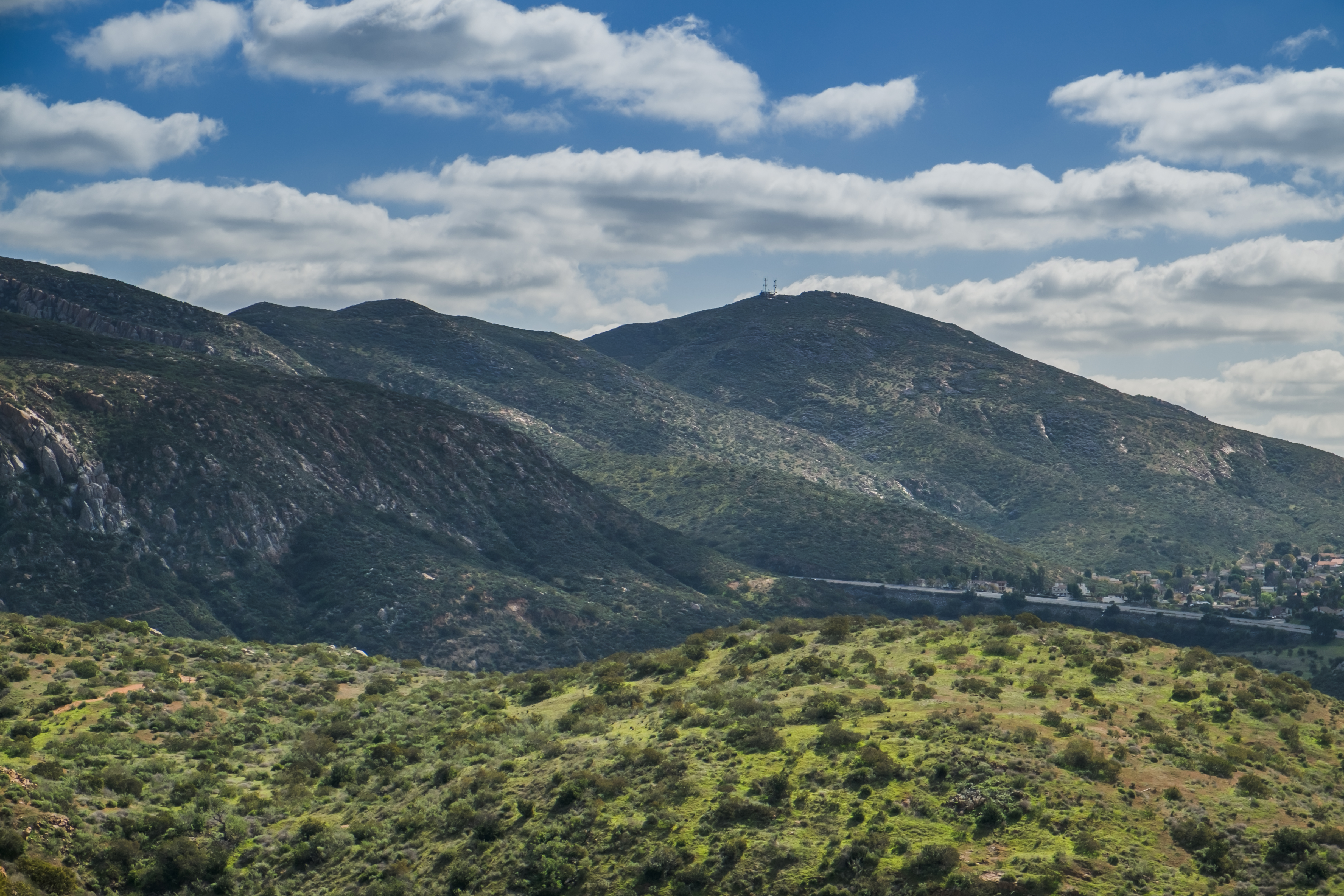
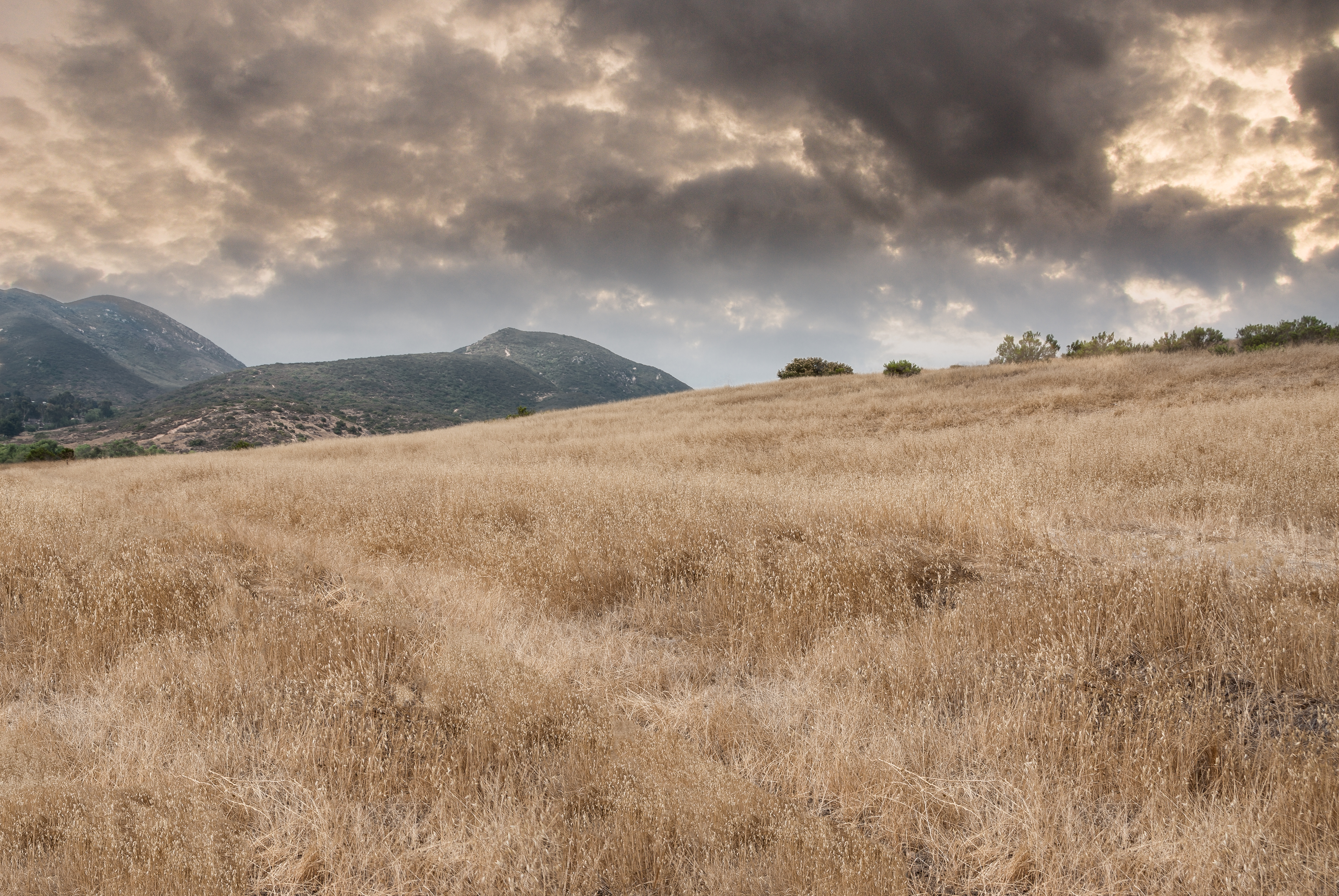
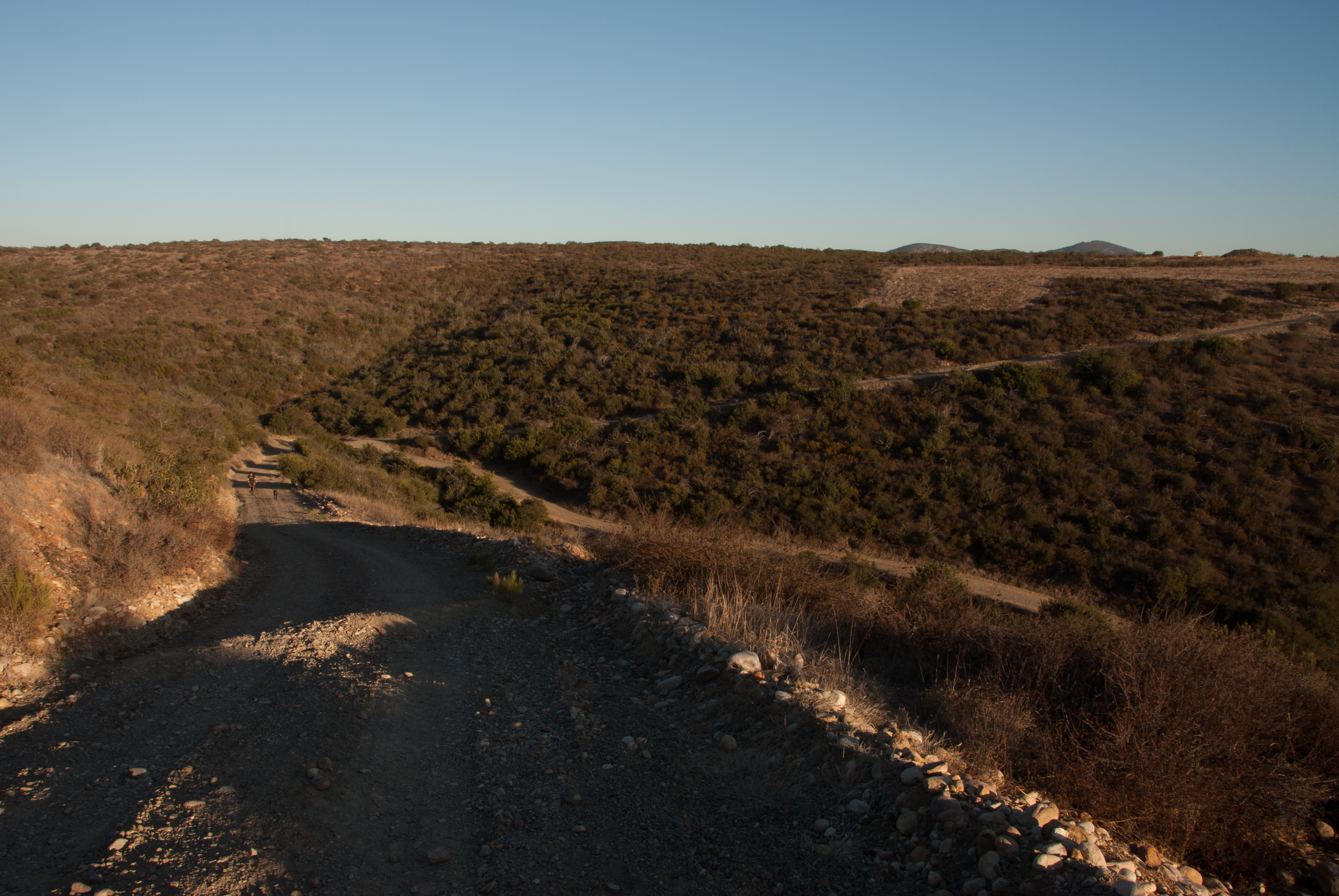
Visitor Center Loop Trail - Mission Trails Park
Visitor Center Loop Trail - Mission Trails Park
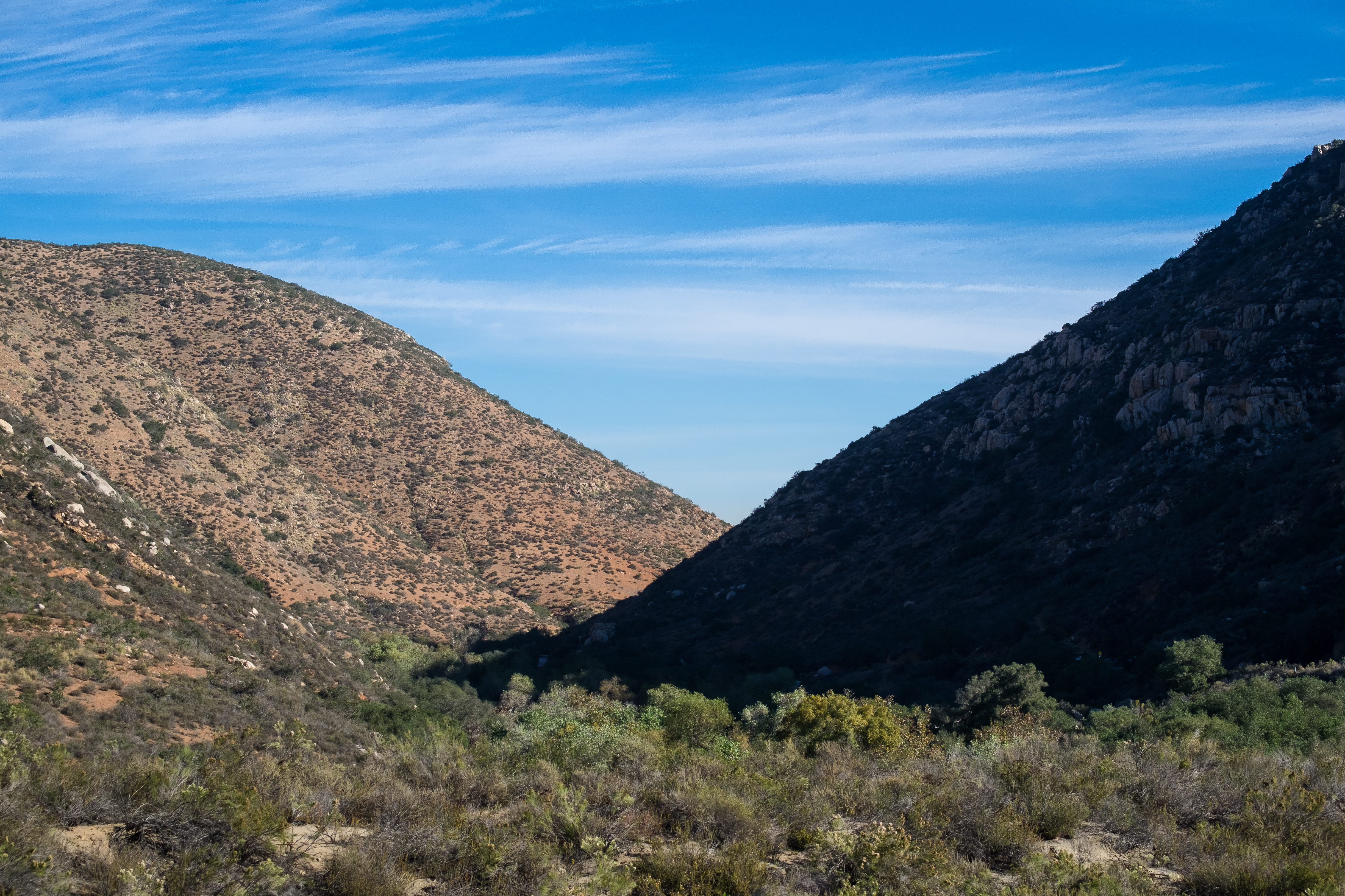
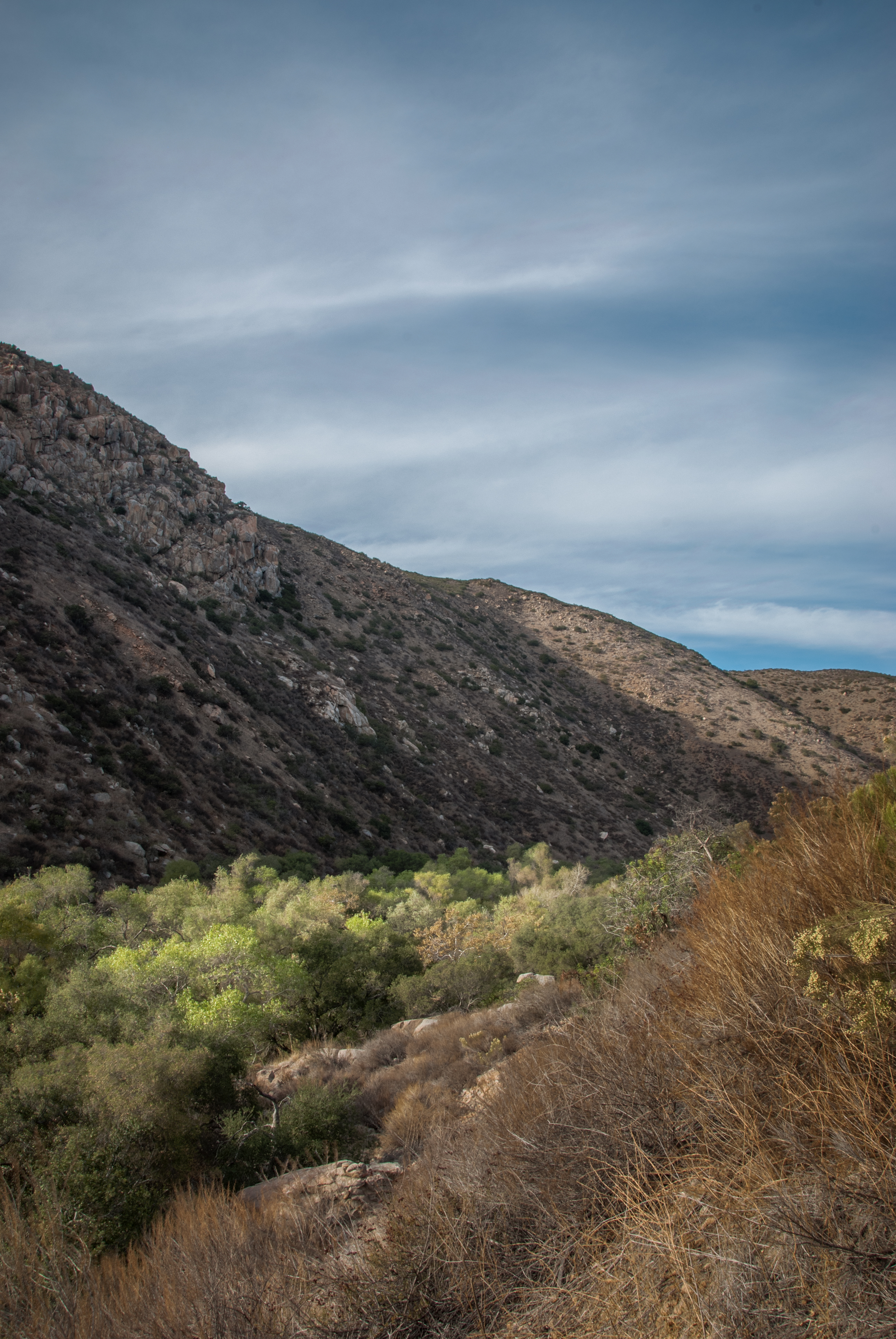
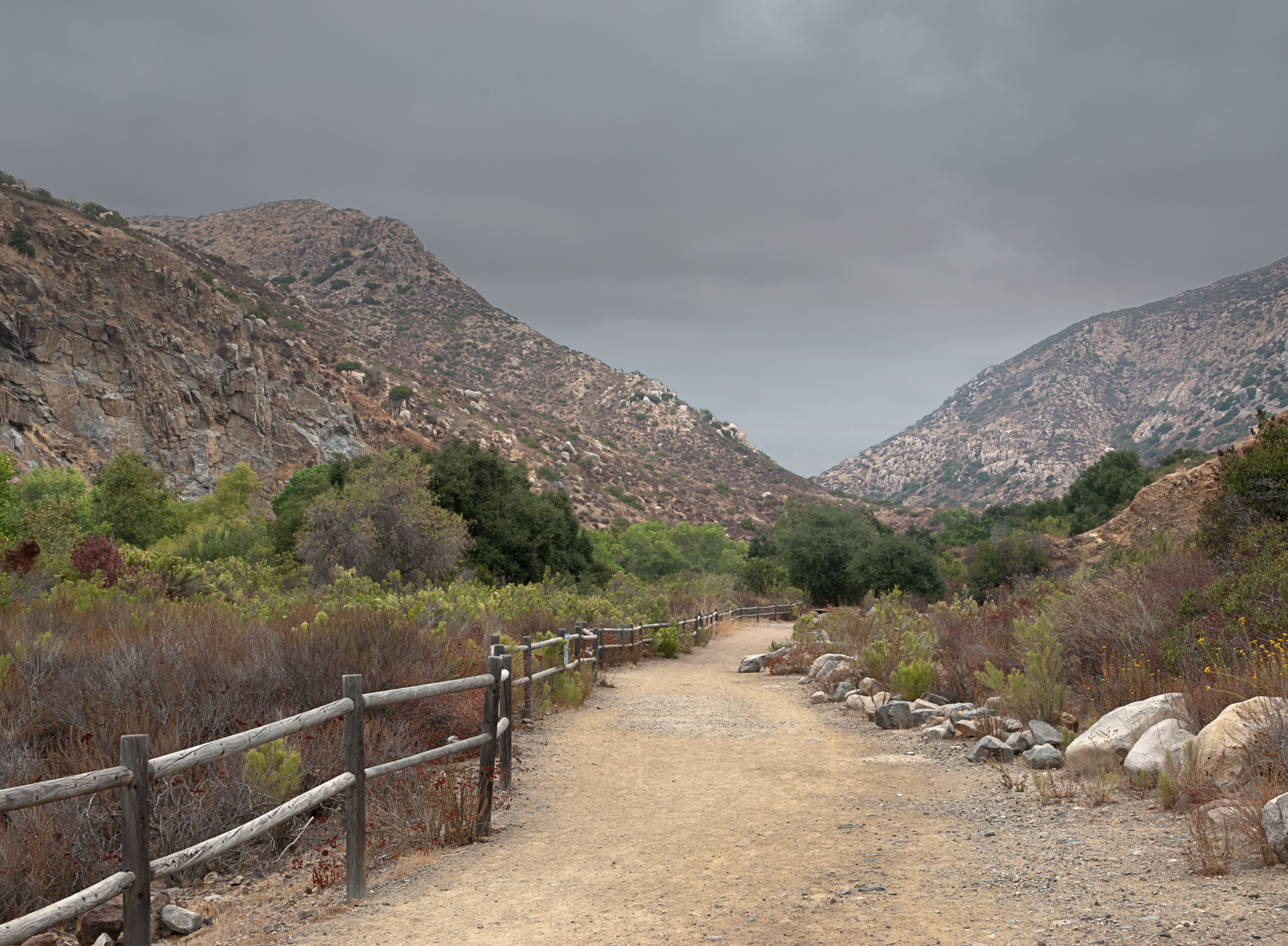
Oak Canyon Trail - Mission Trails Park

PEDB20140411-029.jpg

Visitor Center Loop Trail - Mission Trails Park
PEDB20120703-032-Edit-Edit.jpg

PEDB20140411-035.jpg

ducks at sunrise
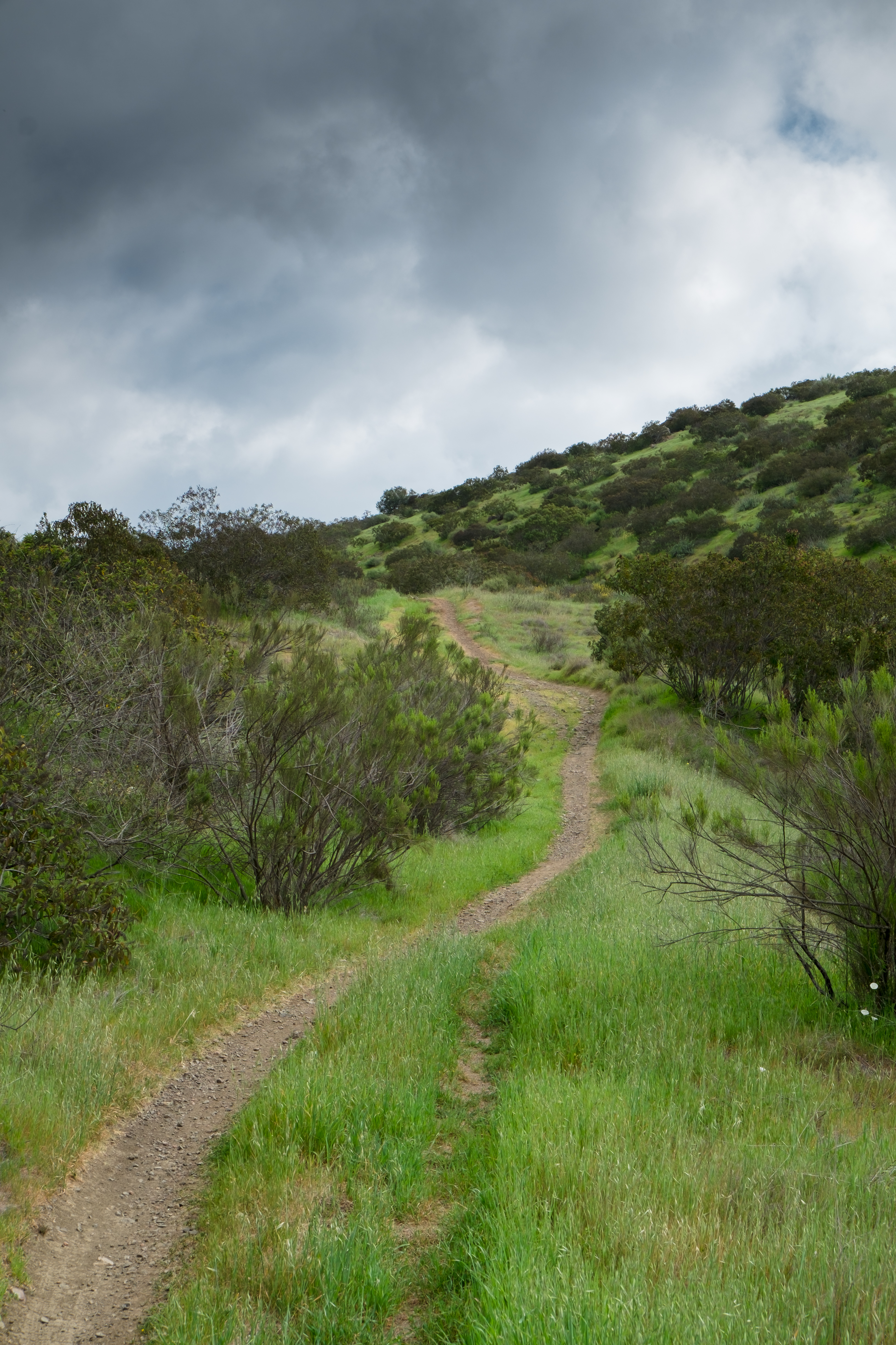
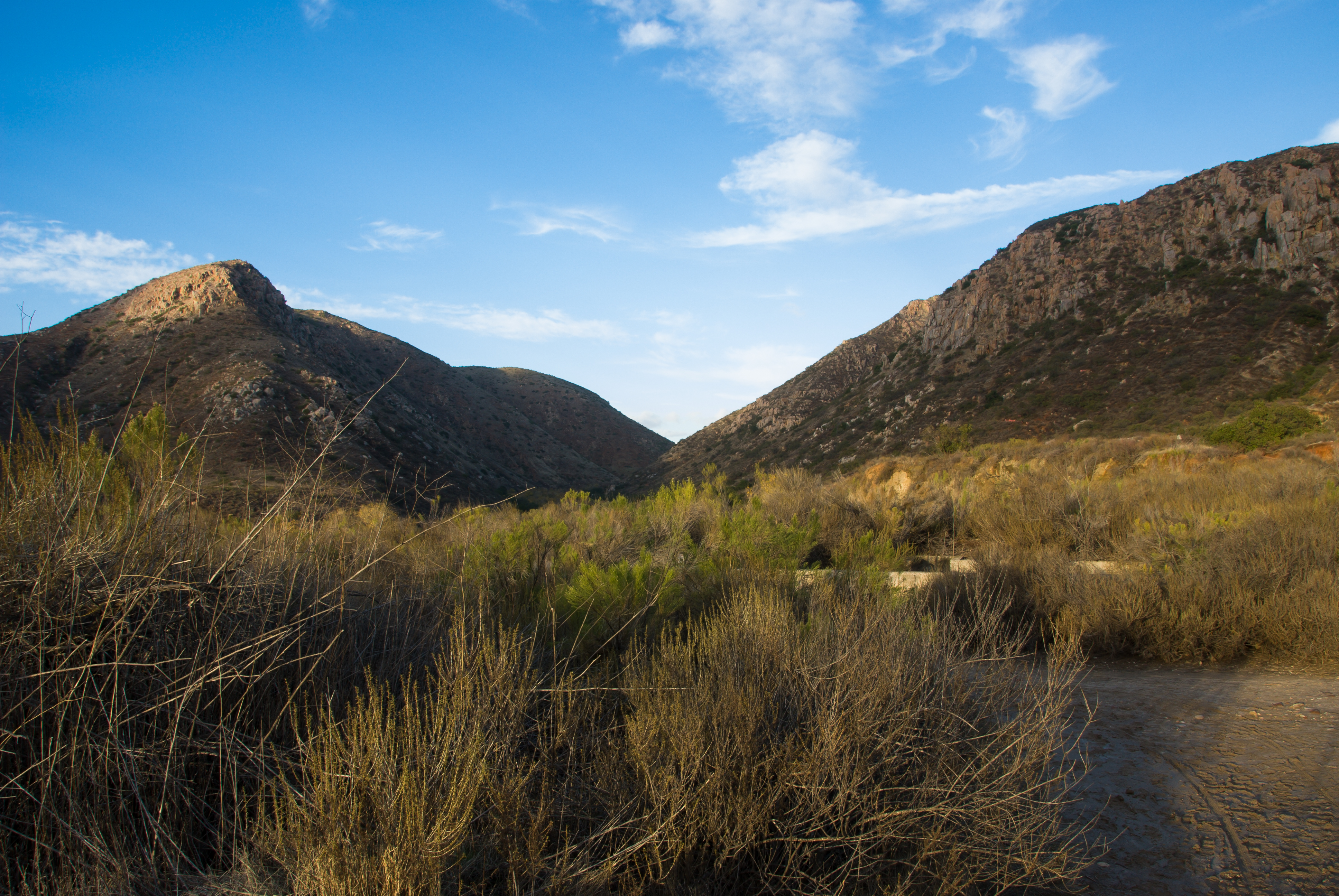
Father Junipero Serra Trail - Mission Trails Park
PEDB20130402-036.jpg
PEDB20130222-018-Edit.jpg
PEDB20121120-003.jpg
Visitor Center Loop Trail - Mission Trails Park
Visitor Center Loop Trail - Mission Trails Park

Visitor Center Loop Trail - Mission Trails Park

Oak Canyon Trail - Mission Trails Park

PEDB20130402-032.jpg

PEDB20150210-039.jpg
Topographic Map of Somerset Rd, Poway, CA, USA
Find elevation by address:

Places near Somerset Rd, Poway, CA, USA:
Poway
13513 Melissa Ln
13409 Midland Rd
Old Poway
13887 Olive Mill Way
14020 Mazatlan Way
Kentfield Dr, Poway, CA, USA
13454 Pequot Dr
14533 Poway Mesa Ct
13165 Triumph Dr
15015 Derringer Rd
15015 Derringer Rd
15015 Derringer Rd
Silverset Street
Silver Lake Drive
13614 Frame Rd
13371 Summit Cir
14869 Sunrise Dr
14533 Rutledge Square
Recent Searches:
- Elevation of Kreuzburger Weg 13, Düsseldorf, Germany
- Elevation of Gateway Blvd SE, Canton, OH, USA
- Elevation of East W.T. Harris Boulevard, E W.T. Harris Blvd, Charlotte, NC, USA
- Elevation of West Sugar Creek, Charlotte, NC, USA
- Elevation of Wayland, NY, USA
- Elevation of Steadfast Ct, Daphne, AL, USA
- Elevation of Lagasgasan, X+CQH, Tiaong, Quezon, Philippines
- Elevation of Rojo Ct, Atascadero, CA, USA
- Elevation of Flagstaff Drive, Flagstaff Dr, North Carolina, USA
- Elevation of Avery Ln, Lakeland, FL, USA