Elevation of Potomac Valley Road, Potomac Valley Rd, Blind River, ON P0R, Canada
Location: Canada > Ontario > Algoma District >
Longitude: -83.095965
Latitude: 46.2662218
Elevation: 184m / 604feet
Barometric Pressure: 99KPa
Elevation Map:
Satellite Map:
Related Photos:
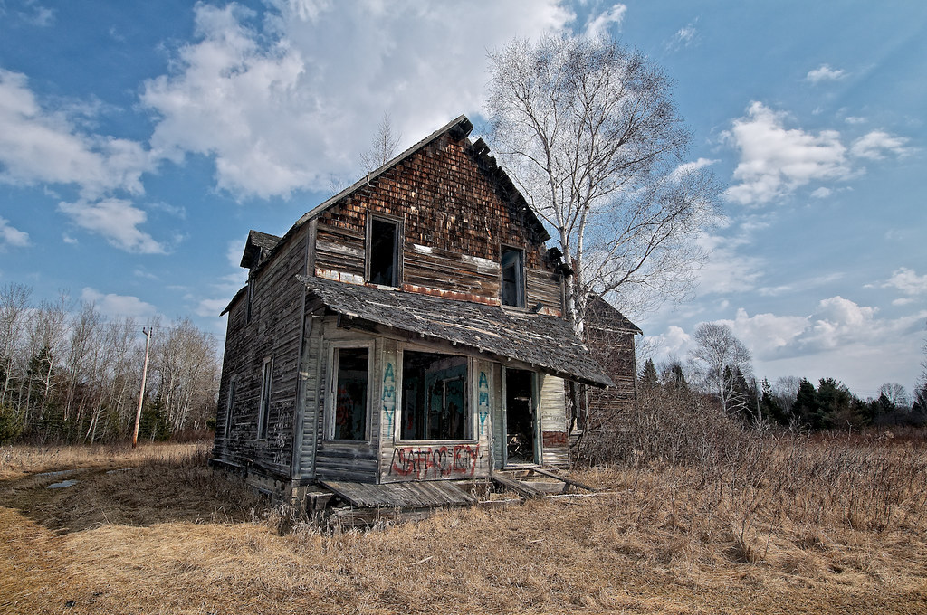
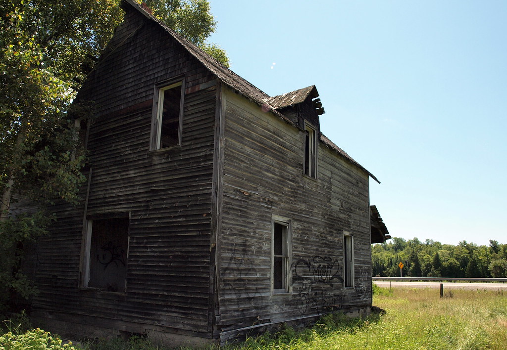
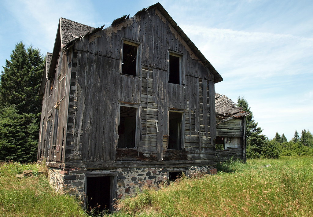
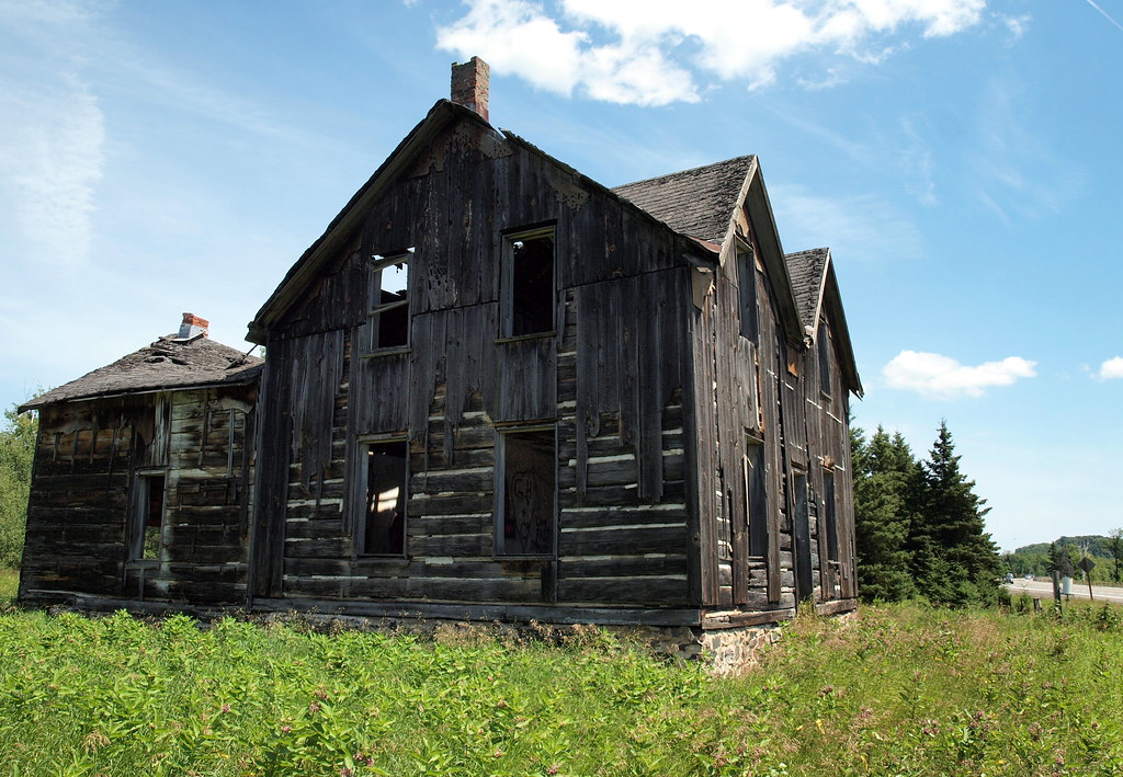
abandoned house 'old mine road', iron bridge, ontario
View from southwest
View from Northeast
View from Northwest
Rear view from northwest
View from East
View from West

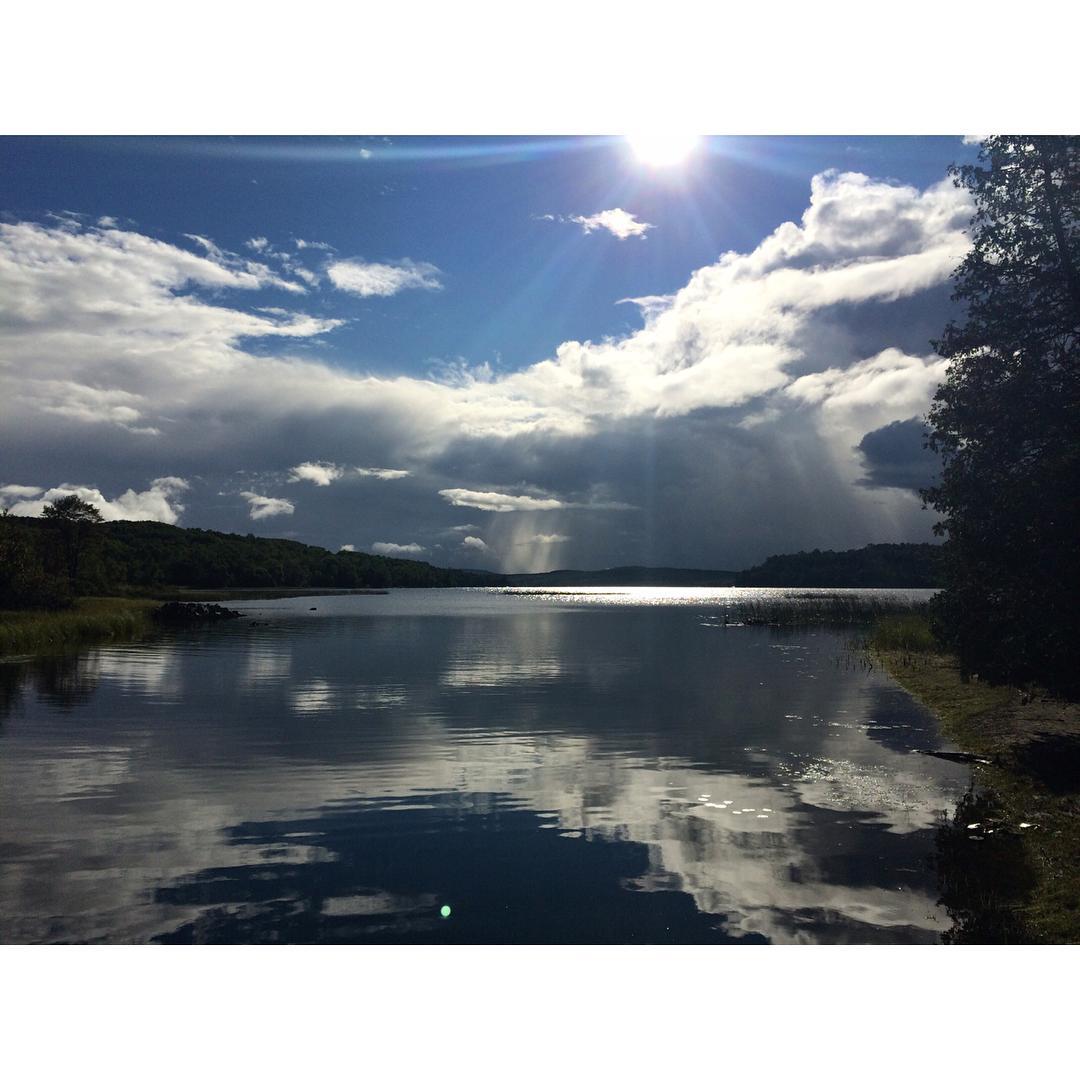
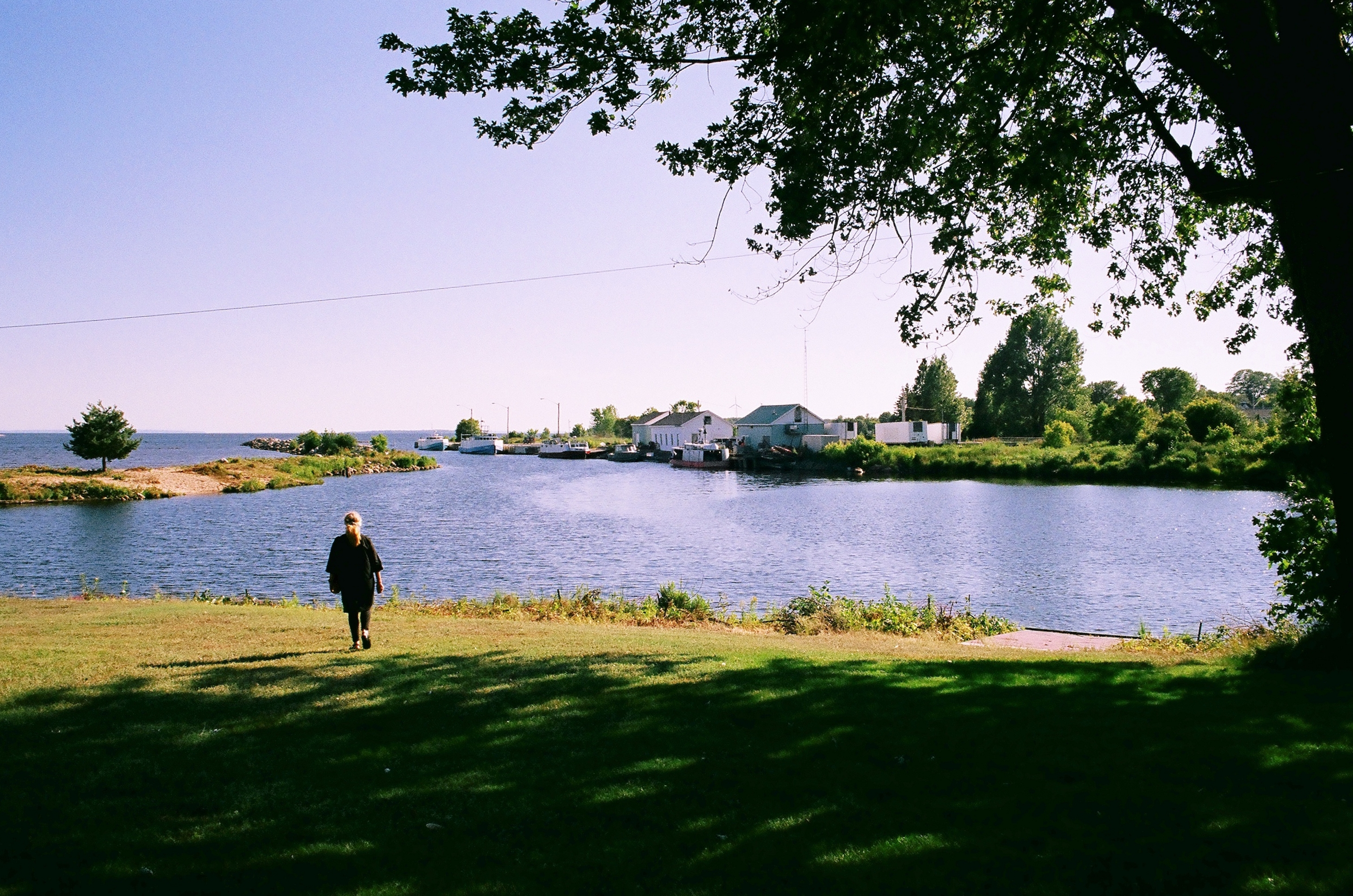
Where the Mississagi river meets Lake Huron
View from southeast
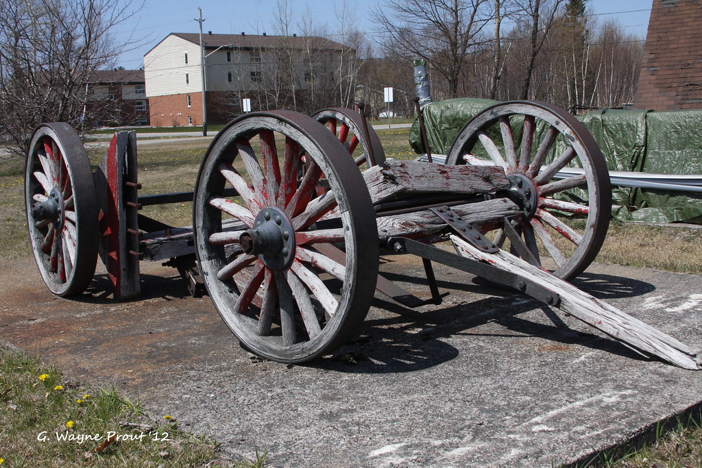
Logging Wagon - Timber Village Museum - Blind River Ontario Canada
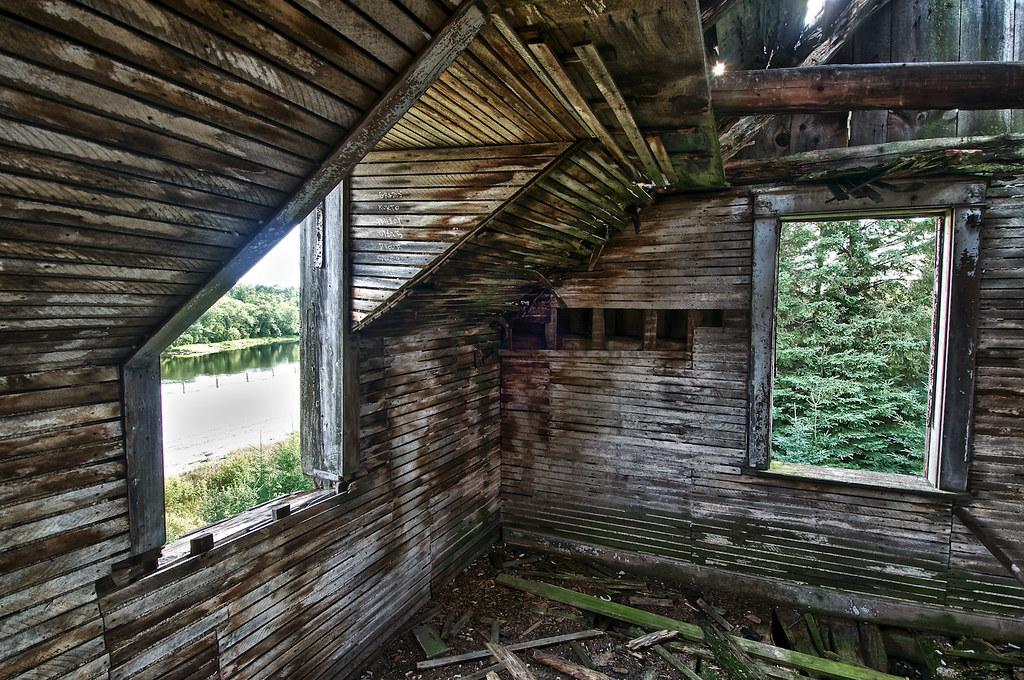
bedroom, daigle house, iron bridge, ontario

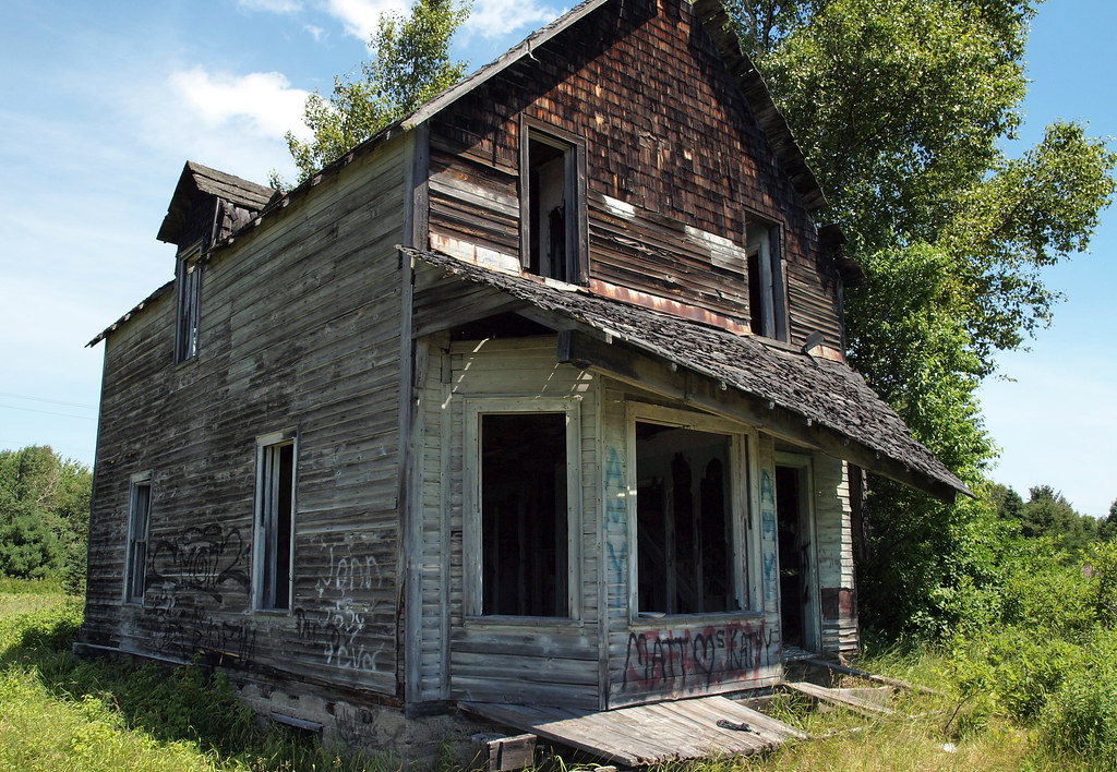
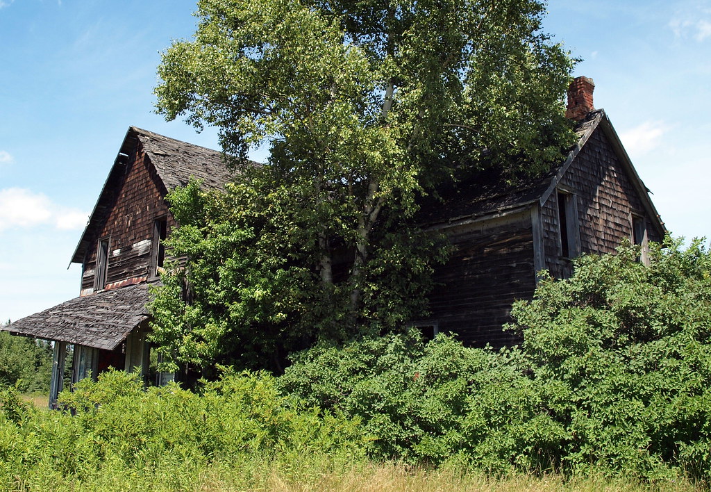
the daigle house (circa 1870), iron bridge, ontario
'the kitchen', daigle house (circa 1870), iron bridge, ontario
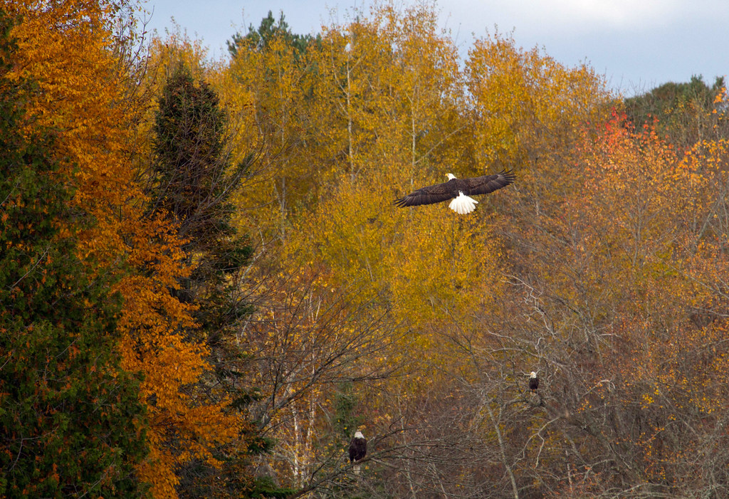
Oh to be an eagle!

View over Warnock Lake

bluff lookout

View from Bluff
View from the dock #nofilter
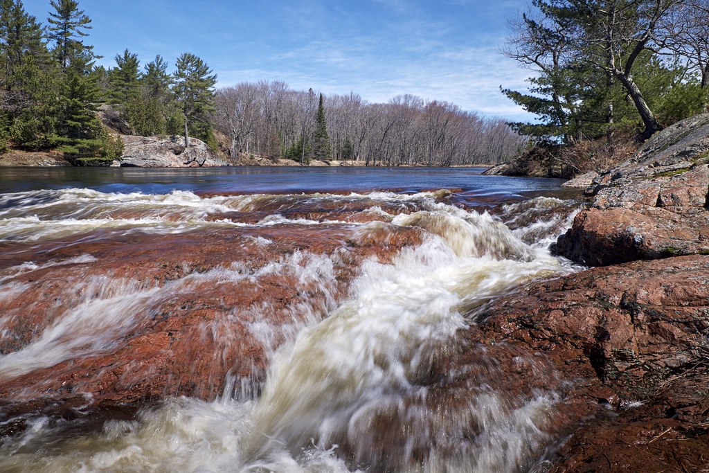
mississagi falls

thinkin this isn't the natural shoreline ;)
Dean Lake Bridge

Blind river

Blind river
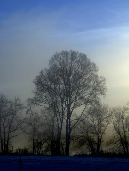
tree_-21Celcius
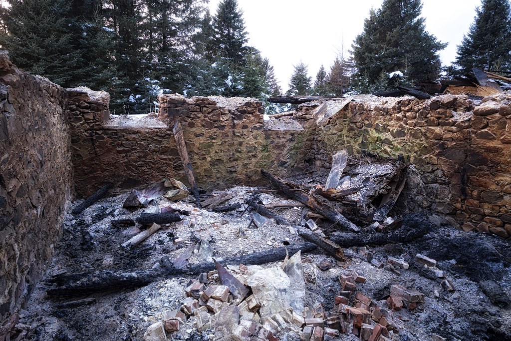
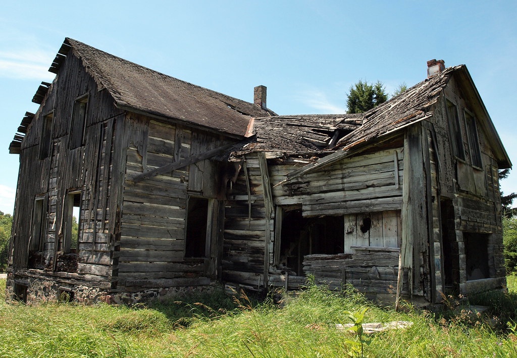
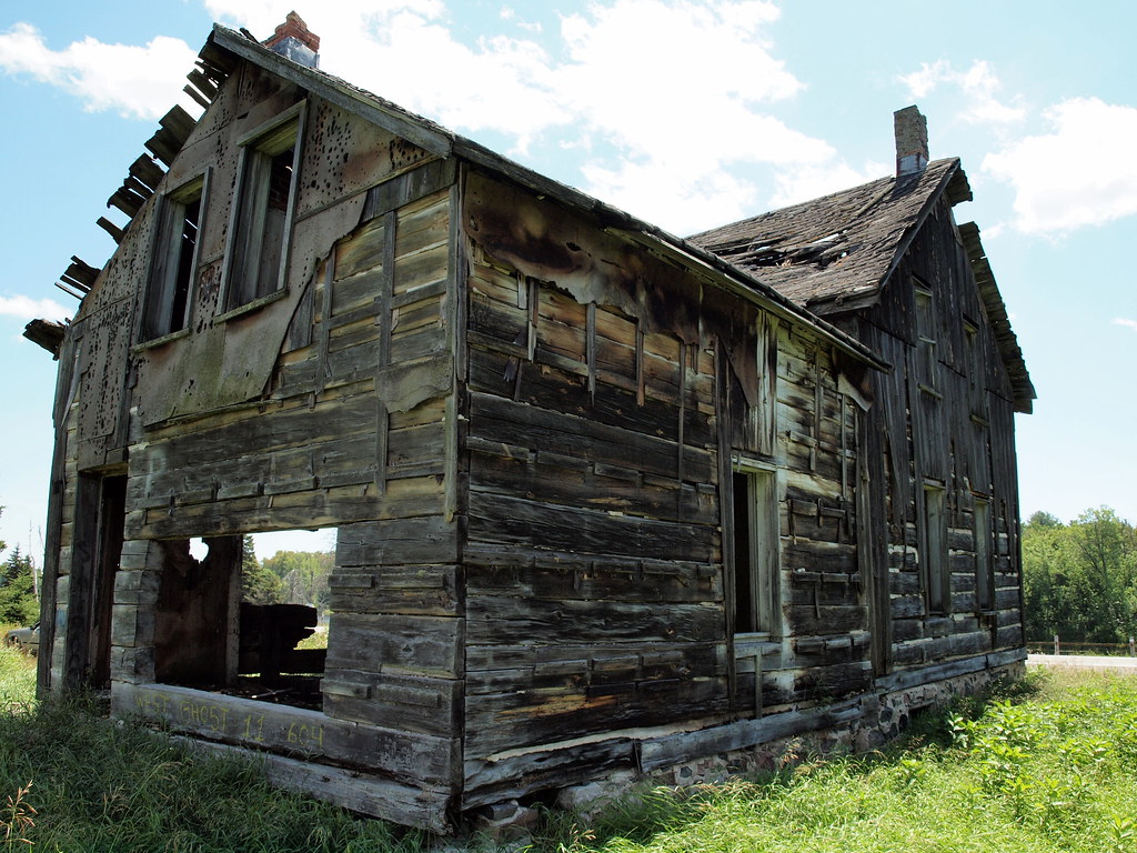
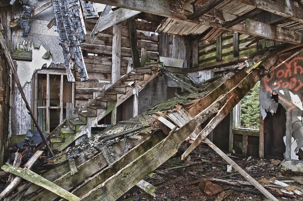
remains of the daigle house, iron bridge, ontario
201307-FTb-b025

This evening the zipper to the #heavens opened up. For once, all the layers of needs and #worries clouding up your vision parted. You finally can see clearly. You are whole. You are #free. You are the light of the sun. That... or the smog covering the Can
High water levels!

Gingerbread House

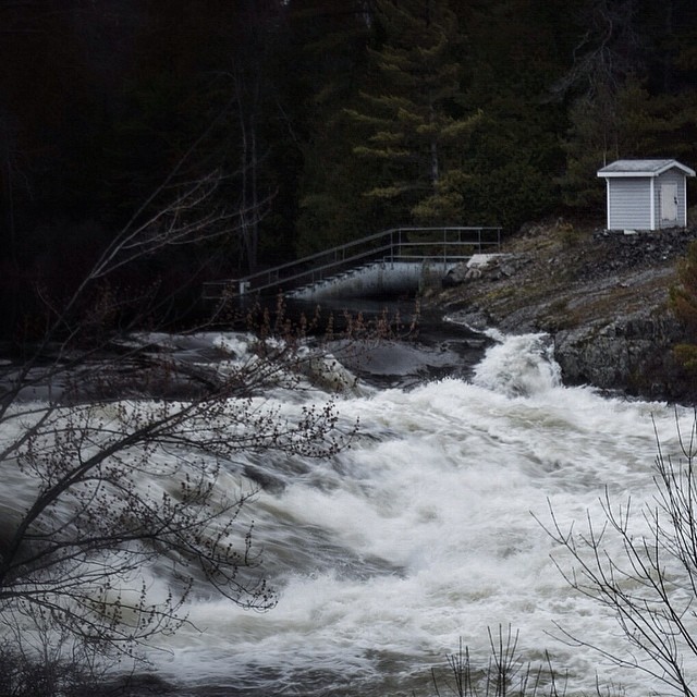
Cataract River, near Blind River, ON

Late Autumn

Chiblow Lake

Shorter Days

Tree imagination

Nice night Blind River

Somewhere between Sault Ste. Marie and Sudbury. #mhgreatsummeradventure2015

Warnock Lake
Topographic Map of Potomac Valley Road, Potomac Valley Rd, Blind River, ON P0R, Canada
Find elevation by address:

Places near Potomac Valley Road, Potomac Valley Rd, Blind River, ON P0R, Canada:
Trans-Canada Hwy, Blind River, ON P0R, Canada
Dean Lake Rd, Huron Shores, ON P0R, Canada
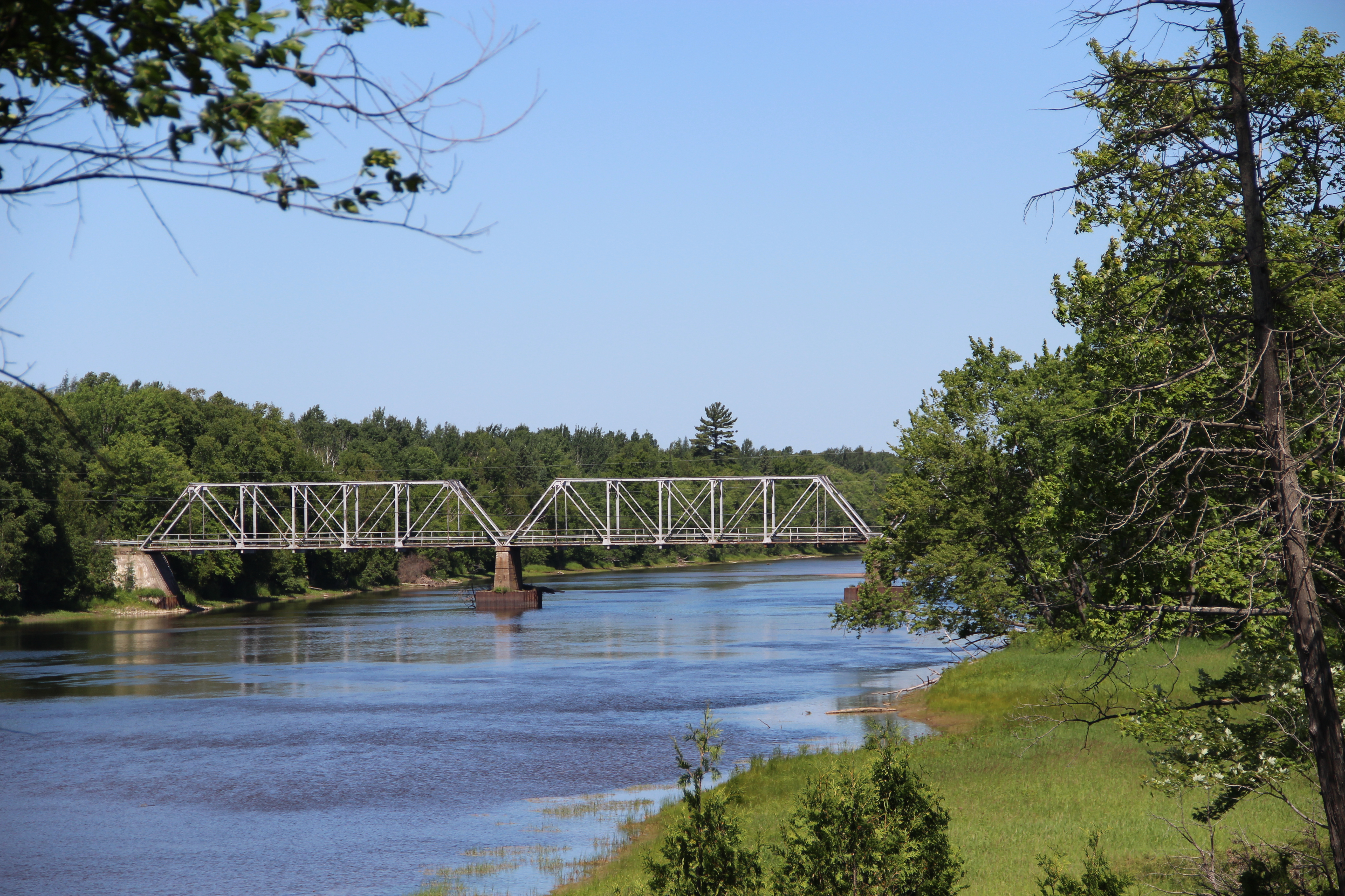
Iron Bridge
24500 Hwy 17
Dayton Rd, Huron Shores, ON P0R, Canada
Huron Shores
Thessalon
Lighthouse Point Drive
S Maxton Rd, Drummond, MI, USA
37 Waltonen Rd E, Bruce Mines, ON P0R 1C0, Canada
Plummer Additional
296 Waltonen Rd
Plummer Rd, Bruce Mines, ON P0R 1C0, Canada
5 Main St, Bruce Mines, ON P0R 1C0, Canada
Drummond
Drummond Township
Haefner Dr, Hilton Beach, ON P0R 1G0, Canada
Bruce Mines
16 Tarbutt St
Richmond Bay Rd, Hilton Beach, ON P0R 1G0, Canada
Recent Searches:
- Elevation of Royal Ontario Museum, Queens Park, Toronto, ON M5S 2C6, Canada
- Elevation of Groblershoop, South Africa
- Elevation of Power Generation Enterprises | Industrial Diesel Generators, Oak Ave, Canyon Country, CA, USA
- Elevation of Chesaw Rd, Oroville, WA, USA
- Elevation of N, Mt Pleasant, UT, USA
- Elevation of 6 Rue Jules Ferry, Beausoleil, France
- Elevation of Sattva Horizon, 4JC6+G9P, Vinayak Nagar, Kattigenahalli, Bengaluru, Karnataka, India
- Elevation of Great Brook Sports, Gold Star Hwy, Groton, CT, USA
- Elevation of 10 Mountain Laurels Dr, Nashua, NH, USA
- Elevation of 16 Gilboa Ln, Nashua, NH, USA