Elevation map of Algoma District, ON, Canada
Location: Canada > Ontario >
Longitude: -84.795152
Latitude: 47.6459165
Elevation: 411m / 1348feet
Barometric Pressure: 96KPa
Elevation Map:
Satellite Map:
Related Photos:

winter sunset, gros cap, ontario

Mark, at Work, Sault Ste. Marie
Image from page 289 of "Canadian grocer January-June 1892" (1892)
sand river, lake superior provincial park
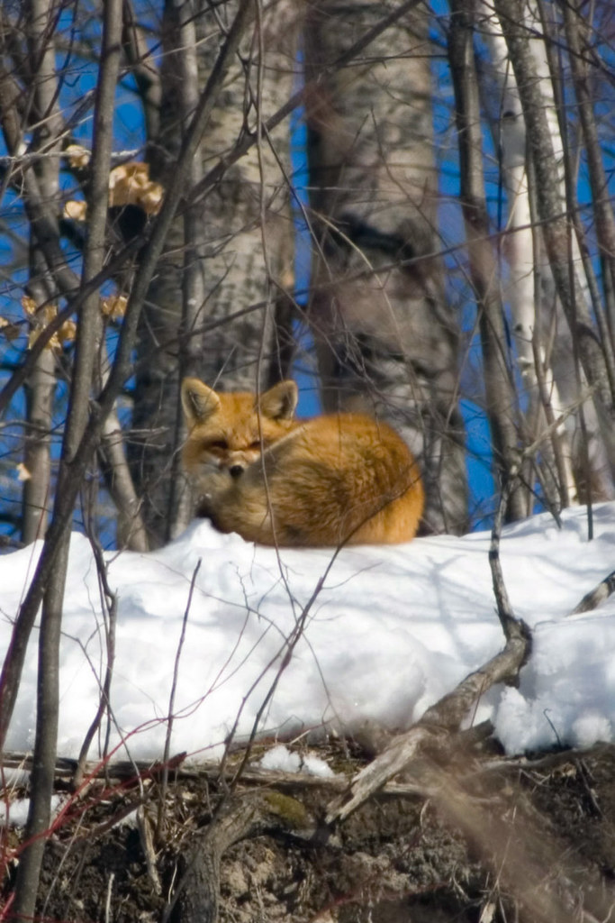
Red Fox_ 1066 vixen - sleeping in sunshine

Red-shouldered Hawk
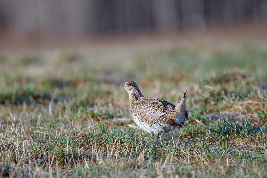
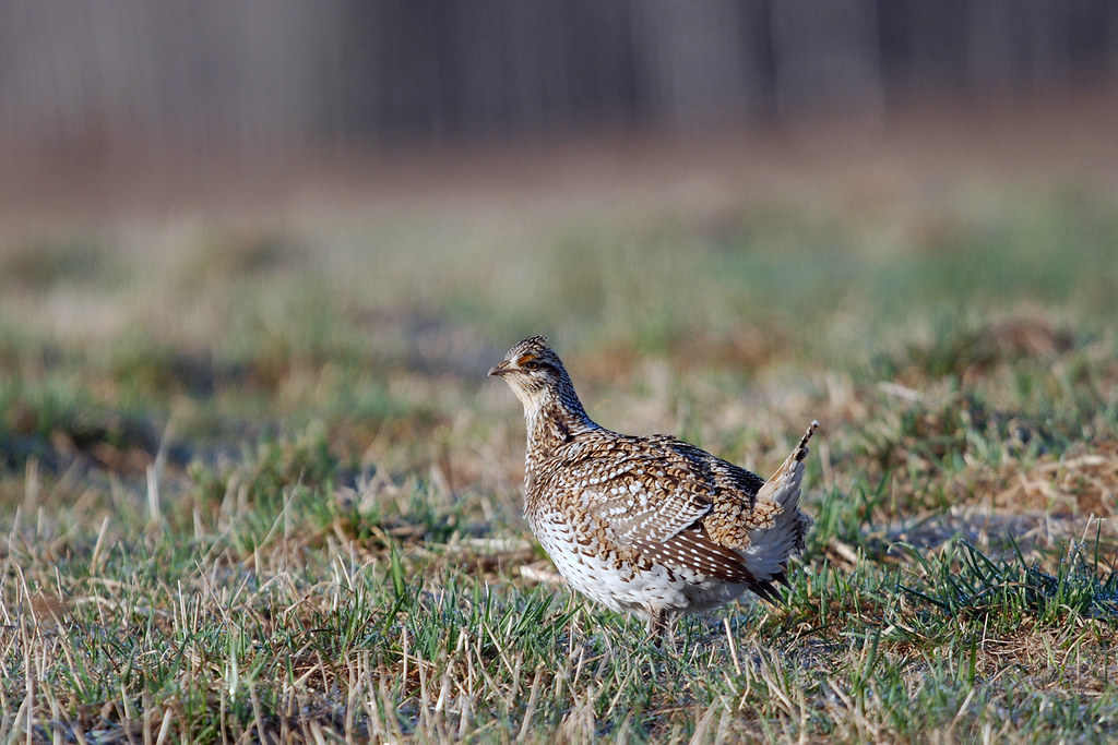
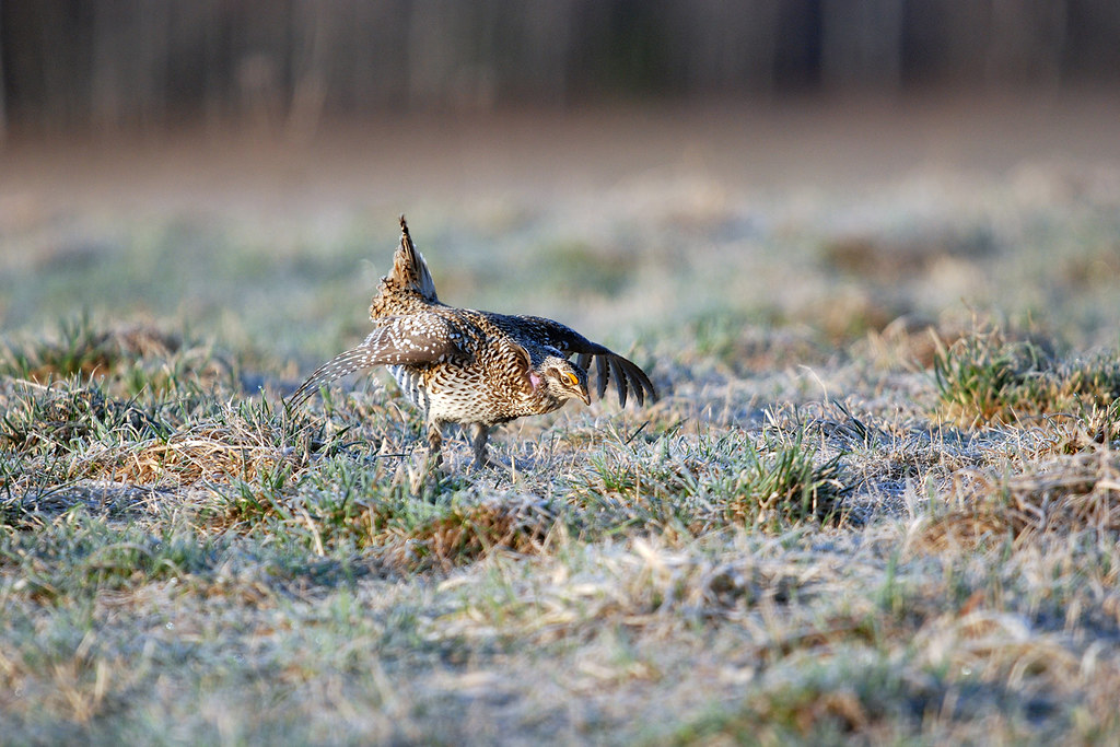
Sharp-tailed Grouse_0329
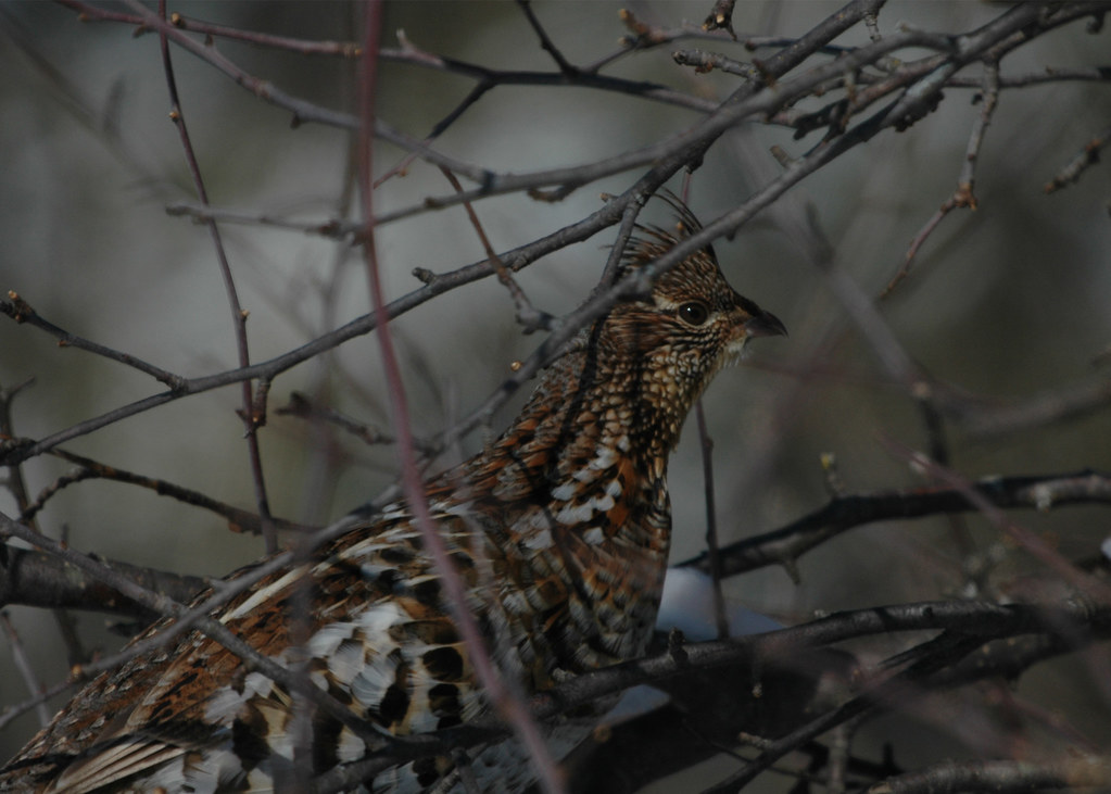
Ruffed Grouse_0186 (male)
Ruffed Grouse_0793
Ruffed Grouse_0738
Barred Owl - fluffed against the cold
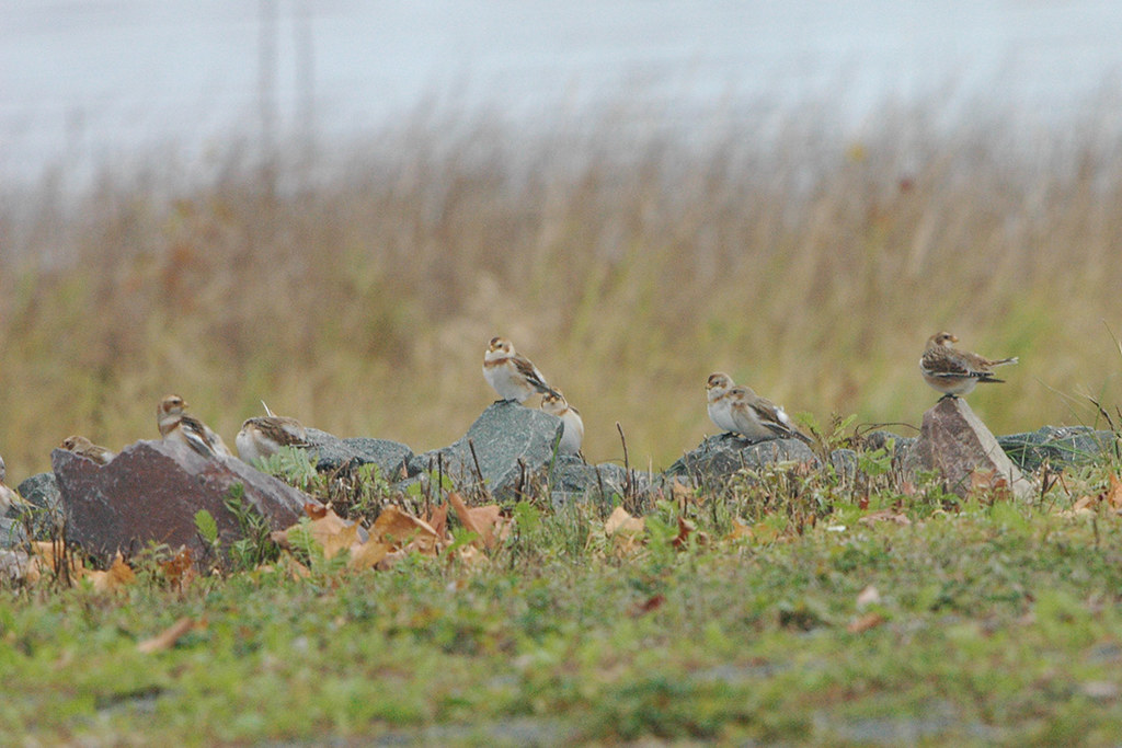
Snow Buntings_1296
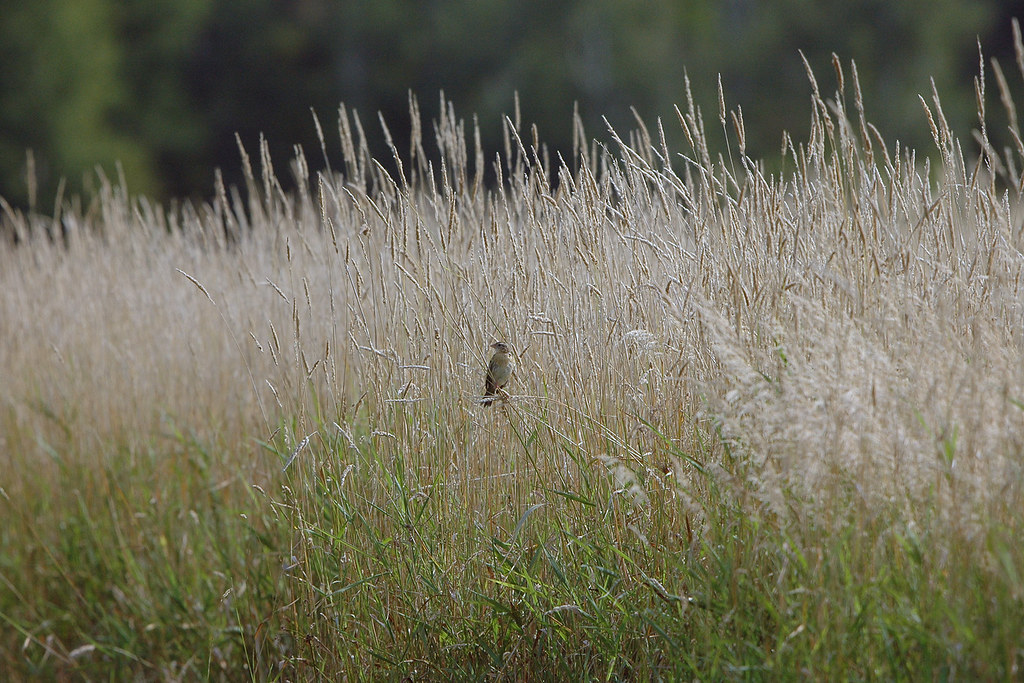
Bobolink_0133 (female)
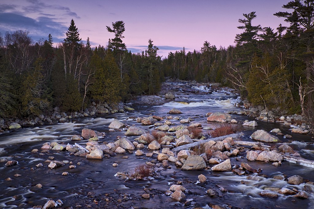
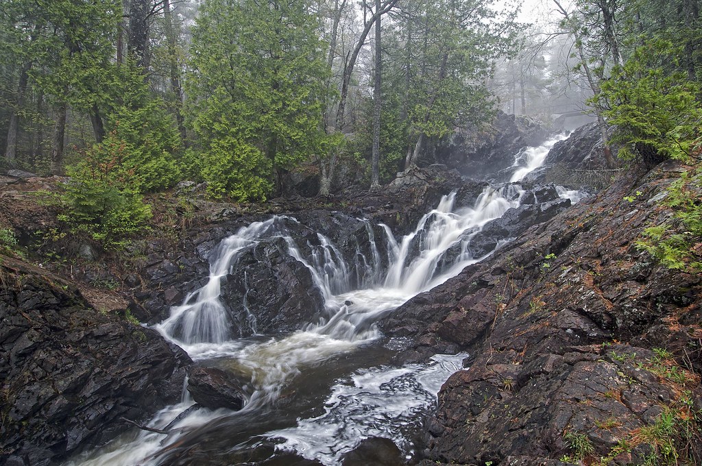
sand river falls, lake superior provincial park, ontario
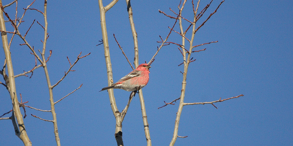
Pine Grosbeak
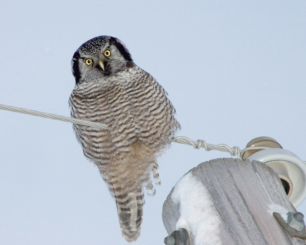
Northern Hawk Owl
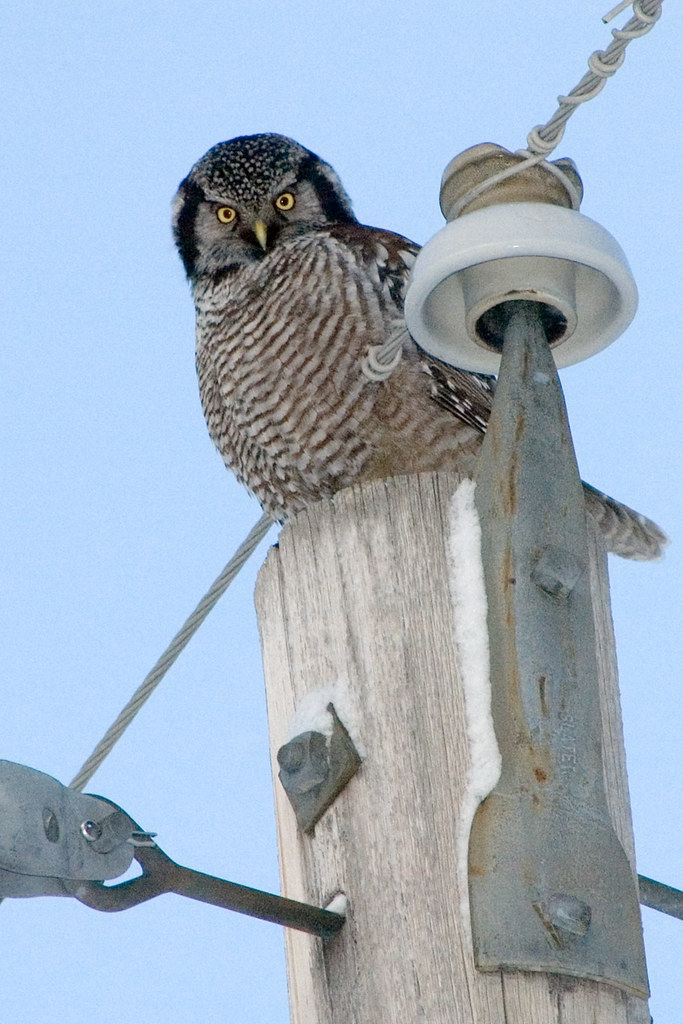
Northern Hawk Owl
Ruffed Grouse_0731
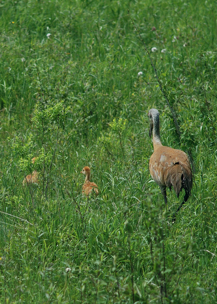
Sandhill Cranes_0794 adult with young in deep grass
Wild Turkeys_7337
Ruffed Grouse_0170 (male)
lake superior ice cave
lake superior ice cave -- night
Serpent River, First Nation Anishnabek Territory, Indian Reserve, Ontario
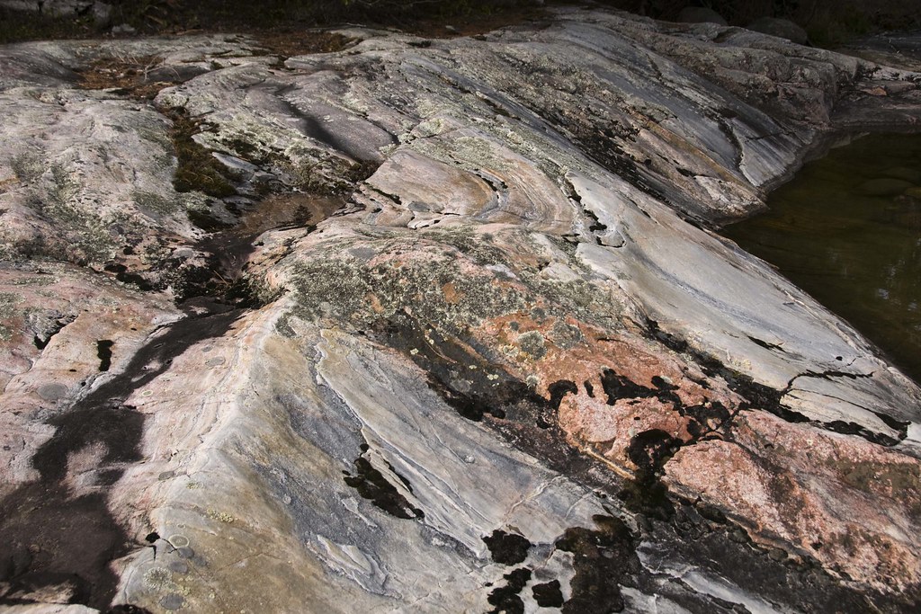
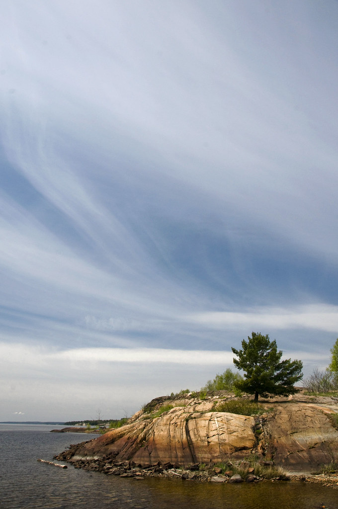
Millions of years old rock, North of the Great Lakes, Ontario, Canada
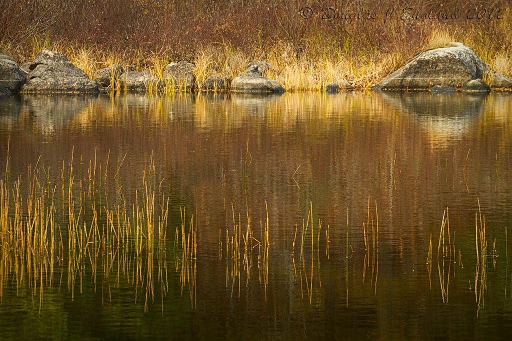
quiet river reflection
Sharp-tailed Grouse_0332 (male)
Sharp-tailed Grouse_0249 (male)
crystal falls, sault ste. marie, ontario
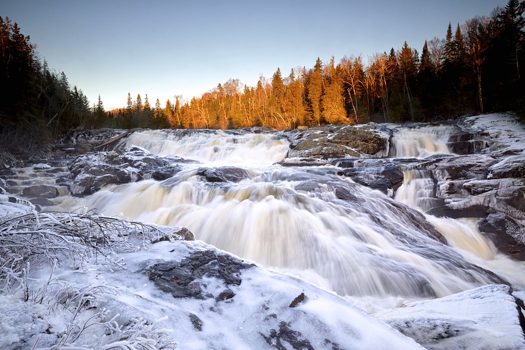
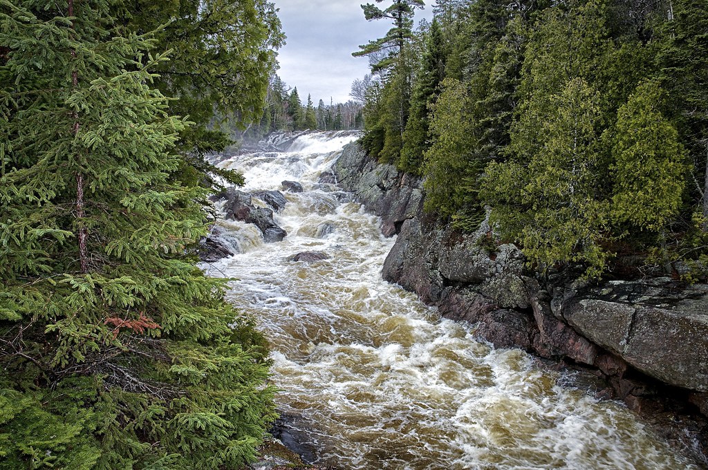
fire and ice / sand river waterfall
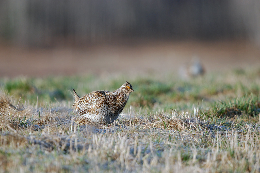
Sharp-tailed Grouse_0300
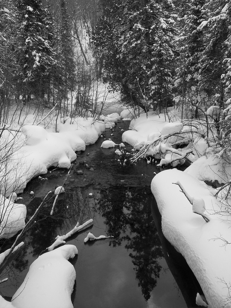
Stokely Creek, Algoma District

Serpent River, First Nation Anishnabek Territory, Indian Reserve, Ontario
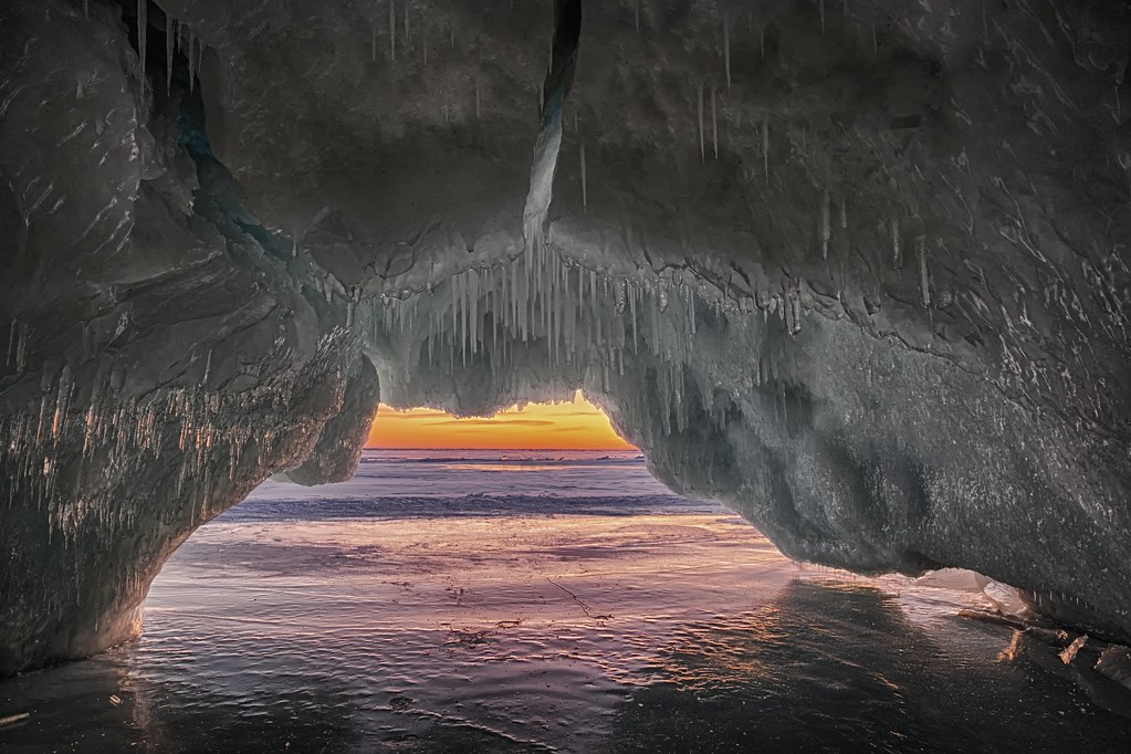
lake superior ice cave - - sunset
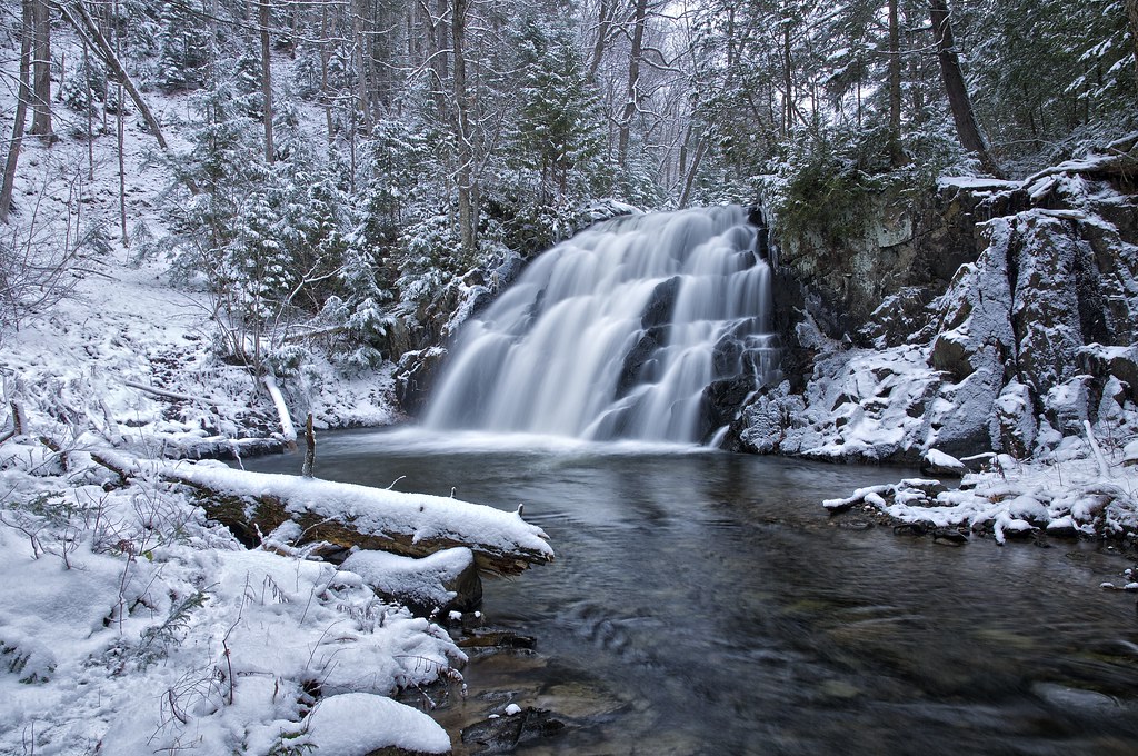
robertson creek falls, vankoughnet township, ontario
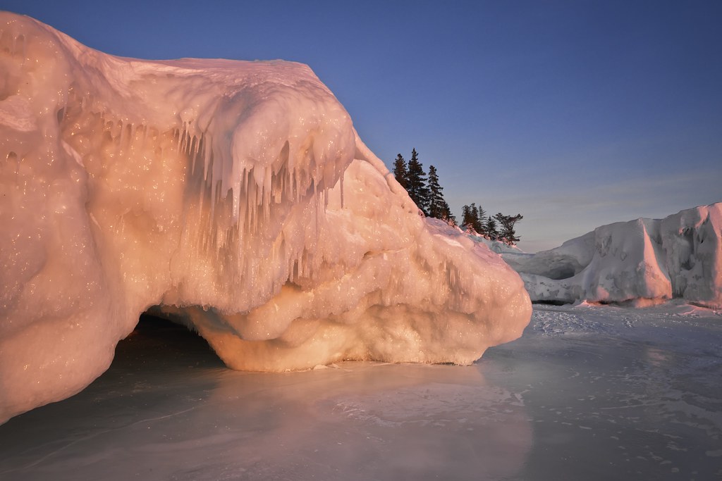
fire and ice- -lake superior ice cave

lake superior ice cave
Topographic Map of Algoma District, ON, Canada
Find elevation by address:

Places in Algoma District, ON, Canada:
Algoma, Unorganized, North Part
Huron Shores
North Shore
Hilton Township
Hornepayne
Plummer Additional
Jocelyn
Sault Ste. Marie
Bruce Mines
Dubreuilville
St. Joseph
Serpent River
Spanish
White River
Wawa
24 Pinemore Blvd, Sault Ste. Marie, ON P6B 4E3, Canada
Brennan Harbour Rd, Spanish, ON P0P 2A0, Canada
Shannon Rd, Sault Ste. Marie, ON P6A 4L1, Canada
MacLennan Rd, Desbarats, ON P0R 1E0, Canada
Elliot Lake
Potomac Valley Road
Crystal Lake
Blind River
Ontario 810
Hyslop Lake
Places near Algoma District, ON, Canada:
Batchawana Bay
Corbeil Point Rd, Batchawana Bay, ON P0S 1A0, Canada
13632 N Whitefish Point Rd
10657 N Whitefish Point Rd
Goulais River
Paradise
18926 Little Lake Harbor Rd
Whitefish Township
1183 Allens Side Rd
Allens Side Road
155 Yates Ave
Bay Mills Township
33076 Pie Rd
Dalgleish Rd, Sault Ste. Marie, ON P6A 5K6, Canada
Mission
8936 W Edmands Rd
Muskallonge Lake State Park
Luce County
Newberry, MI, USA
Mcmillan Township
Recent Searches:
- Elevation of Corso Fratelli Cairoli, 35, Macerata MC, Italy
- Elevation of Tallevast Rd, Sarasota, FL, USA
- Elevation of 4th St E, Sonoma, CA, USA
- Elevation of Black Hollow Rd, Pennsdale, PA, USA
- Elevation of Oakland Ave, Williamsport, PA, USA
- Elevation of Pedrógão Grande, Portugal
- Elevation of Klee Dr, Martinsburg, WV, USA
- Elevation of Via Roma, Pieranica CR, Italy
- Elevation of Tavkvetili Mountain, Georgia
- Elevation of Hartfords Bluff Cir, Mt Pleasant, SC, USA