Elevation of Huron Shores, ON, Canada
Location: Canada > Ontario > Algoma District >
Longitude: -83.362264
Latitude: 46.2413768
Elevation: 187m / 614feet
Barometric Pressure: 99KPa
Elevation Map:
Satellite Map:
Related Photos:

'Oh! Canada!'
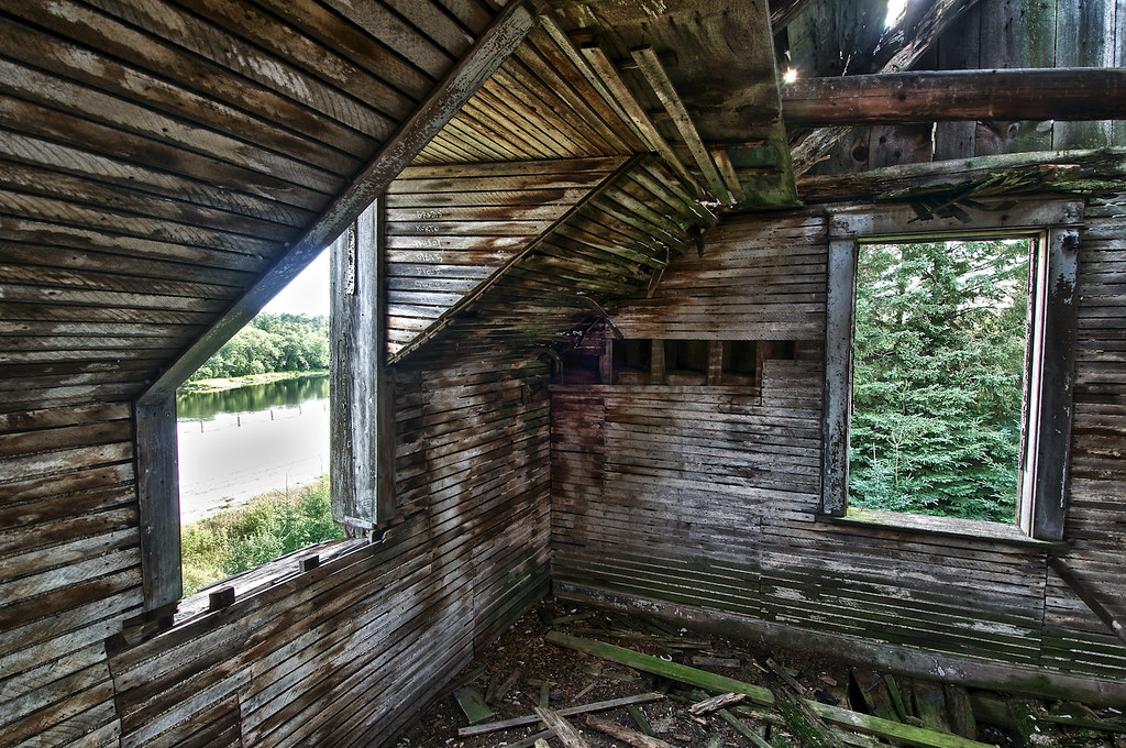
bedroom, daigle house, iron bridge, ontario
'the kitchen', daigle house (circa 1870), iron bridge, ontario

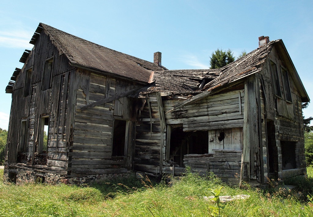
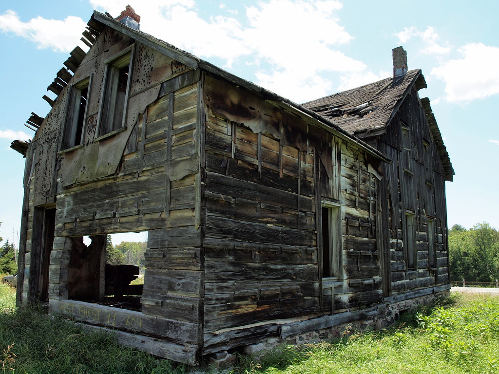
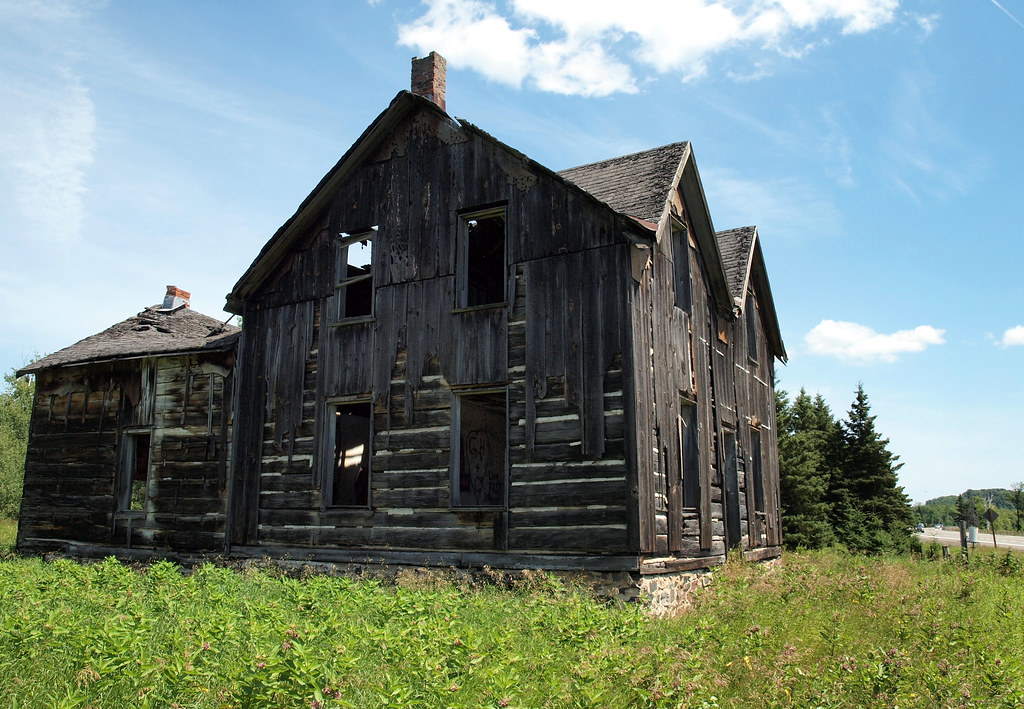
the daigle house (circa 1870), iron bridge, ontario
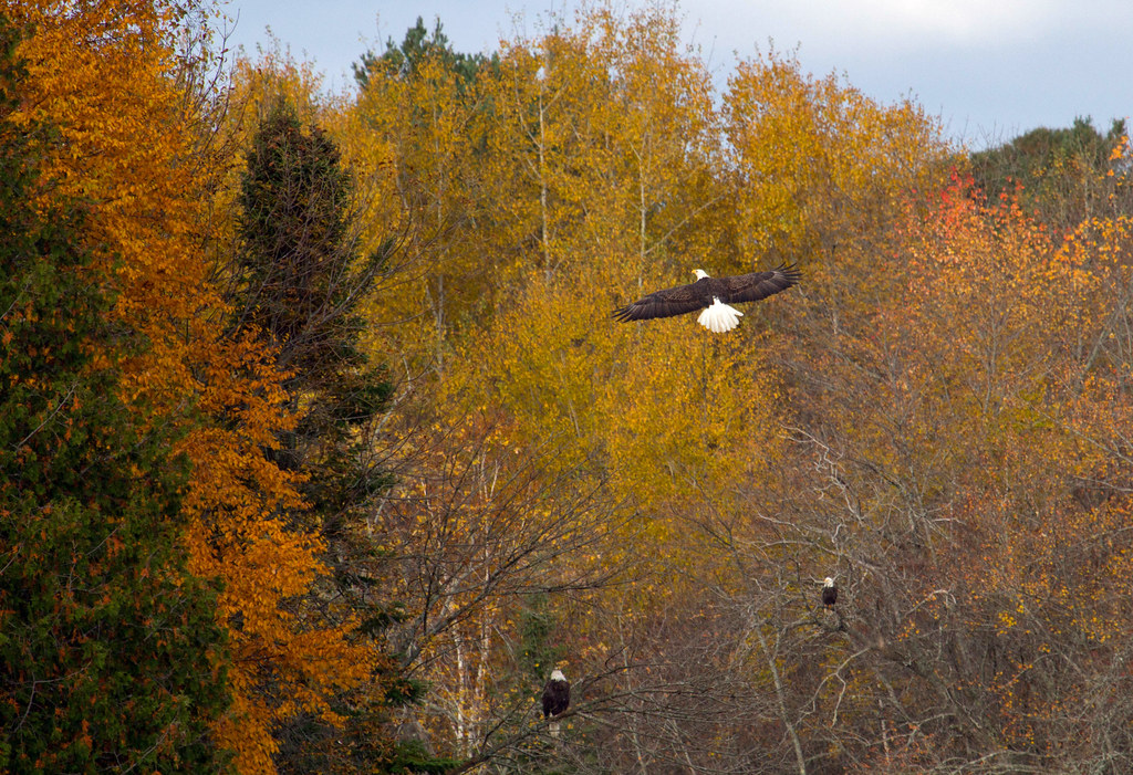
Oh to be an eagle!
View from Northeast
View from Northwest
View from East
View from West

View over Warnock Lake

bluff lookout

View from Bluff

The View from The Deck - iOS7 Pano
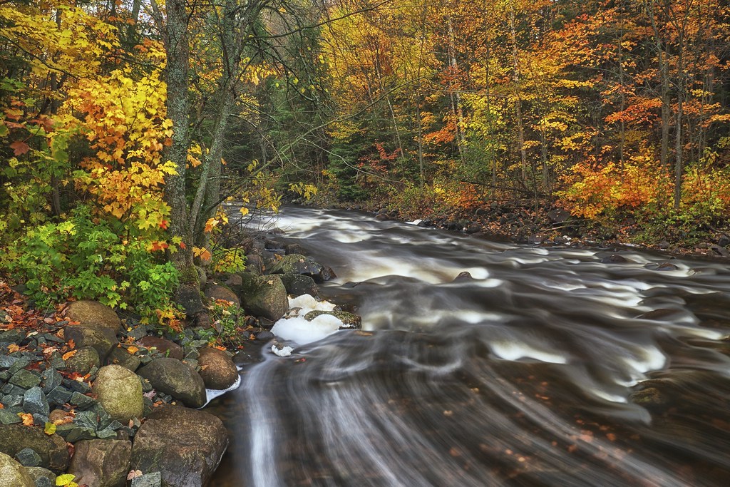
fifteen seconds, little thessalon river
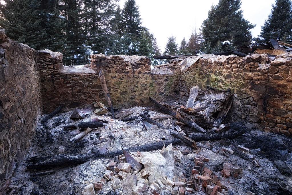
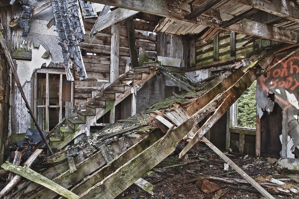
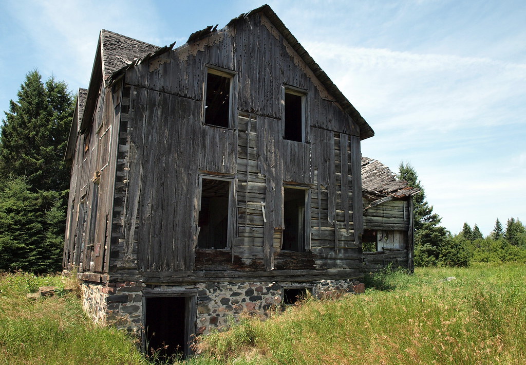
remains of the daigle house, iron bridge, ontario
High water levels!

Late Autumn

thinkin this isn't the natural shoreline ;)

Warnock Lake

Gingerbread House

Shorter Days

Mississagi above the dam

Tree imagination
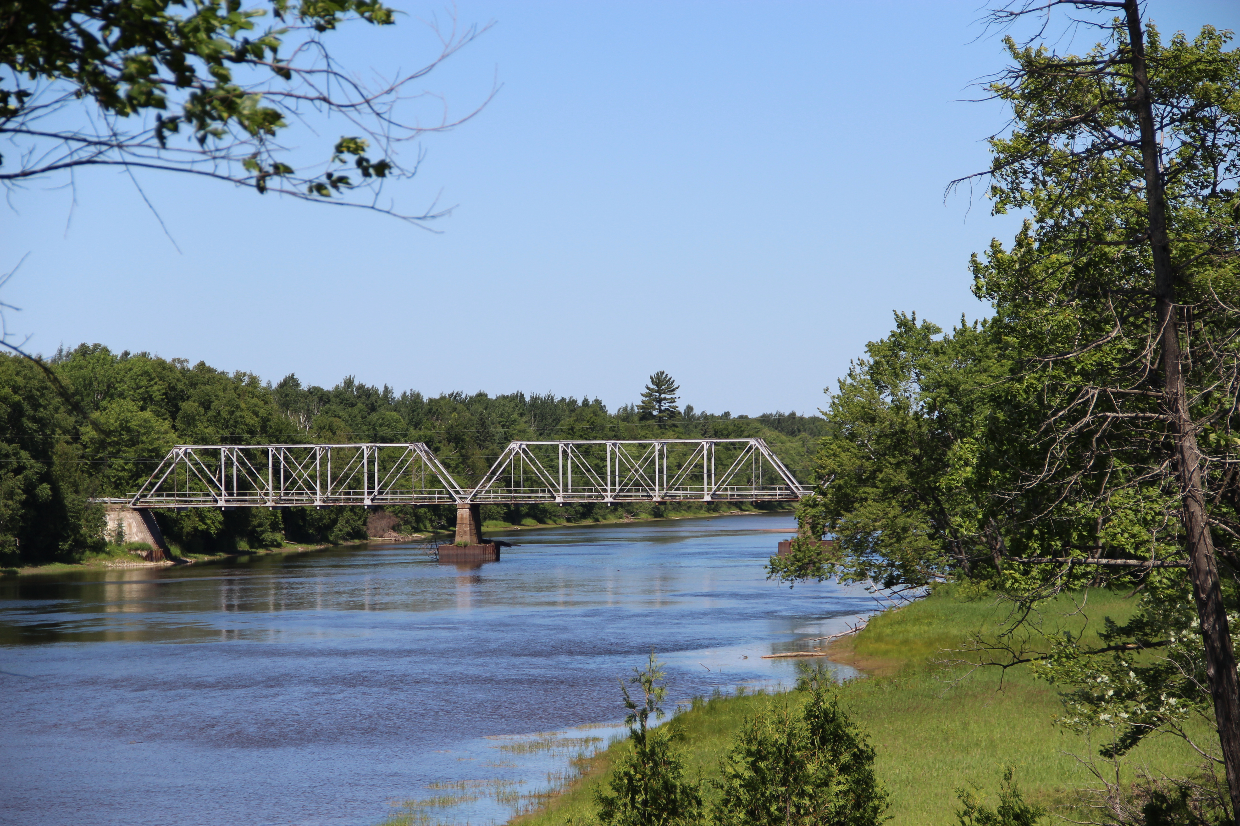
Dean Lake Bridge
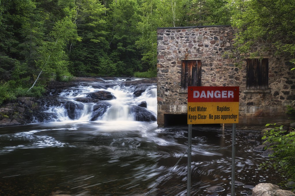
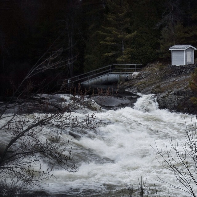
danger, little rapids, huron shores, ontario
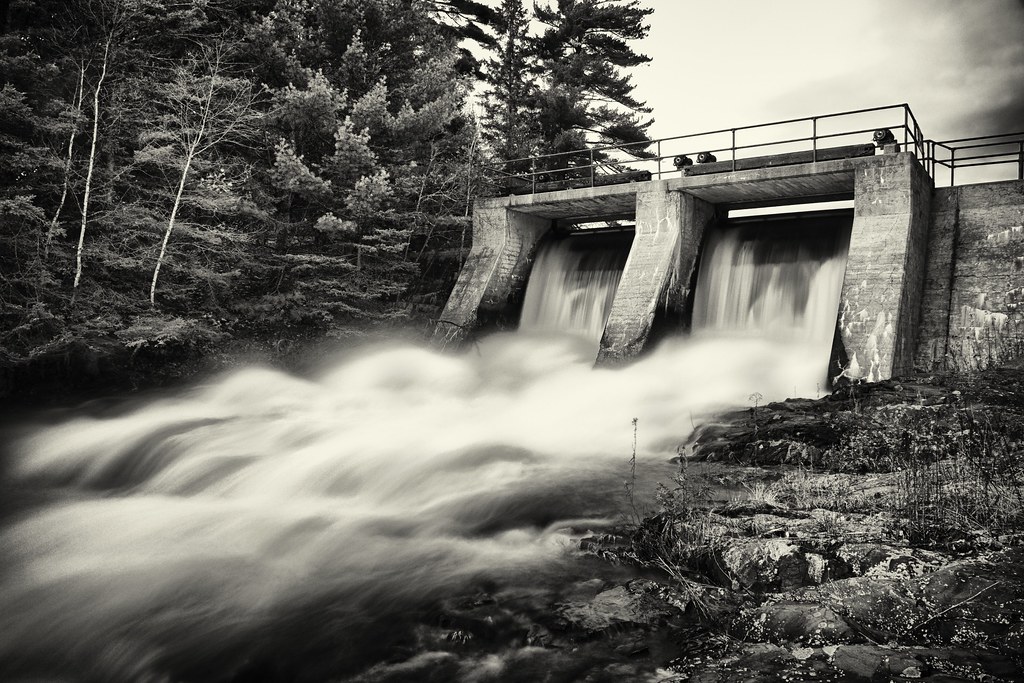
dam, little rapids, ontario

Highway 129 with Roger! @motorcyclemojo
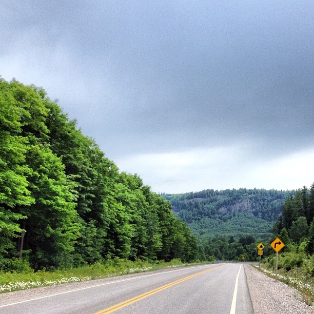
Highway 129 - there's a beauty turn right at the bottom of this drop!
Topographic Map of Huron Shores, ON, Canada
Find elevation by address:

Places in Huron Shores, ON, Canada:
Thessalon
Dean Lake Rd, Huron Shores, ON P0R, Canada
Dayton Rd, Huron Shores, ON P0R, Canada
Trans-Canada Hwy, Blind River, ON P0R, Canada
Iron Bridge
Places near Huron Shores, ON, Canada:
Dayton Rd, Huron Shores, ON P0R, Canada
24500 Hwy 17
Iron Bridge
Thessalon
Lighthouse Point Drive
Dean Lake Rd, Huron Shores, ON P0R, Canada
Trans-Canada Hwy, Blind River, ON P0R, Canada
Potomac Valley Road
37 Waltonen Rd E, Bruce Mines, ON P0R 1C0, Canada
S Maxton Rd, Drummond, MI, USA
296 Waltonen Rd
Plummer Additional
Plummer Rd, Bruce Mines, ON P0R 1C0, Canada
5 Main St, Bruce Mines, ON P0R 1C0, Canada
Haefner Dr, Hilton Beach, ON P0R 1G0, Canada
Drummond
Bruce Mines
Drummond Township
16 Tarbutt St
Richmond Bay Rd, Hilton Beach, ON P0R 1G0, Canada
Recent Searches:
- Elevation of Corso Fratelli Cairoli, 35, Macerata MC, Italy
- Elevation of Tallevast Rd, Sarasota, FL, USA
- Elevation of 4th St E, Sonoma, CA, USA
- Elevation of Black Hollow Rd, Pennsdale, PA, USA
- Elevation of Oakland Ave, Williamsport, PA, USA
- Elevation of Pedrógão Grande, Portugal
- Elevation of Klee Dr, Martinsburg, WV, USA
- Elevation of Via Roma, Pieranica CR, Italy
- Elevation of Tavkvetili Mountain, Georgia
- Elevation of Hartfords Bluff Cir, Mt Pleasant, SC, USA