Elevation of Porcupine, SD, USA
Location: United States > South Dakota > Shannon County > East Shannon >
Longitude: -102.32948
Latitude: 43.2411963
Elevation: 966m / 3169feet
Barometric Pressure: 90KPa
Elevation Map:
Satellite Map:
Related Photos:
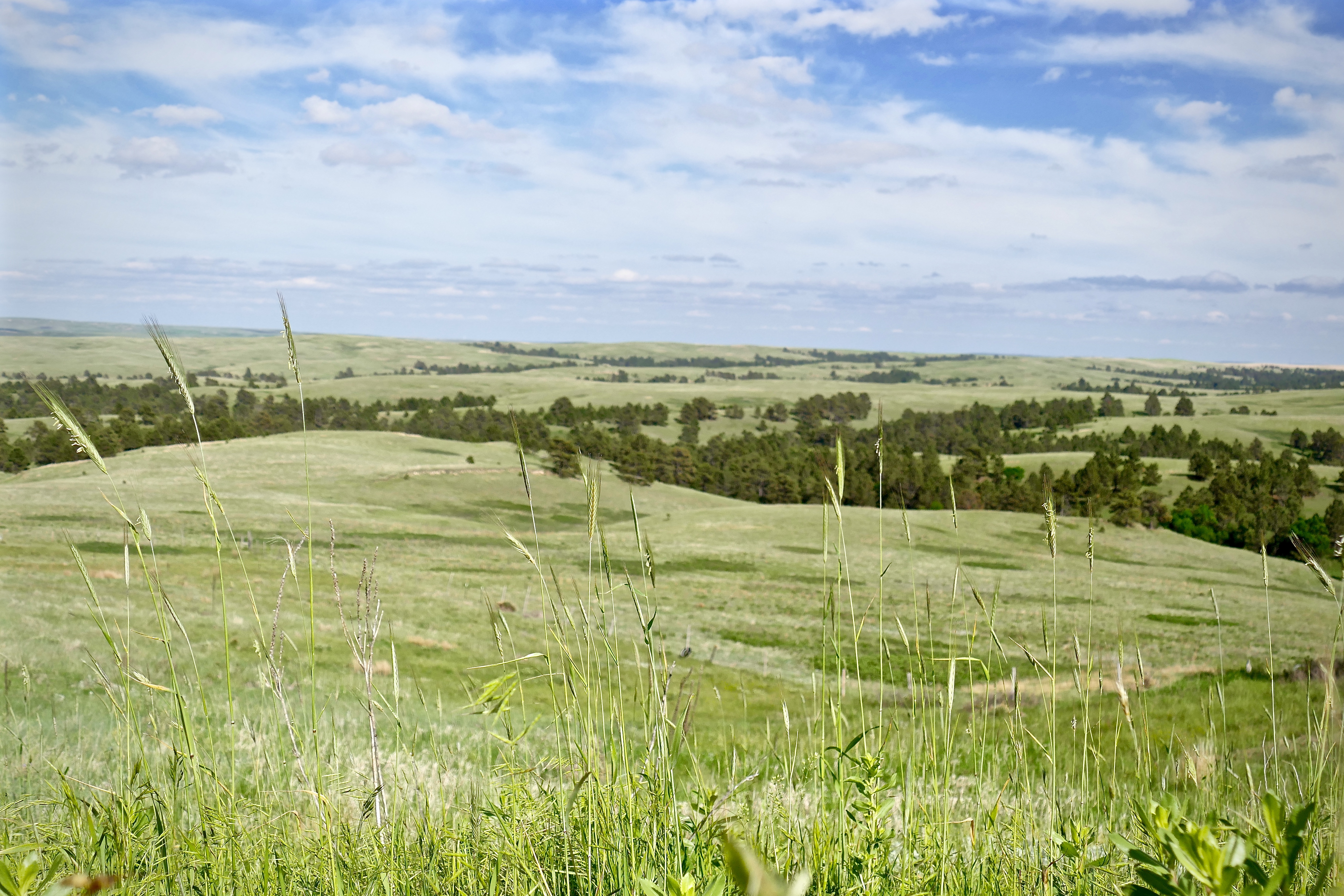
Thoughts of summer (2)

Manderson, SD-A Worthwhile Trip
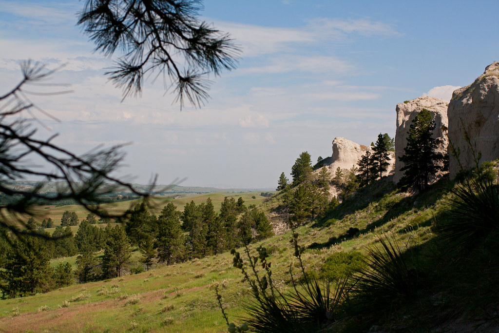
Through the Pines

Feathers on the Fence 1033
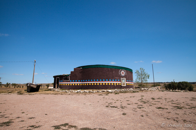
Wounded Knee Center 0359

Sad Lands

Wounded Knee Church 1031
Indian Reservation

Wounded Knee 0358

Lakota 1026
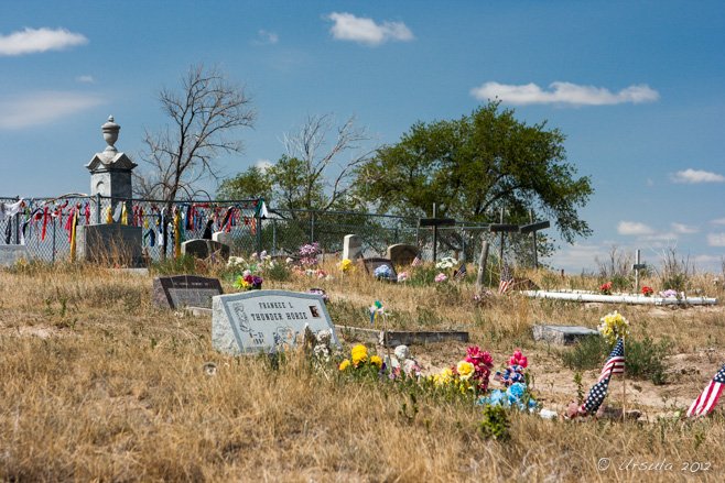
Wounded Knee Headstones 1028
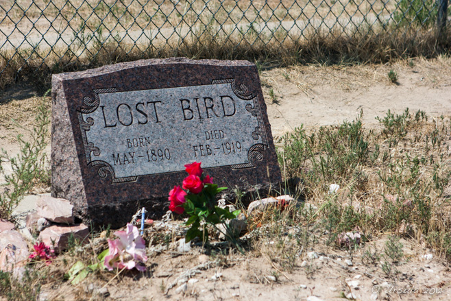
Wounded Knee Lost Bird 1029
Topographic Map of Porcupine, SD, USA
Find elevation by address:

Places near Porcupine, SD, USA:
East Shannon
Shannon County
Pine Ridge Hospital
U.s. 18
Pine Ridge
North Rushville
Gordon
Clinton
Moulton St, Gordon, NE, USA
Gordon, NE, USA
W 2nd St, Rushville, NE, USA
Rushville
East Gordon
Martin
Bennett County
Washabaugh Ave, Wanblee, SD, USA
Fawn Lake Ranch
Russell
South Sheridan
Sheridan County
Recent Searches:
- Elevation of Lampiasi St, Sarasota, FL, USA
- Elevation of Elwyn Dr, Roanoke Rapids, NC, USA
- Elevation of Congressional Dr, Stevensville, MD, USA
- Elevation of Bellview Rd, McLean, VA, USA
- Elevation of Stage Island Rd, Chatham, MA, USA
- Elevation of Shibuya Scramble Crossing, 21 Udagawacho, Shibuya City, Tokyo -, Japan
- Elevation of Jadagoniai, Kaunas District Municipality, Lithuania
- Elevation of Pagonija rock, Kranto 7-oji g. 8"N, Kaunas, Lithuania
- Elevation of Co Rd 87, Jamestown, CO, USA
- Elevation of Tenjo, Cundinamarca, Colombia