Elevation map of Shannon County, SD, USA
Location: United States > South Dakota >
Longitude: -102.62162
Latitude: 43.2437442
Elevation: 991m / 3251feet
Barometric Pressure: 90KPa
Elevation Map:
Satellite Map:
Related Photos:

Manderson, SD-A Worthwhile Trip
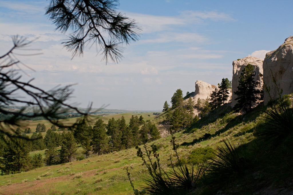
Through the Pines

Artemis (not my Artemis, but s cat with the same name)
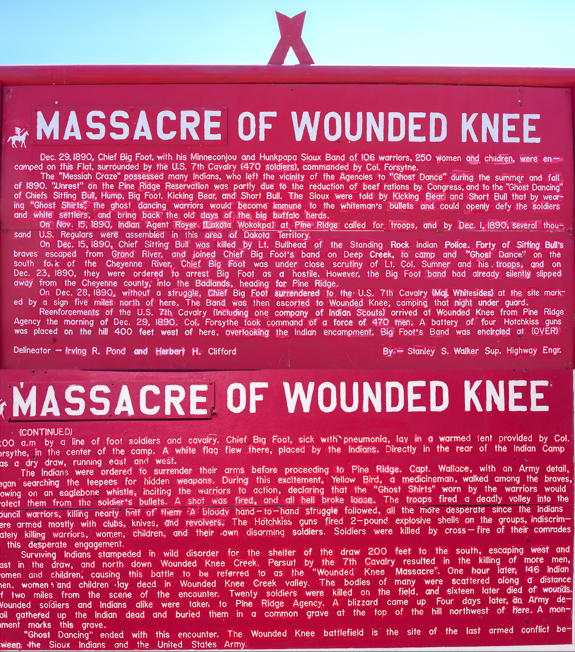
The Massacre of Wounded Knee Story
Rather beautiful in it's stark-ness. #SouthDakota #OglalaSioux

2015-06-30 20.22.02

2015-06-30 20.22.00

Rosi's cat

Alina the great

Roadside Memorial, Oglala SD, Pine Ridge Res, SD RT18

Pine Ridge Indian Reservation

Pine Ridge Indian Reservation 2012

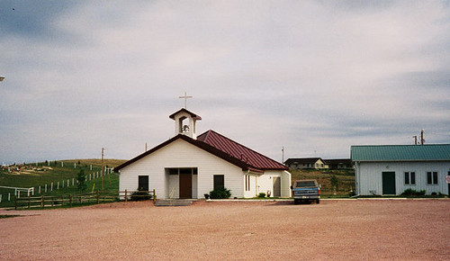
St Agnes Catholic Church, Manderson
Red Cloud 2004 - Ogala

Red Cloud 1999 - Ogala
Topographic Map of Shannon County, SD, USA
Find elevation by address:

Places in Shannon County, SD, USA:
Places near Shannon County, SD, USA:
U.s. 18
Pine Ridge
Pine Ridge Hospital
Porcupine
East Shannon
North Rushville
W 2nd St, Rushville, NE, USA
Rushville
Moulton St, Gordon, NE, USA
Clinton
Gordon
Gordon, NE, USA
East Gordon
Martin
Fawn Lake Ranch
South Sheridan
Sheridan County
Bennett County
Washabaugh Ave, Wanblee, SD, USA
Russell
Recent Searches:
- Elevation of Luther Road, Luther Rd, Auburn, CA, USA
- Elevation of Unnamed Road, Respublika Severnaya Osetiya — Alaniya, Russia
- Elevation of Verkhny Fiagdon, North Ossetia–Alania Republic, Russia
- Elevation of F. Viola Hiway, San Rafael, Bulacan, Philippines
- Elevation of Herbage Dr, Gulfport, MS, USA
- Elevation of Lilac Cir, Haldimand, ON N3W 2G9, Canada
- Elevation of Harrod Branch Road, Harrod Branch Rd, Kentucky, USA
- Elevation of Wyndham Grand Barbados Sam Lords Castle All Inclusive Resort, End of Belair Road, Long Bay, Bridgetown Barbados
- Elevation of Iga Trl, Maggie Valley, NC, USA
- Elevation of N Co Rd 31D, Loveland, CO, USA