Elevation of East Shannon, SD, USA
Location: United States > South Dakota > Shannon County >
Longitude: -102.34638
Latitude: 43.3503088
Elevation: 981m / 3218feet
Barometric Pressure: 90KPa
Elevation Map:
Satellite Map:
Related Photos:
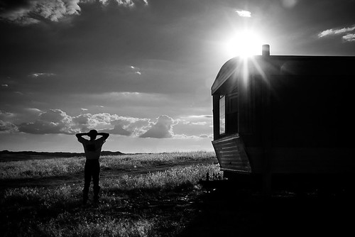
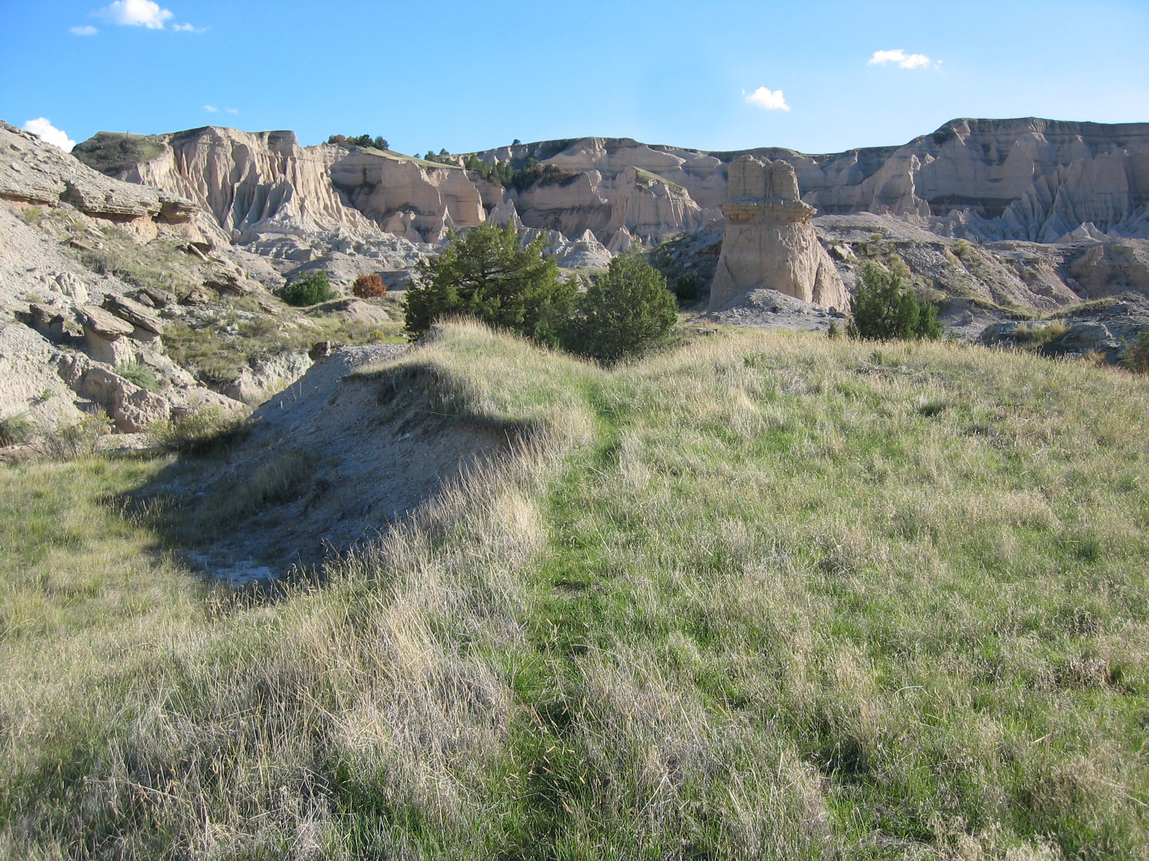
A Man on his land
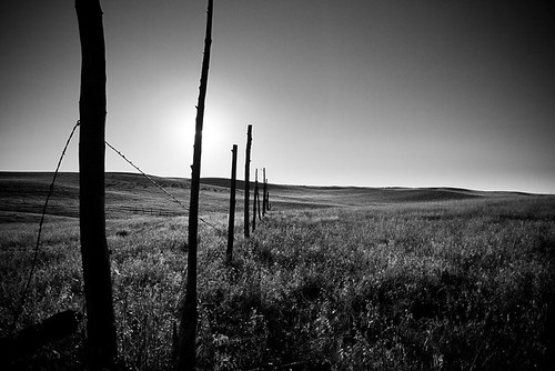
Grassy Plains

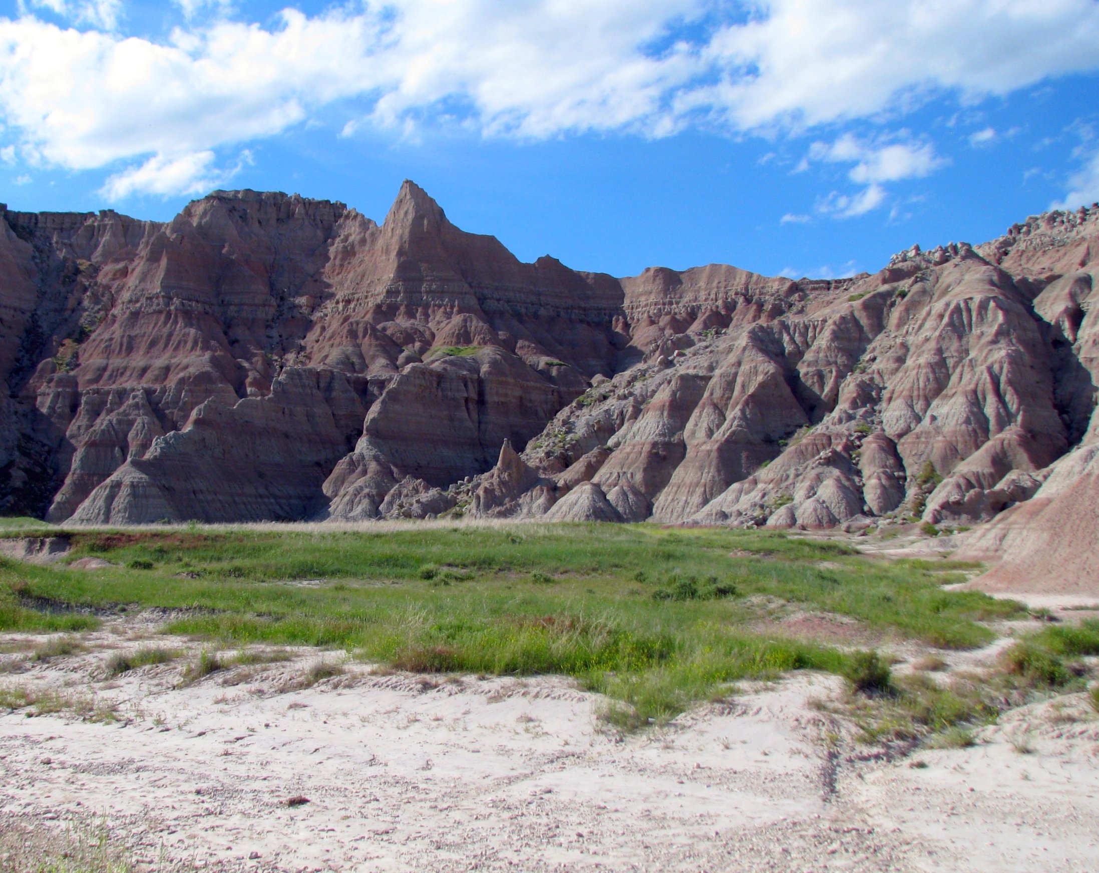
Palmer Creek Pyramid

Manderson, SD-A Worthwhile Trip
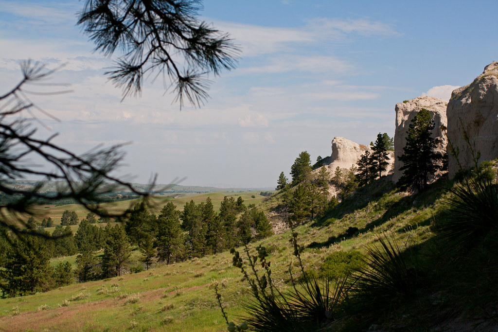
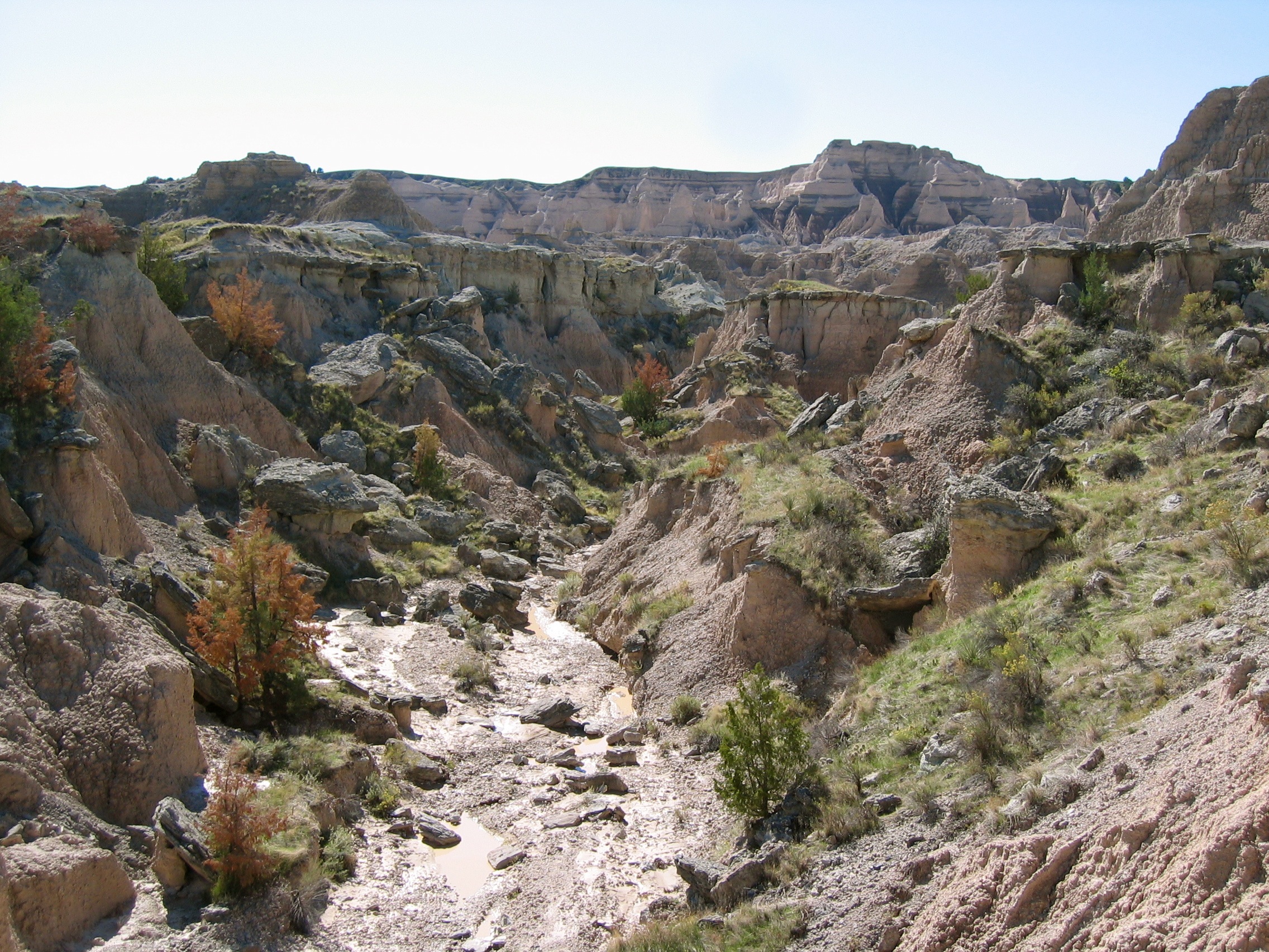
Through the Pines
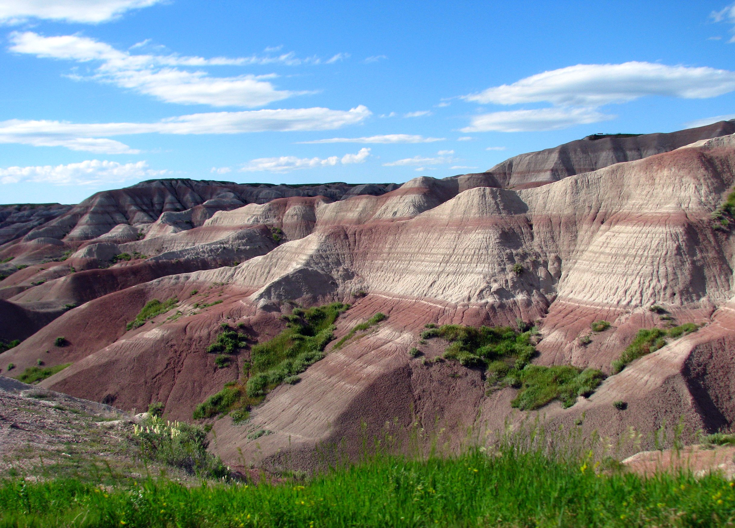
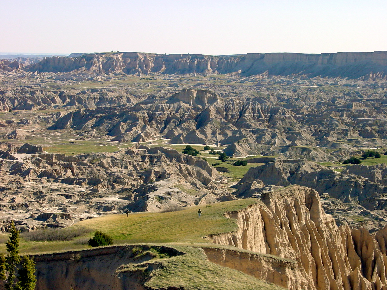
Badlands National Park
Xibalba butte
Badlands National Park
Palmer Creek 4
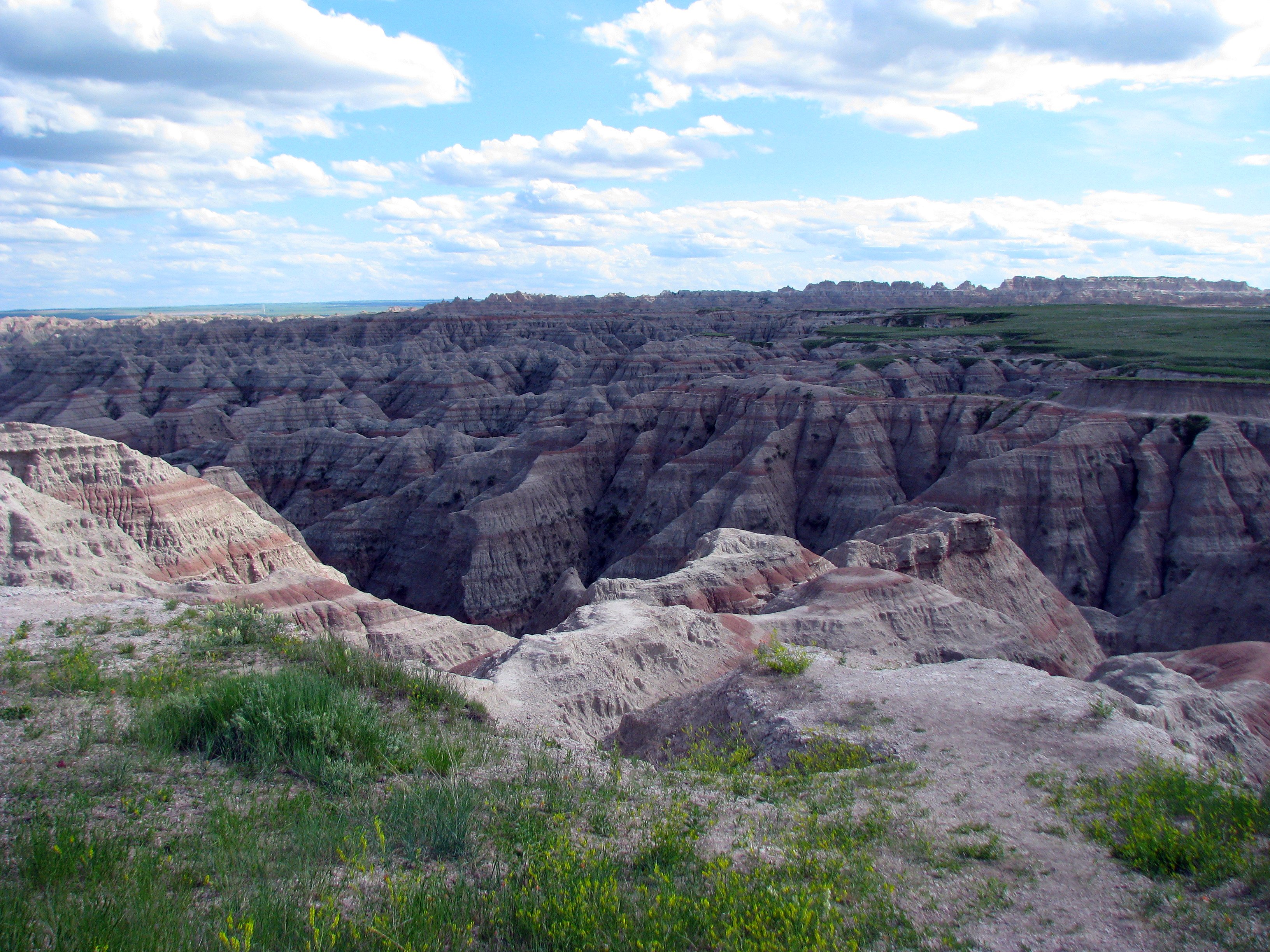
Badlands National Park
Palmer Creek 7
Topographic Map of East Shannon, SD, USA
Find elevation by address:

Places in East Shannon, SD, USA:
Places near East Shannon, SD, USA:
Porcupine
Shannon County
Pine Ridge Hospital
U.s. 18
Pine Ridge
North Rushville
Gordon
Clinton
Moulton St, Gordon, NE, USA
Gordon, NE, USA
Martin
W 2nd St, Rushville, NE, USA
Rushville
East Gordon
Washabaugh Ave, Wanblee, SD, USA
Bennett County
Fawn Lake Ranch
Russell
South Sheridan
Sheridan County
Recent Searches:
- Elevation of Elwyn Dr, Roanoke Rapids, NC, USA
- Elevation of Congressional Dr, Stevensville, MD, USA
- Elevation of Bellview Rd, McLean, VA, USA
- Elevation of Stage Island Rd, Chatham, MA, USA
- Elevation of Shibuya Scramble Crossing, 21 Udagawacho, Shibuya City, Tokyo -, Japan
- Elevation of Jadagoniai, Kaunas District Municipality, Lithuania
- Elevation of Pagonija rock, Kranto 7-oji g. 8"N, Kaunas, Lithuania
- Elevation of Co Rd 87, Jamestown, CO, USA
- Elevation of Tenjo, Cundinamarca, Colombia
- Elevation of Côte-des-Neiges, Montreal, QC H4A 3J6, Canada