Elevation of Ponderosa Way, Paynes Creek, CA, USA
Location: United States > California > Trinity County > Paynes Creek >
Longitude: -121.79308
Latitude: 40.312244
Elevation: 884m / 2900feet
Barometric Pressure: 91KPa
Elevation Map:
Satellite Map:
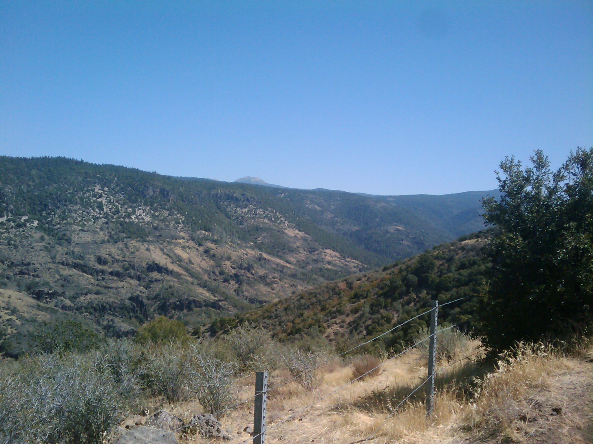
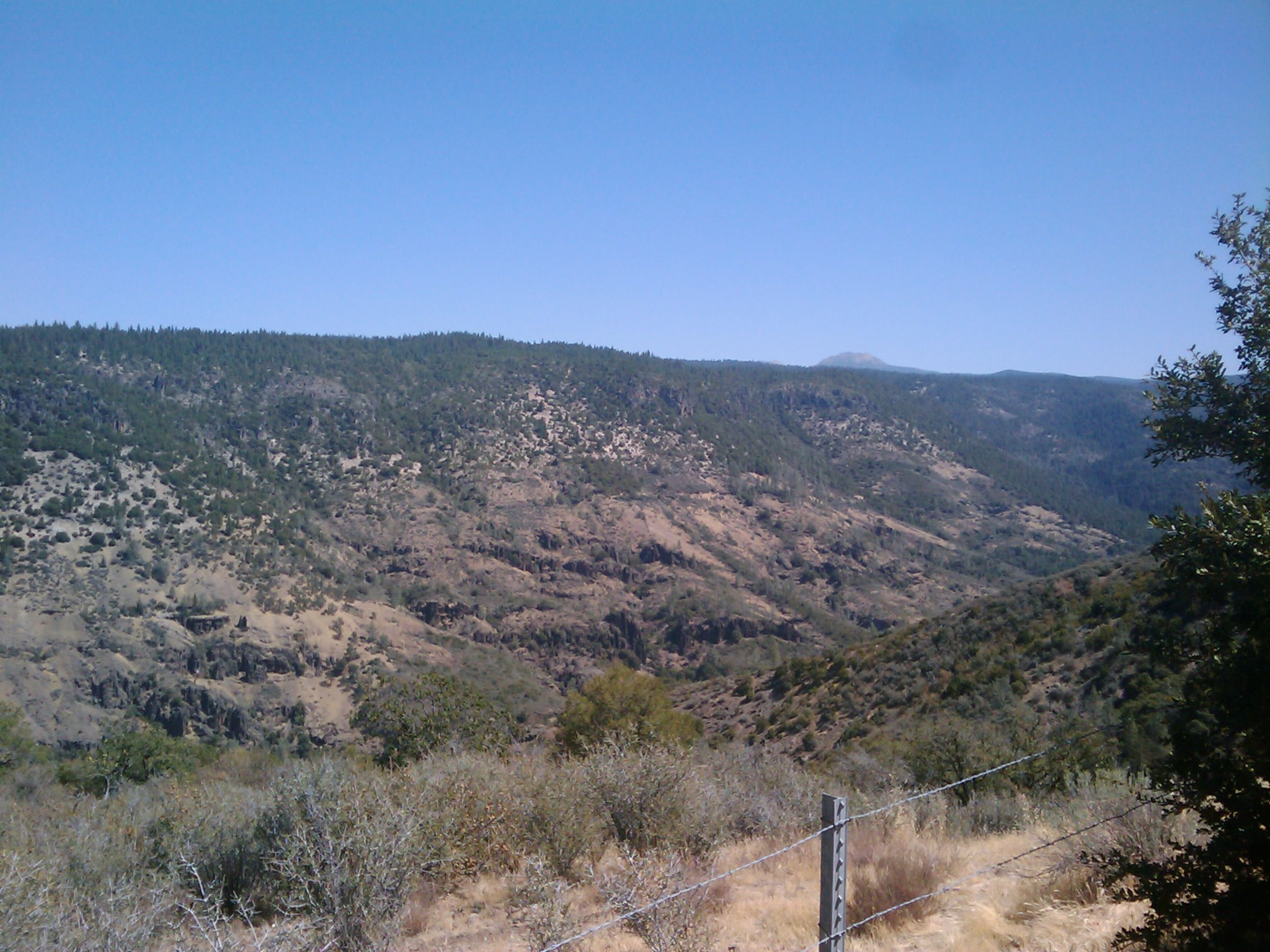
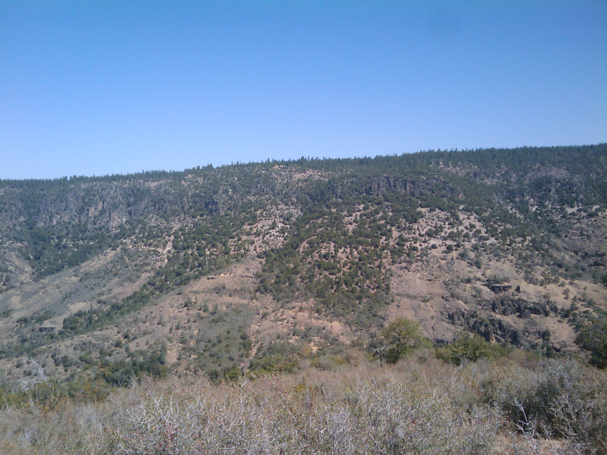
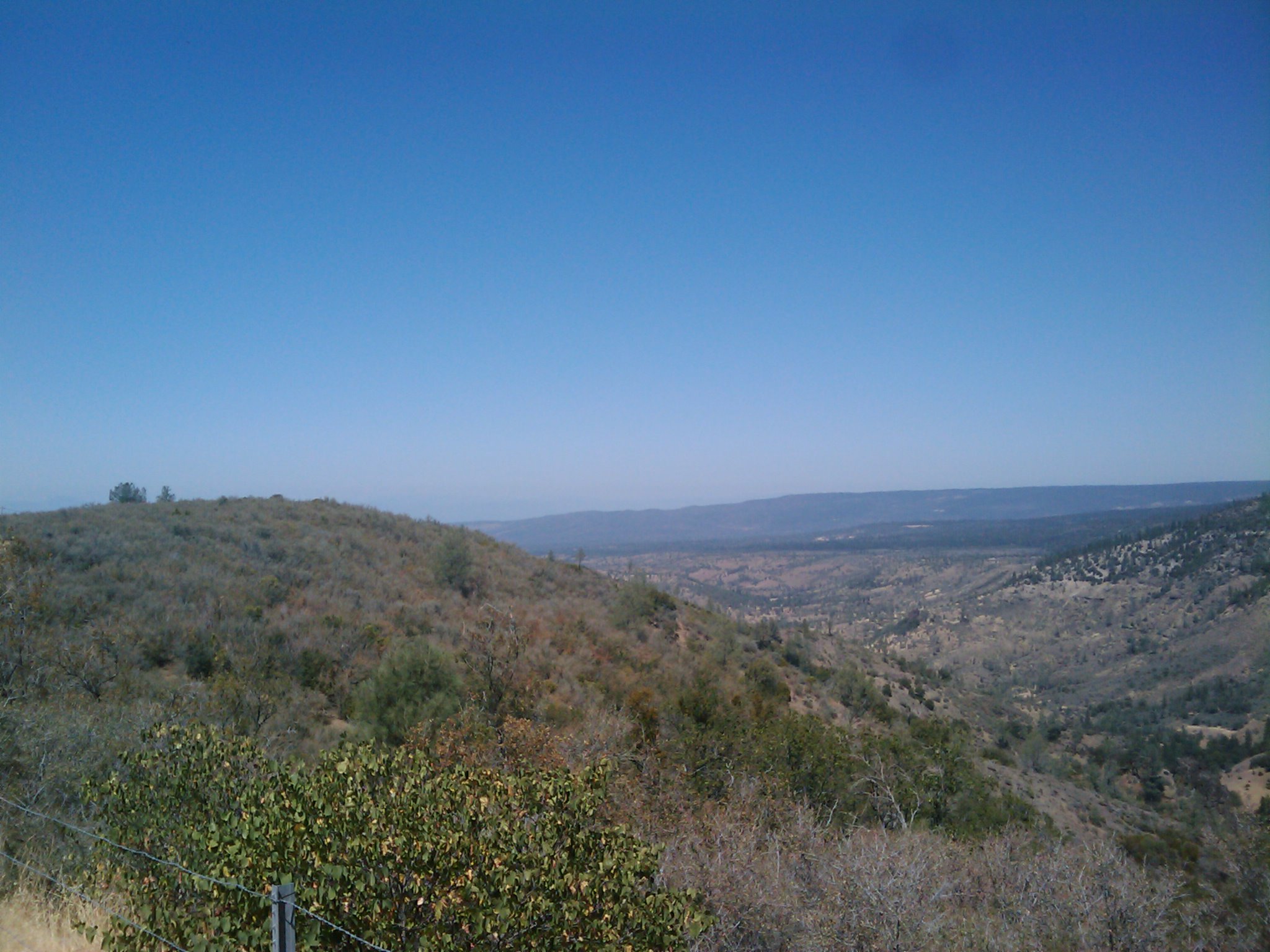
Related Photos:
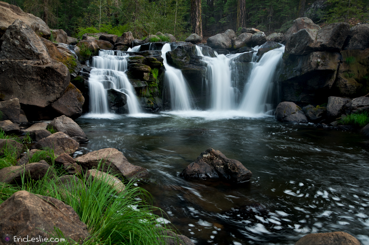
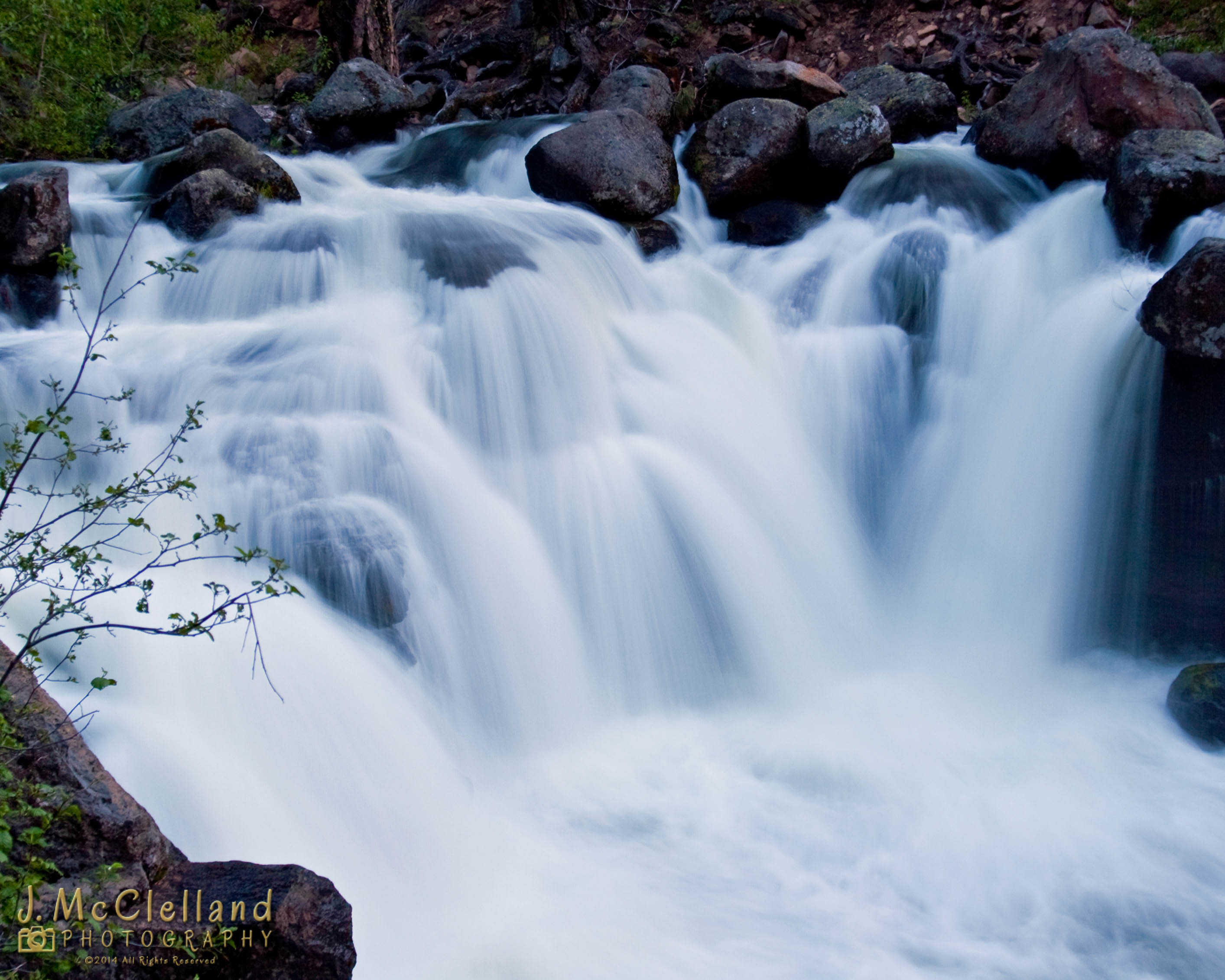
Battle Creek Falls
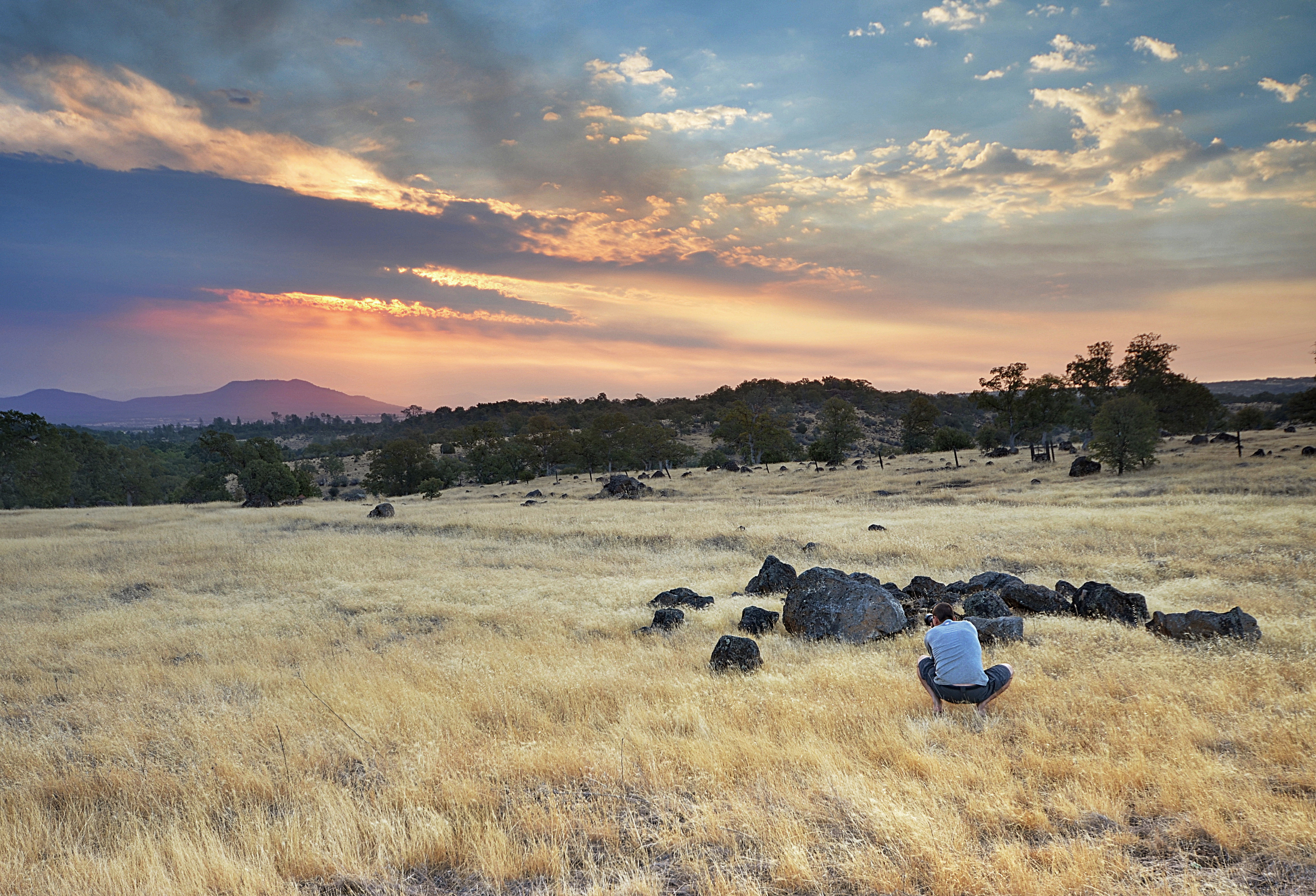
Going On a Lion Hunt
Battle Creek Falls
Viewpoint on California SR 36

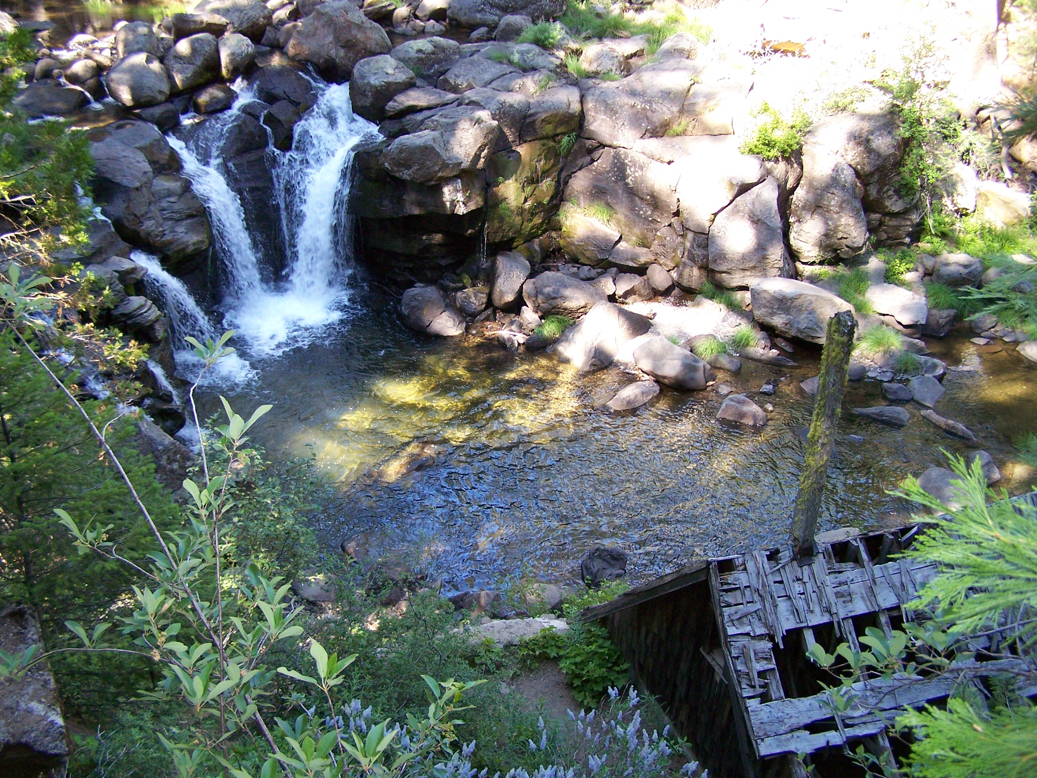
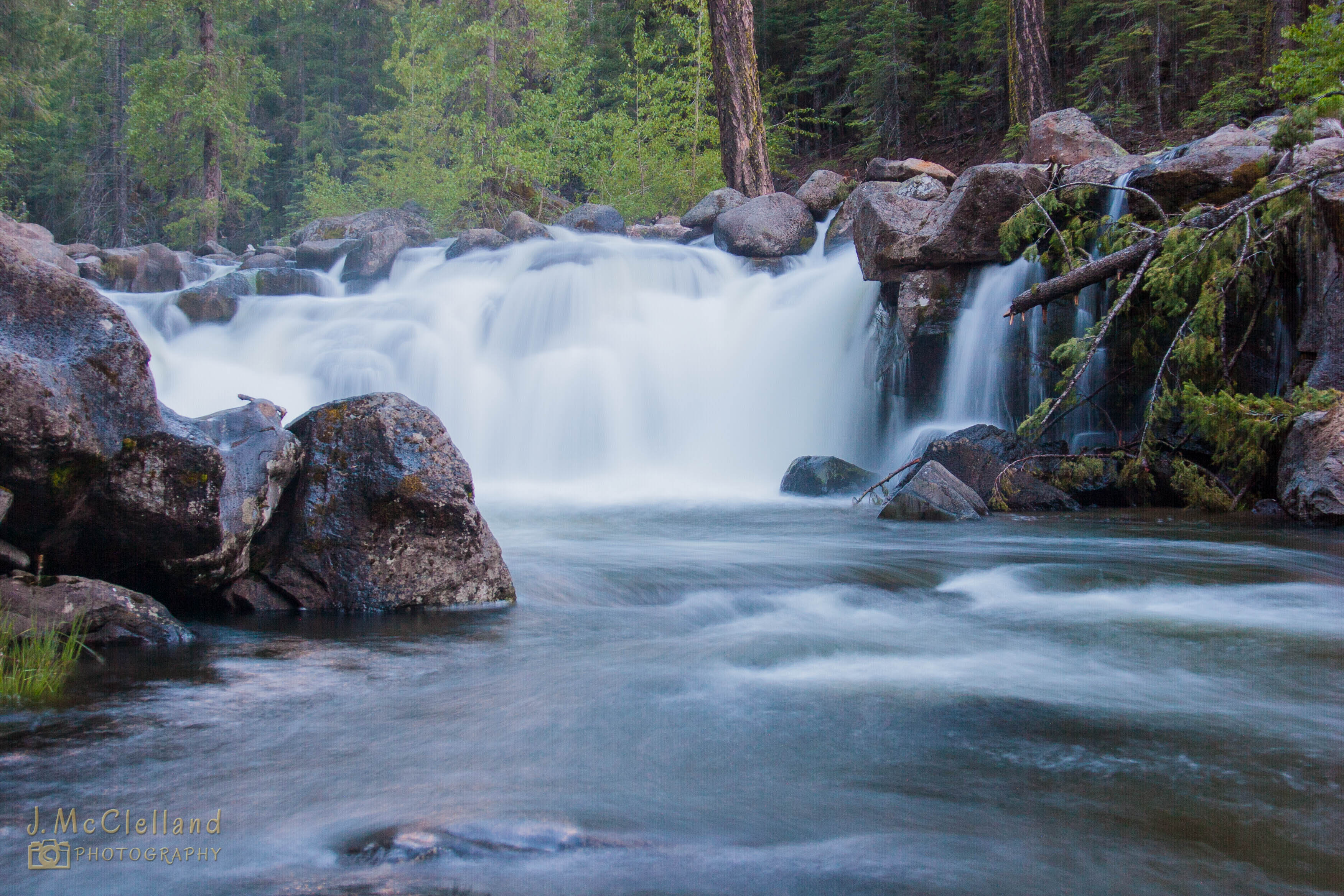
South Fork of Battle Creek
Battle Creek
Battle Creek Falls
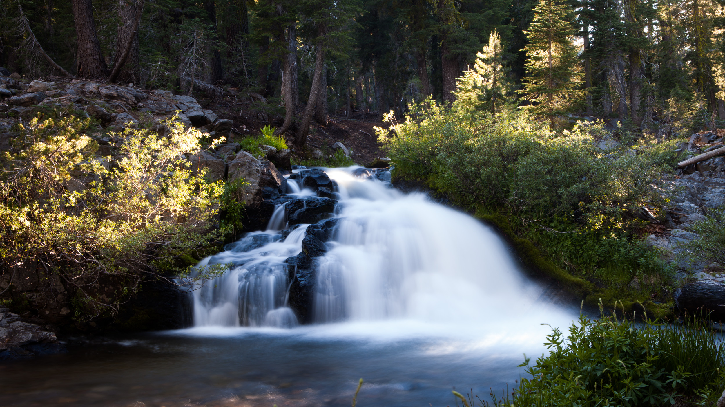
Kings Creek Falls
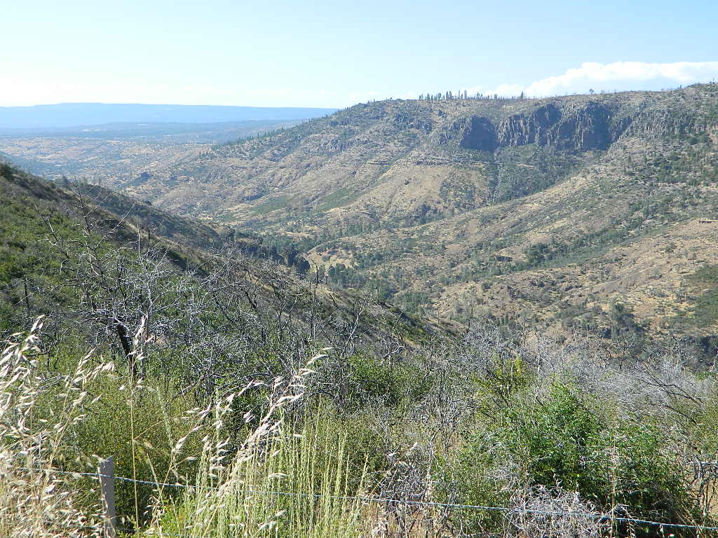
Hogsback - Red Bluff, CA
7-28-2004 005
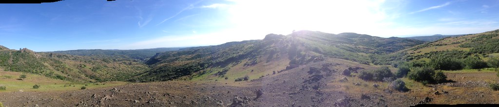
Mill Creek Valley seen from the top of Black Rock, 1955
7-28-2004 006

IMG_2702.jpg
2009-08-25 12.03.10

2013 05 Memorial day road trip - 27
2009-08-25 12.05.43
2009-08-25 12.03.26

Lassen Volcanic NP

2013 05 Memorial day road trip - 30
2009-08-25 12.03.40
2009-08-25 12.04.25
Topographic Map of Ponderosa Way, Paynes Creek, CA, USA
Find elevation by address:

Places near Ponderosa Way, Paynes Creek, CA, USA:
33496 Plum Creek Rd
Ruth Lane
Summit Road
33654 Ponderosa Way
Tramway Rd, Paynes Creek, CA, USA
21190 Deer Springs Rd
Deer Springs Road
Plum Creek Rd, Paynes Creek, CA, USA
Paynes Creek
21660 Manton School Rd
Forward Rd, Manton, CA, USA
5512 Woodcutter's Way
Manton
5512 Woodcutter's Way
5512 Woodcutter's Way
32249 Rock Creek Rd
5397 Ole Ave
30770 Battle Creek Bottom Rd
27420 Ca-36
6450 Wilson Hill Rd
Recent Searches:
- Elevation of 15 Victory Ave, Greenville, SC, USA
- Elevation of Kota Ternate Utara, Ternate City, North Maluku, Indonesia
- Elevation of Allon St, Oceanside, NY, USA
- Elevation of Carroll Creek Rd, Custer, SD, USA
- Elevation of Lust Road, Lust Rd, Florida, USA
- Elevation of Pleasant Valley Rd NW, Adairsville, GA, USA
- Elevation of Općina Šodolovci, Croatia
- Elevation of Šodolovci, Croatia
- Elevation of Old Clairton Rd, Jefferson Hills, PA, USA
- Elevation of st Ave SE, Lisbon, ND, USA