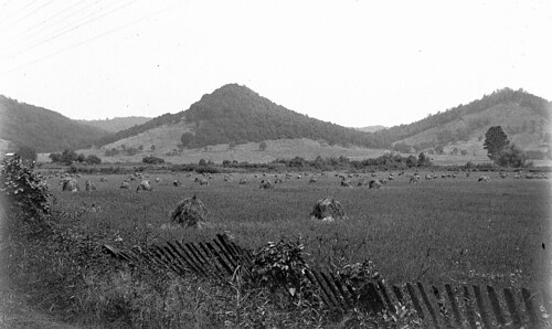
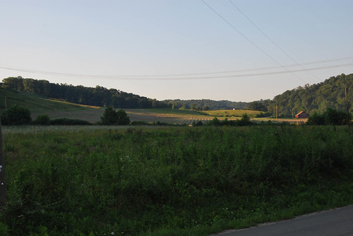
Elevation of Poes Run Rd, Londonderry, OH, USA
Location: United States > Ohio > Ross County > Liberty Township > Londonderry >
Longitude: -82.775319
Latitude: 39.2946254
Elevation: 260m / 853feet
Barometric Pressure: 98KPa
Related Photos:
Topographic Map of Poes Run Rd, Londonderry, OH, USA
Find elevation by address:

Places near Poes Run Rd, Londonderry, OH, USA:
Cunningham Road
Londonderry
Liberty Township
2505 W Junction Rd
Jefferson Township
Old US Rte 35, Chillicothe, OH, USA
Ray
640 Watson Rd
640 Watson Rd
484 Whiskey Run Rd
Jackson Township
36 Savageville School Rd, Ray, OH, USA
2920 Seney Rd
Limerick Rd, Jackson, OH, USA
Franklin Township
738 Watson Rd
164 Hay Hollow Rd
34116 Township Hwy 23a
Raysville Rd, Wellston, OH, USA
Back Hollow Rd, Waverly, OH, USA
Recent Searches:
- Elevation of Beall Road, Beall Rd, Florida, USA
- Elevation of Leguwa, Nepal
- Elevation of County Rd, Enterprise, AL, USA
- Elevation of Kolchuginsky District, Vladimir Oblast, Russia
- Elevation of Shustino, Vladimir Oblast, Russia
- Elevation of Lampiasi St, Sarasota, FL, USA
- Elevation of Elwyn Dr, Roanoke Rapids, NC, USA
- Elevation of Congressional Dr, Stevensville, MD, USA
- Elevation of Bellview Rd, McLean, VA, USA
- Elevation of Stage Island Rd, Chatham, MA, USA


