Elevation of Whiskey Run Rd, Chillicothe, OH, USA
Location: United States > Ohio > Ross County > Scioto Township > Chillicothe >
Longitude: -82.797109
Latitude: 39.150184
Elevation: -10000m / -32808feet
Barometric Pressure: 295KPa
Elevation Map:
Satellite Map:
Related Photos:

I found another old bridge

Abandoned Gas Station

Green/Green
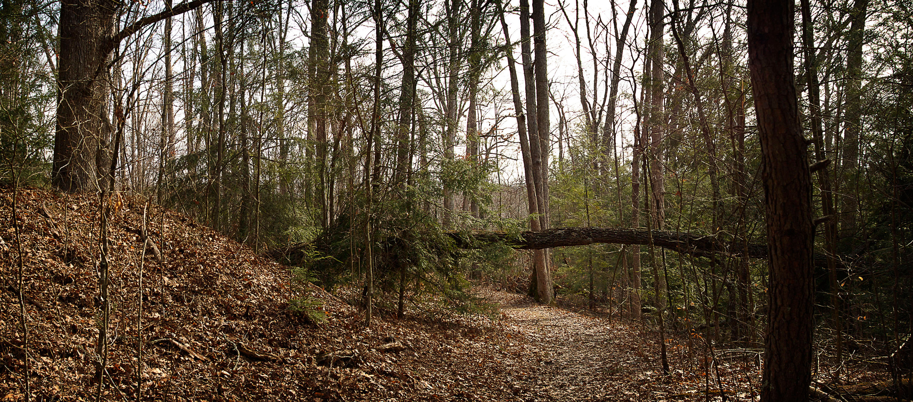
Pine Ridge Trail, Lake Katharine (4)
Pine Ridge Trail, Lake Katharine (6)

Winter gloom on the road to Ponetown.

Pine Ridge Trail, Lake Katharine (1)

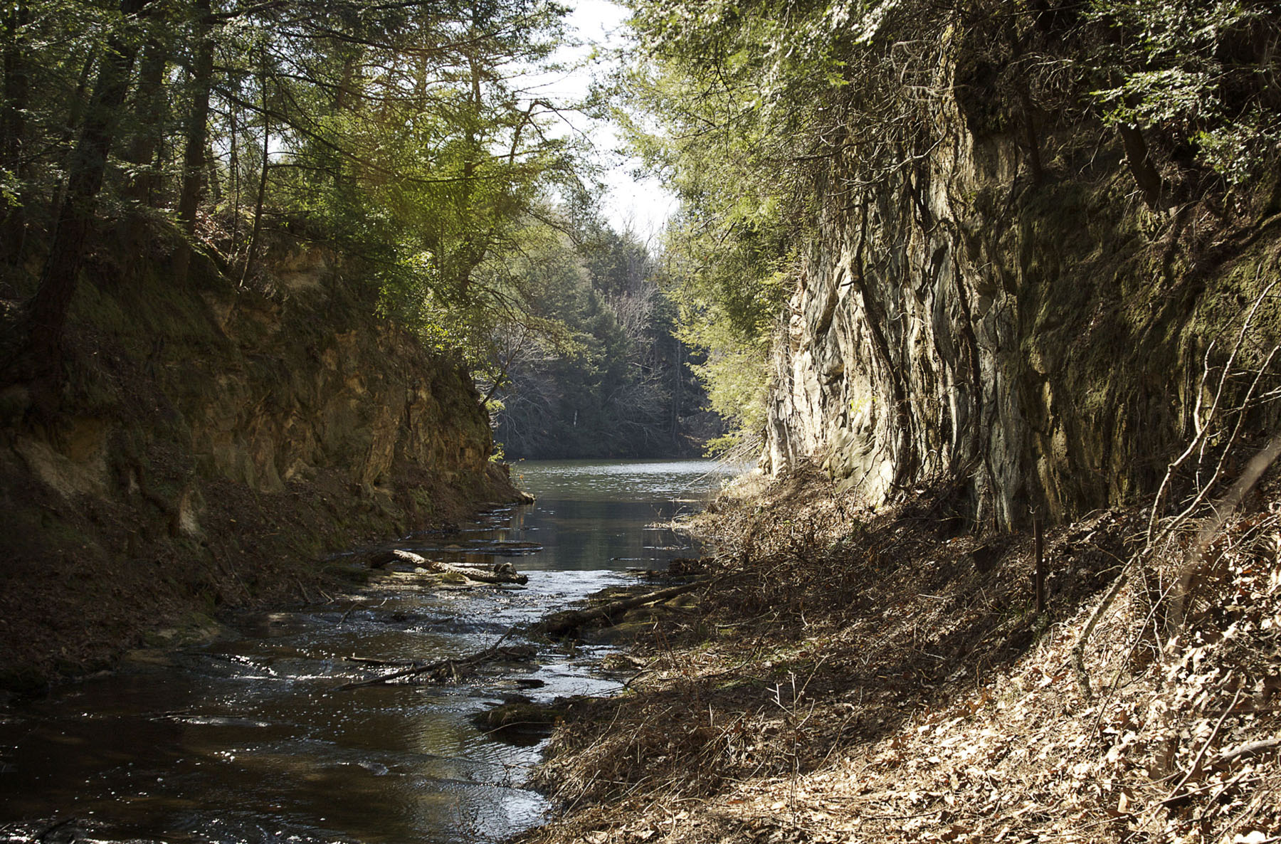
Salt Creek

Stick to the trail

Hiking Ohio

Early Light on the Lake

Hammertown Lake

2011-02-13a

Quiet Day At The Lake
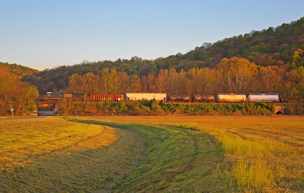
Q634 - MP 34

Yellow-sided Skimmer dragonfly

Lake Katherine

Scioto Trail State Forest

Still serves a purpose

Hanging on

BandCamp-85

Pumpkin-O-Rama

Leo Petroglyph

Farmland — Jackson Township, Pike County, Ohio

BandCamp-19

Small fall
Topographic Map of Whiskey Run Rd, Chillicothe, OH, USA
Find elevation by address:

Places near Whiskey Run Rd, Chillicothe, OH, USA:
640 Watson Rd
640 Watson Rd
Limerick Rd, Jackson, OH, USA
164 Hay Hollow Rd
738 Watson Rd
36 Savageville School Rd, Ray, OH, USA
Jackson Township
Jackson Township
Beaver
Raysville Rd, Wellston, OH, USA
Back Hollow Rd, Waverly, OH, USA
Sour Run Road
1145 Alma Omega Rd
Valerie Dr, Waverly, OH, USA
Pine Lake
OH-, Waverly, OH, USA
E Main St, Jackson, OH, USA
Jackson
818 Mayhew Rd
1751 Schuster Rd
Recent Searches:
- Elevation of Steadfast Ct, Daphne, AL, USA
- Elevation of Lagasgasan, X+CQH, Tiaong, Quezon, Philippines
- Elevation of Rojo Ct, Atascadero, CA, USA
- Elevation of Flagstaff Drive, Flagstaff Dr, North Carolina, USA
- Elevation of Avery Ln, Lakeland, FL, USA
- Elevation of Woolwine, VA, USA
- Elevation of Lumagwas Diversified Farmers Multi-Purpose Cooperative, Lumagwas, Adtuyon, RV32+MH7, Pangantucan, Bukidnon, Philippines
- Elevation of Homestead Ridge, New Braunfels, TX, USA
- Elevation of Orchard Road, Orchard Rd, Marlborough, NY, USA
- Elevation of 12 Hutchinson Woods Dr, Fletcher, NC, USA