Elevation of Ray, OH, USA
Location: United States > Ohio > Jackson County > Jackson Township >
Longitude: -82.683500
Latitude: 39.2036801
Elevation: 187m / 614feet
Barometric Pressure: 99KPa
Elevation Map:
Satellite Map:
Related Photos:

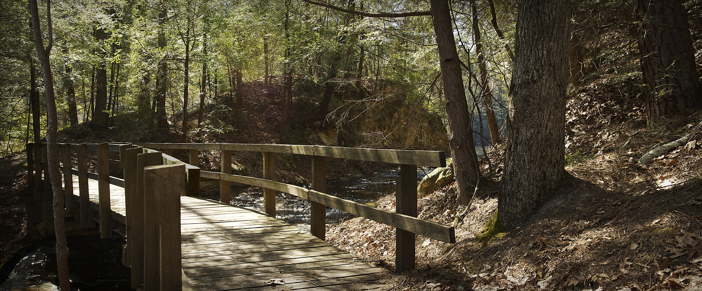
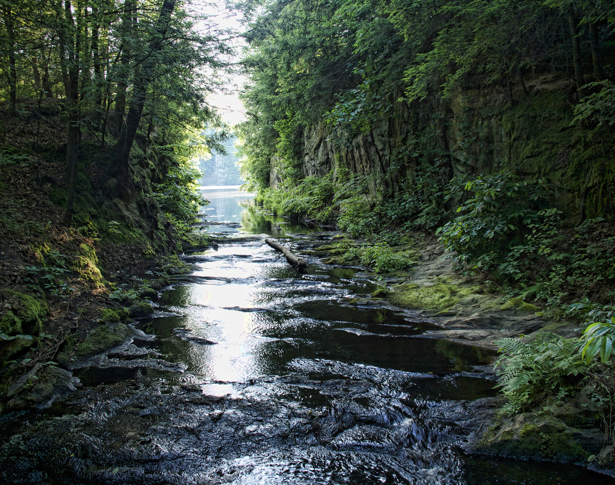
Pine Ridge Trail, Lake Katharine (3)

Pine Ridge Trail, Lake Katharine (10)
Pine Ridge Trail, Lake Katharine (7)
Pine Ridge Trail, Lake Katharine (4)

Pine Ridge Trail, Lake Katharine (5)

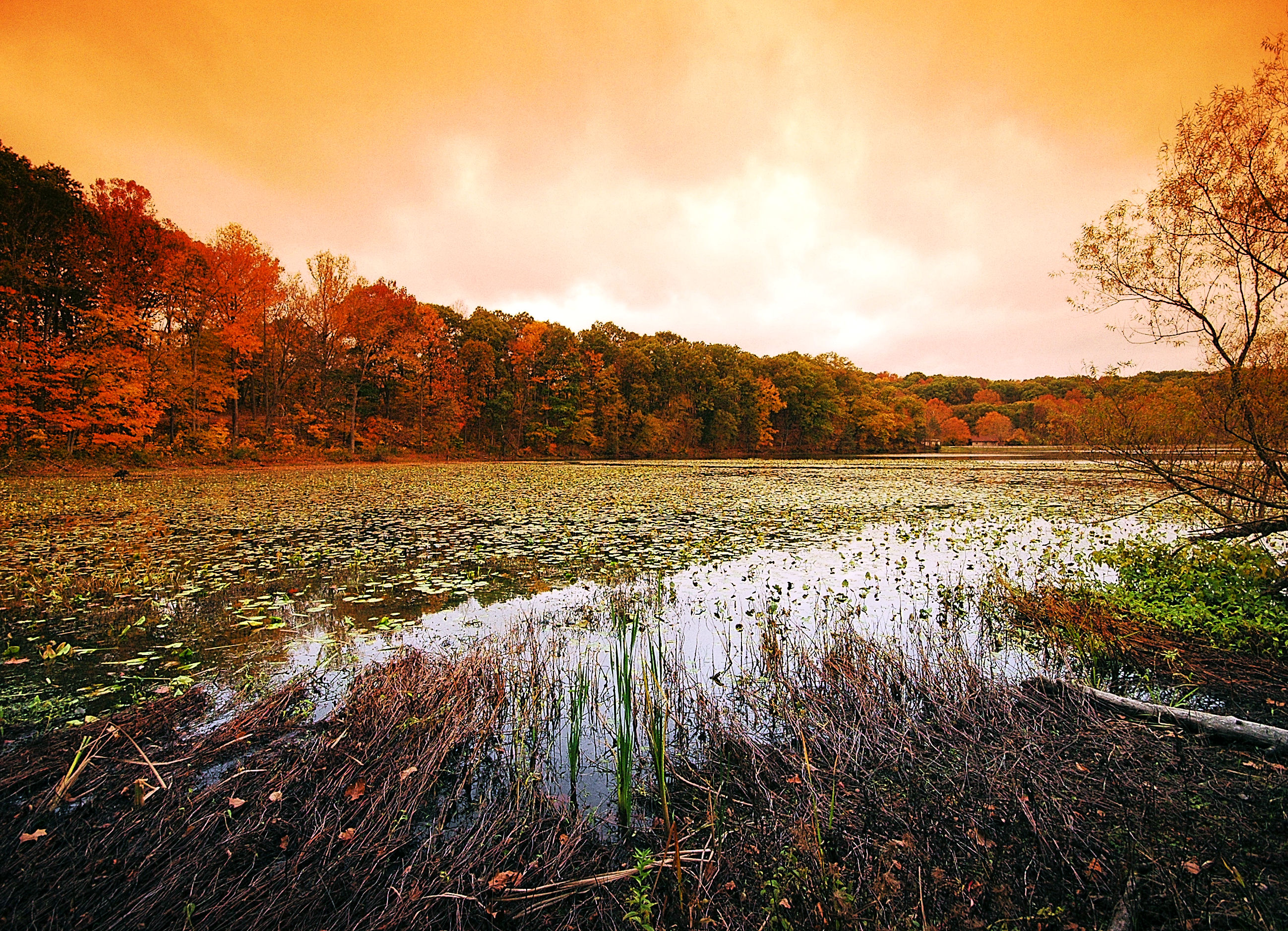
Lake Katharine
Pine Ridge Trail, Lake Katharine (1)

Pine Ridge Trail, Lake Katharine (8)

Pine Ridge Trail, Lake Katharine (9)
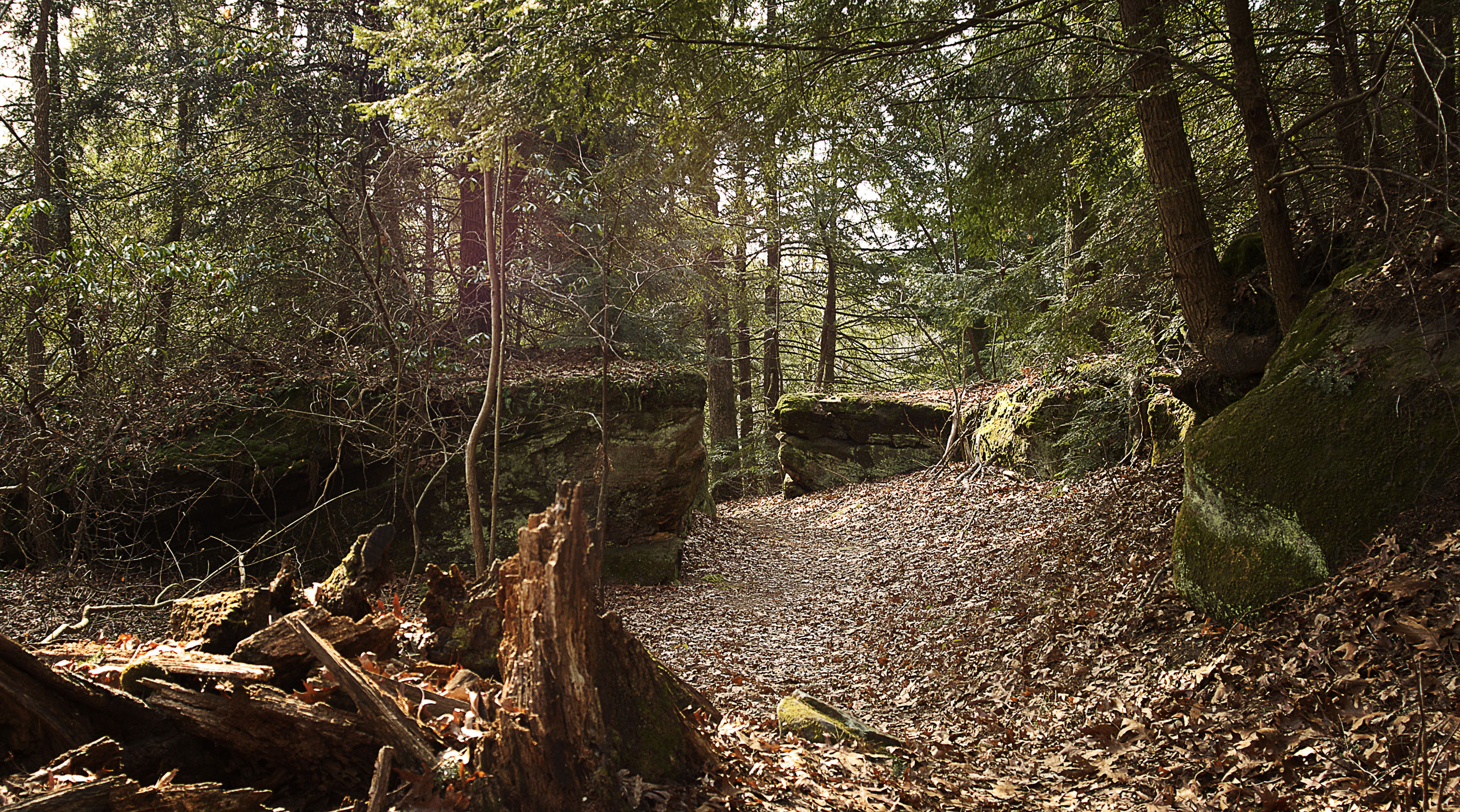
Pine Ridge Trail, Lake Katharine (6)
Lake Alma State Park 2
Early Light on the Lake

Leo Petroglyph State Park
2011-02-13a

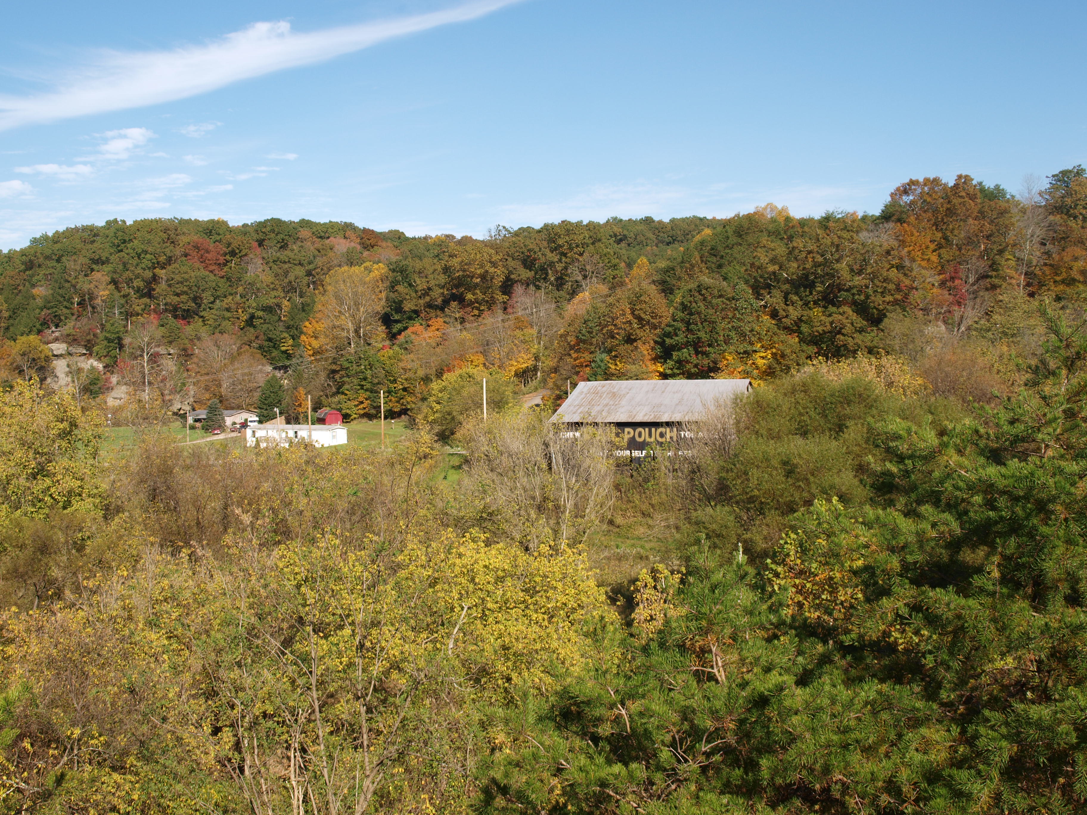
Southeastern Ohio #rollinhills #rural #vista #landscape #pretty #nov2874 #sprphotog
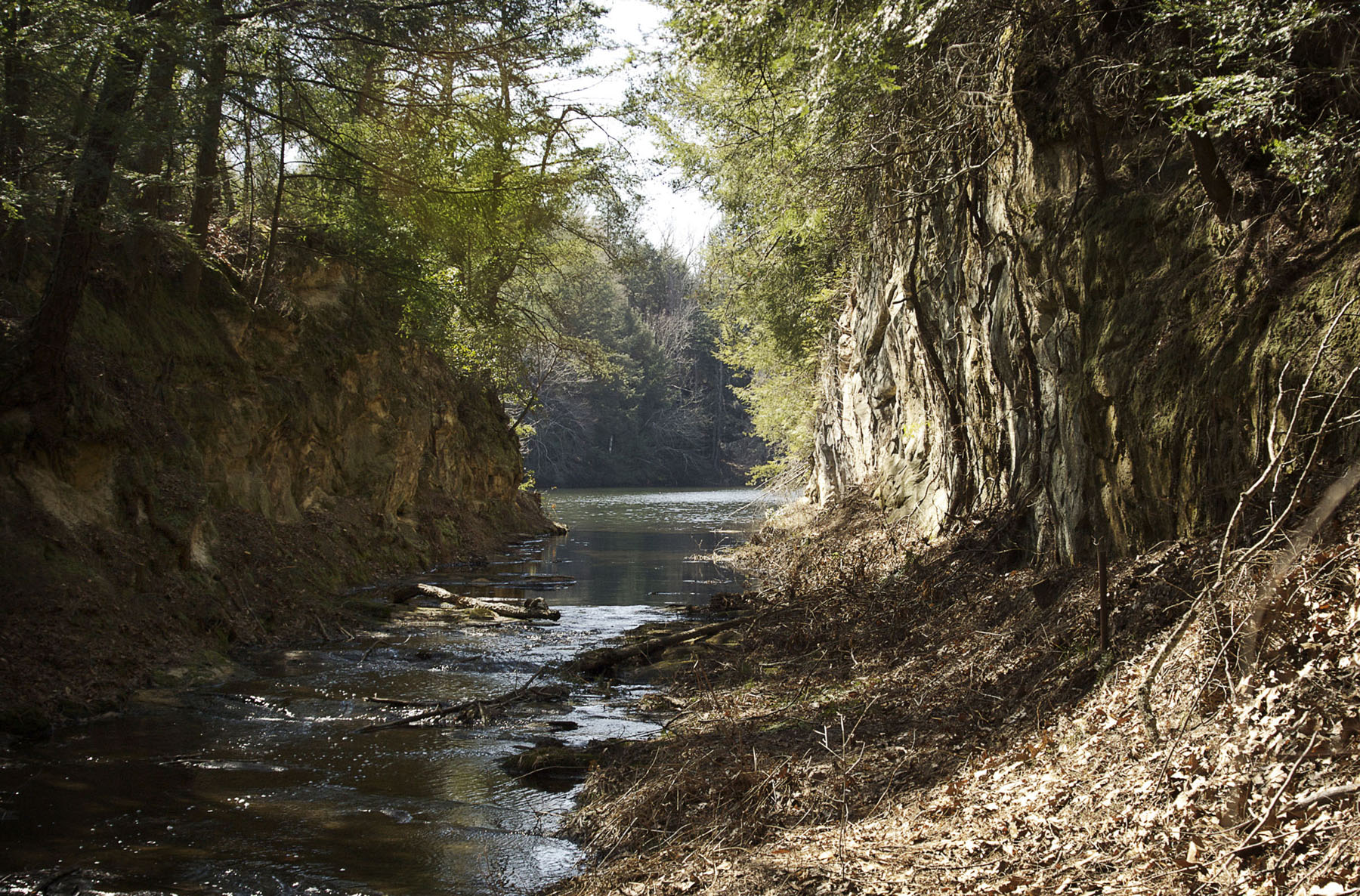
Lake Kathrine runoff

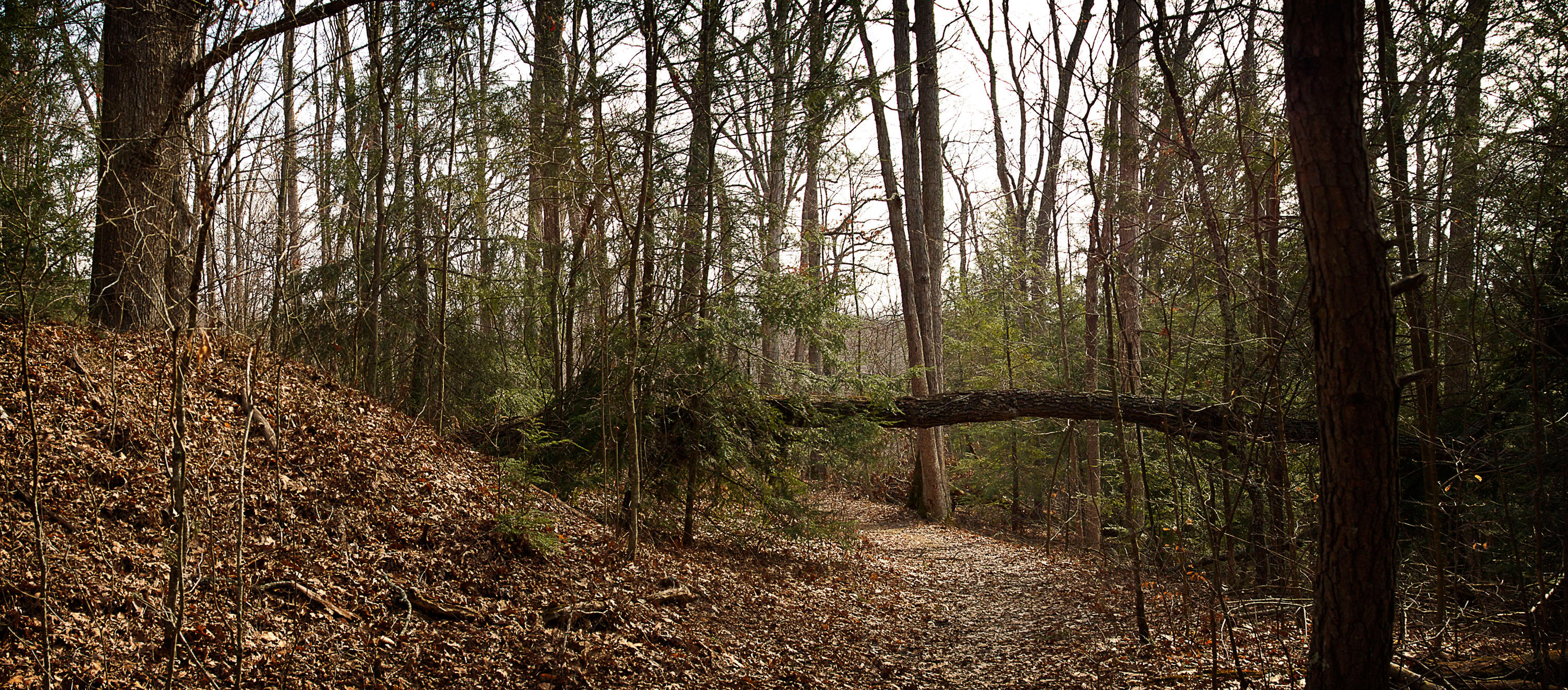
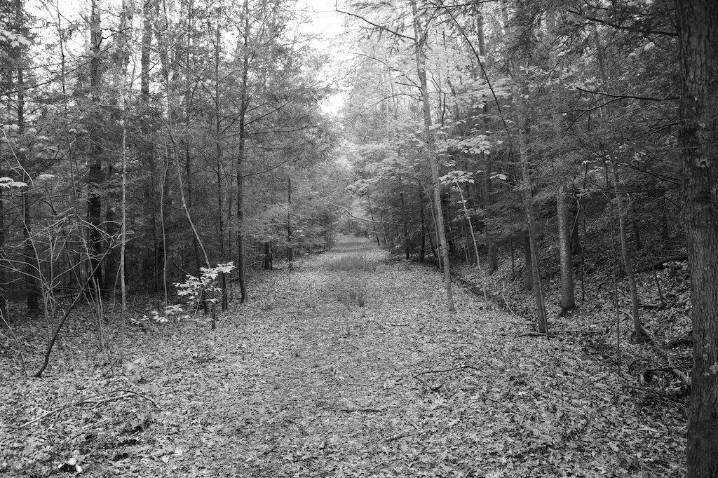
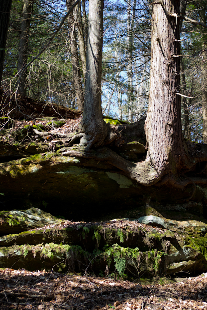
A Walk in the Woods
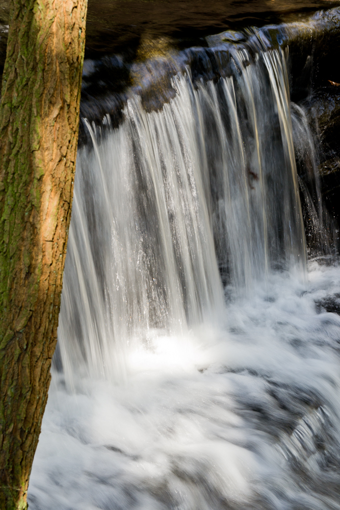
Small fall
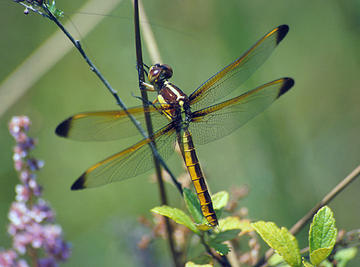
Yellow-sided Skimmer dragonfly
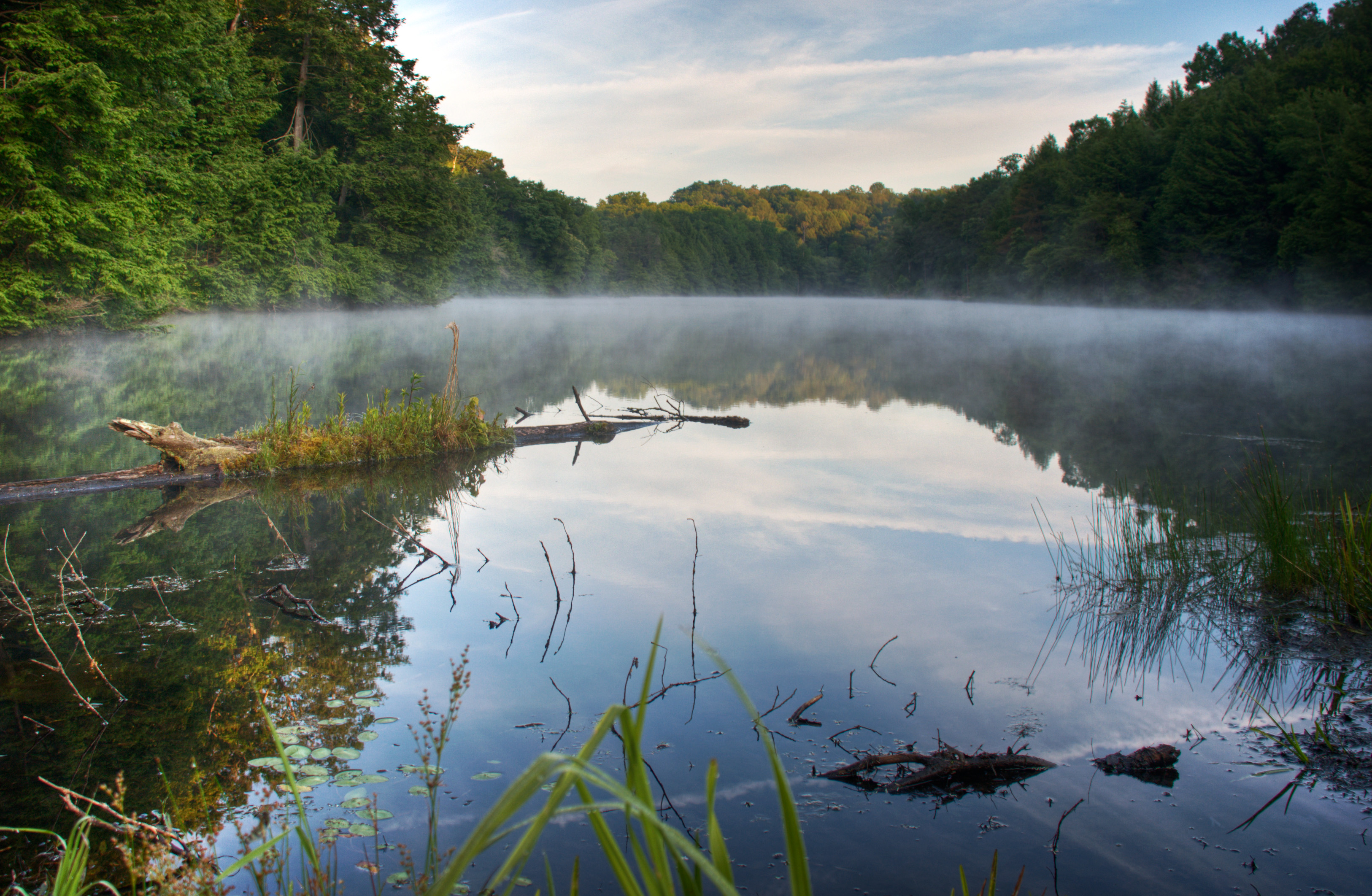
Lake Katherine
Still serves a purpose
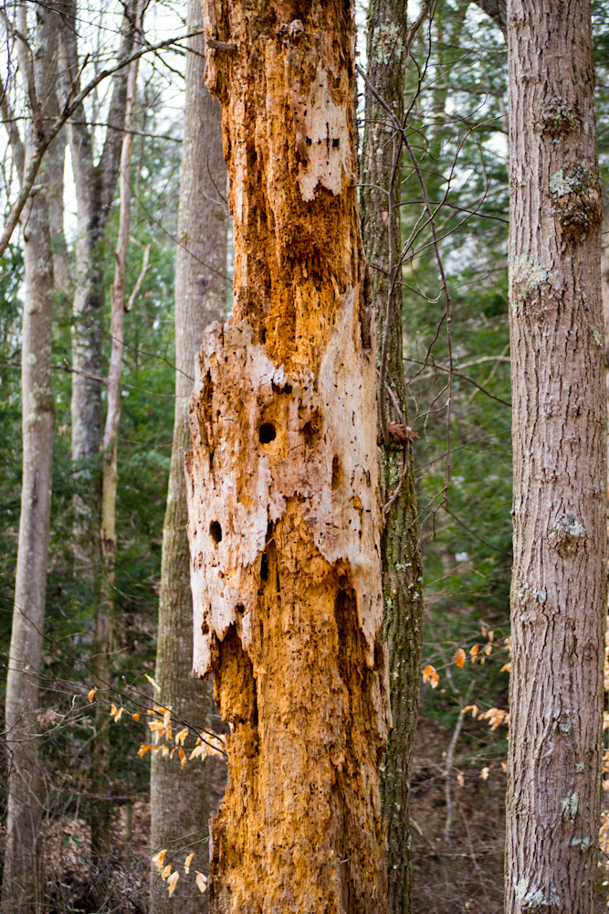
Hanging on
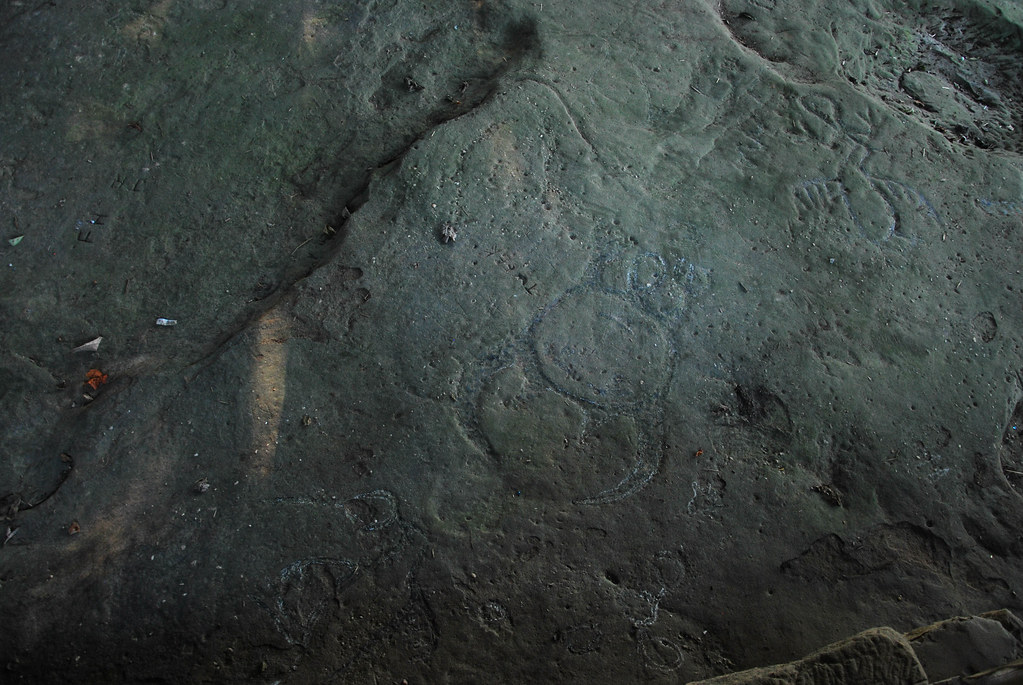
Leo Petroglyph

Waiting to thaw
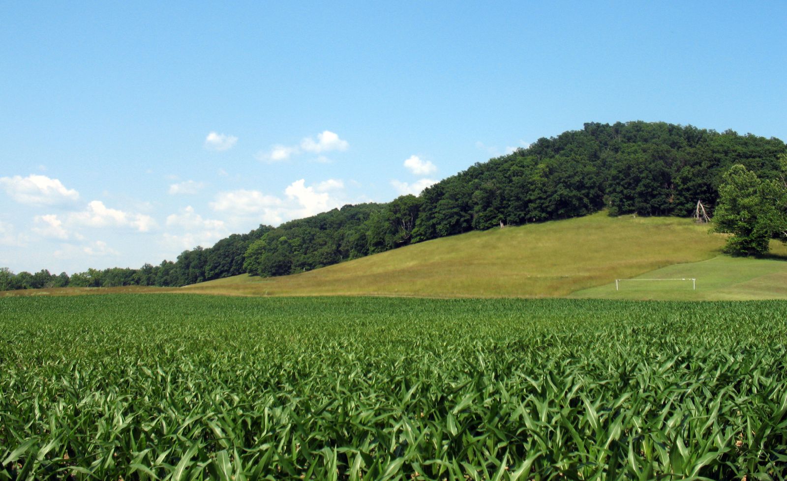
valley of the corn
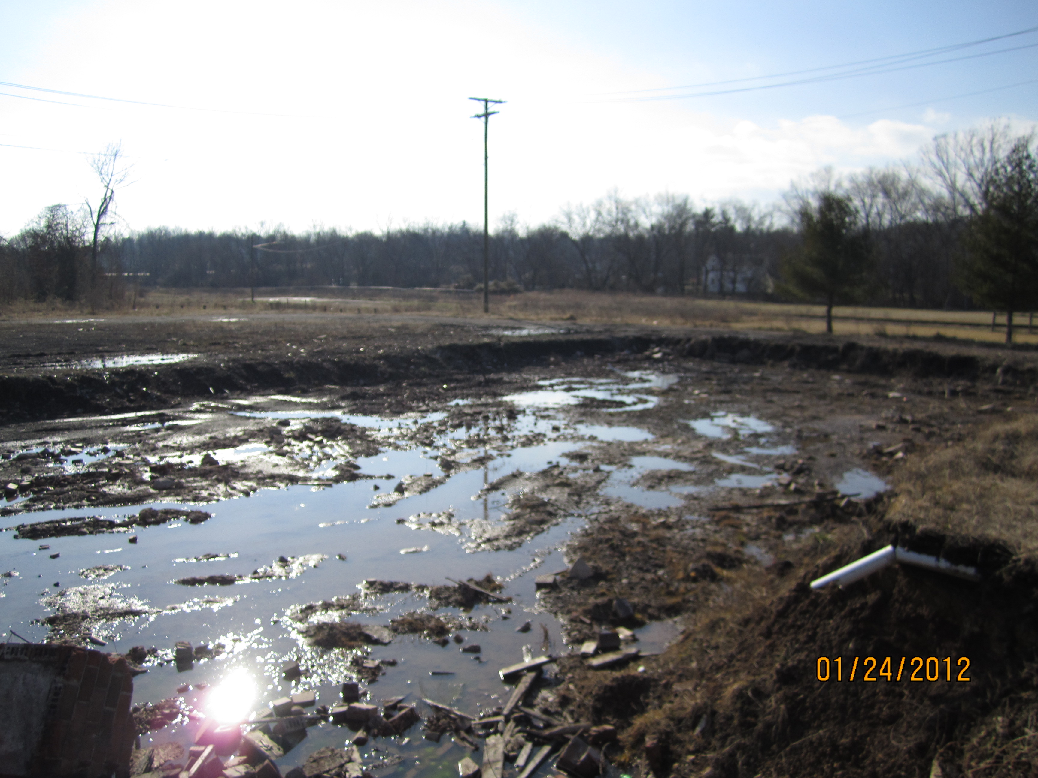
Wellston-Kuppenheimer Trouser Factory (COAF)
MPB 35-40-02, Jackson County, Ohio
Topographic Map of Ray, OH, USA
Find elevation by address:

Places in Ray, OH, USA:
Places near Ray, OH, USA:
Jackson Township
Raysville Rd, Wellston, OH, USA
36 Savageville School Rd, Ray, OH, USA
Sour Run Road
Richland
34116 Township Hwy 23a
2505 W Junction Rd
Limerick Rd, Jackson, OH, USA
Richland Township
60198 Gorrell Rd
Jefferson Township
Londonderry
484 Whiskey Run Rd
Coal Township
Cunningham Road
930 Poes Run Rd
950 Hard Scrapple Rd
640 Watson Rd
640 Watson Rd
E Main St, Jackson, OH, USA
Recent Searches:
- Elevation of Jalan Senandin, Lutong, Miri, Sarawak, Malaysia
- Elevation of Bilohirs'k
- Elevation of 30 Oak Lawn Dr, Barkhamsted, CT, USA
- Elevation of Luther Road, Luther Rd, Auburn, CA, USA
- Elevation of Unnamed Road, Respublika Severnaya Osetiya — Alaniya, Russia
- Elevation of Verkhny Fiagdon, North Ossetia–Alania Republic, Russia
- Elevation of F. Viola Hiway, San Rafael, Bulacan, Philippines
- Elevation of Herbage Dr, Gulfport, MS, USA
- Elevation of Lilac Cir, Haldimand, ON N3W 2G9, Canada
- Elevation of Harrod Branch Road, Harrod Branch Rd, Kentucky, USA