Elevation of Platte, SD, USA
Location: United States > South Dakota > Charles Mix County >
Longitude: -98.844530
Latitude: 43.3869397
Elevation: 489m / 1604feet
Barometric Pressure: 96KPa
Elevation Map:
Satellite Map:
Related Photos:
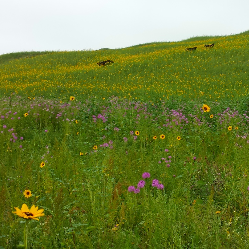
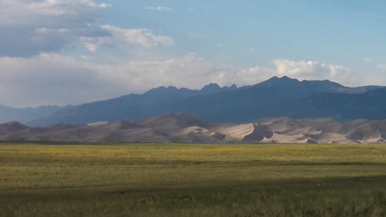
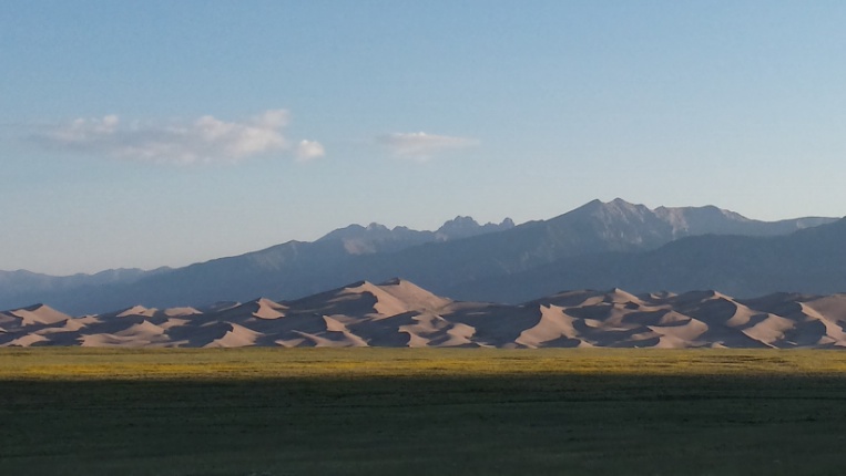
Sand Hills

2013-08-17 19.44.20
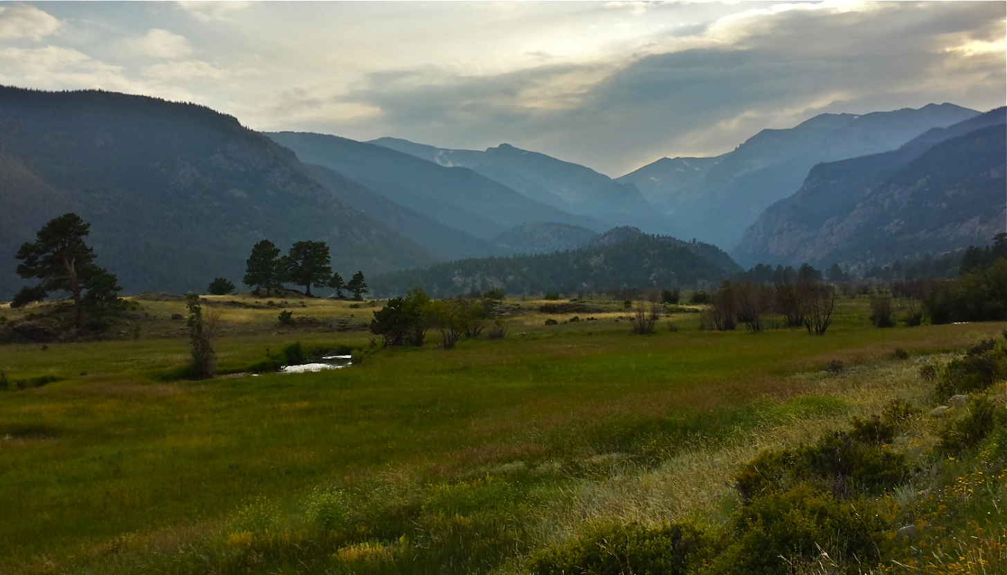
Moraine Park, RMNP
20130813_074127_Richtone(HDR)
2013-08-18 08.32.58
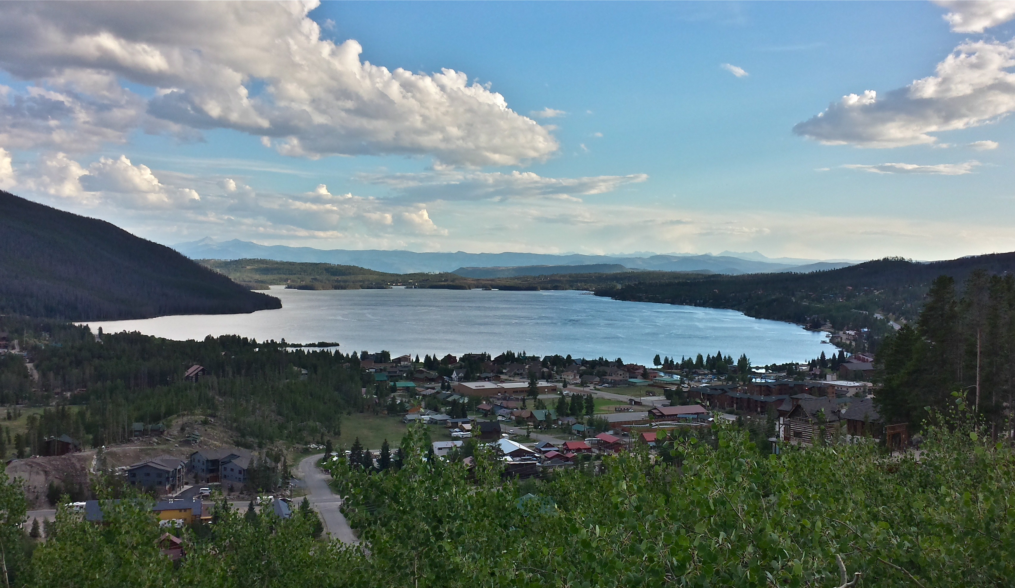
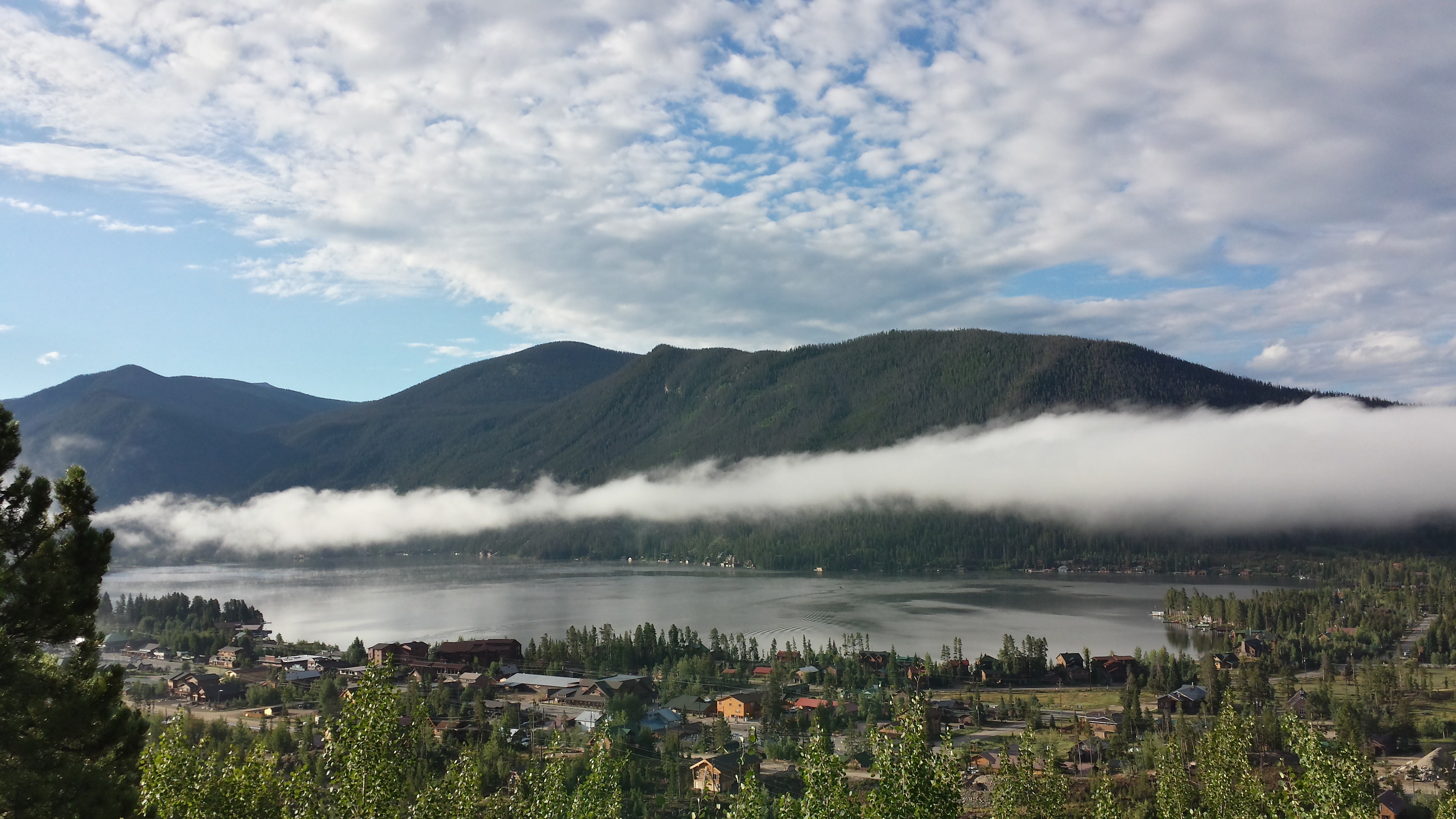
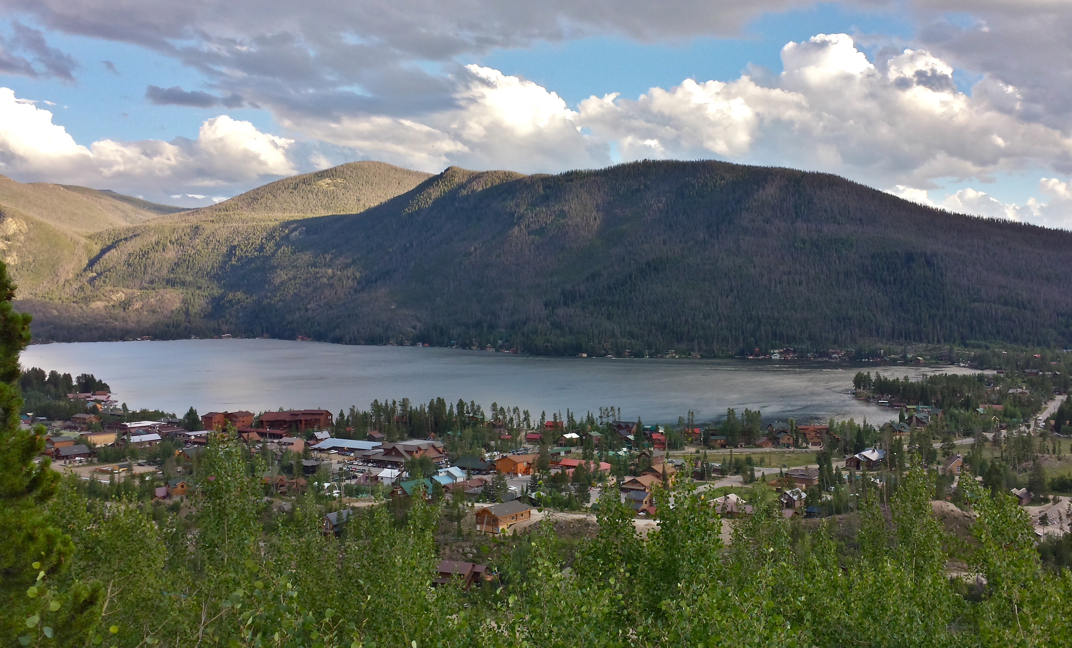
Grand Lake, Colorado
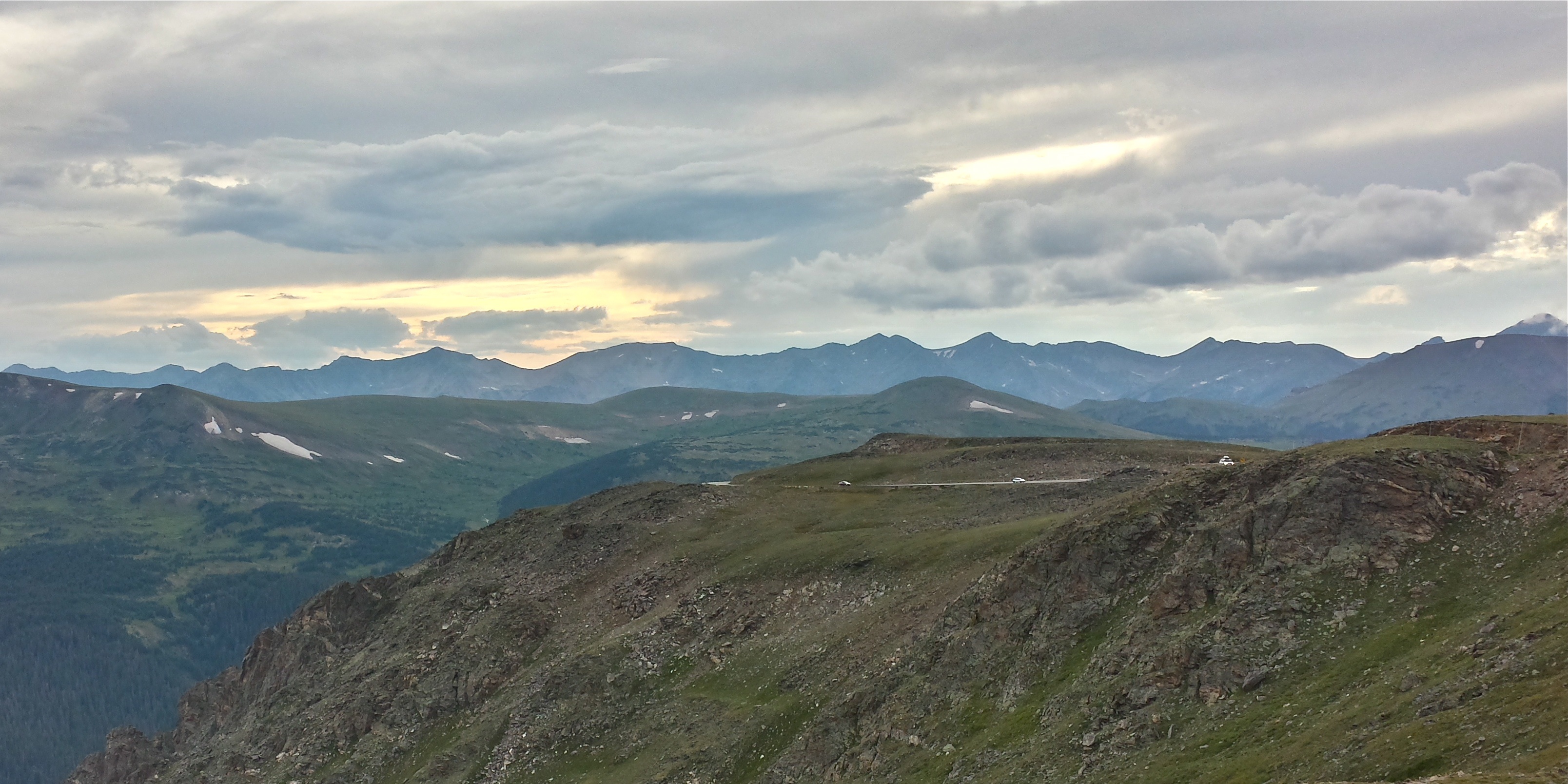
Trail Ridge Drive, RMNP
20130810_065623_Richtone(HDR)
2013-08-18 08.20.03
20130811_190232_Richtone(HDR)
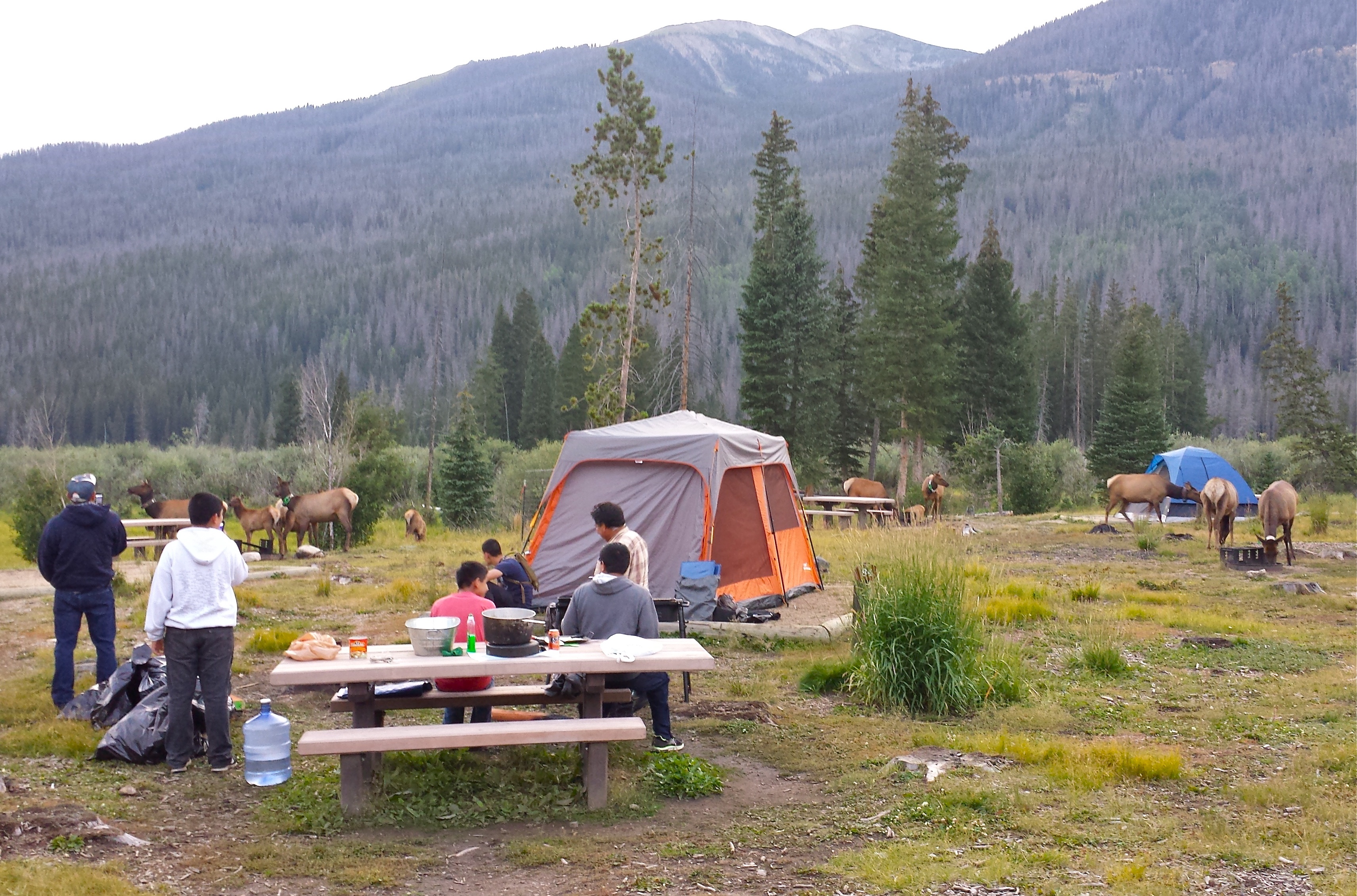
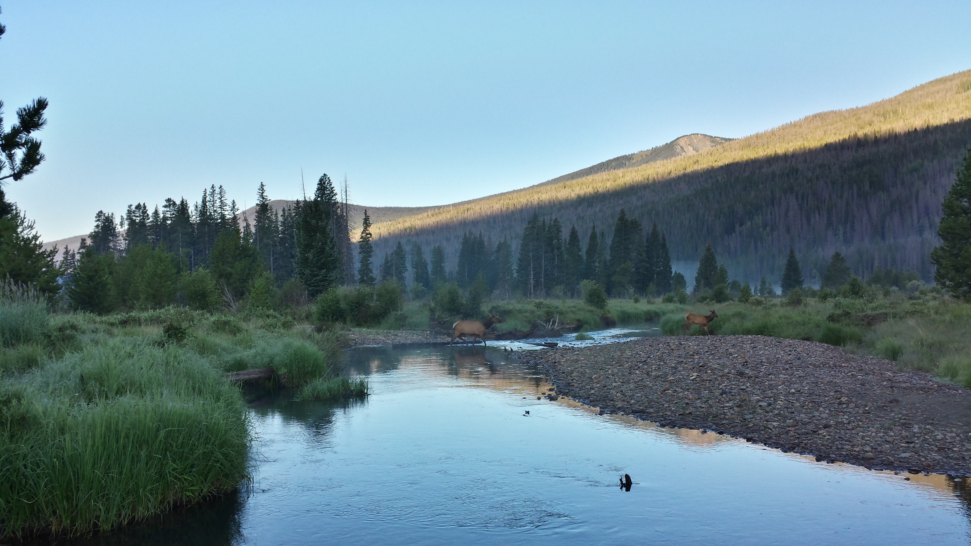
Timber Creek Campground, RMNP
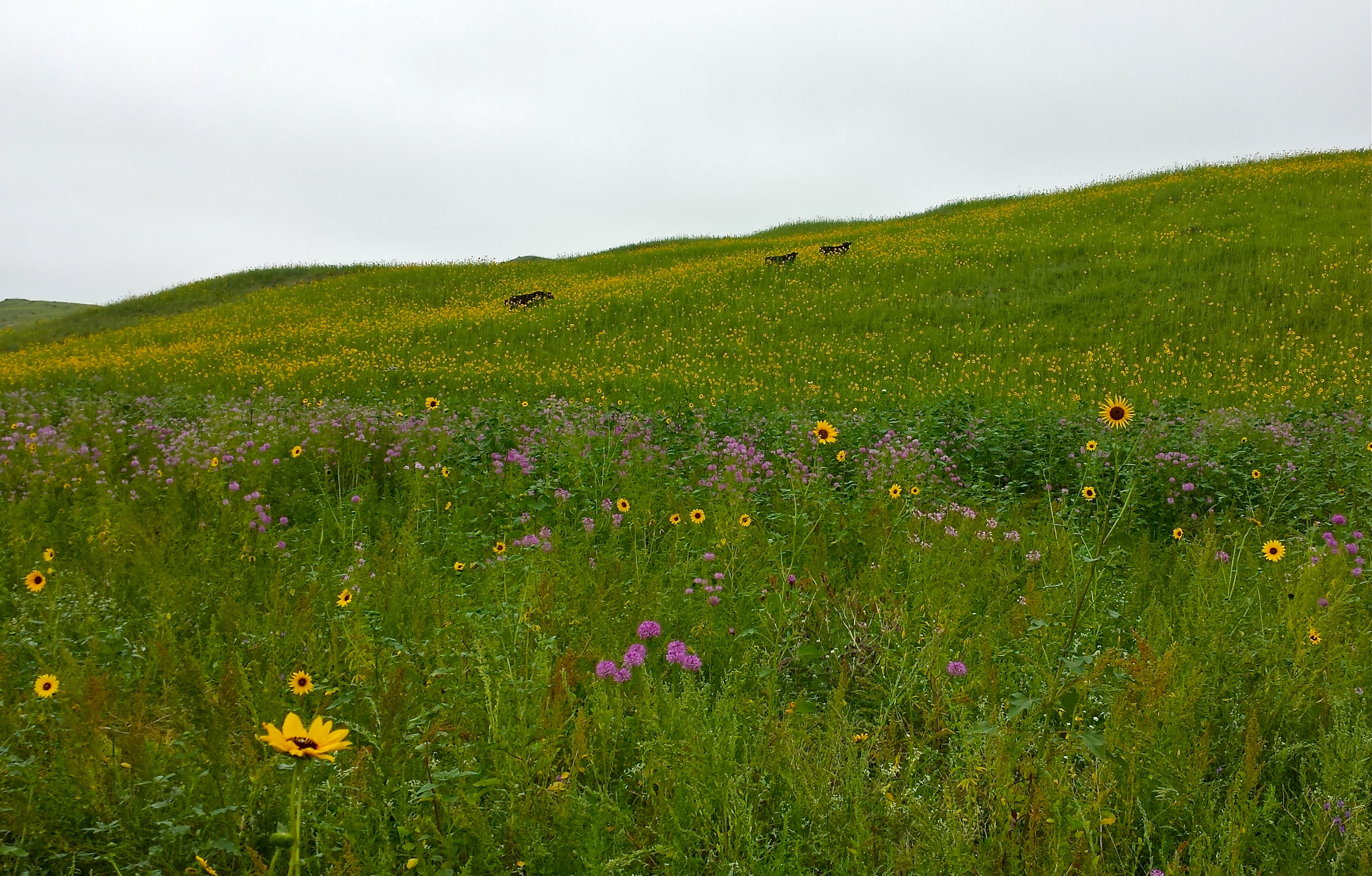
Sand Hills of Nebraska
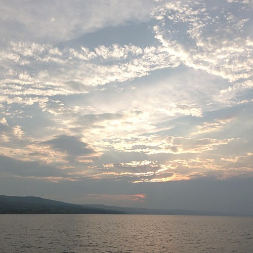
Sunset over Lake Francis Case
Topographic Map of Platte, SD, USA
Find elevation by address:

Places near Platte, SD, USA:
Signal Township
Geddes
36701 291st St
36798-36700 291st St
Gregory County
27770 Rivers Edge Pl
Lake Andes
Charles Mix County First Circuit
N 7th Ave, Lake Andes, SD, USA
North Gregory
Pickstown
James Ave, Pickstown, SD, USA
Butte
Wilson St, Butte, NE, USA
Butte
Pickstown, SD, USA
Boyd County
720 Felton Ave
Gregory
Main St, Gregory, SD, USA
Recent Searches:
- Elevation of Jadagoniai, Kaunas District Municipality, Lithuania
- Elevation of Pagonija rock, Kranto 7-oji g. 8"N, Kaunas, Lithuania
- Elevation of Co Rd 87, Jamestown, CO, USA
- Elevation of Tenjo, Cundinamarca, Colombia
- Elevation of Côte-des-Neiges, Montreal, QC H4A 3J6, Canada
- Elevation of Bobcat Dr, Helena, MT, USA
- Elevation of Zu den Ihlowbergen, Althüttendorf, Germany
- Elevation of Badaber, Peshawar, Khyber Pakhtunkhwa, Pakistan
- Elevation of SE Heron Loop, Lincoln City, OR, USA
- Elevation of Slanický ostrov, 01 Námestovo, Slovakia