Elevation of Pickstown, SD, USA
Location: United States > South Dakota > Charles Mix County > Pickstown >
Longitude: -98.533652
Latitude: 43.0256579
Elevation: 399m / 1309feet
Barometric Pressure: 97KPa
Elevation Map:
Satellite Map:
Related Photos:
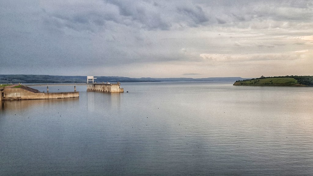
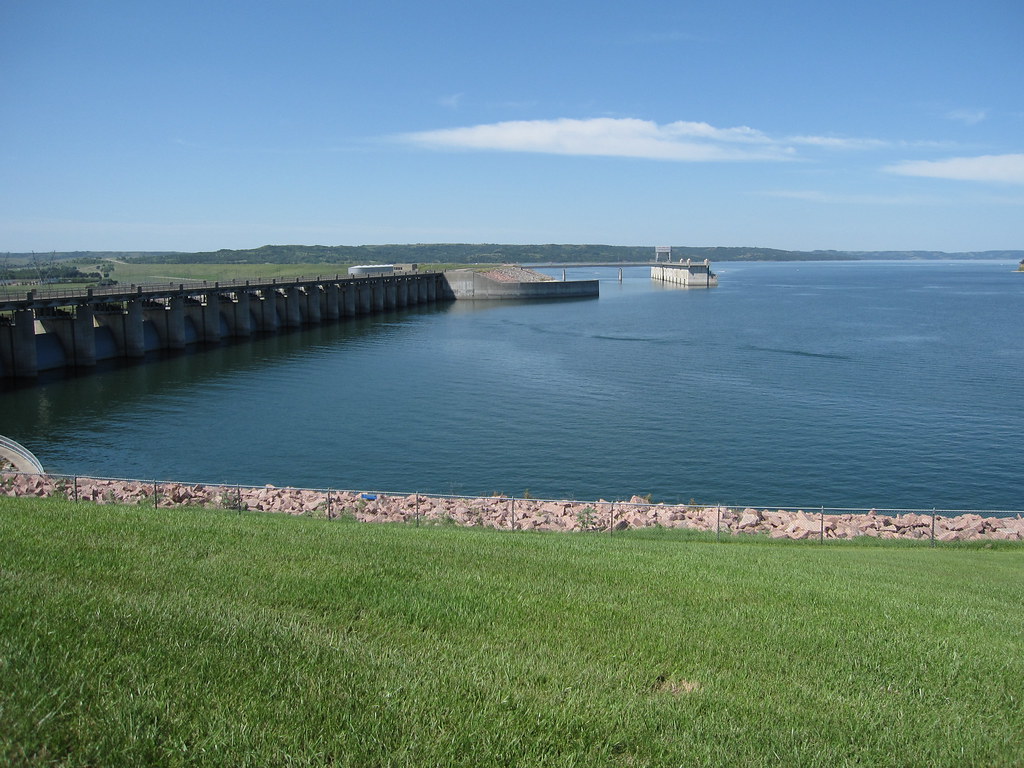
Panorama view below Ft. Randall Dam
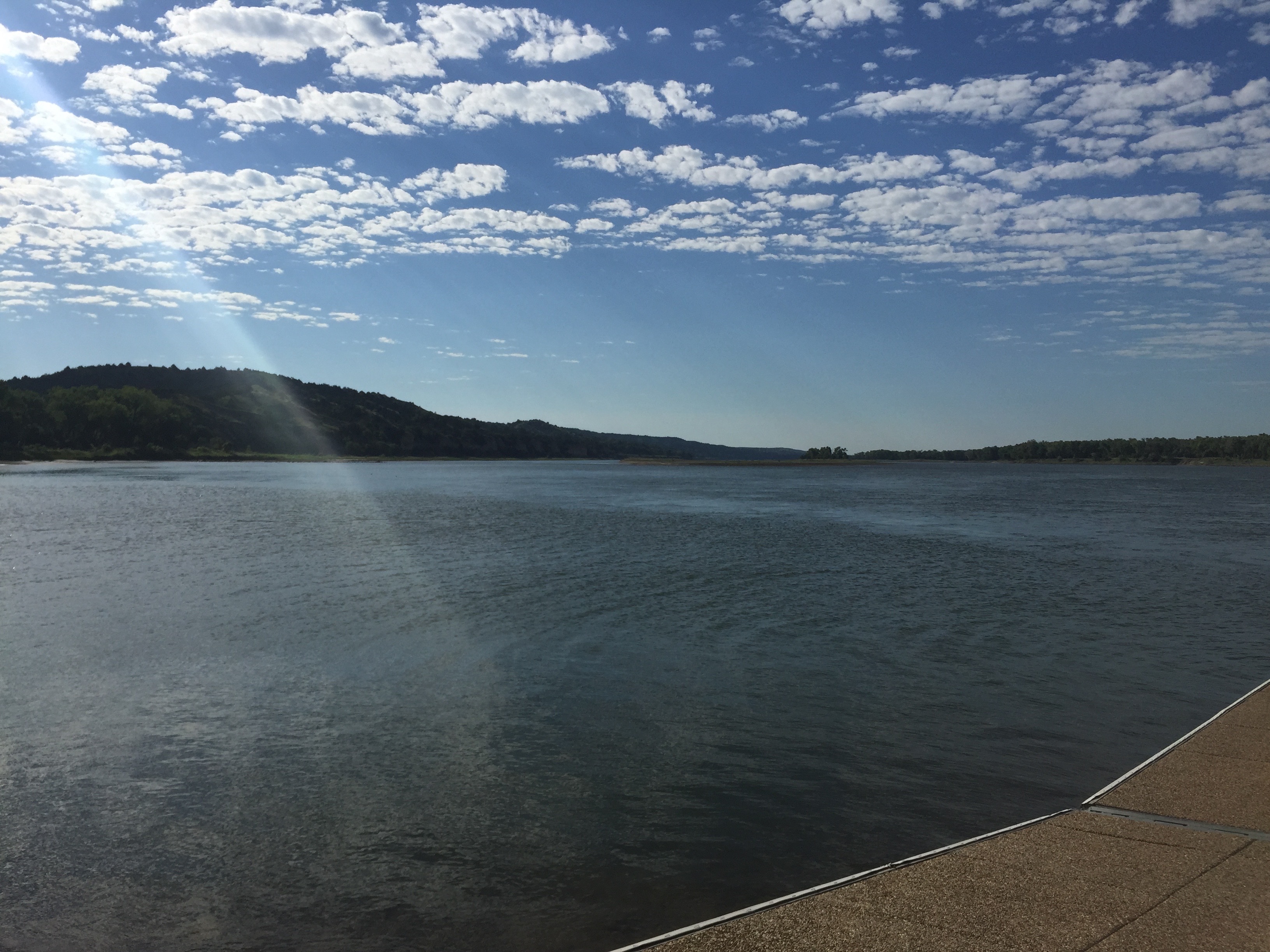
Panorama view from Ft. Randall Dam of Lake Francis Case
Gross, Nebraska

Gross, Nebraska
Gross, Nebraska
20180704_093423-01

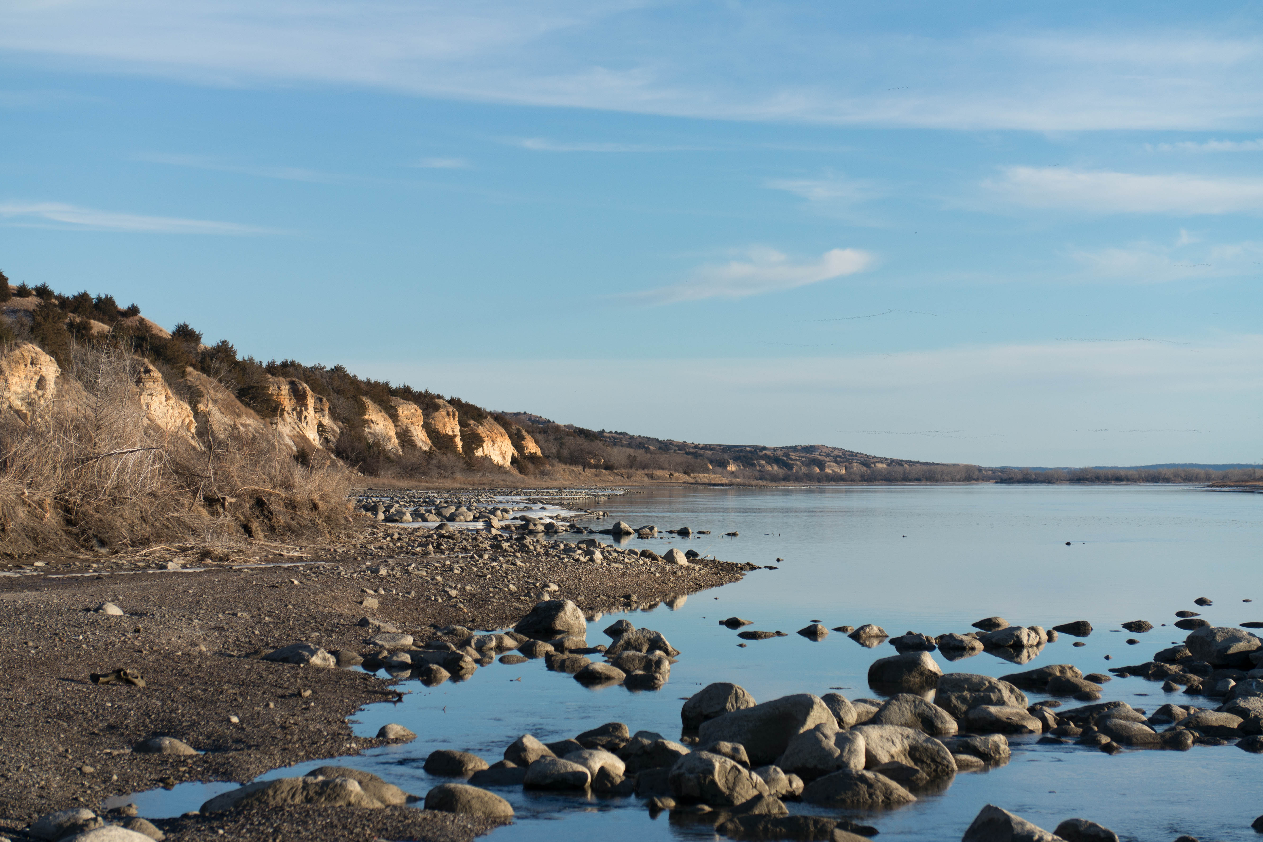
Last Ice on the Missouri
20180704_092216-01

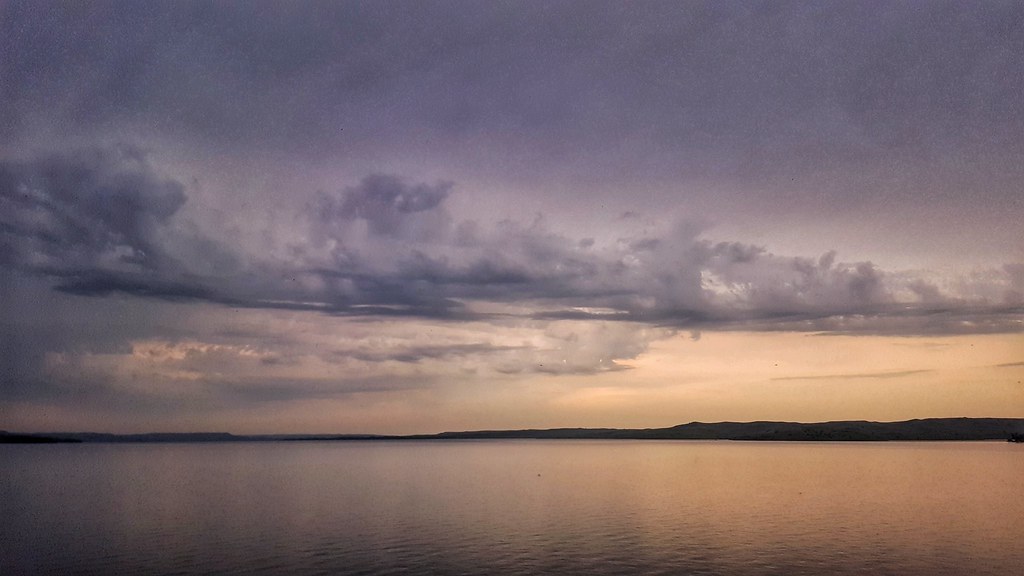
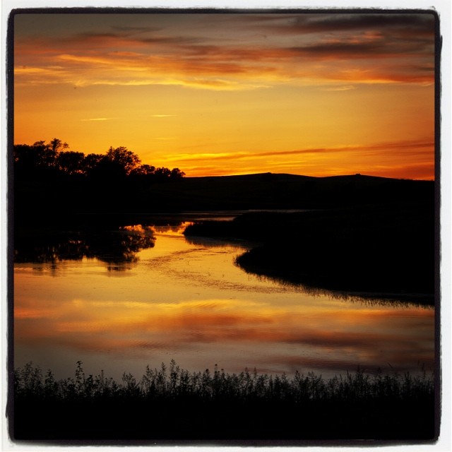
Francis Case Sunset
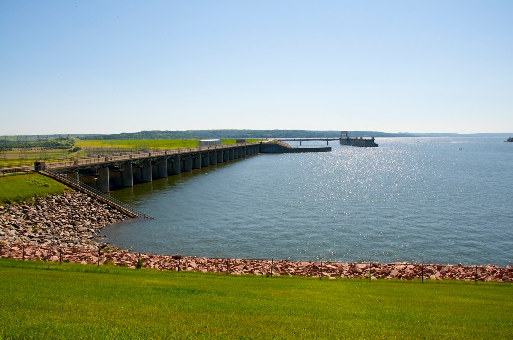
Fort Randall Dam
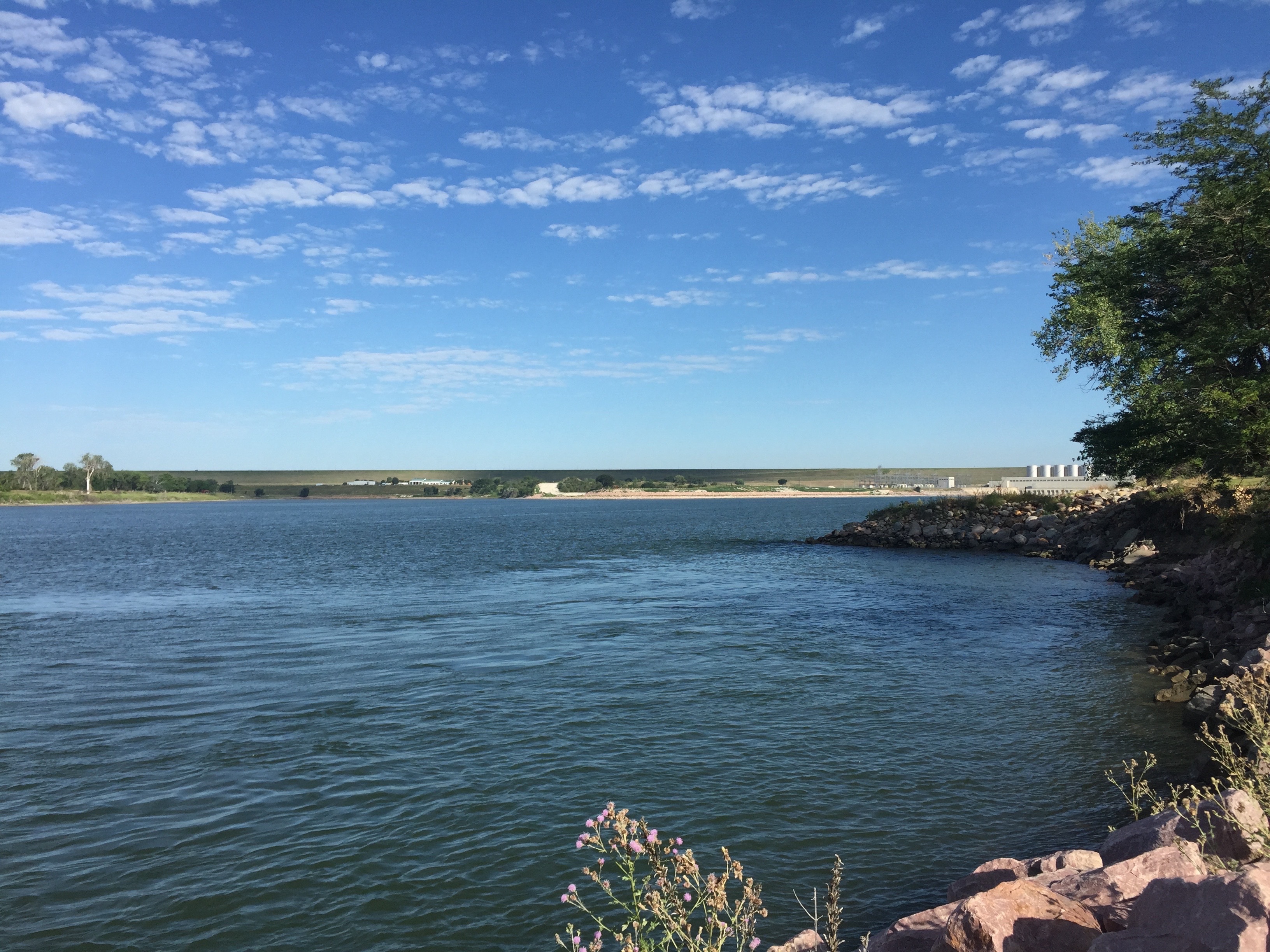
Missouri River below Ft. Randall Dam
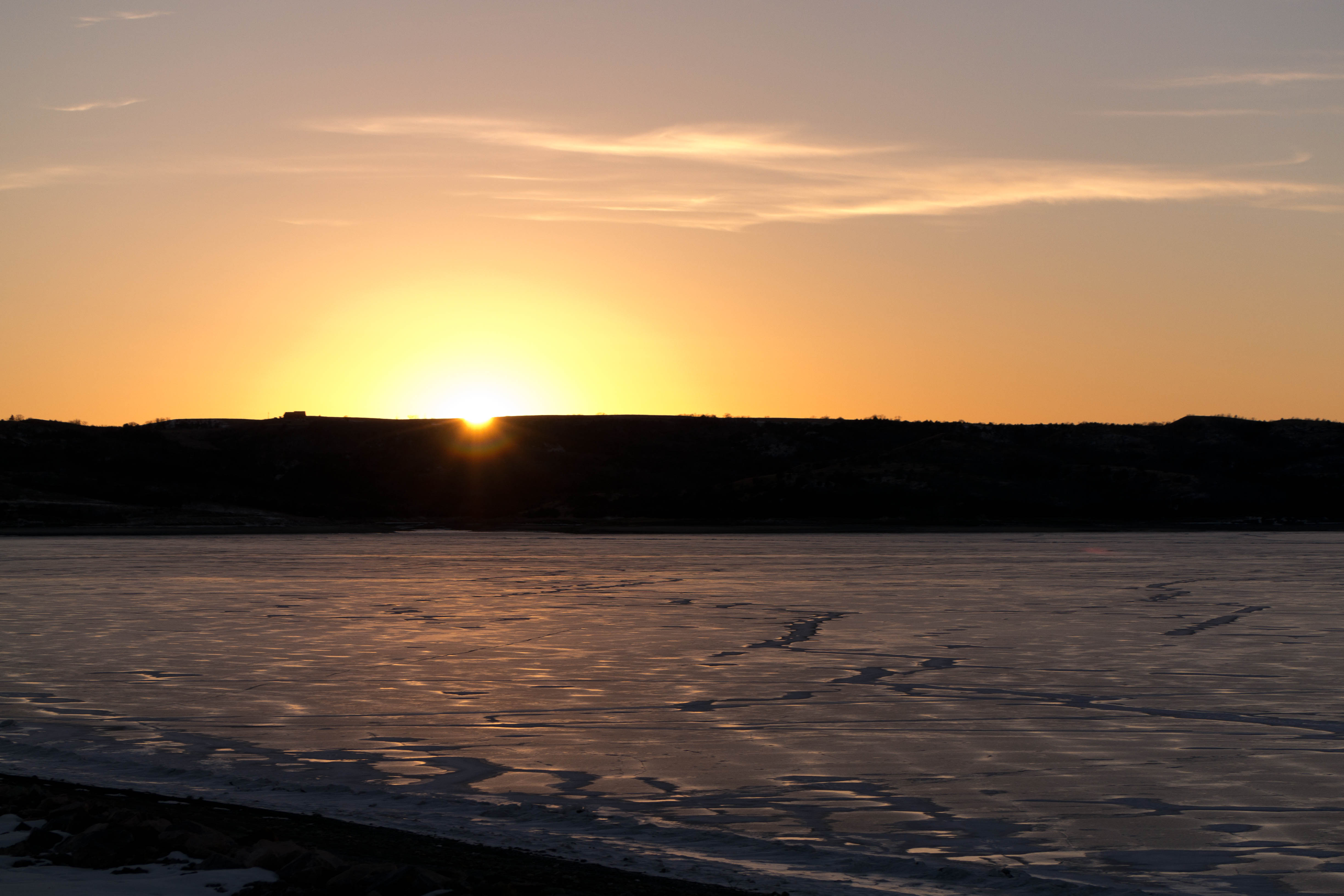
Sunset on Lake Francis Case
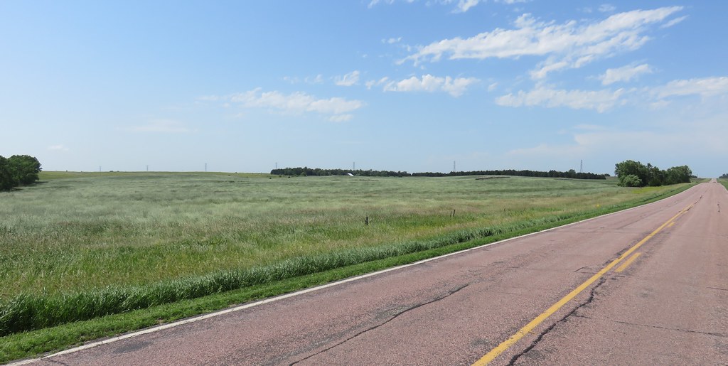
Southern South Dakota Landscape (Marty, South Dakota)
150724-01 (2015-07-24) - 0008
150724-01 (2015-07-24) - 0006
Sunset near Gross NE. #beauty #sunset #worldwide_shots #whereintheworldisdean #picoftheday #inspire #instafun #instacool #explorewithdean #travel #adventure #allshots_ #america #ruralamerica #fun #followme #hope #love #life #cool #beautiful #nebraska @sue
img_2193.jpg
Topographic Map of Pickstown, SD, USA
Find elevation by address:

Places near Pickstown, SD, USA:
James Ave, Pickstown, SD, USA
Pickstown
Charles Mix County First Circuit
Lake Andes
N 7th Ave, Lake Andes, SD, USA
Boyd County
Geddes
Butte
Wilson St, Butte, NE, USA
36798-36700 291st St
Butte
36701 291st St
Signal Township
Platte
O'neill
49352 Hwy 20
Gregory County
Grattan
Holt County
27770 Rivers Edge Pl
Recent Searches:
- Elevation of Shibuya Scramble Crossing, 21 Udagawacho, Shibuya City, Tokyo -, Japan
- Elevation of Jadagoniai, Kaunas District Municipality, Lithuania
- Elevation of Pagonija rock, Kranto 7-oji g. 8"N, Kaunas, Lithuania
- Elevation of Co Rd 87, Jamestown, CO, USA
- Elevation of Tenjo, Cundinamarca, Colombia
- Elevation of Côte-des-Neiges, Montreal, QC H4A 3J6, Canada
- Elevation of Bobcat Dr, Helena, MT, USA
- Elevation of Zu den Ihlowbergen, Althüttendorf, Germany
- Elevation of Badaber, Peshawar, Khyber Pakhtunkhwa, Pakistan
- Elevation of SE Heron Loop, Lincoln City, OR, USA