Elevation of Main St, Gregory, SD, USA
Location: United States > South Dakota > Gregory County > Gregory >
Longitude: -99.430700
Latitude: 43.2325156
Elevation: 661m / 2169feet
Barometric Pressure: 94KPa
Elevation Map:
Satellite Map:
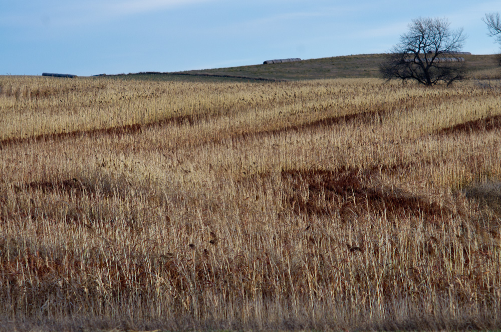
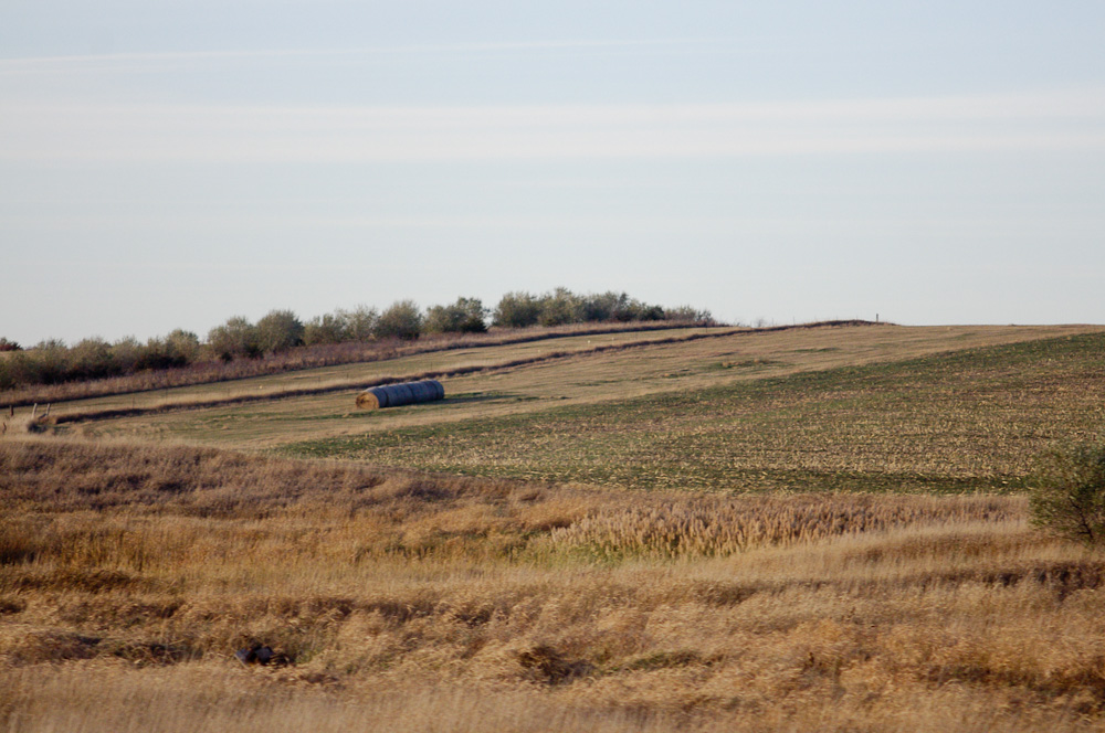
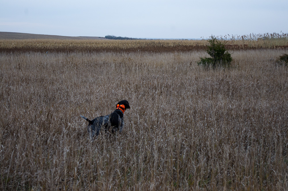
Related Photos:

20101031-IMGP1419.jpg

20101028-IMGP1142.jpg
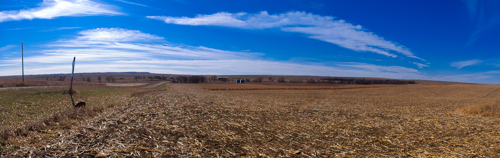
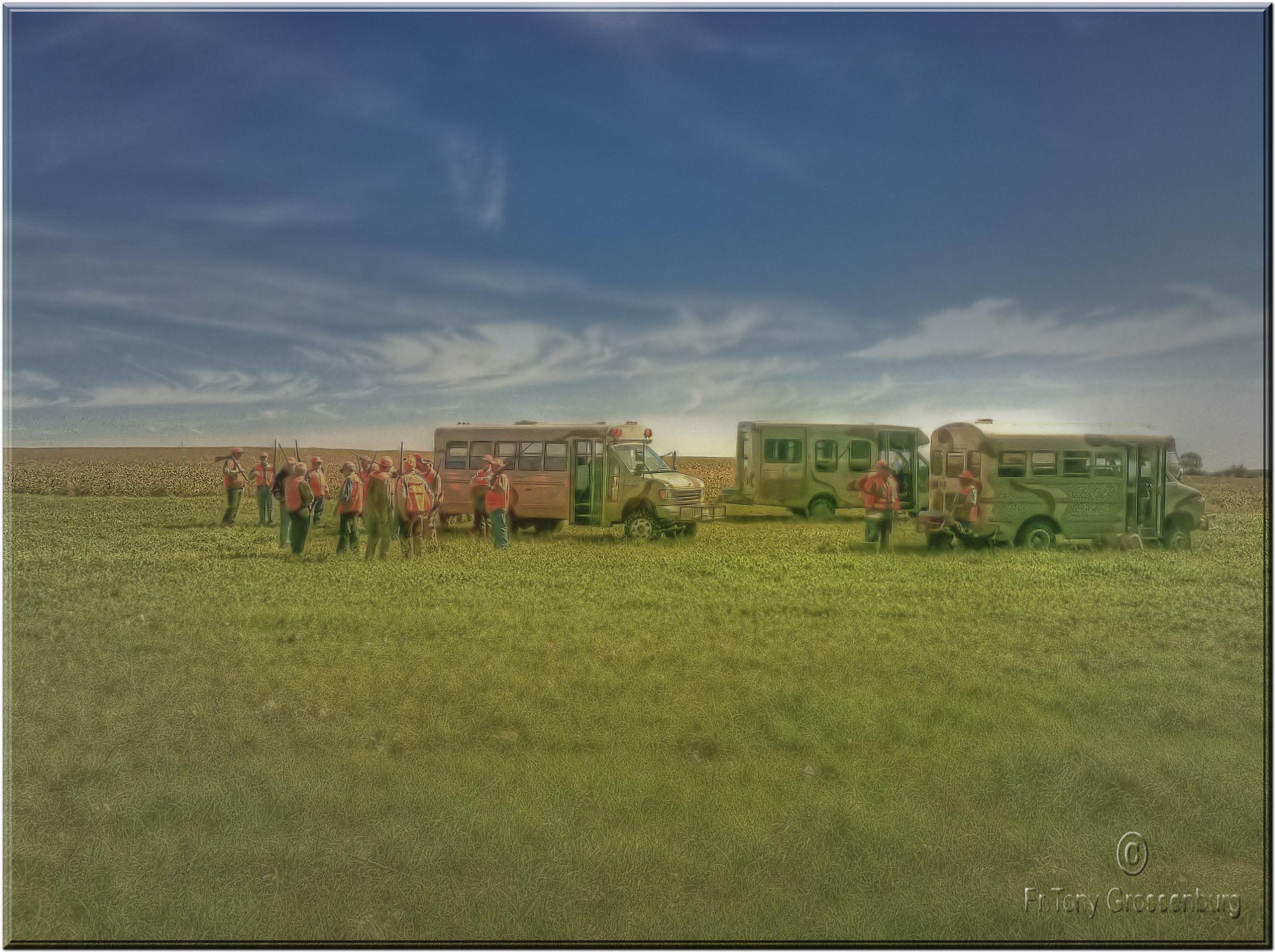
pano.jpg
20101031-IMGP1417.jpg
20101028-IMGP1166.jpg

20101031-IMGP1416.jpg

20101030-IMGP1371.jpg
20101028-IMGP1148.jpg
20101031-IMGP1422.jpg

20101028-IMGP1151.jpg
20101028-IMGP1155.jpg

20101031-IMGP1415.jpg

20101031-IMGP1413.jpg
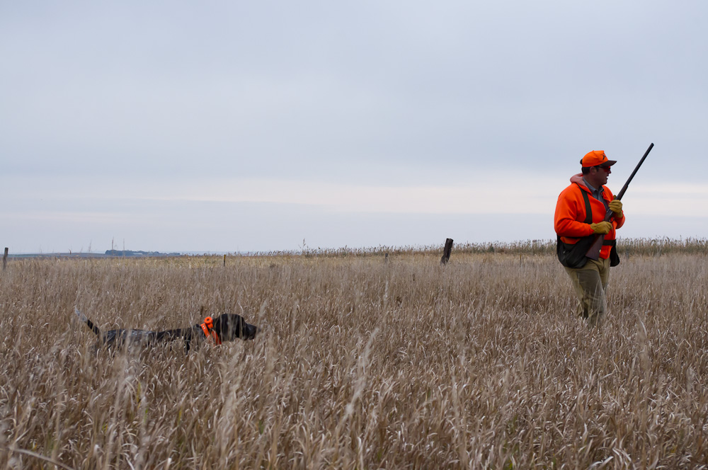
getting ready to hunt
20101029-IMGP1299.jpg

20101028-IMGP1152.jpg
20101029-IMGP1298.jpg
20101028-IMGP1158.jpg

20101031-IMGP1420.jpg
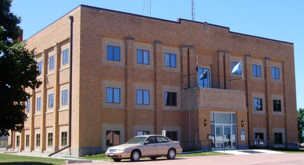
Gregory County Courthouse (Burke, South Dakota)
20101031-IMGP1412.jpg
Topographic Map of Main St, Gregory, SD, USA
Find elevation by address:

Places near Main St, Gregory, SD, USA:
Gregory
720 Felton Ave
Dallas
32951 290th St
32949 292nd St
32949 292nd St
Elliston Township
Dixon Township
North Gregory
33376 Buffalo Butte Rd
27770 Rivers Edge Pl
Colome
409 Main St
Main St, Colome, SD, USA
Stewart Township
Colome High School
408 W 6th St
Tripp County
28954 321st Ave
28346 321st Ave
Recent Searches:
- Elevation of Steadfast Ct, Daphne, AL, USA
- Elevation of Lagasgasan, X+CQH, Tiaong, Quezon, Philippines
- Elevation of Rojo Ct, Atascadero, CA, USA
- Elevation of Flagstaff Drive, Flagstaff Dr, North Carolina, USA
- Elevation of Avery Ln, Lakeland, FL, USA
- Elevation of Woolwine, VA, USA
- Elevation of Lumagwas Diversified Farmers Multi-Purpose Cooperative, Lumagwas, Adtuyon, RV32+MH7, Pangantucan, Bukidnon, Philippines
- Elevation of Homestead Ridge, New Braunfels, TX, USA
- Elevation of Orchard Road, Orchard Rd, Marlborough, NY, USA
- Elevation of 12 Hutchinson Woods Dr, Fletcher, NC, USA