Elevation of Pioneer Ridge, Montana, USA
Location: United States > Montana > Flathead County > Kalispell >
Longitude: -113.90083
Latitude: 48.2013888
Elevation: 1994m / 6542feet
Barometric Pressure: 80KPa
Elevation Map:
Satellite Map:
Related Photos:
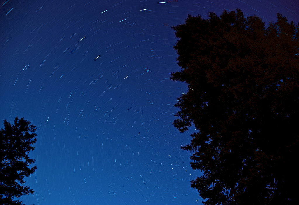
Montana Star Trails

Peter's Ridge
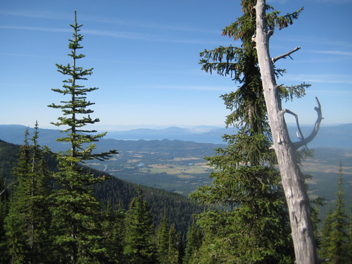
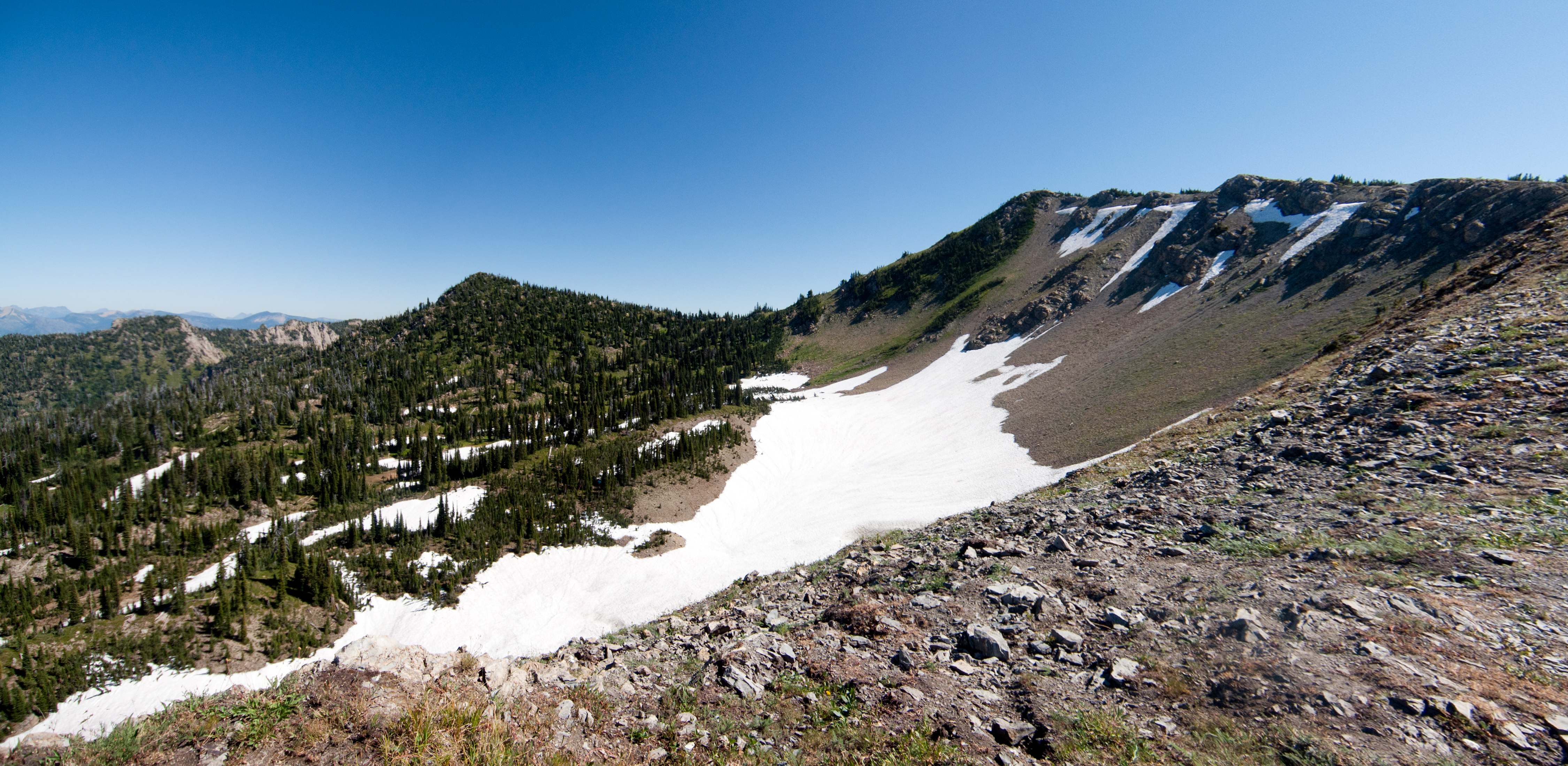
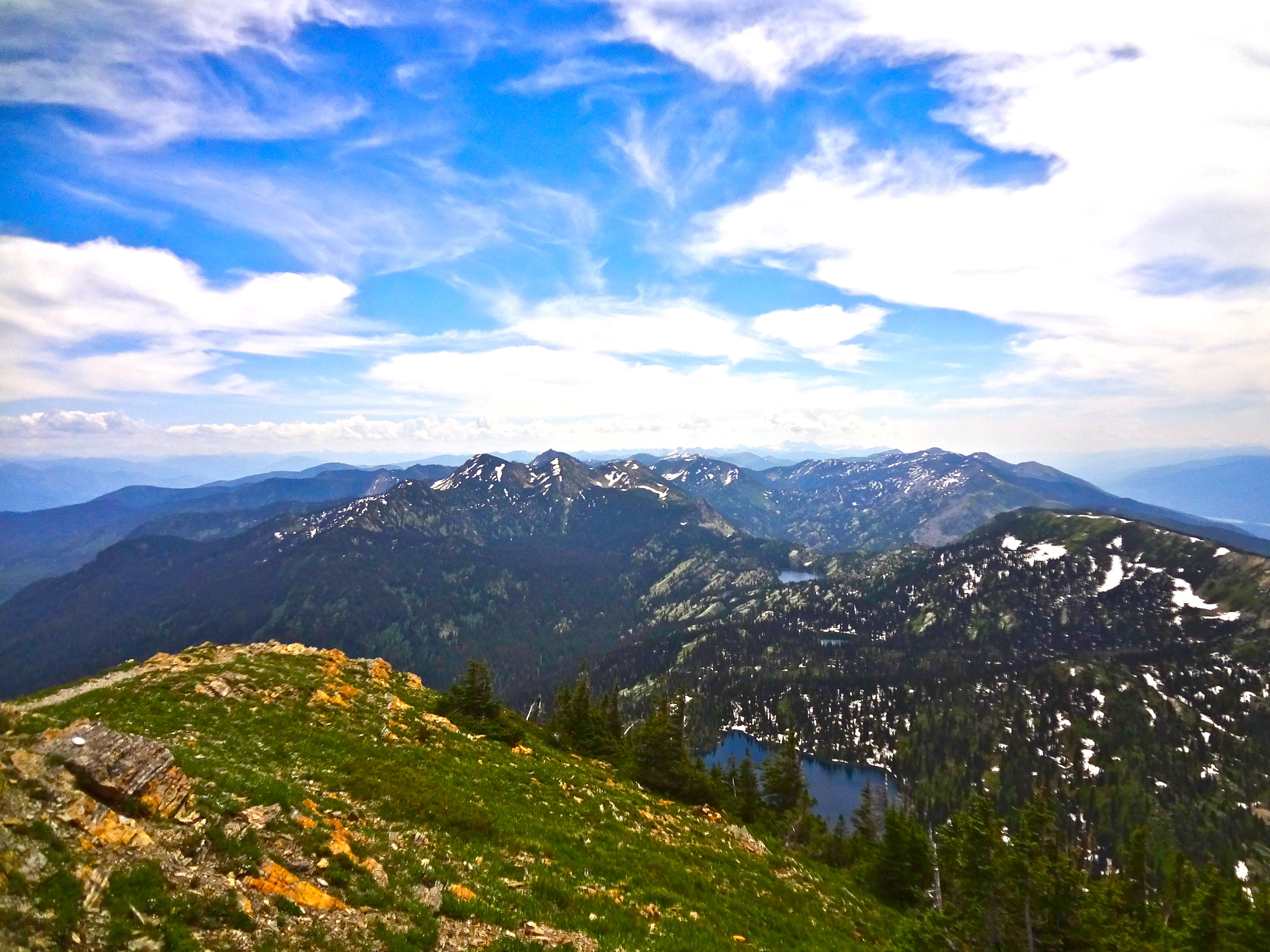
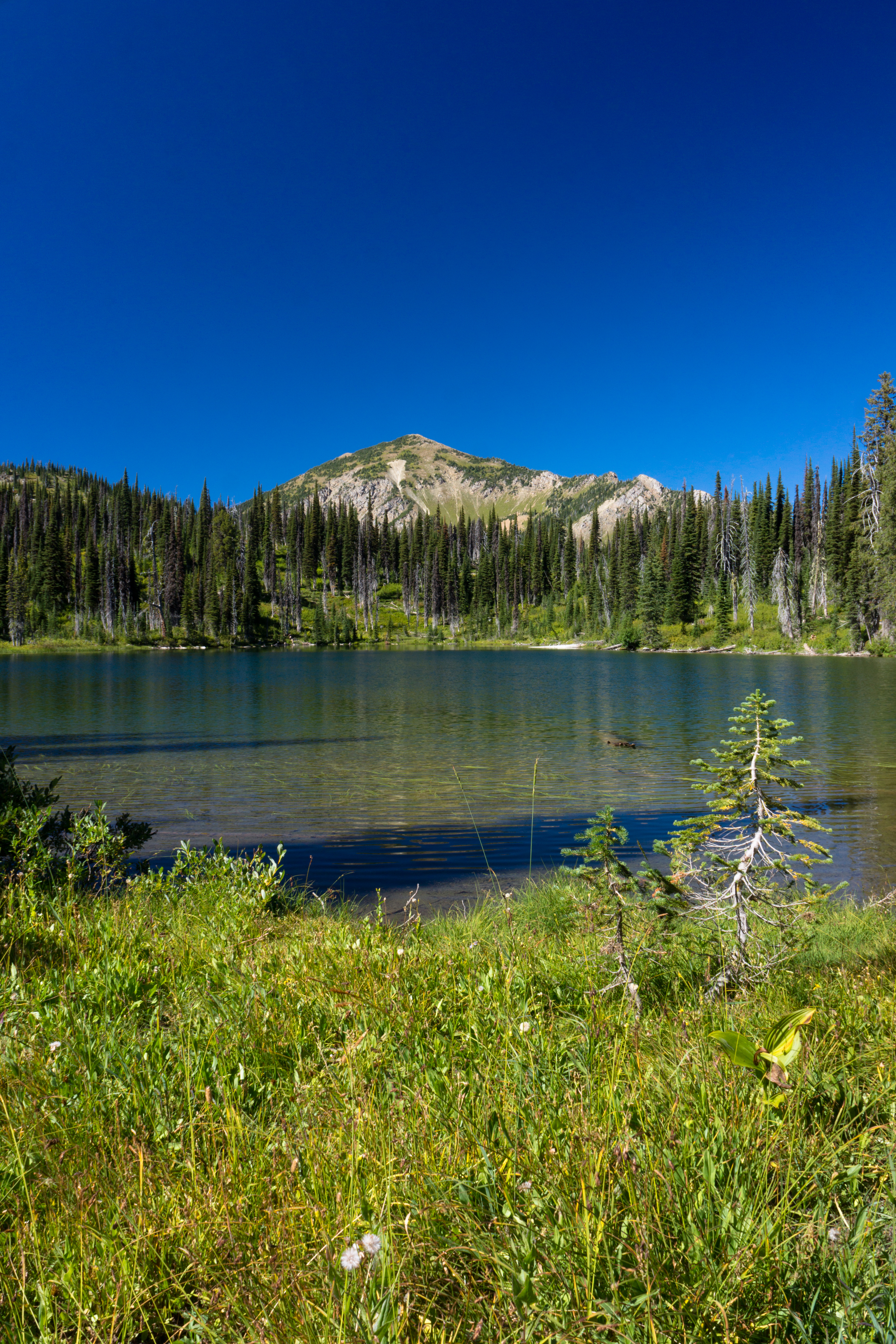
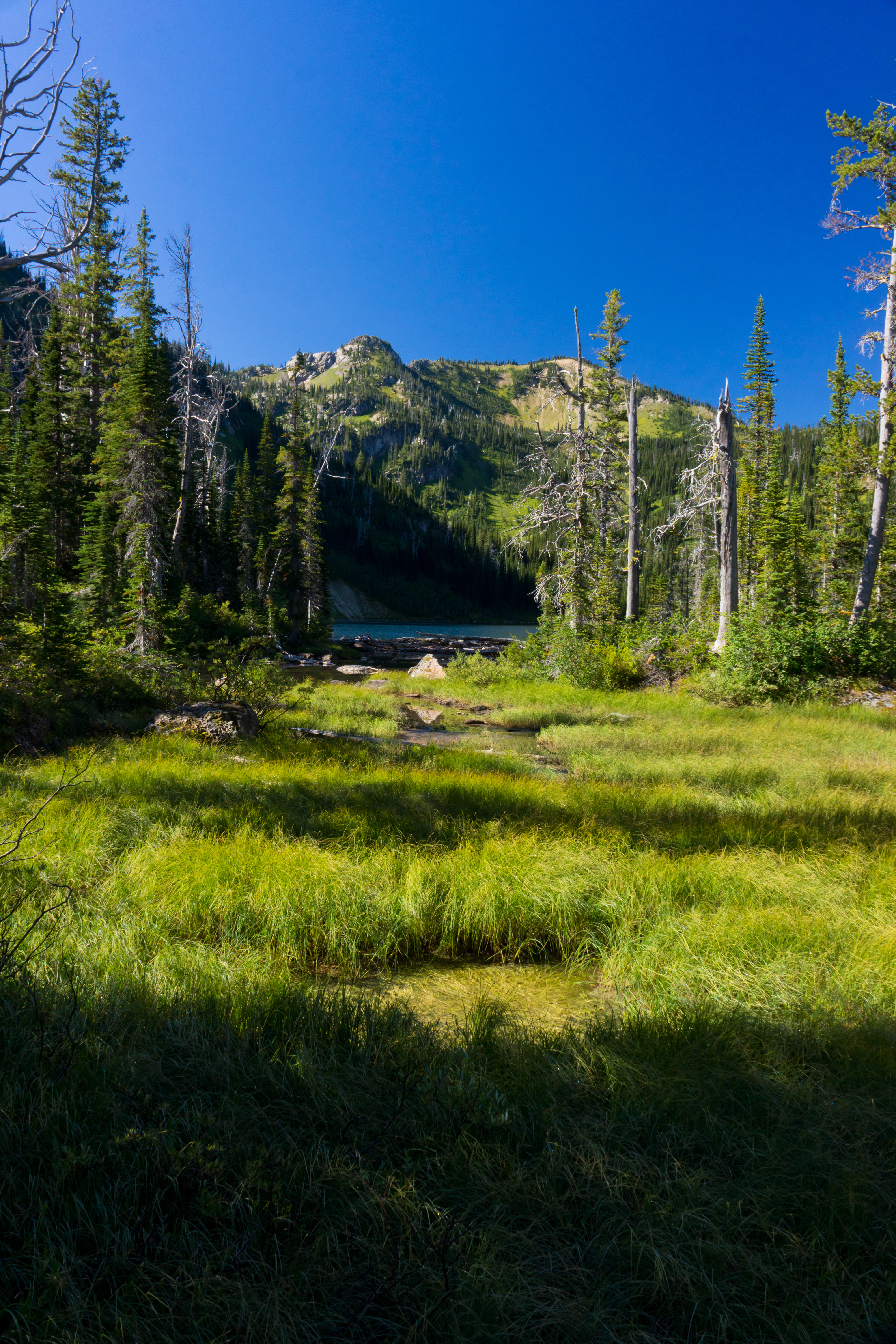
The View
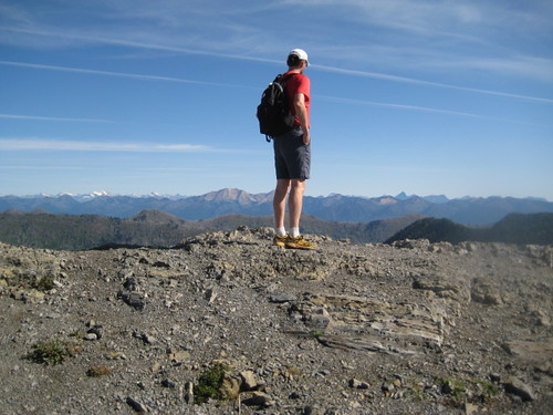
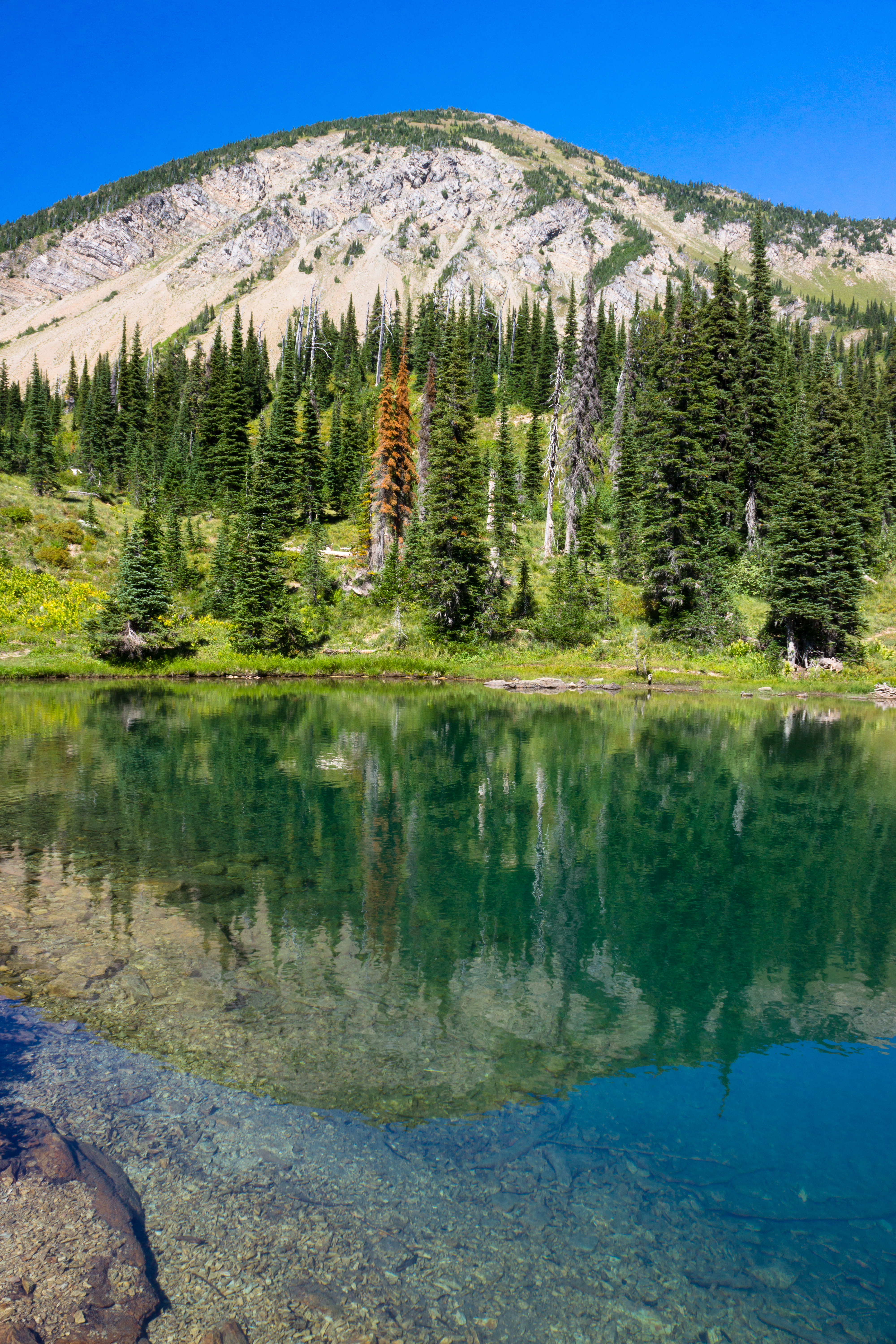
At the top
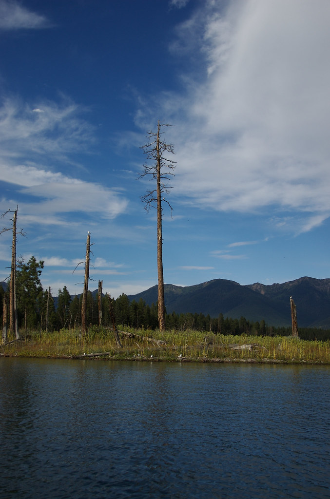
The Dead Pine
Mount Aeneas, in the Jewel Basin Hiking Area, in the Swan Mountains, near Bigfork, Montana
Picnic Lakes, in the Jewel Basin Hiking Area, in the Swan Mountains, near Bigfork, Montana
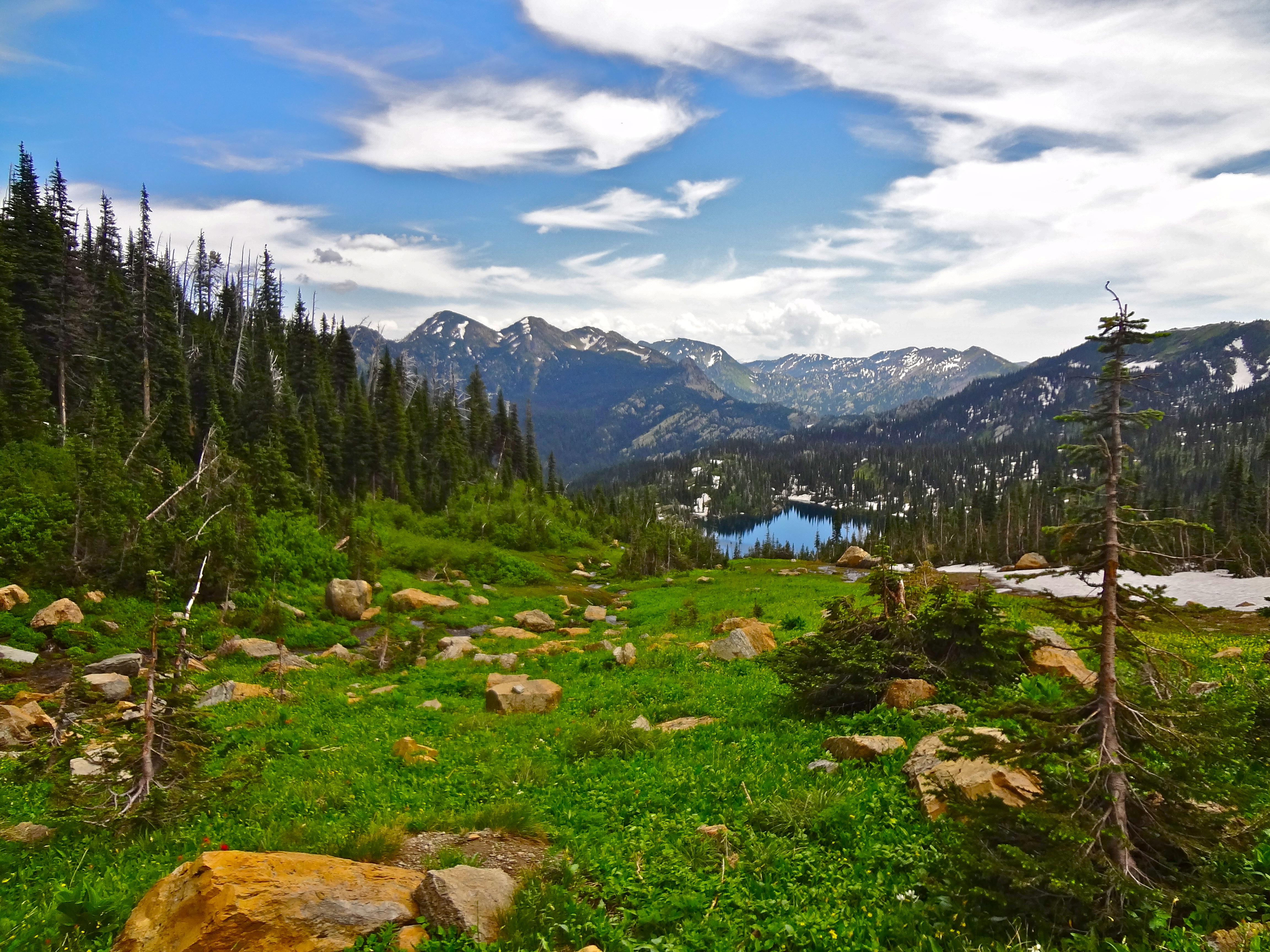
Jewel Basin Hiking Area, in the Swan Mountains, near Bigfork, Montana

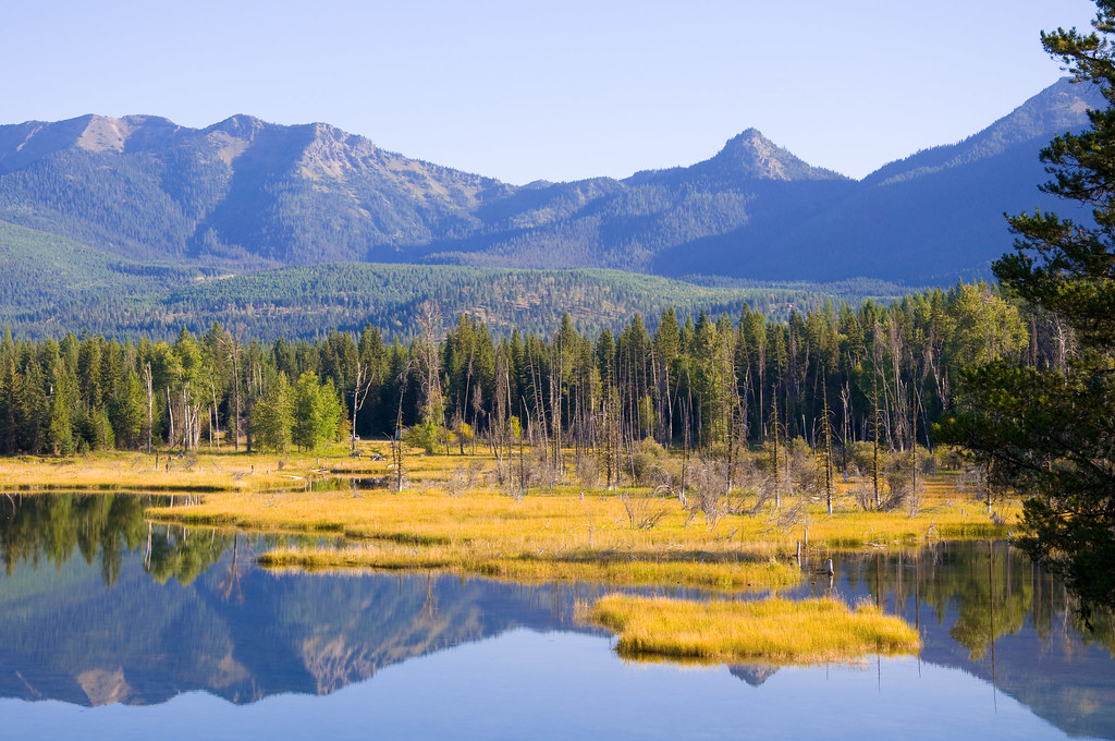
fall colors in the flathead valley.
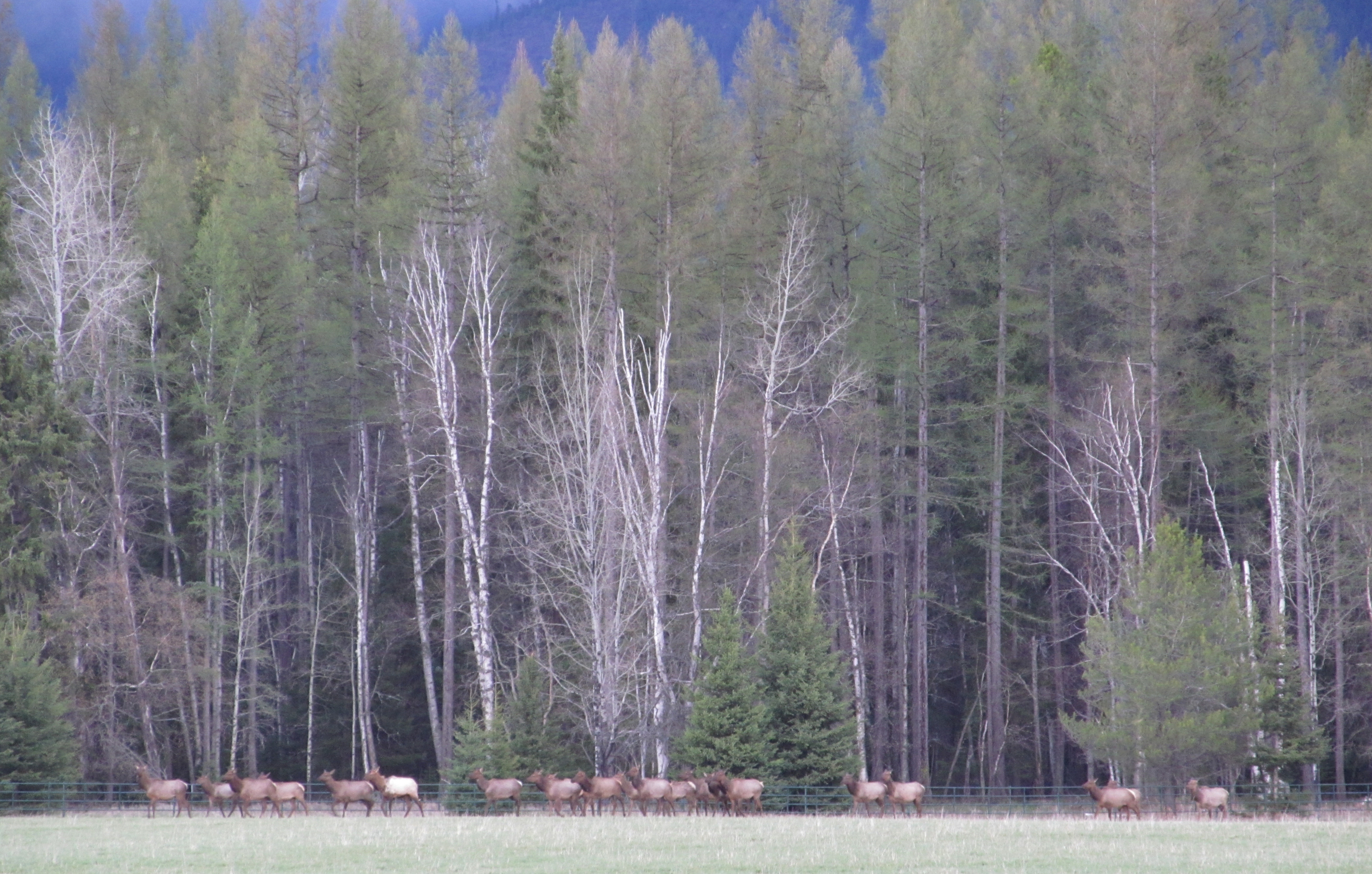
elk at the edge
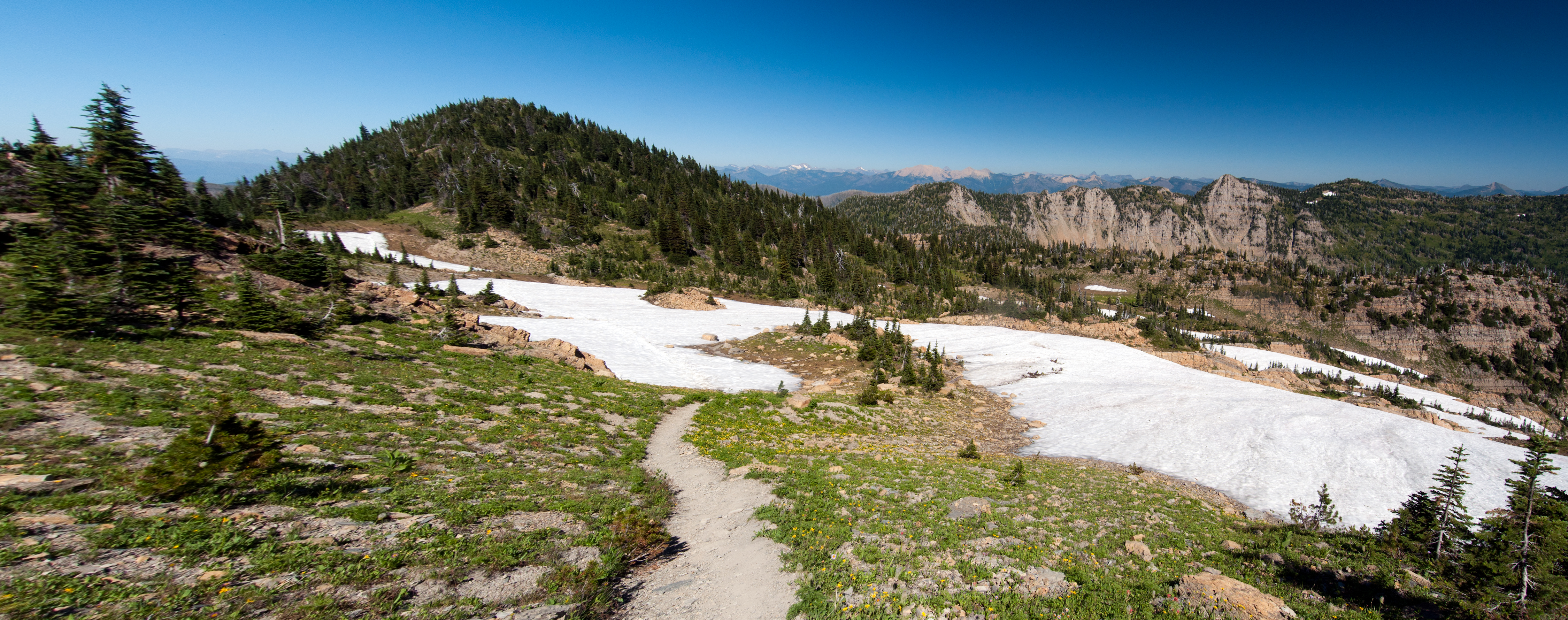
Jewel Basin Montana
Jewel Basin Montana

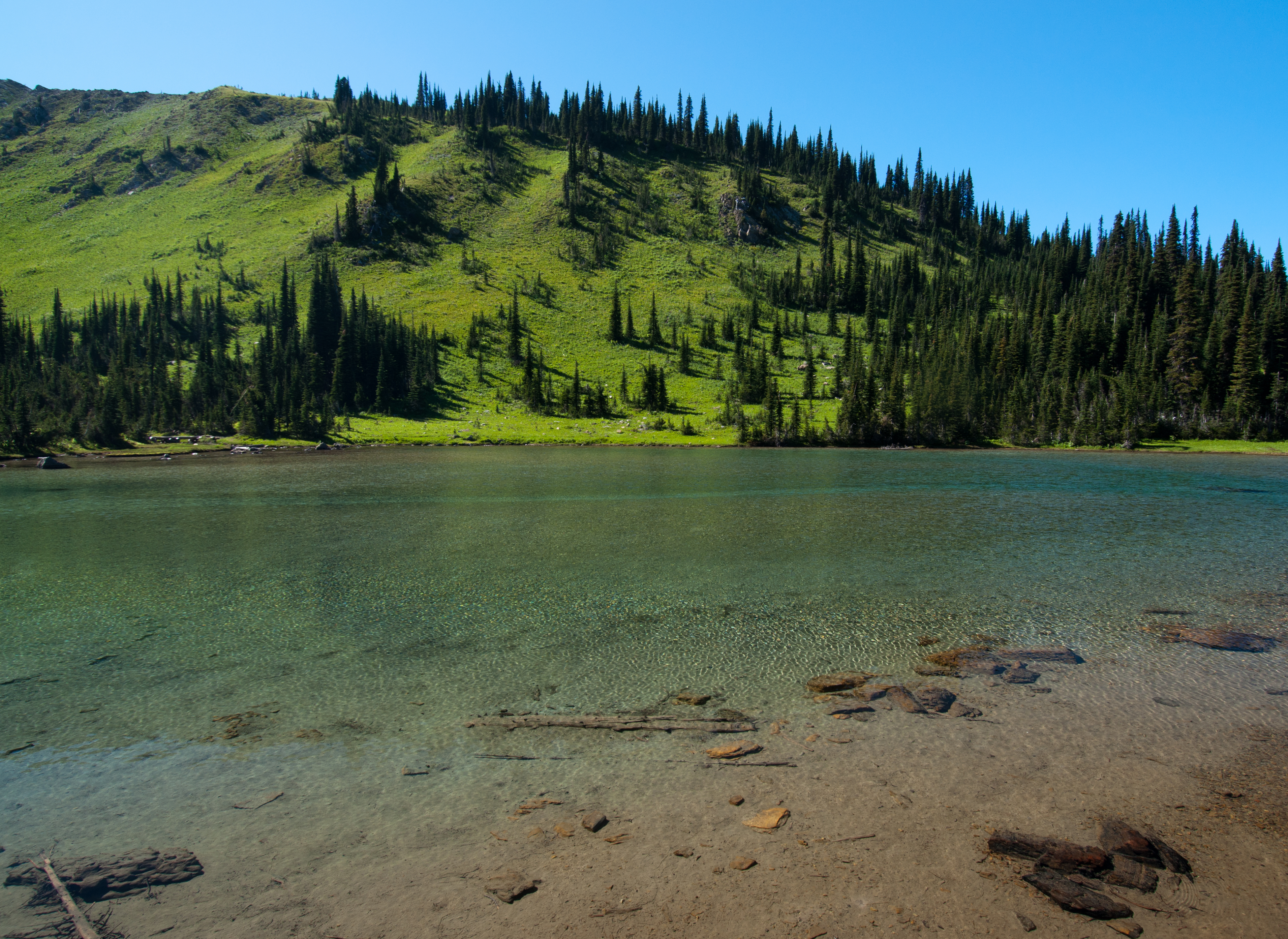
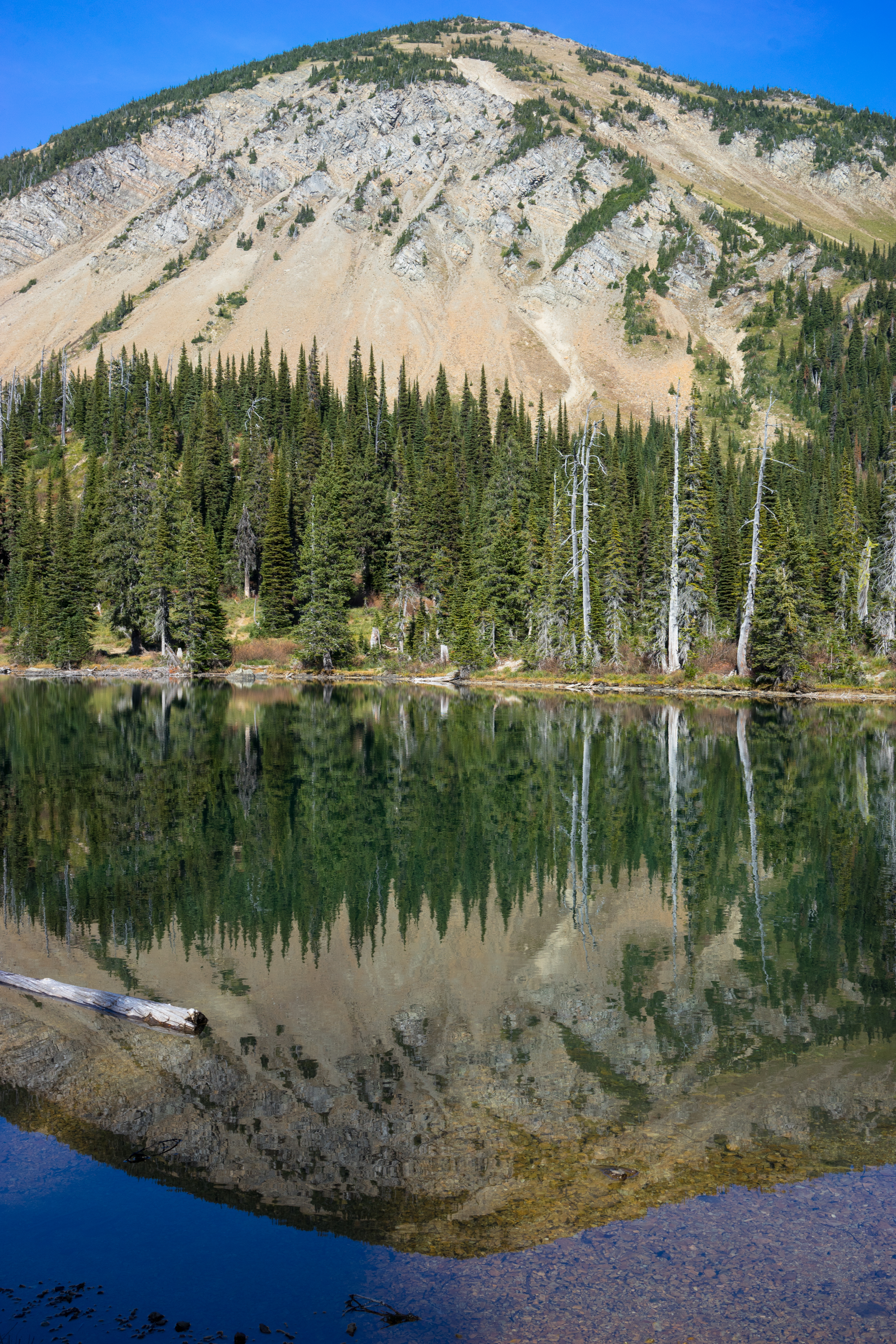
Birch Lake
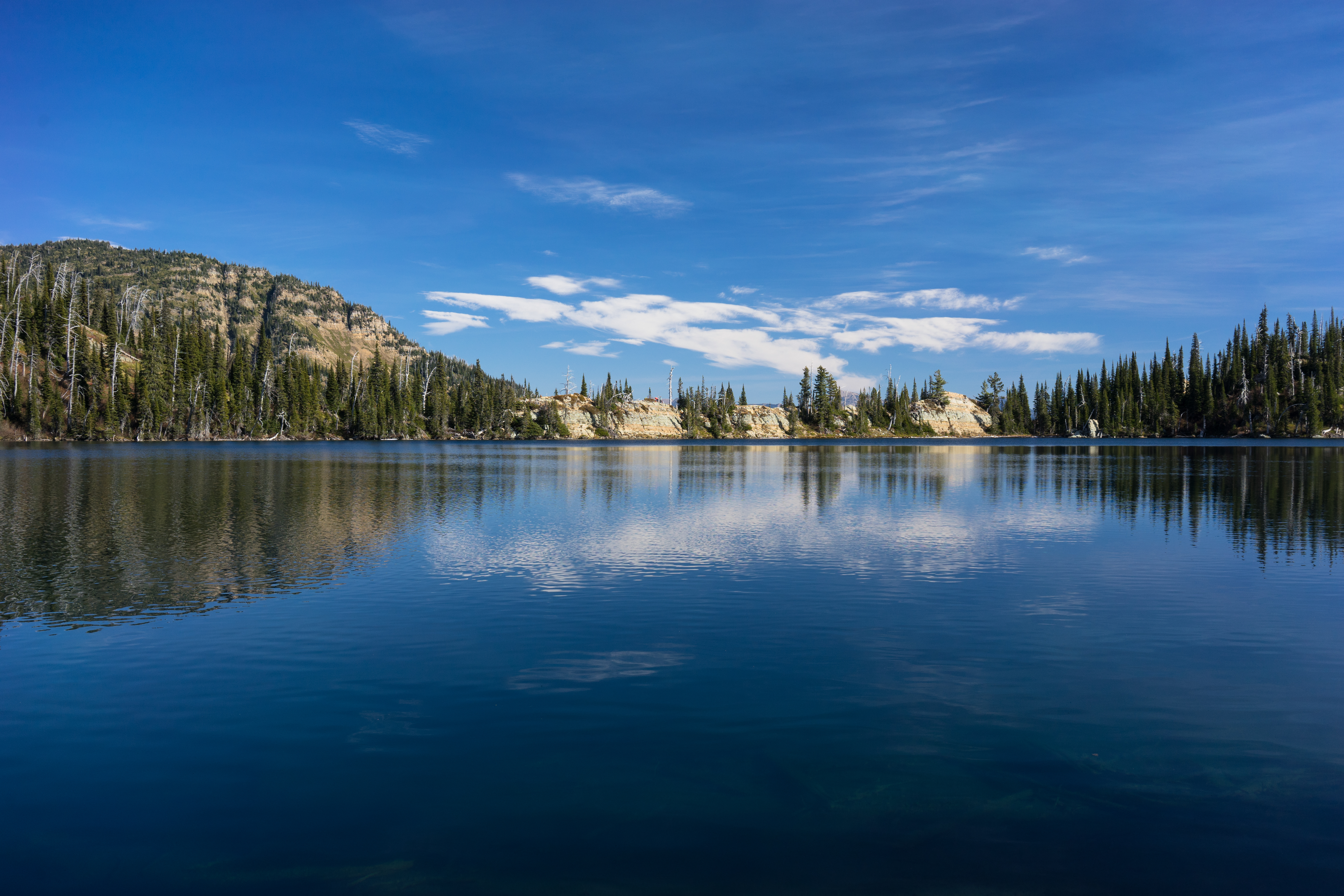
Birch Lake
Echo Lake
In-thlam-keh Lake
Lake Blaine
D70-0515-003 - Swan River
D70-0515-002 - Swan River
Big Hawk Lakes
Birch Lake
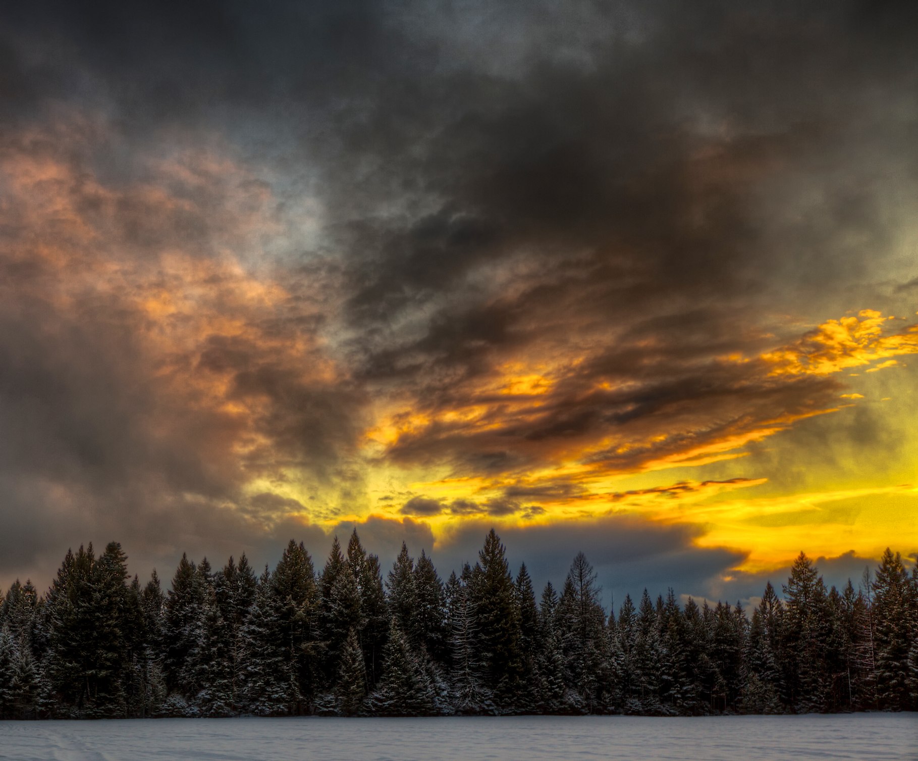
Harvey Field Sunset
Swan Range from Birch Lake Trail
Birch Lake and Mount Aeneas

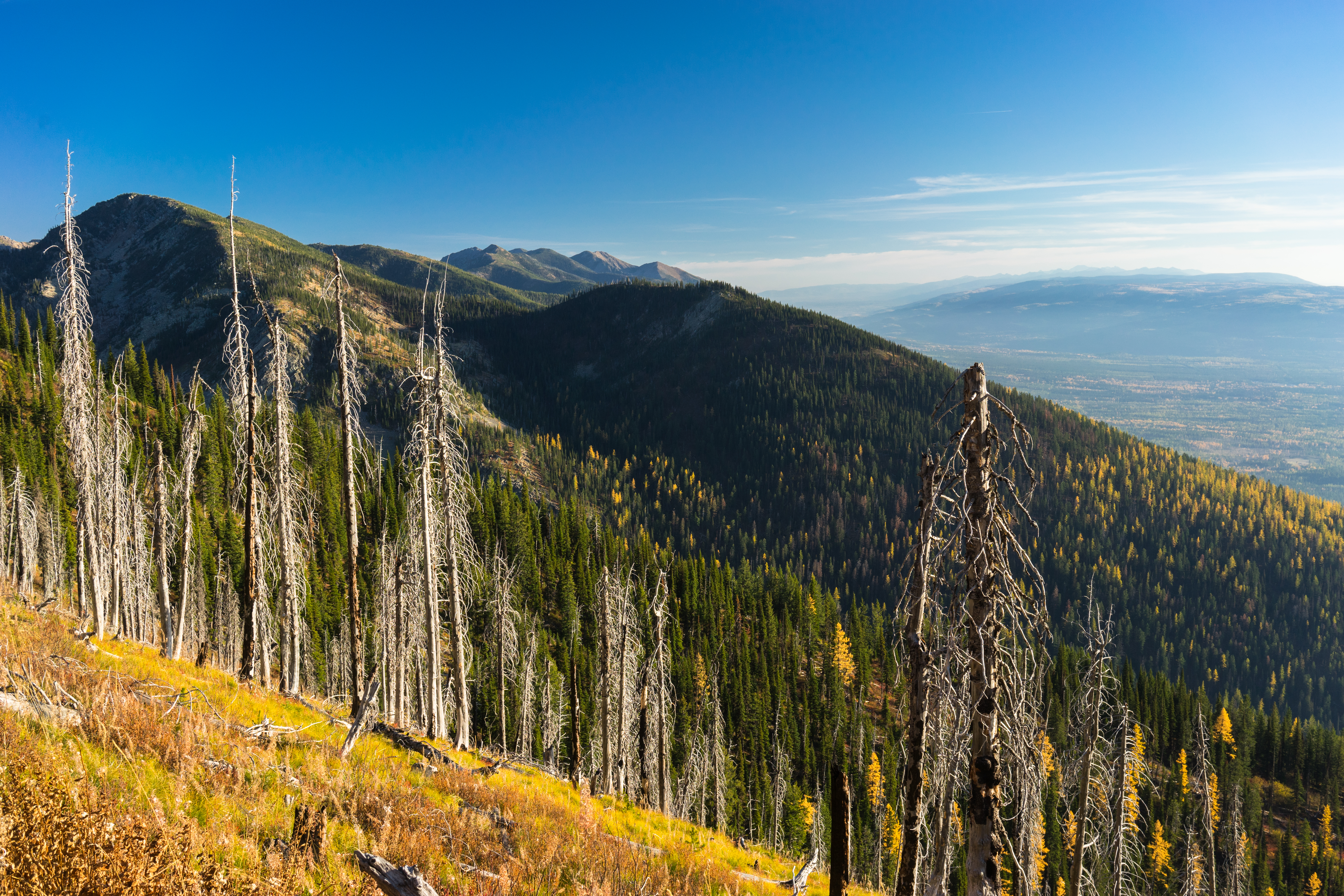
Flathead Range from Birch Lake
Topographic Map of Pioneer Ridge, Montana, USA
Find elevation by address:

Places near Pioneer Ridge, Montana, USA:
Murray Bay Campground
Firefighter Mountain
Mount Murray
Hungry Horse Mountain
Great Northern Mountain
Mount Adams
Mount Liebig
Mount Cameahwait
Grant Ridge
Great Bear Mountain
Battery Mountain
Nyack Mountain
Mount Penrose
Felix Peak
Hall Lake
Essex Mountain
Unawah Mountain
Paola Ridge
Nyack
Ousel Peak
Recent Searches:
- Elevation of Corso Fratelli Cairoli, 35, Macerata MC, Italy
- Elevation of Tallevast Rd, Sarasota, FL, USA
- Elevation of 4th St E, Sonoma, CA, USA
- Elevation of Black Hollow Rd, Pennsdale, PA, USA
- Elevation of Oakland Ave, Williamsport, PA, USA
- Elevation of Pedrógão Grande, Portugal
- Elevation of Klee Dr, Martinsburg, WV, USA
- Elevation of Via Roma, Pieranica CR, Italy
- Elevation of Tavkvetili Mountain, Georgia
- Elevation of Hartfords Bluff Cir, Mt Pleasant, SC, USA