Elevation of Hungry Horse Mountain, Montana, USA
Location: United States > Montana > Flathead County >
Longitude: -113.90594
Latitude: 48.369409
Elevation: 1644m / 5394feet
Barometric Pressure: 83KPa
Elevation Map:
Satellite Map:
Related Photos:

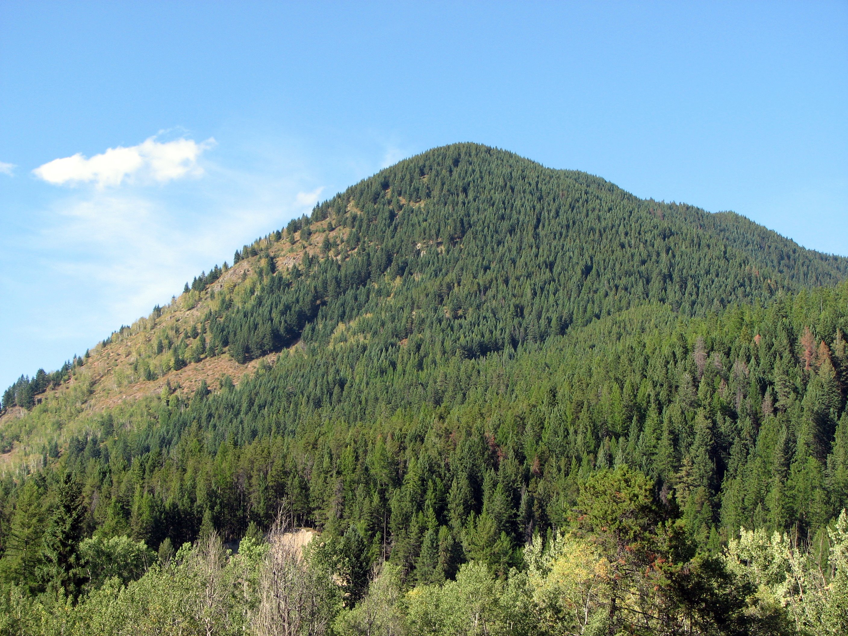
Good's Curve

Emery Creek
The View from the Belton
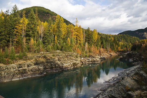
Larch along the Middle Fork of the Flathead
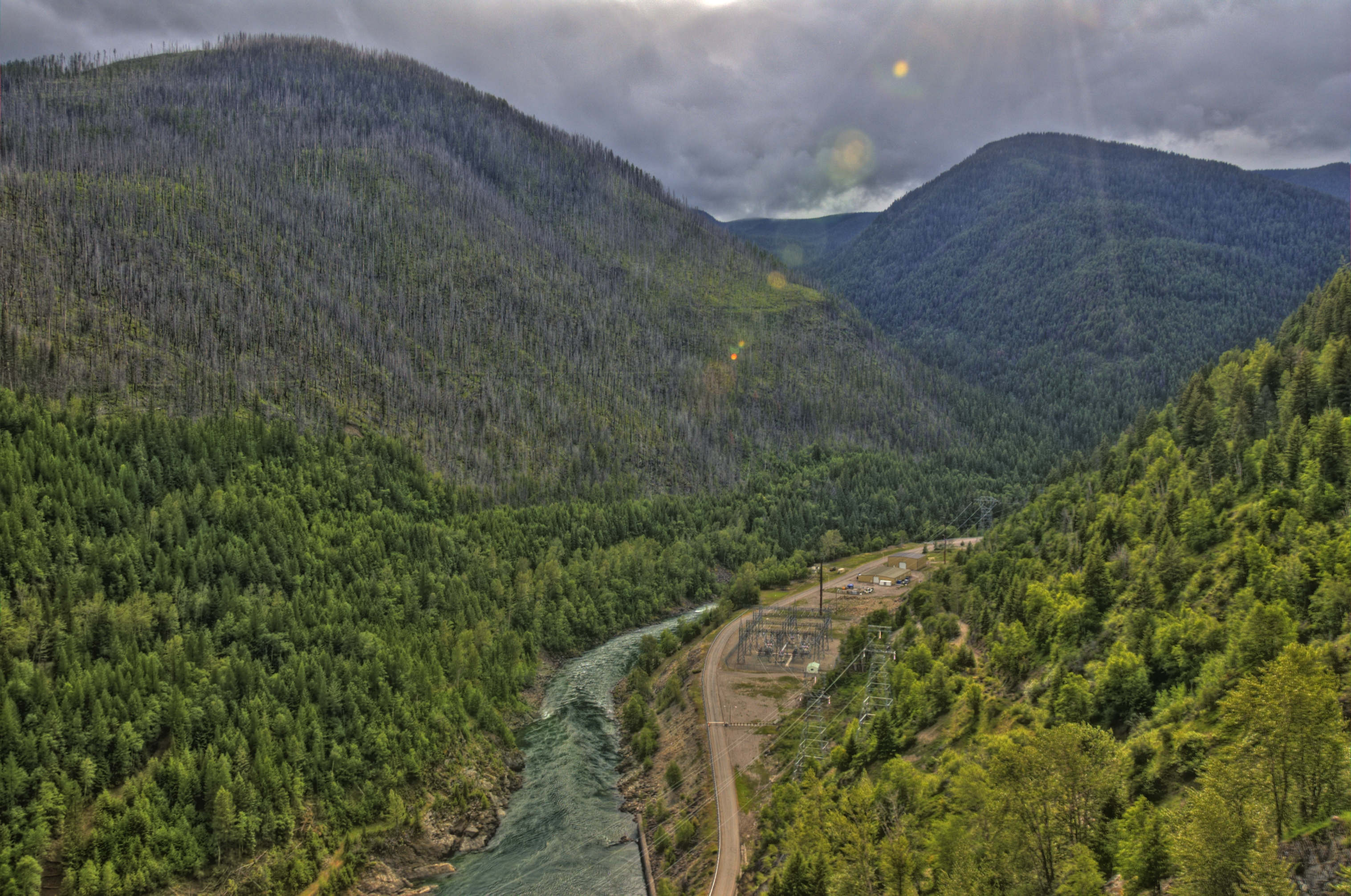
hungry horse dam 1
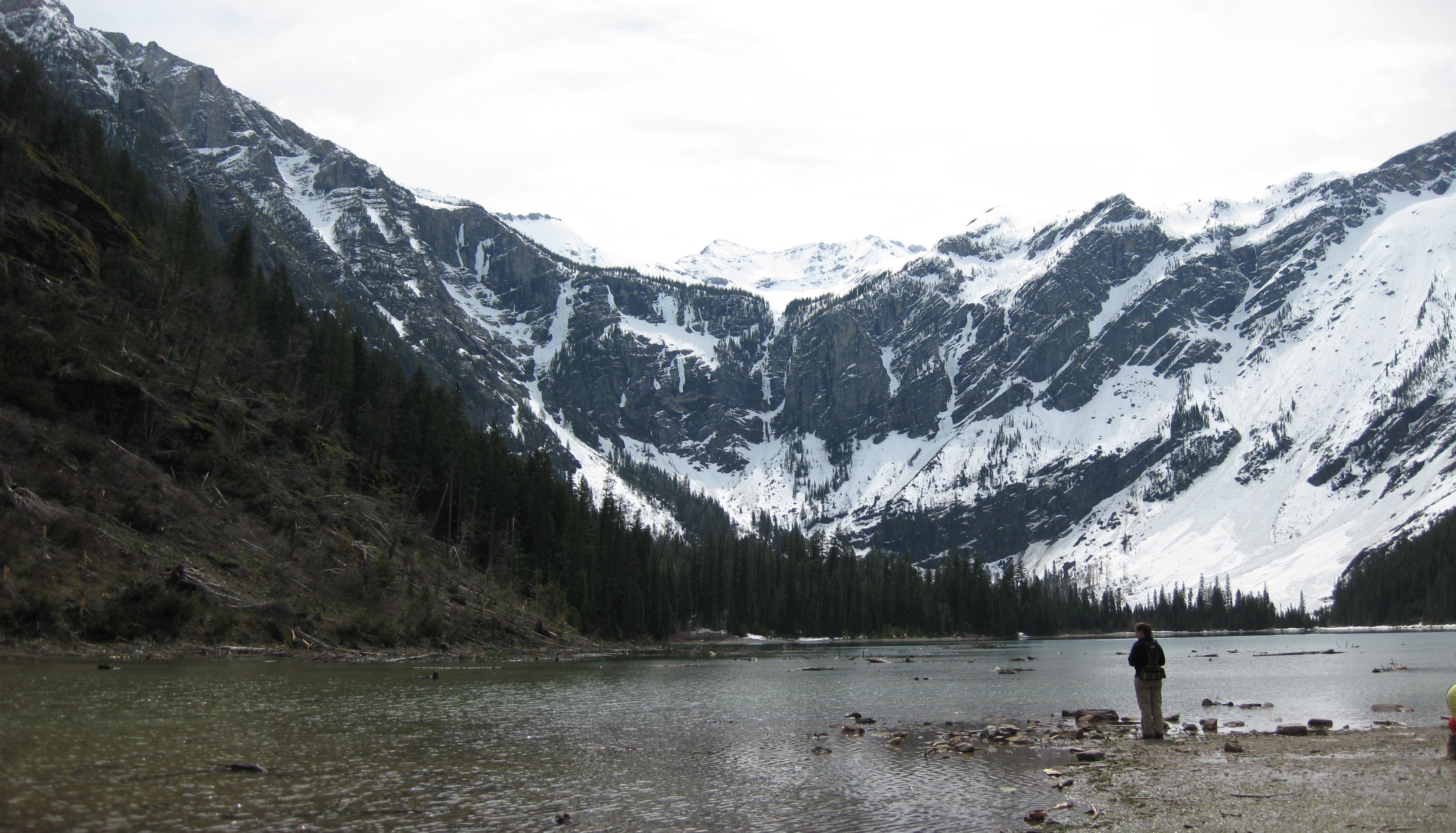
Glacier Bowl
Topographic Map of Hungry Horse Mountain, Montana, USA
Find elevation by address:

Places near Hungry Horse Mountain, Montana, USA:
Firefighter Mountain
Great Bear Mountain
Mount Penrose
Nyack Mountain
Ousel Peak
Nyack
Great Northern Mountain
Murray Bay Campground
Grant Ridge
Mount Murray
Pioneer Ridge
Mount Liebig
Mount Adams
Paola Ridge
Lake Mcdonald Lodge
Mount Cameahwait
West Glacier, MT, USA
US-2, Essex, MT, USA
Double Mountain West
Lincoln Peak
Recent Searches:
- Elevation of Corso Fratelli Cairoli, 35, Macerata MC, Italy
- Elevation of Tallevast Rd, Sarasota, FL, USA
- Elevation of 4th St E, Sonoma, CA, USA
- Elevation of Black Hollow Rd, Pennsdale, PA, USA
- Elevation of Oakland Ave, Williamsport, PA, USA
- Elevation of Pedrógão Grande, Portugal
- Elevation of Klee Dr, Martinsburg, WV, USA
- Elevation of Via Roma, Pieranica CR, Italy
- Elevation of Tavkvetili Mountain, Georgia
- Elevation of Hartfords Bluff Cir, Mt Pleasant, SC, USA