Elevation of Grant Ridge, Montana, USA
Location: United States > Montana > Flathead County > Essex >
Longitude: -113.74444
Latitude: 48.3402777
Elevation: 2171m / 7123feet
Barometric Pressure: 78KPa
Elevation Map:
Satellite Map:
Related Photos:
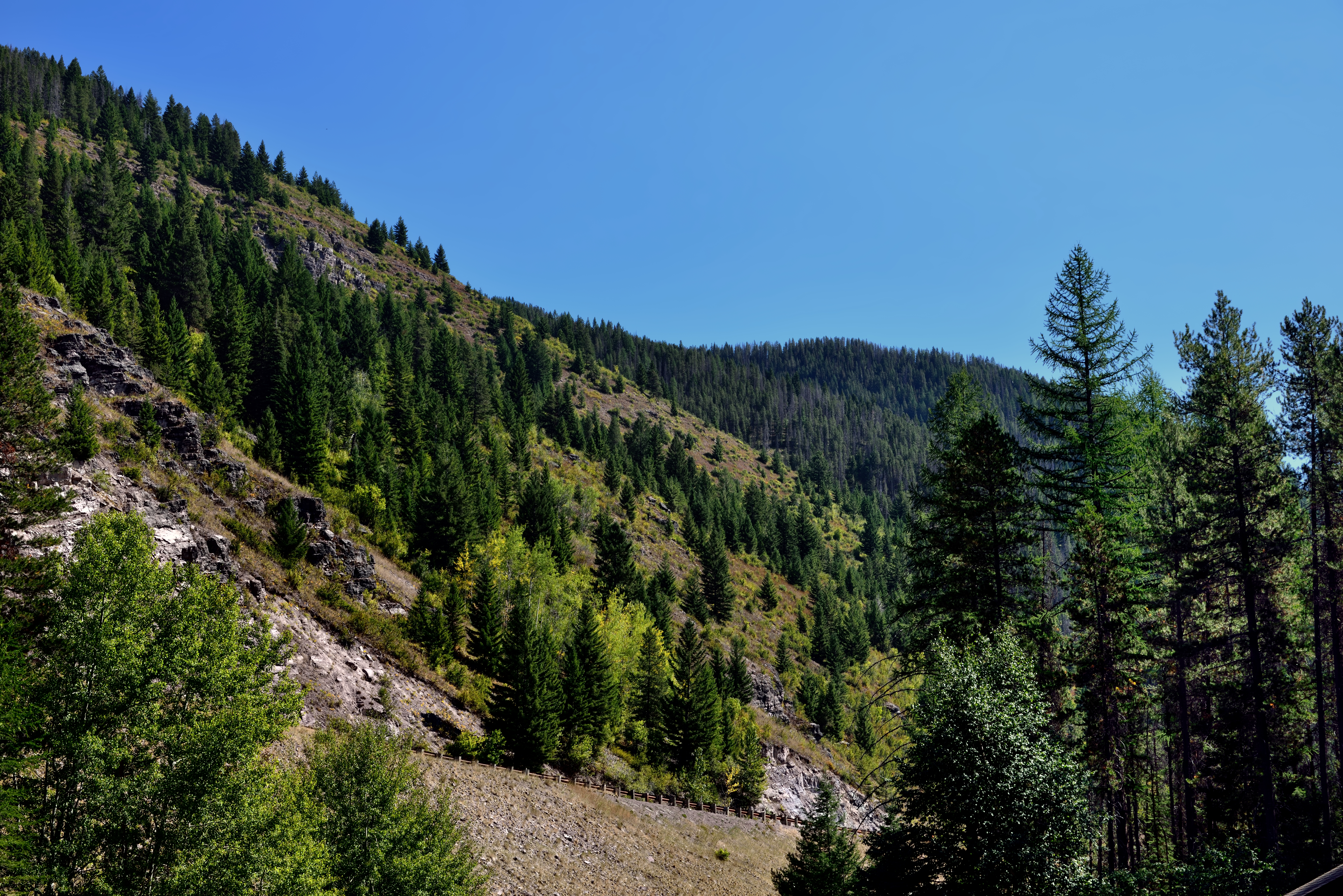
A Hillside of Trees
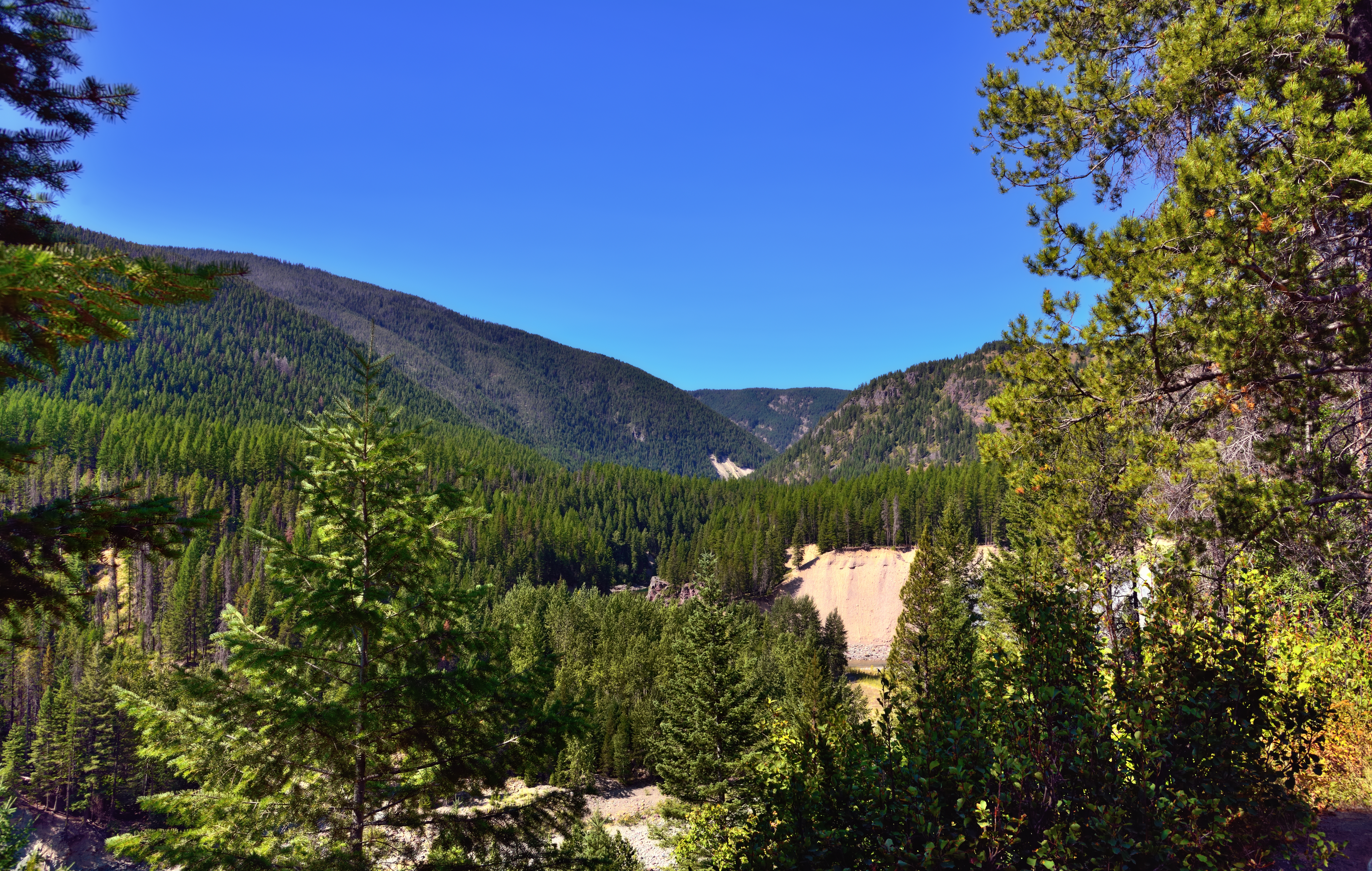
A View through Nearby Trees at Goat Lick
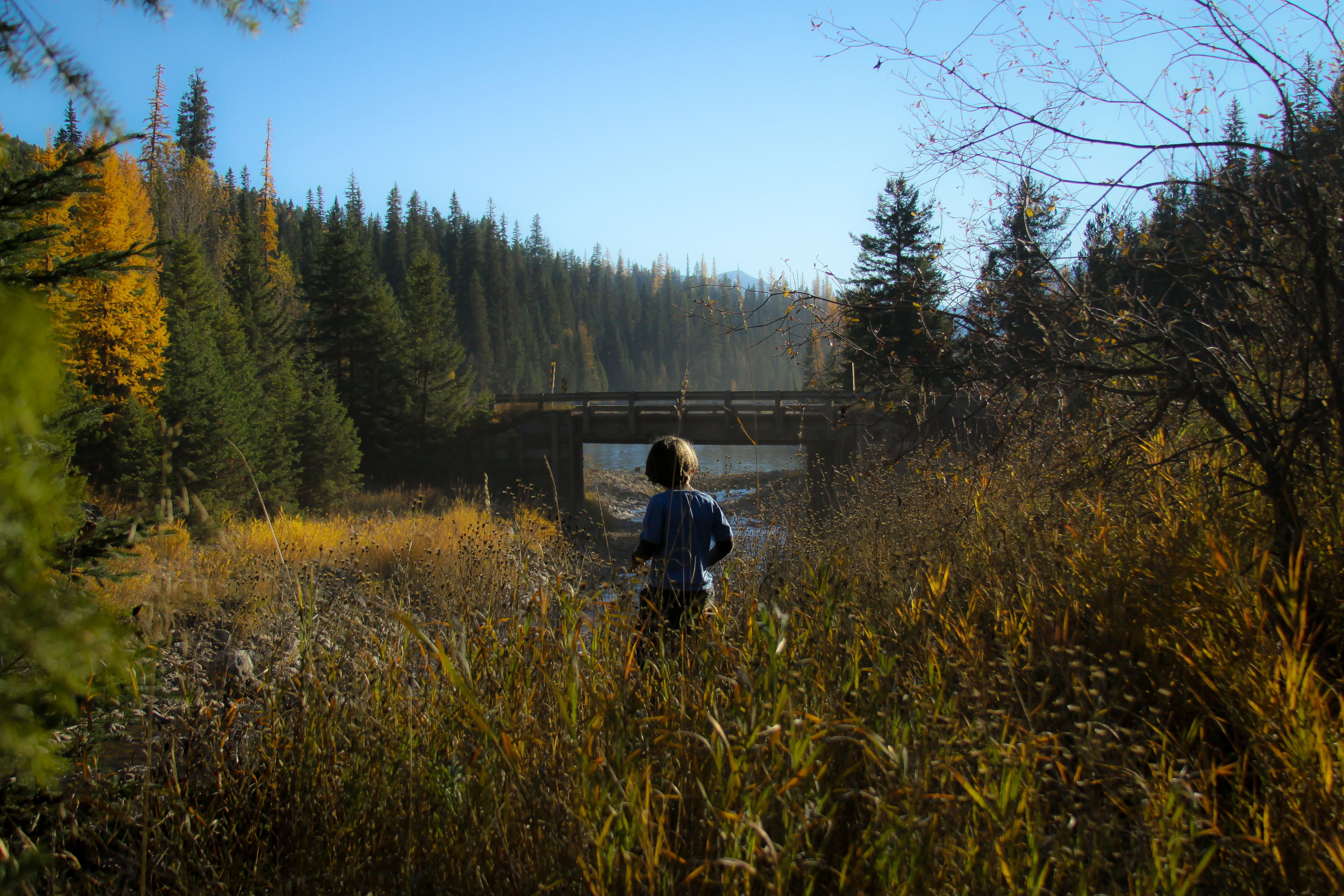
Emery Creek
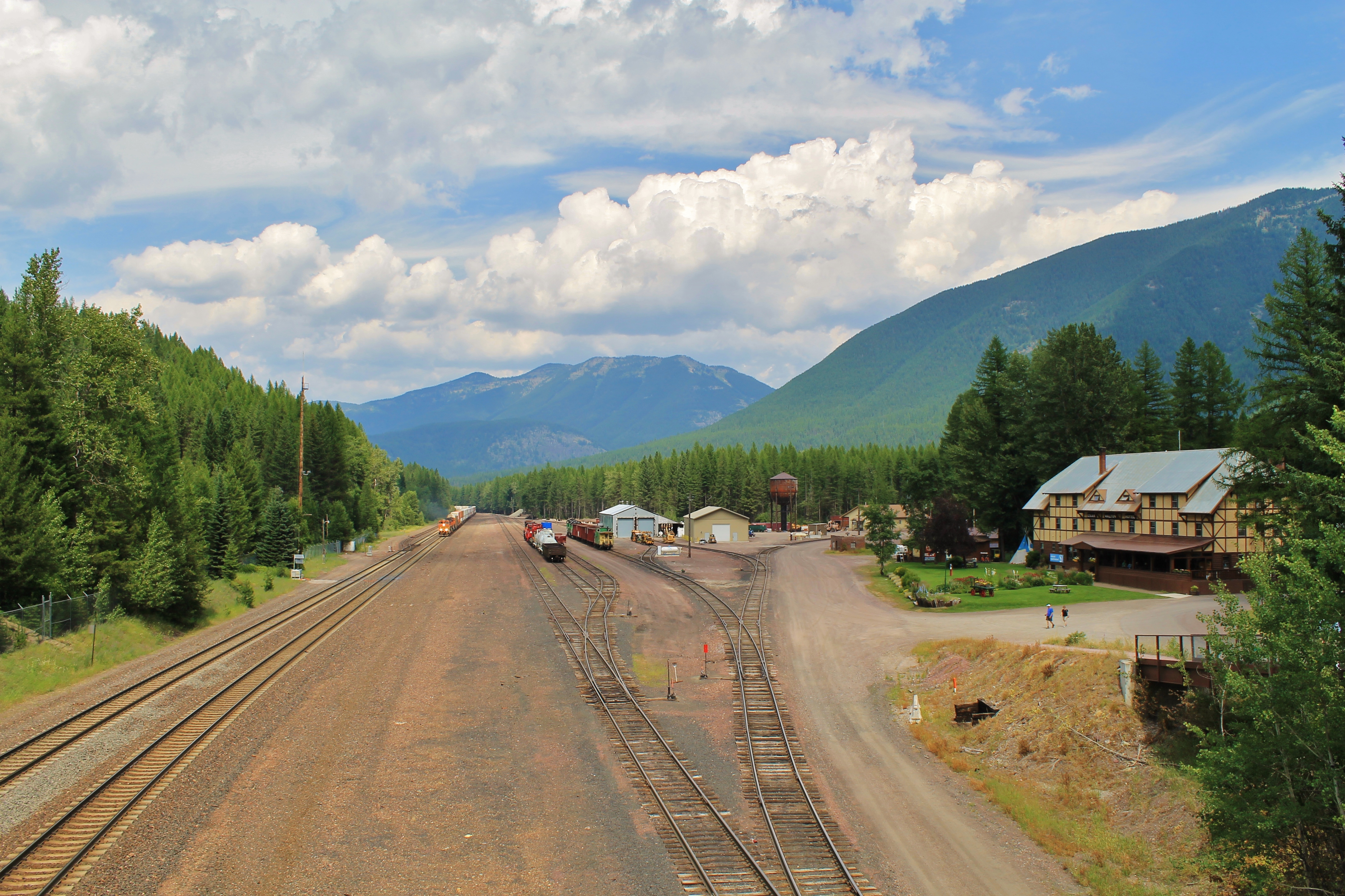
View from above.
Topographic Map of Grant Ridge, Montana, USA
Find elevation by address:

Places near Grant Ridge, Montana, USA:
Great Northern Mountain
Mount Liebig
Mount Murray
Paola Ridge
Nyack Mountain
US-2, Essex, MT, USA
Mount Adams
Murray Bay Campground
Double Mountain West
Essex Mountain
Mount Penrose
Nyack
Mount Cameahwait
Riverview Mountain
Firefighter Mountain
Essex
Snowshed Mountain
118 Izaak Walton Inn Rd
Great Bear Mountain
Rampage Mountain
Recent Searches:
- Elevation of Corso Fratelli Cairoli, 35, Macerata MC, Italy
- Elevation of Tallevast Rd, Sarasota, FL, USA
- Elevation of 4th St E, Sonoma, CA, USA
- Elevation of Black Hollow Rd, Pennsdale, PA, USA
- Elevation of Oakland Ave, Williamsport, PA, USA
- Elevation of Pedrógão Grande, Portugal
- Elevation of Klee Dr, Martinsburg, WV, USA
- Elevation of Via Roma, Pieranica CR, Italy
- Elevation of Tavkvetili Mountain, Georgia
- Elevation of Hartfords Bluff Cir, Mt Pleasant, SC, USA