Elevation of Rampage Mountain, Montana, USA
Location: United States > Montana > Flathead County > Essex >
Longitude: -113.58899
Latitude: 48.3457969
Elevation: 2015m / 6611feet
Barometric Pressure: 79KPa
Elevation Map:
Satellite Map:
Related Photos:
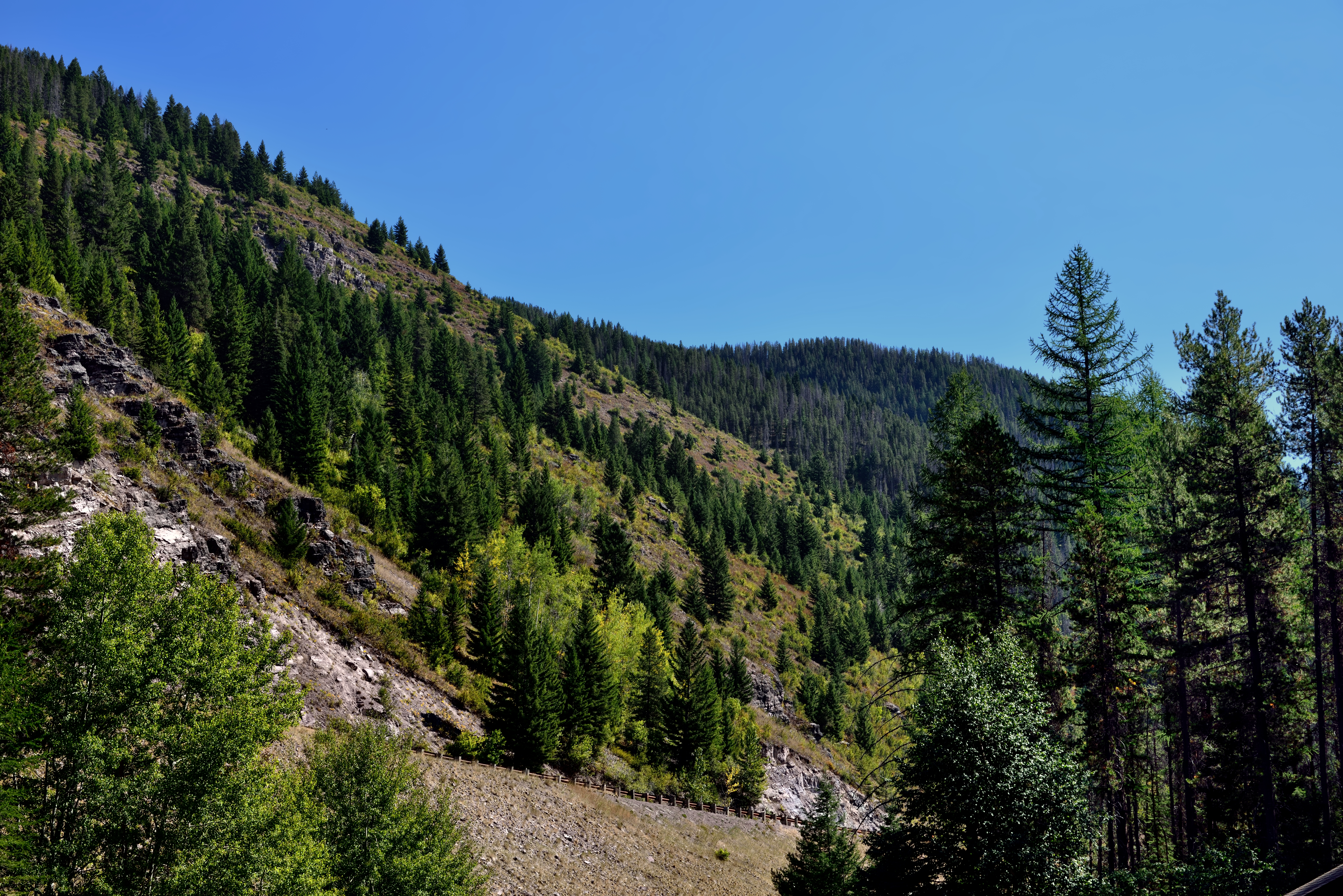
A Hillside of Trees
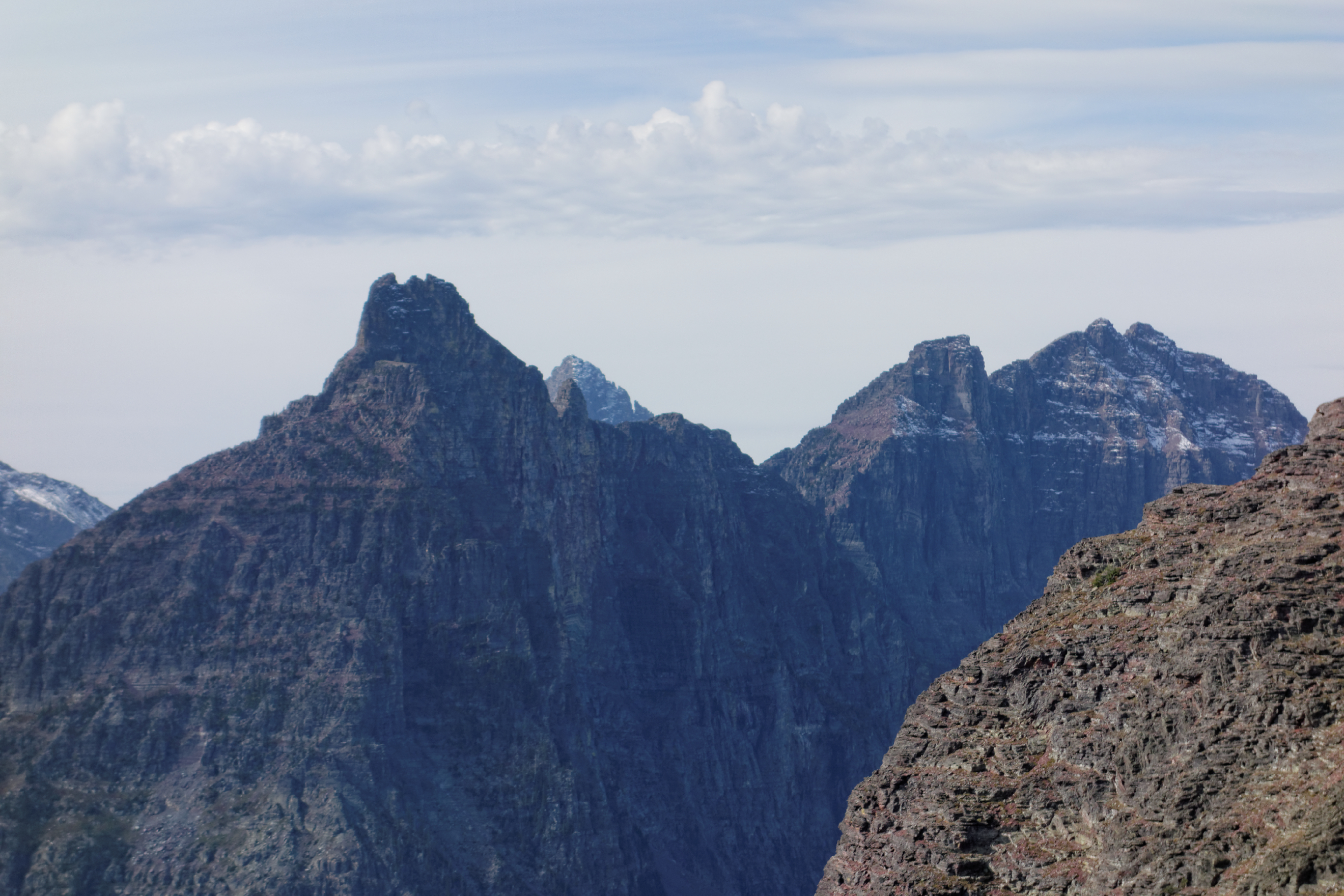
DSC07345 Vigil Peak, Glacier National Park, USA
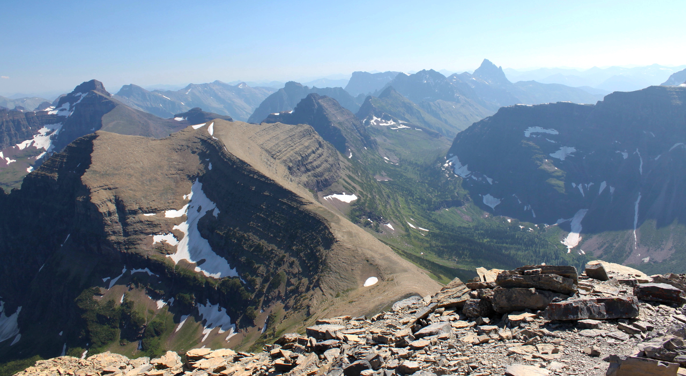
Flinsch summit towards Mount Helen.

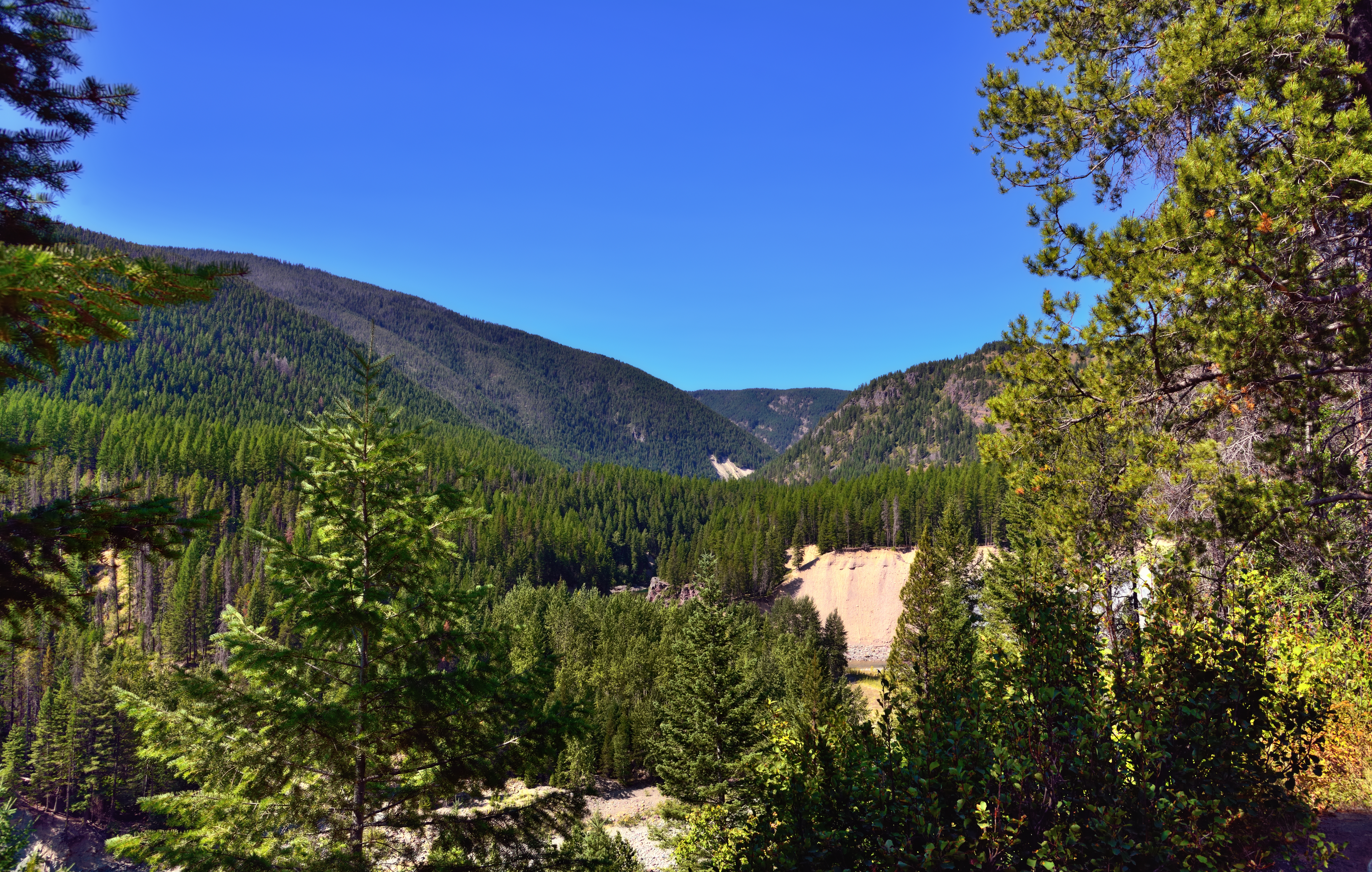
A Mountain Drive through the Flathead National Forest.
A View through Nearby Trees at Goat Lick

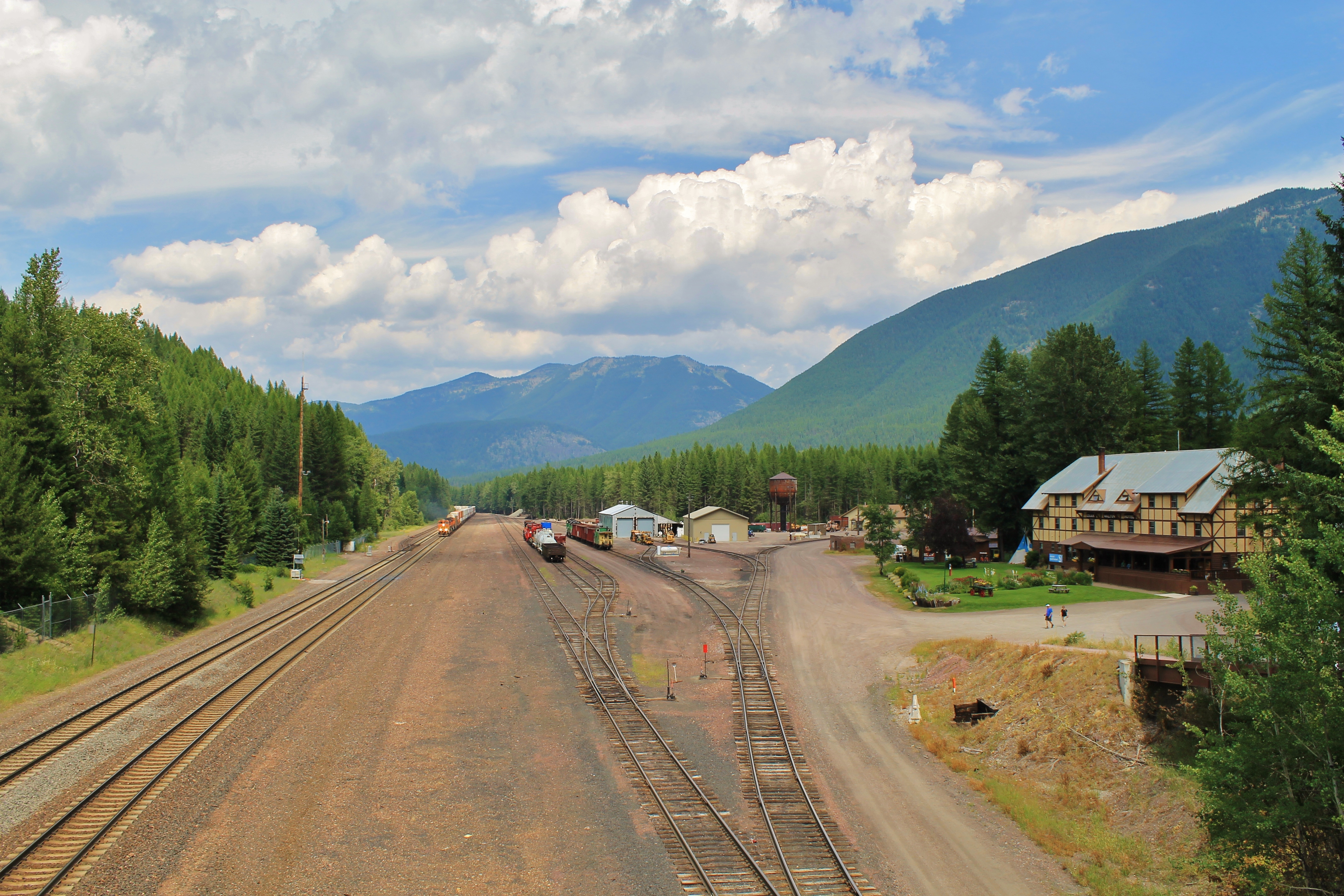
Glacier NP from Rear of Train 3
View from above.

Beaver Pond
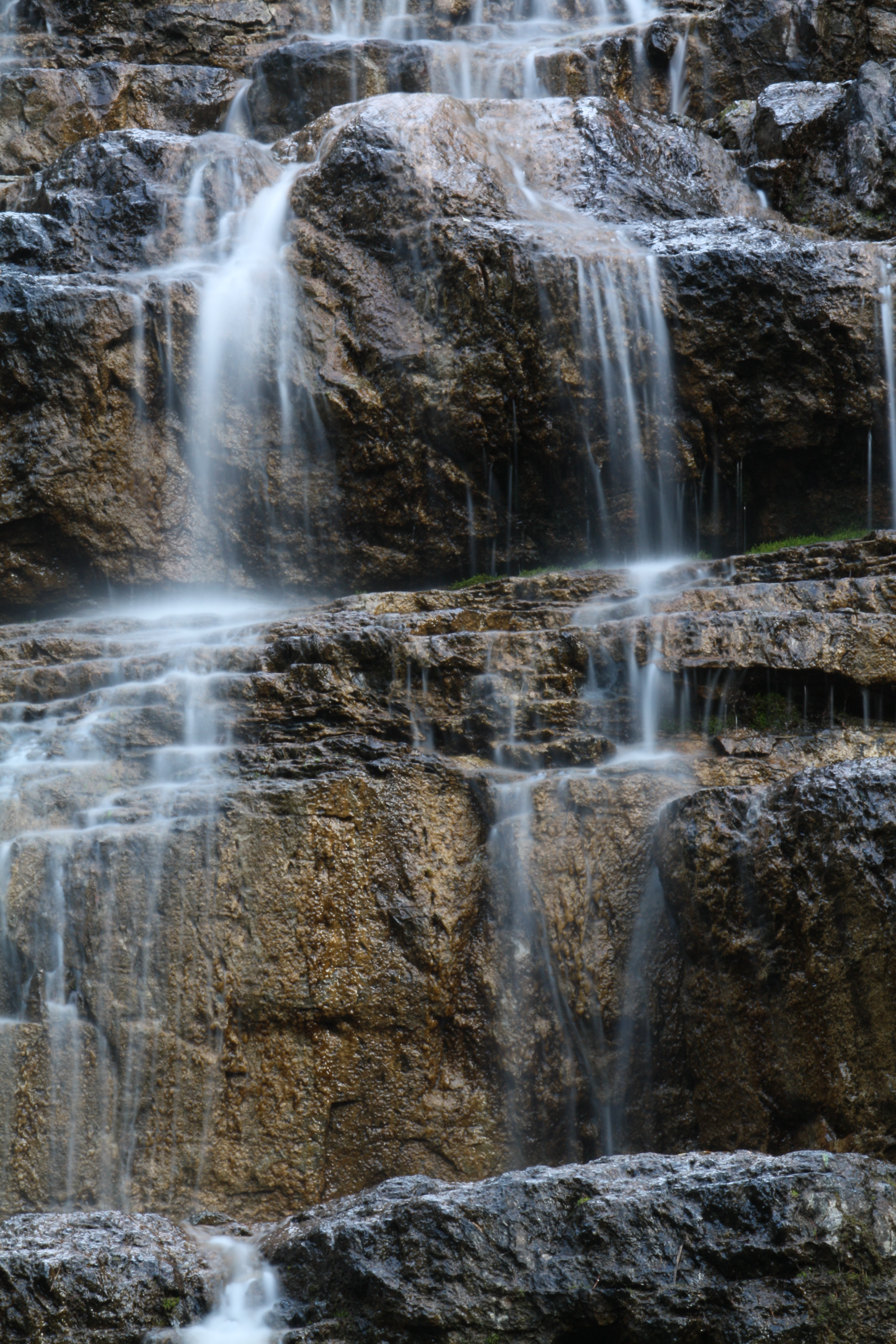
Water Cascade Long Exposure
Topographic Map of Rampage Mountain, Montana, USA
Find elevation by address:

Places near Rampage Mountain, Montana, USA:
Riverview Mountain
Scalplock Mountain
Mount Saint Nicholas
US-2, Essex, MT, USA
118 Izaak Walton Inn Rd
Essex
Church Butte
Double Mountain West
Paola Ridge
Cloudcroft Peaks South
Battlement Mountain
Running Rabbit Mountain
Cloudcroft Peaks North
Statuary Mountain
Essex Mountain
Snowslip Mountain
Snowshed Mountain
Vigil Peak
Caper Peak
Java Mountain
Recent Searches:
- Elevation of Corso Fratelli Cairoli, 35, Macerata MC, Italy
- Elevation of Tallevast Rd, Sarasota, FL, USA
- Elevation of 4th St E, Sonoma, CA, USA
- Elevation of Black Hollow Rd, Pennsdale, PA, USA
- Elevation of Oakland Ave, Williamsport, PA, USA
- Elevation of Pedrógão Grande, Portugal
- Elevation of Klee Dr, Martinsburg, WV, USA
- Elevation of Via Roma, Pieranica CR, Italy
- Elevation of Tavkvetili Mountain, Georgia
- Elevation of Hartfords Bluff Cir, Mt Pleasant, SC, USA