Elevation of Church Butte, Montana, USA
Location: United States > Montana > West Glacier >
Longitude: -113.51371
Latitude: 48.3816308
Elevation: 2686m / 8812feet
Barometric Pressure: 73KPa
Elevation Map:
Satellite Map:
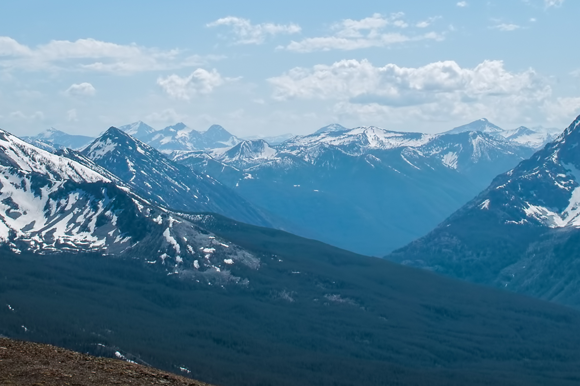
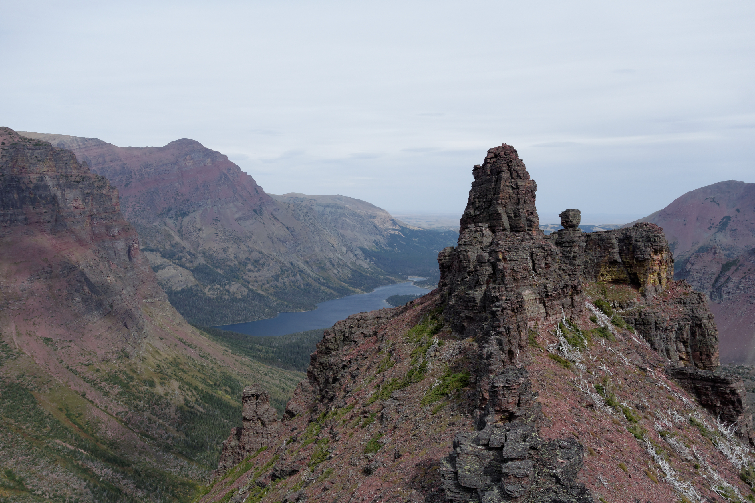
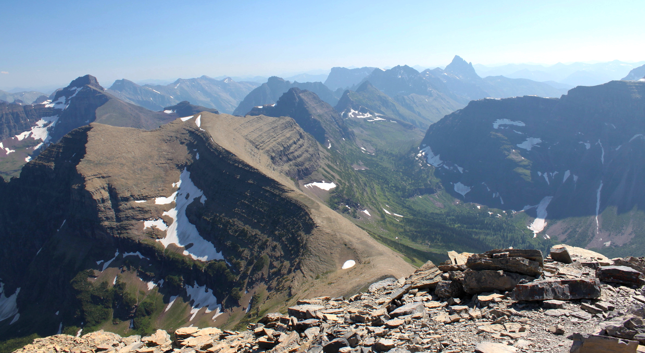
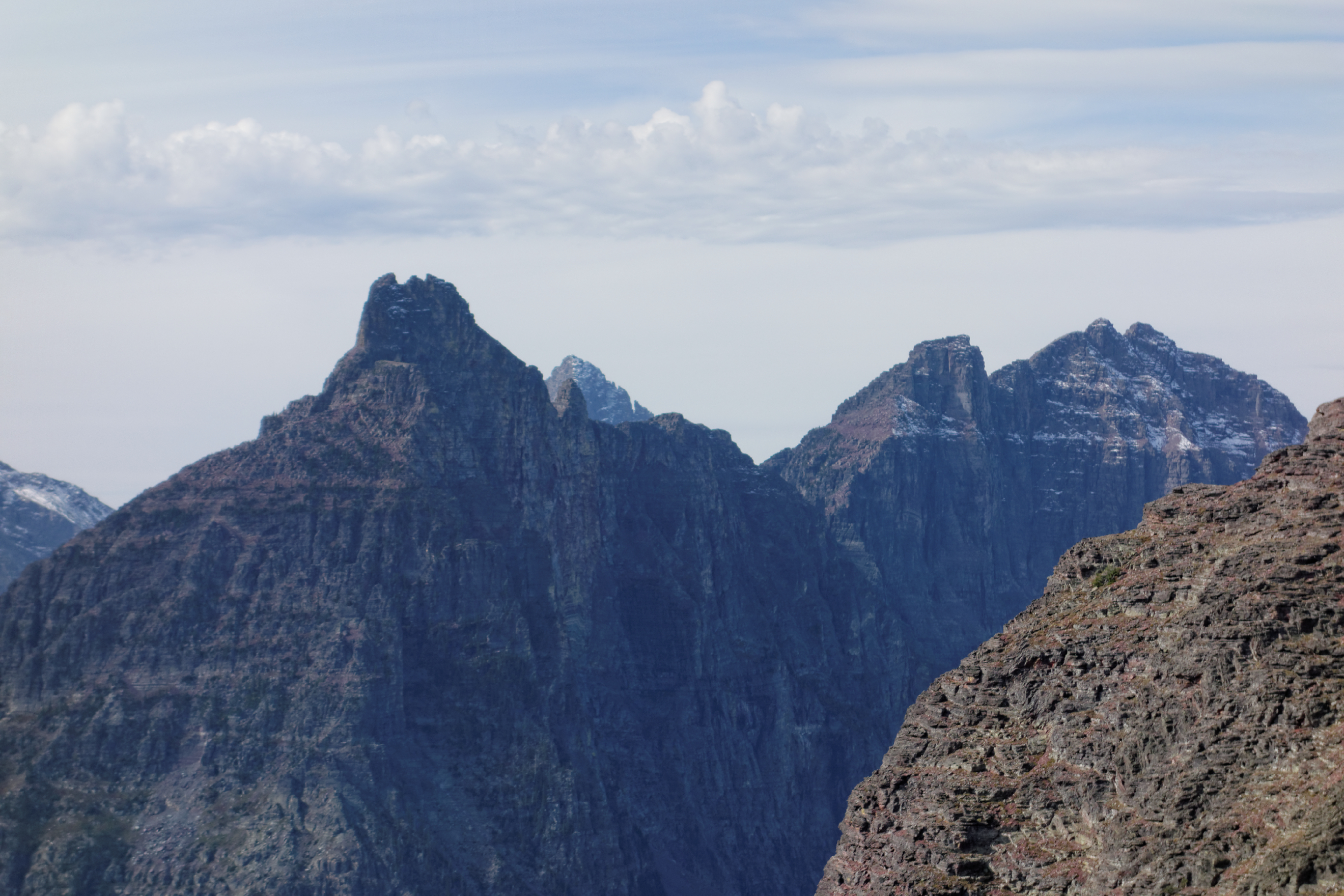
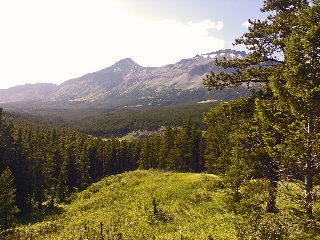
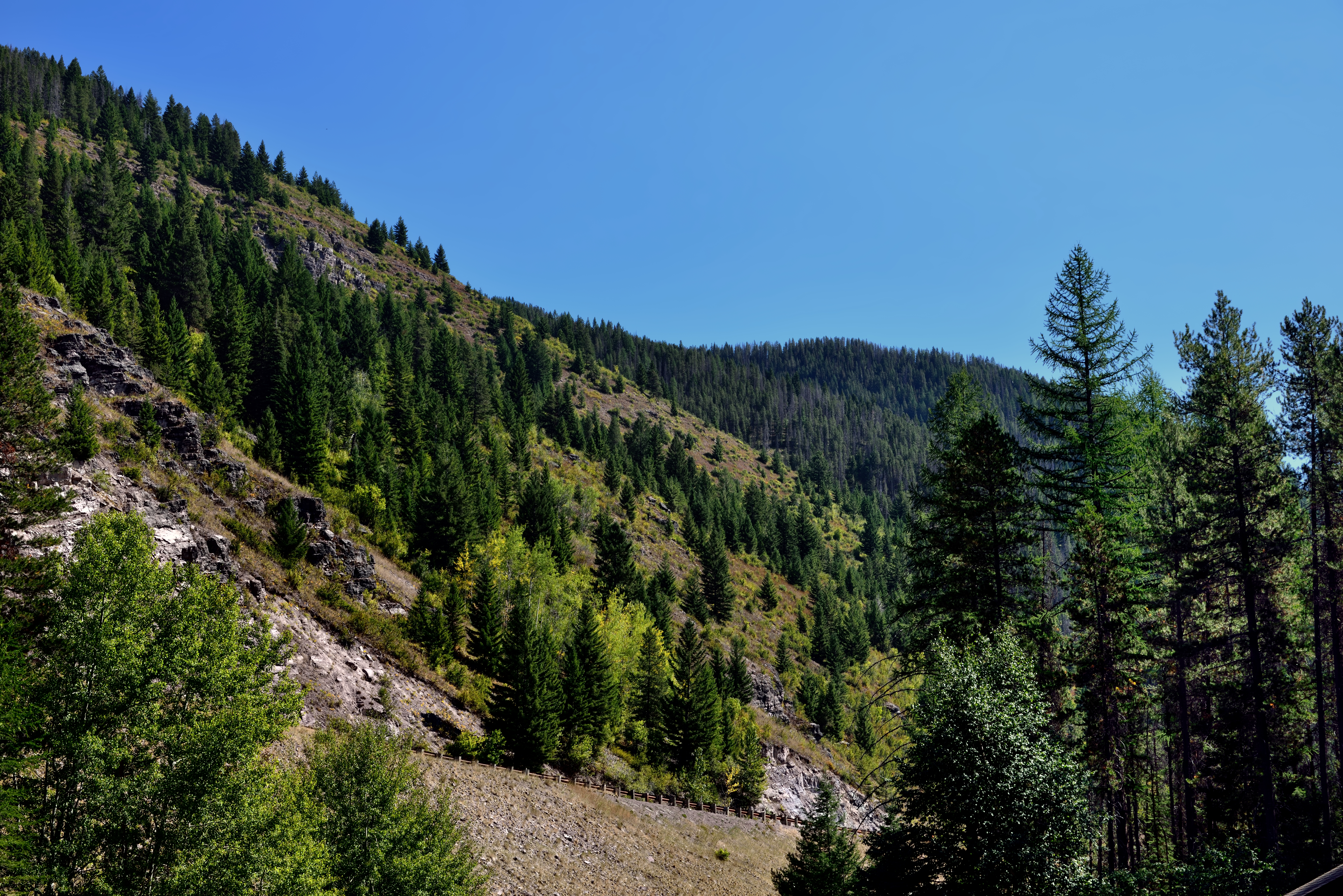
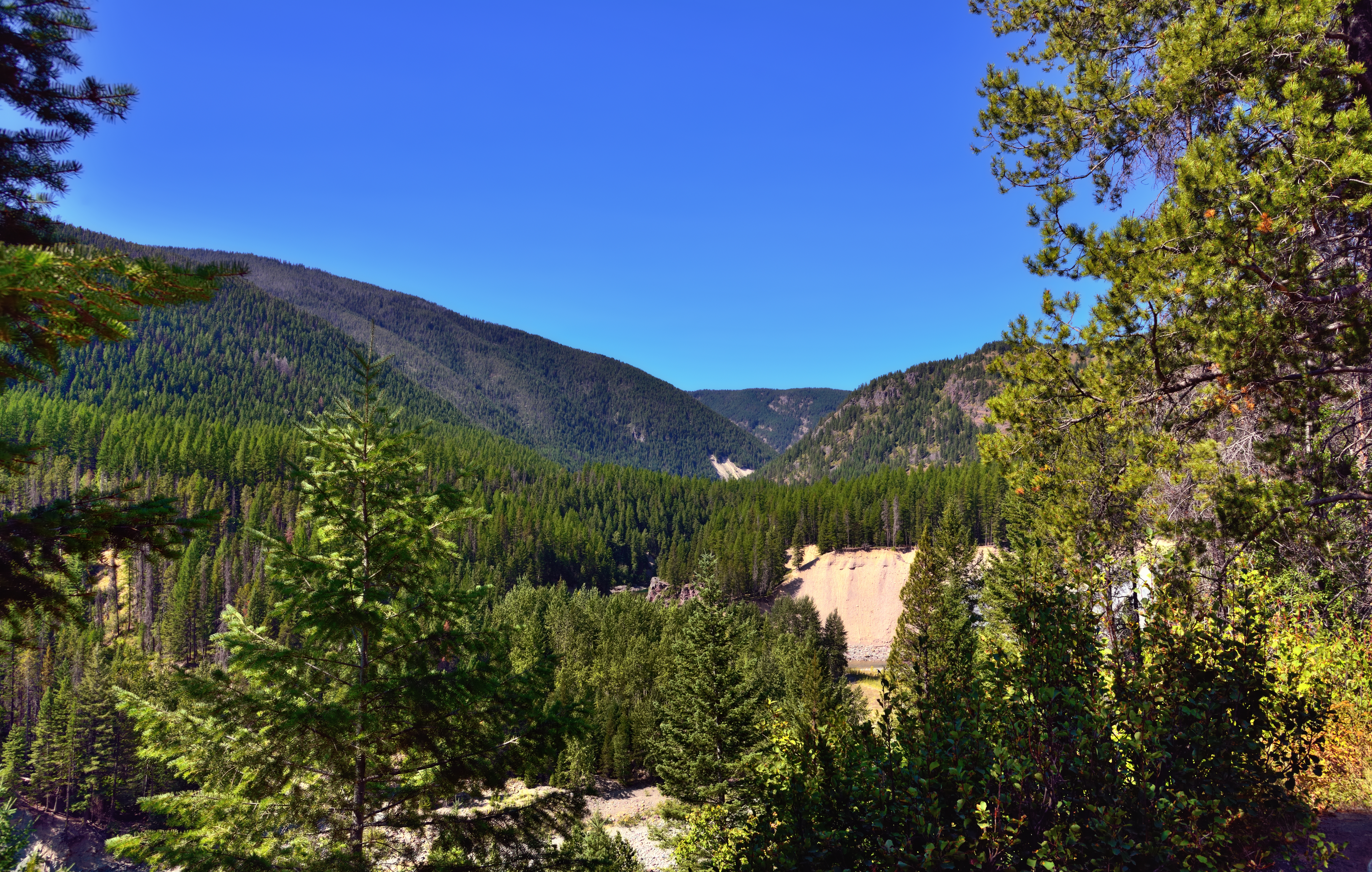
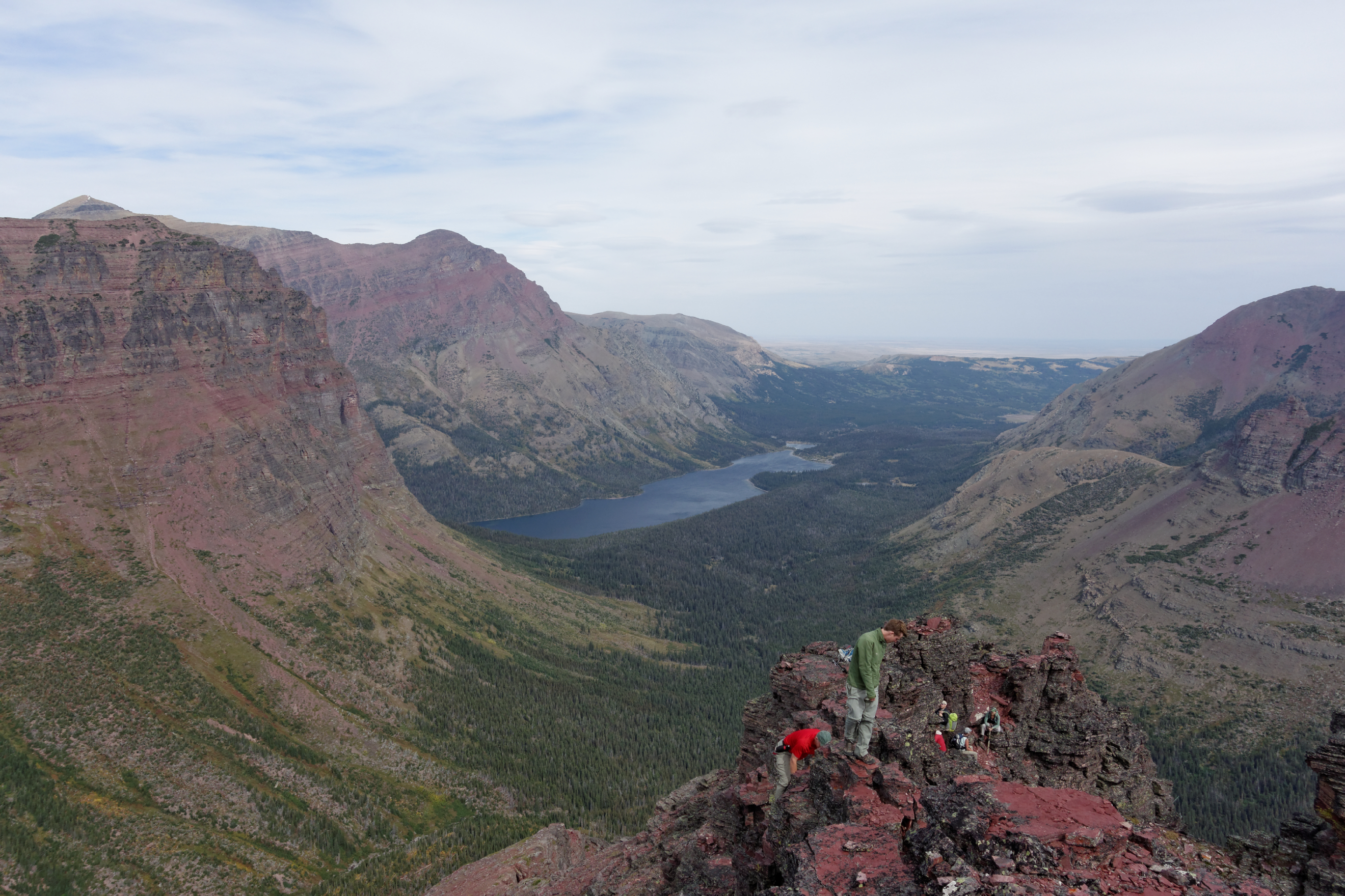
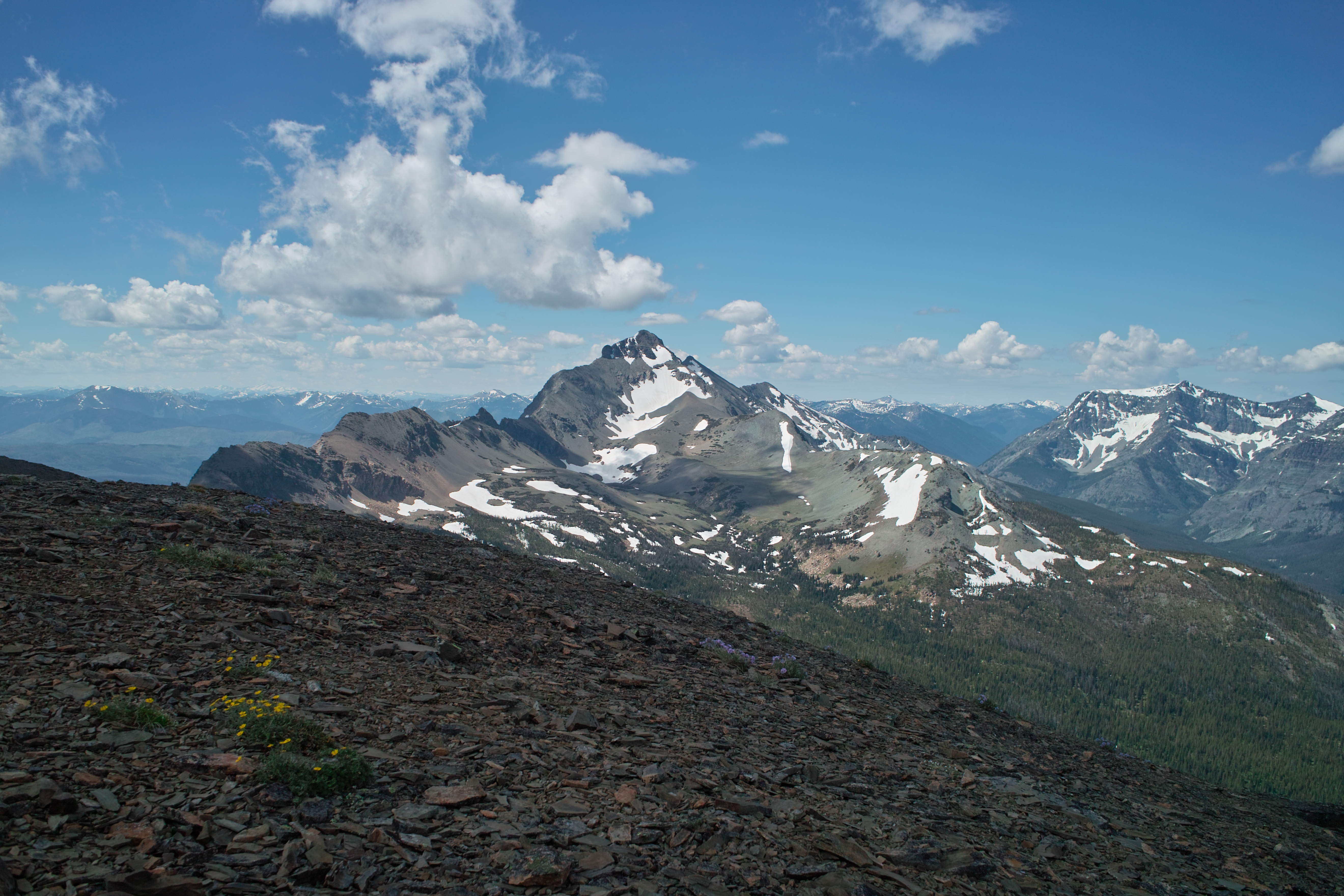
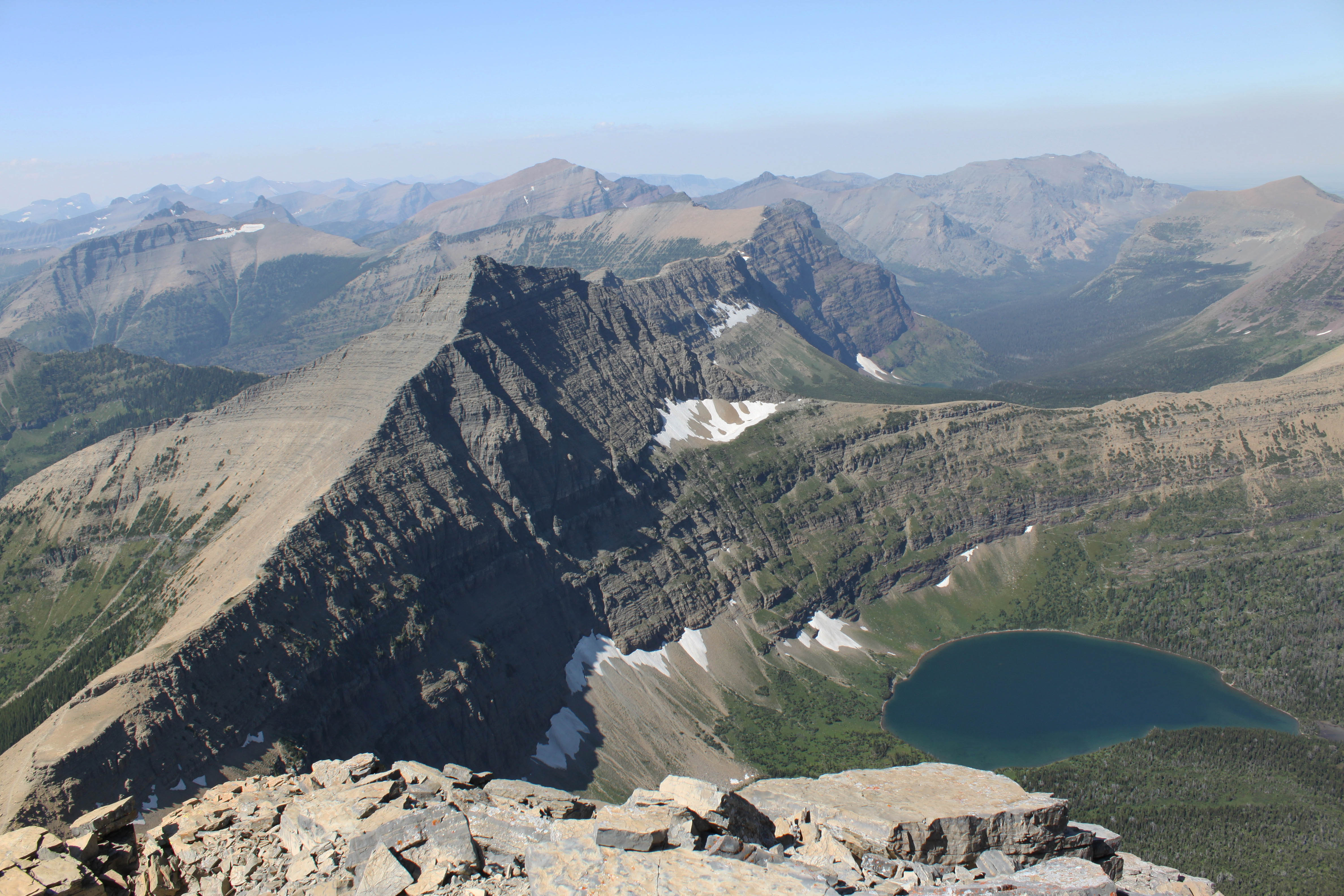
Related Photos:
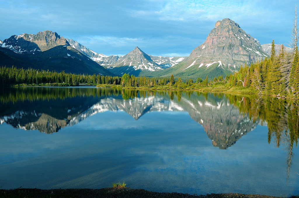
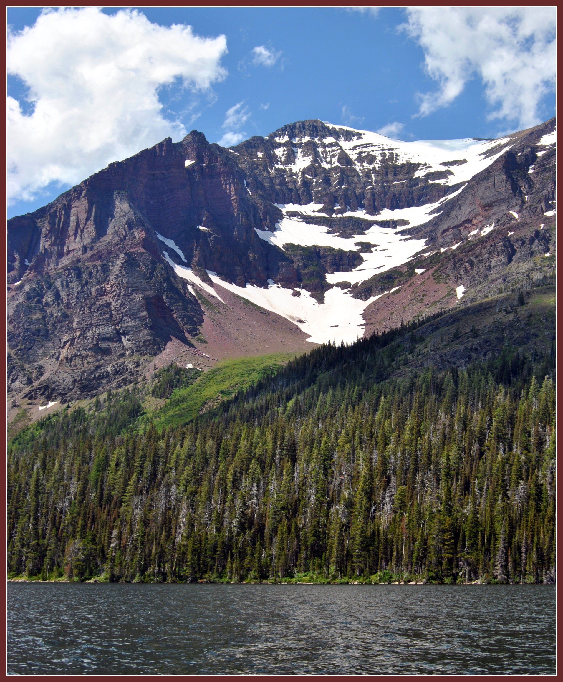
Morning Medicine
Morning at Two Medicine

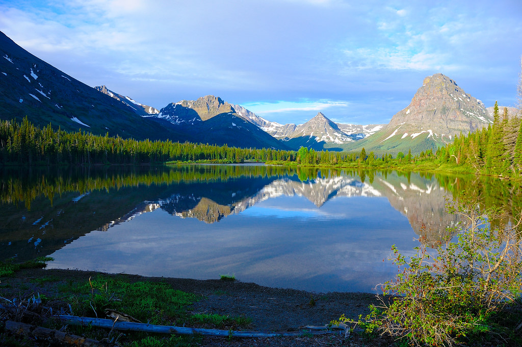
Dawn Delight
DSC00437 view north from Mt Ellsworth summit
Bench, with a View
SDIM7953 view southwest from Red Crow summit

Glacier NP from Rear of Train 3

Morning Bliss
view of Painted Tepee summit block
Flinsch summit towards Mount Helen.
DSC07345 Vigil Peak, Glacier National Park, USA
Hiking in Montana
A Hillside of Trees
A View through Nearby Trees at Goat Lick

A Mountain Drive through the Flathead National Forest.
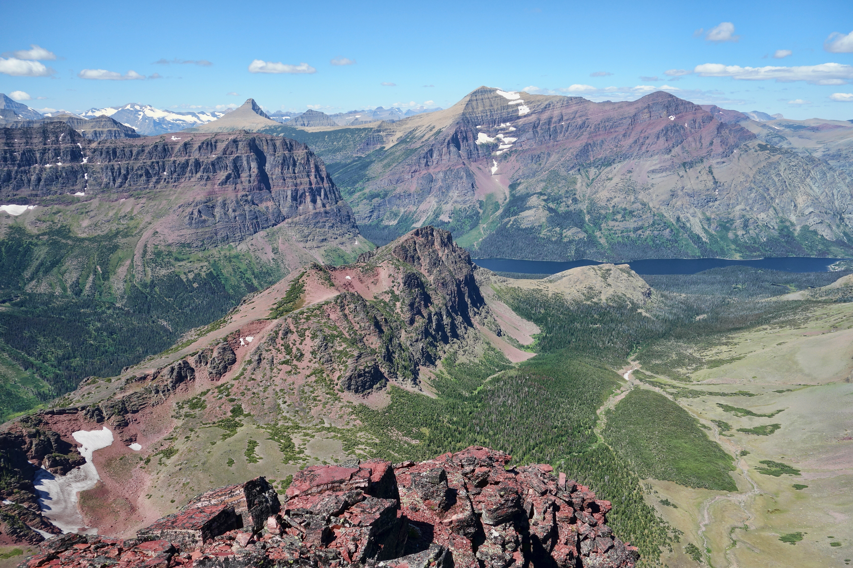
Two Medicine Lake viewed from summit of Painted Tepee Peak
SDIM0260 Summit Mountain, Glacier National Park
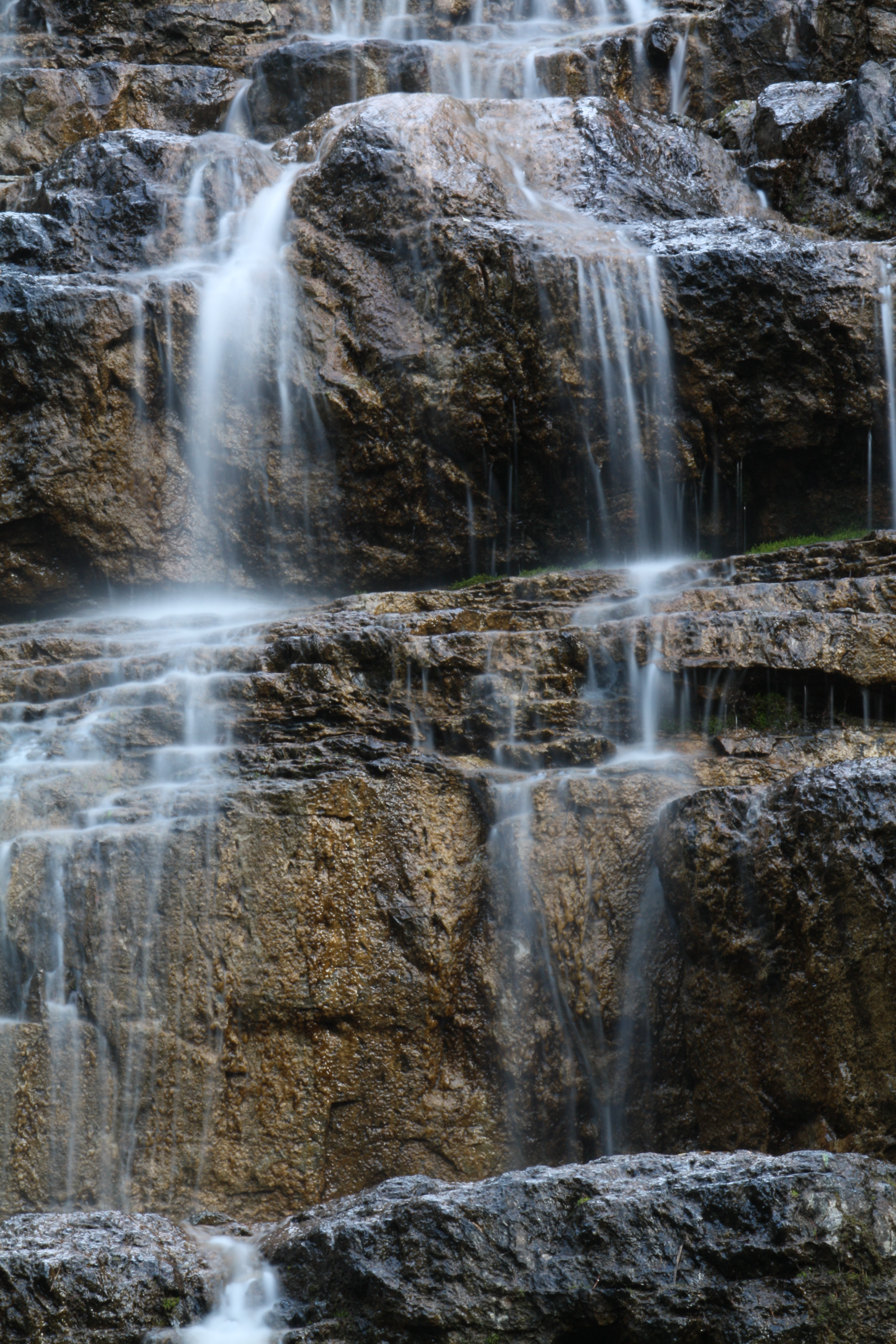
Water Cascade Long Exposure
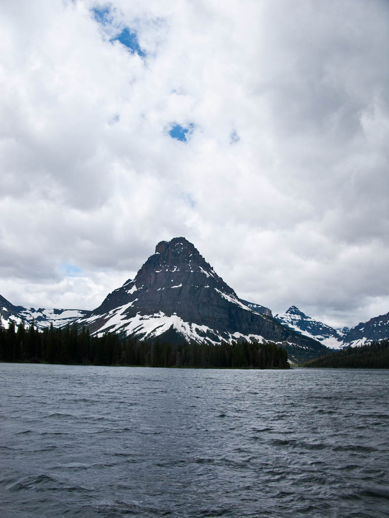
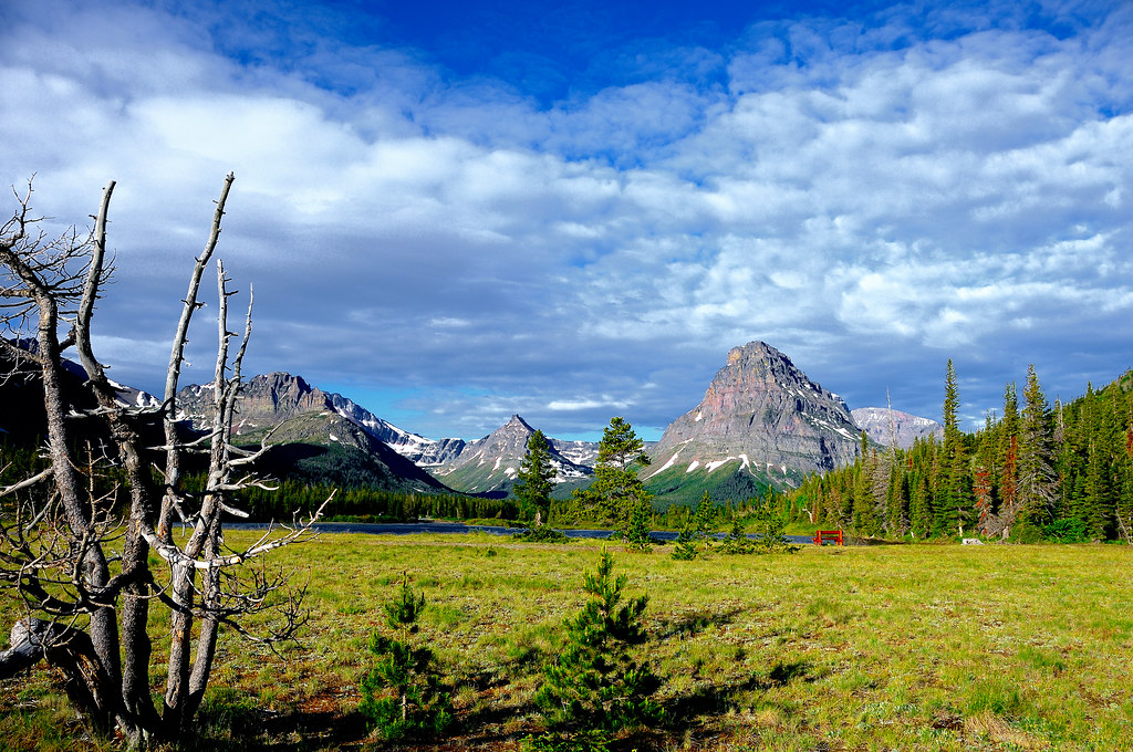
Two Medicine Lake
Flinsch summit towards Mount Morgan.
Rising Wolf Mountain: Montana ( 4 Views )
Topographic Map of Church Butte, Montana, USA
Find elevation by address:

Places near Church Butte, Montana, USA:
Statuary Mountain
Battlement Mountain
Mount Saint Nicholas
Vigil Peak
Caper Peak
Lone Walker Mountain
Mount Despair
Mount Rockwell
Barrier Buttes East
Upper Two Medicine Lake
Cobalt Lake
Grizzly Mountain
No Name Lake
Painted Tepee Peak
Flinsch Peak
Sinopah Mountain
Little Dog Mountain
Oldman Lake
Summit Mountain
Never Laughs Mountain
Recent Searches:
- Elevation of Corso Fratelli Cairoli, 35, Macerata MC, Italy
- Elevation of Tallevast Rd, Sarasota, FL, USA
- Elevation of 4th St E, Sonoma, CA, USA
- Elevation of Black Hollow Rd, Pennsdale, PA, USA
- Elevation of Oakland Ave, Williamsport, PA, USA
- Elevation of Pedrógão Grande, Portugal
- Elevation of Klee Dr, Martinsburg, WV, USA
- Elevation of Via Roma, Pieranica CR, Italy
- Elevation of Tavkvetili Mountain, Georgia
- Elevation of Hartfords Bluff Cir, Mt Pleasant, SC, USA