Elevation of Pioneer, CA, USA
Location: United States > California > Alpine County >
Longitude: -120.5718719
Latitude: 38.4318551
Elevation: 910m / 2986feet
Barometric Pressure: 0KPa
Related Photos:
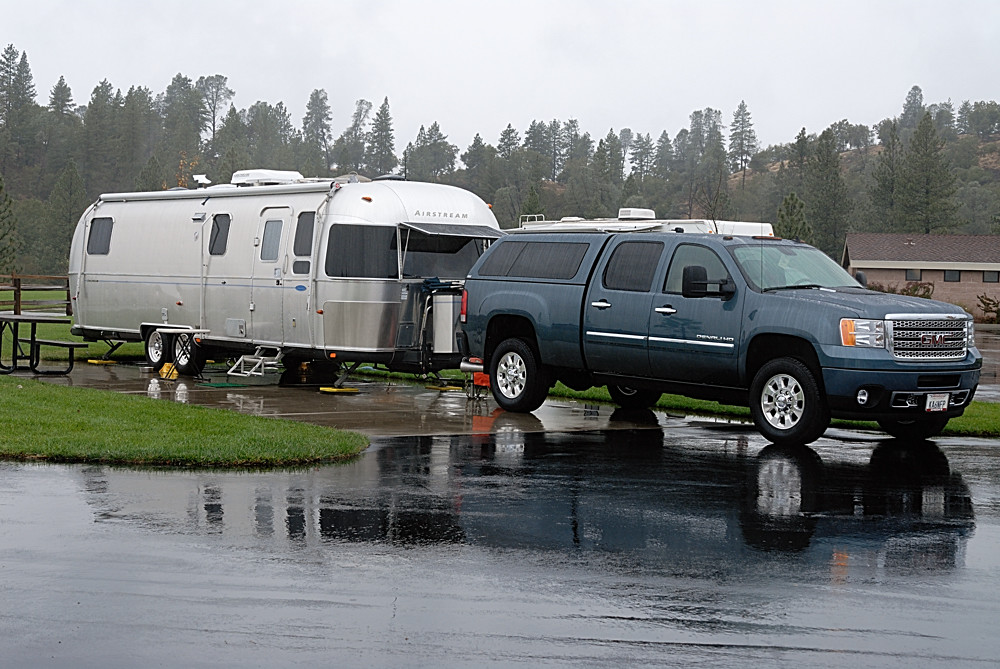
Rainy view of our 2004 30' Classic Airstream
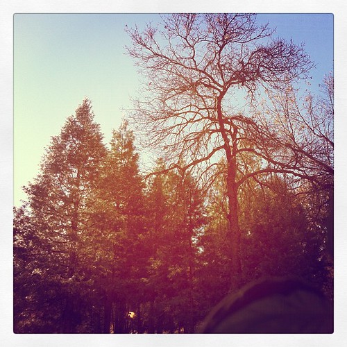
This is the view from my grandpa's front porch. I wouldn't mind waking up to this every morning. #photooftheday

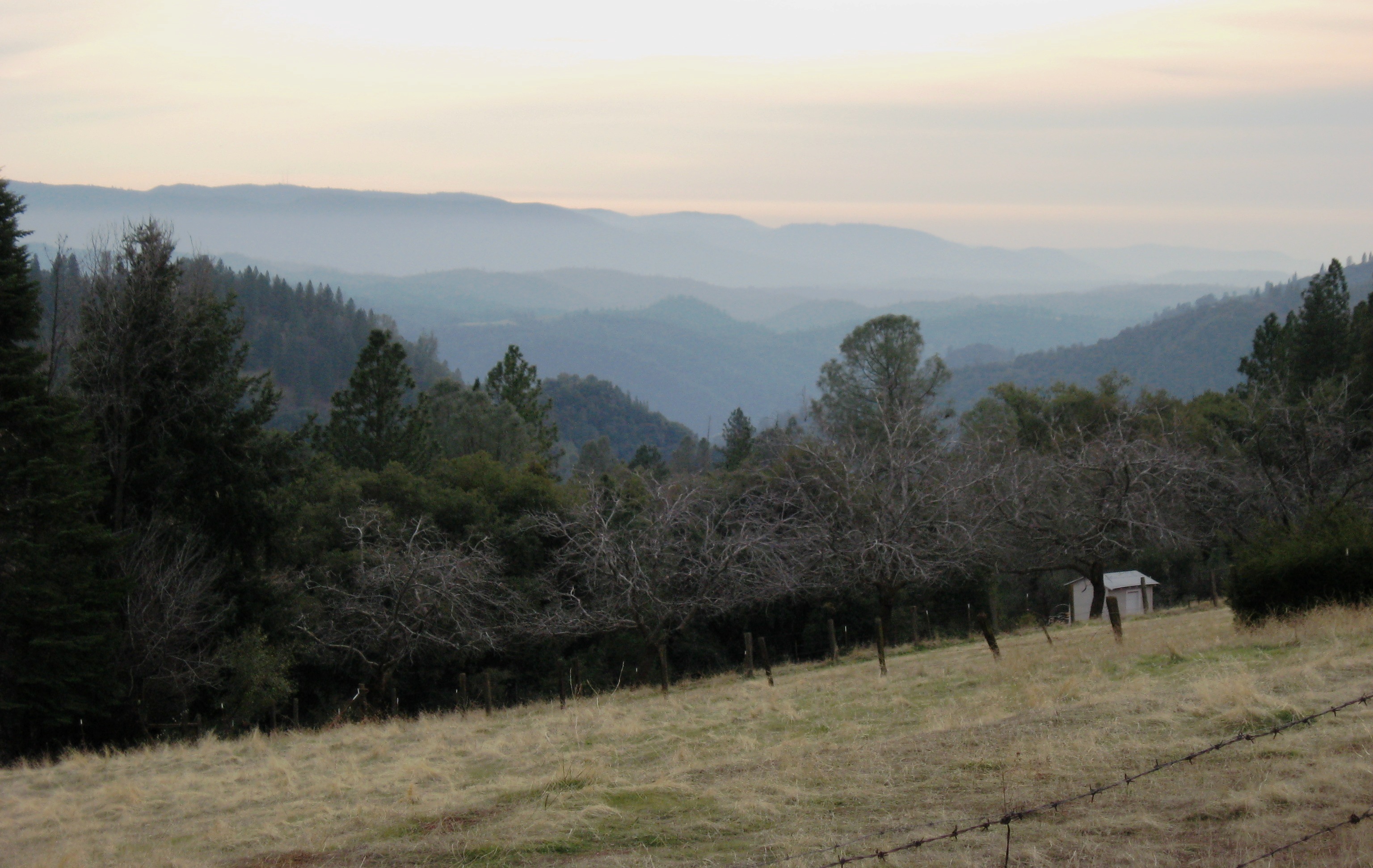
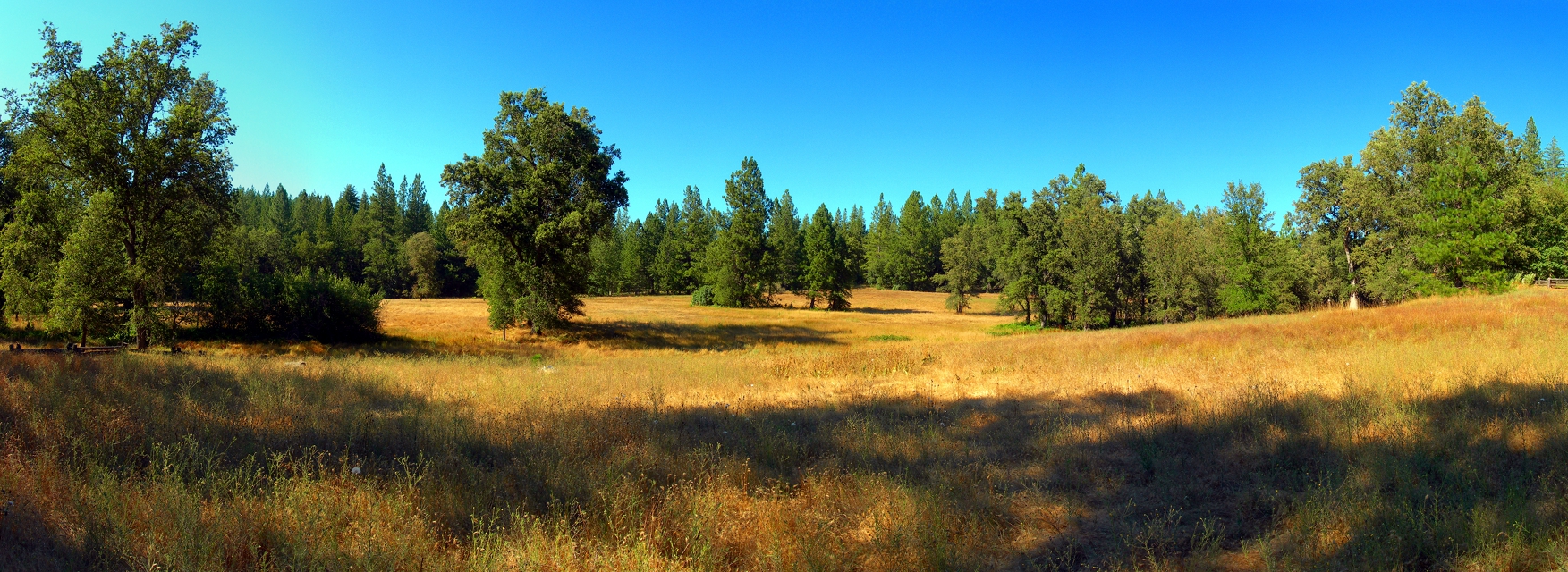
Tahoe Forest - View across the canyon Omo Ranch Road

Tahoe Forest - View across the canyon Omo Ranch Road
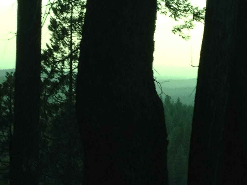
Tahoe Forest - View across the canyon Omo Ranch Road

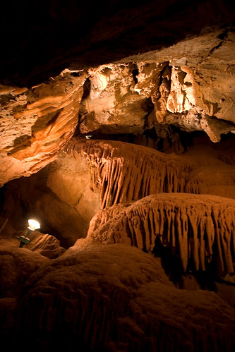
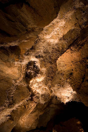
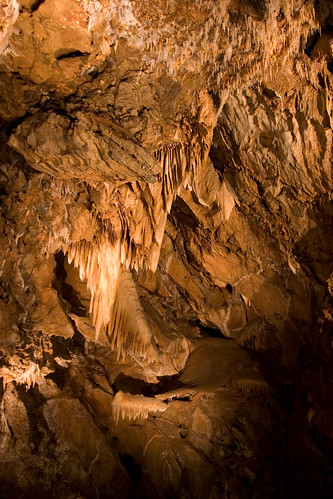
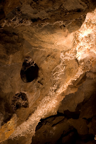
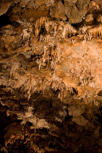
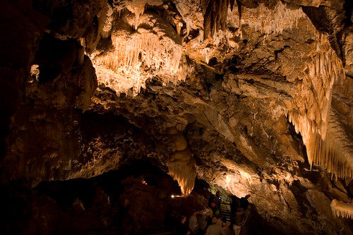
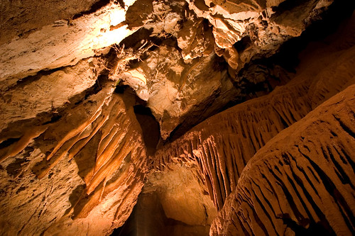
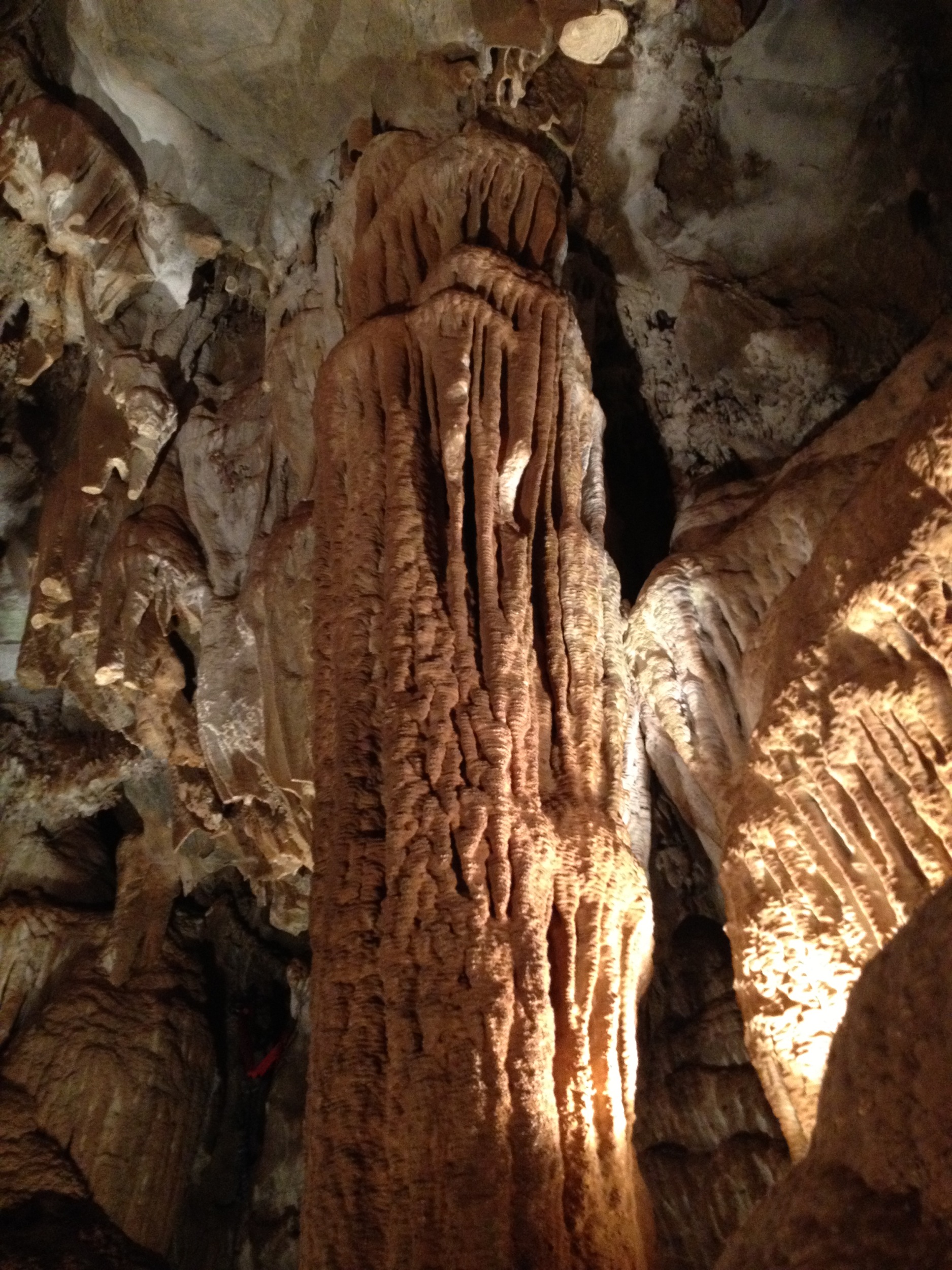
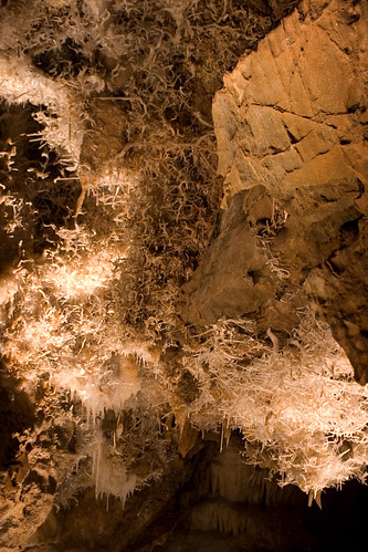
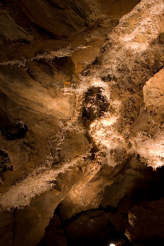
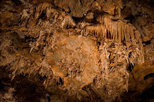
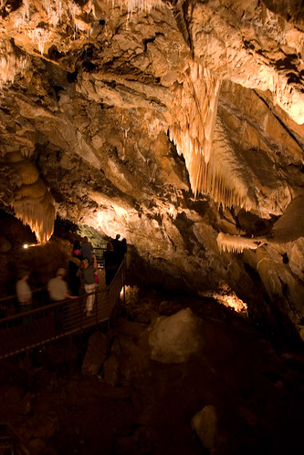
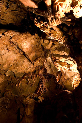
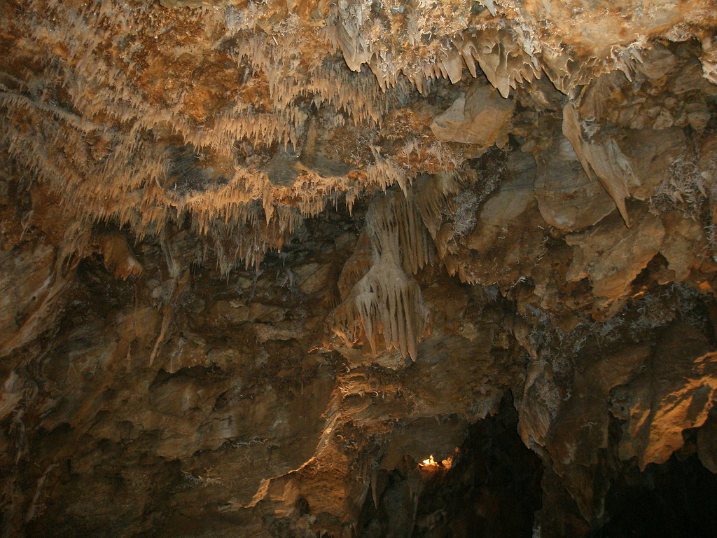
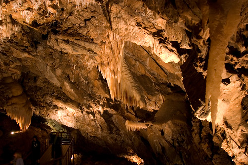
Black Chasm Cavern

Indian Grinding Rock
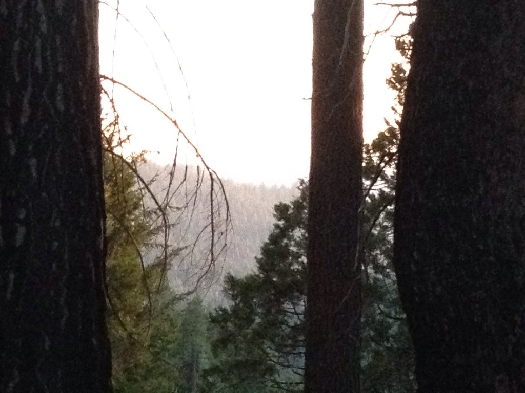
Tahoe Forest - View across the canyon Omo Ranch Road

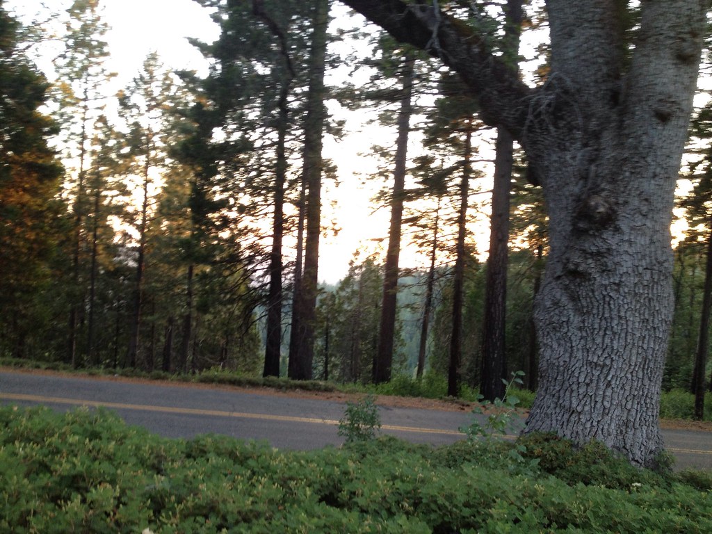
Nice Mountain View 1
Nice View 2

St. Bernard's Church

View across the canyon from Omo Ranch Road

View from Omo Road - Tahoe National Forest
Tahoe Forest - View across the canyon Omo Ranch Road

Nice View 3
CRW_7927-17
CRW_7990-54

_8130126.NEF
CRW_7967-42
CRW_7988-53
CRW_7973-44

Camera Roll-1234
CRW_7961-38
CRW_7924-15

_8130152.NEF
Camera Roll-1234
CRW_8001-60
CRW_7991-55
CRW_7975-45

Black Chasm Cavern, Volcano, California.
At the Edge of the Meadow
CRW_7959-37
CRW_7935-22
Black Chasm Caverns (35)
CRW_7956-34
Topographic Map of Pioneer, CA, USA
Find elevation by address:

Places in Pioneer, CA, USA:
Sierra Trading Post
28832 Sierra Ct
Sierra Trading Post 13
23377 Valley View Dr
24850 Buckhorn Ridge Rd
Doolittle Lane
Pioneer Post Office
27379 Silver Dr
16772 Alpine Dr
19135 Pine Dr E
19005 Pine Dr E
Inspiration Drive East
16923 Mckenzie Dr
24050 Carson Dr
17850 Camp Dr
29001 Salt Springs Rd
Red Corral Mini Mart
Dollar General
28900 Ca-88
25914 Mount Misery Ln
19476 Ponderosa Dr
18080 N Mace Dr
25000 Little John Ln
22549 Madrone Dr
27081 Dew Drop Dr
23505 Robin Rd
19088 Pine Dr E
27036 Skyview Ct
27300 Woodland Rd
16494 Cedar Heights Dr
26115 Parkwood Dr E
22901 Van De Hei Ranch Rd
27102 Skyview Ct
26956 Fern Ridge Rd
Mollie Joyce Park
California 88 & Mace Drive
17858 Camp Dr
26145 Buckhorn Ln
19384 Woodridge Dr
California 88 & Sugar Pine Drive
20163 Sierra Cir Dr
25905 E Meadow Dr
California 88 & Inspiration Drive West
California 88 & Salt Springs Road
California 88 & Lodge Road
Deadwood Peak
14346 Williams Rd
California 88 & Inspiration Drive West
27322 Susan Ct
26400 E Meadow Dr
16704 Silver Dr S
16626 Meadow Vista Dr
17011 Alpine Dr
26657 Fern Ridge Rd
29001 Salt Springs Rd
23070 Alaire Ln
Mckenzie Drive
25877 Mule Deer Ct
25961 Sylvan Rd
25890 Buckhorn Ridge Rd
Buckhorn Ridge Road
Black Prince Road & Tiger Creek Road
26675 Tiger Creek Rd
Black Prince Road
Mira Vista Court
Buckhorn Ridge Road
CA-88, Pioneer, CA, USA
27825 Inspiration Dr E
Rock Ln, Pioneer, CA, USA
Black Station Inn
16530 Meadow Vista Dr
Black Prince Road & Tiger Creek Road
19380 Amador Ave
Shake Ridge Road & Wandering Hills Road
Gallagher's Pub
26860 Lake Dr
California 88 & Woodland Road
California 88 & Inspiration Drive East
California 88 & Wandering Hills Road
California 88 & Fuentes Drive South
18100 Timberlin Dr
12579 Evelyn Way
California 26 & Williams Road
14986 Raven Rd
26291 Golf Links Dr
14430 Bobbie Ln
17740 Debbie Ct N
28900 Ca-88
Amador Automotive
26641 Sunset Ct N
23305 Ca-88
26641 Sunset Ct N
Pioneer Hardware
23200 Roden Ln
23879 Meadow Crest Dr
26190 Buckhorn Ridge Rd
26981 Meadowmont Dr
26280 Buckhorn Ridge Rd
43300 Ca-88
25692 Alta Vista Ct
25053 Buckhorn Ridge Rd
27415 Ashland Dr
26517 Fern Ridge Rd
29001 Salt Springs Rd
Our Lady Of The Pines Catholic
Golf Links Drive
Shake Ridge Road & Fern Ridge Road
27102 Skyview Ct
Meadow Vista Drive
14631 Kathy Ln
27580 N Chaparral Ct
Le's Chinese Restaurant
16932 Mckenzie Dr
Cook's Station
Dew Drop Bypass
Ham's Station
15837 Schaefer Ranch Rd
40900 Ca-88
Meadow Pines Estates
Buckhorn Lodge
16666 Meadow Vista Dr
Pioneer Elementary School
24968 Ridge Crest Dr
22745 Red Corral Rd
26810 Columbia Dr
25020 Sugar Pine Dr
Woodcrest Drive
The Mountain Grille / Mace Meadows Golf Course
16639 Meadow Vista Dr
27031 Ca-88
26763 Columbia Dr
27480 Whitmore Dr
16667 Meadow Vista Dr
26255 Ca-88
23141 Alaire Ln
North Mace Drive
17528 Antelope Dr E
Sylvan Road
17823 Mira Vista Ct
Dew Drop Drive
Dew Drop Bypass
16008 Cedar Heights Dr
Buckhorn Lane
Plasse's Resort
Silver Lake
Tragedy Spring
Sierra Yard Supply & Equipment
21283 Sierra Cir Dr
24225 Gold Cir Dr
Pioneer Inn & Suites
California 88 & Van De Hei Ranch Road
Young’s Payless Market Iga
Buckhorn Mobile Home Park
24500 Robin Hood Dr
California 88 & Old Emigrant Way
California 88 & Carson Drive
25494 N Meadow Dr
22301 Volcano Hills Rd
26884 Woodland Rd
26161 Sugar Pine Dr
16140 Paradise Rd
20442 Chaparral Dr
20854 Sierra Cir Dr
25693 Ashland View Ct
12578 Antelope Dr E
Carson Drive
17740 Circle View Dr
Amador Memorial Cemetery
26605 Sugar Pine Dr
23995 Carson Dr
Iga Village Market
26017 Kings Ct
26705 Cedar Ave
26779 Spring Ct
Kit Carson Rd, Pioneer, CA, USA
22901 Van De Hei Ranch Rd
Buckhorn
Thunder Mountain
26550 Pointe Ct
26956 Fern Ridge Rd
California 88 & Pioneer Creek Road
California 88 & Shake Ridge Road
California 88 & Defender Grade Road
27221 Inspiration Dr E
California 88 & Hinton Road
Carson Drive & Woodfern Drive
California 88 & Cedar Heights Drive
Black Prince Road & Tiger Creek Road
26891 Four Wheel Drive Rd
25749 Ashland View Ct
16586 Carolyn Ct
Spring Road
34950 Ca-88
27700 Susan Ln
Madrone Court South
15368 Lodestar Way
Pioneer Creek Mobile Home Comm
Pioneer Volcano Road & California 88
17129 Mckenzie Dr
22529 Madrone Dr
Plasse Rd, Pioneer, CA, USA
18700 Vista Ln
15385 Quartz Rd
16101 Paradise Rd
16611 Silver Dr S
19021 Circle View Dr
27649 Ca-88
Cedar Heights Drive
Prospect Place
16534 Alpine Ln
24100 Carson Dr
California 88 & Buckhorn Ridge Road
Pioneer Park
California 88 & Meadow Vista Drive
16820 Doolittle Ln
25889 View Ct
17000 Glenmoor Dr
California 88 & Tiger Creek Road
California 88 & Wagon Wheel Drive
Pioneer Volcano Road & Ohls Road
California 88 & Alaire Lane
California 88 & California 26
California 88 & Omo Ranch Road
Places near Pioneer, CA, USA:
California 88 & Defender Grade Road
Pioneer Elementary School
California 88 & Pioneer Creek Road
Pioneer Hardware
15585 Hinton Rd
California 88 & Carson Drive
Le's Chinese Restaurant
California 88 & Hinton Road
Pioneer Post Office
15837 Schaefer Ranch Rd
24850 Buckhorn Ridge Rd
24225 Gold Cir Dr
Gallagher's Pub
24100 Carson Dr
Pioneer Inn & Suites
24050 Carson Dr
23879 Meadow Crest Dr
Carson Drive
Carson Drive & Woodfern Drive
23995 Carson Dr
Recent Searches:
- Elevation map of Greenland, Greenland
- Elevation of Sullivan Hill, New York, New York, 10002, USA
- Elevation of Morehead Road, Withrow Downs, Charlotte, Mecklenburg County, North Carolina, 28262, USA
- Elevation of 2800, Morehead Road, Withrow Downs, Charlotte, Mecklenburg County, North Carolina, 28262, USA
- Elevation of Yangbi Yi Autonomous County, Yunnan, China
- Elevation of Pingpo, Yangbi Yi Autonomous County, Yunnan, China
- Elevation of Mount Malong, Pingpo, Yangbi Yi Autonomous County, Yunnan, China
- Elevation map of Yongping County, Yunnan, China
- Elevation of North 8th Street, Palatka, Putnam County, Florida, 32177, USA
- Elevation of 107, Big Apple Road, East Palatka, Putnam County, Florida, 32131, USA
- Elevation of Jiezi, Chongzhou City, Sichuan, China
- Elevation of Chongzhou City, Sichuan, China
- Elevation of Huaiyuan, Chongzhou City, Sichuan, China
- Elevation of Qingxia, Chengdu, Sichuan, China
- Elevation of Corso Fratelli Cairoli, 35, Macerata MC, Italy
- Elevation of Tallevast Rd, Sarasota, FL, USA
- Elevation of 4th St E, Sonoma, CA, USA
- Elevation of Black Hollow Rd, Pennsdale, PA, USA
- Elevation of Oakland Ave, Williamsport, PA, USA
- Elevation of Pedrógão Grande, Portugal