Elevation of Sylvan Rd, Pioneer, CA, USA
Location: United States > California > Alpine County > Pioneer >
Longitude: -120.54508
Latitude: 38.445465
Elevation: 1062m / 3484feet
Barometric Pressure: 89KPa
Elevation Map:
Satellite Map:
Related Photos:

Magic Shroom Beetle

Nice Mountain View 1
Nice View 2

Nice View 3
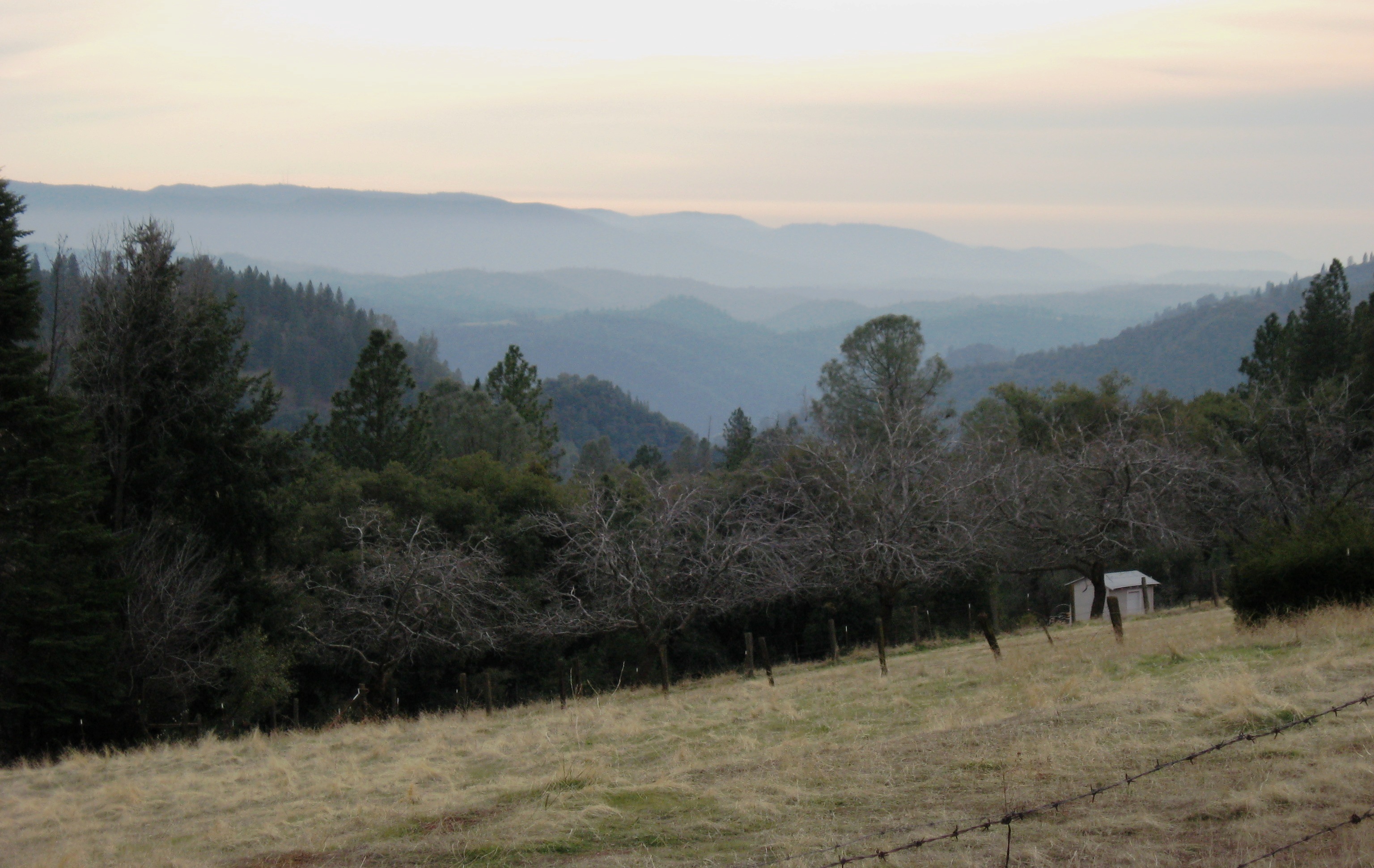
This is the view from my grandpa's front porch. I wouldn't mind waking up to this every morning. #photooftheday

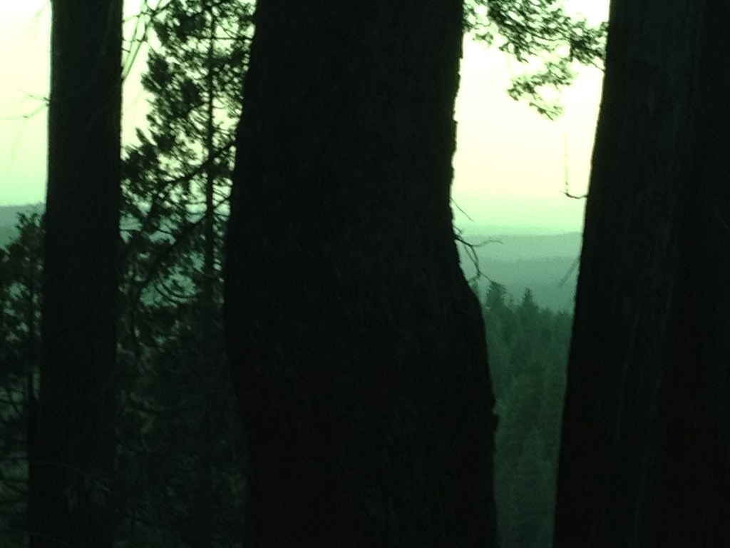
Tahoe Forest - View across the canyon Omo Ranch Road
Tahoe Forest - View across the canyon Omo Ranch Road

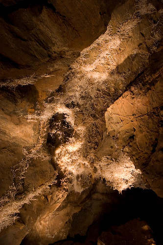
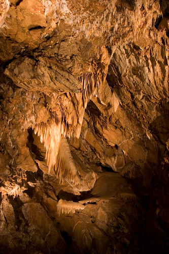
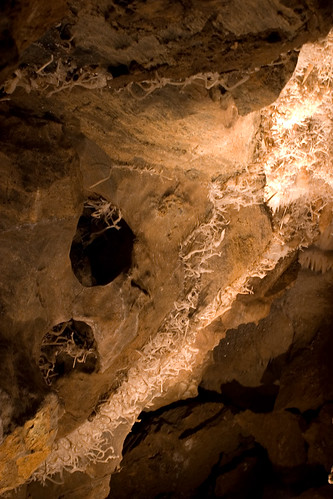
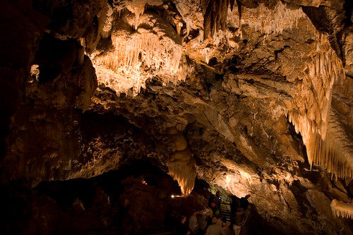
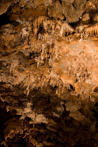
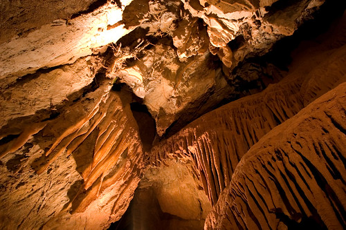
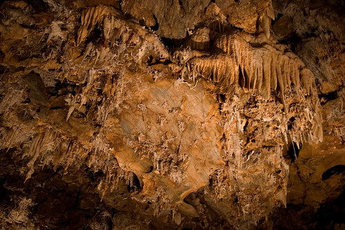
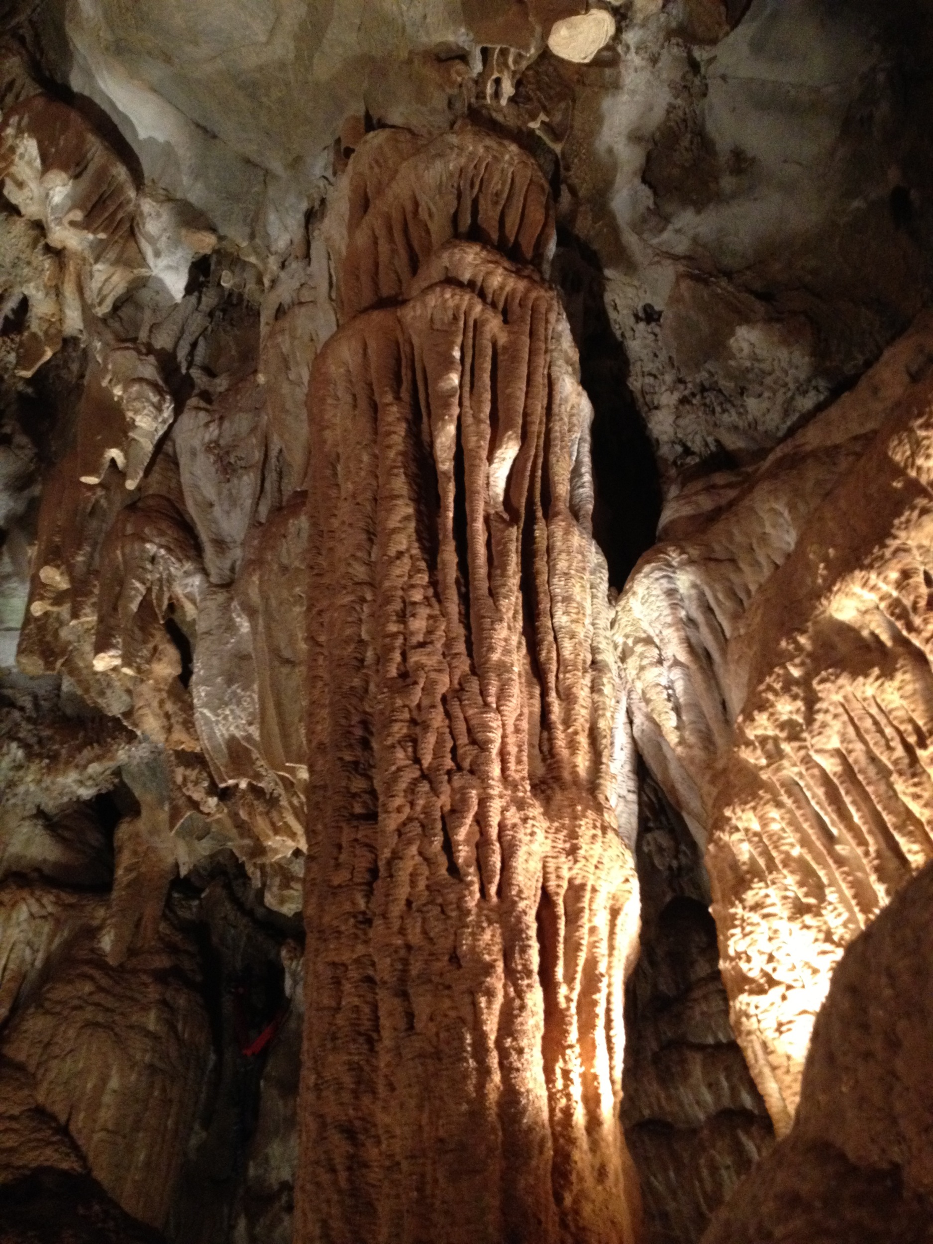
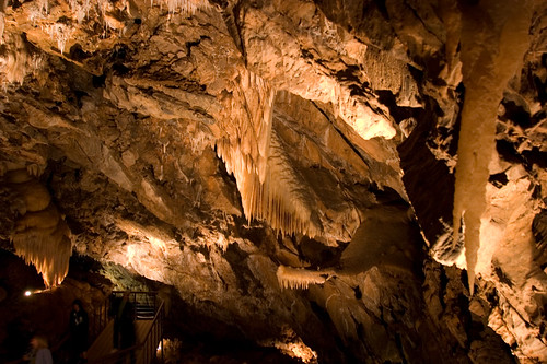
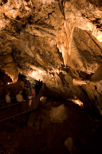
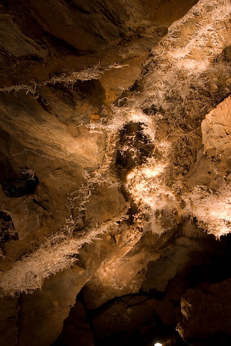
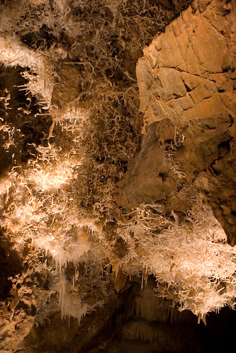
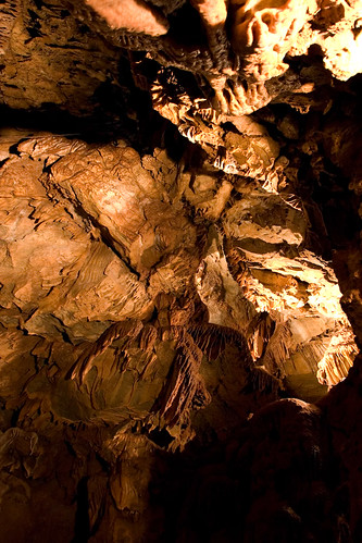
Black Chasm Cavern
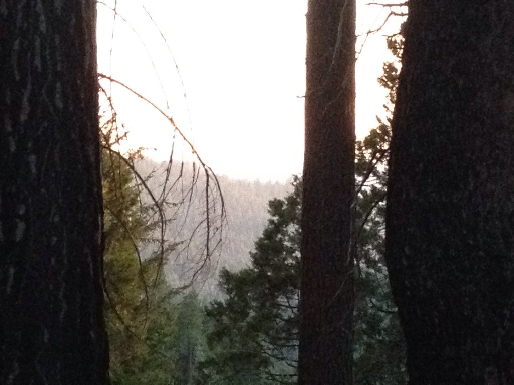
Tahoe Forest - View across the canyon Omo Ranch Road

View across the canyon from Omo Ranch Road

View from Omo Road - Tahoe National Forest
Tahoe Forest - View across the canyon Omo Ranch Road
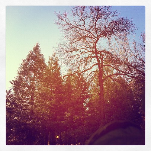
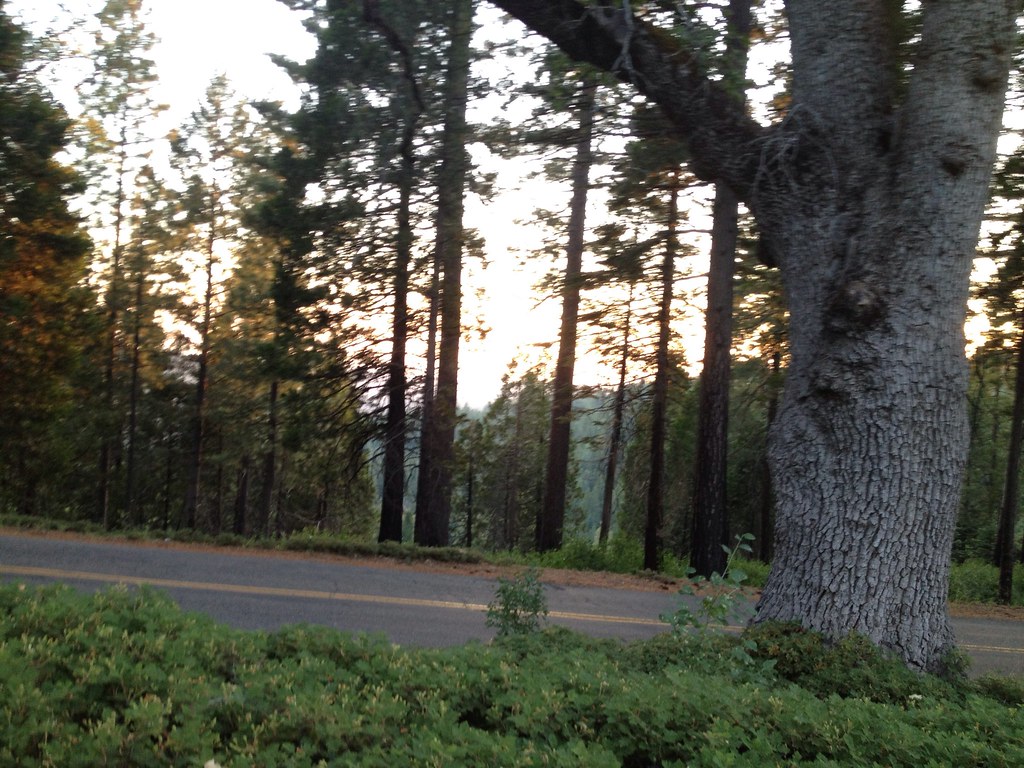
Sylvan View from Bedroom
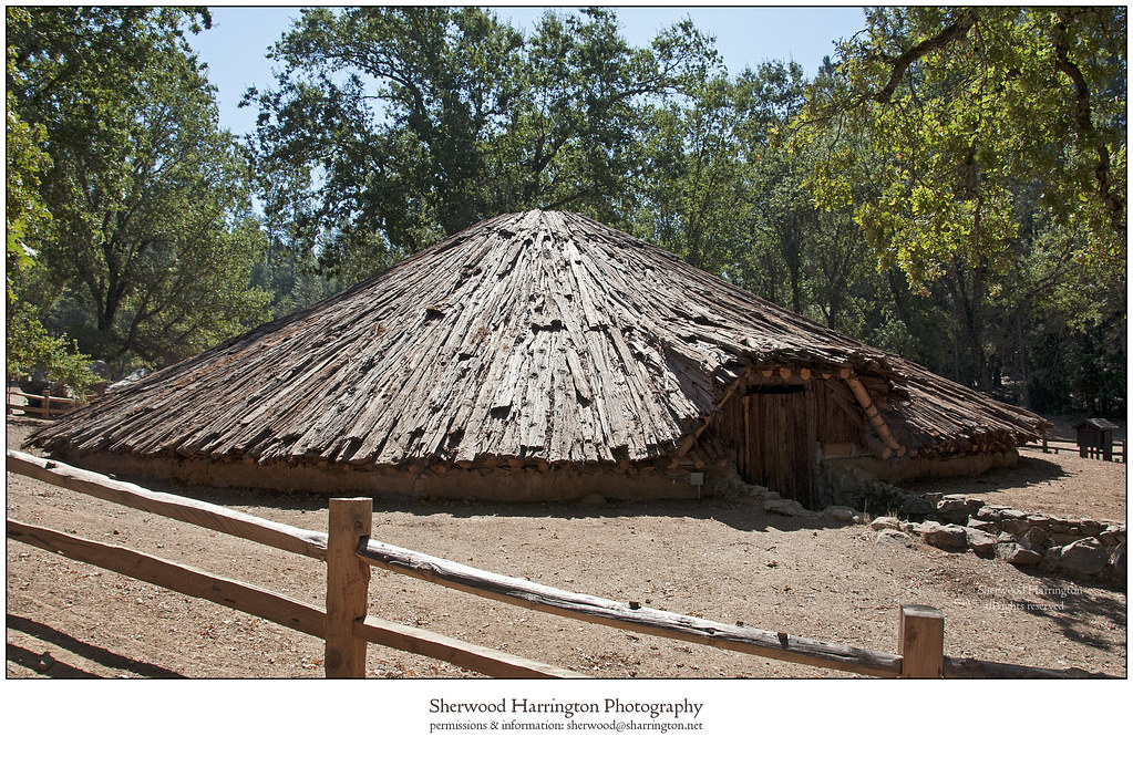
Miwok Ceremonial Roundhouse, 6 of 6
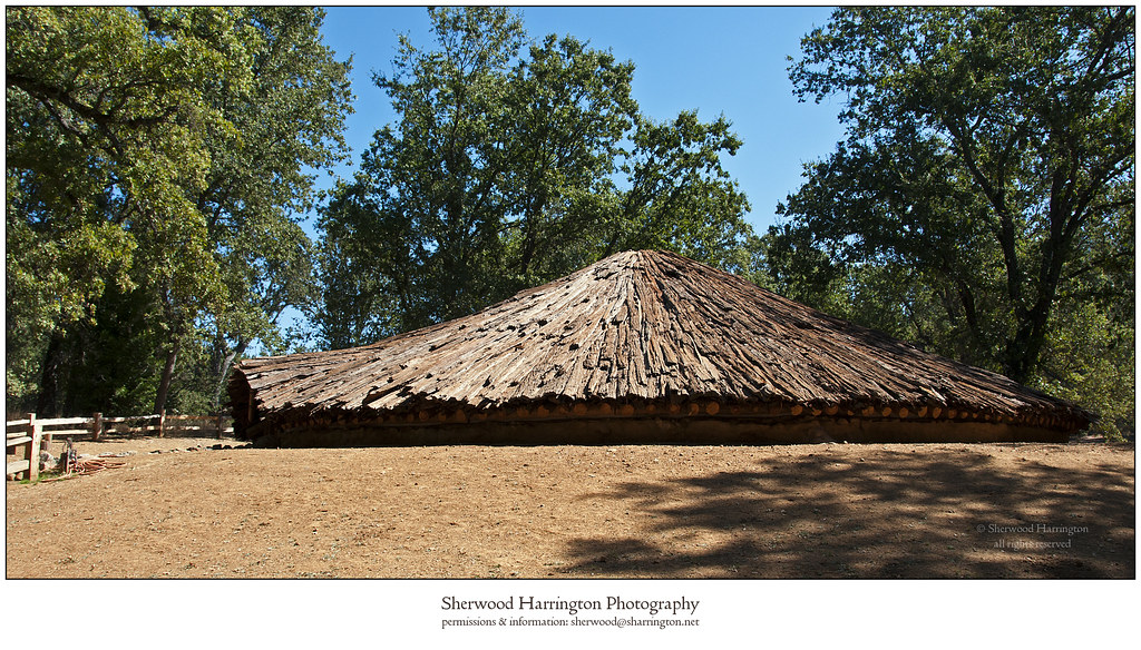
Miwok Ceremonial Roundhouse, 4 of 6

Miwok Ceremonial Roundhouse, 5 of 6
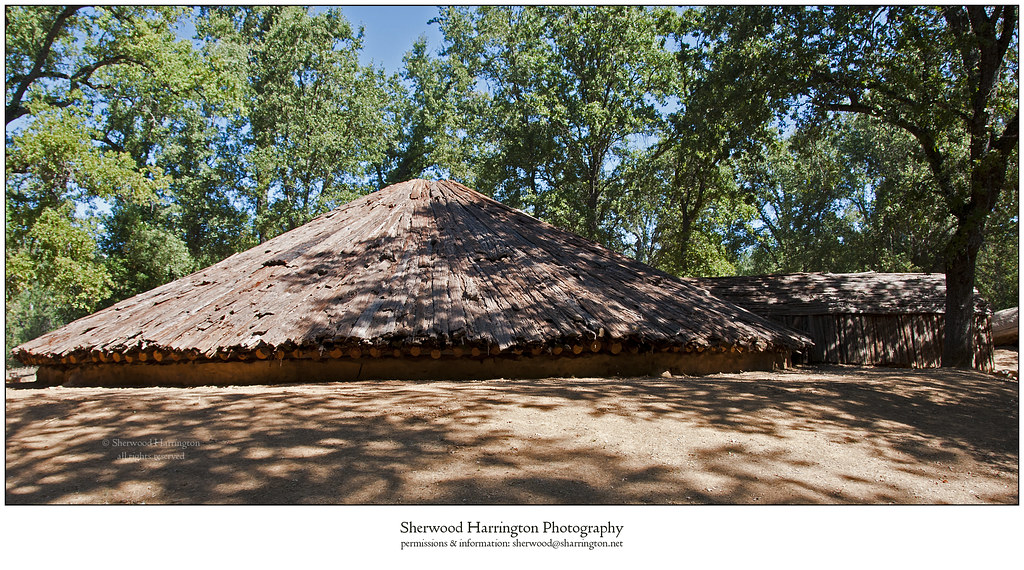
Miwok Ceremonial Roundhouse, 2 of 6

Tahoe Forest - View across the canyon Omo Ranch Road

St. Bernard's Church

Indian Grinding Rock
CRW_7990-54
CRW_7967-42
CRW_7988-53
CRW_7961-38
CRW_7973-44

Camera Roll-1234
CRW_7924-15
CRW_7975-45

_8130126.NEF

_8130154.NEF
Camera Roll-1234
CRW_7956-34
CRW_7959-37

_8130152.NEF
CRW_7991-55
CRW_8001-60
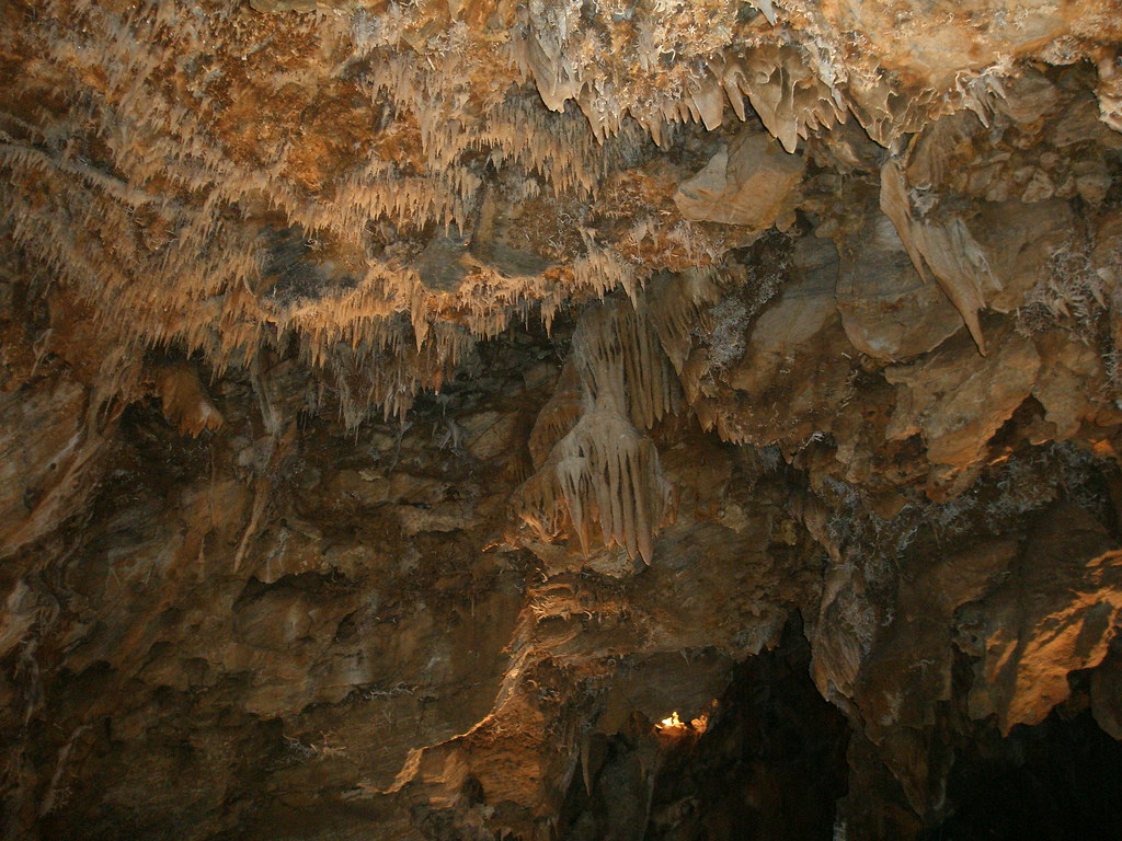
Black Chasm Caverns (35)

Black Chasm Cavern, Volcano, California.
CRW_7935-22
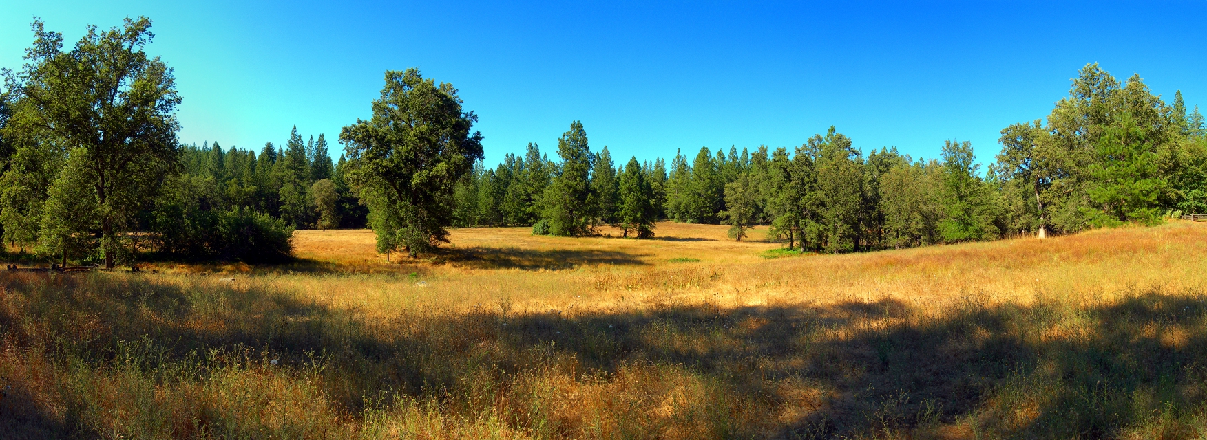
At the Edge of the Meadow
Topographic Map of Sylvan Rd, Pioneer, CA, USA
Find elevation by address:

Places near Sylvan Rd, Pioneer, CA, USA:
Buckhorn Lane
Prospect Place
Sylvan Road
26145 Buckhorn Ln
Doolittle Lane
26190 Buckhorn Ridge Rd
Pioneer Creek Mobile Home Comm
25890 Buckhorn Ridge Rd
25914 Mount Misery Ln
16820 Doolittle Ln
16140 Paradise Rd
16101 Paradise Rd
Buckhorn Ridge Road
Buckhorn Ridge Road
Amador Memorial Cemetery
16008 Cedar Heights Dr
Cedar Heights Drive
California 88 & Cedar Heights Drive
Pioneer Park
24968 Ridge Crest Dr
Recent Searches:
- Elevation of W Granada St, Tampa, FL, USA
- Elevation of Pykes Down, Ivybridge PL21 0BY, UK
- Elevation of Jalan Senandin, Lutong, Miri, Sarawak, Malaysia
- Elevation of Bilohirs'k
- Elevation of 30 Oak Lawn Dr, Barkhamsted, CT, USA
- Elevation of Luther Road, Luther Rd, Auburn, CA, USA
- Elevation of Unnamed Road, Respublika Severnaya Osetiya — Alaniya, Russia
- Elevation of Verkhny Fiagdon, North Ossetia–Alania Republic, Russia
- Elevation of F. Viola Hiway, San Rafael, Bulacan, Philippines
- Elevation of Herbage Dr, Gulfport, MS, USA