Elevation of Cedar Heights Dr, Pioneer, CA, USA
Location: United States > California > Alpine County > Pioneer >
Longitude: -120.55487
Latitude: 38.4375499
Elevation: 980m / 3215feet
Barometric Pressure: 90KPa
Elevation Map:
Satellite Map:
Related Photos:
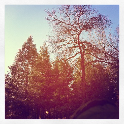
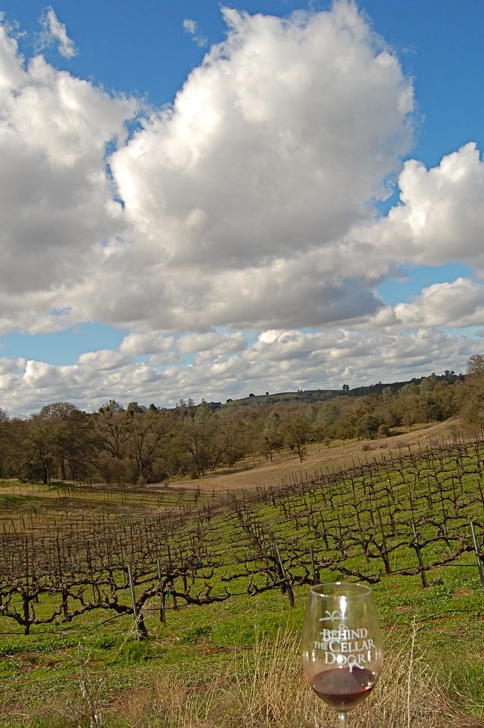
This is the view from my grandpa's front porch. I wouldn't mind waking up to this every morning. #photooftheday

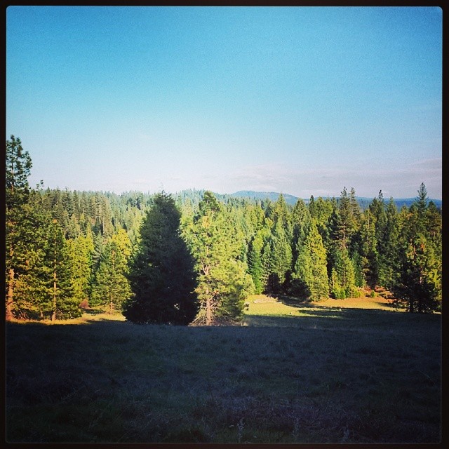
Tahoe Forest - View across the canyon Omo Ranch Road

Magic Shroom Beetle

Tahoe Forest - View across the canyon Omo Ranch Road
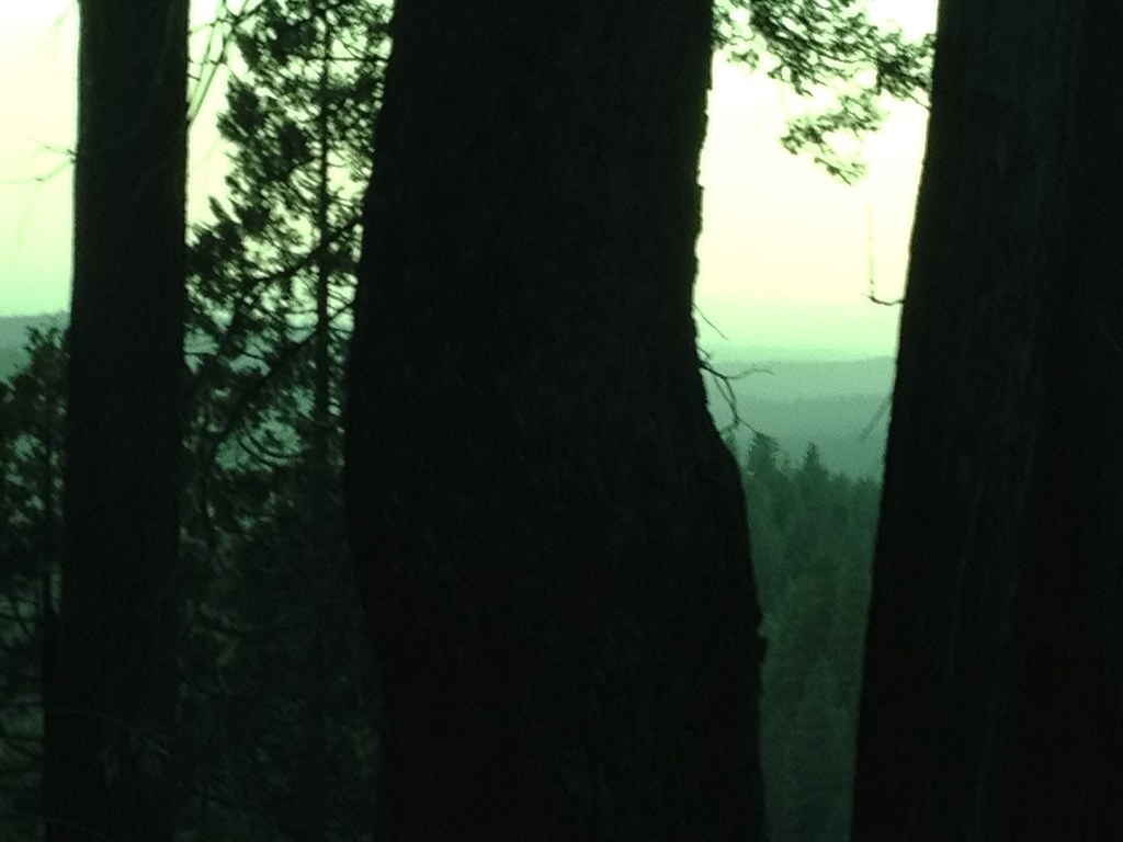
Tahoe Forest - View across the canyon Omo Ranch Road

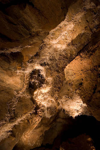
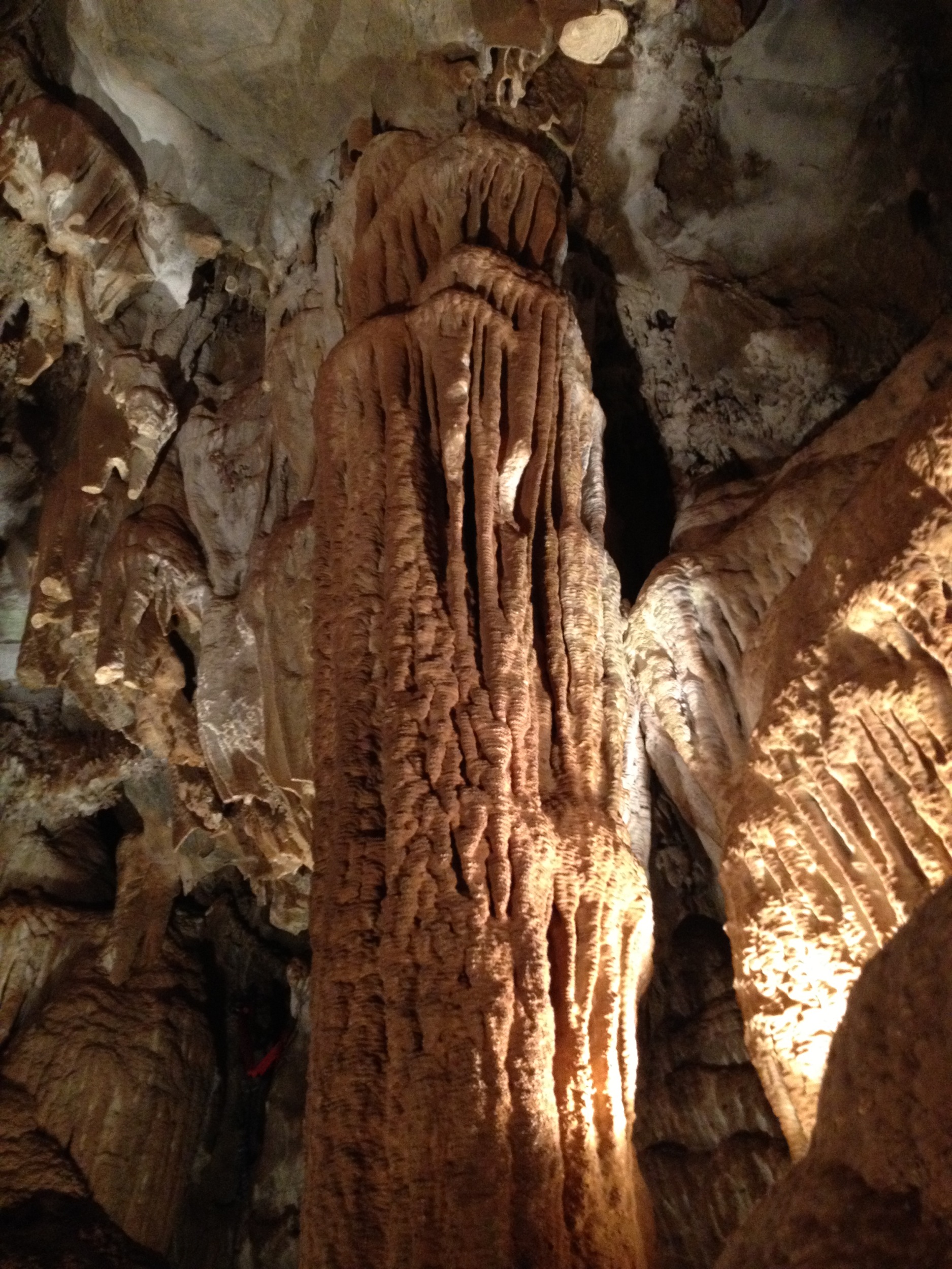
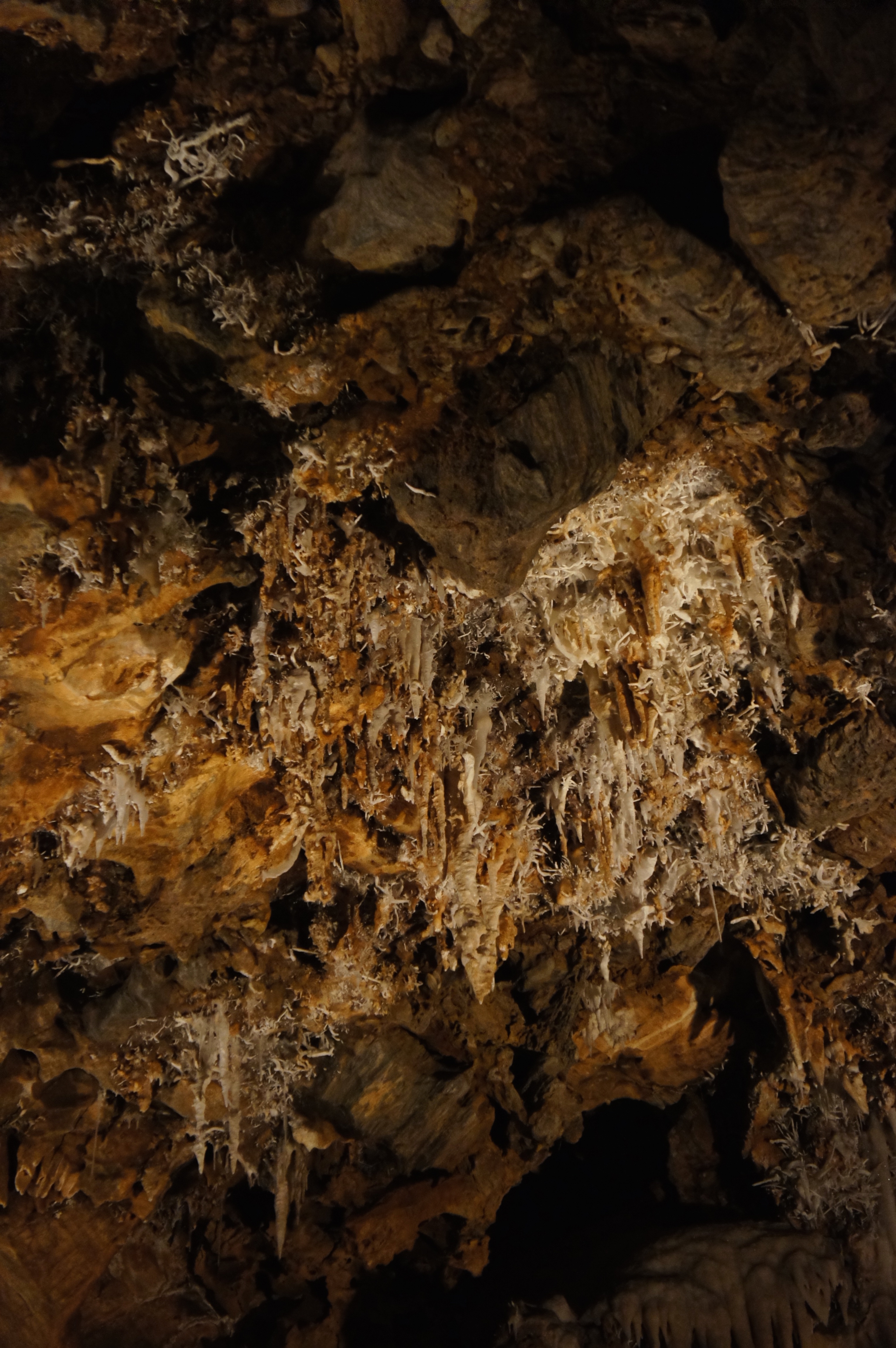
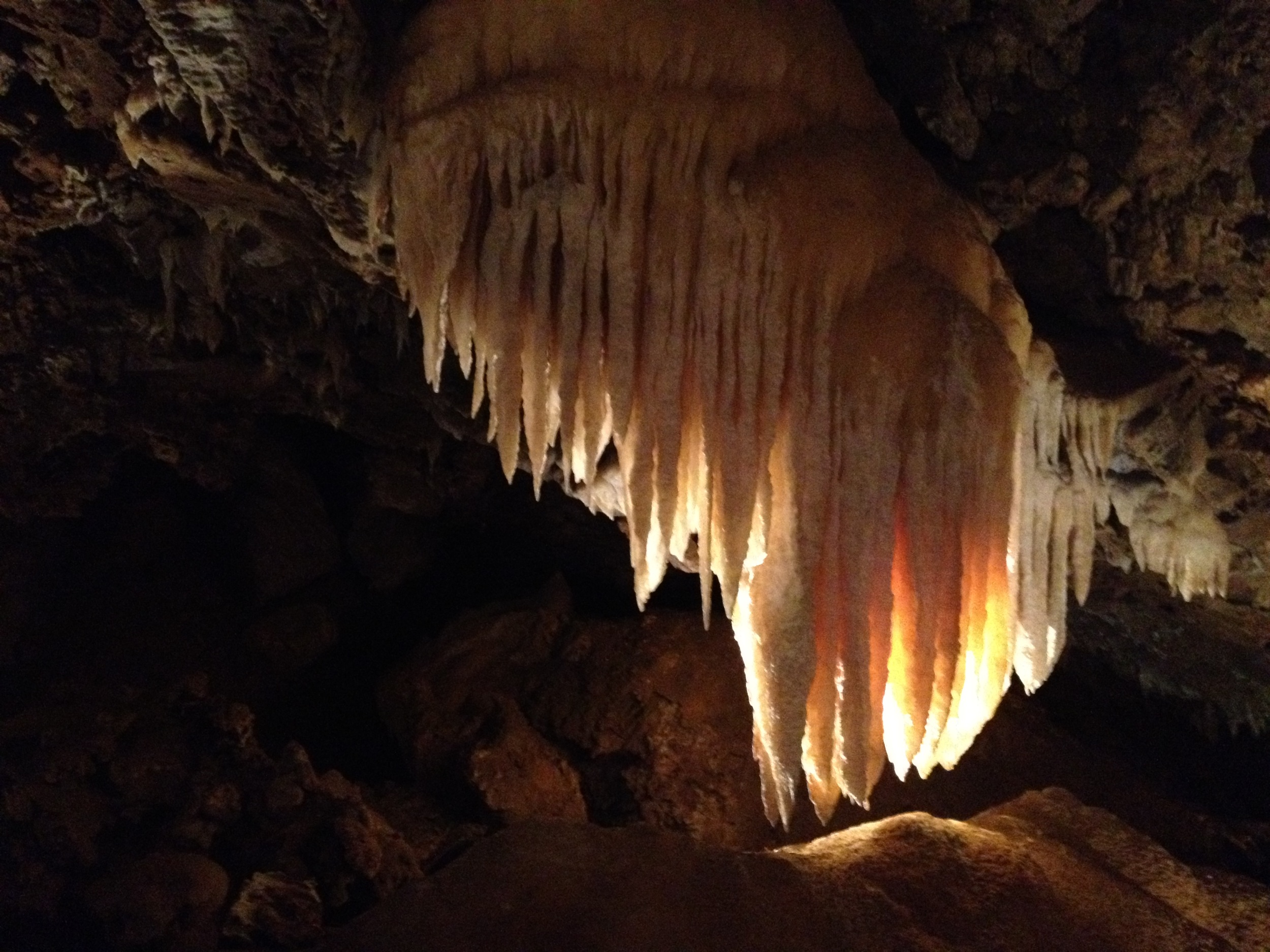
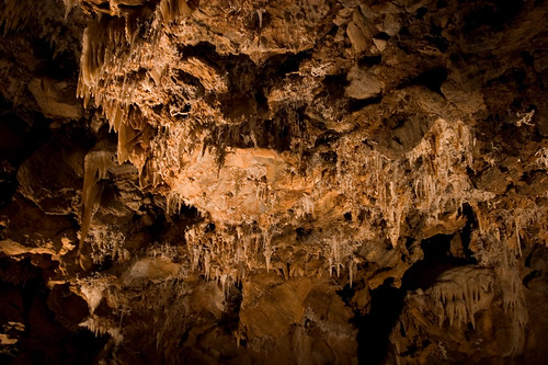
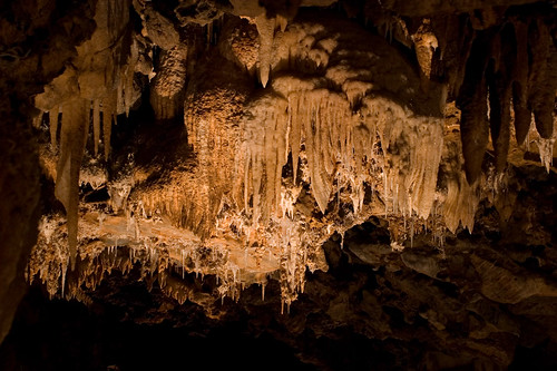
Black Chasm Cavern

Indian Grinding Rock
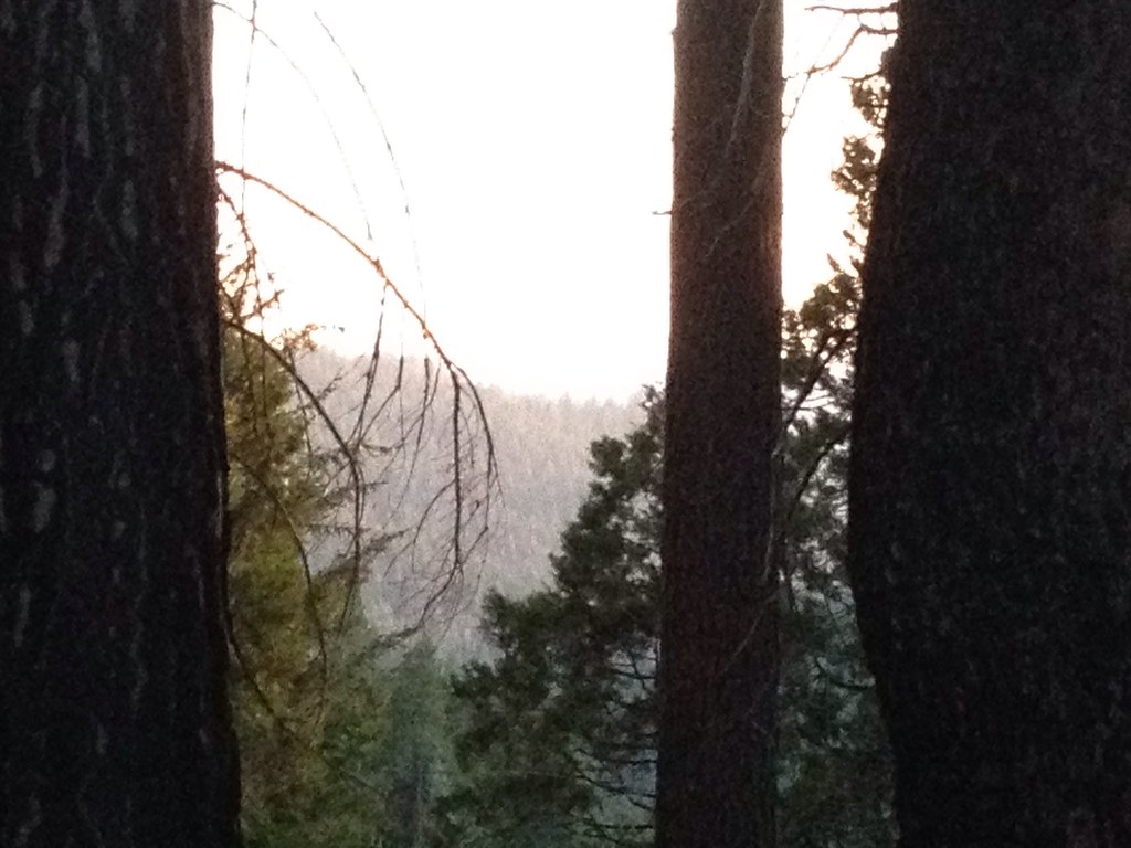
Tahoe Forest - View across the canyon Omo Ranch Road

Nice Mountain View 1
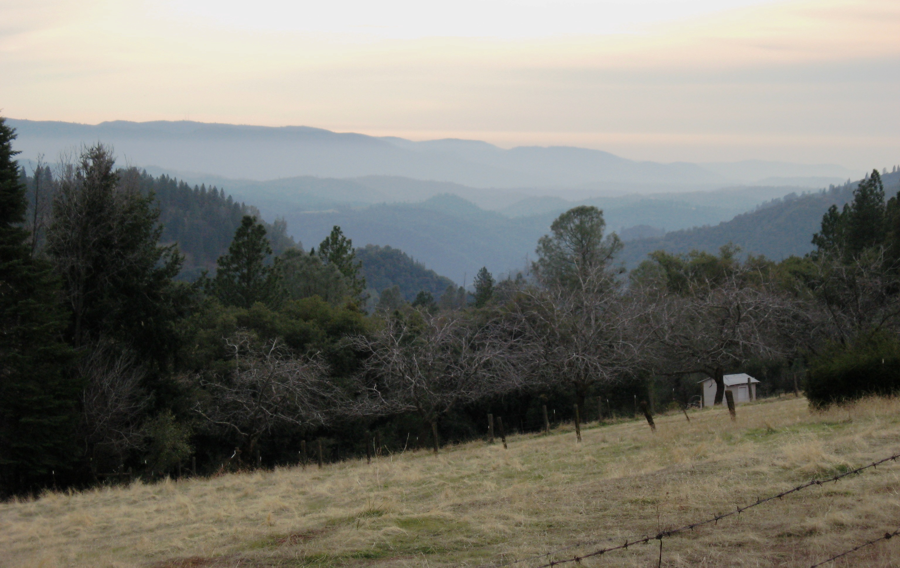
Nice View 2

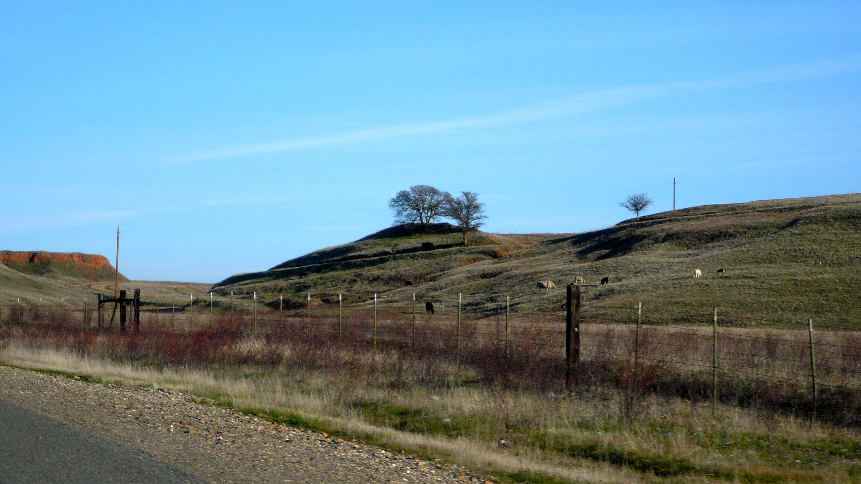
View across the canyon from Omo Ranch Road

St. Bernard's Church

View from Omo Road - Tahoe National Forest
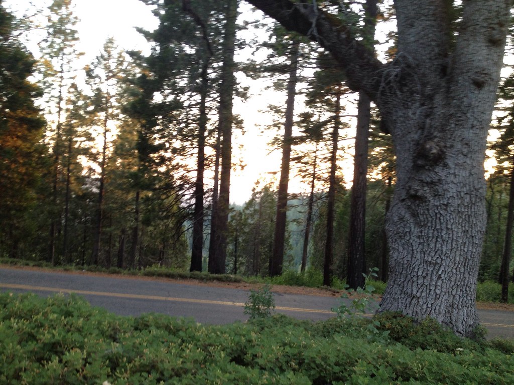
Tahoe Forest - View across the canyon Omo Ranch Road

Nice View 3
Sylvan View from Bedroom
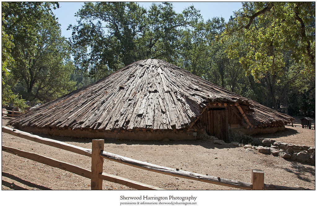
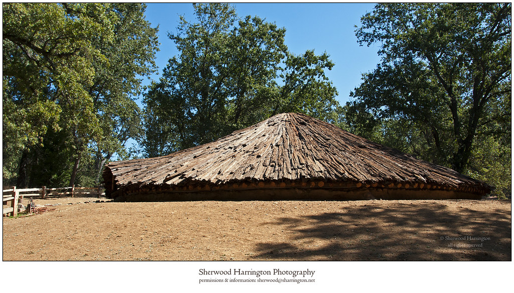
Miwok Ceremonial Roundhouse, 6 of 6
Miwok Ceremonial Roundhouse, 4 of 6

Miwok Ceremonial Roundhouse, 5 of 6
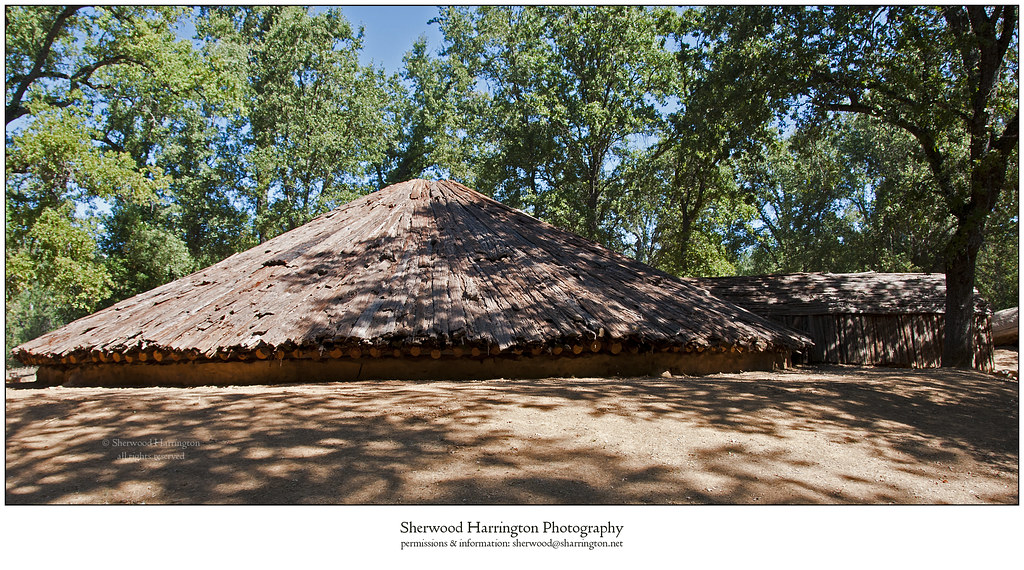
Miwok Ceremonial Roundhouse, 2 of 6
CRW_7990-54

Camera Roll-1234
Camera Roll-1234

_8130152.NEF

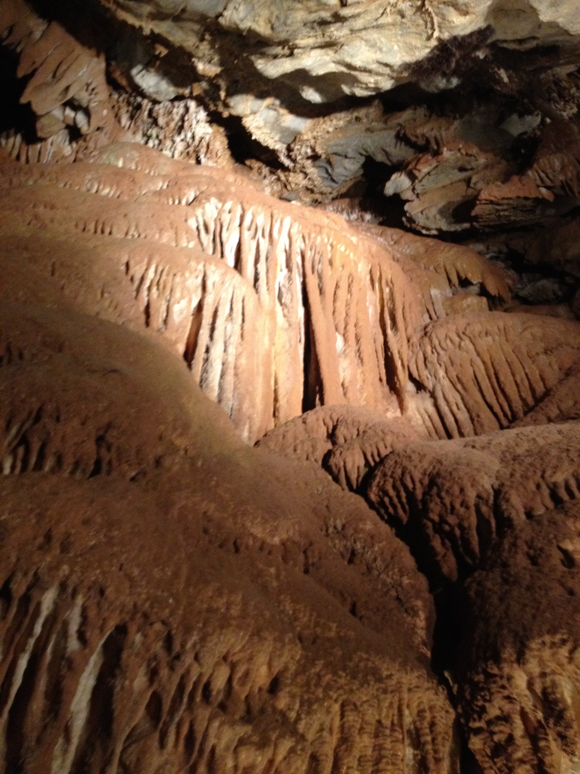
Black Chasm Cavern, Volcano, California.
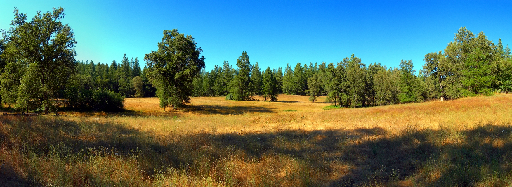
At the Edge of the Meadow
ATR20130218-1649-195
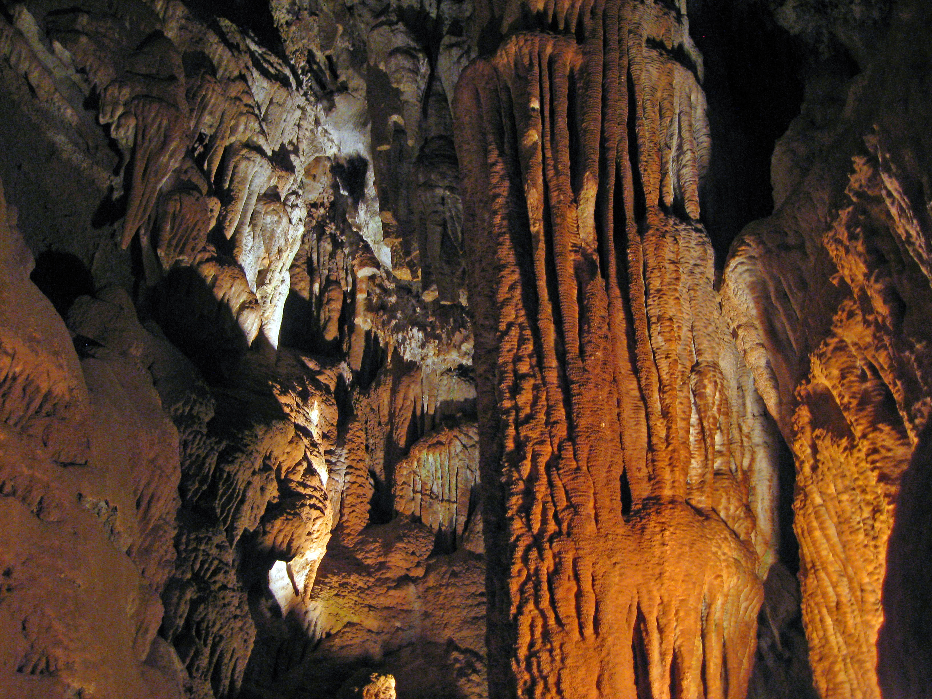
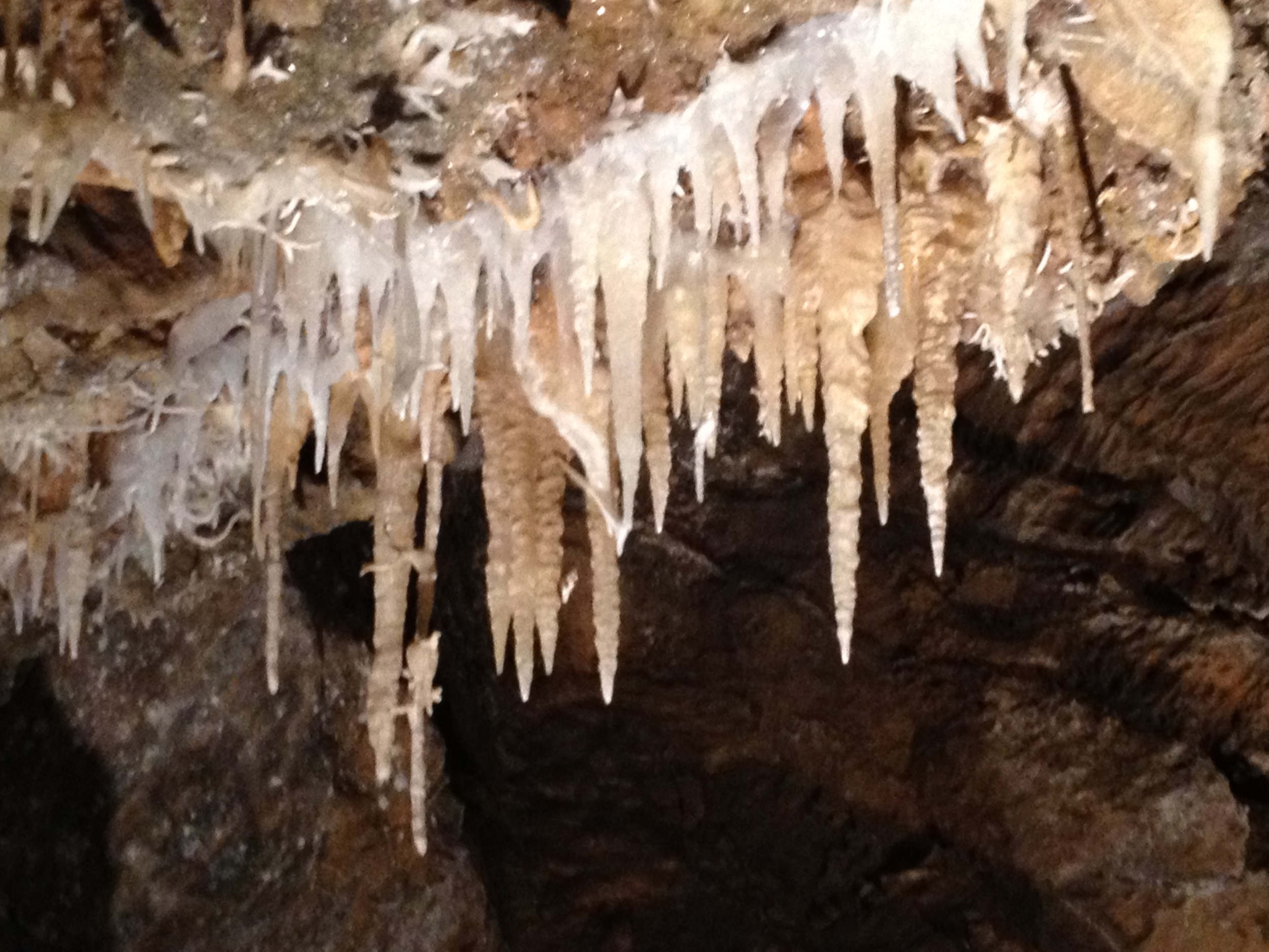
Black Chasm Caves

Camera Roll-1243
Camera Roll-1243

_8120111.NEF
Walking the pups! So #pretty! Great weather! #mountains
Camera Roll-1245
CRW_8006-61
2009 Cali Road Trip - 139

Camera Roll-1245

2009 Cali Road Trip - 140
Camera Roll-1230
winter skies
CRW_7962-39
Topographic Map of Cedar Heights Dr, Pioneer, CA, USA
Find elevation by address:

Places near Cedar Heights Dr, Pioneer, CA, USA:
California 88 & Cedar Heights Drive
Cedar Heights Drive
Amador Memorial Cemetery
Buckhorn Ridge Road
Buckhorn Ridge Road
Pioneer Park
25914 Mount Misery Ln
25053 Buckhorn Ridge Rd
25890 Buckhorn Ridge Rd
16101 Paradise Rd
24968 Ridge Crest Dr
16140 Paradise Rd
Sylvan Road
Buckhorn Lane
California 88 & Hinton Road
24850 Buckhorn Ridge Rd
Le's Chinese Restaurant
25961 Sylvan Rd
Pioneer Creek Mobile Home Comm
15585 Hinton Rd
Recent Searches:
- Elevation of Côte-des-Neiges, Montreal, QC H4A 3J6, Canada
- Elevation of Bobcat Dr, Helena, MT, USA
- Elevation of Zu den Ihlowbergen, Althüttendorf, Germany
- Elevation of Badaber, Peshawar, Khyber Pakhtunkhwa, Pakistan
- Elevation of SE Heron Loop, Lincoln City, OR, USA
- Elevation of Slanický ostrov, 01 Námestovo, Slovakia
- Elevation of Spaceport America, Co Rd A, Truth or Consequences, NM, USA
- Elevation of Warwick, RI, USA
- Elevation of Fern Rd, Whitmore, CA, USA
- Elevation of 62 Abbey St, Marshfield, MA, USA